 Block
Groton Long Point, Connecticut
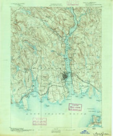
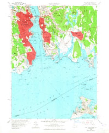
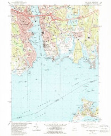
32 topographic sheets cover this place, the earliest surveyed in 1892 and the latest in 1984. It stands in Groton town. It lies in ZIP code area 06340. It lies near Mouse Island. The Survey maps it on the New London quadrangle.
Topographic sheets covering this place
12 surveys from 32 printed sheetsMatched by testing this settlement's coordinate against the published boundary of every sheet in the United States Geological Survey's historical collection. Each opens the scanned sheet at the Survey.
- 1892 USGS New London quadrangle1:62500
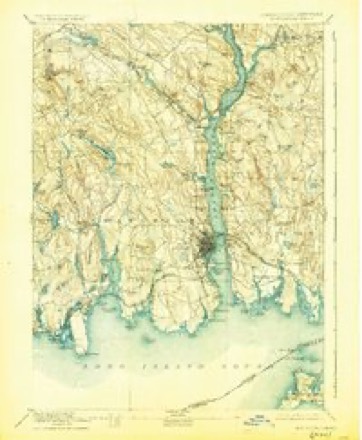
- 1893 USGS New London quadrangle1:62500, 10 printings
- 1921 USGS New London quadrangle1:62500
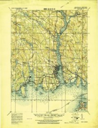
- 1938 USGS New London quadrangle1:31680, 3 printings
- 1947 USGS Hartford quadrangle1:250000, 2 printings
- 1948 USGS Hartford quadrangle1:250000, 2 printings
- 1958 USGS New London quadrangle1:24000, 3 printings
- 1961 USGS Hartford quadrangle1:250000
- 1962 USGS Hartford quadrangle1:250000, 3 printings
- 1965 USGS Hartford quadrangle1:250000, 2 printings
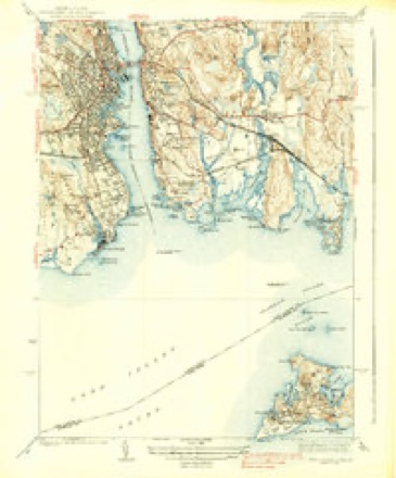
- 1983 USGS New Haven quadrangle1:100000, 2 printings
- 1984 USGS New London quadrangle1:24000, 2 printings






In the county-history sources
15,472 words on this townshipHistory of New London County, Connecticut, with Biographical Sketches of Many of Its Pioneers and Prominent Men, published 1882 names this settlement in its chapter on Groton Town. These are the passages that mention it, exactly as the scans read.
It occurred two days after the gallant repulse which Commodore Hardy met at Stonington. The British fleet was lying oS the Hummocks. Knowing the watchfulness of the enemy for plunder, the militia and sailors planned to decoy a barge from the fleet, filled with armed men. This they did by sending out of the Mystic a large, sharp fishing-boat, formidably laden with boxes, bags, and barrels, and manned by Messrs. Haley, Burrows, Park, Washington, and Tufts, who, disregarding the enemy's fleet, were seen defiantly crowding all sail westward. Soon the wellknown barge appeared, and (Endeavored to bead them ofi" and take them as a prize. The ruse had succeeded, for the American boat, after several vain attempts to outsail their pursuers, in great apparent confusion and irregular rowing, started for the sliore, and landed at Groton Long Point, just before they were overtaken by their pursuers, who also landed and gave chase. At this moment a whole company of Groton militiamen, under Capt. Jonathan Wheeler, rose and fired, killing some, wounding others, and driving them into the water, where they surrendered at discretion. The wounded wei'c cared for and borne up to Mystic, and nursed till they recovered, and were exchanged, together with the rest of the crew. The captors sold the barge for twelve hundred dollars, from which a handsome sum was given to the captives when they were exchanged.
Passage source: History of New London County, Connecticut, with Biographical Sketches of Many of Its Pioneers and Prominent Men, published 1882.
Machine-read from a century-old scan, so expect the errors a machine makes: misspelled names, dropped words, stray characters.
Fires near this place
3 since 1999Regional context, not property-specific evidence. The federal wildfire occurrence database lists 3 fires within 5 miles of Groton Long Point between 1999 and 2005, burning about 9 acres in total. None started naturally. None was recorded as arson. Distance is straight-line from the map coordinates, so a fire counted here may appear on a neighbouring settlement's page as well.
| Reported cause | Fires |
|---|---|
| Missing data/not specified/undetermined | 2 |
| Debris and open burning | 1 |
The most recent of them, most recent first, with the day each was reported and the service that recorded it.
| Date | Cause | Size | Reported by | Name on the report |
|---|---|---|---|---|
| 16 April 2005 | Missing data/not specified/undetermined | 5.0 acres | Connecticut Division of Forestry | not named |
| 13 April 1999 | Missing data/not specified/undetermined | 4.0 acres | Connecticut Division of Forestry | not named |
| 7 March 2000 | Debris and open burning | under an acre | Connecticut Division of Forestry | not named |
Settlements close enough to share some of these fires:
Mines and quarries near this place
10 of 23 shownRegional context, not property-specific evidence. The federal mineral resources record lists 23 workings within 5 miles of Groton Long Point: 19 past producers, 4 producers. 4 still produce. What was taken out: Sand and Gravel, Construction, Stone, Dimension, Granite, Stone. Distance is straight-line from the map coordinates, so a quarry counted here may appear on a neighbouring settlement's page as well.
| Where | Site | Commodity | Status | Recorded |
|---|---|---|---|---|
| Granite Rock Quarry No. Ak-016 | Stone | Past Producer | Granite | |
| Eckerlein Quartz Monzonite Rock Quarries | Stone, Dimension | Past Producer | 1855 | |
| Granite Dike Rock Quarry #Ak-015 | Granite | Past Producer | ||
| Granite Dike Rock Quarry No. Ak-012 | Stone, Dimension | Past Producer | Granite | |
| Granite Dike Rock Quarry No. Ak-015 | Stone, Dimension | Past Producer | Granite | |
| Granite Quarries | Granite | Past Producer | ||
| Holbrook Quarry | Granite | Past Producer | ||
| Kapp Quarries | Granite | Past Producer | ||
| Kopp Quartz Monzonite Rock Quarries | Stone, Dimension | Past Producer | 1890 | |
| Mcgaughey Quarry | Granite | Past Producer |
Nearest settlements
The eight closest, with where each one stands in the county. Distances are straight-line, computed from the Geographic Names Information System coordinates.
| Map | Place | Distance | Sheets |
|---|---|---|---|
| Noank | 1.3 miles | 32 | |
| Poquonock Bridge | 2.3 miles | 32 | |
| Midway | 2.3 miles | 32 | |
| West Mystic | 2.8 miles | 32 | |
| Trails Corner | 3.2 miles | 32 | |
| Pequot Village | 3.3 miles | 32 | |
| Mystic | 3.5 miles | 32 | |
| Long Hill | 3.6 miles | 32 |
Provenance
This settlement is recorded in the Geographic Names Information System as feature 207535. The sheet list is computed by point-in-boundary test against the United States Geological Survey's historical topographic inventory. Both are works of the United States government and carry no copyright under 17 U.S.C. 105.
Wildfire. Short, Karen C. 2022. Spatial wildfire occurrence data for the United States, 1992-2020 [FPA_FOD_20221014]. 6th Edition. Fort Collins, CO: Forest Service Research Data Archive. https://doi.org/10.2737/RDS-2013-0009.6 Collected with United States Government funding and usable without additional permissions or fees.
Mines and quarries. USGS Mineral Resources Data System (MRDS) https://mrdata.usgs.gov/mrds/ A work of the United States government, no copyright under 17 U.S.C. 105.