 Block
Hampton, Connecticut
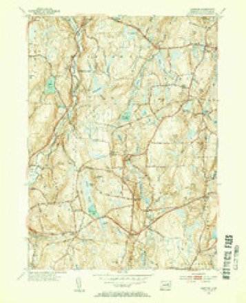
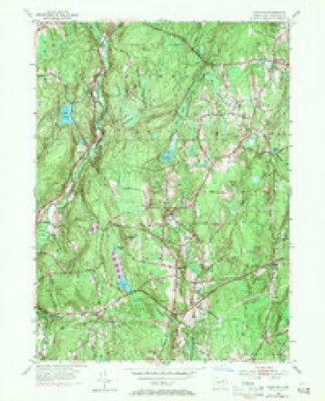
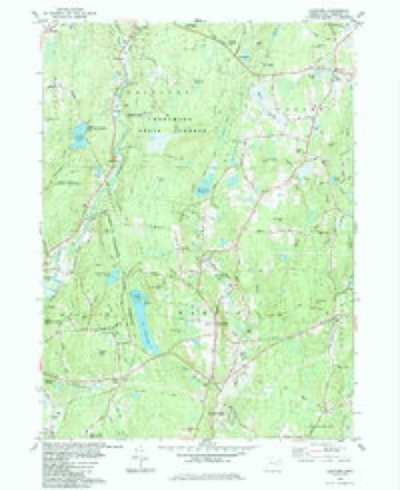
28 topographic sheets cover this place, the earliest surveyed in 1892 and the latest in 1994. It stands in Hampton town. It lies in ZIP code area 06247. It stands on Hampton Hill. The Survey maps it on the Hampton quadrangle.
On record in Hampton
Buildings and businesses the archive holds for this place. Each opens its own page, with the source record it came from.
On the National Register 1 record
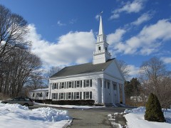 Hampton Hill Historic Districtlisted 1982
Topographic sheets covering this place
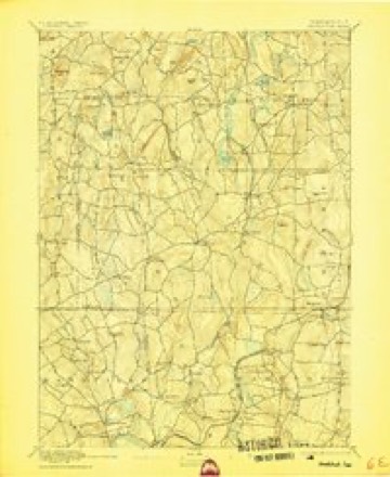
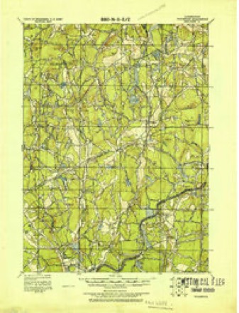
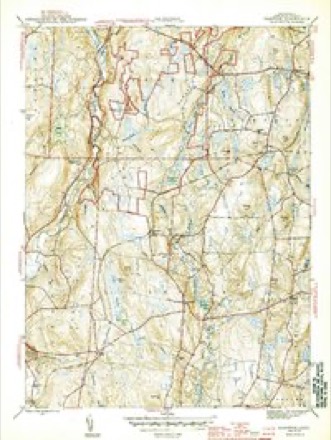
13 surveys from 28 printed sheetsMatched by testing this settlement's coordinate against the published boundary of every sheet in the United States Geological Survey's historical collection. Each opens the scanned sheet at the Survey.
- 1892 USGS Woodstock quadrangle1:62500, 6 printings
- 1921 USGS Woodstock quadrangle1:62500
- 1944 USGS Hampton quadrangle1:31680, 2 printings
- 1947 USGS Hartford quadrangle1:250000, 2 printings
- 1948 USGS Hartford quadrangle1:250000, 2 printings
- 1953 USGS Hampton quadrangle1:31680, 2 printings
- 1953 USGS Hampton quadrangle1:24000, 3 printings
- 1961 USGS Hartford quadrangle1:250000
- 1962 USGS Hartford quadrangle1:250000, 3 printings
- 1965 USGS Hartford quadrangle1:250000, 2 printings
- 1984 USGS Hampton quadrangle1:24000
- 1986 USGS Hartford quadrangle1:100000
- 1994 USGS Hartford quadrangle1:100000, 2 printings







In the county-history sources
17,178 words on this townshipHistory of Windham County, Connecticut .., published 1889 names this settlement in its chapter on Hampton Town. These are the passages that mention it, exactly as the scans read.
ONE of the beautiful towns of this beautiful rural countyis the town of Hampton. The territory covers about four miles in width from east to west and about seven miles in length from north to south. It lies in the southwest central part of the county, with Eastford and Pomfret on the north; Pomfret, Brooklyn and Canterbury on the east; Scotland on the south, and Chaplin on the west. The surface in most parts is hilly, in many places elevations rising in curious, majestic and commanding forms, giving ever changing scenes of quiet rural landscape to entrance the beholder who may for the first time be spell-bound upon their inviting summits. No village of any considerable magnitude exists in the town, but the central village on Hampton Hill makes up in the surpassing attractiveness of its scenery for any lack of busy life that it may show. The New York & New England railroad passes diagonally through the town, entering near the southwest corner and leaving near the northeast corner. Goshen, or Clark's Corners, and Hampton Station are the two depots on that line within this town. A line of high hills runs through nearly the central line of the town from north to south. Between and along the eastern foot of these hills Little river runs the length of the town, furnishing on its course water power for two or three mills, which are, however, mostly falling into disuse. Some farming is pursued in the town, but in a business point of view it maybe said that the town is declining. But it cannot be that a section of country possessing such loveliness of scenery and health inspiring properties can long remain in obscure decay. Already the tide has turned in the direction of the coming uses. Whilst the old methods of farming must decline, the new methods and the summer delights which are here offered to the overheated and weary citizen of the great centers of population and business, are laying the foundations of a new system of culture, improvement and profitable use.
Passage source: History of Windham County, Connecticut .., published 1889.
The territory of this town was once included in the bounds of Windham. The good quality of its soil and the cheapness of land in this neighborhood induced settlement in the early years of the history of this county. By a land distribution in 1712, Hampton Hill was opened to purchasers. Nathaniel Hovey bought land in this vicinity in 1713, and soon settled upon it. A hundred acres were soon after sold to Timothy Pearl, by one Jennings. The locality was known by the Indian name of Appaquage hill. Another lot, with land on Little river were purchased by John Durkee of Gloucester, in 1715. Other settlers on or near this hill were Abiel and Robert Holt of Andover ; Nathaniel Kingsbury of Massachusetts; Thomas Fuller, John Button, George Allen and others. The settlement here was then known as Windham Village. A few sons of old Windham families like Ebenezer Abbe and Stephen Howard, joined in the settlement, but the greater part of the settlers were new-comers from Massachusetts.
Passage source: History of Windham County, Connecticut .., published 1889.
In December, 1716, the town, in answer to a petition of the people, consented " that the northeast part be a parish," receiving one-fourth part of John Gates' legacy, and having two hundred pounds returned to them as rebate on what they had paid toward the new meeting house at Windham. The town then petitioned the general assembly to grant a charter to the new parish. This petition was dated May 9th, 1717. The petition was at once granted and the new society described in boundaries as follows : " Beginning at Canterbury line, to run westerly in the south line of Thomas Lasell's lot, and so in direct course to Merrick's brook, and then the said brook to be the line until it intersects the present road that leads from said town to the Burnt Cedar swamp, and from thence a straight line to the brook that empties itself into Nauchaug river about the middle of Six- Mile Meadow, at the place where Mansfield line crosseth the said brook." The new parish comprised all of Windham that lay north of this line. The name given to it was Canada parish, from the name of David Canada, who, it is believed, built the first house in this section and kept the first tavern. As his name does not appear on early records it is supposed that he died comparatively young. David and Isaac Canada, whose names appear among the inhabitants at a later date, were probably his sons.
Passage source: History of Windham County, Connecticut .., published 1889.
Machine-read from a century-old scan, so expect the errors a machine makes: misspelled names, dropped words, stray characters.
Read the whole chapter on Hampton Town - it names this place 47 more 47 times.
Fires near this place
66 since 1999Regional context, not property-specific evidence. The federal wildfire occurrence database lists 66 fires within 5 miles of Hampton between 1999 and 2020, burning about 118 acres in total. None started naturally. 3 were recorded as arson. Distance is straight-line from the map coordinates, so a fire counted here may appear on a neighbouring settlement's page as well.
| Reported cause | Fires |
|---|---|
| Missing data/not specified/undetermined | 44 |
| Debris and open burning | 10 |
| Recreation and ceremony | 4 |
| Arson/incendiarism | 3 |
| Smoking | 2 |
| Misuse of fire by a minor | 1 |
| Equipment and vehicle use | 1 |
| Power generation/transmission/distribution | 1 |
The most recent of them, most recent first, with the day each was reported and the service that recorded it.
| Date | Cause | Size | Reported by | Name on the report |
|---|---|---|---|---|
| 4 September 2005 | Debris and open burning | under an acre | Connecticut Division of Forestry | not named |
| 23 September 2020 | Missing data/not specified/undetermined | 1.0 acres | Connecticut Division of Forestry | 100 PUMPKIN HILL ROAD |
| 19 September 2020 | Missing data/not specified/undetermined | under an acre | Connecticut Division of Forestry | 100 PUMPKIN HILL ROAD |
| 16 September 2020 | Recreation and ceremony | under an acre | Connecticut Division of Forestry | 15 PUMPKIN HILL ROAD |
| 13 August 2020 | Missing data/not specified/undetermined | under an acre | Connecticut Division of Forestry | CHAPLIN ST./ PALMER RD. |
| 31 July 2020 | Missing data/not specified/undetermined | 1.0 acres | Connecticut Division of Forestry | 286 CHERRY HILL ROAD |
| 13 July 2016 | Missing data/not specified/undetermined | under an acre | Connecticut Division of Forestry | APPELL RD / HARTFORD RD, BROOKLYN CT |
| 9 June 2012 | Debris and open burning | under an acre | Connecticut Division of Forestry | HAMPTON |
Settlements close enough to share some of these fires:
Storms near this place
7 since 2000Regional context, not property-specific evidence. The National Weather Service names Hampton in 7 storm reports between 2000 and 2024: 3 thunderstorm wind, 3 flash flood, 1 hail. No death or injury is recorded in these reports. Each account below is quoted exactly as the forecast office filed it, from the NOAA Storm Events Database, and each date opens the federal record of that event.
| When | Event | Place named | Harm | What the report says |
|---|---|---|---|---|
| July 2022 | Thunderstorm Wind | Hampton | $800 | In Hampton, a tree and wires were down on Cherry Hill Road. |
| May 2024 | Hail | Hampton | - | In Hampton, quarter sized hail was reported. |
| September 2023 | Flash Flood | Hampton | - | In Hampton, Reiley Rd at South Bigelow Rd was closed due to half of it being washed out. |
| September 2023 | Flash Flood | Hampton | - | In Hampton, there were flooded basements on Main St and Brook St. |
| February 2016 | Thunderstorm Wind | Hampton | - | An amateur radio operator recorded a 59 mph wind gust on their home weather station in Hampton. No damage was reported. |
| June 2001 | Flash Flood | Hampton | - | no account filed |
| August 2000 | Thunderstorm Wind | Hampton | - | no account filed |
Nearest settlements
The eight closest, with where each one stands in the county. Distances are straight-line, computed from the Geographic Names Information System coordinates.
| Map | Place | Distance | Sheets |
|---|---|---|---|
| Hamptonville | 1.0 miles | 28 | |
| Rawson | 1.8 miles | 28 | |
| Clarks Corner | 2.3 miles | 28 | |
| Stetson Corner | 2.5 miles | 28 | |
| Natchaug (historical) | 3.6 miles | 28 | |
| Chaplin | 3.9 miles | 29 | |
| South Chaplin | 4.1 miles | 29 | |
| Elliotts | 4.1 miles | 28 |
Provenance
This settlement is recorded in the Geographic Names Information System as feature 207649. The sheet list is computed by point-in-boundary test against the United States Geological Survey's historical topographic inventory. Both are works of the United States government and carry no copyright under 17 U.S.C. 105.
Wildfire. Short, Karen C. 2022. Spatial wildfire occurrence data for the United States, 1992-2020 [FPA_FOD_20221014]. 6th Edition. Fort Collins, CO: Forest Service Research Data Archive. https://doi.org/10.2737/RDS-2013-0009.6 Collected with United States Government funding and usable without additional permissions or fees.
Storms. NOAA National Centers for Environmental Information, Storm Events Database https://www.ncei.noaa.gov/stormevents/ A work of the United States government, no copyright under 17 U.S.C. 105. Narratives are quoted verbatim from the National Weather Service report and are not edited or summarised.