 Block
Middlefield, Connecticut
36 topographic sheets cover this place, the earliest surveyed in 1893 and the latest in 1994. It stands in Middlefield town. It lies in ZIP code area 06455. It lies near Cherry Hill. The Survey maps it on the Middletown quadrangle.
On record in Middlefield
Buildings and businesses the archive holds for this place. Each opens its own page, with the source record it came from.
On the National Register 2 records
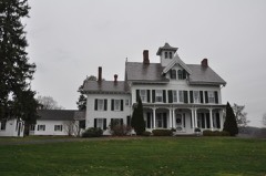 David Lyman II Houselisted 1986
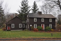 William Ward Jr. Houselisted 1988
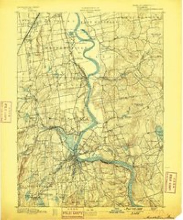
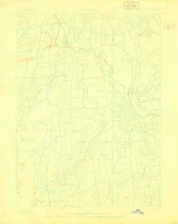
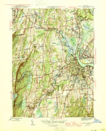
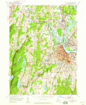
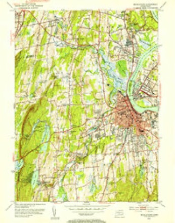
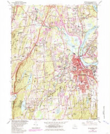
Topographic sheets covering this place
14 surveys from 36 printed sheetsMatched by testing this settlement's coordinate against the published boundary of every sheet in the United States Geological Survey's historical collection. Each opens the scanned sheet at the Survey.
- 1893 USGS Middletown quadrangle1:62500, 10 printings
- 1906 USGS Farmington quadrangle1:125000, 2 printings
- 1928 USGS Cromwell quadrangle1:24000
- 1945 USGS Middletown quadrangle1:31680, 2 printings
- 1947 USGS Hartford quadrangle1:250000, 2 printings
- 1948 USGS Hartford quadrangle1:250000, 2 printings
- 1952 USGS Middletown quadrangle1:24000
- 1952 USGS Middletown quadrangle1:31680, 2 printings
- 1961 USGS Hartford quadrangle1:250000
- 1962 USGS Hartford quadrangle1:250000, 3 printings
- 1965 USGS Hartford quadrangle1:250000, 2 printings
- 1965 USGS Middletown quadrangle1:24000, 5 printings
- 1986 USGS Hartford quadrangle1:100000
- 1994 USGS Hartford quadrangle1:100000, 2 printings








In the county-history sources
5,686 words on this townshipHistory of Middlesex County, Connecticut, with Biographical Sketches of Its Prominent Men, published 1884 names this settlement in its chapter on Middlefield Town. These are the passages that mention it, exactly as the scans read.
THE FIRST SETTLEMENT of Middlefield was not until some fifty years later than that of Middletown, or about 1700. The people of Middletown were undoubtedly familiar with her beautiful hills and valleys, her dense forests, her dashing waterfalls, and the abundent game and fish in her forests and streams. Yet the fertile fields of Middletown, her church, and schools, and society were such as to naturally prevent her sons from leaving their established homes at an early period.
Passage source: History of Middlesex County, Connecticut, with Biographical Sketches of Its Prominent Men, published 1884.
About the year named C1700) Benjamin Miller, with his wife and several small children, came from South Farms, Middletown, to settle in the wilds of Middlefield. He located on what might have been a partially open field, in the extreme south part of the town, not more than 100 rods from where is now its south line, and perhaps 50 rods south of the residence of the late Hiram Miller on South street.
Passage source: History of Middlesex County, Connecticut, with Biographical Sketches of Its Prominent Men, published 1884.
The same year Samuel Allen came from Middletown to a beautiful site in the extreme north of the town, and built a house known later as the Deacon Giles Miller place. As Benjamin Miller's place reached the south line of the town, so Allen's reached its north line. Though four rhiles from his former neighbors, he could undoubtedly see their houses, and they could see his. During this same year, Samuel Wetmore located in Middlefield, near the center, opposite where the Methodist church now stands, on Main street. Though these three men were within what is now the town of Middlefield, they were in no sense neighbors, for Allen was two miles north of Wetmore, and Miller one and a half miles south, with an unbridged river between, and no roads to connect with either.
Passage source: History of Middlesex County, Connecticut, with Biographical Sketches of Its Prominent Men, published 1884.
Machine-read from a century-old scan, so expect the errors a machine makes: misspelled names, dropped words, stray characters.
Read the whole chapter on Middlefield Town - it names this place 21 more 21 times.
Fires near this place
133 since 1992Regional context, not property-specific evidence. The federal wildfire occurrence database lists 133 fires within 5 miles of Middlefield between 1992 and 2020, burning about 142 acres in total. 2 started naturally. 5 were recorded as arson. Distance is straight-line from the map coordinates, so a fire counted here may appear on a neighbouring settlement's page as well.
| Reported cause | Fires |
|---|---|
| Missing data/not specified/undetermined | 59 |
| Debris and open burning | 30 |
| Recreation and ceremony | 18 |
| Smoking | 11 |
| Arson/incendiarism | 5 |
| Power generation/transmission/distribution | 2 |
| Misuse of fire by a minor | 2 |
| Natural | 2 |
| Equipment and vehicle use | 2 |
| Other causes | 1 |
| Fireworks | 1 |
The most recent of them, most recent first, with the day each was reported and the service that recorded it.
| Date | Cause | Size | Reported by | Name on the report |
|---|---|---|---|---|
| 20 September 2015 | Missing data/not specified/undetermined | under an acre | Connecticut Division of Forestry | not named |
| 17 September 2017 | Missing data/not specified/undetermined | under an acre | Connecticut Division of Forestry | 600 MERIDEN RD. |
| 8 August 2020 | Power generation/transmission/distribution | under an acre | Connecticut Division of Forestry | WALLINGFORD ROAD/PENT ROAD |
| 5 August 2015 | Debris and open burning | under an acre | Connecticut Division of Forestry | not named |
| 31 August 1995 | Recreation and ceremony | under an acre | Connecticut Division of Forestry | not named |
| 30 August 1995 | Recreation and ceremony | under an acre | Connecticut Division of Forestry | not named |
| 3 August 2015 | Other causes | under an acre | Connecticut Division of Forestry | not named |
| 29 August 2008 | Debris and open burning | under an acre | Connecticut Division of Forestry | not named |
Settlements close enough to share some of these fires:
Mines and quarries near this place
10 of 13 shownRegional context, not property-specific evidence. The federal mineral resources record lists 13 workings within 5 miles of Middlefield: 8 past producers, 4 producers, 1 unknown. 4 still produce. What was taken out: Stone, Crushed/Broken, Stone, Dimension, Flagstone, Clay. Distance is straight-line from the map coordinates, so a quarry counted here may appear on a neighbouring settlement's page as well.
| Where | Site | Commodity | Status | Recorded |
|---|---|---|---|---|
| Copper Mine | Copper | Past Producer | ||
| Stove Street Pit | Sand and Gravel, Construction | Past Producer | ||
| Brownstone Quarries | Flagstone | Past Producer | ||
| Sandstone Quarry | Flagstone | Past Producer | ||
| Yard Number 2 Pit | Clay | Past Producer | Sedimentary | |
| Yard Number 2 Pit and Plant | Clay | Producer | ||
| Brownstone Sandstone Quarries No. Ck-004 | Stone, Dimension | Past Producer | Sandstone | |
| Reed Gap Traprock Quarries | Stone, Dimension | Past Producer | ||
| Westfield Traprock Quarry | Stone, Dimension | Past Producer | ||
| New Haven Trap Rock Company Quarries | Stone, Crushed/Broken | Producer | Basalt |
Storms near this place
3 since 2008Regional context, not property-specific evidence. The National Weather Service names Middlefield in 3 storm reports between 2008 and 2010: 2 thunderstorm wind, 1 hail. No death or injury is recorded in these reports. Each account below is quoted exactly as the forecast office filed it, from the NOAA Storm Events Database, and each date opens the federal record of that event.
| When | Event | Place named | Harm | What the report says |
|---|---|---|---|---|
| May 2010 | Thunderstorm Wind | Middlefield | $1,000 | Downed wires were reported near Durham. |
| May 2010 | Thunderstorm Wind | Middlefield | $500 | Large tree branches were downed in the town of Middlefield. |
| August 2008 | Hail | Middlefield | - | Penny size hail was reported. |
Nearest settlements
The eight closest, with where each one stands in the county. Distances are straight-line, computed from the Geographic Names Information System coordinates.
| Map | Place | Distance | Sheets |
|---|---|---|---|
| Baileyville | 0.7 miles | 36 | |
| Beseck Lake | 1.2 miles | 36 | |
| Miramichi | 2.3 miles | 36 | |
| Long HIll Estates | 2.4 miles | 36 | |
| Long Hill | 2.9 miles | 36 | |
| Durham | 2.9 miles | 29 | |
| Bretton Heights | 3.3 miles | 36 | |
| Durham Center | 3.4 miles | 29 |
Provenance
This settlement is recorded in the Geographic Names Information System as feature 208874. The sheet list is computed by point-in-boundary test against the United States Geological Survey's historical topographic inventory. Both are works of the United States government and carry no copyright under 17 U.S.C. 105.
Wildfire. Short, Karen C. 2022. Spatial wildfire occurrence data for the United States, 1992-2020 [FPA_FOD_20221014]. 6th Edition. Fort Collins, CO: Forest Service Research Data Archive. https://doi.org/10.2737/RDS-2013-0009.6 Collected with United States Government funding and usable without additional permissions or fees.
Mines and quarries. USGS Mineral Resources Data System (MRDS) https://mrdata.usgs.gov/mrds/ A work of the United States government, no copyright under 17 U.S.C. 105.
Storms. NOAA National Centers for Environmental Information, Storm Events Database https://www.ncei.noaa.gov/stormevents/ A work of the United States government, no copyright under 17 U.S.C. 105. Narratives are quoted verbatim from the National Weather Service report and are not edited or summarised.