 Block
New Preston, Connecticut
35 topographic sheets cover this place, the earliest surveyed in 1892 and the latest in 1993. It stands in Washington town. It lies in ZIP code area 06777. It lies near Baldwin Hill. The Survey maps it on the New Preston quadrangle. 1,126 people lived here at the 2020 count.
On record in New Preston
Buildings and businesses the archive holds for this place. Each opens its own page, with the source record it came from.
On the National Register within a mile 1 record
The National Register names another town for these. They stand within one mile of this settlement's coordinate.
- Harry O. Erikson Pavilion Halllisted 2022 · 0.2 miles away
Population over time
2 figuresNew Preston fell from 1,182 to 1,126 between 2010 and 2020. These are the recorded population figures Wikidata holds for this place, reached through the Geographic Names Information System number this page is keyed on rather than by name, so they belong to this place and not to another of the same name. Most are census counts, but not all are: an early figure may be a founding or settlement estimate, and an estimate published within five years of a census is left out. The change column is computed, and is left blank where more than 20 years separate a figure from the one before it, because a gap that long is not a change between two counts.
| Year | People | Change |
|---|---|---|
| 2010 | 1,182 | |
| 2020 | 1,126 | -56 (-5%) |
Topographic sheets covering this place
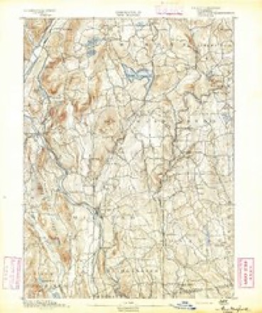
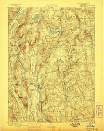
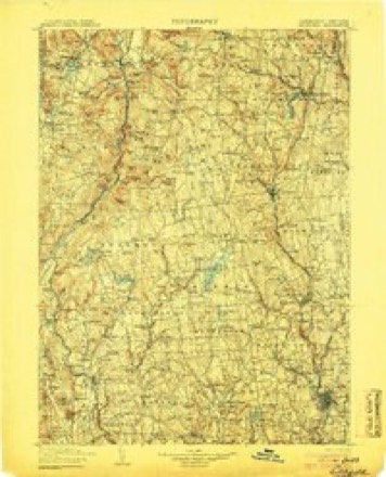
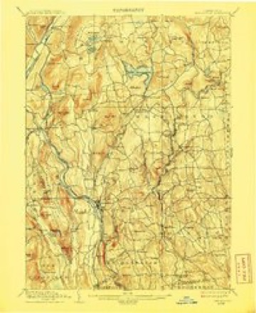
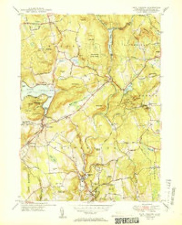
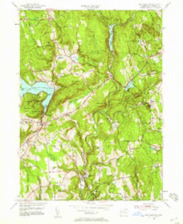
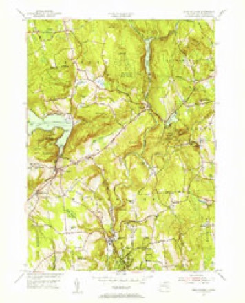
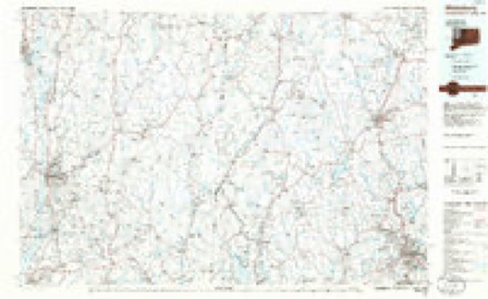
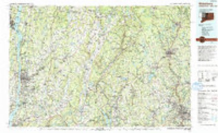
14 surveys from 35 printed sheetsMatched by testing this settlement's coordinate against the published boundary of every sheet in the United States Geological Survey's historical collection. Each opens the scanned sheet at the Survey.
- 1892 USGS New Milford quadrangle1:62500
- 1893 USGS New Milford quadrangle1:62500, 2 printings
- 1904 USGS Litchfield quadrangle1:125000, 3 printings
- 1904 USGS New Milford quadrangle1:62500, 8 printings
- 1947 USGS Hartford quadrangle1:250000, 2 printings
- 1948 USGS Hartford quadrangle1:250000, 2 printings
- 1950 USGS New Preston quadrangle1:31680, 2 printings
- 1955 USGS New Preston quadrangle1:24000, 6 printings
- 1955 USGS New Preston quadrangle1:31680
- 1961 USGS Hartford quadrangle1:250000
- 1962 USGS Hartford quadrangle1:250000, 3 printings
- 1965 USGS Hartford quadrangle1:250000, 2 printings
- 1985 USGS Waterbury quadrangle1:100000
- 1993 USGS Waterbury quadrangle1:100000





In the county-history sources
6,700 words on this townshipHistory of Litchfield County, Connecticut, published 1881 names this settlement in its chapter on Washington Town. These are the passages that mention it, exactly as the scans read.
The reservation of Werf)amaug, or Raumaug, was in the parish of New Preston, adjacent to the reservation of the Bantam Indians, over whom his jurisdiction extended. He was a true friend of the whites, and in his last years professed to have become a convert to Christianity. The Rev. Daniel Boardman, who was ordained as the minister at New Miltbrd in 1710, became much interested in him. In a letter to a friend he calls him "that distinguished .sachem, whose great abilities and eminent virtues, joined with his extensive dominion, rendered him the most potent prince of that or any other day in thi.? colony; and his name ought to be remembered by the faithful historian as much as thatof any crownctl head since his was laid in tlie dust." During Raumaug's last illness Mr. Boardman constantly attended him, and endeavored to confirm his mind in the vital truths of the Christian faith. It was a sad place for the dying chieftain, for a majority of his people, and even his wife, were bitter opponents of the while man's religion, and used all their inHiieiice against it. One day, when the good pastor was standing by the sachem's bedside, the latter asked him to pray, to which he assented. It liappened tliat there was a sick child in the village, and a pow-wow was in attendance, who had undertaken to cure it with liis superstitious rites. As soon as the clergyman commenced his prayer, Eaumaug's wife sent for the medicine-man, and ordered him to commence his exercises at the door of the lodge. The pow-wow at once set up a hideous shouting and howling, and Mr. Boardman prayed louder, so that the sick man might hear him above the uproar. Each raised his voice louder and louder as he went on, while the Indians gathered around, solicitous for the success of their prophet. The powwow was determined to tire out the minister ; and he, on the other hand, was quite as fully resolved not to be put to silence in the discharge of his duty by the blind worshiper of Satan. The invincible minister afterwards gave it as his belief that he prayed full three hours before he was permitted to come off conqueror. The pow-wow having completely exhausted himself with his efforts, gave one unearthly yell, and then, taking to his heels, never stopped till he was cooling himself up to his neck in the Housatonic. Raumaug died about the year 1735, or some fifteen years after the first settlement of Litchfield.
Passage source: History of Litchfield County, Connecticut, published 1881.
An unhappy division arose in New Preston in 1853-54, on account of a disagreement about the place of worship. The majority of the society and the minority of the church claim the original organization, though the Consociation decided that the majority of the church, who removed, are to be considered the original church, while the minority retain the records and communion service, and the society with them have the funds for the support of the gospel. The old house has since been extensively repaired.
Passage source: History of Litchfield County, Connecticut, published 1881.
The first services according to the rites of tlio Episcopal Church in New Preston were iiold by Rev. Thoniius Davies, A.M., in 1764. The church edifice was erected prior to tlie Revolution, but during that period was rarely used, and was finally abandoned.
Passage source: History of Litchfield County, Connecticut, published 1881.
Machine-read from a century-old scan, so expect the errors a machine makes: misspelled names, dropped words, stray characters.
Read the whole chapter on Washington Town - it names this place 3 more 3 times.
Fires near this place
84 since 1993Regional context, not property-specific evidence. The federal wildfire occurrence database lists 84 fires within 5 miles of New Preston between 1993 and 2020, burning about 69 acres in total. None started naturally. 4 were recorded as arson. Distance is straight-line from the map coordinates, so a fire counted here may appear on a neighbouring settlement's page as well.
| Reported cause | Fires |
|---|---|
| Missing data/not specified/undetermined | 69 |
| Debris and open burning | 7 |
| Arson/incendiarism | 4 |
| Other causes | 1 |
| Recreation and ceremony | 1 |
| Misuse of fire by a minor | 1 |
| Equipment and vehicle use | 1 |
The most recent of them, most recent first, with the day each was reported and the service that recorded it.
| Date | Cause | Size | Reported by | Name on the report |
|---|---|---|---|---|
| 3 September 2017 | Missing data/not specified/undetermined | 1.2 acres | Connecticut Division of Forestry | 30 GARLAND RD |
| 21 September 2016 | Missing data/not specified/undetermined | under an acre | Connecticut Division of Forestry | 26 TOMPKINS HILL ROAD WASHINGTON |
| 15 August 2016 | Missing data/not specified/undetermined | under an acre | Connecticut Division of Forestry | 200 CHURCH HILL ROAD WASHINGTON |
| 10 August 1993 | Arson/incendiarism | 2.0 acres | Connecticut Division of Forestry | not named |
| 8 July 2016 | Missing data/not specified/undetermined | under an acre | Connecticut Division of Forestry | WEST SHORE ROAD WASHINTON |
| 3 July 2017 | Missing data/not specified/undetermined | under an acre | Connecticut Division of Forestry | 278 NEW MILFORD TPK |
| 29 July 2016 | Missing data/not specified/undetermined | under an acre | Connecticut Division of Forestry | 146 WYKEHAM ROAD WASHINGTON |
| 27 July 2016 | Missing data/not specified/undetermined | under an acre | Connecticut Division of Forestry | TOWN HILL ROAD WARREN |
Settlements close enough to share some of these fires:
Mines and quarries near this place
10 of 17 shownRegional context, not property-specific evidence. The federal mineral resources record lists 17 workings within 5 miles of New Preston: 14 past producers, 2 occurrences, 1 producer. 1 still produces. What was taken out: Marble, Dimension, Iron, Stone, Dimension, Sand and Gravel, Construction. Distance is straight-line from the map coordinates, so a quarry counted here may appear on a neighbouring settlement's page as well.
| Where | Site | Commodity | Status | Recorded |
|---|---|---|---|---|
| Hornblende Gneiss Quarry No. Fj-020 | Stone | Past Producer | ||
| Pyrite Occurrence No. Fj-022 | Sulfur-Pyrite | Occurrence | Pyrite | |
| Roebling Mica, Feldspar, Beryl Mine | Mica, Feldspar, Gemstone | Past Producer | Muscovite, Plagioclase, Quartz | |
| Roebling Mica-Feldspar-Beryl Mine | Beryllium, Feldspar, Mica | Past Producer | ||
| Silver Mine | Silver | Past Producer | ||
| Coe Road Pit | Sand and Gravel, Construction | Past Producer | ||
| Drzal Pit | Sand and Gravel, Construction | Producer | ||
| Hornblende Gneiss Quarry | Stone, Dimension | Past Producer | ||
| Kent Mine | Iron | Past Producer | ||
| Magnetite Mine | Iron | Past Producer |
Storms near this place
12 since 1996Regional context, not property-specific evidence. The National Weather Service names New Preston in 12 storm reports between 1996 and 2025: 8 thunderstorm wind, 2 flash flood, 1 funnel cloud, 1 hail. No death or injury is recorded in these reports. Each account below is quoted exactly as the forecast office filed it, from the NOAA Storm Events Database, and each date opens the federal record of that event.
| When | Event | Place named | Harm | What the report says |
|---|---|---|---|---|
| June 2000 | Thunderstorm Wind | New Preston | $42,000 | no account filed |
| June 2001 | Flash Flood | New Preston | $10,000 | no account filed |
| May 1996 | Thunderstorm Wind | New Preston | $8,000 | no account filed |
| November 1996 | Flash Flood | New Preston | $5,000 | no account filed |
| May 1997 | Thunderstorm Wind | New Preston | $2,000 | During the late evening hours of May 19, an isolated severe thunderstorm downed several trees at New Preston in Litchfield County. |
| July 2025 | Thunderstorm Wind | New Preston | - | A social media report was received of trees down in New Preston. |
| July 2022 | Thunderstorm Wind | New Preston | - | A tree was downed in the Village of New Preston. |
| July 2018 | Thunderstorm Wind | New Preston | - | Trees and wires were downed on a car. |
| June 2011 | Thunderstorm Wind | New Preston | - | A tree was reported down across Route 202 in New Preston due to strong thunderstorm winds. |
| July 2009 | Hail | New Preston | - | Nickel to ping pong ball size hail was reported in New Preston during a thunderstorm. |
| July 2007 | Funnel Cloud | New Preston | - | A trained spotter reported a funnel cloud extending approximately three quarters of the way from the cloud base to the ground in New Preston during a thunderstorm. |
| July 2007 | Thunderstorm Wind | New Preston | - | A trained spotter in New Preston recorded a peak wind gust of 64 mph. |
Nearest settlements
The eight closest, with where each one stands in the county. Distances are straight-line, computed from the Geographic Names Information System coordinates.
| Map | Place | Distance | Sheets |
|---|---|---|---|
| Marble Dale | 1.2 miles | 35 | |
| Romford | 3.2 miles | 35 | |
| Woodville | 3.6 miles | 35 | |
| Washington | 3.7 miles | 35 | |
| Erickson Corner | 3.8 miles | 32 | |
| Upper Merryall | 3.8 miles | 32 | |
| Northville | 3.8 miles | 32 | |
| Lower Merryall | 3.9 miles | 32 |
Elsewhere
Matched on this settlement's Geographic Names Information System number rather than its name, so it cannot be a different place of the same name in another state.
| Wikipedia article on New Preston | An encyclopaedic summary. Its text is share-alike, so it is linked here rather than copied. |
| Wikidata item Q754779 | The structured record the population and elevation above come from. Public domain (CC0). |
Provenance
This settlement is recorded in the Geographic Names Information System as feature 209251. The sheet list is computed by point-in-boundary test against the United States Geological Survey's historical topographic inventory. Both are works of the United States government and carry no copyright under 17 U.S.C. 105.
Wildfire. Short, Karen C. 2022. Spatial wildfire occurrence data for the United States, 1992-2020 [FPA_FOD_20221014]. 6th Edition. Fort Collins, CO: Forest Service Research Data Archive. https://doi.org/10.2737/RDS-2013-0009.6 Collected with United States Government funding and usable without additional permissions or fees.
Mines and quarries. USGS Mineral Resources Data System (MRDS) https://mrdata.usgs.gov/mrds/ A work of the United States government, no copyright under 17 U.S.C. 105.
Storms. NOAA National Centers for Environmental Information, Storm Events Database https://www.ncei.noaa.gov/stormevents/ A work of the United States government, no copyright under 17 U.S.C. 105. Narratives are quoted verbatim from the National Weather Service report and are not edited or summarised.