 Block
Washington, Connecticut
35 topographic sheets cover this place, the earliest surveyed in 1892 and the latest in 1993. It stands in Washington town. It lies in ZIP code area 06793. It lies near Bell Hill. The Survey maps it on the New Preston quadrangle.
On record in Washington
Buildings and businesses the archive holds for this place. Each opens its own page, with the source record it came from.
On the National Register 7 records
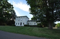 Calhoun-Ives Historic Districtlisted 1995
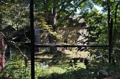 Homestead Hollister Thelisted 2010
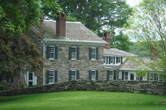 New Preston Hill Historic Districtlisted 1985
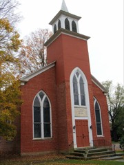 St. Andrew's Episcopal Churchlisted 1994
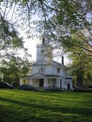 Washington Green Historic Districtlisted 1995
- Harry O. Erikson Pavilion Halllisted 2022
- Sunny Ridge Historic Districtlisted 1995
Topographic sheets covering this place
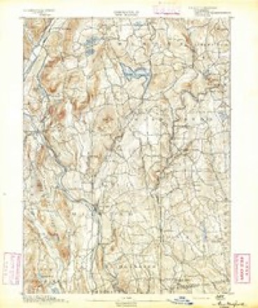
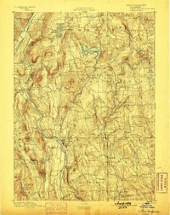
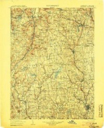
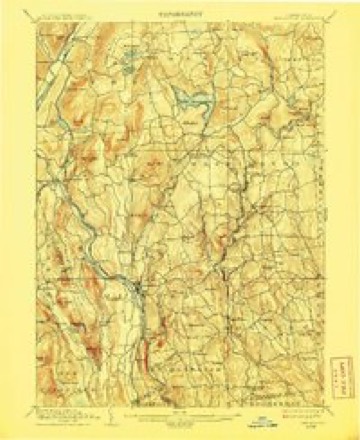
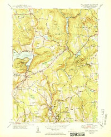
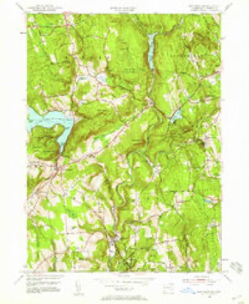
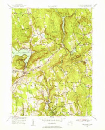
14 surveys from 35 printed sheetsMatched by testing this settlement's coordinate against the published boundary of every sheet in the United States Geological Survey's historical collection. Each opens the scanned sheet at the Survey.
- 1892 USGS New Milford quadrangle1:62500
- 1893 USGS New Milford quadrangle1:62500, 2 printings
- 1904 USGS Litchfield quadrangle1:125000, 3 printings
- 1904 USGS New Milford quadrangle1:62500, 8 printings
- 1947 USGS Hartford quadrangle1:250000, 2 printings
- 1948 USGS Hartford quadrangle1:250000, 2 printings
- 1950 USGS New Preston quadrangle1:31680, 2 printings
- 1955 USGS New Preston quadrangle1:24000, 6 printings
- 1955 USGS New Preston quadrangle1:31680
- 1961 USGS Hartford quadrangle1:250000
- 1962 USGS Hartford quadrangle1:250000, 3 printings
- 1965 USGS Hartford quadrangle1:250000, 2 printings
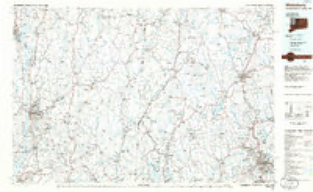
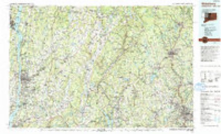
- 1985 USGS Waterbury quadrangle1:100000
- 1993 USGS Waterbury quadrangle1:100000





In the county-history sources
6,700 words on this townshipHistory of Litchfield County, Connecticut, published 1881 names this settlement in its chapter on Washington Town. These are the passages that mention it, exactly as the scans read.
The town of Washington is located south of the centre of the county, and is bounded ius follows: on the north by Kent, Warren, and Litchfield, on the east by Morris and Bethlehem, on the south by Wooilbury and Koxbury, and on the we.st by New Milford and Kent. Its surface is rolling and soil fertile.
Passage source: History of Litchfield County, Connecticut, published 1881.
The history of JIasonry in Washington must necessarily be divided into two periods, the first extending from the establishment of Rising Sun Lodge, No. 27, to the rise of that great persecution and humbug, Anti-Masonry ; the second period embracing the time from the restoration of Rising Sun Lodge to the present time. During the long interval between the suspension of the lodge and restoration of its charter, two full volumes of records were lost, and its jewels were purloined, so that all that remained to us who were active in its restoration were its third volume of
Passage source: History of Litchfield County, Connecticut, published 1881.
In the long past Washington was a centre of Masonic importance, for, in addition to Rising Sun Lodge, No. 27, there were also located here Fidelity Chapter, R. A. M., Tvrian Council, No. 13, R. and S. M., and Clinton Encampnient, No. 3, K. T. ; and at the head of these several Masonic bodies stood that Masonic veteran, Daniel B. Brinsmade, also Grand Master of Connecticut. Clinton Encampment was removed to South Norwalk, the Rising Sun Lodge was restored, while tlie Chapter and Council have ceased to exist.
Passage source: History of Litchfield County, Connecticut, published 1881.
Machine-read from a century-old scan, so expect the errors a machine makes: misspelled names, dropped words, stray characters.
Read the whole chapter on Washington Town - it names this place 15 more 15 times.
Fires near this place
75 since 1994Regional context, not property-specific evidence. The federal wildfire occurrence database lists 75 fires within 5 miles of Washington between 1994 and 2020, burning about 71 acres in total. None started naturally. 2 were recorded as arson. Distance is straight-line from the map coordinates, so a fire counted here may appear on a neighbouring settlement's page as well.
| Reported cause | Fires |
|---|---|
| Missing data/not specified/undetermined | 63 |
| Debris and open burning | 5 |
| Other causes | 2 |
| Arson/incendiarism | 2 |
| Recreation and ceremony | 1 |
| Misuse of fire by a minor | 1 |
| Equipment and vehicle use | 1 |
The most recent of them, most recent first, with the day each was reported and the service that recorded it.
| Date | Cause | Size | Reported by | Name on the report |
|---|---|---|---|---|
| 3 September 2017 | Missing data/not specified/undetermined | 1.2 acres | Connecticut Division of Forestry | 30 GARLAND RD |
| 28 September 2017 | Missing data/not specified/undetermined | under an acre | Connecticut Division of Forestry | HOLMES RD & WASHINGTON-WOODBURY RD |
| 21 September 2016 | Missing data/not specified/undetermined | under an acre | Connecticut Division of Forestry | 26 TOMPKINS HILL ROAD WASHINGTON |
| 15 August 2016 | Missing data/not specified/undetermined | under an acre | Connecticut Division of Forestry | 200 CHURCH HILL ROAD WASHINGTON |
| 3 July 2017 | Missing data/not specified/undetermined | under an acre | Connecticut Division of Forestry | 278 NEW MILFORD TPK |
| 29 July 2016 | Missing data/not specified/undetermined | under an acre | Connecticut Division of Forestry | 146 WYKEHAM ROAD WASHINGTON |
| 21 July 2007 | Missing data/not specified/undetermined | under an acre | Connecticut Division of Forestry | not named |
| 30 June 2012 | Missing data/not specified/undetermined | under an acre | Connecticut Division of Forestry | WASHINGTON |
Settlements close enough to share some of these fires:
Mines and quarries near this place
10 of 24 shownRegional context, not property-specific evidence. The federal mineral resources record lists 24 workings within 5 miles of Washington: 19 past producers, 3 occurrences, 2 producers. 2 still produce. What was taken out: Stone, Dimension, Iron, Marble, Dimension, Sand and Gravel, Construction. Distance is straight-line from the map coordinates, so a quarry counted here may appear on a neighbouring settlement's page as well.
| Where | Site | Commodity | Status | Recorded |
|---|---|---|---|---|
| Judds Bridge Kyanite Prospects | Kyanite | Occurrence | Metamorphic | |
| Pyrite Occurrence No. Fj-022 | Sulfur-Pyrite | Occurrence | Pyrite | |
| Rockside Granite Gneiss Quarry | Granite | Past Producer | ||
| Roxbury Iron Mine | Iron, Copper, Silver, Lead | Past Producer | Vein Quartz In Fault Zone | |
| Roxbury Iron Mine | Iron, Silver | Past Producer | Vein | |
| Roxbury Mine | Silica, Zinc | Past Producer | ||
| Hornblende Gneiss Quarry No. Fj-020 | Stone | Past Producer | ||
| Mica Quartzite Or Hornblende Gneiss Quarry No. Fj-023 | Stone | Past Producer | ||
| Bethmor Mine | Sand and Gravel, Construction | Producer | ||
| Coe Road Pit | Sand and Gravel, Construction | Past Producer |
Storms near this place
14 since 1996Regional context, not property-specific evidence. The National Weather Service names Washington in 14 storm reports between 1996 and 2024: 7 thunderstorm wind, 4 flash flood, 2 tornado, 1 hail. The reports record 1 injury. Each account below is quoted exactly as the forecast office filed it, from the NOAA Storm Events Database, and each date opens the federal record of that event.
| When | Event | Place named | Harm | What the report says |
|---|---|---|---|---|
| June 2001 | Tornado (F1) | Washington | 1 hurt, $150,000 | no account filed |
| June 2024 | Flash Flood | Washington | $25,000 | Route 199 or Roxbury Road was washed out in Washington. |
| July 1998 | Thunderstorm Wind | Washington | $9,000 | A cold front moving east from New York State touched off a severe thunderstorm in Litchfield County. Wind blew down trees in in the town of Washington. |
| June 1998 | Thunderstorm Wind | Washington | $8,000 | no account filed |
| September 2023 | Flash Flood | Washington | $5,000 | A portion of Tunnel Road was washed out due to flash flooding near Roxbury. |
| October 1996 | Flash Flood | Washington | $5,000 | no account filed |
| May 1998 | Tornado (F1) | Washington | $4,000 | no account filed |
| September 2023 | Flash Flood | Washington | - | Several inches of water was reported over Route 199. |
| August 2020 | Thunderstorm Wind | Washington | - | Trees were downed on Painter Ridge Road. |
| July 2007 | Thunderstorm Wind | Washington | - | Trees and wires were reported down in Washington due to strong thunderstorm winds. |
| July 2006 | Thunderstorm Wind | Washington | - | An amateur radio operator reported that between 330 PM EST and 345 PM EST, numerous tree limbs up to 10 inches in diameter were blown down in Washington, closing Route 199. |
| May 2005 | Hail | Washington | - | no account filed |
| September 2003 | Thunderstorm Wind | Washington | - | no account filed |
| May 2000 | Thunderstorm Wind | Washington | - | no account filed |
Nearest settlements
The eight closest, with where each one stands in the county. Distances are straight-line, computed from the Geographic Names Information System coordinates.
| Map | Place | Distance | Sheets |
|---|---|---|---|
| Horse Heaven | 1.7 miles | 33 | |
| Romford | 3.2 miles | 35 | |
| New Preston | 3.7 miles | 35 | |
| Marble Dale | 3.8 miles | 35 | |
| Northville | 4.4 miles | 32 | |
| Hickory Haven | 4.5 miles | 32 | |
| Gulls Hollow | 4.6 miles | 34 | |
| West Morris | 4.7 miles | 35 |
Provenance
This settlement is recorded in the Geographic Names Information System as feature 212585. The sheet list is computed by point-in-boundary test against the United States Geological Survey's historical topographic inventory. Both are works of the United States government and carry no copyright under 17 U.S.C. 105.
Wildfire. Short, Karen C. 2022. Spatial wildfire occurrence data for the United States, 1992-2020 [FPA_FOD_20221014]. 6th Edition. Fort Collins, CO: Forest Service Research Data Archive. https://doi.org/10.2737/RDS-2013-0009.6 Collected with United States Government funding and usable without additional permissions or fees.
Mines and quarries. USGS Mineral Resources Data System (MRDS) https://mrdata.usgs.gov/mrds/ A work of the United States government, no copyright under 17 U.S.C. 105.
Storms. NOAA National Centers for Environmental Information, Storm Events Database https://www.ncei.noaa.gov/stormevents/ A work of the United States government, no copyright under 17 U.S.C. 105. Narratives are quoted verbatim from the National Weather Service report and are not edited or summarised.