 Block
North Greenwich, Connecticut
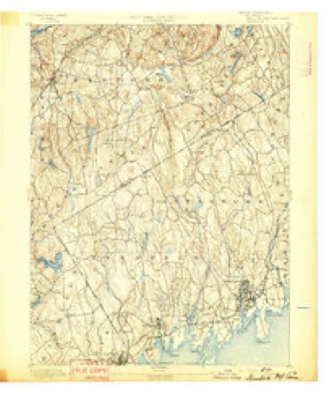
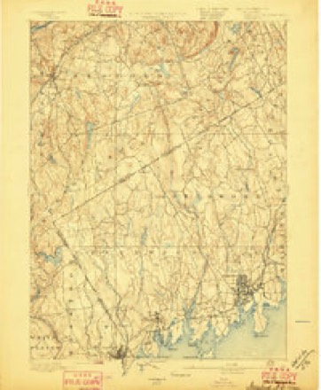
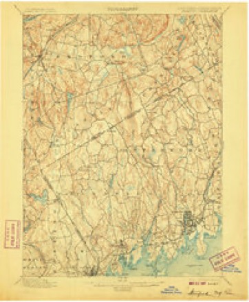
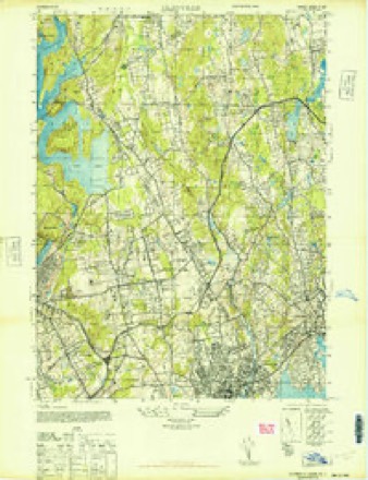
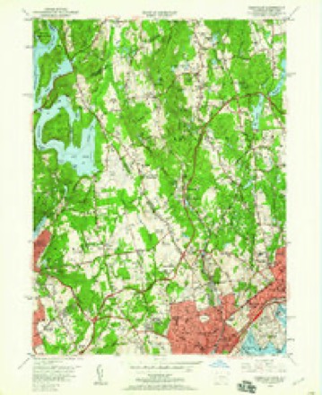
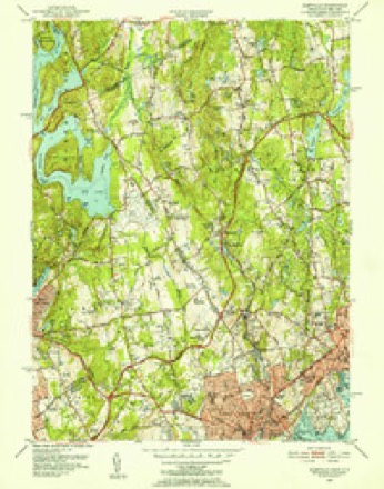
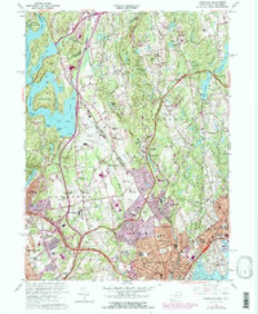
36 topographic sheets cover this place, the earliest surveyed in 1892 and the latest in 1986. It stands in Greenwich town. It lies in ZIP code area 06831. It lies near Quaker Ridge. The Survey maps it on the Glenville quadrangle.
Topographic sheets covering this place
13 surveys from 36 printed sheetsMatched by testing this settlement's coordinate against the published boundary of every sheet in the United States Geological Survey's historical collection. Each opens the scanned sheet at the Survey.
- 1892 USGS Stamford quadrangle1:62500
- 1893 USGS Stamford quadrangle1:62500
- 1899 USGS Stamford quadrangle1:62500, 13 printings
- 1944 USGS Glenville quadrangle1:24000
- 1947 USGS Hartford quadrangle1:250000, 2 printings
- 1948 USGS Hartford quadrangle1:250000, 2 printings
- 1951 USGS Glenville quadrangle1:24000, 2 printings
- 1951 USGS Glenville quadrangle1:31680
- 1960 USGS Glenville quadrangle1:24000, 4 printings
- 1961 USGS Hartford quadrangle1:250000
- 1962 USGS Hartford quadrangle1:250000, 3 printings
- 1965 USGS Hartford quadrangle1:250000, 2 printings
- 1986 USGS Bridgeport quadrangle1:100000, 3 printings






What happened here
An account from the chapter on Greenwich town. The inset identifies its exact source book and publication year.
Green
For five or six years after the first settlement (1640 -46) the people of Greenwich had much trouble with their Indian neighbors, the indirect cause being rum, - "cussed fire-water," as the savage-! called it, - bought of the Dutch at New York. To begin with (1642), some Dutch traders, a drunken Indian, cheating in a bargain for furs, and a murdered Indian, all near New York.
In the county-history sources
24,517 words on this townshipHistory of Fairfield County, Connecticut : with Illustrations and Biographical Sketches of Its Prominent Men and Pioneers, published 1881 names this settlement in its chapter on Greenwich Town. These are the passages that mention it, exactly as the scans read.
Silas Harvey Mead was one of the active ones in the formation of the North Greenwich Church, and was chosen deacon the day the church was organized. He held his office and performed all the duties of it till his death, after a few days' illness, Dec. 14, 1878, aged eighty-two, having been in office fifty-one years lacking eleven days. He was a man of wisdom, perseverance, and success in promoting the interests of the church, and was a model for men of that office in prayerfulness, self-sacrifice, and diligence. The land - twelve acres - on which the church building and parsonage stand was his gift, and the. position of the church early taken against slavery and intemperance was largely due to him.
Passage source: History of Fairfield County, Connecticut : with Illustrations and Biographical Sketches of Its Prominent Men and Pioneers, published 1881.
Silas Mead, " the second," was born in 1748 and died in 1813. His wife was Sarah Mead, a daughter of Deliverance Mead, who was also the sixth son c the second Ebenezer Mead. Their children were a follows : Sarah, Silas H., and Francis, who die' young. Mr. Mead lived on the "old home" farm and was a substantial citizen of North Greenwich Conn. He was killed by being thrown from a wagon near his home; his wife died in 1812.
Passage source: History of Fairfield County, Connecticut : with Illustrations and Biographical Sketches of Its Prominent Men and Pioneers, published 1881.
Silas H. Mead was born Dec. 12, 1796, at North Greenwich, Conn. ; he was a large farmer and a leading man in the community. In politics he was an uncompromising Abolitionist, and by voice and vote did. all he could to educate the people of his community to the idea of luiman liberty. He united with the Second Congregational Church at Greenwich in 1826, and immediately took a deep interest in religious matters.
Passage source: History of Fairfield County, Connecticut : with Illustrations and Biographical Sketches of Its Prominent Men and Pioneers, published 1881.
Machine-read from a century-old scan, so expect the errors a machine makes: misspelled names, dropped words, stray characters.
Read the whole chapter on Greenwich Town - it names this place 5 more 5 times.
Fires near this place
204 since 2000Regional context, not property-specific evidence. The federal wildfire occurrence database lists 204 fires within 5 miles of North Greenwich between 2000 and 2020, burning about 175 acres in total. 23 started naturally. 23 were recorded as arson. Distance is straight-line from the map coordinates, so a fire counted here may appear on a neighbouring settlement's page as well.
| Reported cause | Fires |
|---|---|
| Missing data/not specified/undetermined | 90 |
| Arson/incendiarism | 23 |
| Natural | 23 |
| Recreation and ceremony | 20 |
| Smoking | 16 |
| Debris and open burning | 10 |
| Power generation/transmission/distribution | 10 |
| Equipment and vehicle use | 7 |
| Misuse of fire by a minor | 5 |
The most recent of them, most recent first, with the day each was reported and the service that recorded it.
| Date | Cause | Size | Reported by | Name on the report |
|---|---|---|---|---|
| 8 September 2010 | Debris and open burning | under an acre | Fire Department of New York | not named |
| 5 September 2014 | Missing data/not specified/undetermined | under an acre | Fire Department of New York | not named |
| 5 September 2008 | Power generation/transmission/distribution | under an acre | Fire Department of New York | not named |
| 3 September 2015 | Arson/incendiarism | under an acre | Fire Department of New York | NA |
| 3 September 2008 | Debris and open burning | under an acre | Fire Department of New York | not named |
| 25 September 2015 | Misuse of fire by a minor | under an acre | Fire Department of New York | N/A |
| 22 September 2016 | Recreation and ceremony | under an acre | Fire Department of New York | N/A |
| 21 September 2016 | Recreation and ceremony | under an acre | Fire Department of New York | N/A |
Settlements close enough to share some of these fires:
Mines and quarries near this place
3 within 5 milesRegional context, not property-specific evidence. The federal mineral resources record lists 3 workings within 5 miles of North Greenwich: 2 past producers, 1 producer. 1 still produces. What was taken out: Granite, Peat. Distance is straight-line from the map coordinates, so a quarry counted here may appear on a neighbouring settlement's page as well.
| Where | Site | Commodity | Status | Recorded |
|---|---|---|---|---|
| Armonk Plant | Peat | Past Producer | Peat | |
| Lake Street Granite Mine | Granite | Producer | ||
| Lake Street Granite Quarry | Granite | Past Producer | Granite |
Storms near this place
3 since 1998Regional context, not property-specific evidence. The National Weather Service names North Greenwich in 3 storm reports between 1998 and 2021: 1 thunderstorm wind, 1 tornado, 1 flash flood. No death or injury is recorded in these reports. Each account below is quoted exactly as the forecast office filed it, from the NOAA Storm Events Database, and each date opens the federal record of that event.
| When | Event | Place named | Harm | What the report says |
|---|---|---|---|---|
| September 2021 | Flash Flood | North Greenwich | $5,110,000 | Heavy rain and flash flooding resulted in uninsured damages of $5,112,636 across Fairfield County. |
| July 2006 | Tornado (F1) | North Greenwich | $2,000,000 | no account filed |
| May 1998 | Thunderstorm Wind | North Greenwich | - | no account filed |
Nearest settlements
The eight closest, with where each one stands in the county. Distances are straight-line, computed from the Geographic Names Information System coordinates.
| Map | Place | Distance | Sheets |
|---|---|---|---|
| Riversville | 2.5 miles | 36 | |
| Pine Hill | 3.1 miles | 36 | |
| Stanwich | 4.1 miles | 31 | |
| Banksville | 4.1 miles | 35 | |
| Glenville | 4.5 miles | 36 | |
| Rock Ridge | 4.8 miles | 36 | |
| Pemberwick | 5.1 miles | 36 | |
| Riverbank | 5.5 miles | 31 |
Provenance
This settlement is recorded in the Geographic Names Information System as feature 209355. The sheet list is computed by point-in-boundary test against the United States Geological Survey's historical topographic inventory. Both are works of the United States government and carry no copyright under 17 U.S.C. 105.
Wildfire. Short, Karen C. 2022. Spatial wildfire occurrence data for the United States, 1992-2020 [FPA_FOD_20221014]. 6th Edition. Fort Collins, CO: Forest Service Research Data Archive. https://doi.org/10.2737/RDS-2013-0009.6 Collected with United States Government funding and usable without additional permissions or fees.
Mines and quarries. USGS Mineral Resources Data System (MRDS) https://mrdata.usgs.gov/mrds/ A work of the United States government, no copyright under 17 U.S.C. 105.
Storms. NOAA National Centers for Environmental Information, Storm Events Database https://www.ncei.noaa.gov/stormevents/ A work of the United States government, no copyright under 17 U.S.C. 105. Narratives are quoted verbatim from the National Weather Service report and are not edited or summarised.