 Block
Stanwich, Connecticut
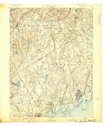
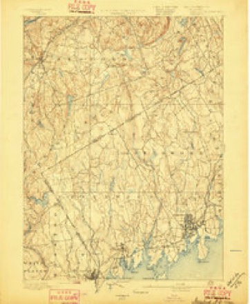
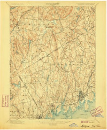
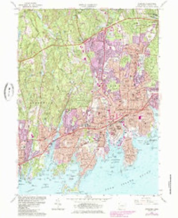
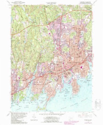
31 topographic sheets cover this place, the earliest surveyed in 1892 and the latest in 1987. It stands in Greenwich town. It lies in ZIP code area 06831. It stands on Grays Pond Brook. The Survey maps it on the Stamford quadrangle.
Topographic sheets covering this place
11 surveys from 31 printed sheetsMatched by testing this settlement's coordinate against the published boundary of every sheet in the United States Geological Survey's historical collection. Each opens the scanned sheet at the Survey.
- 1892 USGS Stamford quadrangle1:62500
- 1893 USGS Stamford quadrangle1:62500
- 1899 USGS Stamford quadrangle1:62500, 13 printings
- 1947 USGS Hartford quadrangle1:250000, 2 printings
- 1948 USGS Hartford quadrangle1:250000, 2 printings
- 1960 USGS Stamford quadrangle1:24000, 2 printings
- 1961 USGS Hartford quadrangle1:250000
- 1962 USGS Hartford quadrangle1:250000, 3 printings
- 1965 USGS Hartford quadrangle1:250000, 2 printings
- 1986 USGS Bridgeport quadrangle1:100000, 3 printings
- 1987 USGS Stamford quadrangle1:24000






What happened here
An account from the chapter on Greenwich town. The inset identifies its exact source book and publication year.
Green
For five or six years after the first settlement (1640 -46) the people of Greenwich had much trouble with their Indian neighbors, the indirect cause being rum, - "cussed fire-water," as the savage-! called it, - bought of the Dutch at New York. To begin with (1642), some Dutch traders, a drunken Indian, cheating in a bargain for furs, and a murdered Indian, all near New York.
In the county-history sources
24,517 words on this townshipHistory of Fairfield County, Connecticut : with Illustrations and Biographical Sketches of Its Prominent Men and Pioneers, published 1881 names this settlement in its chapter on Greenwich Town. These are the passages that mention it, exactly as the scans read.
Col. Holdridge, who was in command of the Continental soldiers, retreated in an unsoldierlike manner to Stanwich, while Putnam intended that he should retire only a short distance. From the account by the Americans of this oflicer, who was a Hartford man, he was totally unfit to be a soldier at all, much less an officer.
Passage source: History of Fairfield County, Connecticut : with Illustrations and Biographical Sketches of Its Prominent Men and Pioneers, published 1881.
The following is a list of the pastors : Rufiis C. Putman, Benjamin Bedford; 1847, Rev. Jacob C. Washburn, assisted by Rev. B. M. Adams ; 1848-49, Rev. Charles Gorse and William F. Smith ; 1850, Rev. William McKendree Bangs and J. A. Selleck ; 1851, the charge embraced Greenwich and Coscob, Rev. J. A. Selleck, preacher ; 1852-53, Rev. George L. Fuller; 1854, Rev. Philip L. Hoyt; 1855, Rev. George Dunbar; 1856-57, Rev. S. Howland; 1858, Rev. E. Oldrin ; 1859-60, Rev. George Hollis ; 1861 -62, Rev. George Stillman. In 1863 it was connected with Round Hill and Stanwich, and supplied by Rev. A. McAllister ; in 1864 it was associated with Round Hill only, and Rev. A. McAllister returned to this charge ; 1865, Rev. Moses Lyon ; in 1866, Greenwich was separated from the other charges, and Rev. William R. Webster was the preacher; 1867-70, William F. Hatfield ; 1870-73, Arza Hill ; 1873-75, Charles C. Glover; 1875-76, J. W. Beach, D.D. ; 1876-77, Richard Rust; 1877-80, George Taylor; 1880, CP. Corner. The present trustees are George Selleck, John H. Ferris, John H. Ray, Hanford Lockwood, Thomas P. Hunt, and Joseph G. Merritt.
Passage source: History of Fairfield County, Connecticut : with Illustrations and Biographical Sketches of Its Prominent Men and Pioneers, published 1881.
The Methodist Society at Mianus is quite young in its separate existence. The circuit to which it belonged was for many years called " The Greenwich, Round Hill, Roxbury, Stanwich, and Mianus Circuit." Not until June, 1871, was Mianus recognized as an independent charge. The society prior to 1878 met in the old neglected structure near the junction of the Stanwich and Stamford roads. The church was gathering her means to build, so the old building suffered neglect.
Passage source: History of Fairfield County, Connecticut : with Illustrations and Biographical Sketches of Its Prominent Men and Pioneers, published 1881.
Machine-read from a century-old scan, so expect the errors a machine makes: misspelled names, dropped words, stray characters.
Fires near this place
98 since 2001Regional context, not property-specific evidence. The federal wildfire occurrence database lists 98 fires within 5 miles of Stanwich between 2001 and 2020, burning about 45 acres in total. 12 started naturally. 14 were recorded as arson. Distance is straight-line from the map coordinates, so a fire counted here may appear on a neighbouring settlement's page as well.
| Reported cause | Fires |
|---|---|
| Missing data/not specified/undetermined | 46 |
| Arson/incendiarism | 14 |
| Natural | 12 |
| Equipment and vehicle use | 9 |
| Smoking | 6 |
| Power generation/transmission/distribution | 5 |
| Debris and open burning | 4 |
| Recreation and ceremony | 2 |
The most recent of them, most recent first, with the day each was reported and the service that recorded it.
| Date | Cause | Size | Reported by | Name on the report |
|---|---|---|---|---|
| 5 September 2014 | Missing data/not specified/undetermined | under an acre | Fire Department of New York | not named |
| 5 September 2008 | Power generation/transmission/distribution | under an acre | Fire Department of New York | not named |
| 3 September 2015 | Arson/incendiarism | under an acre | Fire Department of New York | NA |
| 22 September 2016 | Recreation and ceremony | under an acre | Fire Department of New York | N/A |
| 21 September 2016 | Recreation and ceremony | under an acre | Fire Department of New York | N/A |
| 13 September 2011 | Debris and open burning | under an acre | Fire Department of New York | not named |
| 10 September 2014 | Equipment and vehicle use | under an acre | Fire Department of New York | not named |
| 9 August 2016 | Missing data/not specified/undetermined | 1.0 acres | Connecticut Division of Forestry | 10 BARN HILL ROAD LONG RIDGE CT |
Settlements close enough to share some of these fires:
Mines and quarries near this place
2 within 5 milesRegional context, not property-specific evidence. The federal mineral resources record lists 2 workings within 5 miles of Stanwich: 2 past producers. None of them still produces. What was taken out: Peat, Feldspar, Quartz. Distance is straight-line from the map coordinates, so a quarry counted here may appear on a neighbouring settlement's page as well.
| Where | Site | Commodity | Status | Recorded |
|---|---|---|---|---|
| Armonk Plant | Peat | Past Producer | Peat | |
| Hobby Quarries | Feldspar, Quartz | Past Producer |
Storms near this place
3 since 2013Regional context, not property-specific evidence. The National Weather Service names Stanwich in 3 storm reports between 2013 and 2019: 1 flash flood, 1 tornado, 1 thunderstorm wind. No death or injury is recorded in these reports. Each account below is quoted exactly as the forecast office filed it, from the NOAA Storm Events Database, and each date opens the federal record of that event.
| When | Event | Place named | Harm | What the report says |
|---|---|---|---|---|
| July 2019 | Thunderstorm Wind | Stanwich | $1,000 | Tree limb down at the intersection of Farms Road and Riverbank Road. |
| July 2013 | Flash Flood | Stanwich | - | The intersection of Taconic Rd. and Stanwich Rd. in North Stamford was closed due to flooding. |
| July 2013 | Tornado (EF0) | Stanwich | - | The National Weather Service in New York, NY confirmed an EF0 tornado with maximum winds of 80 mph in the towns of Greenwich and Stamford in Fairfield County Connecticut. The tornado touched down in the town of Greenwich on North Street just north of the Merritt Parkway. It continued east-northeast into the town of Stamford and lifted on Janes Lane approximately a half mile west of Scofieldtown Road.||Extensive tree damage was observed along the tornado path starting on Taconic Road and continuing onto Skyridge Road. The most significant tree damage was observed just south of the intersection of Stag Lane and Stanwich Road, where numerous large trees and power lines were downed. Tree damage continued on Carrington Drive and at the Mead House Farm. It reached its maximum width of 150 yards along River Bank Rd. immediately east of Newman Mills Park. The only structural damage was also reported at this point with the door to a barn being blown off. |The tornado started to weaken as it moved into the town of Stamford just south of Web Hills Road and Lynam Road. Trees were last noted down at the far western end of Janes Lane.|||No fatalities or injuries were reported. |
Nearest settlements
The eight closest, with where each one stands in the county. Distances are straight-line, computed from the Geographic Names Information System coordinates.
| Map | Place | Distance | Sheets |
|---|---|---|---|
| Banksville | 1.8 miles | 35 | |
| Riverbank | 2.0 miles | 31 | |
| Hunting Ridge | 2.5 miles | 31 | |
| Pine Hill | 2.8 miles | 36 | |
| Roxbury | 3.8 miles | 31 | |
| North Mianus | 3.9 miles | 31 | |
| Turn of River | 3.9 miles | 31 | |
| North Greenwich | 4.1 miles | 36 |
Provenance
This settlement is recorded in the Geographic Names Information System as feature 211141. The sheet list is computed by point-in-boundary test against the United States Geological Survey's historical topographic inventory. Both are works of the United States government and carry no copyright under 17 U.S.C. 105.
Wildfire. Short, Karen C. 2022. Spatial wildfire occurrence data for the United States, 1992-2020 [FPA_FOD_20221014]. 6th Edition. Fort Collins, CO: Forest Service Research Data Archive. https://doi.org/10.2737/RDS-2013-0009.6 Collected with United States Government funding and usable without additional permissions or fees.
Mines and quarries. USGS Mineral Resources Data System (MRDS) https://mrdata.usgs.gov/mrds/ A work of the United States government, no copyright under 17 U.S.C. 105.
Storms. NOAA National Centers for Environmental Information, Storm Events Database https://www.ncei.noaa.gov/stormevents/ A work of the United States government, no copyright under 17 U.S.C. 105. Narratives are quoted verbatim from the National Weather Service report and are not edited or summarised.