 Block
North Windham, Connecticut
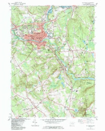
30 topographic sheets cover this place, the earliest surveyed in 1892 and the latest in 1994. It stands in Windham town. It lies in ZIP code area 06256. It stands on Ames Brook. The Survey maps it on the Willimantic quadrangle. It stands 269 feet above sea level.
Topographic sheets covering this place
12 surveys from 30 printed sheetsMatched by testing this settlement's coordinate against the published boundary of every sheet in the United States Geological Survey's historical collection. Each opens the scanned sheet at the Survey.
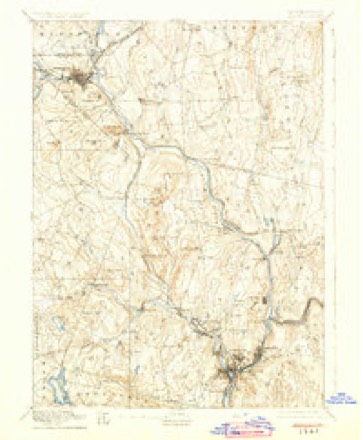
- 1892 USGS Norwich quadrangle1:62500, 8 printings
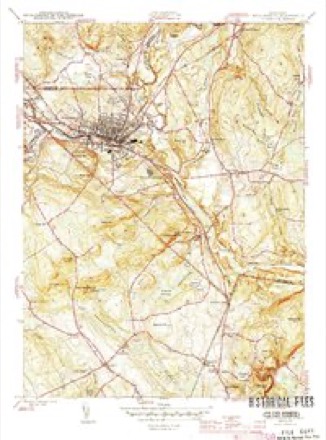
- 1945 USGS Willimantic quadrangle1:31680, 3 printings
- 1947 USGS Hartford quadrangle1:250000, 2 printings
- 1948 USGS Hartford quadrangle1:250000, 2 printings
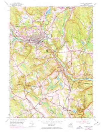
- 1953 USGS Willimantic quadrangle1:24000, 3 printings
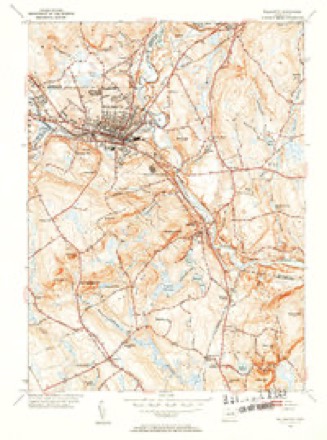
- 1953 USGS Willimantic quadrangle1:31680, 2 printings
- 1961 USGS Hartford quadrangle1:250000
- 1962 USGS Hartford quadrangle1:250000, 3 printings
- 1965 USGS Hartford quadrangle1:250000, 2 printings
- 1984 USGS Willimantic quadrangle1:24000
- 1986 USGS Hartford quadrangle1:100000
- 1994 USGS Hartford quadrangle1:100000, 2 printings







In the county-history sources
50,220 words on this townshipHistory of Windham County, Connecticut .., published 1889 names this settlement in its chapter on Windham Town. These are the passages that mention it, exactly as the scans read.
THE town of Windham, one of the smallest in geographical size, but the largest in population, wealth and business importance, occupies the extreme southwest corner of Windham county. Its area is about two and three-fourths square miles. The beautiful valley of the Willimantic river extends along the southern part, entering at the extreme western point and leaving at the southeastern corner. This river affords abundant water power for many factories, and to this circumstance is due the building up and prosperity of the town. The Natchaug, a considerable stream, joins it a short distance east of the borough limits of Willimantic. Back from the river the town is broken into successive ridges of hills, rising about two hundred feet above the general level of the intervening valleys. Besides the borough of Willimantic, in the southwest part, the smaller villages of North Windham in the northern part, South Windham in the southern part and Windham in the central part, are in this town. Otherwise the surface of the town is mostly covered with forest growth which affords some valuable timber. The agricultural interests of the town are not prominent. The New York & New England railroad extends through the western and northern parts and the Providence Division and the
Passage source: History of Windham County, Connecticut .., published 1889.
In 1706 a division of four hundred acres to the right, in the northeast part of the town, was laid out. In January, 1709, David Canada, William Shaw, Robert Moulton and Edward Colburn, all of Salem, purchased one hundred acres of land on both sides of Little river, of William More, for £'i^, and began the settlement of a remote section, which is now included in the township of Hampton. A road passing through "the burnt cedar swamp," led from Windham to this settlement, and thence to the old Connecticut Path. That part of the town known as Windham Green soon became the chief center of business and public affairs. Here were gathered together the principal official men of the town, the meeting house, school, shops, training field and Lieutenant Crane's "ordinary," as the tavern was called.
Passage source: History of Windham County, Connecticut .., published 1889.
The original territory of Windham has been reduced several times. In 1703 nearly one-half of it was taken by the formation of Mansfield ; in 1786 the northern part was taken by the formation of Hampton ; in 1822 it was further reduced by the formation of Chaplin ; and again in 1857 a large part of its remaining territory was taken to form the town of Scotland.
Passage source: History of Windham County, Connecticut .., published 1889.
Machine-read from a century-old scan, so expect the errors a machine makes: misspelled names, dropped words, stray characters.
Read the whole chapter on Windham Town - it names this place 6 more 6 times.
Fires near this place
123 since 1992Regional context, not property-specific evidence. The federal wildfire occurrence database lists 123 fires within 5 miles of North Windham between 1992 and 2020, burning about 235 acres in total. 1 started naturally. 8 were recorded as arson. Distance is straight-line from the map coordinates, so a fire counted here may appear on a neighbouring settlement's page as well.
| Reported cause | Fires |
|---|---|
| Missing data/not specified/undetermined | 63 |
| Misuse of fire by a minor | 14 |
| Debris and open burning | 12 |
| Recreation and ceremony | 10 |
| Arson/incendiarism | 8 |
| Smoking | 7 |
| Equipment and vehicle use | 3 |
| Railroad operations and maintenance | 3 |
| Power generation/transmission/distribution | 2 |
| Natural | 1 |
The most recent of them, most recent first, with the day each was reported and the service that recorded it.
| Date | Cause | Size | Reported by | Name on the report |
|---|---|---|---|---|
| 8 September 2020 | Missing data/not specified/undetermined | under an acre | Connecticut Division of Forestry | 124 CHAPMAN STREET |
| 4 September 2018 | Recreation and ceremony | under an acre | Connecticut Division of Forestry | 69 CIRCLE DRIVE |
| 3 September 1995 | Arson/incendiarism | 2.0 acres | Connecticut Division of Forestry | not named |
| 23 September 2020 | Missing data/not specified/undetermined | 1.0 acres | Connecticut Division of Forestry | 100 PUMPKIN HILL ROAD |
| 19 September 2020 | Missing data/not specified/undetermined | under an acre | Connecticut Division of Forestry | 100 PUMPKIN HILL ROAD |
| 16 September 2020 | Recreation and ceremony | 94 acres | Connecticut Division of Forestry | AIRLINE TRAIL |
| 16 September 2020 | Recreation and ceremony | under an acre | Connecticut Division of Forestry | 15 PUMPKIN HILL ROAD |
| 5 August 2016 | Recreation and ceremony | 1.0 acres | Connecticut Division of Forestry | HAIN MATERIAL CORP, IN THE REAR OF |
Settlements close enough to share some of these fires:
Mines and quarries near this place
10 of 31 shownRegional context, not property-specific evidence. The federal mineral resources record lists 31 workings within 5 miles of North Windham: 22 past producers, 8 producers, 1 unknown. 8 still produce. What was taken out: Stone, Dimension, Stone, Sand and Gravel, Construction, Granite. Distance is straight-line from the map coordinates, so a quarry counted here may appear on a neighbouring settlement's page as well.
| Where | Site | Commodity | Status | Recorded |
|---|---|---|---|---|
| Larrabee Quarry | Granite | Past Producer | ||
| Hain Sand & Gravel | Sand and Gravel, Construction | Unknown | ||
| Hain Sand and Gravel Pit | Sand and Gravel, Construction | Producer | ||
| Plains Road Pit | Sand and Gravel, Construction | Producer | ||
| South Windham Pit | Sand and Gravel, Construction | Past Producer | Sedimentary | |
| South Windham Pit | Sand and Gravel, Construction | Producer | ||
| Windham Sand and Stone, Inc. Pit | Sand and Gravel, Construction | Past Producer | Sedimentary | |
| Windham Sand and Stone, Inc. Pit | Sand and Gravel, Construction | Producer | ||
| Alaskite Or Quartz Monzonite Gneiss Rock Quarry No. Aj-001 | Stone | Producer | ||
| Alaskite Or Quartz Monzonite Gneiss Rock Quarry No. Aj-002 | Stone | Producer |
Storms near this place
3 since 1997Regional context, not property-specific evidence. The National Weather Service names North Windham in 3 storm reports between 1997 and 2023: 2 thunderstorm wind, 1 hail. No death or injury is recorded in these reports. Each account below is quoted exactly as the forecast office filed it, from the NOAA Storm Events Database, and each date opens the federal record of that event.
Nearest settlements
The eight closest, with where each one stands in the county. Distances are straight-line, computed from the Geographic Names Information System coordinates.
| Map | Place | Distance | Sheets |
|---|---|---|---|
| Sherman Corner | 1.7 miles | 29 | |
| Bedlam Corner | 2.1 miles | 29 | |
| South Chaplin | 2.2 miles | 29 | |
| Windham | 3.4 miles | 30 | |
| Chaplin | 3.4 miles | 29 | |
| Clarks Corner | 3.5 miles | 28 | |
| Willimantic | 3.9 miles | 30 | |
| Johnson Park | 4.1 miles | 30 |
Elsewhere
Matched on this settlement's Geographic Names Information System number rather than its name, so it cannot be a different place of the same name in another state.
| Wikidata item Q123371526 | The structured record the population and elevation above come from. Public domain (CC0). |
Provenance
This settlement is recorded in the Geographic Names Information System as feature 209383. The sheet list is computed by point-in-boundary test against the United States Geological Survey's historical topographic inventory. Both are works of the United States government and carry no copyright under 17 U.S.C. 105.
Wildfire. Short, Karen C. 2022. Spatial wildfire occurrence data for the United States, 1992-2020 [FPA_FOD_20221014]. 6th Edition. Fort Collins, CO: Forest Service Research Data Archive. https://doi.org/10.2737/RDS-2013-0009.6 Collected with United States Government funding and usable without additional permissions or fees.
Mines and quarries. USGS Mineral Resources Data System (MRDS) https://mrdata.usgs.gov/mrds/ A work of the United States government, no copyright under 17 U.S.C. 105.
Storms. NOAA National Centers for Environmental Information, Storm Events Database https://www.ncei.noaa.gov/stormevents/ A work of the United States government, no copyright under 17 U.S.C. 105. Narratives are quoted verbatim from the National Weather Service report and are not edited or summarised.