 Block
Oakland, Connecticut
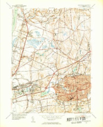
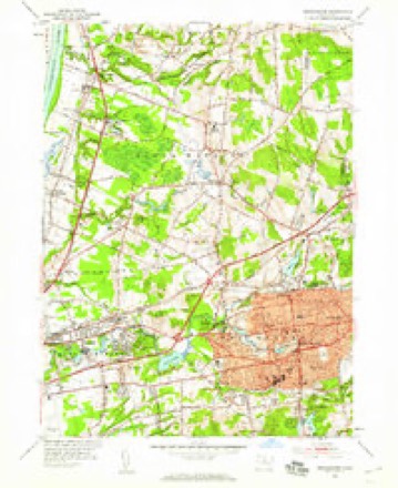
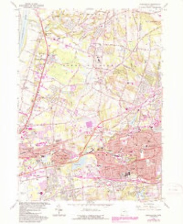
35 topographic sheets cover this place, the earliest surveyed in 1892 and the latest in 1994. It stands in Manchester town. It lies in ZIP code area 06042. It stands on Lydall Brook. The Survey maps it on the Manchester quadrangle.
On record in Oakland
Buildings and businesses the archive holds for this place. Each opens its own page, with the source record it came from.
On the National Register within a mile 1 record
The National Register names another town for these. They stand within one mile of this settlement's coordinate.
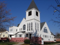 Union Village Historic Districtlisted 2002 · 0.8 miles away
Topographic sheets covering this place
14 surveys from 35 printed sheetsMatched by testing this settlement's coordinate against the published boundary of every sheet in the United States Geological Survey's historical collection. Each opens the scanned sheet at the Survey.
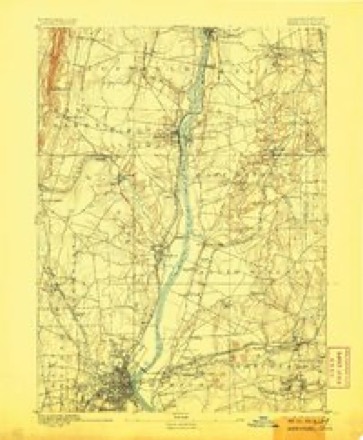
- 1892 USGS Hartford quadrangle1:62500, 8 printings
- 1906 USGS Farmington quadrangle1:125000, 2 printings
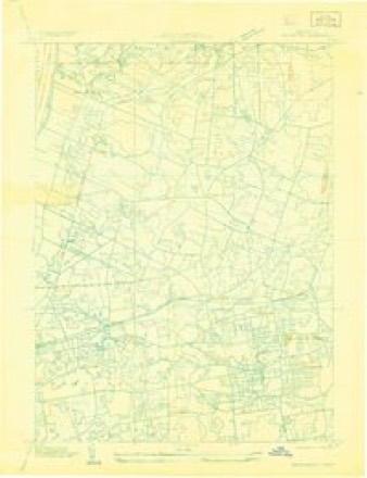
- 1928 USGS Manchester quadrangle1:24000
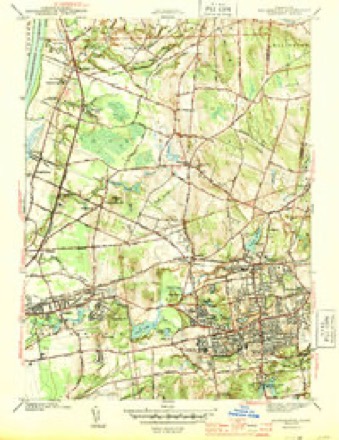
- 1944 USGS Manchester quadrangle1:31680, 3 printings
- 1947 USGS Hartford quadrangle1:250000, 2 printings
- 1948 USGS Hartford quadrangle1:250000, 2 printings
- 1952 USGS Manchester quadrangle1:31680, 2 printings
- 1952 USGS Manchester quadrangle1:24000
- 1961 USGS Hartford quadrangle1:250000
- 1962 USGS Hartford quadrangle1:250000, 3 printings
- 1963 USGS Manchester quadrangle1:24000, 5 printings
- 1965 USGS Hartford quadrangle1:250000, 2 printings
- 1986 USGS Hartford quadrangle1:100000
- 1994 USGS Hartford quadrangle1:100000, 2 printings








In the county-history sources
7,473 words on this townshipThe Memorial History of Hartford County, Connecticut, 1633-1884;, published 1886 names this settlement in its chapter on Manchester Town. These are the passages that mention it, exactly as the scans read.
By the act of incorporation the western boundary of the town of Manchester was placed half a mile west of the west line of the Five Miles. The town therefore included, in addition to the Five Miles, a section, half a mile wide, of the original Three-mile Lots. In 1842 a portion of East Windsor, com])rising an area of nearly two square miles, and including Oakland district, was annexed to this town, making its present area about twenty-eight square miles, bounded north by South Windsor, east by Bolton and Vernon, south by Glastonbury, and west by East Hartford. The face of the coimtiy east of Connecticut River for a considerable distance is generallv level, risinsf into broken uplands in the northern part. Near the centre of the town of Manchester the land gradually rises into a moderately elevated plain, along which extends the broad avenue which is the continuation of the old " country road " from East Hartford Street, beginning at the corner near tlie moutli of the Hockanum River. This plain gradually terminates on the east in the high range of hills which, sweeping round to the southwest, encloses the extensive valley that forms the southeast part of the town.
Passage source: The Memorial History of Hartford County, Connecticut, 1633-1884;, published 1886.
The Hockanum River, the outlet of Snipsic Lake, in Vernon, flows through the entire northern portion of the town, receiving as chief tributaries Hop Brook and Bigelow Brook. In the vicinity of tliese streams the manufactories are located. The chief centres of business and population are North Manchester and South Manchester. Other settlements are Manchester Green, Lydallville, Parker Village, Oakland, Buckland, Hilliardville, and the Highlands.
Passage source: The Memorial History of Hartford County, Connecticut, 1633-1884;, published 1886.
At Oakland, in 1832, Henry Hudson, of Hartford, purchased of Joseph Loomis the privilege already occupied by a saw-mill and gristmill. Tiiese he converted into a paper-mill. In 1842 the property was deeded to his son, Mclancthon Hudson, and in 1844 a second mill was erected. The Hudson paper-mills were managed by the Hudsons for thirty years, Melancthon Hudson being succeeded by his sons, William and Philip W. Subsequently the Cheney Brothers came into possession of the property, rebuilt and enlarged the old mill, putting into it the best modern machinery, improved the dwelling-houses, and adorned and beautified the grounds, making Oakland an attractive village. In former years the Hudson paper-mill filled large orders for the United States Government. In 1878 the property was sold to the Hurlburt Manufacturing Company, which has since been reorganized under the name of the Oakland Paper Company. Between Oakland and Union Village, in 1831, William Jones started a silkmill, which was used afterward for the manufacture of satinet, and
Passage source: The Memorial History of Hartford County, Connecticut, 1633-1884;, published 1886.
Machine-read from a century-old scan, so expect the errors a machine makes: misspelled names, dropped words, stray characters.
Read the whole chapter on Manchester Town - it names this place 2 more 2 times.
Fires near this place
90 since 1999Regional context, not property-specific evidence. The federal wildfire occurrence database lists 90 fires within 5 miles of Oakland between 1999 and 2020, burning about 108 acres in total. None started naturally. 1 was recorded as arson. Distance is straight-line from the map coordinates, so a fire counted here may appear on a neighbouring settlement's page as well.
| Reported cause | Fires |
|---|---|
| Missing data/not specified/undetermined | 74 |
| Debris and open burning | 6 |
| Recreation and ceremony | 4 |
| Power generation/transmission/distribution | 2 |
| Smoking | 2 |
| Arson/incendiarism | 1 |
| Other causes | 1 |
The most recent of them, most recent first, with the day each was reported and the service that recorded it.
| Date | Cause | Size | Reported by | Name on the report |
|---|---|---|---|---|
| 7 September 2015 | Missing data/not specified/undetermined | under an acre | Connecticut Division of Forestry | not named |
| 24 September 2019 | Missing data/not specified/undetermined | under an acre | Connecticut Division of Forestry | not named |
| 21 September 2015 | Missing data/not specified/undetermined | under an acre | Connecticut Division of Forestry | not named |
| 14 September 2015 | Missing data/not specified/undetermined | under an acre | Connecticut Division of Forestry | not named |
| 4 August 2015 | Missing data/not specified/undetermined | under an acre | Connecticut Division of Forestry | not named |
| 31 August 2008 | Missing data/not specified/undetermined | under an acre | Connecticut Division of Forestry | not named |
| 3 August 2015 | Missing data/not specified/undetermined | under an acre | Connecticut Division of Forestry | not named |
| 20 August 2020 | Missing data/not specified/undetermined | under an acre | Connecticut Division of Forestry | 311 OLCOTT STREET (LANDFILL) |
Settlements close enough to share some of these fires:
Mines and quarries near this place
10 of 34 shownRegional context, not property-specific evidence. The federal mineral resources record lists 34 workings within 5 miles of Oakland: 22 past producers, 12 producers. 12 still produce. What was taken out: Stone, Dimension, Sand and Gravel, Construction, Clay, Granite. Distance is straight-line from the map coordinates, so a quarry counted here may appear on a neighbouring settlement's page as well.
| Where | Site | Commodity | Status | Recorded |
|---|---|---|---|---|
| Granite Gneiss Rock Quarry No. Bj-001 | Stone | Past Producer | Gneiss | |
| South Windsor | Bloating Material | Past Producer | Sedimentary | |
| Wyllys Copper Mine | Copper | Past Producer | ||
| Bolton Notch Quarry | Stone, Crushed/Broken | Producer | ||
| Buckland Sandstone Quarries | Flagstone | Past Producer | ||
| Gorman Quarry | Granite | Past Producer | ||
| K-F Pit | Clay, Stone, Crushed/Broken | Producer | ||
| Petersen Quarry | Granite | Past Producer | ||
| Sandstone Quarry #Ci-009 | Flagstone | Past Producer | ||
| Clay Pits No. Ci-007 | Clay | Producer | Clay |
Nearest settlements
The eight closest, with where each one stands in the county. Distances are straight-line, computed from the Geographic Names Information System coordinates.
| Map | Place | Distance | Sheets |
|---|---|---|---|
| Flax Hill Elderly Housing | 1.1 miles | 35 | |
| Lydallville | 1.6 miles | 33 | |
| Manchester Green | 1.7 miles | 35 | |
| Buckland | 1.9 miles | 35 | |
| Wapping Mews Elderly Housing | 2.0 miles | 35 | |
| Manchester | 2.1 miles | 35 | |
| Wapping | 2.4 miles | 35 | |
| Hilliardville | 2.5 miles | 35 |
Provenance
This settlement is recorded in the Geographic Names Information System as feature 209445. The sheet list is computed by point-in-boundary test against the United States Geological Survey's historical topographic inventory. Both are works of the United States government and carry no copyright under 17 U.S.C. 105.
Wildfire. Short, Karen C. 2022. Spatial wildfire occurrence data for the United States, 1992-2020 [FPA_FOD_20221014]. 6th Edition. Fort Collins, CO: Forest Service Research Data Archive. https://doi.org/10.2737/RDS-2013-0009.6 Collected with United States Government funding and usable without additional permissions or fees.
Mines and quarries. USGS Mineral Resources Data System (MRDS) https://mrdata.usgs.gov/mrds/ A work of the United States government, no copyright under 17 U.S.C. 105.