 Block
Wapping, Connecticut
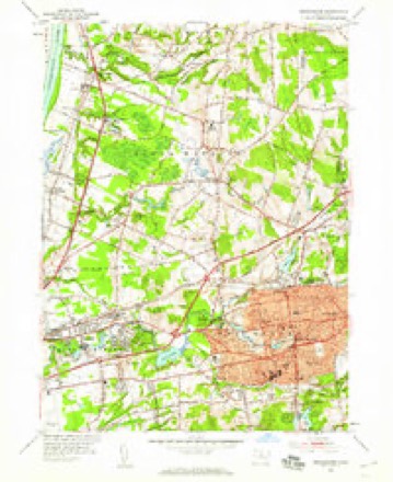
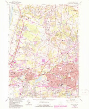
35 topographic sheets cover this place, the earliest surveyed in 1892 and the latest in 1994. It stands in South Windsor town. It lies in ZIP code area 06074. It stands on Farm Brook. The Survey maps it on the Manchester quadrangle.
Topographic sheets covering this place
14 surveys from 35 printed sheetsMatched by testing this settlement's coordinate against the published boundary of every sheet in the United States Geological Survey's historical collection. Each opens the scanned sheet at the Survey.
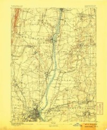
- 1892 USGS Hartford quadrangle1:62500, 8 printings
- 1906 USGS Farmington quadrangle1:125000, 2 printings
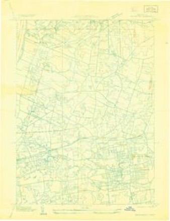
- 1928 USGS Manchester quadrangle1:24000
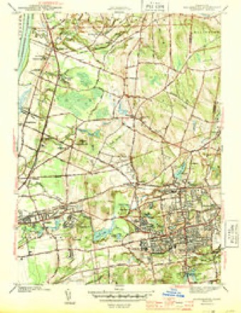
- 1944 USGS Manchester quadrangle1:31680, 3 printings
- 1947 USGS Hartford quadrangle1:250000, 2 printings
- 1948 USGS Hartford quadrangle1:250000, 2 printings
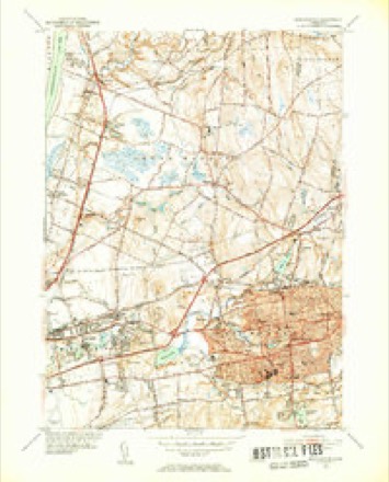
- 1952 USGS Manchester quadrangle1:31680, 2 printings
- 1952 USGS Manchester quadrangle1:24000
- 1961 USGS Hartford quadrangle1:250000
- 1962 USGS Hartford quadrangle1:250000, 3 printings
- 1963 USGS Manchester quadrangle1:24000, 5 printings
- 1965 USGS Hartford quadrangle1:250000, 2 printings
- 1986 USGS Hartford quadrangle1:100000
- 1994 USGS Hartford quadrangle1:100000, 2 printings








In the county-history sources
4,957 words on this townshipThe Memorial History of Hartford County, Connecticut, 1633-1884;, published 1886 names this settlement in its chapter on South Windsor Town. These are the passages that mention it, exactly as the scans read.
The Second Congregational Church in South Windsor, known as the Wapping Church, was organized Feb. 2, 1830. A preaching service had been maintained for some years previous. The Rev. Henry Morris went there in 1829, and remained till 1832. The Rev. David L. Hunn, a graduate of Yale College and Andover Theological Seminary, supplied the pulpit from 1832 to 1835. The first regularly settled pastor was the Rev. Marvin Root, a graduate of Williams College and Yale Theological Seminary. He began his work Aug. 29, 1836, and was dismissed April 29, 1840. The Rev. Augustus Pomery supplied for a time, and the Rev. Oscar F. Parker, after serving as acting pastor for two years, was ordained in 1844, and continued till 1848. The Rev. William Wright was settled in 1854, and continued in office until 1865. The Rev. Winfield S. Hawkes began his ministry Nov. 12, 1868, and was dismissed March 22, 1871, when the Rev. Charles W. Drake supplied the pulpit until 1875. The Rev. Henry Elmer Hart followed, and supplied the pulpit from 1875 to 1878 The Rev Charles N. Flanders, a graduate of Dartmouth College and Andover Theological Seminary, has been in charge of the pulpit since 1878,
Passage source: The Memorial History of Hartford County, Connecticut, 1633-1884;, published 1886.
Machine-read from a century-old scan, so expect the errors a machine makes: misspelled names, dropped words, stray characters.
Fires near this place
81 since 1992Regional context, not property-specific evidence. The federal wildfire occurrence database lists 81 fires within 5 miles of Wapping between 1992 and 2020, burning about 105 acres in total. None started naturally. 3 were recorded as arson. Distance is straight-line from the map coordinates, so a fire counted here may appear on a neighbouring settlement's page as well.
| Reported cause | Fires |
|---|---|
| Missing data/not specified/undetermined | 65 |
| Debris and open burning | 6 |
| Recreation and ceremony | 4 |
| Arson/incendiarism | 3 |
| Smoking | 2 |
| Other causes | 1 |
The most recent of them, most recent first, with the day each was reported and the service that recorded it.
| Date | Cause | Size | Reported by | Name on the report |
|---|---|---|---|---|
| 7 September 2015 | Missing data/not specified/undetermined | under an acre | Connecticut Division of Forestry | not named |
| 24 September 2019 | Missing data/not specified/undetermined | under an acre | Connecticut Division of Forestry | not named |
| 21 September 2015 | Missing data/not specified/undetermined | under an acre | Connecticut Division of Forestry | not named |
| 4 August 2015 | Missing data/not specified/undetermined | under an acre | Connecticut Division of Forestry | not named |
| 31 August 2008 | Missing data/not specified/undetermined | under an acre | Connecticut Division of Forestry | not named |
| 3 August 2015 | Missing data/not specified/undetermined | under an acre | Connecticut Division of Forestry | not named |
| 20 August 2020 | Missing data/not specified/undetermined | under an acre | Connecticut Division of Forestry | 311 OLCOTT STREET (LANDFILL) |
| 2 August 2008 | Missing data/not specified/undetermined | under an acre | Connecticut Division of Forestry | not named |
Settlements close enough to share some of these fires:
Mines and quarries near this place
10 of 24 shownRegional context, not property-specific evidence. The federal mineral resources record lists 24 workings within 5 miles of Wapping: 15 past producers, 8 producers, 1 unknown. 8 still produce. What was taken out: Sand and Gravel, Construction, Stone, Dimension, Clay, Flagstone. Distance is straight-line from the map coordinates, so a quarry counted here may appear on a neighbouring settlement's page as well.
| Where | Site | Commodity | Status | Recorded |
|---|---|---|---|---|
| K-F Pit | Clay, Stone, Crushed/Broken | Producer | ||
| South Windsor | Bloating Material | Past Producer | Sedimentary | |
| Buckland Sandstone Quarries | Flagstone | Past Producer | ||
| Sandstone Quarry #Bi-007 | Flagstone | Past Producer | ||
| Sandstone Quarry #Ci-009 | Flagstone | Past Producer | ||
| Clay Pits No. Ci-007 | Clay | Producer | Clay | |
| Claypits No. Ci-008 | Clay | Producer | Clay | |
| K-F Pit | Clay | Past Producer | Sedimentary | |
| Sandstone Rock Quarries No. Bi-007 | Stone, Dimension | Past Producer | 1900 | |
| Sandstone Rock Quarry No. Ci-006 | Stone, Dimension | Past Producer | Sandstone |
Storms near this place
5 since 2008Regional context, not property-specific evidence. The National Weather Service names Wapping in 5 storm reports between 2008 and 2023: 2 flash flood, 1 flood, 1 heavy rain, 1 thunderstorm wind. No death or injury is recorded in these reports. Each account below is quoted exactly as the forecast office filed it, from the NOAA Storm Events Database, and each date opens the federal record of that event.
| When | Event | Place named | Harm | What the report says |
|---|---|---|---|---|
| September 2021 | Flash Flood | Wapping | $50,000 | In Vernon, for the second time in two months, swiftly flowing flood waters from the Hockanum River inundated a roadway connecting Hartford Turnpike (Route 30) to the Colonial Corners shopping plaza, a hotel, and a few other businesses. Over 100 guests at the hotel were stranded, with local officials creating an off-road path onto I-84 to get stranded guests out. |
| August 2021 | Flash Flood | Wapping | $10,000 | In South Windsor, the Podunk River overflowed its banks, causing significant flash flooding on Ellington Road, which was closed between Miller Road and Niederwerfer Road. |
| December 2008 | Flood | Wapping | $3,000 | The Hockanum River in Manchester overflowed its banks at New State Road with the water level over picnic table seats near Adams Street. |
| July 2023 | Thunderstorm Wind | Wapping | $500 | In South Windsor, power lines were down on the 100 block of Oak St. |
| August 2021 | Heavy Rain | Wapping | - | In South Windsor, a trained spotter reported 5.30 inches of rain as of 923 AM EDT (823 AM EST). |
Nearest settlements
The eight closest, with where each one stands in the county. Distances are straight-line, computed from the Geographic Names Information System coordinates.
| Map | Place | Distance | Sheets |
|---|---|---|---|
| Flax Hill Elderly Housing | 1.3 miles | 35 | |
| Buckland | 2.2 miles | 35 | |
| Wapping Mews Elderly Housing | 2.2 miles | 35 | |
| Oakland | 2.4 miles | 35 | |
| Farnhams | 2.5 miles | 35 | |
| Hilliardville | 3.0 miles | 35 | |
| East Windsor Hill | 3.5 miles | 35 | |
| South Windsor | 3.6 miles | 35 |
Provenance
This settlement is recorded in the Geographic Names Information System as feature 211806. The sheet list is computed by point-in-boundary test against the United States Geological Survey's historical topographic inventory. Both are works of the United States government and carry no copyright under 17 U.S.C. 105.
Wildfire. Short, Karen C. 2022. Spatial wildfire occurrence data for the United States, 1992-2020 [FPA_FOD_20221014]. 6th Edition. Fort Collins, CO: Forest Service Research Data Archive. https://doi.org/10.2737/RDS-2013-0009.6 Collected with United States Government funding and usable without additional permissions or fees.
Mines and quarries. USGS Mineral Resources Data System (MRDS) https://mrdata.usgs.gov/mrds/ A work of the United States government, no copyright under 17 U.S.C. 105.
Storms. NOAA National Centers for Environmental Information, Storm Events Database https://www.ncei.noaa.gov/stormevents/ A work of the United States government, no copyright under 17 U.S.C. 105. Narratives are quoted verbatim from the National Weather Service report and are not edited or summarised.