 Block
Quaker Hill, Connecticut
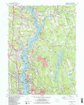
33 topographic sheets cover this place, the earliest surveyed in 1892 and the latest in 1984. It stands in Waterford town. It lies in ZIP code area 06375. It stands on Hunts Brook. The Survey maps it on the Uncasville quadrangle.
On record in Quaker Hill
Buildings and businesses the archive holds for this place. Each opens its own page, with the source record it came from.
On the National Register within a mile 2 records
The National Register names another town for these. They stand within one mile of this settlement's coordinate.
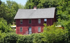 Quaker Hill Historic Districtlisted 2002 · 0.3 miles away
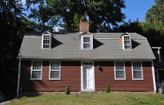 Perkins-Bill Houselisted 2000 · 1.0 miles away
Topographic sheets covering this place
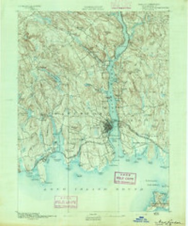
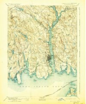
13 surveys from 33 printed sheetsMatched by testing this settlement's coordinate against the published boundary of every sheet in the United States Geological Survey's historical collection. Each opens the scanned sheet at the Survey.
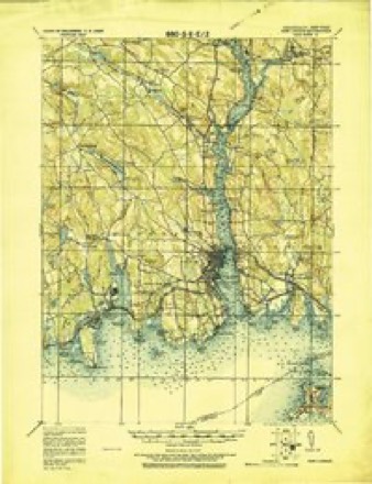
- 1892 USGS New London quadrangle1:62500
- 1893 USGS New London quadrangle1:62500, 10 printings
- 1921 USGS New London quadrangle1:62500
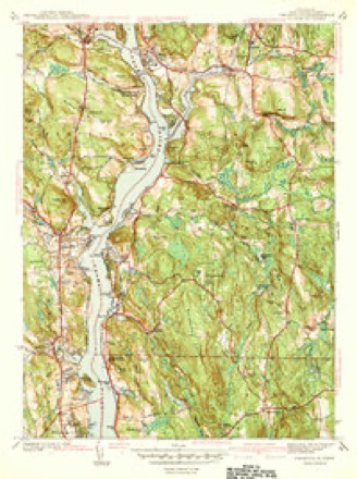
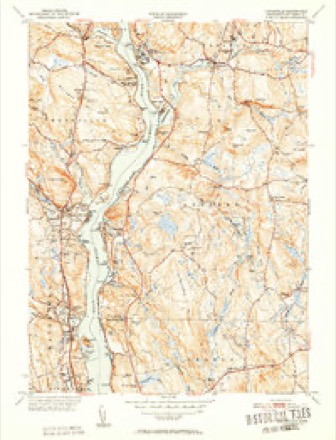
- 1941 USGS Uncasville quadrangle1:31680, 2 printings
- 1947 USGS Hartford quadrangle1:250000, 2 printings
- 1948 USGS Hartford quadrangle1:250000, 2 printings
- 1952 USGS Uncasville quadrangle1:31680, 2 printings
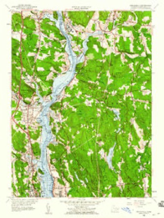
- 1958 USGS Uncasville quadrangle1:24000, 3 printings
- 1961 USGS Hartford quadrangle1:250000
- 1962 USGS Hartford quadrangle1:250000, 3 printings
- 1965 USGS Hartford quadrangle1:250000, 2 printings
- 1983 USGS New Haven quadrangle1:100000, 2 printings
- 1984 USGS Uncasville quadrangle1:24000, 2 printings






In the county-history sources
15,247 words on this townshipHistory of New London County, Connecticut, with Biographical Sketches of Many of Its Pioneers and Prominent Men, published 1882 names this settlement in its chapter on Waterford Town. These are the passages that mention it, exactly as the scans read.
The field of Elder Darrow's labors at this time was wider than that of modern Baptist pastors. His little army lay encamped on the shores of the Niantick and in the valley of Jordan, but his outposts were scattered over New London, Montville, Black Point, Colchester, Norwich Plains (Bozrah), and even Long Island. The " Norwich Plains" Church (as it stands on the record) was for some time held as a branch of this body, the names of all the constituent members being on the books of the mother-church. Busy in strengthening feeble interests around him, constantly holding forth the Word of life to the destitute, planting new churches abroad, for which his own flock furnished a liberal quota of original members, he did not on that account neglect his duties at hom,e. Besides attending to his farming, he yet found time to hold meetings at River Head, Harbor's Mottth, Great Neck, Lake's Pond, Jordan, Rope Ferry, and Quaker Hill. He preached on the Sabbath and administered the sacrament monthly, except at stated intervals, at the house of one of his deacons - John Beckwith - till 1788, when the unfinished " Hammond meetinghouse" was removed from its old site, near Finger's Brook, placed on land given by Elder Harrow, near the " Howard burying-ground," and put in comfortable order by the church. It continued to be their principal place of worship till 1848, having been from time to time enlarged and repaired to accommodate a growing congregation. At stated times the church held their meetings on the Sabbath, and communions in the court-house, or at the dwellings of Coit and Clark, in the city of New London, and at the old " Groton meeting-house," on East Neck. The latter was from time to time repaired, and occupied for one hundred and twenty or thirty years.
Passage source: History of New London County, Connecticut, with Biographical Sketches of Many of Its Pioneers and Prominent Men, published 1882.
Machine-read from a century-old scan, so expect the errors a machine makes: misspelled names, dropped words, stray characters.
Fires near this place
24 since 1992Regional context, not property-specific evidence. The federal wildfire occurrence database lists 24 fires within 5 miles of Quaker Hill between 1992 and 2020, burning about 116 acres in total. None started naturally. None was recorded as arson. Distance is straight-line from the map coordinates, so a fire counted here may appear on a neighbouring settlement's page as well.
| Reported cause | Fires |
|---|---|
| Missing data/not specified/undetermined | 17 |
| Recreation and ceremony | 3 |
| Debris and open burning | 3 |
| Power generation/transmission/distribution | 1 |
The most recent of them, most recent first, with the day each was reported and the service that recorded it.
| Date | Cause | Size | Reported by | Name on the report |
|---|---|---|---|---|
| 27 August 2017 | Missing data/not specified/undetermined | under an acre | Connecticut Division of Forestry | STODDARD HILL STATE PARK |
| 25 July 2016 | Missing data/not specified/undetermined | 4.2 acres | Connecticut Division of Forestry | 983 LONG COVE RD |
| 21 July 2016 | Missing data/not specified/undetermined | 2.0 acres | Connecticut Division of Forestry | WHALEHEAD ROAD LEDYARD |
| 2 May 2015 | Missing data/not specified/undetermined | 8.0 acres | Connecticut Division of Forestry | not named |
| 13 May 2020 | Debris and open burning | 2.4 acres | Connecticut Division of Forestry | MAID MARION LANE |
| 8 April 1992 | Debris and open burning | 2.5 acres | Connecticut Division of Forestry | not named |
| 4 April 1992 | Recreation and ceremony | 6.0 acres | Connecticut Division of Forestry | not named |
| 24 April 2016 | Missing data/not specified/undetermined | 2.0 acres | Connecticut Division of Forestry | BATES WOODS PARK/CHESTER STREET |
Settlements close enough to share some of these fires:
Mines and quarries near this place
10 of 49 shownRegional context, not property-specific evidence. The federal mineral resources record lists 49 workings within 5 miles of Quaker Hill: 42 past producers, 5 producers, 1 occurrence, 1 plant. 6 still produce. What was taken out: Stone, Dimension, Granite, Sand and Gravel, Construction, Stone. Distance is straight-line from the map coordinates, so a quarry counted here may appear on a neighbouring settlement's page as well.
| Where | Site | Commodity | Status | Recorded |
|---|---|---|---|---|
| Flatrock Quarry | Niobium (Columbium), REE | Occurrence | Monazite, Eschynite | |
| Alaskite Gneiss Rock Quarry No. Ak-004 | Stone | Past Producer | ||
| Gneiss Rock Quarry No. Ak-008 | Stone | Past Producer | Gneiss | |
| Gneiss Rock Quarry No. Ak-009 | Stone | Past Producer | Gneiss | |
| Groton Reservoir Dredge | Sand and Gravel, Construction | Past Producer | Sedimentary | |
| Groton Reservoir Dredge | Sand and Gravel, Construction | Past Producer | ||
| Groton Reservoir Dredge | Sand and Gravel, Construction | Producer | ||
| Groton Reservoir Dredge | Sand and Gravel, Construction | Producer | ||
| Groton Reservoir Pit | Sand and Gravel, Construction | Past Producer | ||
| Hewitt's Dredge | Sand and Gravel, Construction | Producer |
Storms near this place
1 since 2011Regional context, not property-specific evidence. The National Weather Service names Quaker Hill in 1 storm report in 2011: 1 hail. No death or injury is recorded in these reports. Each account below is quoted exactly as the forecast office filed it, from the NOAA Storm Events Database, and each date opens the federal record of that event.
| When | Event | Place named | Harm | What the report says |
|---|---|---|---|---|
| June 2011 | Hail | Quaker Hill | - | no account filed |
Nearest settlements
The eight closest, with where each one stands in the county. Distances are straight-line, computed from the Geographic Names Information System coordinates.
| Map | Place | Distance | Sheets |
|---|---|---|---|
| Thames View | 0.6 miles | 33 | |
| Harrisons | 1.2 miles | 33 | |
| Bartlett | 1.3 miles | 33 | |
| Uncasville | 2.2 miles | 33 | |
| Gales Ferry | 2.2 miles | 33 | |
| Nautilus Park | 2.3 miles | 33 | |
| East New London | 2.6 miles | 32 | |
| Pleasant Valley | 2.8 miles | 32 |
Provenance
This settlement is recorded in the Geographic Names Information System as feature 210039. The sheet list is computed by point-in-boundary test against the United States Geological Survey's historical topographic inventory. Both are works of the United States government and carry no copyright under 17 U.S.C. 105.
Wildfire. Short, Karen C. 2022. Spatial wildfire occurrence data for the United States, 1992-2020 [FPA_FOD_20221014]. 6th Edition. Fort Collins, CO: Forest Service Research Data Archive. https://doi.org/10.2737/RDS-2013-0009.6 Collected with United States Government funding and usable without additional permissions or fees.
Mines and quarries. USGS Mineral Resources Data System (MRDS) https://mrdata.usgs.gov/mrds/ A work of the United States government, no copyright under 17 U.S.C. 105.
Storms. NOAA National Centers for Environmental Information, Storm Events Database https://www.ncei.noaa.gov/stormevents/ A work of the United States government, no copyright under 17 U.S.C. 105. Narratives are quoted verbatim from the National Weather Service report and are not edited or summarised.