 Block
Rainbow, Connecticut
32 topographic sheets cover this place, the earliest surveyed in 1892 and the latest in 1994. It stands in Windsor town. It lies in ZIP code area 06095. It stands on Rainbow Brook. The Survey maps it on the Windsor Locks quadrangle.
On record in Rainbow
Buildings and businesses the archive holds for this place. Each opens its own page, with the source record it came from.
On the National Register within a mile 1 record
The National Register names another town for these. They stand within one mile of this settlement's coordinate.
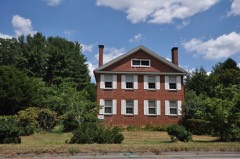 Benomi Case Houselisted 1988 · 0.0 miles away
Topographic sheets covering this place
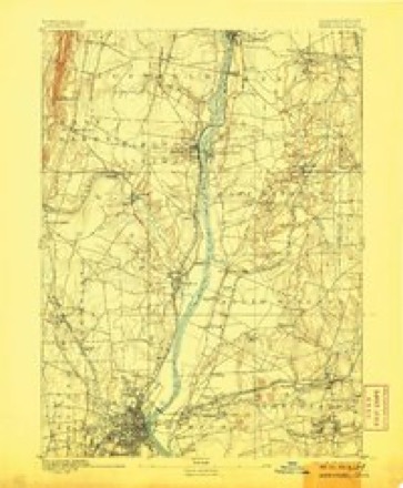
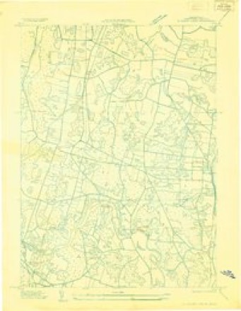
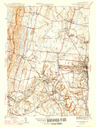
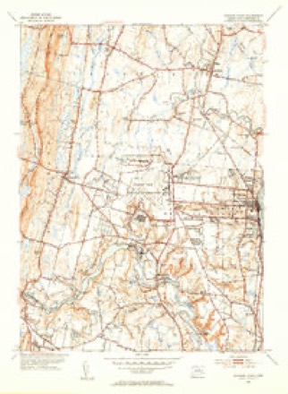
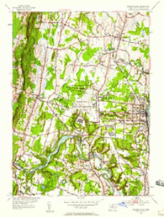
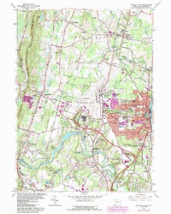
14 surveys from 32 printed sheetsMatched by testing this settlement's coordinate against the published boundary of every sheet in the United States Geological Survey's historical collection. Each opens the scanned sheet at the Survey.
- 1892 USGS Hartford quadrangle1:62500, 8 printings
- 1906 USGS Farmington quadrangle1:125000, 2 printings
- 1928 USGS Windsor Locks quadrangle1:24000
- 1946 USGS Windsor Locks quadrangle1:31680, 2 printings
- 1947 USGS Hartford quadrangle1:250000, 2 printings
- 1948 USGS Hartford quadrangle1:250000, 2 printings
- 1953 USGS Windsor Locks quadrangle1:31680, 2 printings
- 1953 USGS Windsor Locks quadrangle1:24000
- 1961 USGS Hartford quadrangle1:250000
- 1962 USGS Hartford quadrangle1:250000, 3 printings
- 1964 USGS Windsor Locks quadrangle1:24000, 3 printings
- 1965 USGS Hartford quadrangle1:250000, 2 printings
- 1986 USGS Hartford quadrangle1:100000
- 1994 USGS Hartford quadrangle1:100000, 2 printings








In the county-history sources
26,706 words on this townshipThe Memorial History of Hartford County, Connecticut, 1633-1884;, published 1886 names this settlement in its chapter on Windsor Town. These are the passages that mention it, exactly as the scans read.
The Second Society of Windsor, usually called Poquonnock,^ is an important manufacturing village situated on the Farmingtoii River, which in early times was navigable up to this point. The graceful bend of this river has been named Rainljow, and at that place the Rainbow Mills are situated. Here we touch an incident in the life of the
Passage source: The Memorial History of Hartford County, Connecticut, 1633-1884;, published 1886.
The mills of the Hartford Paper Company are at Rainbow and Poquonnock. The capital stock is $150,000. The hands employed number forty-eight men and thirty-five women ; total, eighty-three. They manufacture paper of various kinds. The capacity of the mills is nine thousand pounds of these papers per day ; and if confined to book-papers, it would be eleven thousand pounds per day. The Rainbow mill was erected about thirty years ago, and the Poquonnock mill in 1870-1871. The property has cost the company |180,000.
Passage source: The Memorial History of Hartford County, Connecticut, 1633-1884;, published 1886.
A Baptist church was organized in the village of Rainbow, which was recognized by Council May 18, 1875. Mr. George L. Hodge had sustained a prayer-meeting and secured occasional preaching previous to his death, in 1867 ; and in that year public worship began, which was sustained by aid of the Second Baptist Church of Suftield, their pastor, the Rev. Dr. Ives, giving his aid and encouragement. The Rev. W. F. Hansell, D.D., preached then for some time, ^ pastor of the flock. He died Nov. 26, 1875. The Rev. W. K. Dean became pastor in July, 1876, and served until June 6, 1878. The Rev. A. S. Burrows was chosen pastor Oct. 1, 1878, and served until June, 1881. The Rev. G. W. Hinckley succeeded him Nov. 1, 1881. A new church edifice, valued at -$5,000, was dedicated, free from debt, July 8, 1880.
Passage source: The Memorial History of Hartford County, Connecticut, 1633-1884;, published 1886.
Machine-read from a century-old scan, so expect the errors a machine makes: misspelled names, dropped words, stray characters.
Read the whole chapter on Windsor Town - it names this place 1 more 1 time.
Fires near this place
21 since 2003Regional context, not property-specific evidence. The federal wildfire occurrence database lists 21 fires within 5 miles of Rainbow between 2003 and 2020, burning about 12 acres in total. None started naturally. None was recorded as arson. Distance is straight-line from the map coordinates, so a fire counted here may appear on a neighbouring settlement's page as well.
| Reported cause | Fires |
|---|---|
| Missing data/not specified/undetermined | 16 |
| Recreation and ceremony | 3 |
| Fireworks | 1 |
| Debris and open burning | 1 |
The most recent of them, most recent first, with the day each was reported and the service that recorded it.
| Date | Cause | Size | Reported by | Name on the report |
|---|---|---|---|---|
| 23 September 2020 | Fireworks | 1.0 acres | Connecticut Division of Forestry | RT187 AND SPOONVILLE ROAD |
| 14 August 2010 | Recreation and ceremony | under an acre | Connecticut Division of Forestry | not named |
| 22 July 2020 | Recreation and ceremony | under an acre | Connecticut Division of Forestry | KINGS ISLAND |
| 10 July 2019 | Missing data/not specified/undetermined | under an acre | Connecticut Division of Forestry | not named |
| 23 June 2020 | Missing data/not specified/undetermined | under an acre | Connecticut Division of Forestry | 229 SOUTH WATER STREET |
| 22 June 2016 | Missing data/not specified/undetermined | under an acre | Connecticut Division of Forestry | TARRIFFVILLE ROAD |
| 2 June 2011 | Debris and open burning | 1.0 acres | Connecticut Division of Forestry | WINDSOR LOCKS |
| 7 May 2003 | Recreation and ceremony | 2.0 acres | Connecticut Division of Forestry | not named |
Settlements close enough to share some of these fires:
Mines and quarries near this place
10 of 21 shownRegional context, not property-specific evidence. The federal mineral resources record lists 21 workings within 5 miles of Rainbow: 18 past producers, 3 producers. 3 still produce. What was taken out: Copper, Stone, Dimension, Flagstone, Stone, Crushed/Broken. Distance is straight-line from the map coordinates, so a quarry counted here may appear on a neighbouring settlement's page as well.
| Where | Site | Commodity | Status | Recorded |
|---|---|---|---|---|
| Higley Copper Mine | Copper, Sulfur | Past Producer | Breccia Filling And Replacement | |
| Simsbury Copper Mine | Copper, Sulfur | Past Producer | Void Filling And Replacement | |
| Simsbury Newgate Prison Copper Mine | Copper, Sulfur | Past Producer | 1707 | |
| Basalt Rock Quarry No. Di-004 | Stone, Crushed/Broken | Past Producer | Basalt | |
| Brownstone Quarry | Flagstone | Past Producer | ||
| Brownstone Quarry | Flagstone | Past Producer | ||
| Quarry Road Pit | Stone, Crushed/Broken | Producer | ||
| Quarry Road Pit | Stone, Crushed/Broken | Producer | ||
| Roncari Traprock Quarry | Stone, Crushed/Broken | Producer | Basalt | |
| Sandstone Quarry | Flagstone | Past Producer |
Nearest settlements
The eight closest, with where each one stands in the county. Distances are straight-line, computed from the Geographic Names Information System coordinates.
| Map | Place | Distance | Sheets |
|---|---|---|---|
| Poquonock | 1.2 miles | 32 | |
| Bull Run Corner | 1.5 miles | 32 | |
| Birchwood | 2.1 miles | 32 | |
| Green Manor Village | 2.2 miles | 32 | |
| Higley Village | 2.2 miles | 32 | |
| East Granby | 2.4 miles | 32 | |
| Breakneck | 2.8 miles | 32 | |
| Spoonville | 3.1 miles | 32 |
Provenance
This settlement is recorded in the Geographic Names Information System as feature 212553. The sheet list is computed by point-in-boundary test against the United States Geological Survey's historical topographic inventory. Both are works of the United States government and carry no copyright under 17 U.S.C. 105.
Wildfire. Short, Karen C. 2022. Spatial wildfire occurrence data for the United States, 1992-2020 [FPA_FOD_20221014]. 6th Edition. Fort Collins, CO: Forest Service Research Data Archive. https://doi.org/10.2737/RDS-2013-0009.6 Collected with United States Government funding and usable without additional permissions or fees.
Mines and quarries. USGS Mineral Resources Data System (MRDS) https://mrdata.usgs.gov/mrds/ A work of the United States government, no copyright under 17 U.S.C. 105.