 Block
Waterford, Connecticut
34 topographic sheets cover this place, the earliest surveyed in 1892 and the latest in 1983. It stands in Waterford town. It lies in ZIP code area 06385. It stands on Jordan Brook. The Survey maps it on the Niantic quadrangle. 3,074 people lived here at the 2020 count.
On record in Waterford
Buildings and businesses the archive holds for this place. Each opens its own page, with the source record it came from.
On the National Register 9 records
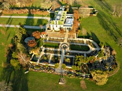 Eolia-Harkness Estatelisted 1986
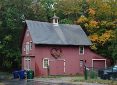 Graniteville Historic Districtlisted 2003
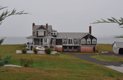 Hartford Colonylisted 2005
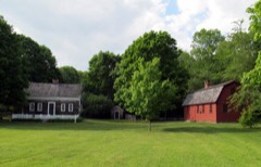 Jordan Village Historic Districtlisted 1990
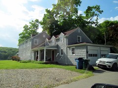 Oswegatchie Historic Districtlisted 2005
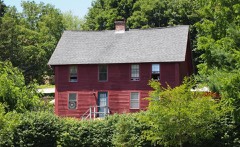 Quaker Hill Historic Districtlisted 2002
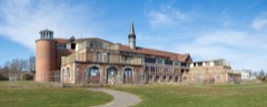 The Seasidelisted 1995
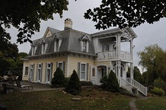 Walnut Grovelisted 2005
- Oil Mill Historic Districtlisted 2023
Population over time
2 figuresWaterford grew from 2,887 to 3,074 between 2010 and 2020. These are the recorded population figures Wikidata holds for this place, reached through the Geographic Names Information System number this page is keyed on rather than by name, so they belong to this place and not to another of the same name. Most are census counts, but not all are: an early figure may be a founding or settlement estimate, and an estimate published within five years of a census is left out. The change column is computed, and is left blank where more than 20 years separate a figure from the one before it, because a gap that long is not a change between two counts.
| Year | People | Change |
|---|---|---|
| 2010 | 2,887 | |
| 2020 | 3,074 | +187 (+6%) |
Topographic sheets covering this place
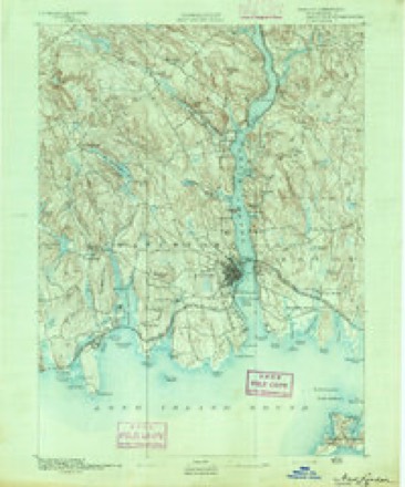
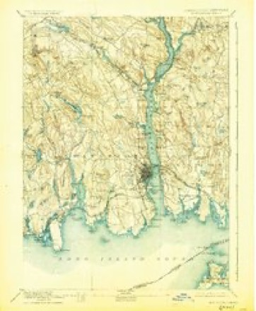
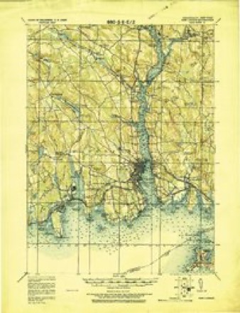
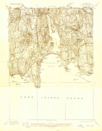
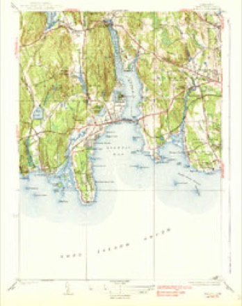
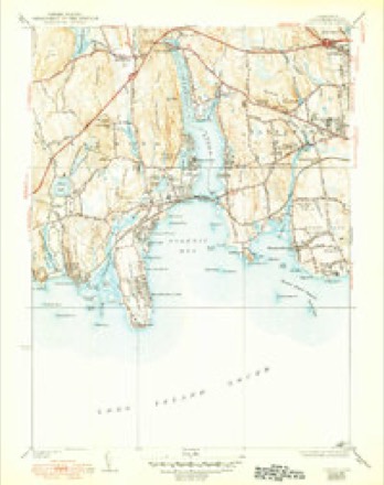
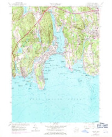
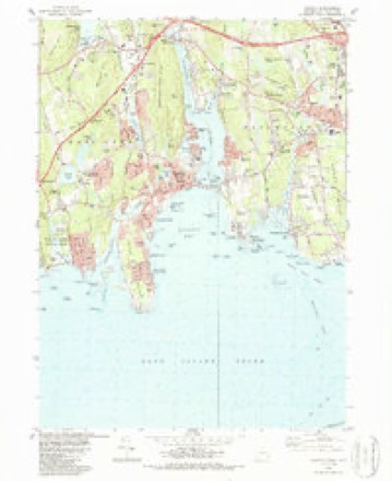
14 surveys from 34 printed sheetsMatched by testing this settlement's coordinate against the published boundary of every sheet in the United States Geological Survey's historical collection. Each opens the scanned sheet at the Survey.
- 1892 USGS New London quadrangle1:62500
- 1893 USGS New London quadrangle1:62500, 10 printings
- 1921 USGS New London quadrangle1:62500
- 1934 USGS Niantic quadrangle1:24000
- 1938 USGS Niantic quadrangle1:62500
- 1938 USGS Niantic quadrangle1:31680, 2 printings
- 1947 USGS Hartford quadrangle1:250000, 2 printings
- 1948 USGS Hartford quadrangle1:250000, 2 printings
- 1958 USGS Niantic quadrangle1:24000, 3 printings
- 1961 USGS Hartford quadrangle1:250000
- 1962 USGS Hartford quadrangle1:250000, 3 printings
- 1965 USGS Hartford quadrangle1:250000, 2 printings
- 1983 USGS New Haven quadrangle1:100000, 2 printings
- 1983 USGS Niantic quadrangle1:24000, 3 printings






In the county-history sources
15,247 words on this townshipHistory of New London County, Connecticut, with Biographical Sketches of Many of Its Pioneers and Prominent Men, published 1882 names this settlement in its chapter on Waterford Town. These are the passages that mention it, exactly as the scans read.
The town of Waterford lies in the southern part of the county, and is bounded as follows : on the north by Montville, on the east by the Thames River, which separates it from Ledyard and Groton, and by New London, and on the south by Long Island Sound, and on the west by East Lyme.
Passage source: History of New London County, Connecticut, with Biographical Sketches of Many of Its Pioneers and Prominent Men, published 1882.
First Baptist Church. - The town of Waterford was known until 1801 as New London, of which it was a part. The accounts of the early movements of Baptists are therefore put down to New London, though the seat of those movements was in those parts now known as Waterford. The first baptisms in the colony of Connecticut, after the primitive mode, took place in this town in the year 1674, by regular Baptist ministers from Rhode Island. An excitement was raised on account of it, and the General Court was invoked to suppress the innovation. Several of these Baptists remaining firm to their senti' ments, on the organization of the First Baptist Church in Groton, in 1705, put themselves under the watchcare of that church, and were visited from time to time by its pastor. Elder Wightman, till about the year 1710, when they were organized into a distinct church, which is called by Backus " The Second Baptist Church in Connecticut."
Passage source: History of New London County, Connecticut, with Biographical Sketches of Many of Its Pioneers and Prominent Men, published 1882.
Stephen Gorton, from Rhode Island, commenced visiting the church about the year 1720, and was ordained as their pastor Nov. 28, 1726. Previous to the settlement of Elder Gorton the church had erected a commodious house of worship on East Neck, which was a " Bethel" to multitudes of souls for more than a century. The church also, as it grew stronger, purchased a joaraoraaj'e, including a small farm, which Elder Gorton occupied while he remained in Waterford. Great success attended the ministry of Elder Gorton for many years. He won the aflfection of his people at home, and was respected abroad for his talents as a speaker. Under his ministry the church rapidly increased, and spread into the adjoining towns and across the Connecticut River. His labors greatly promoted the progress of Baptist sentiments in Lyme and Saybrook, and in 1731 " a branch of Elder Gorton's church was planted in Wallingford, which remained under the watch-care of the New London (Waterford) Church till Aug. 20, 1739, when they were formed into the Third Baptist Church in Connecticut. The preaching of Whitefield and Devenport in New London was attended with vast success, thousands hearing the Word of God from those devoted servants of their Master. But amid the general joy of Zion and increase of her converts which followed " The Great New Light Stir" (so called), an event occurred which threw this church into trial, and produced much division and alienation, and subsequently the destruction of Elder Gorton's church and the formation of a new interest. That a minister of so long standing and usefulness as Elder Gorton should permit his moral character to be compromised was so astonishing and sorrowful that the church was thrown into a state of division. The majority, however, disbelieving the accusation alleged against him, adhered to the pastor, but the minority withdrew, and subsequently, at about 1748, with some new converts, gathered under the preaching of Elder Wm. Peckham and Daniel Green, formed " a new interest," which was recognized as the First Church, the old having been considered as out of gospel order, and lost the fellowship of the other two churches. Elder Peckham's labors were highly conducive to the reestablishment of the Baptist cause in Waterford, and in vindicating the great Baptist doctrine of religious liberty. This venerable apostle extended his labors to Saybrook, where he "baptized both, men and women" believing in Christ, regardless of the fierce opposition which met him. But his bold and open advocacy of Baptist sentiments, and the doctrine of religious and civil liberty in general, procuredfor him and the intrepid Green and many of their followers a lodgment in New London jail for several weeks in midwinter, and where they were allowed no fire or bedding, and but insufficient food.
Passage source: History of New London County, Connecticut, with Biographical Sketches of Many of Its Pioneers and Prominent Men, published 1882.
Machine-read from a century-old scan, so expect the errors a machine makes: misspelled names, dropped words, stray characters.
Read the whole chapter on Waterford Town - it names this place 24 more 24 times.
Fires near this place
23 since 1992Regional context, not property-specific evidence. The federal wildfire occurrence database lists 23 fires within 5 miles of Waterford between 1992 and 2020, burning about 117 acres in total. None started naturally. 1 was recorded as arson. Distance is straight-line from the map coordinates, so a fire counted here may appear on a neighbouring settlement's page as well.
| Reported cause | Fires |
|---|---|
| Missing data/not specified/undetermined | 12 |
| Recreation and ceremony | 3 |
| Debris and open burning | 3 |
| Misuse of fire by a minor | 3 |
| Power generation/transmission/distribution | 1 |
| Arson/incendiarism | 1 |
The most recent of them, most recent first, with the day each was reported and the service that recorded it.
| Date | Cause | Size | Reported by | Name on the report |
|---|---|---|---|---|
| 11 July 1993 | Misuse of fire by a minor | 1.5 acres | Connecticut Division of Forestry | not named |
| 1 May 1993 | Misuse of fire by a minor | 15 acres | Connecticut Division of Forestry | not named |
| 8 April 1994 | Missing data/not specified/undetermined | 12 acres | Connecticut Division of Forestry | not named |
| 8 April 1992 | Debris and open burning | 2.5 acres | Connecticut Division of Forestry | not named |
| 4 April 1992 | Recreation and ceremony | 6.0 acres | Connecticut Division of Forestry | not named |
| 30 April 1993 | Missing data/not specified/undetermined | under an acre | Connecticut Division of Forestry | not named |
| 24 April 2016 | Missing data/not specified/undetermined | 2.0 acres | Connecticut Division of Forestry | BATES WOODS PARK/CHESTER STREET |
| 24 April 2016 | Missing data/not specified/undetermined | 3.0 acres | Connecticut Division of Forestry | MAMACOKE ROAD, QUAKER HILL, CT |
Settlements close enough to share some of these fires:
Mines and quarries near this place
10 of 72 shownRegional context, not property-specific evidence. The federal mineral resources record lists 72 workings within 5 miles of Waterford: 67 past producers, 3 producers, 1 occurrence, 1 prospect. 3 still produce. What was taken out: Stone, Dimension, Granite, Stone, Sand and Gravel, Construction. Distance is straight-line from the map coordinates, so a quarry counted here may appear on a neighbouring settlement's page as well.
| Where | Site | Commodity | Status | Recorded |
|---|---|---|---|---|
| Flatrock Quarry | Niobium (Columbium), REE | Occurrence | Monazite, Eschynite | |
| Chesterfield Road Pit | Sand and Gravel, Construction | Past Producer | ||
| Hewitt's Dredge | Sand and Gravel, Construction | Producer | ||
| Nutmeg Pit | Sand and Gravel, Construction | Past Producer | ||
| Pattagansett Pit | Sand and Gravel, Construction | Past Producer | ||
| Waterford Pit | Sand and Gravel, Construction | Producer | ||
| Alaskite Gneiss Rock Quarry No. Ak-040 | Stone | Past Producer | ||
| Gneiss Rock Quarries No. Ak- | Stone | Past Producer | Gneiss | |
| Gneiss Rock Quarry No. Ak-009 | Stone | Past Producer | Gneiss | |
| Gneiss Rock Quarry No. Ak-041 | Stone | Past Producer | Gneiss |
Storms near this place
2 since 1994Regional context, not property-specific evidence. The National Weather Service names Waterford in 2 storm reports between 1994 and 2001: 1 hail, 1 flash flood. No death or injury is recorded in these reports. Each account below is quoted exactly as the forecast office filed it, from the NOAA Storm Events Database, and each date opens the federal record of that event.
| When | Event | Place named | Harm | What the report says |
|---|---|---|---|---|
| May 1994 | Hail | Waterford | - | Large hail was reported by police. |
| September 2001 | Flash Flood | Waterford | - | no account filed |
Nearest settlements
The eight closest, with where each one stands in the county. Distances are straight-line, computed from the Geographic Names Information System coordinates.
| Map | Place | Distance | Sheets |
|---|---|---|---|
| Morningside Park | 0.2 miles | 34 | |
| Jordan | 0.5 miles | 34 | |
| Graniteville | 1.0 miles | 34 | |
| Manitock Spring | 1.6 miles | 34 | |
| New London | 2.2 miles | 32 | |
| Pleasure Beach | 2.2 miles | 34 | |
| Fort Trumbull | 2.3 miles | 32 | |
| Oswegatchie | 2.3 miles | 34 |
Elsewhere
Matched on this settlement's Geographic Names Information System number rather than its name, so it cannot be a different place of the same name in another state.
| Wikidata item Q9095622 | The structured record the population and elevation above come from. Public domain (CC0). |
Provenance
This settlement is recorded in the Geographic Names Information System as feature 2629781. The sheet list is computed by point-in-boundary test against the United States Geological Survey's historical topographic inventory. Both are works of the United States government and carry no copyright under 17 U.S.C. 105.
Wildfire. Short, Karen C. 2022. Spatial wildfire occurrence data for the United States, 1992-2020 [FPA_FOD_20221014]. 6th Edition. Fort Collins, CO: Forest Service Research Data Archive. https://doi.org/10.2737/RDS-2013-0009.6 Collected with United States Government funding and usable without additional permissions or fees.
Mines and quarries. USGS Mineral Resources Data System (MRDS) https://mrdata.usgs.gov/mrds/ A work of the United States government, no copyright under 17 U.S.C. 105.
Storms. NOAA National Centers for Environmental Information, Storm Events Database https://www.ncei.noaa.gov/stormevents/ A work of the United States government, no copyright under 17 U.S.C. 105. Narratives are quoted verbatim from the National Weather Service report and are not edited or summarised.