 Block
Wilson, Connecticut
35 topographic sheets cover this place, the earliest surveyed in 1892 and the latest in 1994. It stands in Windsor town. It lies in ZIP code area 06095. It stands on Deckers Brook. The Survey maps it on the Hartford North quadrangle.
On record in Wilson
Buildings and businesses the archive holds for this place. Each opens its own page, with the source record it came from.
On the National Register within a mile 6 records
The National Register names another town for these. They stand within one mile of this settlement's coordinate.
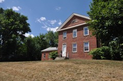 Giles Barber Houselisted 1988 · 0.2 miles away
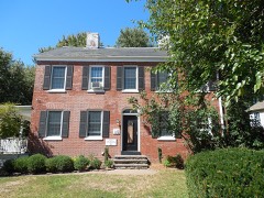 Elijah Mills Houselisted 1985 · 0.4 miles away
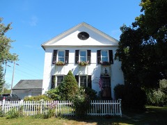 Oliver W. Mills Houselisted 1982 · 0.7 miles away
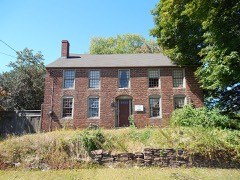 Capt. Benjamin Allyn II Houselisted 1979 · 0.7 miles away
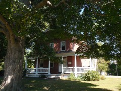 Timothy Dwight Mills Houselisted 1988 · 0.7 miles away
- Fuller Brush Company Factory Complexlisted 2025 · 0.8 miles away
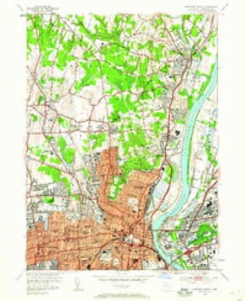
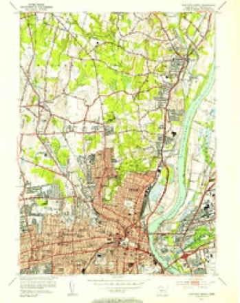
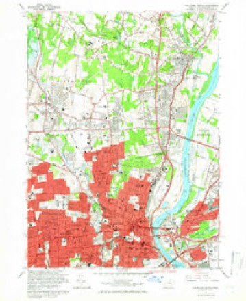
Topographic sheets covering this place
14 surveys from 35 printed sheetsMatched by testing this settlement's coordinate against the published boundary of every sheet in the United States Geological Survey's historical collection. Each opens the scanned sheet at the Survey.
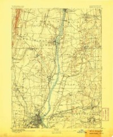
- 1892 USGS Hartford quadrangle1:62500, 8 printings
- 1906 USGS Farmington quadrangle1:125000, 2 printings
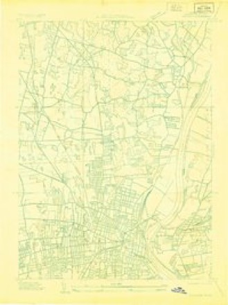
- 1928 USGS Windsor quadrangle1:24000
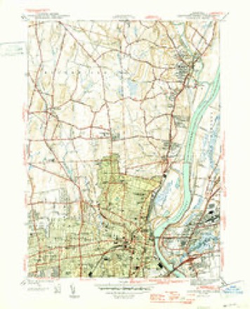
- 1945 USGS Hartford North quadrangle1:31680, 2 printings
- 1947 USGS Hartford quadrangle1:250000, 2 printings
- 1948 USGS Hartford quadrangle1:250000, 2 printings
- 1952 USGS Hartford North quadrangle1:24000
- 1952 USGS Hartford North quadrangle1:31680, 2 printings
- 1961 USGS Hartford quadrangle1:250000
- 1962 USGS Hartford quadrangle1:250000, 3 printings
- 1964 USGS Hartford North quadrangle1:24000, 6 printings
- 1965 USGS Hartford quadrangle1:250000, 2 printings
- 1986 USGS Hartford quadrangle1:100000
- 1994 USGS Hartford quadrangle1:100000, 2 printings








In the county-history sources
26,706 words on this townshipThe Memorial History of Hartford County, Connecticut, 1633-1884;, published 1886 names this settlement in its chapter on Windsor Town. These are the passages that mention it, exactly as the scans read.
Witchfield, Mr. John Branker, the " schoolmaster," and Mr. William Hosford were ruling elders. These are mentioned by Mr. Henry Wolcott, in his shorthand manuscript, as delivering sometimes the y " weekly lecture." But as time then President of Harvard College, was recommended to the churcli by no less men than the Rev. John Wilson, of Boston, and the Rev. Richard Mather, of Dorchester, as a man of "- learning, studious diligence, hopeful piety and grace, and peaceable demeanor." But his election depended on the votes of the town, and for some reason strong opposition was made to his settlement. An appeal was made at length to the General Court, which body then liad a sort of episcopal jurisdiction over the churches, and it was ordered, Oct. 10, 1667: -
Passage source: The Memorial History of Hartford County, Connecticut, 1633-1884;, published 1886.
Mr. William Phelps (1636), from Dorcliester, had a lot granted to him six rods wide, next north of Rosseter. Here he probably lived at first, but he early removed to tlie liigh ground overlooking his meadow lot, which he bought of the Indians ''about 1635." He had one son and one daughter born here, and four sons born before he came here. He died, 1672. Of his sons, William married Isabelle Wilson, 16-15, and for a second wife, Sarah, daughter of Humphrey Pinney. He had no children. He died, 1682. Samuel married Sarah, daughter of Edward Griswold, 1650. He had six sons and four daughters. He bought John Bartlett's house at Poquonnock, where he died, 1669. Nathaniel married Elizabeth Copley, 1650, and had two daughters born here. He lived at the Orton place, near his father, but removed to Northampton. Joseph married Mary Newton, 1660, and had one son and one daughter born here, and two sons and one daugliter born at Simsbury. He had a house west of his brother William, near the present Poquonnock road, which he sold, 1668, to John Gillett. He died, 1684. Timothy married Mary, daughter of Edward Griswold, 1661, and had six sons and two daughters. He had his fiither's homestead.
Passage source: The Memorial History of Hartford County, Connecticut, 1633-1884;, published 1886.
William Thrall (1637) had a lot granted to him thirteen rods wide. He had two children. "William Thrall and Robert "Wilson bought Simon Hoyte's place in Hoyte's Meadow, 1646, and divided the house and land in the middle, and both families lived there until 1654, when Thrall bought out "Wilson. Thrall died, 1678. His son Timothy (born 1631) married Deborah, daughter of Thomas Gunn, 1659, and had five sons and four daughters. He had his father's homestead.
Passage source: The Memorial History of Hartford County, Connecticut, 1633-1884;, published 1886.
Machine-read from a century-old scan, so expect the errors a machine makes: misspelled names, dropped words, stray characters.
Read the whole chapter on Windsor Town - it names this place 2 more 2 times.
Fires near this place
13 since 1992Regional context, not property-specific evidence. The federal wildfire occurrence database lists 13 fires within 5 miles of Wilson between 1992 and 2012, burning about 74 acres in total. None started naturally. 4 were recorded as arson. Distance is straight-line from the map coordinates, so a fire counted here may appear on a neighbouring settlement's page as well.
| Reported cause | Fires |
|---|---|
| Missing data/not specified/undetermined | 5 |
| Arson/incendiarism | 4 |
| Debris and open burning | 3 |
| Misuse of fire by a minor | 1 |
The most recent of them, most recent first, with the day each was reported and the service that recorded it.
| Date | Cause | Size | Reported by | Name on the report |
|---|---|---|---|---|
| 12 June 2012 | Misuse of fire by a minor | under an acre | Connecticut Division of Forestry | BLOOMFIELD |
| 7 May 1992 | Arson/incendiarism | 1.5 acres | Connecticut Division of Forestry | not named |
| 13 May 2012 | Missing data/not specified/undetermined | under an acre | Connecticut Division of Forestry | BLOOMFIELD |
| 30 April 1992 | Arson/incendiarism | 50 acres | Connecticut Division of Forestry | not named |
| 18 April 2005 | Missing data/not specified/undetermined | 3.0 acres | Connecticut Division of Forestry | not named |
| 17 April 2002 | Arson/incendiarism | 12 acres | Connecticut Division of Forestry | not named |
| 16 April 2012 | Missing data/not specified/undetermined | 1.0 acres | Connecticut Division of Forestry | BLOOMFIELD |
| 10 April 1992 | Arson/incendiarism | 2.0 acres | Connecticut Division of Forestry | not named |
Settlements close enough to share some of these fires:
Mines and quarries near this place
10 of 11 shownRegional context, not property-specific evidence. The federal mineral resources record lists 11 workings within 5 miles of Wilson: 4 past producers, 4 producers, 2 plants, 1 unknown. 6 still produce. What was taken out: Sand and Gravel, Construction, Clay, Iron, Corundum. Distance is straight-line from the map coordinates, so a quarry counted here may appear on a neighbouring settlement's page as well.
| Where | Site | Commodity | Status | Recorded |
|---|---|---|---|---|
| Abbott Ball Co/ Hartford, Ct. | Corundum | Plant | ||
| American Steel & Aluminum/Hartford | Iron | Plant | ||
| K-F Pit | Clay, Stone, Crushed/Broken | Producer | ||
| South Windsor | Bloating Material | Past Producer | Sedimentary | |
| Clay Pits No. Ci-007 | Clay | Producer | Clay | |
| Claypits No. Ci-008 | Clay | Producer | Clay | |
| K-F Pit | Clay | Past Producer | Sedimentary | |
| Russo Brothers Pit | Sand and Gravel, Construction | Past Producer | Sedimentary | |
| Russo Brothers Pit | Sand and Gravel, Construction | Past Producer | ||
| South Windsor Pit | Sand and Gravel, Construction | Unknown |
Storms near this place
1 since 2018Regional context, not property-specific evidence. The National Weather Service names Wilson in 1 storm report in 2018: 1 thunderstorm wind. No death or injury is recorded in these reports. Each account below is quoted exactly as the forecast office filed it, from the NOAA Storm Events Database, and each date opens the federal record of that event.
| When | Event | Place named | Harm | What the report says |
|---|---|---|---|---|
| October 2018 | Thunderstorm Wind | Wilson | $1,000 | At 4:40 PM EST, a tree was down on Weston Street at West Service Road. |
Nearest settlements
The eight closest, with where each one stands in the county. Distances are straight-line, computed from the Geographic Names Information System coordinates.
| Map | Place | Distance | Sheets |
|---|---|---|---|
| Stowe Village Housing Project | 1.4 miles | 35 | |
| South Windsor | 2.1 miles | 35 | |
| Cottage Grove | 2.1 miles | 35 | |
| Blue Hills | 2.1 miles | 35 | |
| Burnham | 2.3 miles | 35 | |
| Windsor | 2.9 miles | 35 | |
| East Hartford | 3.2 miles | 35 | |
| Coachlight Village | 3.3 miles | 35 |
Provenance
This settlement is recorded in the Geographic Names Information System as feature 212166. The sheet list is computed by point-in-boundary test against the United States Geological Survey's historical topographic inventory. Both are works of the United States government and carry no copyright under 17 U.S.C. 105.
Wildfire. Short, Karen C. 2022. Spatial wildfire occurrence data for the United States, 1992-2020 [FPA_FOD_20221014]. 6th Edition. Fort Collins, CO: Forest Service Research Data Archive. https://doi.org/10.2737/RDS-2013-0009.6 Collected with United States Government funding and usable without additional permissions or fees.
Mines and quarries. USGS Mineral Resources Data System (MRDS) https://mrdata.usgs.gov/mrds/ A work of the United States government, no copyright under 17 U.S.C. 105.
Storms. NOAA National Centers for Environmental Information, Storm Events Database https://www.ncei.noaa.gov/stormevents/ A work of the United States government, no copyright under 17 U.S.C. 105. Narratives are quoted verbatim from the National Weather Service report and are not edited or summarised.