 Block
Woodtick, Connecticut
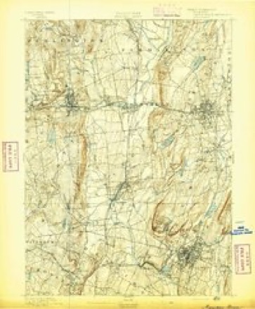
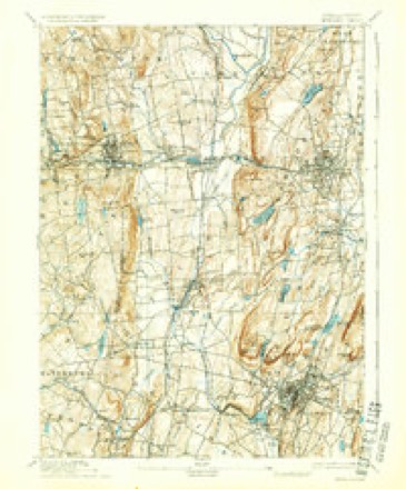
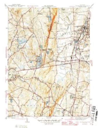
34 topographic sheets cover this place, the earliest surveyed in 1892 and the latest in 1994. It stands in Wolcott town. It lies in ZIP code area 06716. It lies near Wolf Hill. The Survey maps it on the Southington quadrangle.
On record in Woodtick
Buildings and businesses the archive holds for this place. Each opens its own page, with the source record it came from.
On the National Register within a mile 1 record
The National Register names another town for these. They stand within one mile of this settlement's coordinate.
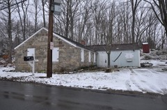 Southwest District Schoollisted 1982 · 0.4 miles away
Topographic sheets covering this place
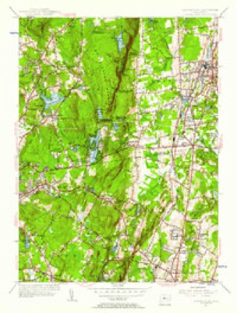
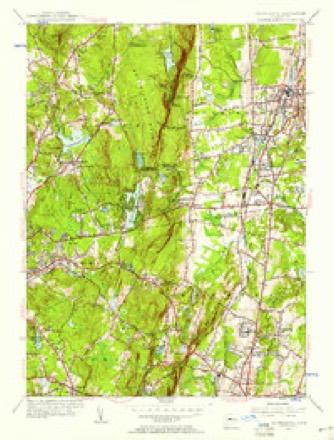
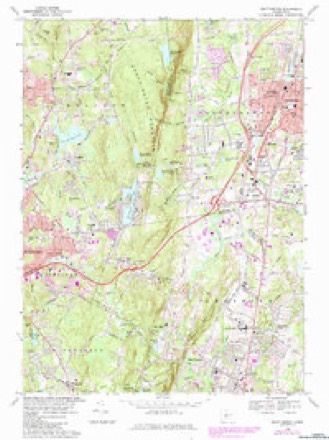
14 surveys from 34 printed sheetsMatched by testing this settlement's coordinate against the published boundary of every sheet in the United States Geological Survey's historical collection. Each opens the scanned sheet at the Survey.
- 1892 USGS Meriden quadrangle1:62500
- 1893 USGS Meriden quadrangle1:62500, 10 printings
- 1906 USGS Farmington quadrangle1:125000, 2 printings
- 1946 USGS Southington quadrangle1:31680
- 1947 USGS Hartford quadrangle1:250000, 2 printings
- 1948 USGS Hartford quadrangle1:250000, 2 printings
- 1955 USGS Southington quadrangle1:31680
- 1955 USGS Southington quadrangle1:24000
- 1961 USGS Hartford quadrangle1:250000
- 1962 USGS Hartford quadrangle1:250000, 3 printings
- 1965 USGS Hartford quadrangle1:250000, 2 printings
- 1968 USGS Southington quadrangle1:24000, 5 printings
- 1986 USGS Hartford quadrangle1:100000
- 1994 USGS Hartford quadrangle1:100000, 2 printings








What happened here
An account from the chapter on Wolcott town. The inset identifies its exact source book and publication year.
Biographical Sketches
Samuel M. Bailey, born in Wolcott, in 1831, is a son of Luther and grandson of James Bailey, who served in the war of the revolution and held a lieutenant's commission. He was twice married, his second wife being Phebe Pomeroy. Their son, Luther, married for his first wife, Henrietta Brockett. They had three children: Samuel M., Sarah and Hobart L., who enlisted in the 7th Connecticut Volunteers and was killed at the battle of the Wilderness.
In the county-history sources
9,291 words on this townshipHistory of New Haven County, Connecticut, published 1892 names this settlement in its chapter on Wolcott Town. These are the passages that mention it, exactly as the scans read.
In 1732 Isaac Hopkins settled in the valley east of Chestnut hill, residing on his farm until his death. At Wolcott Center Benjamin Harrison lived as early as 1739, his land adjoining that of Isaac Hopkins. Their neighbors later in the valley southwest of Wolcott Center were: Elijah Frisbie, Howard Pritchard and Eldad Mix, before 1760; Joseph Parker, Joseph Sutliff, Gehulah Grilley and Timothy Scott, before 1770. Thomas Welton, Eliakim Welton and Shadrach Benham settled on Spindle hill some time after 1732. In the neighborhood of Woodtick were as early settlers Judah Frisbie, Amos Seward and the Upsons. Joseph Atkins came to the Mad River valley in 1758; Wait Hotchkiss, Abel Curtiss, Isaac Twitchell and Joseph Beach came to
Passage source: History of New Haven County, Connecticut, published 1892.
About 20 rods below that place, on the same stream, was Joseph Atkin's grist mill, put up about 1760 and which was for about a score of years the only one in the society of Farmingbury. Thomas Upson and Streat Richards were later owners, the property passing from the latter, in 1800, to Isaac Upson. Still later the mill was removed to Woodtick and its site was occupied by a small carding- mill. This was discontinued and the power subsequently was used solely by a saw mill. The Mill Place afforded many natural advantages and, it is said, that had Seth Thomas been properly encouraged in that undertaking sometime about 1800, he would have begun the enterprise which transformed Plymouth Hollow into the thriving village of Thomaston. He lived in Wolcott about that time, as a carpenter, and was noted for his energy and persistence of purpose. He saw clearly the possibility of changing these quiet vales into scenes of manufacturing activity, but could not sufficiently impress the citizens of Wolcott with the idea and the opportunity passed away, not again to offer itself.
Passage source: History of New Haven County, Connecticut, published 1892.
On the Mad river, at Woodtick, Judah Frisbie and others had a saw mill as early as 1776, and after 1800 the site became the property of the Upsons, and the power was later used to operate a grist mill, which was widely known as Todd's. Clocks were afterward made in that building by Charles Kirk, but in 1857 it was converted into a paper mill, which was operated by a joint stock company. After a number of years work was suspended and the place was idle. The property now passed to Gustave Cornells, who, in 1885, improved it for silver plating works. These were successfully carried on until December, 1890, when the buildings were burned, and since that time the town has again been without any manufacturing, other than the operation of a few lumber mills.
Passage source: History of New Haven County, Connecticut, published 1892.
Machine-read from a century-old scan, so expect the errors a machine makes: misspelled names, dropped words, stray characters.
Read the whole chapter on Wolcott Town - it names this place 3 more 3 times.
Fires near this place
79 since 1992Regional context, not property-specific evidence. The federal wildfire occurrence database lists 79 fires within 5 miles of Woodtick between 1992 and 2020, burning about 175 acres in total. None started naturally. 23 were recorded as arson. Distance is straight-line from the map coordinates, so a fire counted here may appear on a neighbouring settlement's page as well.
| Reported cause | Fires |
|---|---|
| Missing data/not specified/undetermined | 29 |
| Arson/incendiarism | 23 |
| Debris and open burning | 10 |
| Misuse of fire by a minor | 9 |
| Recreation and ceremony | 5 |
| Smoking | 2 |
| Equipment and vehicle use | 1 |
The most recent of them, most recent first, with the day each was reported and the service that recorded it.
| Date | Cause | Size | Reported by | Name on the report |
|---|---|---|---|---|
| 8 August 2001 | Missing data/not specified/undetermined | under an acre | Connecticut Division of Forestry | not named |
| 7 August 2001 | Missing data/not specified/undetermined | under an acre | Connecticut Division of Forestry | not named |
| 7 August 2001 | Debris and open burning | 1.0 acres | Connecticut Division of Forestry | not named |
| 21 August 2020 | Missing data/not specified/undetermined | 1.4 acres | Connecticut Division of Forestry | FROST BRIDGE ROAD |
| 8 July 2010 | Missing data/not specified/undetermined | under an acre | Connecticut Division of Forestry | not named |
| 11 July 1993 | Misuse of fire by a minor | 2.0 acres | Connecticut Division of Forestry | not named |
| 15 June 2015 | Missing data/not specified/undetermined | under an acre | Connecticut Division of Forestry | not named |
| 9 May 1995 | Misuse of fire by a minor | 1.0 acres | Connecticut Division of Forestry | not named |
Settlements close enough to share some of these fires:
Mines and quarries near this place
10 of 28 shownRegional context, not property-specific evidence. The federal mineral resources record lists 28 workings within 5 miles of Woodtick: 19 past producers, 8 producers, 1 unknown. 8 still produce. What was taken out: Sand and Gravel, Construction, Barium-Barite, Stone, Crushed/Broken, Stone, Dimension. Distance is straight-line from the map coordinates, so a quarry counted here may appear on a neighbouring settlement's page as well.
| Where | Site | Commodity | Status | Recorded |
|---|---|---|---|---|
| New Haven Mineral Co. Barite Mine | Barium-Barite, Copper, Silver, Strontium | Past Producer | Barite | |
| Bogue Mill | Stone, Crushed/Broken | Unknown | Surface | |
| Cheshire Quarry | Stone, Dimension | Past Producer | ||
| Crushed Diabase Rock Quarry No. Dj- | Stone, Dimension | Past Producer | ||
| Crushed Diabase Rock Quarry No. Dj-014 | Stone, Crushed/Broken | Past Producer | Diabase | |
| Crushed Diabase Rock Quarry No. Dj-016 | Stone, Crushed/Broken | Past Producer | Diabase | |
| Diabase Rock Quarry No. Dj-0 | Stone, Dimension | Past Producer | ||
| Barite Mine | Barium-Barite | Past Producer | ||
| Barite Mine No. Dj.010 | Barium-Barite | Past Producer | ||
| Barite Occurrence No. Dj-010 | Barium-Barite | Past Producer | Barite |
Storms near this place
4 since 2009Regional context, not property-specific evidence. The National Weather Service names Woodtick in 4 storm reports between 2009 and 2025: 3 hail, 1 thunderstorm wind. No death or injury is recorded in these reports. Each account below is quoted exactly as the forecast office filed it, from the NOAA Storm Events Database, and each date opens the federal record of that event.
| When | Event | Place named | Harm | What the report says |
|---|---|---|---|---|
| September 2025 | Thunderstorm Wind | Woodtick | $3,000 | Eversource reports a power outage caused by tree damage on Val Court in Wolcott. |
| July 2009 | Hail | Woodtick | - | Penny size hail was reported by a trained spotter. |
| July 2009 | Hail | Woodtick | - | Nickel size hail was reported by a trained spotter. |
| July 2009 | Hail | Woodtick | - | Penny to nickel size hail was reported by a trained spotter. |
Nearest settlements
The eight closest, with where each one stands in the county. Distances are straight-line, computed from the Geographic Names Information System coordinates.
| Map | Place | Distance | Sheets |
|---|---|---|---|
| Wolcott | 1.7 miles | 34 | |
| East Farms | 2.3 miles | 34 | |
| Mill Plain | 2.5 miles | 33 | |
| Long Hill | 2.5 miles | 33 | |
| Fair Lawn | 2.6 miles | 33 | |
| Lakewood | 2.7 miles | 33 | |
| Burnt Hill | 3.0 miles | 33 | |
| Overlook | 3.8 miles | 33 |
Provenance
This settlement is recorded in the Geographic Names Information System as feature 212266. The sheet list is computed by point-in-boundary test against the United States Geological Survey's historical topographic inventory. Both are works of the United States government and carry no copyright under 17 U.S.C. 105.
Wildfire. Short, Karen C. 2022. Spatial wildfire occurrence data for the United States, 1992-2020 [FPA_FOD_20221014]. 6th Edition. Fort Collins, CO: Forest Service Research Data Archive. https://doi.org/10.2737/RDS-2013-0009.6 Collected with United States Government funding and usable without additional permissions or fees.
Mines and quarries. USGS Mineral Resources Data System (MRDS) https://mrdata.usgs.gov/mrds/ A work of the United States government, no copyright under 17 U.S.C. 105.
Storms. NOAA National Centers for Environmental Information, Storm Events Database https://www.ncei.noaa.gov/stormevents/ A work of the United States government, no copyright under 17 U.S.C. 105. Narratives are quoted verbatim from the National Weather Service report and are not edited or summarised.