Listed on the National Register of Historic Places in 2001.
From the record
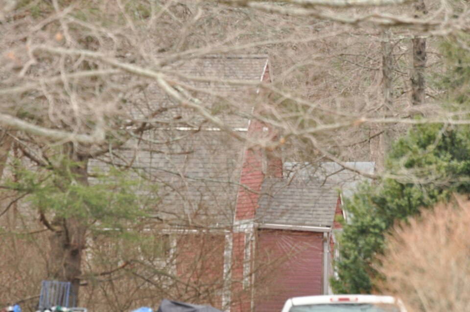
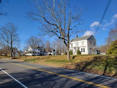
“The Cady-Copp House is an historic house at 115 Liberty Highway in Putnam, Connecticut. Built about 1745 and little altered since, it is an important regional example of vernacular colonial architecture.”
Wikipedia article Cady-Copp House, CC BY-SA 4.0.
One of 82 National Register listings published here for Windham County · listed in 2001 · category: Building.
National Register reference number.01000939- the number the National Park Service assigned this property when it was listed, and the key its nomination file is catalogued under at the National Archives.
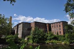
THE township of Putnam, incorporated in 1855, was made up from parts of Thompson, Killingly and Pomfret. The Quinebaug river, with its great falls in the heart of the village, is its most distinctive physical feature, its main source of life and business prosperity. Manufacturing enterprise, aided by railroads, built up a flourishing village. This village demanded expansion and the liberty to manage its own affairs, and after a desperate struggle obtained town privileges, taking in as much surrounding territory as was needful to give it corporate standing, and by running its south boundary line obliquely, cutting off barren land eastward. This funnel-like conformation of the projected town excited much ridicule during the contest, and it is said that its pictorial presentation before the legislature had much influence in procuring the rejection of the early petitions. But while the manufacturing interests of the town are strongly dominant, Putnam is by no means deficient in agricultural resources. With improved culture and immediate market, farming has made great advances. Dairying and market gardening are remunerative industries. There are many good farms in the vicinity of the valley and in the former South Neighborhood. The Assawaga or Five Mile river in the east of the town furnishes a number of mill privileges. The recent
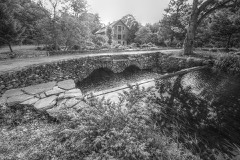
Though Putnam is. one of the youngest towns in Windham county, and is pre-eminently a growth of modern civilization, its roots reach far backward. The High Falls were noted far back in aboriginal days. The surrounding valley was a favorite resort of the red man long before Lieutenant John Sabin crossed the Woodstock line into the wilderness of Connecticut. An Indian trail ran southeast from the falls toward Rhode Island before Peter Aspinwall cut his way through the woods to make a path to Providence. The "Joseph Cady farm," east of Putnam village (now owned by Mr. Eli Davis), was noted for producing a remarkable variety and quantity of medicinal herbs and roots, much used by the "medicine men" of the Indians. It is traditionally reported that Indians came from a great distance to gather these herbs, and that in consequence this locality was made a sacred haven, where no bloodshed was lawful, and tribal foes might meet in safety. The Falls were noted for their remarkable facilities for fishing, especially when shad and salmon were trying to ascend them.
Regional context, not property-specific
evidence. The
federal wildfire occurrence database
lists 216 fires within 5 miles of Cady-Copp House
between 1992 and 2020, burning about 418 acres in total. None started naturally. 30 were recorded as arson.
Distance is straight-line from the map coordinates, so a fire counted
here may appear on a neighbouring settlement's page as well.
Reported cause
Fires
Missing data/not specified/undetermined
125
Arson/incendiarism
30
Recreation and ceremony
18
Misuse of fire by a minor
18
Debris and open burning
14
Smoking
6
Equipment and vehicle use
3
Railroad operations and maintenance
2
The most recent of
them, most recent first, with the day each was reported and the service
that recorded it.
Regional context, not property-specific
evidence. The federal mineral resources record lists
9 workings within 5 miles of Cady-Copp House: 4 producers, 3 past producers, 2 unknowns.
4 still produce. What was taken out: Sand and Gravel, Construction, Stone, Dimension, Stone, Crushed/Broken. Distance is straight-line from the
map coordinates, so a quarry counted here may appear on a neighbouring
settlement's page as well.
Regional context, not property-specific
evidence. The National Weather Service names
Putnam, the town this property stands in, in 8 storm reports between 1993 and 2024: 3 thunderstorm wind, 3 hail, 1 flash flood, 1 lightning.
No death or injury is recorded in these reports. Each account below is quoted exactly as the forecast office
filed it, from the NOAA Storm Events Database, and each date
opens the federal record of that event.
No historic map-sheet match is published
for this property yet. That does not mean no map exists. This record needs
a coordinate-quality review before it can be joined to a sheet boundary.
Browse the county's mapped places while that work is
pending.
Listed places nearby
6 within 8 miles
Other National Register properties close
enough to walk or drive between, ordered by distance from this one. Both
positions come from the same geocoding pass that matched these properties
to their map sheets.
Listing record. National Park Service National Register of Historic Places, listed-properties dataset, current to 2026-05-22.
Map join. Address geocoded through the United States Census geocoder, then tested against the published boundary of every sheet in the USGS Historical Topographic Map Collection.
How this page is made. Listing fields come from federal records; map-sheet coverage is a labelled coordinate-to-boundary calculation, not a source-field claim.
Wildfire. Short, Karen C. 2022. Spatial wildfire occurrence data for the United States, 1992-2020 [FPA_FOD_20221014]. 6th Edition. Fort Collins, CO: Forest Service Research Data Archive. https://doi.org/10.2737/RDS-2013-0009.6 Collected with United States Government funding and usable without additional permissions or fees.
Mines and quarries. USGS Mineral Resources Data System (MRDS) https://mrdata.usgs.gov/mrds/ A work of the United States government, no copyright under 17 U.S.C. 105.
Storms. NOAA National Centers for Environmental Information, Storm Events Database https://www.ncei.noaa.gov/stormevents/ A work of the United States government, no copyright under 17 U.S.C. 105. Narratives are quoted verbatim from the National Weather Service report and are not edited or summarised.
 Block