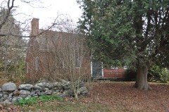
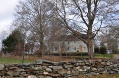
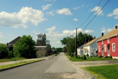
Listed on the National Register of Historic Places in 1972.
From the record
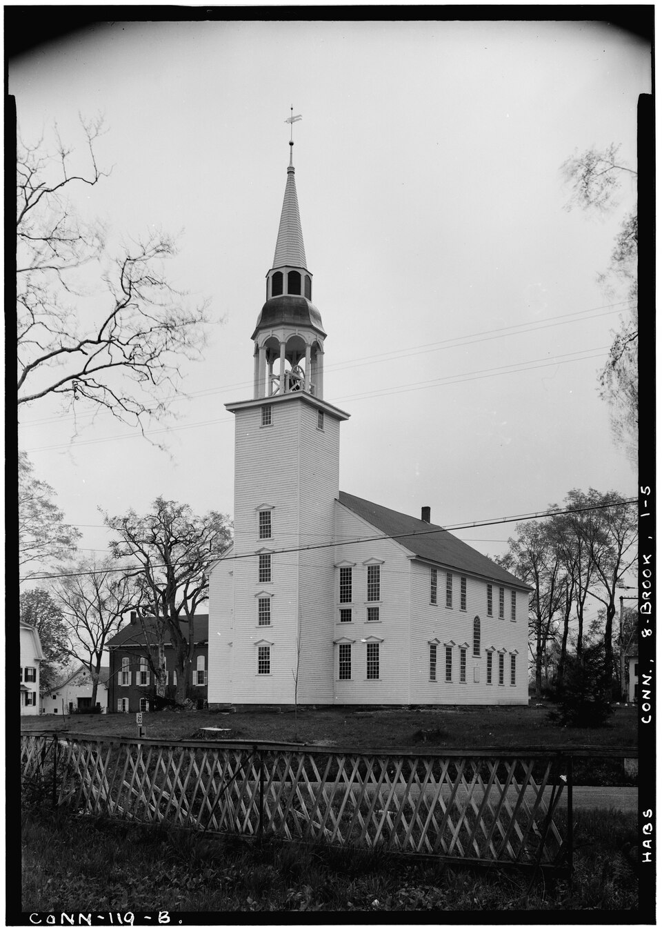
“The Unitarian Meetinghouse is a historic church at the junction of Connecticut Routes 169 and 6 in the village center of Brooklyn, Connecticut. Built in 1771, it is one of a small number of pre-Revolutionary church buildings in the state, and distinctive for having a sufficiently complete documentary record to support a complete restoration.”
Wikipedia article Unitarian Meetinghouse, CC BY-SA 4.0.
One of 82 National Register listings published here for Windham County · listed in 1972 · category: Building.
National Register reference number.72001335- the number the National Park Service assigned this property when it was listed, and the key its nomination file is catalogued under at the National Archives.
In 1703, Richard Adams, of Preston, obtained, for two hundred pounds, from Major Fitch, a deed of three thousand acres of wilderness land, south of Blackwell's tract. Its bound began at the junction of the Five-Mile and Quinebaug rivers, extending west on Blackwell's line to a pine tree marked B, by the side of Blackwell's brook, and beyond it ; thence south four hundred and eighty perches ; thence east to the Quinebaug, where Beaver brook empties into it. Richard Adams, Jr., appears to have made a settlement on this tract, even before the deed of conveyance was executed, and was the fi^st settler within the limits of the township granted to Blackwell, and the present, town of Brooklyn. His wife was a daughter of Daniel Cady, of Aspinock. Their homestead was in the depths of a dense wilderness, much infested with wild beasts and Indians, about a mile southeast of the site of the present Brooklyn Green. A colony of beavers held possession of the brook adjoining. Richard Adams was numbered with the inhabitants of Plainfield in 1701 ; in 1703 assisted in the organization of Canterbury, and was claimed for many years as an inhabitant of that township.
In 1714 the vacant land between Pomfret and Canterbury was divided between these townships, and thus the land south of Mortlake, owned by Adams, Chandler and Stoddard, came under the jurisdiction of Pomfret. Richard Adams was chosen selectman in 1715, and by a very clear vote, the town made over to him all their right and title to his land as to property. The settlement of this section was somewhat quickened by its annexation to Pomfret. Daniel Cady, of Killingiy, father of Mrs. Richard Adams, bought six hundred acres of land near Tatnick hill, of Jabez Allen, in 1714, and settled there with a large family of sons and daughters. James Cady, of Marlborough, purchased land of Richard Adams in 1716. John, Joseph and Daniel Adams then took possession of their allotments, and threw part of them into rnarket. Sixty acres now included in Brooklyn village were sold by Joseph Adams in 1718, to Samuel Spalding. John Adams sold homesteads to Jabez Spicer, John Hubbard, Daniel Adams, a farm to vSamuel Head. The twentyfive hundred acres of land between the Adams and Stoddard tracts were sold by Captain Chandler for ;£'190, to Joseph Otis, of Scituate, in 1715. Its eastern half was sold out in farms to the Reverend Ebenezer Williams, Ebenezer Whiting, Samuel Spalding, Jonathan Cady and Josiah Cleveland, in 1719 ; the western half was purchased by Stephen Williams, Joseph Davison, and Joseph Holland, in 1723. The Stoddard tract remained for many years in the hands of its non-resident owner, save a f^w hundred acres, sold in 1719 to Abiel Cheney, Benjamin Chaplin, of Lynn, Samuel Gardner and Samuel Pellet. Chaplin and Pellet also purchased land of Major *Fitch, and were the first settlers of the southwestern corner of Pomfret.
Regional context, not property-specific
evidence. The
federal wildfire occurrence database
lists 70 fires within 5 miles of Unitarian Meetinghouse
between 1993 and 2020, burning about 31 acres in total. None started naturally. 2 were recorded as arson.
Distance is straight-line from the map coordinates, so a fire counted
here may appear on a neighbouring settlement's page as well.
Reported cause
Fires
Missing data/not specified/undetermined
46
Recreation and ceremony
13
Debris and open burning
6
Arson/incendiarism
2
Smoking
2
Power generation/transmission/distribution
1
The most recent of
them, most recent first, with the day each was reported and the service
that recorded it.
Regional context, not property-specific
evidence. The federal mineral resources record lists
6 workings within 5 miles of Unitarian Meetinghouse: 3 producers, 2 past producers, 1 unknown.
3 still produce. What was taken out: Sand and Gravel, Construction, Stone, Crushed/Broken, Granite. Distance is straight-line from the
map coordinates, so a quarry counted here may appear on a neighbouring
settlement's page as well.
Regional context, not property-specific
evidence. The National Weather Service names
Brooklyn, the town this property stands in, in 7 storm reports between 2005 and 2025: 5 thunderstorm wind, 2 hail.
No death or injury is recorded in these reports. Each account below is quoted exactly as the forecast office
filed it, from the NOAA Storm Events Database, and each date
opens the federal record of that event.
In Brooklyn, the Fire Department reported a tree and wires down on Tatnic Hill Road at Tripp Hollow Road. Also, there was a spotter report of a 10-inch diameter tree was snapped 10 to 15 feet up...but the street was unknown.
No historic map-sheet match is published
for this property yet. That does not mean no map exists. This record needs
a coordinate-quality review before it can be joined to a sheet boundary.
Browse the county's mapped places while that work is
pending.
Listed places nearby
6 within 8 miles
Other National Register properties close
enough to walk or drive between, ordered by distance from this one. Both
positions come from the same geocoding pass that matched these properties
to their map sheets.
Listing record. National Park Service National Register of Historic Places, listed-properties dataset, current to 2026-05-22.
Map join. Address geocoded through the United States Census geocoder, then tested against the published boundary of every sheet in the USGS Historical Topographic Map Collection.
How this page is made. Listing fields come from federal records; map-sheet coverage is a labelled coordinate-to-boundary calculation, not a source-field claim.
Wildfire. Short, Karen C. 2022. Spatial wildfire occurrence data for the United States, 1992-2020 [FPA_FOD_20221014]. 6th Edition. Fort Collins, CO: Forest Service Research Data Archive. https://doi.org/10.2737/RDS-2013-0009.6 Collected with United States Government funding and usable without additional permissions or fees.
Mines and quarries. USGS Mineral Resources Data System (MRDS) https://mrdata.usgs.gov/mrds/ A work of the United States government, no copyright under 17 U.S.C. 105.
Storms. NOAA National Centers for Environmental Information, Storm Events Database https://www.ncei.noaa.gov/stormevents/ A work of the United States government, no copyright under 17 U.S.C. 105. Narratives are quoted verbatim from the National Weather Service report and are not edited or summarised.
 Block