BlockBefore
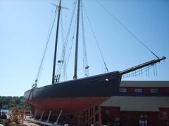
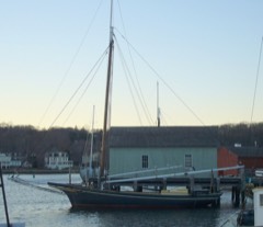
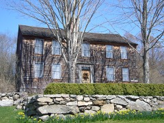
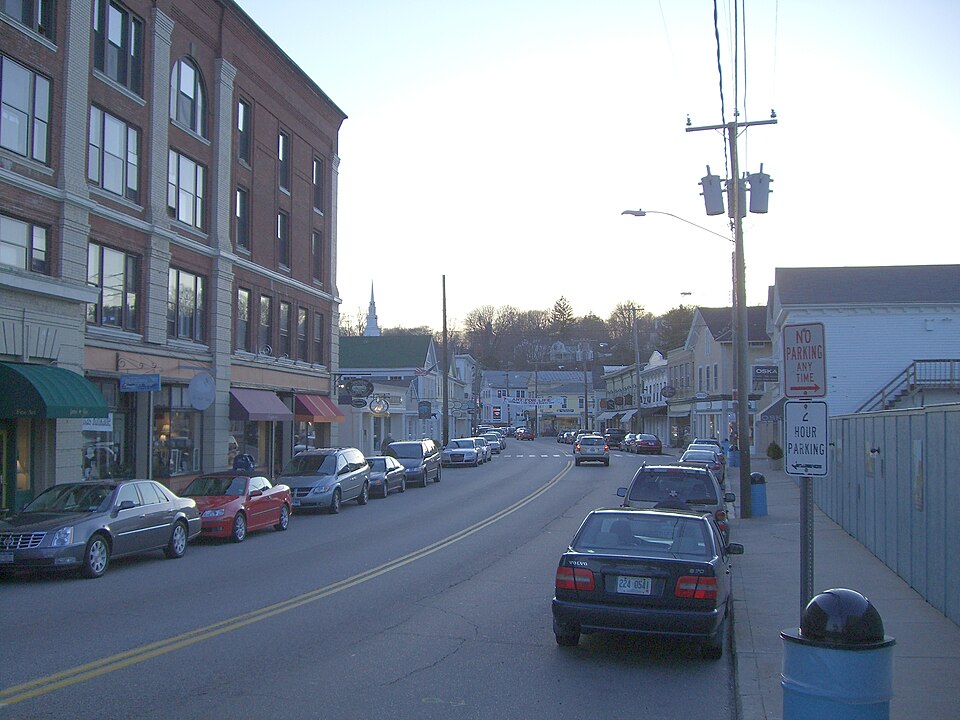
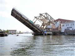
Photograph of Mystic River Historic District
Photograph by Monsieur dl mon talk - mon contribs, Public domain. Via Wikimedia Commons.

Mystic River Historic District

Listed on the National Register of Historic Places in 1979.

From the record

“The Mystic River Historic District encompasses the part of the village of Mystic, Connecticut that is on the Groton side of the Mystic River. The district was added to the National Register of Historic Places on August 24, 1979, approximately 235-acre (95 ha) which includes much of the village of West Mystic and many buildings from the 19th century.”

Wikipedia article Mystic River Historic District, CC BY-SA 4.0.

One of 197 National Register listings published here for New London County · listed in 1979 · category: District.

Sources: the Wikipedia article · the case file at the National Archives · the National Register database, National Park Service
The listing

  • Address. U.S. 1 and CT 215, West Mystic, 06355
  • When was it listed? August 1979
  • Category. district
  • Town. Groton town
  • National Register reference number. 79002728 - the number the National Park Service assigned this property when it was listed, and the key its nomination file is catalogued under at the National Archives.

The ground it stands on

15,472 words

The chapter on Groton Town in History of New London County, Connecticut, with Biographical Sketches of Many of Its Pioneers and Prominent Men, published 1882 names West Mystic. This is what it says, exactly as the scans read.

The iron bridge across Mystic Eiver, built at the close of the war, is a fine structure, and is another of the causes which helped to swell the town debt alluded to, which debt has been diminished to fifty-two thousand dollars, or nearly one-half, under the prudent administrations of successive boards of selectmen. Their best efforts are sometimes thwarted by the expense of new highways, which is only relieved by the possibility that there is so much added to the wealth and convenience of the town. And so the road from the Poquonoc Meeting-house to the railroad station, and thence to the Dark Hollow road, was provided for. The West Mystic Avenue streei (before the war) and the Eastern Point and the Bindloss crossroad followed. Two short roads at Noauk, the Pequot Hill road, and the erection of a brick lock-up at Mystic Eiver came next. The Walker cross-road at Groton Bank, the Forsyth ship-yard piece, the Bank Street road at Mystic' Eiver, and two short roads at Groton Bank soon followed. The short connection link from Town Clerk Avery's, south and the ice-house and Daniel C. Brown road, in 1878, have been followed by Monument and Centennial Streets at Groton Bank. The Eaymond Lamb road by and over Stark's Hill, and the short, ready-made Asa A. Avery road, complete the chapter on highways.

Passage source: History of New London County, Connecticut, with Biographical Sketches of Many of Its Pioneers and Prominent Men, published 1882.

Machine-read from a century-old scan, so expect the errors a machine makes: misspelled names, dropped words, stray characters.

Read the whole chapter on Groton Town - 15,472 words on its settlement, mills, schools and churches.

Mines and quarries near this property

10 of 23 shown

Regional context, not property-specific evidence. The federal mineral resources record lists 23 workings within 5 miles of Mystic River Historic District: 19 past producers, 4 producers. 4 still produce. What was taken out: Stone, Dimension, Sand and Gravel, Construction, Granite, Stone. Distance is straight-line from the map coordinates, so a quarry counted here may appear on a neighbouring settlement's page as well.

Where SiteCommodity StatusRecorded
Granite Rock Quarry No. Ak-016StonePast ProducerGranite
Quartzite and Gneiss Rock Quarry No. Ak-007StonePast ProducerGneiss
Eckerlein QuarriesGranitePast Producer
Granite Dike Rock Quarry #Ak-015GranitePast Producer
Granite QuarriesGranitePast Producer
Kapp QuarriesGranitePast Producer
Mcgaughey QuarryGranitePast Producer
Eckerlein Quartz Monzonite Rock QuarriesStone, DimensionPast Producer1855
Granite Dike Rock Quarry No. Ak-012Stone, DimensionPast ProducerGranite
Granite Dike Rock Quarry No. Ak-015Stone, DimensionPast ProducerGranite

Every working recorded in New London County

Storms near this property

3 since 2009

Regional context, not property-specific evidence. The National Weather Service names West Mystic, the town this property stands in, in 3 storm reports between 2009 and 2015: 2 thunderstorm wind, 1 flash flood. The reports record 1 death. Each account below is quoted exactly as the forecast office filed it, from the NOAA Storm Events Database, and each date opens the federal record of that event.

WhenEvent Place namedHarm What the report says
August 2015Thunderstorm WindWest Mystic1 killed, $10,000A tree fell on a car along Flanders Road, near U. S. Route 1. The driver, and sole occupant of the vehicle, was killed.
July 2009Flash FloodWest Mystic$50,000A river bridge on Collins Rd. in North Stonington was flooded, which resulted in damage to the bridge and the road being closed. Noank Rd. in Mystic was closed due to flooding. A river bridge on North Stonington Rd. near Shewville Rd. in North Stonington was flooded and resulted in the road being closed. Approximately 50-60 cars were inundated with water and trapped in the Mystic Aquarium parking lot. Several vehicles were also stuck in high water on Coogan Blvd. near the Mystic Aquarium. A portion of Rt. 1 in Mystic was closed due to flooding. Emergency responders in Stonington pulled an occupied vehicle out of the water in the area of Washington St. and Broadway Ave.
July 2015Thunderstorm WindWest Mystic$1,500A large branch fell on wires along Flanders Road.

Every storm recorded in New London County

Map coverage status

No historic map-sheet match is published for this property yet. That does not mean no map exists. This record needs a coordinate-quality review before it can be joined to a sheet boundary. Browse the county's mapped places while that work is pending.

Listed places nearby

6 within 8 miles

Other National Register properties close enough to walk or drive between, ordered by distance from this one. Both positions come from the same geocoding pass that matched these properties to their map sheets.

Photograph PropertyDistance Listed
Mystic Bridge Historic District0.5 miles1979
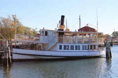
SABINO (steamer)0.6 miles1992
L. A. DUNTON0.6 miles1993
EMMA C. BERRY (Fishing Sloop)0.6 miles1994
CHARLES W. MORGAN0.7 miles1966
Pequotsepos Manor1.5 miles1979

Sources for this property

National Archives recordThe nomination case file for reference 79002728 in Record Group 79.
Wikipedia articleCommunity-written account of this property, licensed CC BY-SA.
New London CountyAll 197 listed properties in this county.

Provenance

  • Listing record. National Park Service National Register of Historic Places, listed-properties dataset, current to 2026-05-22.
  • Map join. Address geocoded through the United States Census geocoder, then tested against the published boundary of every sheet in the USGS Historical Topographic Map Collection.
  • How this page is made. Listing fields come from federal records; map-sheet coverage is a labelled coordinate-to-boundary calculation, not a source-field claim.
  • Mines and quarries. USGS Mineral Resources Data System (MRDS) https://mrdata.usgs.gov/mrds/ A work of the United States government, no copyright under 17 U.S.C. 105.
  • Storms. NOAA National Centers for Environmental Information, Storm Events Database https://www.ncei.noaa.gov/stormevents/ A work of the United States government, no copyright under 17 U.S.C. 105. Narratives are quoted verbatim from the National Weather Service report and are not edited or summarised.