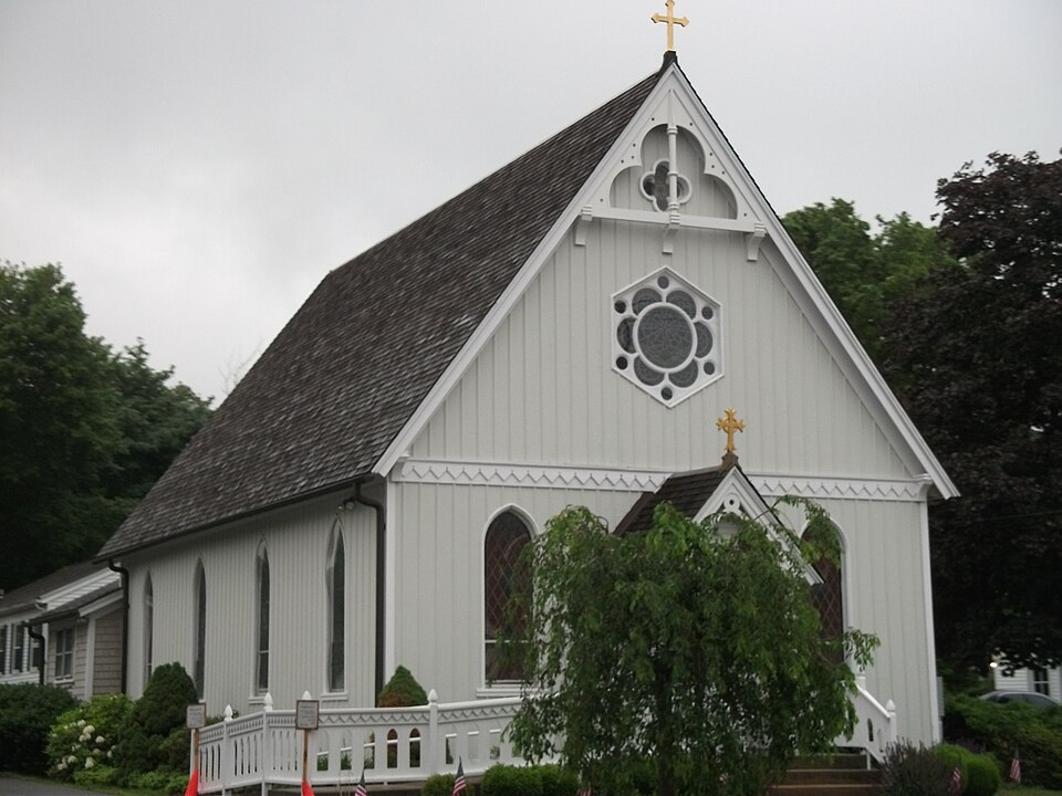
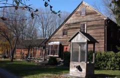
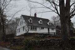
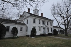
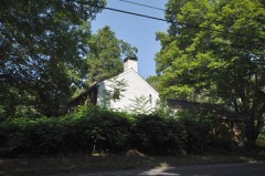
Listed on the National Register of Historic Places in 1994.
From the record
“The Clinton Village Historic District encompasses the historic portion of the town center of Clinton, Connecticut. It is roughly linear and extends along East Main Street from the Indian River in the west to Old Post Road in the east.”
Wikipedia article Clinton Village Historic District (Clinton, Connecticut), CC BY-SA 4.0.
One of 124 National Register listings published here for Middlesex County · listed in 1994 · category: District.
National Register reference number.94000788- the number the National Park Service assigned this property when it was listed, and the key its nomination file is catalogued under at the National Archives.
Main street, Clinton, is the original Killingworth, where the first settlers built their residences after laying out a street and locating 21 "homesteads." A committee from the General Court ordered and directed the affair. The persons who had pledged themselves to settle there, and signed a paper to that effect, were permitted to draw lots. Lot No. i was on the south side of Main street, next east of Indian River, and in front of the hill already selected as " Meeting House Hill." This lot was drawn by Thomas Smith and is now occupied and owned by George E. Elliott Esq. The 21st lot was drawn by Samuel Buel, and is located north of the residence of Henry A. Lyne. It was bounded on the north by the highway, which was the place of crossing the hill near where Mrs. John Buell lives. This road led up to the fording place on the Hammonassett River, above the crossing of the- Shore Line Railroad. There were no means of crossing the Hammonassett River, except by boats, until 1675 or 1676, when the bridge known so long as the " Farm Bridge " was built. For 12 years at least there was no communication with Guilford, except by fording or by boats. At the present time an iron bridge spans the Hammonassett River. It was built in 1882, at a cost of $2,200, one-half of which was paid by Madison and one-half by Clinton.
Clinton was set off from the town of Killingworth by a special act of the Legislature, at its May session in 1838, on the petition of Henry Taintor, David Dibbell, and others. The causes of the separation and complaints were that Killingworth had a great many roads to repair, and that it was too far for those freemen living in the South Society to go to attend town meetings in Killingworth. By mutual consent State elections were held in the South Society and town meetings in North Society. But the animus of the movements for separation was political dissatisfaction. The North Society was strong- , ly democratic and the South Society was as strongly whig It was difficult to transport voters from the South Society to the North Society to attend to town affairs, so that the voters of North Parish had the disposal of town affairs wholly in their own hands.
Regional context, not property-specific
evidence. The
federal wildfire occurrence database
lists 55 fires within 5 miles of Clinton Village Historic District
between 1992 and 2020, burning about 134 acres in total. None started naturally. None was recorded as arson.
Distance is straight-line from the map coordinates, so a fire counted
here may appear on a neighbouring settlement's page as well.
Reported cause
Fires
Missing data/not specified/undetermined
27
Recreation and ceremony
10
Debris and open burning
7
Smoking
3
Misuse of fire by a minor
3
Power generation/transmission/distribution
3
Railroad operations and maintenance
2
The most recent of
them, most recent first, with the day each was reported and the service
that recorded it.
Regional context, not property-specific
evidence. The federal mineral resources record lists
4 workings within 5 miles of Clinton Village Historic District: 2 past producers, 2 producers.
2 still produce. What was taken out: Sand and Gravel, Construction. Distance is straight-line from the
map coordinates, so a quarry counted here may appear on a neighbouring
settlement's page as well.
Regional context, not property-specific
evidence. The National Weather Service names
Clinton, the town this property stands in, in 2 storm reports between 2001 and 2012: 1 lightning, 1 hail.
The reports record 2 injuries. Each account below is quoted exactly as the forecast office
filed it, from the NOAA Storm Events Database, and each date
opens the federal record of that event.
No historic map-sheet match is published
for this property yet. That does not mean no map exists. This record needs
a coordinate-quality review before it can be joined to a sheet boundary.
Browse the county's mapped places while that work is
pending.
Listed places nearby
6 within 8 miles
Other National Register properties close
enough to walk or drive between, ordered by distance from this one. Both
positions come from the same geocoding pass that matched these properties
to their map sheets.
Listing record. National Park Service National Register of Historic Places, listed-properties dataset, current to 2026-05-22.
Map join. Address geocoded through the United States Census geocoder, then tested against the published boundary of every sheet in the USGS Historical Topographic Map Collection.
How this page is made. Listing fields come from federal records; map-sheet coverage is a labelled coordinate-to-boundary calculation, not a source-field claim.
Wildfire. Short, Karen C. 2022. Spatial wildfire occurrence data for the United States, 1992-2020 [FPA_FOD_20221014]. 6th Edition. Fort Collins, CO: Forest Service Research Data Archive. https://doi.org/10.2737/RDS-2013-0009.6 Collected with United States Government funding and usable without additional permissions or fees.
Mines and quarries. USGS Mineral Resources Data System (MRDS) https://mrdata.usgs.gov/mrds/ A work of the United States government, no copyright under 17 U.S.C. 105.
Storms. NOAA National Centers for Environmental Information, Storm Events Database https://www.ncei.noaa.gov/stormevents/ A work of the United States government, no copyright under 17 U.S.C. 105. Narratives are quoted verbatim from the National Weather Service report and are not edited or summarised.
 Block