 Block
Wilmington, Delaware
33 topographic sheets cover this place, the earliest surveyed in 1904 and the latest in 1997. It stands in the Wilmington census division. It lies in ZIP code area 19801. It stands on Brandywine Creek. The Survey maps it on the Wilmington South quadrangle. 70,898 people lived here at the 2020 count. It stands 92 feet above sea level.
On record in Wilmington
Buildings and businesses the archive holds for this place. Each opens its own page, with the source record it came from.
On the National Register 12 of 130 shown
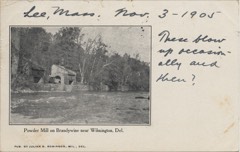 Eleutherian MillsNational Historic Landmark · listed 1966
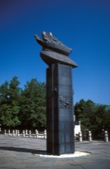 Fort ChristinaNational Historic Landmark · listed 1966
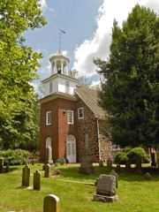 Holy TrinityNational Historic Landmark · listed 1966
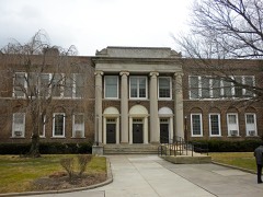 Howard High SchoolNational Historic Landmark · listed 1985
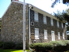 Lombardy HallNational Historic Landmark · listed 1972
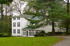 James Armor Houselisted 1992
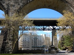 Augustine Paper Milllisted 1978
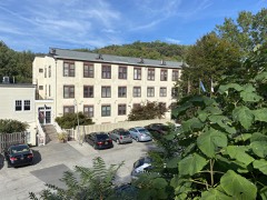 Bancroft and Sons Cotton Millslisted 1984
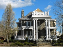 Baynard Boulevard Historic Districtlisted 1979
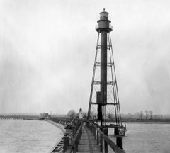 Bellevue Range Rear Light Stationlisted 2006
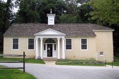 Brandywine Manufacturers Sunday Schoollisted 1972
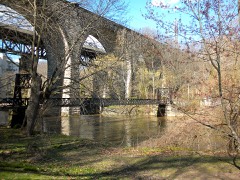 Brandywine Parklisted 1976
Population over time
4 figuresWilmington fell from 75,000 to 70,898 between 1974 and 2020. These are the recorded population figures Wikidata holds for this place, reached through the Geographic Names Information System number this page is keyed on rather than by name, so they belong to this place and not to another of the same name. Most are census counts, but not all are: an early figure may be a founding or settlement estimate, and an estimate published within five years of a census is left out. The change column is computed, and is left blank where more than 20 years separate a figure from the one before it, because a gap that long is not a change between two counts.
| Year | People | Change |
|---|---|---|
| 1974 | 75,000 | |
| 1980 | 70,000 | -5,000 (-7%) |
| 2010 | 70,851 | |
| 2020 | 70,898 | +47 (+0%) |
Topographic sheets covering this place
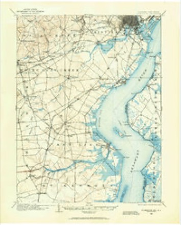
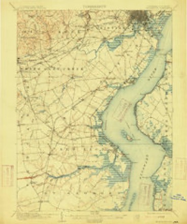
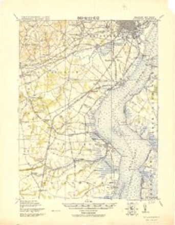
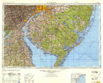
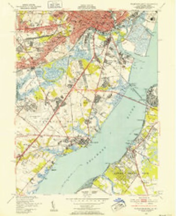
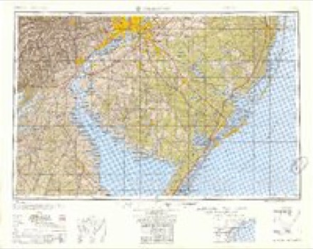
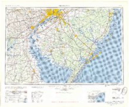
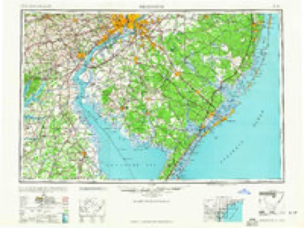
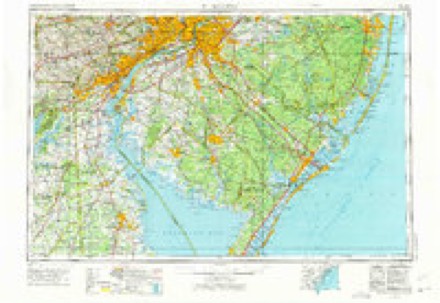
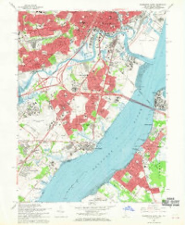
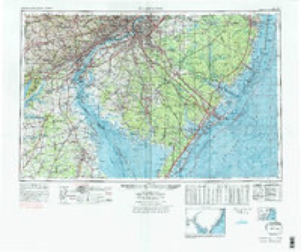
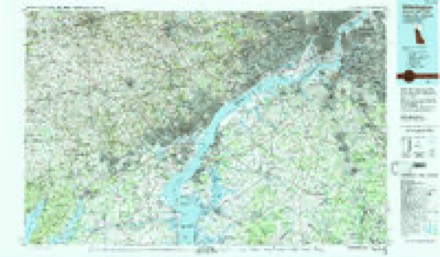
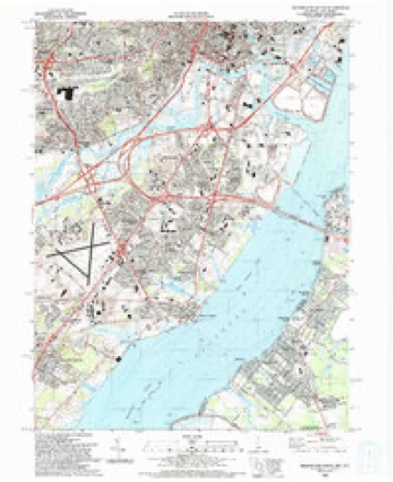
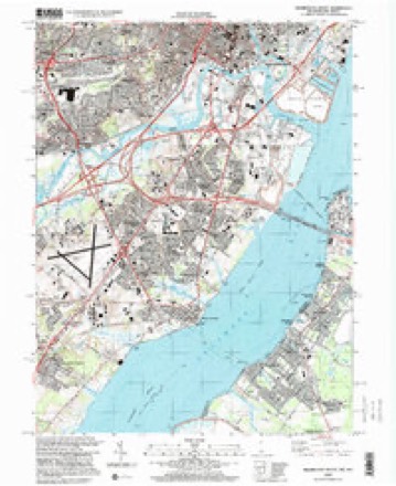
14 surveys from 33 printed sheetsMatched by testing this settlement's coordinate against the published boundary of every sheet in the United States Geological Survey's historical collection. Each opens the scanned sheet at the Survey.
- 1904 USGS Wilmington quadrangle1:62500
- 1906 USGS Wilmington quadrangle1:62500, 7 printings
- 1919 USGS Wilmington quadrangle1:62500, 2 printings
- 1946 USGS Wilmington quadrangle1:250000, 2 printings
- 1948 USGS Wilmington South quadrangle1:24000, 2 printings
- 1955 USGS Wilmington quadrangle1:250000
- 1957 USGS Wilmington quadrangle1:250000, 2 printings
- 1959 USGS Wilmington quadrangle1:250000, 3 printings
- 1966 USGS Wilmington quadrangle1:250000, 4 printings
- 1967 USGS Wilmington South quadrangle1:24000, 3 printings
- 1972 USGS Wilmington quadrangle1:250000, 2 printings
- 1984 USGS Wilmington quadrangle1:100000, 2 printings
- 1993 USGS Wilmington South quadrangle1:24000
- 1997 USGS Wilmington South quadrangle1:24000
What the histories say of this town
97,702 words1 chapter about Wilmington from the published histories of the county, public domain and reproduced complete.
| Chapter | From | Length |
|---|---|---|
| History | A History of the Original Settlements on the Delaware : from Its Discovery by Hudson to the Colonization Under William Penn : to Which Is Added an Account of the Ecclesiastical Affairs of the Swedish Settlers, and a History of Wilmington, from Its First Settlement to the Present Time (1846) | 97,702 words in 7 parts |
Fires near this place
4 since 2004Regional context, not property-specific evidence. The federal wildfire occurrence database lists 4 fires within 5 miles of Wilmington between 2004 and 2017, burning about 1 acre in total. None started naturally. None was recorded as arson. Distance is straight-line from the map coordinates, so a fire counted here may appear on a neighbouring settlement's page as well.
| Reported cause | Fires |
|---|---|
| Missing data/not specified/undetermined | 2 |
| Equipment and vehicle use | 1 |
| Other causes | 1 |
The most recent of them, most recent first, with the day each was reported and the service that recorded it.
| Date | Cause | Size | Reported by | Name on the report |
|---|---|---|---|---|
| 19 April 2017 | Equipment and vehicle use | under an acre | New Jersey Forest Fire Service | not named |
| 19 April 2014 | Other causes | under an acre | New Jersey Forest Fire Service | not named |
| 20 November 2004 | Missing data/not specified/undetermined | under an acre | Delaware State Fire Marshal's Office | not named |
| 10 November 2004 | Missing data/not specified/undetermined | under an acre | Delaware State Fire Marshal's Office | not named |
Settlements close enough to share some of these fires:
Mines and quarries near this place
5 within 5 milesRegional context, not property-specific evidence. The federal mineral resources record lists 5 workings within 5 miles of Wilmington: 3 plants, 2 past producers. 3 still produce. What was taken out: Chromium, Titanium, Fluorine-Fluorite, Titanium, Pigment. Distance is straight-line from the map coordinates, so a quarry counted here may appear on a neighbouring settlement's page as well.
| Where | Site | Commodity | Status | Recorded |
|---|---|---|---|---|
| American Minerals/ Wilmington, De. | Chromium | Past Producer | ||
| Edgemoor Plant Ti | Titanium, Pigment | Plant | 1956 | |
| Wilmington Plant Dupont | Titanium | Plant | ||
| Wilmington Plantozark-Mahoning | Fluorine-Fluorite | Plant | ||
| Winzinger Pit | Sand and Gravel, Construction | Past Producer |
Storms near this place
31 since 1995Regional context, not property-specific evidence. The National Weather Service names Wilmington in 31 storm reports between 1995 and 2026: 16 thunderstorm wind, 6 hail, 3 flood, 3 flash flood. No death or injury is recorded in these reports. Each account below is quoted exactly as the forecast office filed it, from the NOAA Storm Events Database, and each date opens the federal record of that event.
| When | Event | Place named | Harm | What the report says |
|---|---|---|---|---|
| June 2013 | Thunderstorm Wind | Wilmington | $25,000 | A severe thunderstorm knocked down a couple of trees in Wilmington. |
| June 2025 | Lightning | Wilmington | $1,000 | Multiple structure fire reports near Wilmington due to lightning strikes. Time estimated. |
| March 2026 | Thunderstorm Wind | Wilmington | - | Downed tree in Wilmington blocking an exit off I-95 Northbound. Downed tree limbs also reported in neighborhoods nearby. Time estimated from radar. |
| March 2026 | Thunderstorm Wind | Wilmington | - | Numerous reports of tree damage and powerlines down across the city of Wilmington. Time estimated. |
| June 2023 | Flash Flood | Wilmington | - | Governor Printz Boulevard was closed in Edgemoor between Lea Boulevard and Edgemoor Road due to flooding. |
| July 2021 | Thunderstorm Wind | Wilmington | - | A couple reports were received of downed wires near 10th St. Time estimated from radar. |
| August 2020 | Flash Flood | Wilmington | - | East 12th Street was closed at Interstate 495 in Wilmington due to flooding. |
| April 2020 | Thunderstorm Wind | Wilmington | - | A couple reports of tree limbs and wires down in the area. Time estimated from radar. |
| August 2020 | Thunderstorm Wind | Wilmington | - | Trees down or snapped on North Madison Street between West 9th and West 10th streets in Wilmington. Time estimated from radar. |
| February 2016 | Flood | Wilmington | - | The Brandywine river flooded the afternoon of 2/25 due to heavy rain from the night before. The Brandywine State park had flooding in the parking lot starting around 11am. The local museum further upstream also was closed for the day. Some high water was also noted at the local zoo. |
| April 2015 | Flash Flood | Wilmington | - | Thunderstorms with heavy rain caused flash flooding along 12th Street near the Brandywine Creek in Wilmington. Vehicles were stuck in flood waters on that roadway. No serious injuries were reported. Event precipitation totals since the morning of the 20th included 2.83 inches at the New Castle County Airport, 2.81 inches in Newport, 2.52 inches in Newark and 2.40 inches in Hockessin. |
| July 2013 | Thunderstorm Wind | Wilmington | - | A severe thunderstorm knocked down trees and wires in Wilmington. |
| June 2012 | Hail | Wilmington | - | A thunderstorm dropped nickel-size hail in Wilmington. |
| August 2011 | Hail | Wilmington | - | Quarter size hail fell from a severe thunderstorm in Wilmington. |
| September 2011 | Flood | Wilmington | - | The Brandywine Creek at Wilmington was above its 16.5 foot flood stage from 915 a.m. EDT through 1141 a.m. EDT on the 8th. It crested at 16.7 feet at 1015 a.m. EDT on the 8th. |
| May 2010 | Hail | Wilmington | - | Nickel to quarter size hail fell in Wilmington. In northern Wilmington, the hail briefly covered the ground. |
| March 2009 | Hail | Wilmington | - | Dime to nickel size hail fell in northeastern New Castle County in Wilmington and Brandywine Hundred. |
| June 2009 | Hail | Wilmington | - | The same severe thunderstorm dropped penny size hail in Wilmington. |
| August 2008 | Heavy Rain | Wilmington | - | Thunderstorms with heavy rain caused poor drainage flooding that entered a couple of basement apartments at the Dana Apartments on North Tatnall Street. About a dozen residents were evacuated from two basement apartments. Three apartments and families above the flooded apartments were also displaced because the electricity was turned off. The building sits lower than the street. Adjusted for hail Doppler Radar storm total estimates were between one inch and an inch and a quarter. |
| October 1995 | Thunderstorm Wind | Wilmington | - | A severe thunderstorm caused wind damage to the Pike Creek Shopping Center in the Prices Corner area of New Castle County. Extensive roof damaged occurred in the strip mall with Eckerd Drug, Buster Brown and Carousel Cards hit the hardest. In surrounding areas the severe thunderstorm caused slight wind damage to two buildings in the Goldey-Beacom College. Snapped and downed trees took down wires and caused power outages to about 4,000 persons. |
| February 2008 | Flood | Wilmington | - | no account filed |
| July 2006 | Thunderstorm Wind | Wilmington | - | no account filed |
| July 2006 | Thunderstorm Wind | Wilmington | - | no account filed |
| September 2006 | Thunderstorm Wind | Wilmington | - | no account filed |
| August 2004 | Thunderstorm Wind | Wilmington | - | no account filed |
| June 2001 | Hail | Wilmington | - | no account filed |
| March 2000 | Thunderstorm Wind | Wilmington | - | no account filed |
| August 1999 | Lightning | Wilmington | - | no account filed |
| August 1999 | Thunderstorm Wind | Wilmington | - | no account filed |
| July 1998 | Thunderstorm Wind | Wilmington | - | no account filed |
| June 1997 | Thunderstorm Wind | Wilmington | - | no account filed |
Nearest settlements
The eight closest, with where each one stands in the county. Distances are straight-line, computed from the Geographic Names Information System coordinates.
| Map | Place | Distance | Sheets |
|---|---|---|---|
| Landlith | 0.9 miles | 33 | |
| South Wilmington | 1.2 miles | 33 | |
| Augustine Hills | 1.2 miles | 35 | |
| Concord | 1.3 miles | 35 | |
| Augustine | 1.3 miles | 35 | |
| Penn Rose | 1.6 miles | 35 | |
| Rock Manor | 1.6 miles | 35 | |
| Wawaset Park | 1.6 miles | 35 |
Elsewhere
Matched on this settlement's Geographic Names Information System number rather than its name, so it cannot be a different place of the same name in another state.
| Wikipedia article on Wilmington | An encyclopaedic summary. Its text is share-alike, so it is linked here rather than copied. |
| Wikidata item Q174224 | The structured record the population and elevation above come from. Public domain (CC0). |
Provenance
This settlement is recorded in the Geographic Names Information System as feature 214862. The sheet list is computed by point-in-boundary test against the United States Geological Survey's historical topographic inventory. Both are works of the United States government and carry no copyright under 17 U.S.C. 105.
Wildfire. Short, Karen C. 2022. Spatial wildfire occurrence data for the United States, 1992-2020 [FPA_FOD_20221014]. 6th Edition. Fort Collins, CO: Forest Service Research Data Archive. https://doi.org/10.2737/RDS-2013-0009.6 Collected with United States Government funding and usable without additional permissions or fees.
Mines and quarries. USGS Mineral Resources Data System (MRDS) https://mrdata.usgs.gov/mrds/ A work of the United States government, no copyright under 17 U.S.C. 105.
Storms. NOAA National Centers for Environmental Information, Storm Events Database https://www.ncei.noaa.gov/stormevents/ A work of the United States government, no copyright under 17 U.S.C. 105. Narratives are quoted verbatim from the National Weather Service report and are not edited or summarised.