 Block
BlockFrom the record
3 National Register listings published here.
Sources: the National Register database, National Park Service
47 topographic sheets cover 17 settlements here, and 3 properties are on the National Register of Historic Places.
3 National Register listings published here.
Sources: the National Register database, National Park Service
Every property in this county listed on the National Register of Historic Places, with the year it was listed and the federal nomination document.
| Photograph | Property | Type | Listed | Reference |
|---|---|---|---|---|
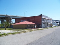 | Moore Haven Downtown Historic District | district | 1995 | 95001166 |
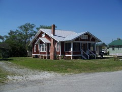 | Moore Haven Residential Historic District | district | 1998 | 98000714 |
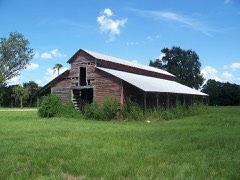 | Red Barn | building | 2008 | 08001243 |
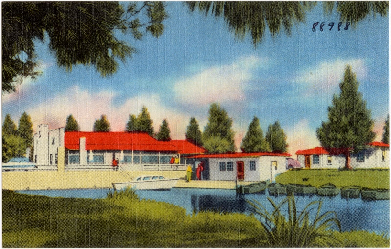
Selected from the Digital Public Library of America's 4 image records catalogued for this county. Every one shown here carries a public-domain status or a licence that permits reuse on a site that carries advertising; non-commercial, share-alike and restricted images are excluded. The selection is spread across the county's towns (at most eight per town), so no single institution's bulk upload crowds out the rest. Each opens the holding library's record, and the complete set at the Digital Public Library of America is one click away.
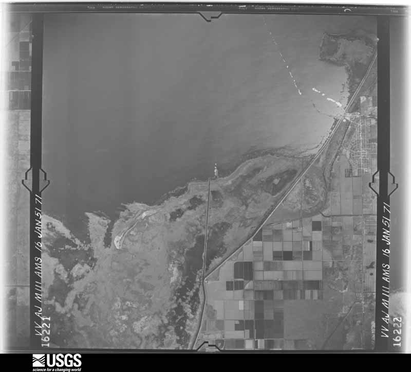
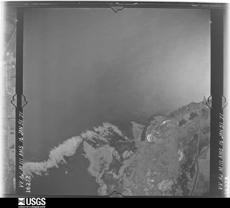
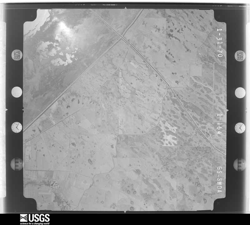
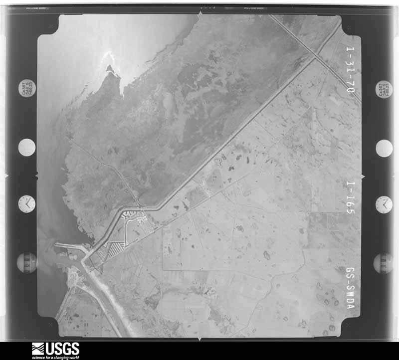
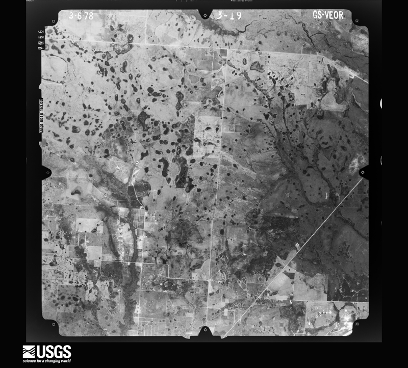
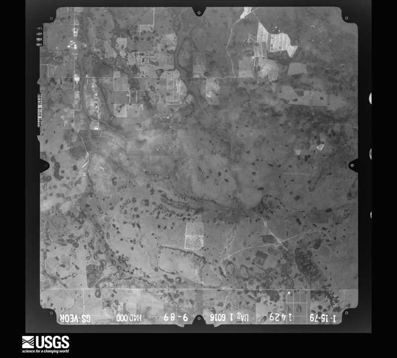
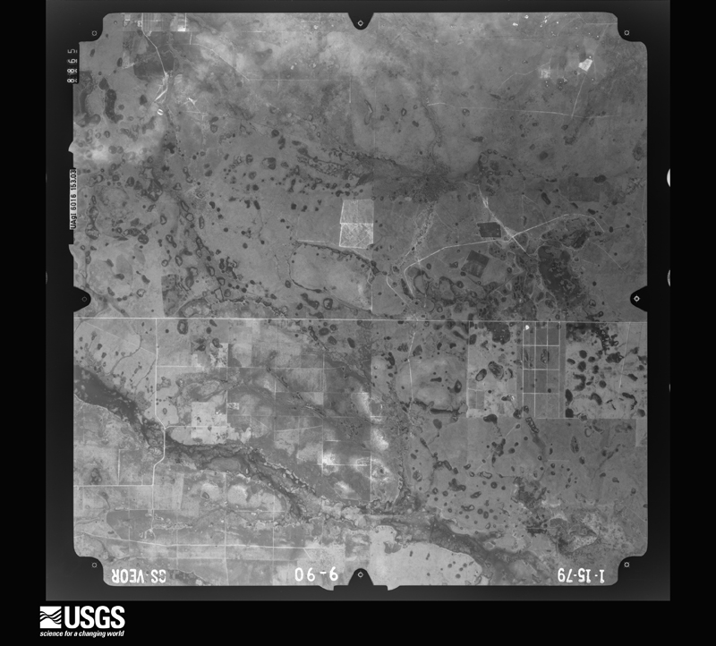
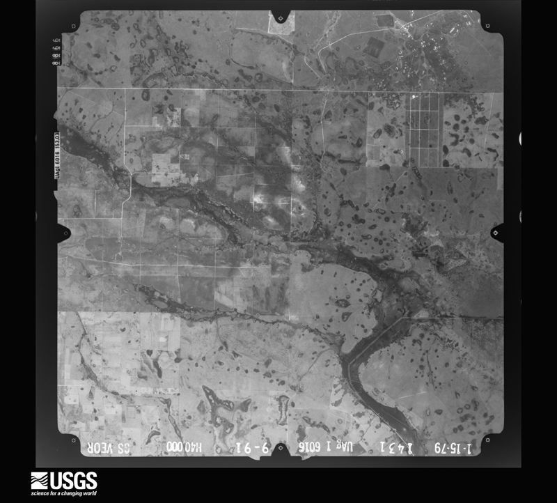
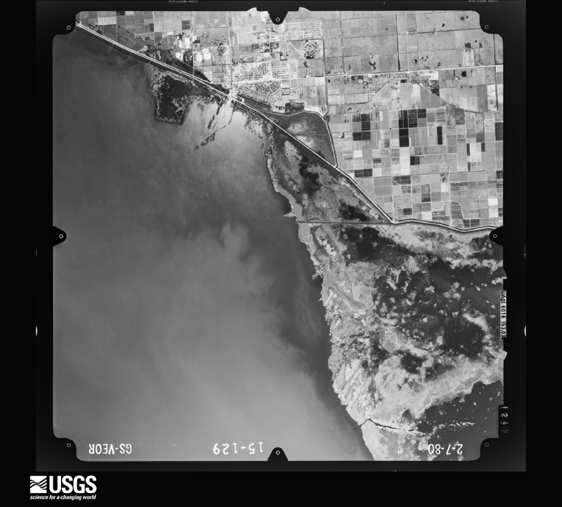
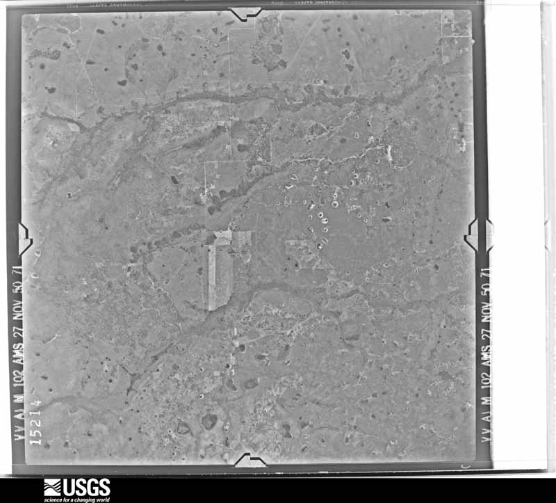
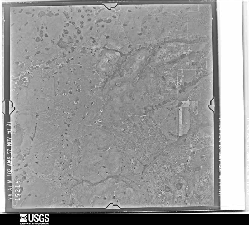
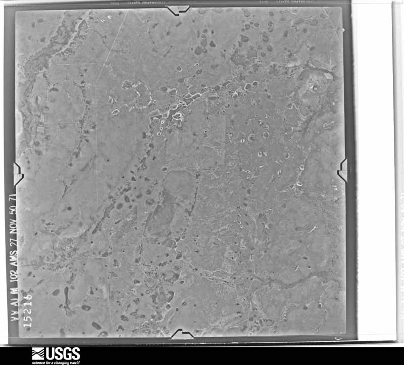
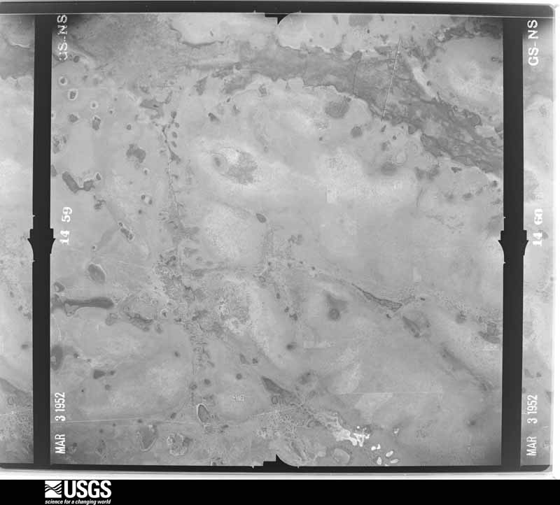
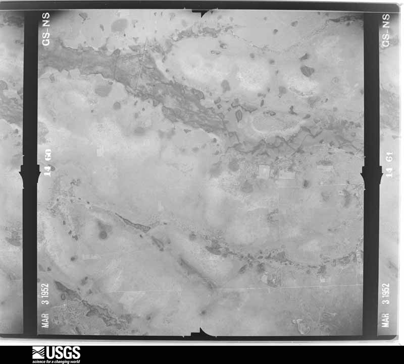
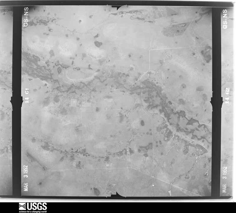
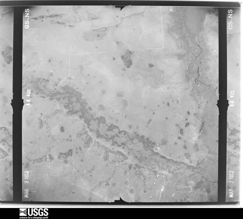
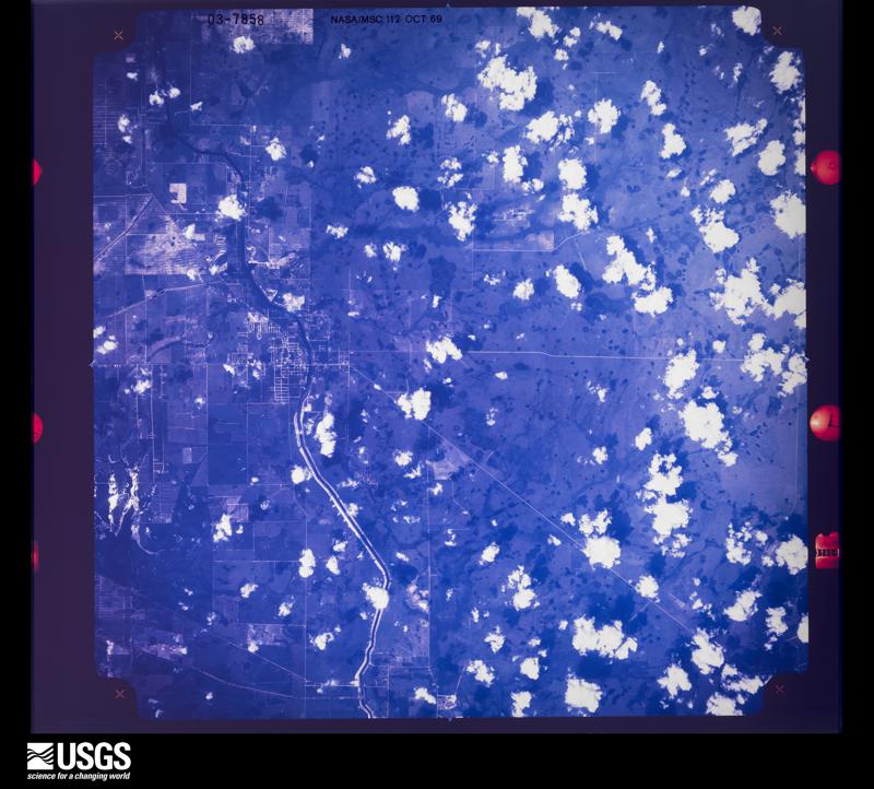
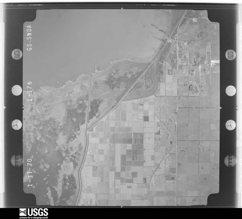
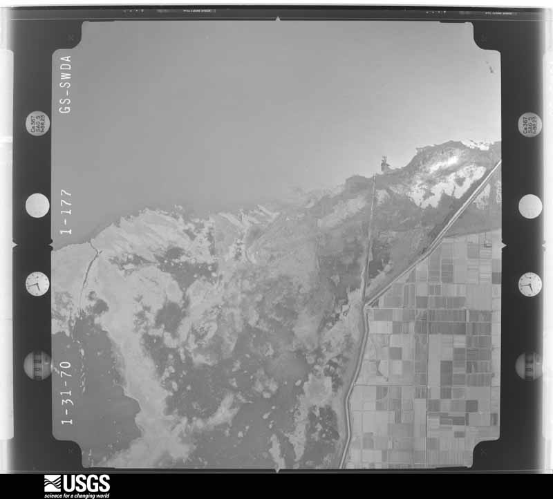
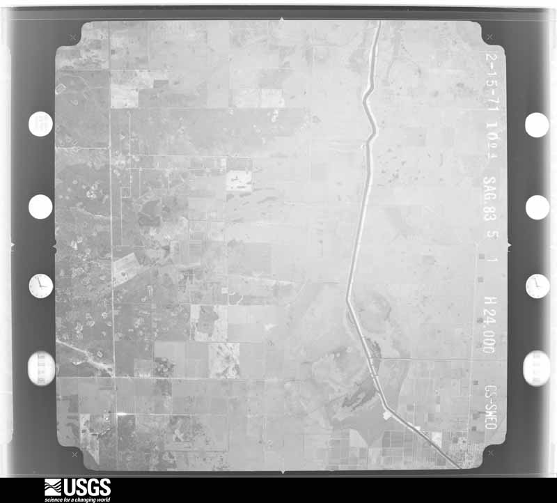
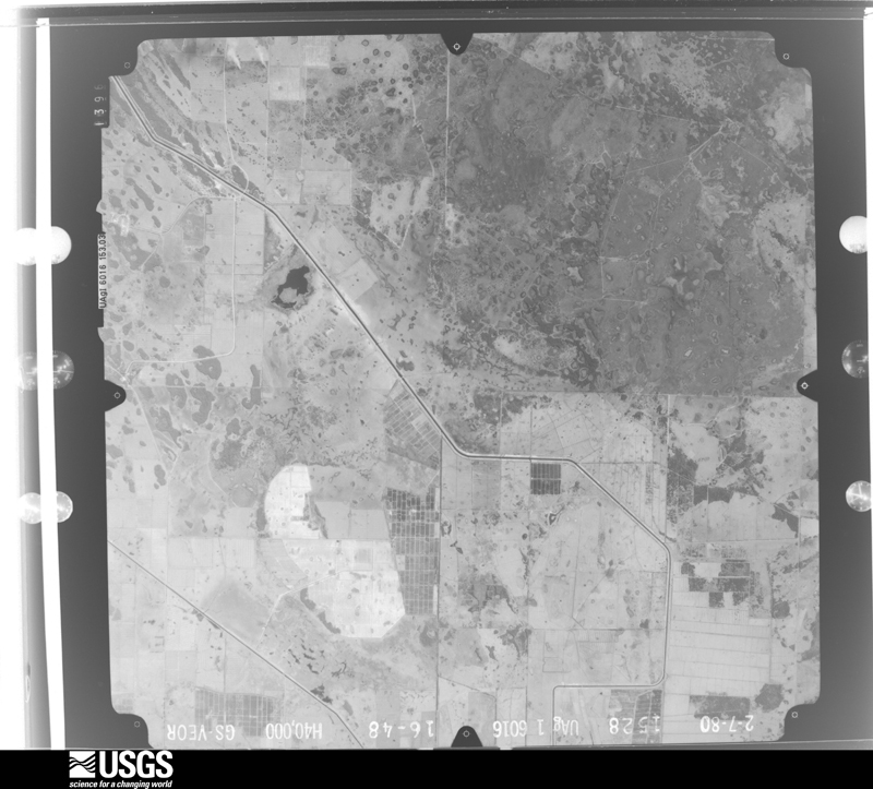
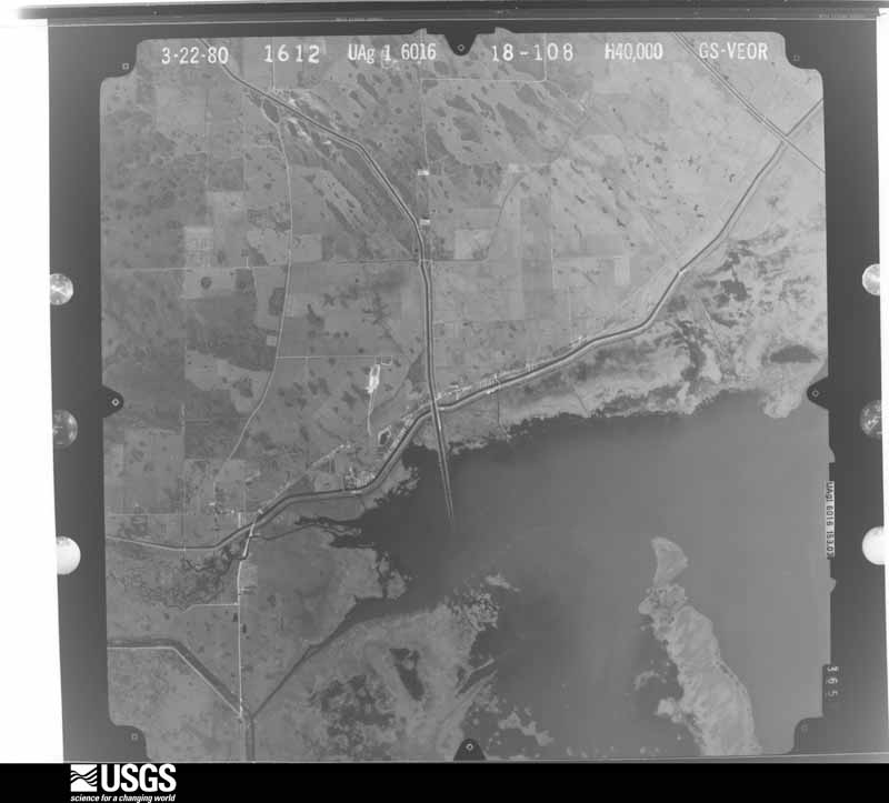
Flown by the U.S. Geological Survey between 1937 and 1989, the Aerial Photo Single Frames collection is the definitive mid-century view of the land: fields, roads and rivers as the camera saw them. The Survey holds 989 frames inside the rectangle that bounds this county; the 37 frames below were taken over the county itself, chosen across the decades of flights (at most four a year from that rectangle), so one flight cannot crowd out the rest. The full set is free to browse and download at EarthExplorer under the dataset Aerial Photo Single Frames.




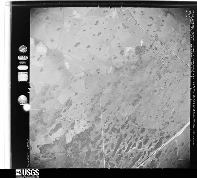
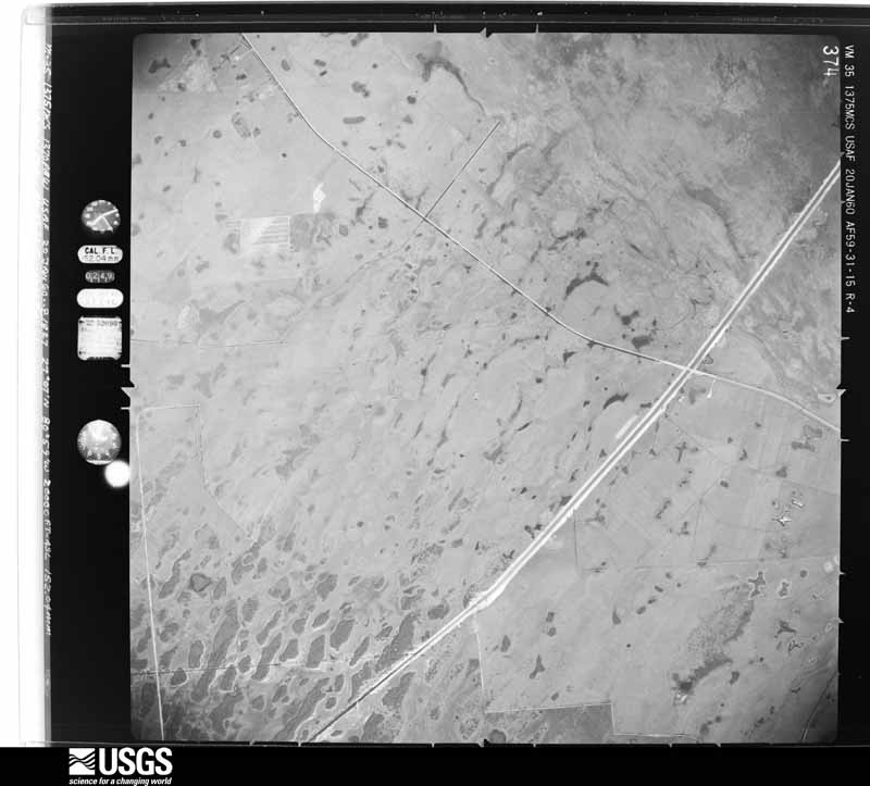
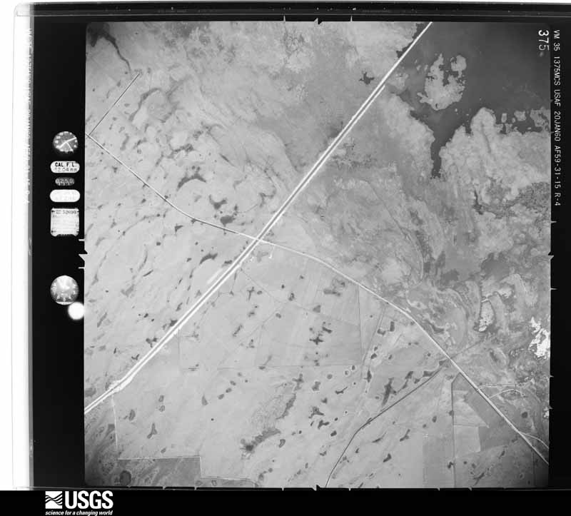
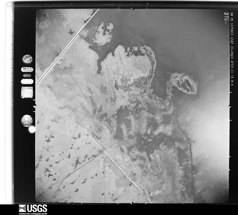



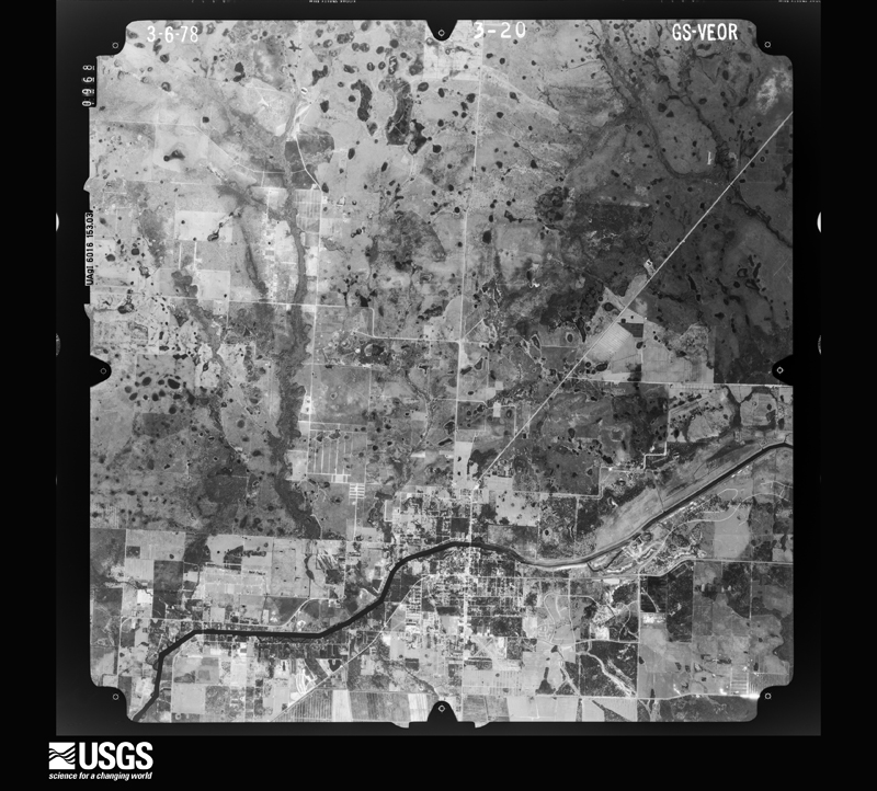
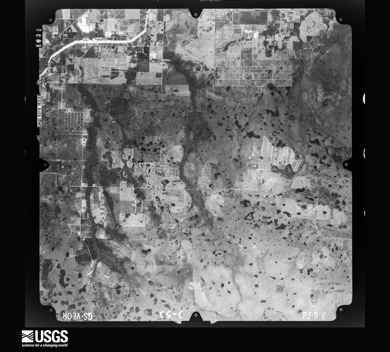
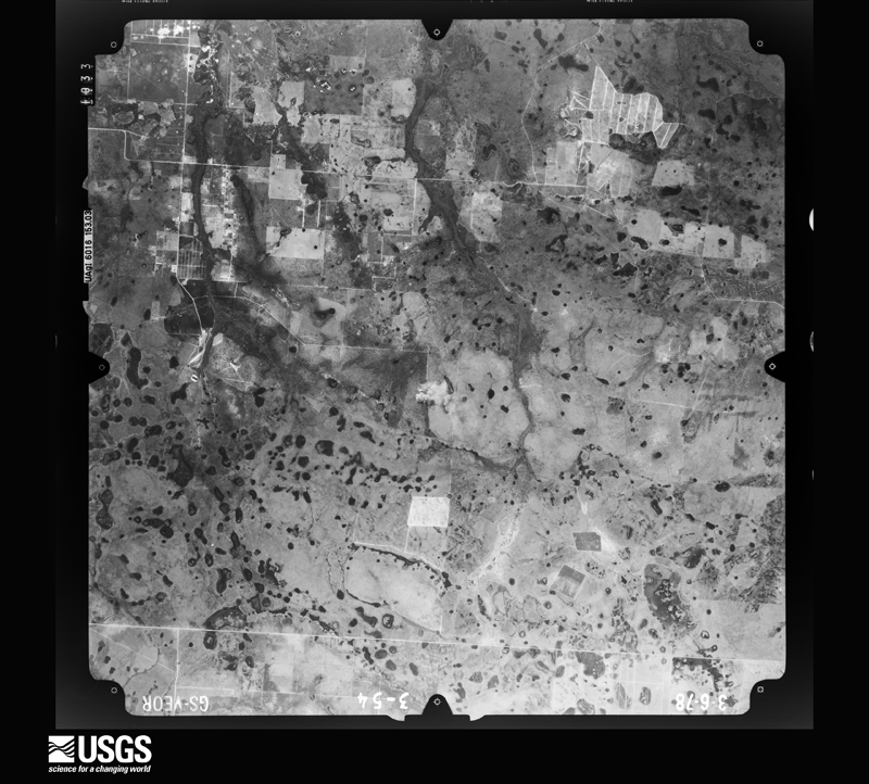
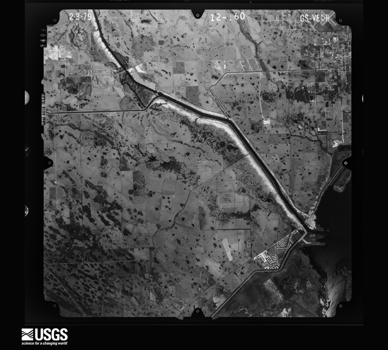
The thermometers that kept this county's weather, and the gages that measured the flow of its streams, as the federal records hold them. The extremes below are measured values from those records, not estimates.
Who lived here in 1950, one enumeration district at a time, as the Census Bureau described each district. Each row opens its official National Archives result, with Population Schedules and ED Maps available there.
Every wildfire the federal occurrence database records inside this county: 1,245 of them, burning about 229,394 acres. 416 started naturally and 111 were recorded as arson. Each settlement page carries the fires within five miles of it.
| Reported cause | Fires |
|---|---|
| Natural | 416 |
| Debris and open burning | 217 |
| Equipment and vehicle use | 190 |
| Railroad operations and maintenance | 125 |
| Arson/incendiarism | 111 |
| Missing data/not specified/undetermined | 108 |
| Power generation/transmission/distribution | 24 |
| Recreation and ceremony | 22 |
| Misuse of fire by a minor | 11 |
| Smoking | 10 |
| Other causes | 6 |
| Fireworks | 5 |
The five largest, by the area the report gives. Three of them were set deliberately.
| Date | Cause | Size | Reported by | Name on the report |
|---|---|---|---|---|
| 25 February 2007 | Arson/incendiarism | 43,562 acres | Florida Forest Service | (GL) MOONSHINE BAY (297) |
| 5 February 2001 | Missing data/not specified/undetermined | 38,100 acres | Florida Forest Service | UNCLE JOE'S COMMAND |
| 2 May 2008 | Arson/incendiarism | 38,000 acres | Florida Forest Service | MYAKKA CUT |
| 28 May 2007 | Arson/incendiarism | 23,250 acres | Florida Forest Service | (GL) FROG LIGHT (0726) |
| 9 March 2001 | Railroad operations and maintenance | 8,500 acres | Florida Forest Service | JOE JR |
| 6 January 2001 | Equipment and vehicle use | 6,000 acres | Florida Forest Service | CURRY ISLAND FIRE |
| 22 April 2014 | Equipment and vehicle use | 4,620 acres | Florida Forest Service | INDIAN PRAIRIE MARSH (22) |
| 13 May 2017 | Equipment and vehicle use | 4,410 acres | Florida Forest Service | CRANE ISLAND (22) |
Every settlement page carries the fires within five miles of it - see the settlement index below.
The NOAA Storm Events Database holds 119 reports for this county, causing 1 death, 15 injuries and about $21,858,500 in recorded property damage. Each settlement page carries the reports that name it.
| Kind of event | Reports |
|---|---|
| Thunderstorm Wind | 38 |
| Tornado | 27 |
| Hail | 27 |
| Funnel Cloud | 10 |
| Flood | 5 |
| Wildfire | 4 |
| Flash Flood | 4 |
| Waterspout | 2 |
| Lightning | 2 |
The most serious of them, by death, then injury, then recorded damage. The accounts are quoted exactly as the forecast office filed them.
| When | Event | Place named | Harm | What the report says |
|---|---|---|---|---|
| June 2012 | Lightning | Lakeport | 1 killed, 1 hurt | A 51 year old male died when he was struck by lightning while boating on Lake Okeechobee during a fishing tournament. In addition, 1 other male on the boat was knocked unconscious and later was examined at a local hospital and released. |
| June 1972 | Tornado (F2) | Labelle | 6 hurt, $190,000 | A tornado moved northward from Hendry County, tearing up citrus groves before hitting two trailer parks near LaBelle. Ten units were destroyed and 6 persons were injured. Property damage was estimated at $190,000, with $5,000 in crop damage. Note: this event was added in 2018, following a reanalysis by NWS Melbourne. |
| October 2024 | Tornado (EF3) | Moore Haven | 3 hurt, $20,000,000 | A severe tornado was initially observed in images captured over the western Lake|Okeechobee littoral shelf from the Harney Pond WeatherSTEM camera around 1:30 PM|EST in Glades County. The debris from the littoral shelf and associated vegetation was lofted in the air producing a tornadic debris signature detectable by the distant Miami|radar by 1:35 PM EST. The first observed property damage attributable to this tornado was in the Sarasota Colony neighborhood of Lakeport where the tornado demolished the second story dwellings of three well-built homes and then proceeded to cross Florida State Road 78 into the Fishermans Lane neighborhood where it destroyed the roofs and broke windows of 1920s-era Florida homes, lofted and tossed several manufactured homes and travel trailers, flipped a Ford Focus station wagon, and deposited debris over two blocks from their original location into the bottom of a retention pond behind the neighborhood. One manufactured home chassis was observed wrapped 15 to 20 feet above the ground around a hardwood tree located across the street from its original location with the contents of the home located in the pond almost 200 yards downstream. Damage from multiple vortices was observed at this location including one swath that reached EF-1 intensity to the east of the main EF-3 damage path. The tornado proceeded north-northwest to the east of the Harney Pond Canal into the Brighton Seminole Indian Reservation. A tornadic debris signature was detectable on the Miami radar at 1:48 PM EST as the tornado entered the southern|limits of the reservation. As the tornado continued north-northwest, it damaged trees and pulled metal panels from roofing of assorted outbuildings from different|homesteads on the south side of the reservation. The tornado entered the Brighton Seminole Village causing tree and chickee hut roof damage in the Knotts Landing neighborhood before moving into the Sports Complex where it demolished the spectator and dugout areas of some of the baseball fields. The tornado likely lifted behind one of the baseball fields around 1:49 PM EST. The Miami radar continue to detect a tornadic debris signature through 1:50 PM EST as the storm moved north along Reservation Road. The tornado was rated as a violent EF-3 that at peak produced an estimated 140 mph wind in the Sarasota Colony neighborhood of Glades County. In total, 54 structures were damaged, with 27 uninhabitable and considered destroyed. There were three people injured and no fatalities. Damage dollar amount is estimated. |
| June 1982 | Tornado (F2) | not stated | 3 hurt, $250,000 | no account filed |
| May 1997 | Tornado (F0) | Buckhead Ridge | 2 hurt, $25,000 | no account filed |
| March 1993 | Thunderstorm Wind | not stated | $500,000 | Strong downburst winds damaged three trailers and blew two others off their foundations. |
| February 1998 | Tornado (F1) | Lakeport | $100,000 | Tornado touched down in Buckhead Ridge. Two homes had their roofs torn off. Ten homes had roof damage. Numerous trees and powerlines down. |
| August 2008 | Flood | Tasmania | $80,000 | Rainfall amounts ranged 7 to 10 inches over northern Collier, Hendry and Glades counties near the path of the center of Fay. Isolated areas in northeastern Hendry and southeastern Glades counties received well in excess of 10 inches, with Moore Haven recorded the highest storm total rainfall of 16.17 inches recorded in the 48-hour period ending at 8 AM on Wednesday, August 20th. Extensive flooding was observed over the areas with the highest totals, especially over Hendry and Glades counties. Hardest hit areas were the Felda and Montura areas in Hendry County, and the Muse and Moore Haven areas in Glades counties. Dozens of homes sustained damage from water intrusion, primarily in the Muse community and some roadways were closed for a few days. Nearly 40 homes were flooded in Glades County with most water intrusion occurring in the Muse area. |
| June 2008 | Thunderstorm Wind | Lakeport | $75,000 | Strong Thunderstorms moved inland from Lake Okeechobee and into Buckhead Ridge producing damage to two homes, with one becoming uninhabitable. The resident of the mobile home was watching television and heard the wind pick up and noticed water coming through the ceiling and around the ceiling fan. She then ran for cover while the roof lifted off. Destruction to the mobile home was 80% with 100% destruction occurring to an addition. Amount of damage to second home was unknown. |
| September 2022 | Tornado (EF0) | Moore Haven | $50,000 | A tornado moved NW over portions of Moore Haven early Wednesday morning, September 28th. First signs of damage was tree damage near Park Avenue and Yaun Road, with siding and panel damage to a home on Park Avenue, as well as two storage trailers tipped near the Sportsman Village on Daniels Road next to the US 27 bridge. The damage path ended near the Moore Haven Yacht Club where siding damage to homes were observed. Damage is consistent with the higher end of the EF-0 scale.|Damage totals are estimated. |
| September 2017 | Flood | Palmdale | $50,000 | Glades County Emergency Management reported the closure of State Road 29 due to flooding from State Road 78 halfway up to Palmdale, as well as State Road 78 east from State Road 29 to U.S. 27. Extensive sheet flow flooding affected western and southern Glades County to Muse and the Hendry County line. Also, flooding from Fisheating Creek affected the campground adjacent to U.S. 27 in Palmdale.||Rainfall amounts of 8 to 12 inches were widespread across the area, with estimates of 16 to 20 inches over parts of western Glades County. |
| October 2011 | Tornado (EF0) | Lakeport | $50,000 | A tornado rated at EF-0 moved across Lakeport in Glades County. The tornado damaged approximately 30 manufactured homes. Damage was mostly minor with siding peeled off and some roof and tree damage. Maximum winds were estimated at 85 mph. |
| June 2009 | Tornado (EF0) | Lakeport | $50,000 | Broadcast media relayed a report of damage caused by a small tornado at Lakeport RV Park in Lakeport. The person reporting the damage stated that several people saw a 8-10 foot funnel on the ground. ||A roof was lifted off of a trailer at 1256 Milum Drive, with minor porch and gutter damage to other trailers at the park. Eyewitnesses also reported hail and minor flooding. |
| August 1998 | Thunderstorm Wind | Moore Haven | $50,000 | Barn was destroyed. power lines were downed and trees uprooted. |
| March 1993 | Thunderstorm Wind | Moorehaven | $50,000 | Strong winds destroyed several mobile homes and blew down trees and power lines. |
| May 2002 | Thunderstorm Wind | Ortona | $50,000 | no account filed |
| May 2002 | Tornado (F0) | Moore Haven | $25,000 | A brief tornado touchdown was observed by witnesses. The tornado did minor damage to roofs and screened porches. |
| June 2000 | Wildfire | Ortona | $25,000 | no account filed |
| June 1989 | Tornado (F0) | not stated | $25,000 | no account filed |
| March 1975 | Tornado (F1) | not stated | $25,000 | no account filed |
| April 2012 | Thunderstorm Wind | Lakeport | $20,000 | The Glades County Sheriffs Office reported a possible tornado in the Lakeport area with an estimated radar time of 250 AM EDT. Further investigation revealed that this was not a tornado but straight line thunderstorm wind gusts of 60-70 mph. A double-wide mobile home was tipped over but the unit was not tied down or secured. Another mobile home sustained roof damage but had already been weakened by previous unrepaired damage. |
| June 2007 | Thunderstorm Wind | Moore Haven | $20,000 | Strong winds caused some damage to mobile home carports and roofs along Azalea Avenue at Bowden's sub-division just south of Moore Haven. Several power lines were also downed near a sugarcane field. Area affected was roughly a half mile wide.||Damage survey done by Glades County Emergency Management after initial report by law enforcement. |
| July 2002 | Tornado (F1) | Moore Haven | $20,000 | A tornado formed along the southeast shore of Lake Okeechobee and moved west northwest. Sporadic damage along the track consisted of a pool enclosure blown into a canal and the roof of a Catholic Church being partially blown off. |
| July 2002 | Lightning | Ortona | $20,000 | A lightning-initiated fire destroyed a mobile home. |
| September 2003 | Flash Flood | South Portion | $20,000 | no account filed |
| June 1999 | Thunderstorm Wind | Lakeport | $20,000 | no account filed |
| May 2025 | Thunderstorm Wind | Lakeport | $15,000 | A member of the public submitted a social media image depicting a flipped and damaged mobile home trailer associated with a strong thunderstorm downburst. |
| October 2024 | Tornado (EF1) | Goodno | $15,000 | A tornado formed around 10:30 AM EST as a supercell traveled northward into extreme southeastern Hendry County. Although there were no eyewitness reports of a tornado, a National Weather Service survey team was able to find scattered areas of utility pole damage. Coincide with one area of pole damage was a tornadic debris signature (TDS) as the tornado crossed State Route 80 at the Hendry/Glades County line around 10:55 AM EST. After traveling 10.29 miles northwest across southern Glades County, the TDS dissipated and the last damage was identified just south of Palmdale in the form of broken tree branches. The tornado was rated as an EF-1, after traveling a total 29.89 miles, with an estimated maximum winds around 110 mph. |
| April 1999 | Wildfire | Ortona | $10,000 | no account filed |
| June 2000 | Wildfire | Palmdale | $8,000 | no account filed |
| June 2016 | Thunderstorm Wind | Lakeport | $5,000 | A storm moving off of the northwestern end of Lake Okeechobee over Buckhead Ridge brought trees and power lines down in the community, including damaging the roof of one mobile home and wrapping the sheet metal on a power line. Lightweight signs and temporary shed structures were also blown around. Wind speeds estimated from radar indicated downburst. Information from Glades County Sheriff's Office and Glades County Emergency Management. |
| June 2012 | Tornado (EF0) | Tasmania | $5,000 | Glades County Sheriffs Office reported a brief tornado touchdown near Pine Avenue in the community of Muse. A member of the public reported that a barn roof was torn off. |
| August 1985 | Tornado (F0) | not stated | $2,500 | no account filed |
| July 1970 | Tornado | not stated | $2,500 | no account filed |
| July 1970 | Tornado | not stated | $2,500 | no account filed |
| July 2025 | Thunderstorm Wind | Lakeport | $2,000 | A downed tree and power pole due to a severe thunderstorm in the area. |
| June 2007 | Thunderstorm Wind | Goodno | $1,000 | Strong winds damaged several dog pens just north of the Hendry County line. One animal was reported to be missing. |
| May 2025 | Hail | Palmdale | - | Fisheating Creek Campground reported quarter sized hail from a severe thunderstorm. |
| January 2024 | Funnel Cloud | Moore Haven | - | A video on social media showed a funnel cloud looking west from State Road 78 near Moore Haven, associated with a thunderstorm moving over the area. Time is estimated. |
| July 2024 | Funnel Cloud | Lakeport | - | Broadcast media shared photos of a funnel cloud near Lakeport as a shower moved through the area along a lake breeze boundary. |
| October 2024 | Tornado (EF1) | Benbow | - | After a tornado moved through Clewiston and rural portions of eastern Hendry County, it entered sugarcane fields in southeastern Glades County around 10:11 AM EST. It traveled another 3.84 miles before dissipating at 10:10:20 AM EST. The tornado was rated as an EF-1, with a total path length of 16.97 miles, and an estimated maximum winds at 95 mph. There were trees and crops damaged across its path in Glades County. |
| October 2024 | Tornado (EF1) | Lakeport | - | A tornado was spawned across the western portions of Lake Okeechobee, where it was captured by the Harney Pond WeatherSTEM camera between 10:35 AM EST and 10:44 AM EST. The tornado emerged over the Herbert Hoover Dike and entered the Miller Drive/Friendship Drive neighborhood where it damaged several manufactured homes and vegetation before crossing Florida State Road 78. The tornado advanced down Click Drive where it damaged several manufactured homes, rolled an outbuilding|off its foundation, and snapped a wooden utility pole at its base. The tornado proceeded into fields to the west of the Harney Pond Canal before entering the Brighton Seminole Indian Reservation. Residents reported seeing the tornado to the west of the Harney Pond Canal from the embankment as it crossed several cattle pastures before entering the Red Barn area to the west of Brighton Seminole Village. Several mature hardwood trees were uprooted or suffered a loss of their crowns along Red Barn Road. It likely dissipated as it crossed the canal to the north around 10:59 AM EST. The tornado was rated as an EF-1, after traveling a total 6.28 miles, with an estimated maximum winds around 110 mph. Click Drive appeared to have some of the highest damage indicators attributable to building damage with this tornado damage survey. No official damage amount was available. |
| April 2023 | Hail | Lakeport | - | Report of estimated 1.25 inch hail in Buckhead Ridge. |
| September 2021 | Flood | Palmdale | - | Glades County Emergency Management reported the closure of State Road 29 between State Road 78 and County Road 74 due to sheet flow flooding. Flood waters were approximately 5 inches deep over State Road 29. The road closure and flooding lasted for several days. |
| June 2020 | Hail | Lakeport | - | The Brighton Reservation Police reported Nickel size hail (0.88 inches) and wind gusts up to 50 mph with storms over the Cane Hill area of the reservation. |
| June 2017 | Flash Flood | Tasmania | - | Florida Highway Patrol reported the closure of CR74 near CR731 (Tasmania Road) due to flooding. |
| September 2016 | Funnel Cloud | Tasmania | - | A report of a funnel cloud in the area of Loblolly Road in Glades County near Muse. The funnel cloud never touched down and lasted approximately 5 minutes. |
| February 2016 | Thunderstorm Wind | Goodno | - | Large oak tree fell on house in the Goodno area off of State Road 80. |
| February 2016 | Tornado (EF1) | Moore Haven | - | The tornado initially touched down near the intersection of West Avenue and North Avenue, creating partial roof damage to a home along North Avenue as well as destroying a back porch and piercing side of nearby shed with debris. The tornado then traveled to the northeast, downing powerlines along the northeast side of the intersection of North Avenue and Riverside Drive SW as well as partially destroying a fence and uprooting trees. The tornado then moved northeast across the Caloosahatchee River. Additional roof debris was found in open fields on the east side of the river near River Road and Azalea Avenue. The tornado then tracked across open fields, before crossing Old US 27 and US 27 near Yaun Road. The most signficant damage occurred along the north side of Yaun Road where two mobile homes were destroyed. One mobile home was flipped and totaled, with debris scattered in a nearby field. The second mobile home remained standing, but most of the walls were removed. In addition to the mobile homes, a nearby fence was knocked down along with the destruction of a greenhouse, and dog and chicken pens. The porch roof of another mobile home was also destroyed. The tornado then lifted shortly thereafter just before crossing the railroad tracks near Park Avenue East. |
| May 2016 | Hail | Lakeport | - | Seminole Police Department reported quarter size hail at Seminole casino. Seminole Police Department also reported dime and smaller size hail in surrounding areas including Brighton in Glades County. |
| May 2015 | Hail | Ortona | - | Nickel sized hail was reported in Ortona. |
| April 2013 | Hail | Moore Haven | - | An isolated severe thunderstorm produced quarter sized hail at the Moore Haven Lock and Dam. |
| March 2013 | Thunderstorm Wind | Lakeport | - | Large tree limbs downed in Buckhead Ridge. |
| May 2013 | Thunderstorm Wind | Lakeport | - | Local law enforcement reported four of five downed trees in the vicinity of Buckhead Ridge. |
| June 2012 | Tornado (EF0) | Palmdale | - | Glades County Sheriff's Office reported a tornado crossing Bermont Road (SR 74) about a mile southwest of Palmdale. No known damage due to tornado moving over unpopulated area west of US 27 just west of the town of Palmdale. |
| May 2012 | Hail | Lakeport | - | Nickel-size hail reported in Buckhead Ridge. |
| August 2012 | Thunderstorm Wind | Lakeport | - | Estimated winds up to 60 mph in Lakeport with some power outages. |
| August 2012 | Funnel Cloud | Ortona | - | A paramedic reported a funnel cloud in the Ortona Area. |
| July 2012 | Tornado (EF0) | Moore Haven | - | The Glades County Emergency Manager reported a tornado touched down in open country near the intersection of U.S. 27 and State Road 78. There were no reports of injuries, fatalities or damage. |
| July 2012 | Hail | Ortona | - | The Glades County Emergency Manager reported one inch hail on Wayman Road near U.S. 27 west of Moore Haven. |
The Survey's mineral resources record lists 9 workings inside this county. 8 still produce and 1 is closed or unrecorded. Each settlement page carries the workings within five miles of it.
| Commodity | Workings |
|---|---|
| Sand | 5 |
| Sand and Gravel, Construction | 3 |
| Limestone, General | 1 |
The least common of them first, because a county's hundredth gravel pit says nothing its first ten did not.
| Where | Site | Commodity | Status | Recorded |
|---|---|---|---|---|
| Ridgedill & Son, Inc. - Ridgdill No. 5 | Limestone, General | Unknown | Limestone | |
| Caloosa Mine | Sand and Gravel, Construction | Producer | ||
| Ortona Mine North | Sand and Gravel, Construction | Producer | ||
| Ortona Mine South | Sand and Gravel, Construction | Producer | ||
| E.R. Jahna Industries - Ortona Sand Mine | Sand | Producer | ||
| Florida Rock Industries - Caloosa Mine | Sand | Producer | ||
| Florida Rock Industries - Witherspoon | Sand | Producer | ||
| Harper Brothers - Palm Dale | Sand | Producer | ||
| Macasphalt - Moore Haven Mine | Sand | Producer |
Named settlements recorded in the Geographic Names Information System, each with the topographic sheets covering it. Villages, hamlets and abandoned places alike. Each is shown with the nearest named watercourse or landform and the survey quadrangle it falls on.
Northeast Glades census division · 34974 · Okeechobee NW quadrangle
14 sheets, 1952 to 1988
Southwest Glades census division · 33471 · On Turkey Branch · Palmdale quadrangle
12 sheets, 1956 to 1987
Northeast Glades census division · 33471 · On Fisheating Creek · Lakeport quadrangle
12 sheets, 1956 to 1987
Southwest Glades census division · 33471 · Near Boomers Island · Clewiston North quadrangle
12 sheets, 1956 to 1987
Northeast Glades census division · 34974 · Brighton SE quadrangle
13 sheets, 1953 to 1988
No longer a settlement
Southwest Glades census division · 33471 · Moore Haven quadrangle
11 sheets, 1956 to 1987
Southwest Glades census division · 33471 · Near Coffee Mill Hammock · Goodno quadrangle
11 sheets, 1956 to 1987
Northeast Glades census division · 34974 · Brighton SE quadrangle
13 sheets, 1953 to 1988
Southwest Glades census division · 33471 · Clewiston North quadrangle
12 sheets, 1956 to 1987
Southwest Glades census division · 33471 · Moore Haven quadrangle
11 sheets, 1956 to 1987
The vanished settlements of Glades County: the places named above that are no longer on the map.