 Block
BlockAndrew, Florida
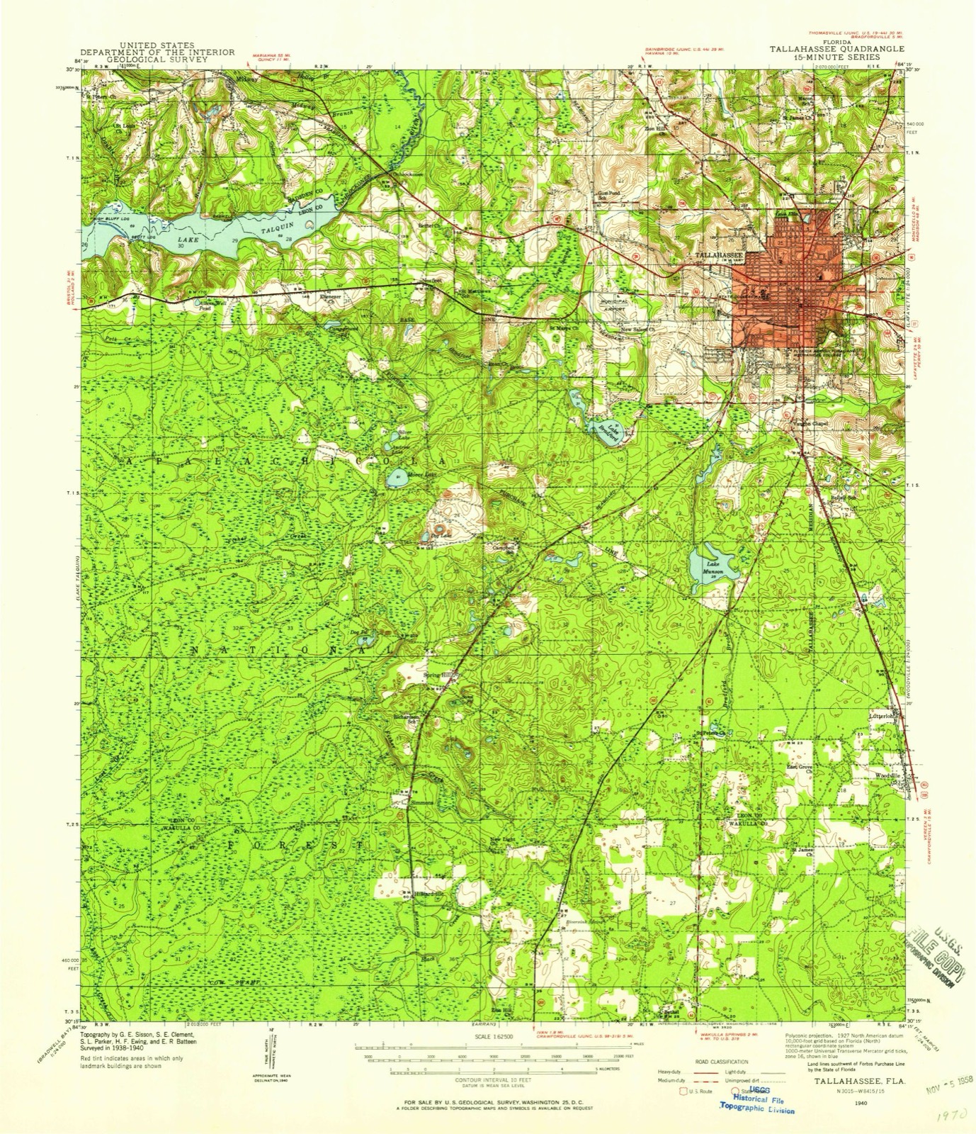
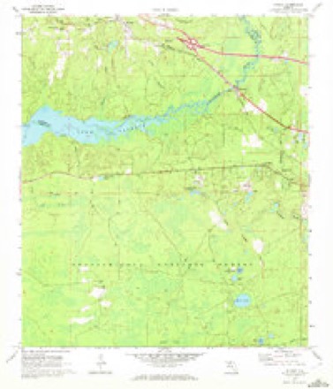
16 topographic sheets cover this place, the earliest surveyed in 1940 and the latest in 1988. It stands in the Southwest Leon census division. It lies in ZIP code area 32310. The Survey maps it on the Midway quadrangle.
Then and now
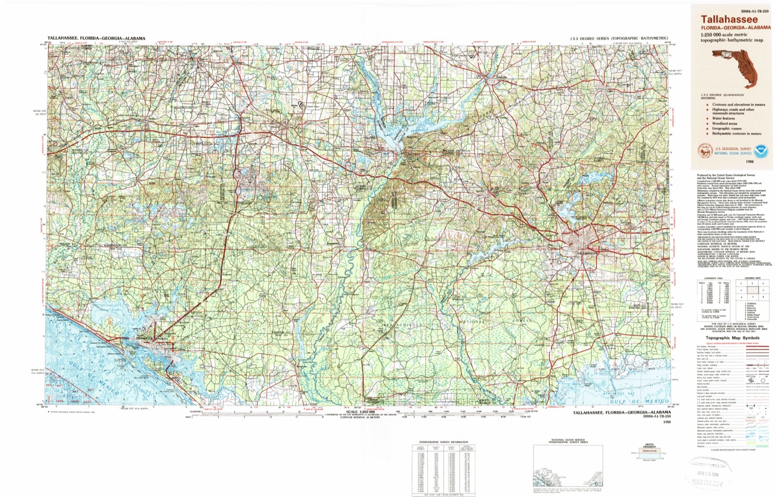
1940 to 1988The same ground, surveyed 48 years apart. Drag the handle to wipe between them. Both sheets are United States Geological Survey originals; neither has been altered.
Compare 1940 against another survey:
Topographic sheets covering this place
9 surveys from 16 printed sheetsMatched by testing this settlement's coordinate against the published boundary of every sheet in the United States Geological Survey's historical collection. Each opens the scanned sheet at the Survey.
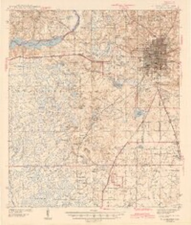
- 1940 USGS Tallahassee quadrangle1:62500, 2 printings
- 1942 USGS Tallahassee quadrangle1:62500
- 1943 USGS Tallahassee quadrangle1:62500, 2 printings
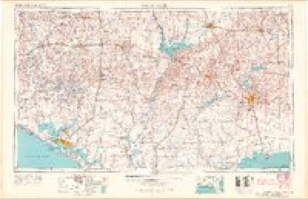
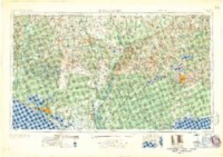
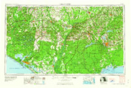
- 1954 USGS Tallahassee quadrangle1:250000, 4 printings
- 1959 USGS Tallahassee quadrangle1:250000
- 1960 USGS Tallahassee quadrangle1:250000
- 1969 USGS Midway quadrangle1:24000, 2 printings
- 1979 USGS Tallahassee quadrangle1:100000
- 1988 USGS Tallahassee quadrangle1:250000, 2 printings
Fires near this place
179 since 1992Regional context, not property-specific evidence. The federal wildfire occurrence database lists 179 fires within 5 miles of Andrew between 1992 and 2020, burning about 2,006 acres in total. 41 started naturally. 21 were recorded as arson. Distance is straight-line from the map coordinates, so a fire counted here may appear on a neighbouring settlement's page as well.
| Reported cause | Fires |
|---|---|
| Natural | 41 |
| Recreation and ceremony | 29 |
| Debris and open burning | 29 |
| Missing data/not specified/undetermined | 26 |
| Arson/incendiarism | 21 |
| Equipment and vehicle use | 16 |
| Railroad operations and maintenance | 6 |
| Smoking | 4 |
| Misuse of fire by a minor | 4 |
| Power generation/transmission/distribution | 3 |
The most recent of them, most recent first, with the day each was reported and the service that recorded it.
| Date | Cause | Size | Reported by | Name on the report |
|---|---|---|---|---|
| 8 September 1992 | Natural | 5.0 acres | National Forests in Florida | not named |
| 6 September 2008 | Smoking | 2.5 acres | National Forests in Florida | TWISTED ANKLE |
| 28 September 2016 | Missing data/not specified/undetermined | 1.0 acres | Florida Forest Service | CLAY PIT (37) |
| 25 September 2019 | Debris and open burning | 1.0 acres | Florida Forest Service | COBBLESTONE LN *NOV* (37)-0581 |
| 24 September 2019 | Debris and open burning | under an acre | Florida Forest Service | BIG RICHARD RD *NOV* (37) |
| 13 September 2011 | Recreation and ceremony | under an acre | Florida Forest Service | HWY 90 (37) |
| 12 September 1992 | Equipment and vehicle use | 1.0 acres | Florida Forest Service | not named |
| 1 September 2011 | Natural | under an acre | Florida Forest Service | CROSSBOW RD (37) |
Settlements close enough to share some of these fires:
Mines and quarries near this place
8 within 5 milesRegional context, not property-specific evidence. The federal mineral resources record lists 8 workings within 5 miles of Andrew: 4 producers, 4 unknowns. 4 still produce. What was taken out: Sand, Sand and Gravel, Construction. Distance is straight-line from the map coordinates, so a quarry counted here may appear on a neighbouring settlement's page as well.
| Where | Site | Commodity | Status | Recorded |
|---|---|---|---|---|
| Norfleet Pit | Sand and Gravel, Construction | Producer | ||
| Dot Tallahassee - Lake Bradford Mine | Sand | Unknown | ||
| Fontana Titan Co. - Fontana Titan Recovery | Sand | Producer | ||
| Jimmie Crowder Excava. & Land Cl - Aenon Church Road Mine | Sand | Unknown | ||
| Johnson Sand Co. - Johnson Sand Mine | Sand | Producer | ||
| Mitchell Brothers, Inc - Johnson Sand Mine | Sand | Unknown | ||
| Mitchell Brothers, Inc. - Aenon Church Road Mine | Sand | Unknown | ||
| Roberts Sand Co. - Norfleet Mine | Sand | Producer |
Storms near this place
7 since 2011Regional context, not property-specific evidence. The National Weather Service names Andrew in 7 storm reports between 2011 and 2024: 2 tornado, 2 flash flood, 1 heavy rain, 1 hail. No death or injury is recorded in these reports. Each account below is quoted exactly as the forecast office filed it, from the NOAA Storm Events Database, and each date opens the federal record of that event.
| When | Event | Place named | Harm | What the report says |
|---|---|---|---|---|
| May 2024 | Tornado (EF2) | Andrew | $92,000,000 | This is a continuation of the Gadsden county tornado. The Leon county portion of this tornado is rated EF2. Extensive tree damage was noted at a mobile home park on Emily Loop where several homes were damaged by falling trees. The tornado caused roof and siding damage to a hotel and shopping center near the intersection of Capital Circle Northwest and U.S. 90. The tornado appears to have intensified as it moved southeast after crossing Capital Circle and approaching Blountstown Highway. EF-2 damage was noted to an automotive repair building along Blountstown Highway, along with intense tree damage, with a swath of nearly every pine tree snapped at approximately 75 feet above the ground. This level of damage continues across Pat Thomas Boulevard. Significant tree damage was noted on the campuses of Lively Technical College and Tallahassee Community College before the tornado crossed Appleyard Drive. Another area of intense tree damage was noted along Cactus Drive, consistent with an EF-2 rating. Numerous homes were damaged by falling trees. The tornado then moved through a densely populated area of single family and multi-family homes, causing widespread EF-1 tree damage. Numerous homes and businesses were damaged by falling trees as the tornado crossed Pensacola Street and approached the Florida State University Campus. Numerous trees were downed on the southwestern part of the campus. In addition, the tent housing the Florida State University Flying High Circus was destroyed and the outfield fence at Dick Howser Stadium was severely damaged. The tornado moved along Gaines Street, causing damage to a few businesses, and causing a construction crane to collapse. At Railroad Square, several warehouse buildings were severely damaged, along with the roof of the railroad depot. Snapped and uprooted trees were also noted in the downtown area, just south of the State Capital Building near the state Department of Education Building. At this point, the tornado began to turn more southeastward as it began to interact with the nearby tornado to its south. The tornado caused damage at Cascades Park, and significant tree damage in Myers Park. The tornado then moved through Country Club Estates and onto the Capital City Country Club. At this time, the track converged with that of the tornado to the south, with the tornado to the south appearing to become the dominant feature moving forward. The peak intensity EF-2 intensity of 115mph is estimated to have occurred in a couple of spots between Blountstown Highway and Cactus Street. The maximum width was approximately 900 yards. |
| January 2021 | Tornado (EF1) | Andrew | $200,000 | A tornado touched down just west of the Tallahassee International Airport. The preliminary touch down point is estimated by radar. Once the tornado reached the airport, it moved a 737 from its parked position, spun a CRJ plane 90 degrees and flipped a small Piper plane upside down. There was also damage to a few hangars with some small percentage of metal roofing uplifted. One hangar had large canvas doors on both sides that were shredded with the support structure for one of the canvas doors wrenched free. A bit further east on the west end of the employee lot, one hardwood tree was uprooted and fell onto two cars. A few pine trees were snapped in the immediate vicinity. This one area had damage consistent with low-end EF-1 damage. The tornado may have lifted briefly as it|tracked east-southeast across sparsely populated areas. It did snap a large branch on a tree near Crawfordville Road and Rehwinkle Drive. There were several thin pines snapped along a half mile stretch of Tram Road just west of Capital Circle SE. Many of these trees were likely weakened by Hurricane Michael. Damage was done to a few small trees along the southern periphery of the Southwood Community, along Shumard Oak Blvd. and Four Oaks Blvd. There were then sporadic instances of damage along Tram Road east of Southwood. Damage was then noted along St. Joe Rd. with several trees snapped and uprooted there. Uprooted trees and minor property damage occurred on Fox Tail Road and Bobby Godwin Lane before the tornado lifted just west the Jefferson County line. Damage cost was estimated. Most of the damage cost is due to the small Piper plane that was flipped over and eventually declared a total loss. |
| April 2024 | Flash Flood | Andrew | - | Geddie Road at Highway 20 was flooded. |
| April 2024 | Flash Flood | Andrew | - | A road washout was reported near Silver Saddle Dr. |
| June 2022 | Flood | Andrew | - | Standing water was reported on JB Clark Road. |
| December 2011 | Heavy Rain | Andrew | - | A storm total rainfall of 4.70 inches was measured by the capital area flood warning network rain gauge located near the Herron Steel company west of Tallahassee. |
| May 2022 | Hail | Andrew | - | no account filed |
Nearest settlements
The eight closest, with where each one stands in the county. Distances are straight-line, computed from the Geographic Names Information System coordinates.
| Map | Place | Distance | Sheets |
|---|---|---|---|
| Norfleet | 3.1 miles | 16 | |
| McCaln | 3.4 miles | 16 | |
| Spring Hill | 4.3 miles | 16 | |
| Ochlockonee | 5.0 miles | 16 | |
| Lakeside | 6.0 miles | 19 | |
| Henrietta | 6.2 miles | 19 | |
| Helen | 6.4 miles | 16 | |
| Holland | 6.8 miles | 12 |
Provenance
This settlement is recorded in the Geographic Names Information System as feature 306896. The sheet list is computed by point-in-boundary test against the United States Geological Survey's historical topographic inventory. Both are works of the United States government and carry no copyright under 17 U.S.C. 105.
Wildfire. Short, Karen C. 2022. Spatial wildfire occurrence data for the United States, 1992-2020 [FPA_FOD_20221014]. 6th Edition. Fort Collins, CO: Forest Service Research Data Archive. https://doi.org/10.2737/RDS-2013-0009.6 Collected with United States Government funding and usable without additional permissions or fees.
Mines and quarries. USGS Mineral Resources Data System (MRDS) https://mrdata.usgs.gov/mrds/ A work of the United States government, no copyright under 17 U.S.C. 105.
Storms. NOAA National Centers for Environmental Information, Storm Events Database https://www.ncei.noaa.gov/stormevents/ A work of the United States government, no copyright under 17 U.S.C. 105. Narratives are quoted verbatim from the National Weather Service report and are not edited or summarised.