 Block
BlockFort Braden, Florida
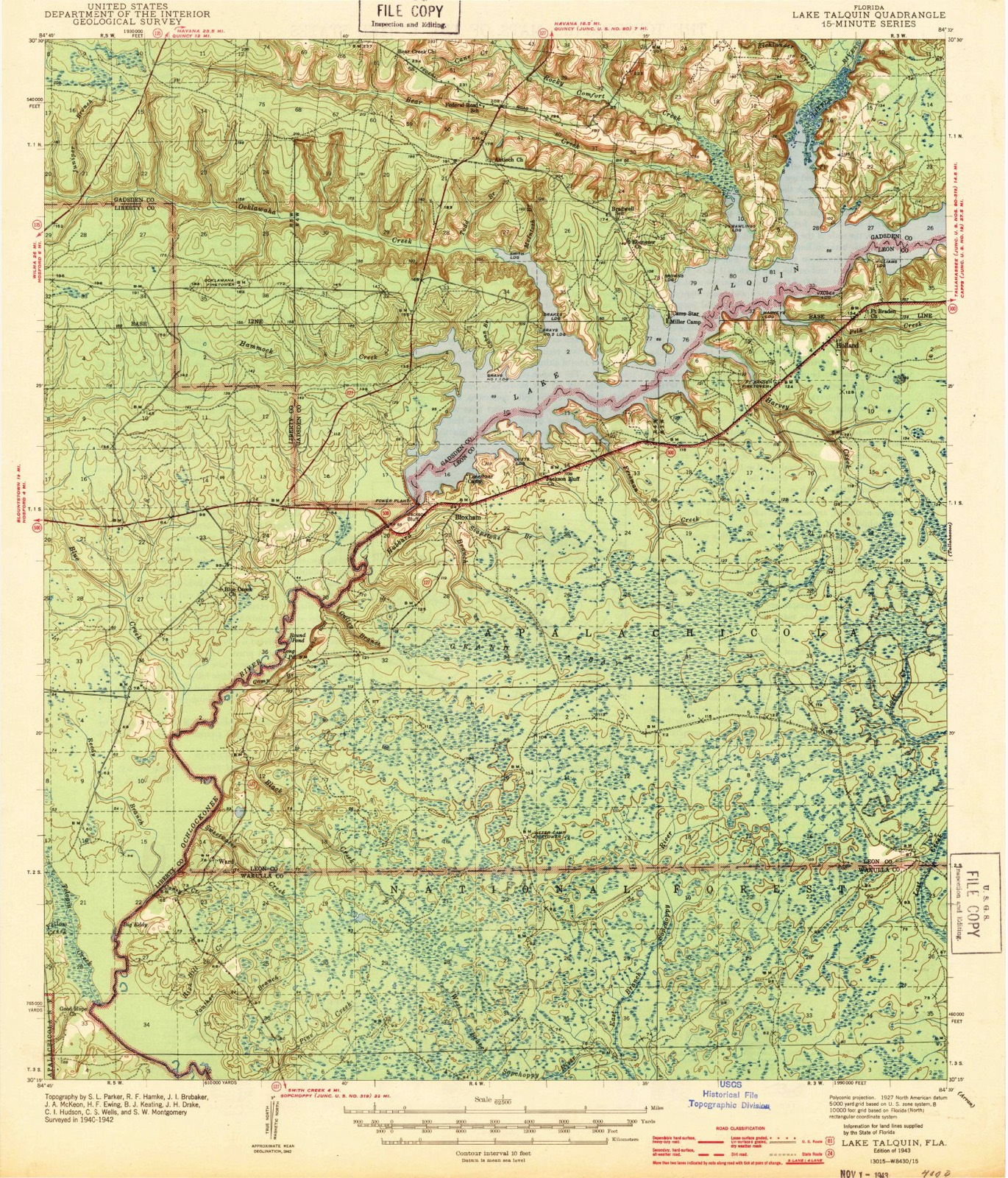
12 topographic sheets cover this place, the earliest surveyed in 1943 and the latest in 1988. It stands in the Southwest Leon census division. It lies in ZIP code area 32310. It stands on Polk Creek. The Survey maps it on the Lake Talquin quadrangle.
Then and now
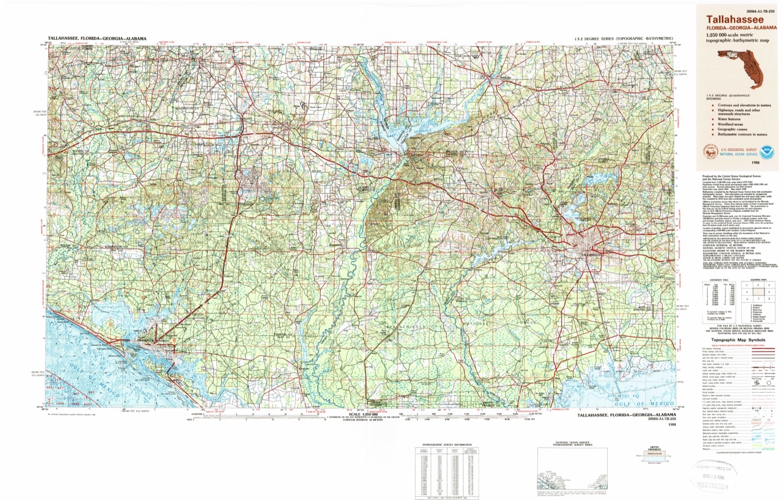
1943 to 1988The same ground, surveyed 45 years apart. Drag the handle to wipe between them. Both sheets are United States Geological Survey originals; neither has been altered.
Compare 1943 against another survey:
On record in Fort Braden
Buildings and businesses the archive holds for this place. Each opens its own page, with the source record it came from.
On the National Register within a mile 1 record
The National Register names another town for these. They stand within one mile of this settlement's coordinate.
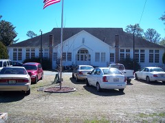 Fort Braden School, Oldlisted 1994 · 0.3 miles away
Topographic sheets covering this place
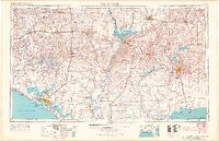
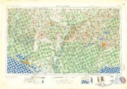
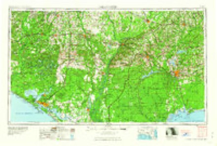
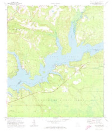
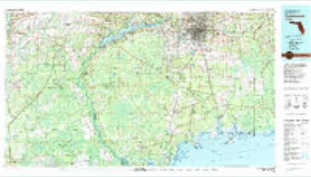
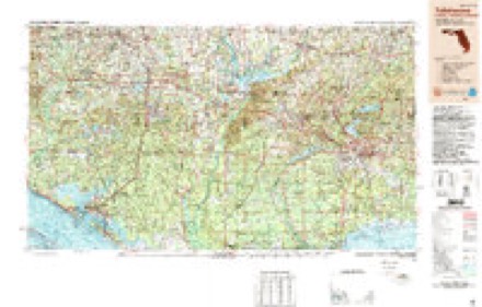
7 surveys from 12 printed sheetsMatched by testing this settlement's coordinate against the published boundary of every sheet in the United States Geological Survey's historical collection. Each opens the scanned sheet at the Survey.
- 1943 USGS Lake Talquin quadrangle1:62500, 2 printings
- 1954 USGS Tallahassee quadrangle1:250000, 4 printings
- 1959 USGS Tallahassee quadrangle1:250000
- 1960 USGS Tallahassee quadrangle1:250000
- 1972 USGS Lake Talquin quadrangle1:24000
- 1979 USGS Tallahassee quadrangle1:100000
- 1988 USGS Tallahassee quadrangle1:250000, 2 printings
Fires near this place
99 since 1992Regional context, not property-specific evidence. The federal wildfire occurrence database lists 99 fires within 5 miles of Fort Braden between 1992 and 2019, burning about 1,613 acres in total. 31 started naturally. 10 were recorded as arson. Distance is straight-line from the map coordinates, so a fire counted here may appear on a neighbouring settlement's page as well.
| Reported cause | Fires |
|---|---|
| Natural | 31 |
| Debris and open burning | 21 |
| Arson/incendiarism | 10 |
| Recreation and ceremony | 9 |
| Railroad operations and maintenance | 9 |
| Equipment and vehicle use | 8 |
| Missing data/not specified/undetermined | 7 |
| Other causes | 1 |
| Misuse of fire by a minor | 1 |
| Power generation/transmission/distribution | 1 |
| Smoking | 1 |
The most recent of them, most recent first, with the day each was reported and the service that recorded it.
| Date | Cause | Size | Reported by | Name on the report |
|---|---|---|---|---|
| 8 September 2003 | Equipment and vehicle use | under an acre | National Forests in Florida | ONE TON |
| 4 September 1992 | Railroad operations and maintenance | 13 acres | Florida Forest Service | not named |
| 3 September 1992 | Debris and open burning | 2.0 acres | National Forests in Florida | not named |
| 26 September 1996 | Railroad operations and maintenance | under an acre | Florida Forest Service | not named |
| 20 September 2015 | Missing data/not specified/undetermined | 2.4 acres | National Forests in Florida | 2A |
| 16 September 2013 | Natural | 24 acres | Florida Forest Service | MULE CREEK (20) |
| 16 September 1995 | Arson/incendiarism | 30 acres | National Forests in Florida | DIRTY TRUCK |
| 12 September 2010 | Natural | 46 acres | National Forests in Florida | CRIMSON |
Settlements close enough to share some of these fires:
Storms near this place
7 since 2012Regional context, not property-specific evidence. The National Weather Service names Fort Braden in 7 storm reports between 2012 and 2024: 3 tornado, 3 thunderstorm wind, 1 heavy rain. The reports record 2 deaths. Each account below is quoted exactly as the forecast office filed it, from the NOAA Storm Events Database, and each date opens the federal record of that event.
| When | Event | Place named | Harm | What the report says |
|---|---|---|---|---|
| May 2024 | Tornado (EF2) | Fort Braden | 2 killed, $92,100,000 | The tornado touched down in Lake Talquin State Park at Williams Landing, promptly producing EF-1 damage snapping numerous softwood and hardwood trees. The tornado would then continue trekking east-southeast before making a hard right and traveling due east as it passed the intersection of Blountstown Highway and Ft. Braden Trail Road, producing damage consistent with an EF-1 rating by snapping numerous hardwood and softwood trees along the way. The tornado would then continue east, paralleling Blountstown Highway as it then impacted Lake Talquin State Recreational Area where it would continue producing EF-1 damage by snapping trees. The tornado would then shift its trajectory to east-southeast once again, impacting many subdivisions in the Norfleet neighborhood south of Blountstown Highway snapping numerous trees across the area. It would then continue on its east- southeast path before traveling east once again as it reached just north of the intersection of Capital Circle SW and Orange Ave W in Tallahassee. It would then go on to impact the neighborhoods of Seminole Manor and Mabry Manor snapping many trees along the way and causing damage to Sabal Palm Elementary School. The tornado would then continue its eastern track impacting Florida A&M University (FAMU) producing EF-1 damage by snapping numerous trees along the way. This included roof damage to at least two university buildings. EF-0 damage was observed a handful of times to eve's on homes and businesses as well as occasional shingle damage. The tornado would continue moving east toward Capital City Country Club Golf Course producing EF-1 damage by snapping numerous trees along the way and across the golf course. The tracks of both tornadoes moving through Tallahassee at this time converged at Capital City Country Club, with this tornado seemingly becoming the dominant circulation moving forward. As the tornado exited the golf course, very intense tree damage consistent with an EF-2 rating was observed as numerous trees were snapped at a height of around 75 feet. This most intense tree damage occurred from Country Club Dr. through the Indian Head Acres subdivisions. This is where the maximum estimated winds of 115mph most likely occurred. EF-1 damage would be observed through the remainder of its eastern trajectory as the tornado impacted Old St. Augustine Rd. It would go on producing EF-1 tree damage within the subdivision of Paradise Village East, Old Friends Rd, and areas along Southwood Plantation Rd before moving on to mostly forested areas north of Old St. Augustine Rd. The last concentrated area of EF-1 damage would be observed in neighborhoods along Louvinia Drive and WW Lee Road. The tornado would then continue east before uprooting a few trees along U.S. 27 as it moved to the Leon-Jefferson county line before dissipating. The tornado reached its maximum width of 1400yds as it crossed Monroe St. in downtown Tallahassee and entered into the Capital City Country Club Golf Course. Unfortunately, two fatalities occurred in association with this tornado, both due to trees falling. In one case, trees fell through a mobile home, and in the other case, a tree fell on a person who was outdoors. |
| January 2021 | Tornado (EF1) | Fort Braden | $5,000 | A tornado initially touched down on Oscar Harvey Rd., snapping some tree tops. The tornado then did damage consistent with an EF1 rating at Blountstown Highway and Seabs Rd. Several large live oak trees were uprooted and several out buildings were destroyed. Winds peaked around 90 mph in this area. The tornado lifted over the Apalachicola National Forest just east of the property. Damage cost was estimated. |
| March 2021 | Thunderstorm Wind | Fort Braden | $2,000 | A tree was blown down onto a power line near Oscar Harvey Road and Starr Hill Road. |
| July 2023 | Thunderstorm Wind | Fort Braden | - | A tree was blown down at National Forest Road 307. |
| May 2022 | Thunderstorm Wind | Fort Braden | - | A tree was blown down on Bloxham Cutoff between Forest Road 360 and Forest Road 342. |
| April 2021 | Tornado (EF0) | Fort Braden | - | A brief tornado touched down in a forested area west of Tallahassee with no structural damage reported. The only damage was to trees with a dual-pol tornadic debris signature evident from TLH radar. |
| March 2012 | Heavy Rain | Fort Braden | - | A 24 hour total of 4.10 inches was measured by FL-LN-18. |
Nearest settlements
The eight closest, with where each one stands in the county. Distances are straight-line, computed from the Geographic Names Information System coordinates.
| Map | Place | Distance | Sheets |
|---|---|---|---|
| Holland | 0.4 miles | 12 | |
| Bloxham | 5.5 miles | 13 | |
| Jackson Bluff | 6.0 miles | 13 | |
| Cohowfoochee (historical) | 6.4 miles | 13 | |
| Andrew | 6.9 miles | 16 | |
| McCaln | 7.4 miles | 16 | |
| Ochlockonee | 7.7 miles | 16 | |
| Norfleet | 7.8 miles | 16 |
Provenance
This settlement is recorded in the Geographic Names Information System as feature 306901. The sheet list is computed by point-in-boundary test against the United States Geological Survey's historical topographic inventory. Both are works of the United States government and carry no copyright under 17 U.S.C. 105.
Wildfire. Short, Karen C. 2022. Spatial wildfire occurrence data for the United States, 1992-2020 [FPA_FOD_20221014]. 6th Edition. Fort Collins, CO: Forest Service Research Data Archive. https://doi.org/10.2737/RDS-2013-0009.6 Collected with United States Government funding and usable without additional permissions or fees.
Storms. NOAA National Centers for Environmental Information, Storm Events Database https://www.ncei.noaa.gov/stormevents/ A work of the United States government, no copyright under 17 U.S.C. 105. Narratives are quoted verbatim from the National Weather Service report and are not edited or summarised.