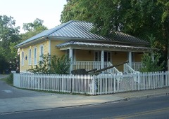
Block
BlockFrom the record
72 National Register listings published here, 1 of them a National Historic Landmark.
Sources: the National Register database, National Park Service
66 topographic sheets cover 49 settlements here, and 72 properties are on the National Register of Historic Places.
72 National Register listings published here, 1 of them a National Historic Landmark.
Sources: the National Register database, National Park Service
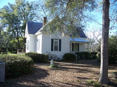
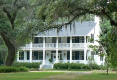
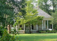
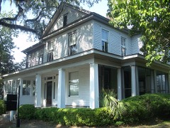
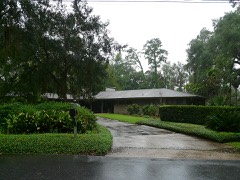
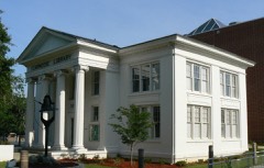
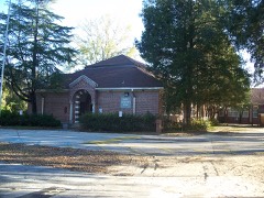
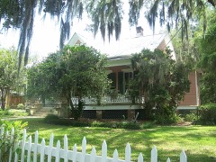
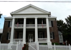
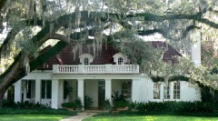
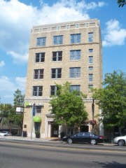
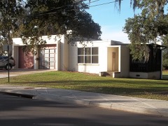
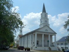
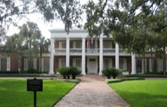
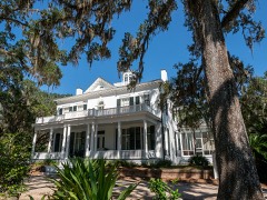
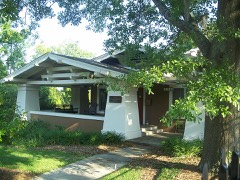
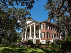
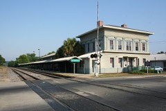
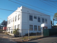
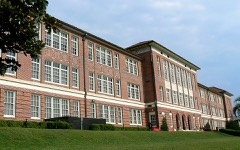
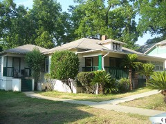
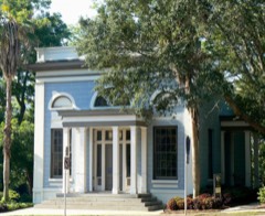
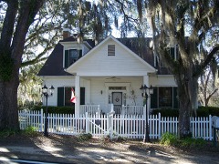
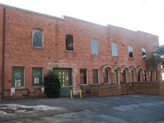
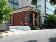
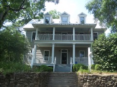
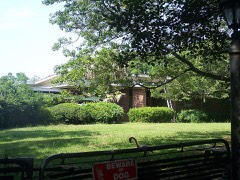
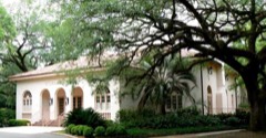
Every property in this county listed on the National Register of Historic Places, with the year it was listed and the federal nomination document.
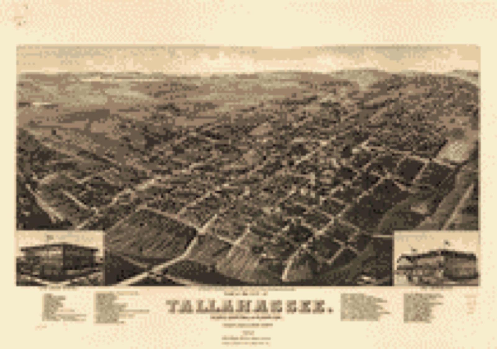
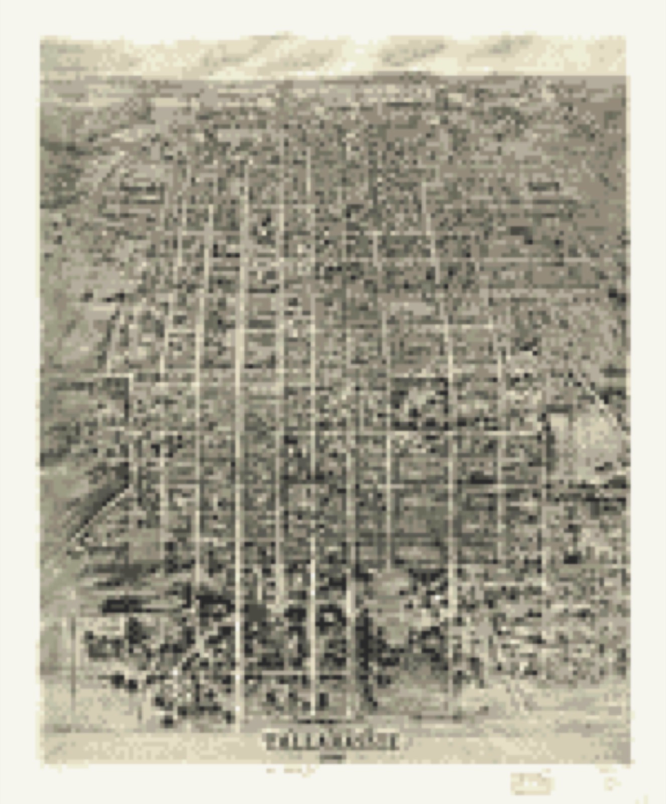
Drawn when these were printed as single large sheets: the town seen from the air, and the county divided into its farms with every owner named. Each opens the original at the Library of Congress.

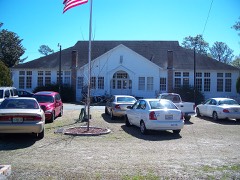
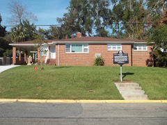
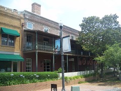
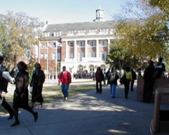
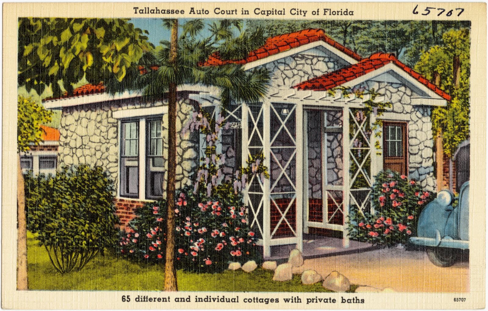
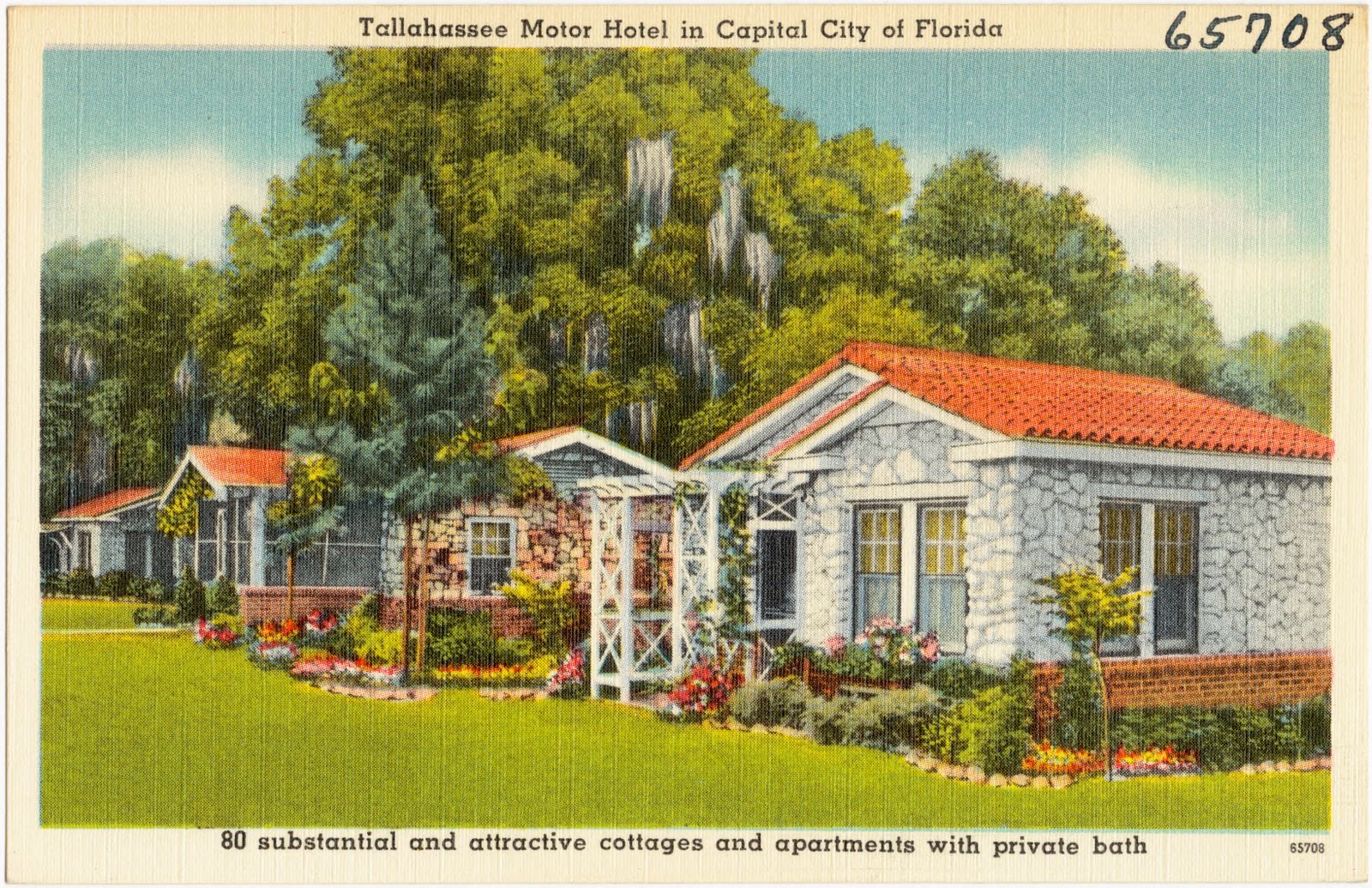
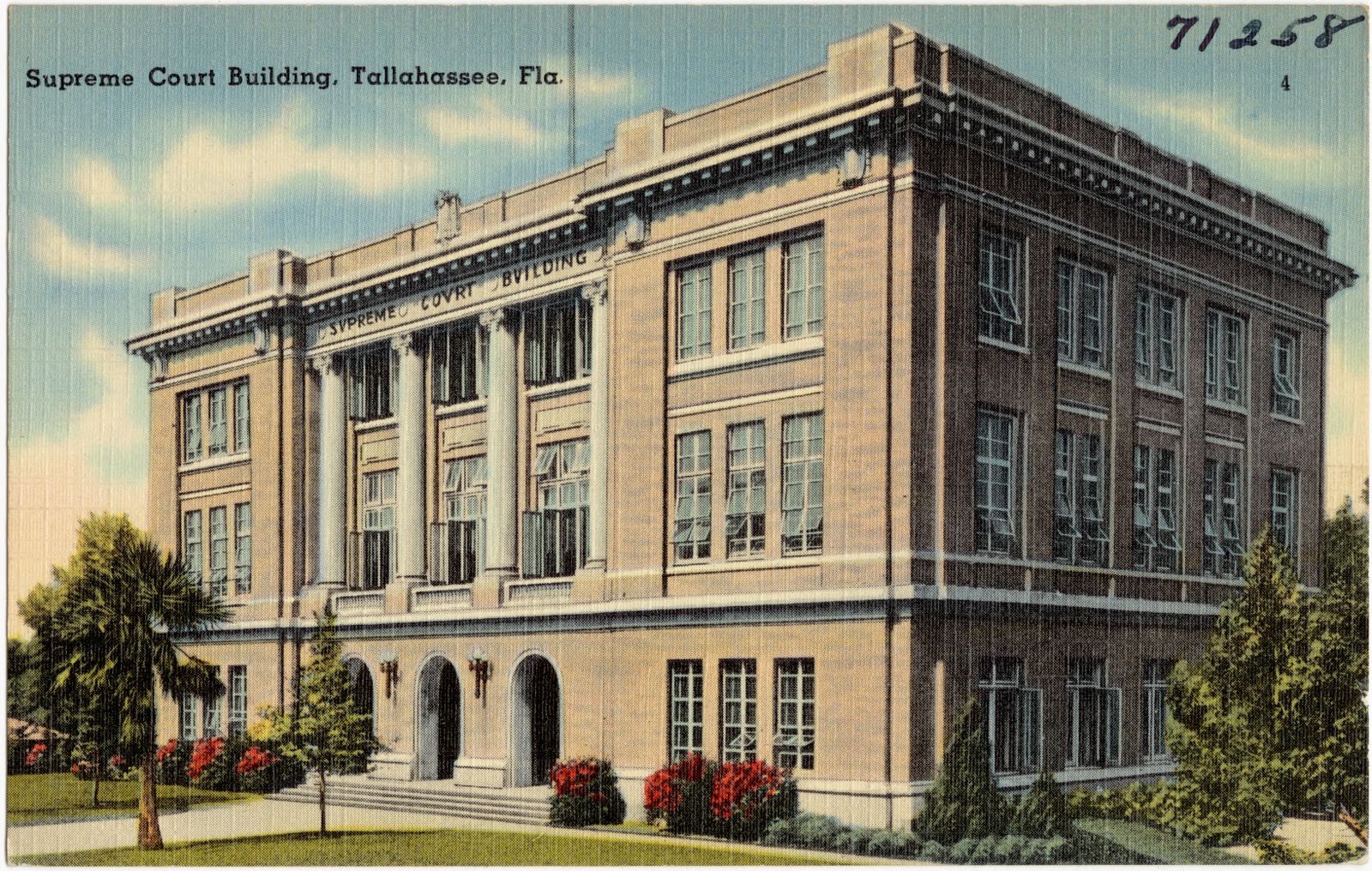
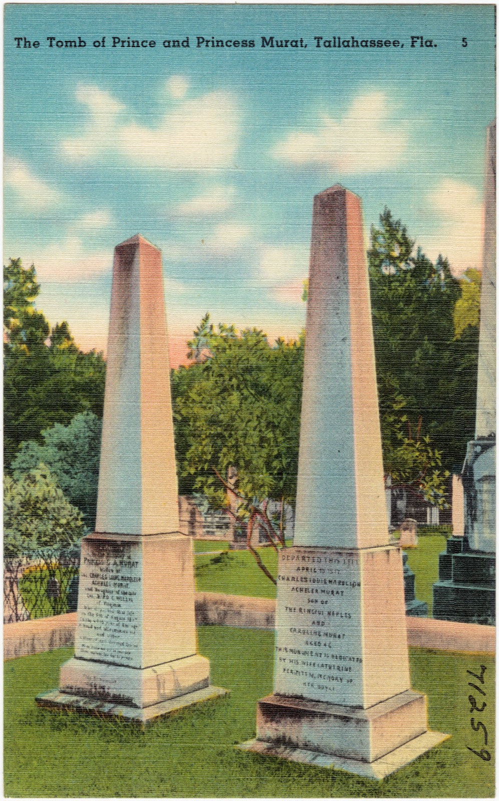
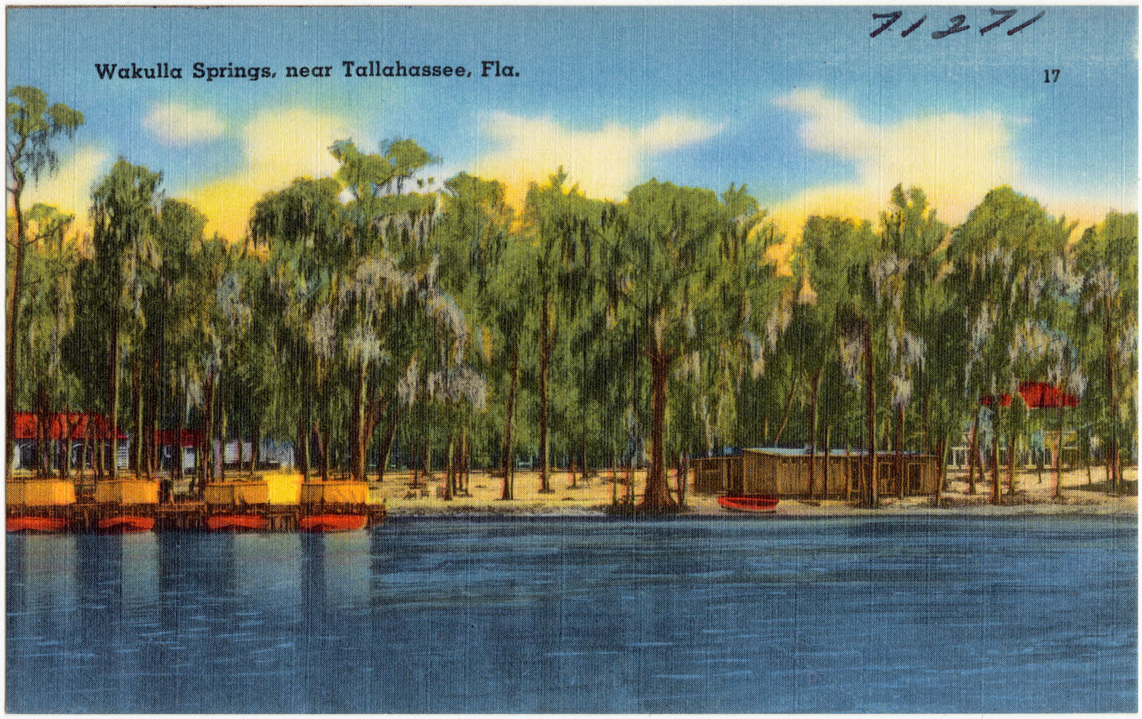
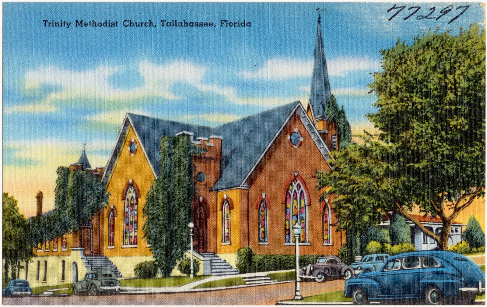
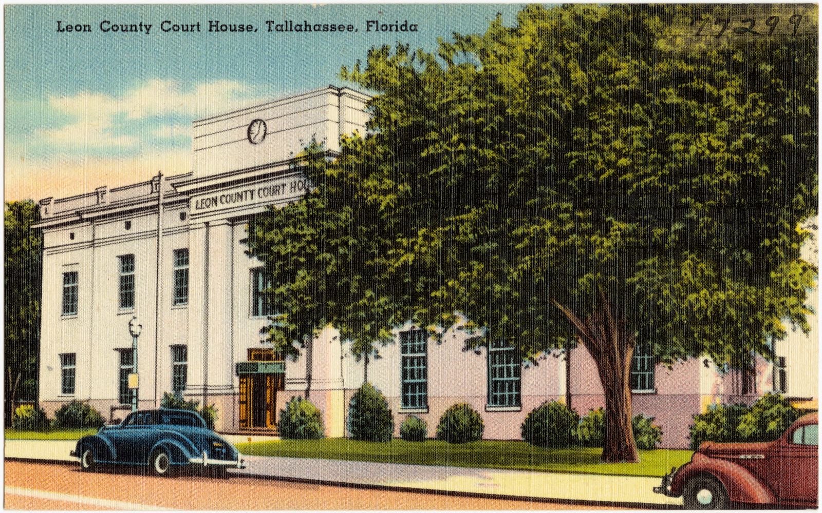
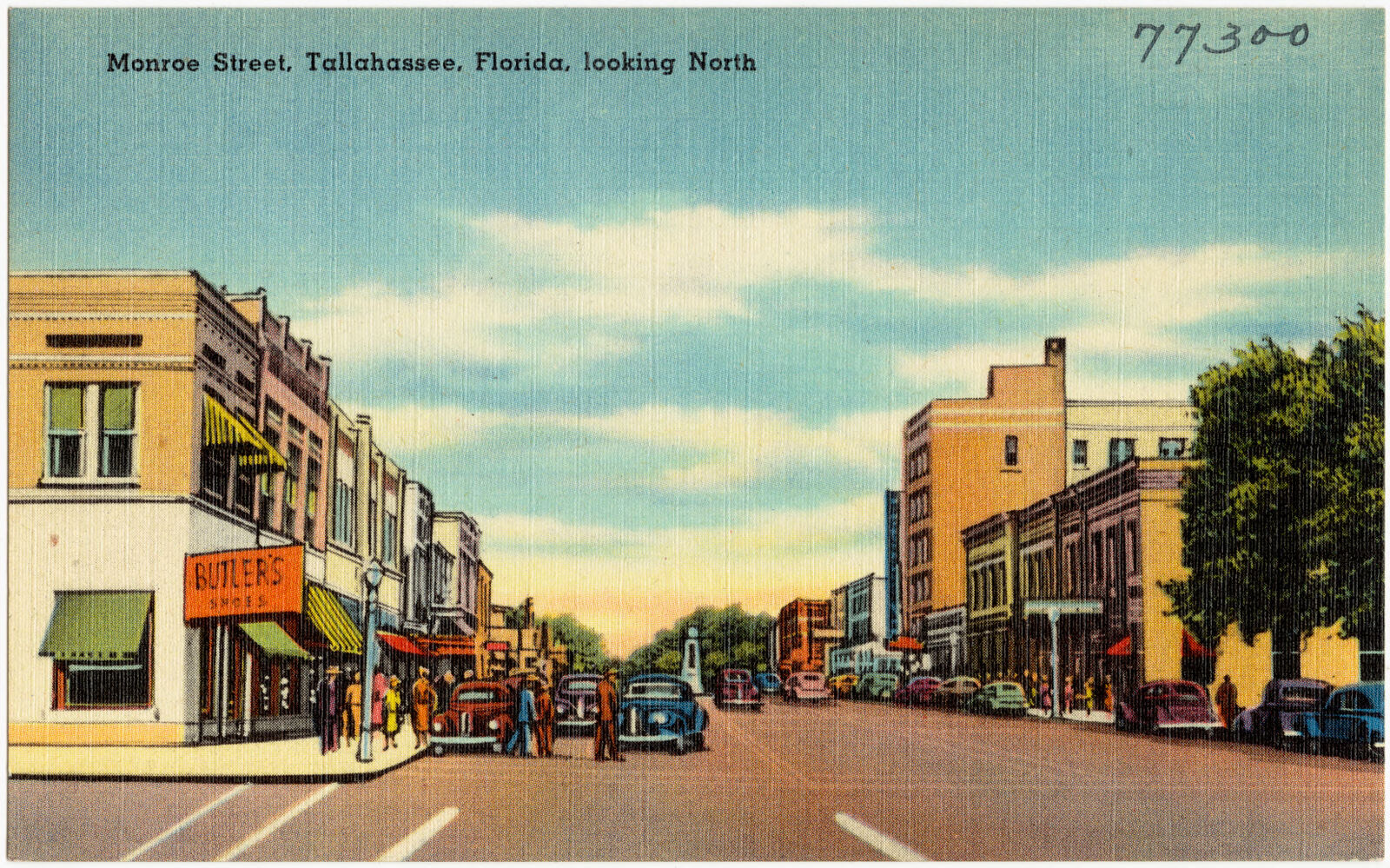
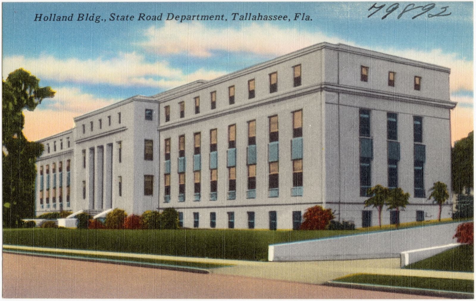
Selected from the Digital Public Library of America's 64 image records catalogued for this county. Every one shown here carries a public-domain status or a licence that permits reuse on a site that carries advertising; non-commercial, share-alike and restricted images are excluded. The selection is spread across the county's towns (at most eight per town), so no single institution's bulk upload crowds out the rest. Each opens the holding library's record, and the complete set at the Digital Public Library of America is one click away.
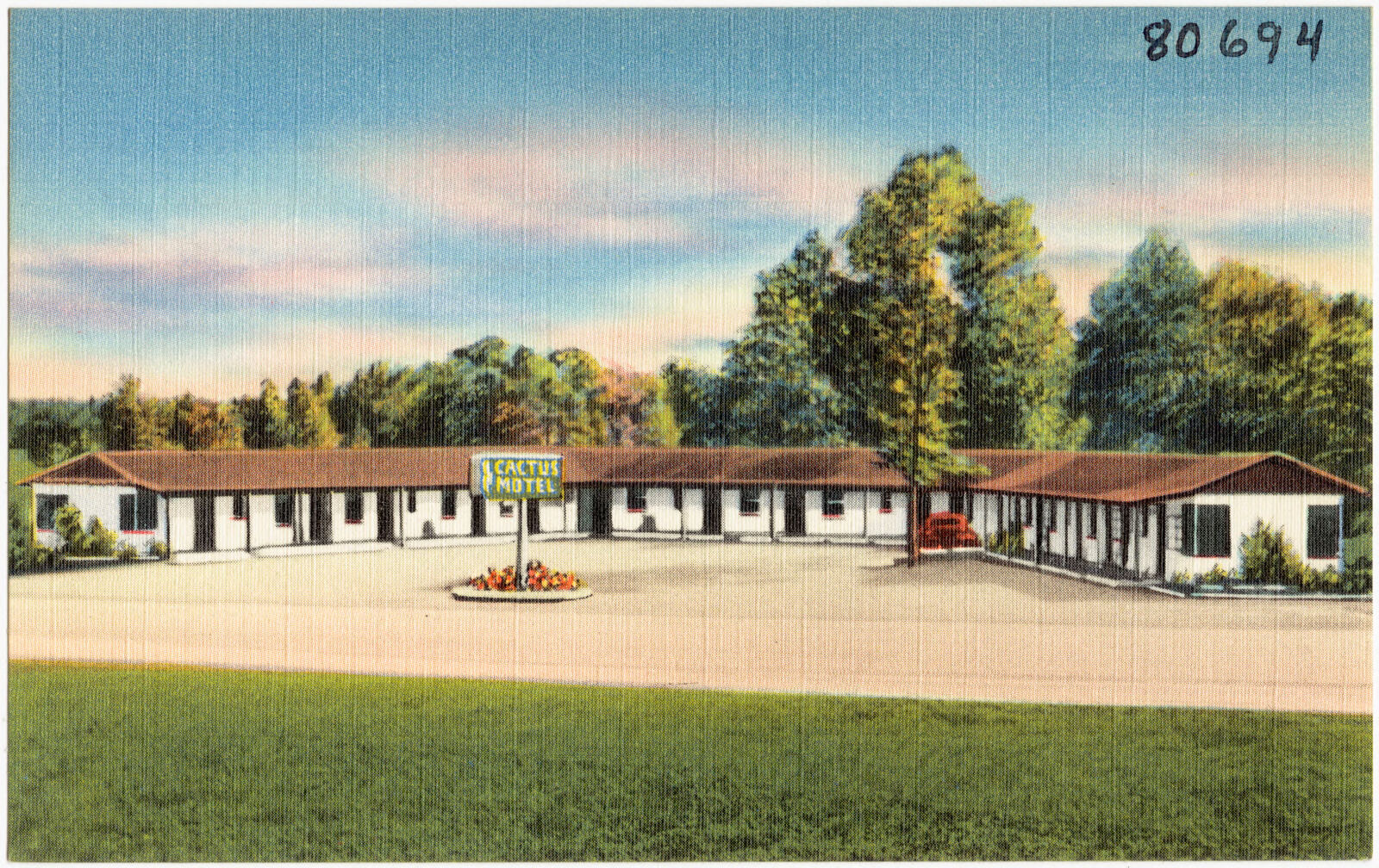
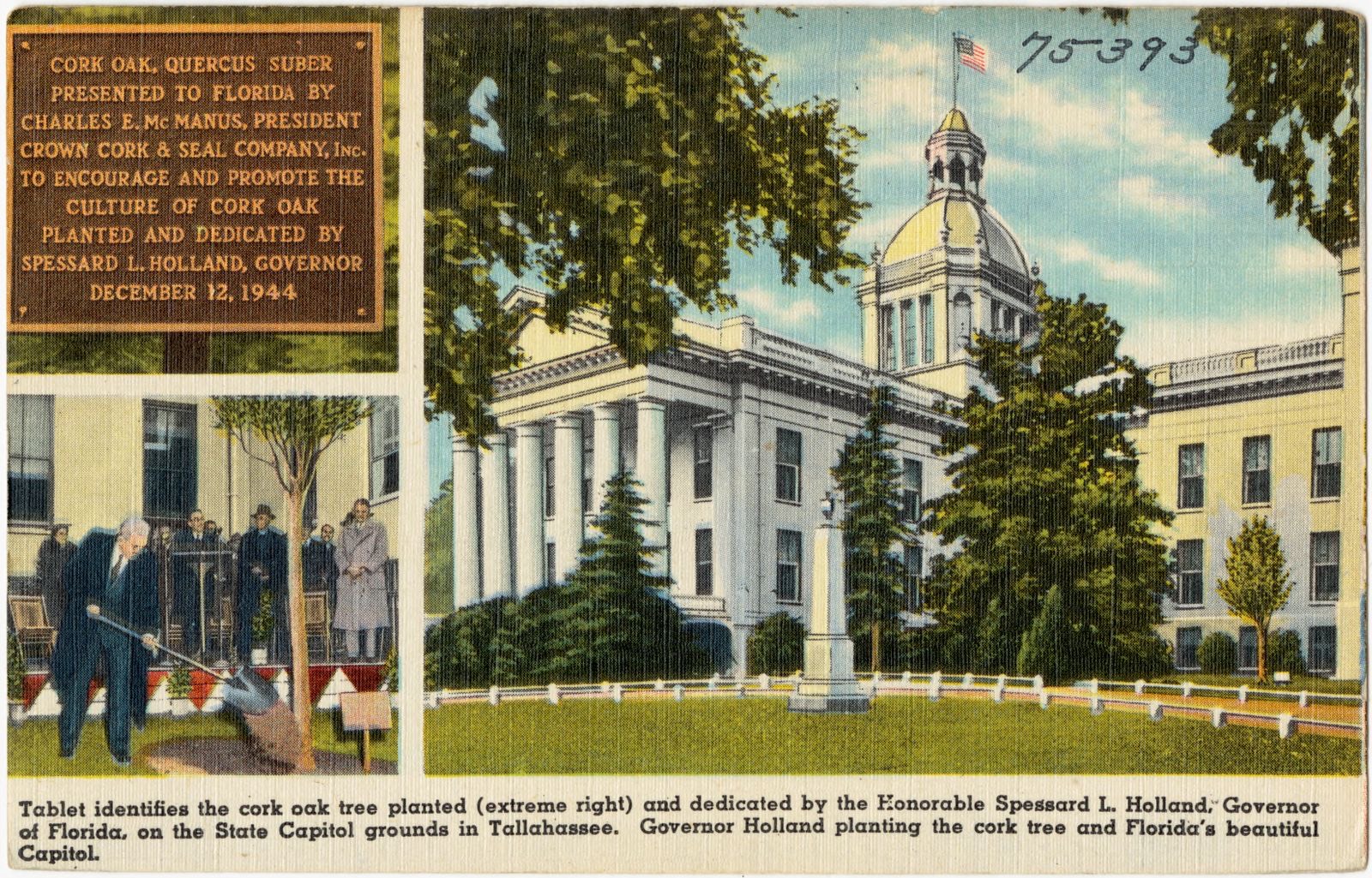
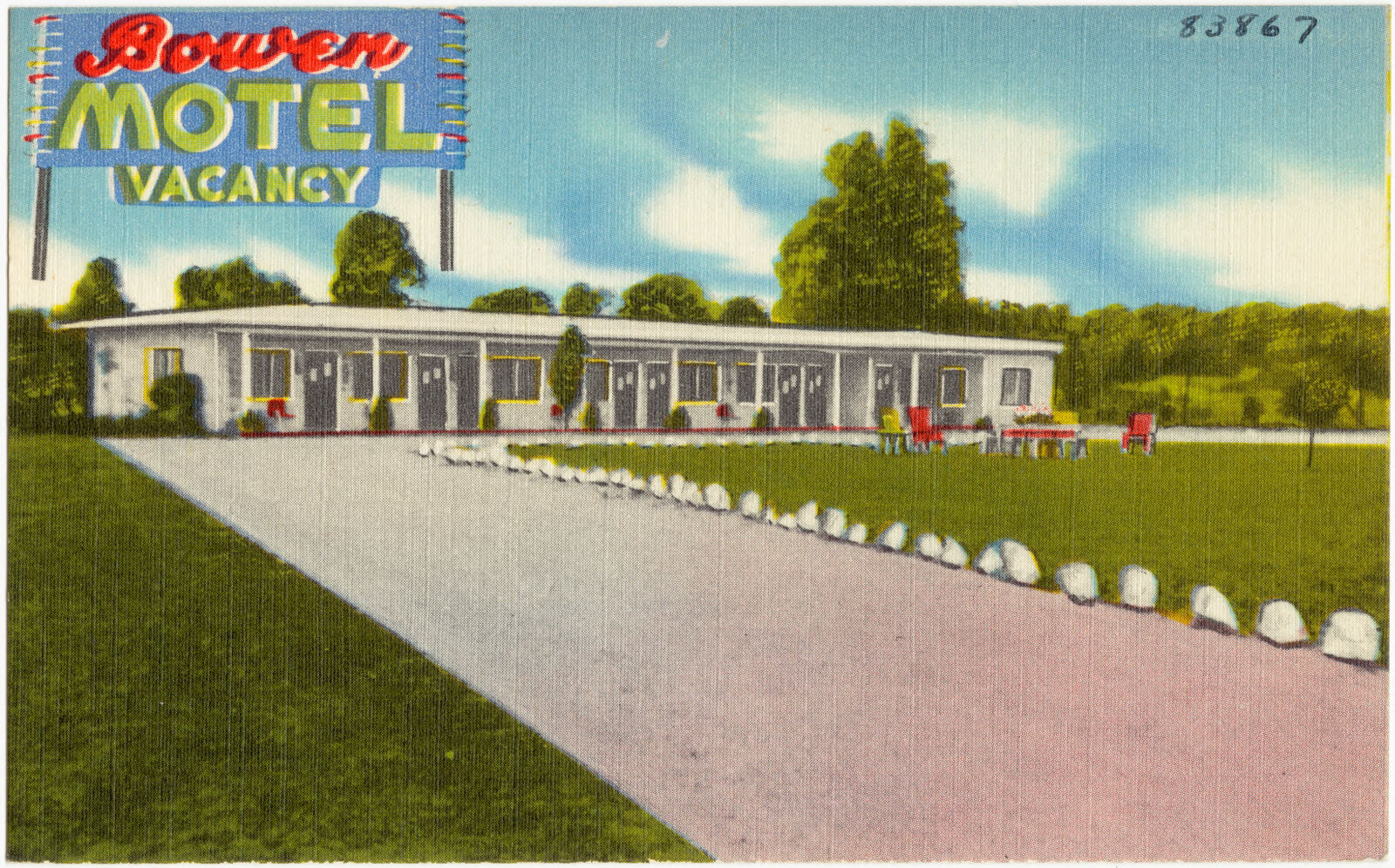
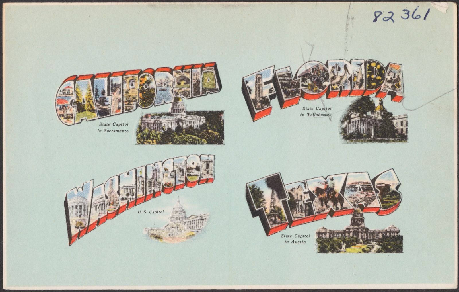
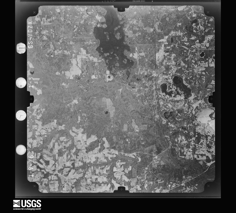
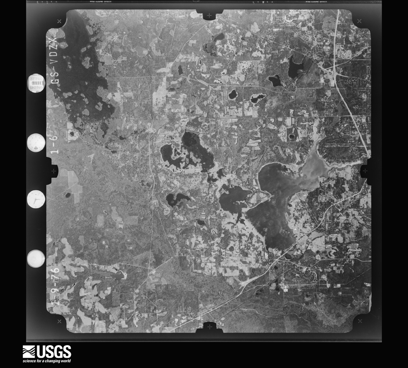
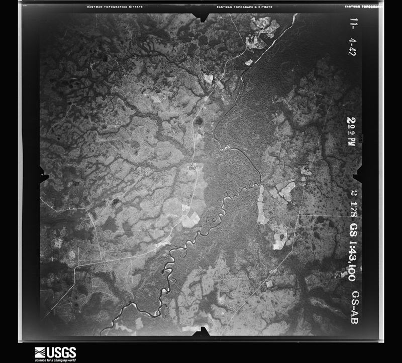
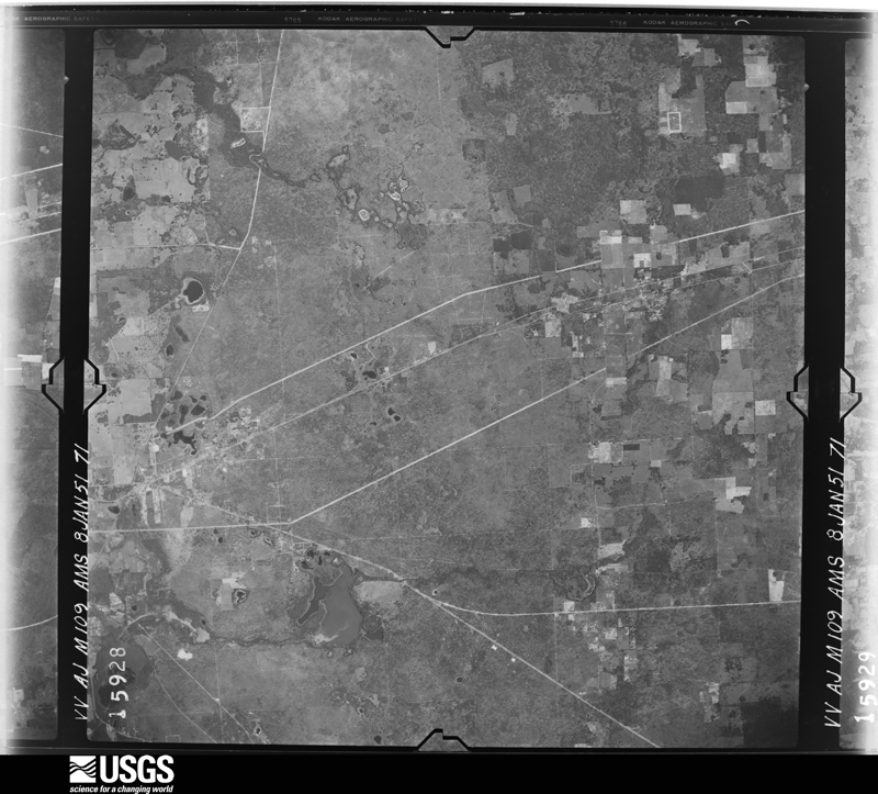
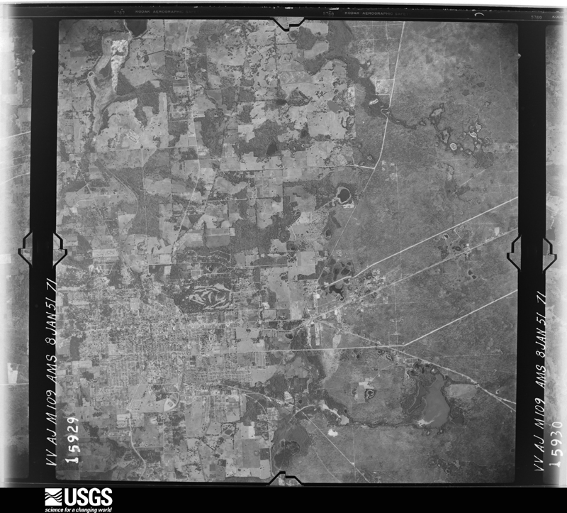
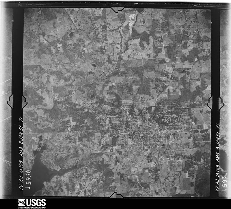
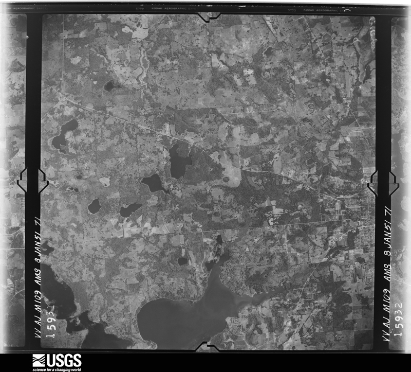
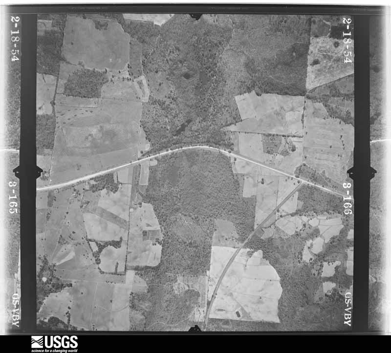
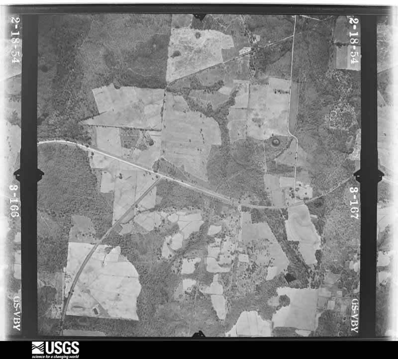
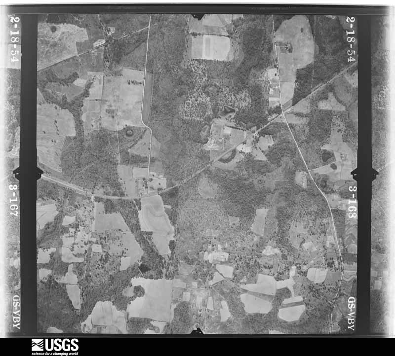
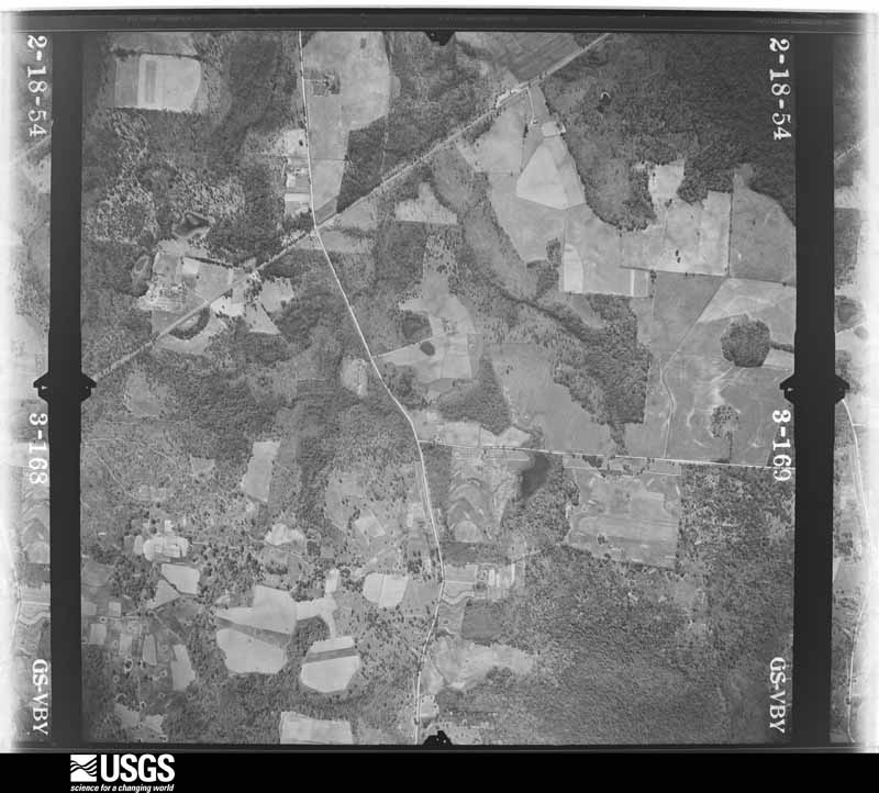
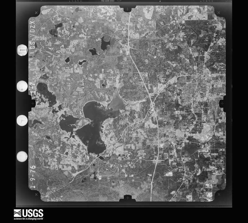
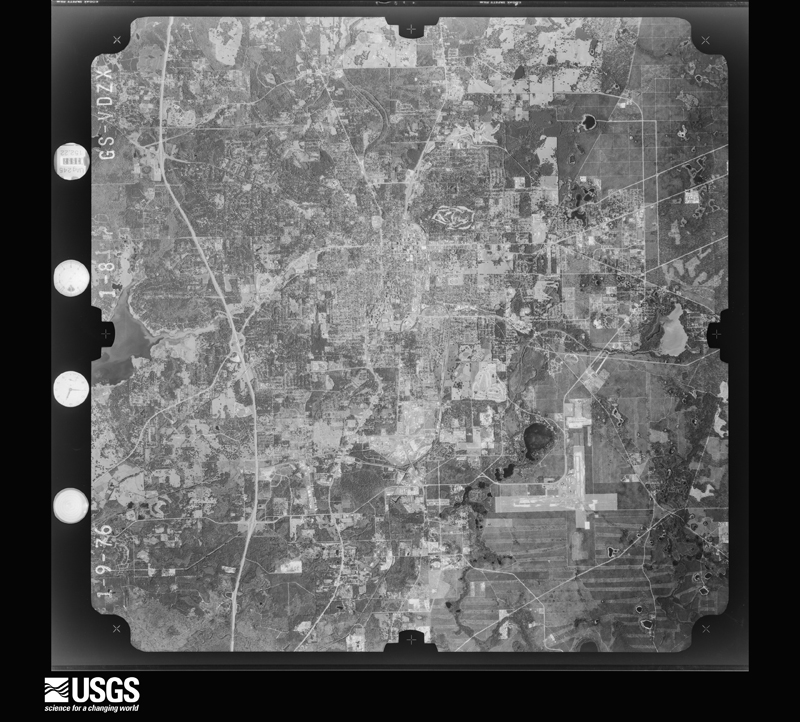
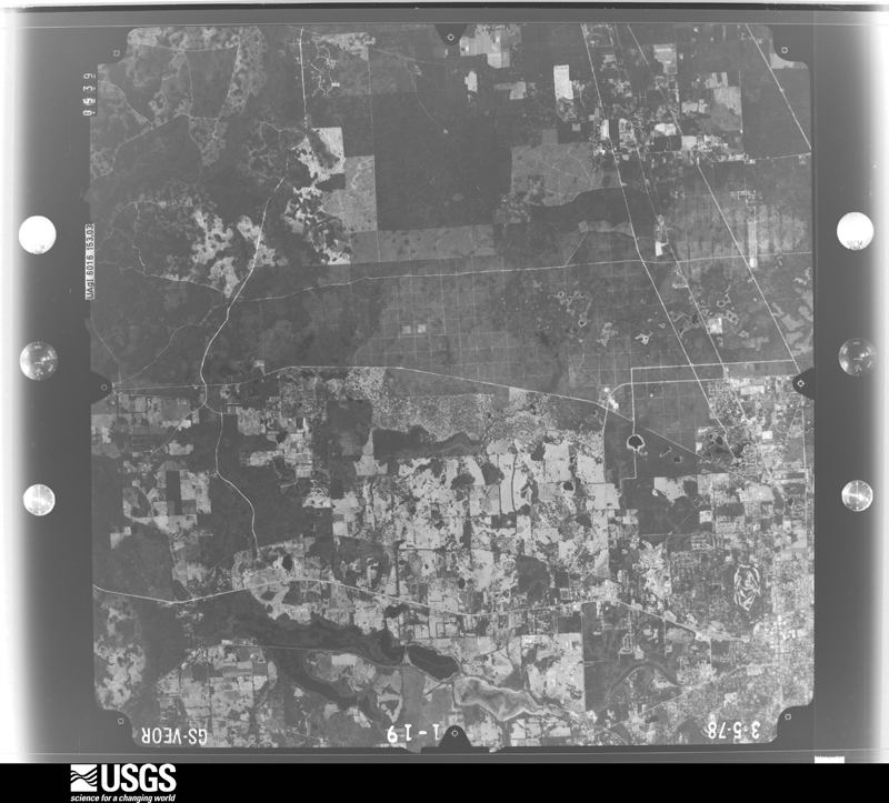
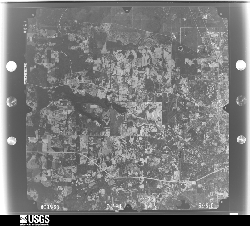
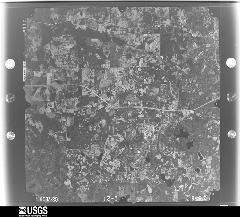
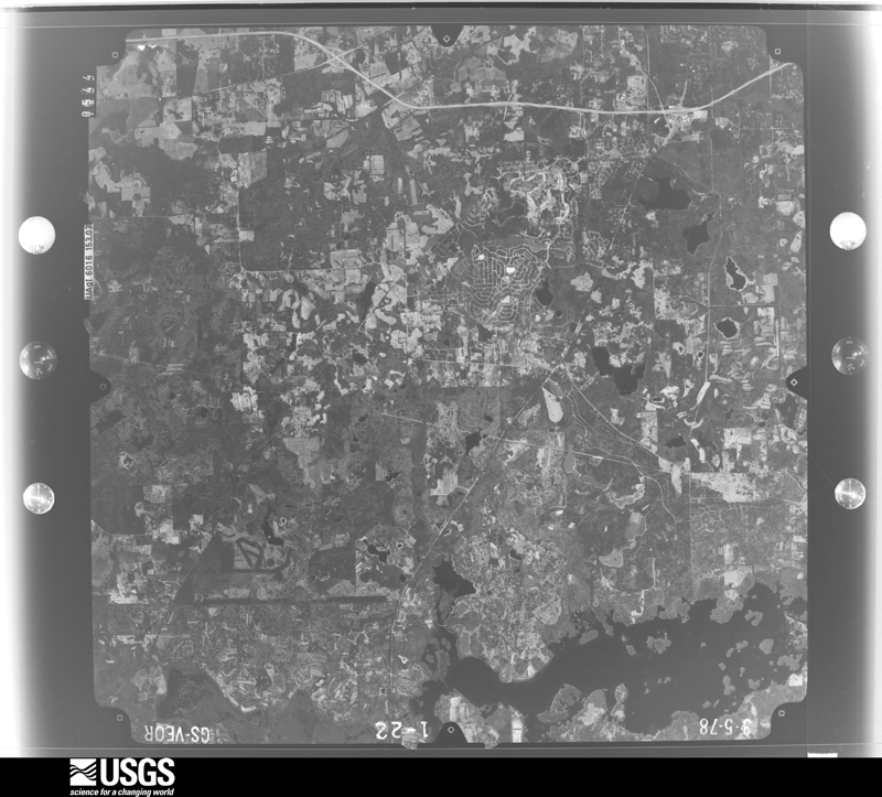
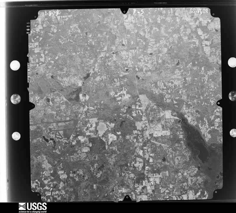
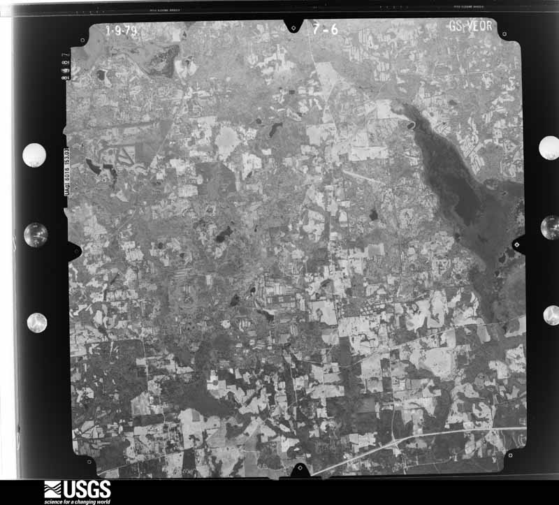
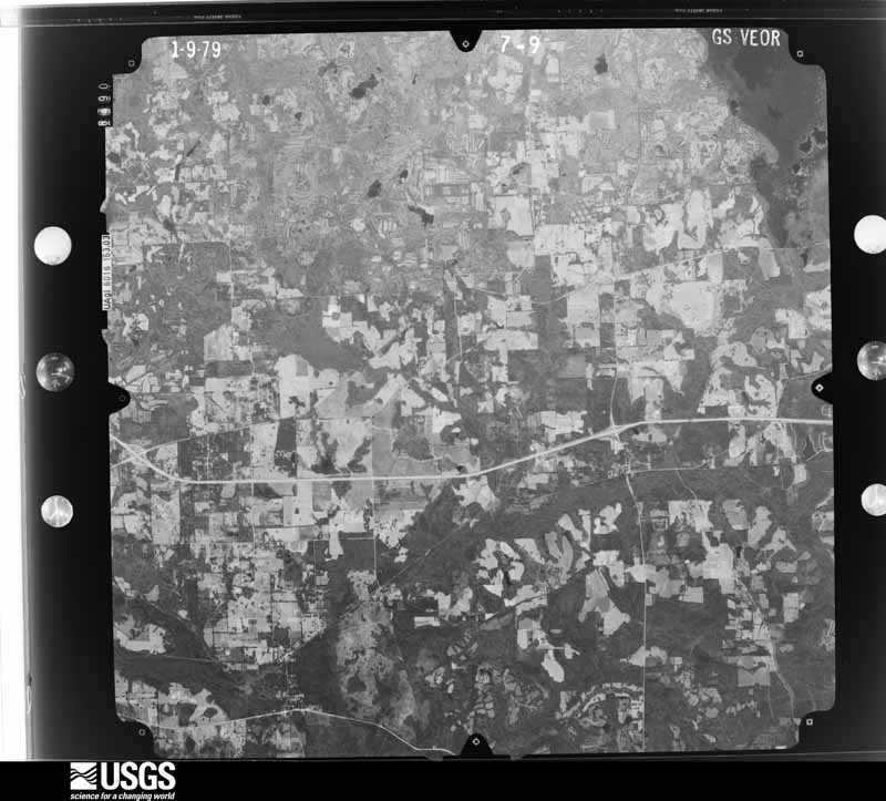
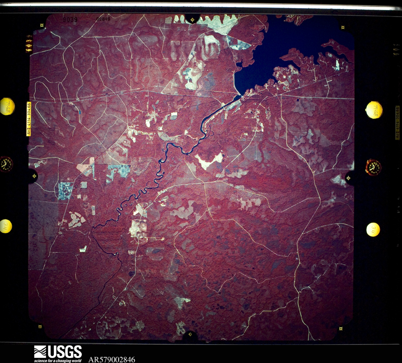
Flown by the U.S. Geological Survey between 1937 and 1989, the Aerial Photo Single Frames collection is the definitive mid-century view of the land: fields, roads and rivers as the camera saw them. The Survey holds 1,733 frames inside the rectangle that bounds this county; the 33 frames below were taken over the county itself, chosen across the decades of flights (at most four a year from that rectangle), so one flight cannot crowd out the rest. The full set is free to browse and download at EarthExplorer under the dataset Aerial Photo Single Frames.
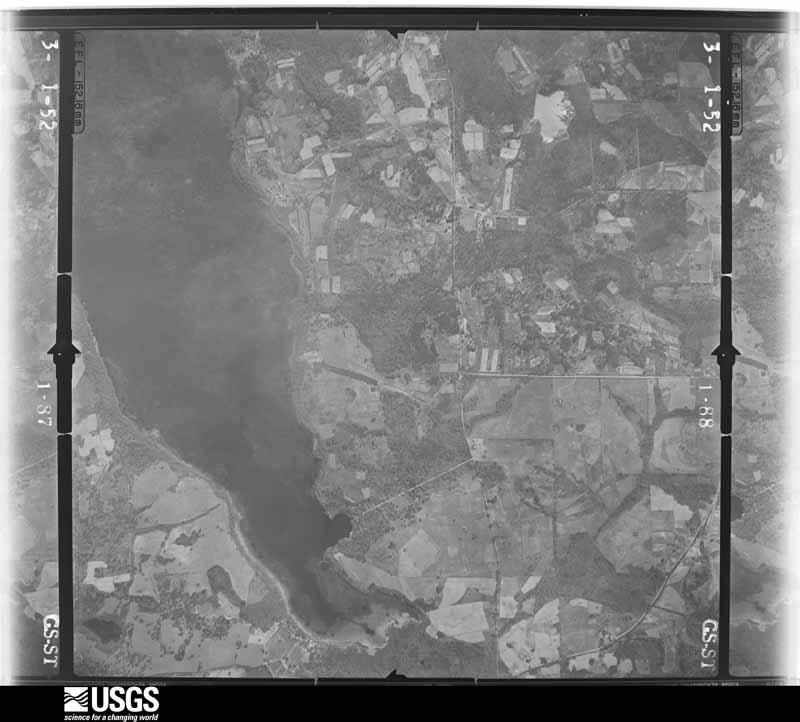
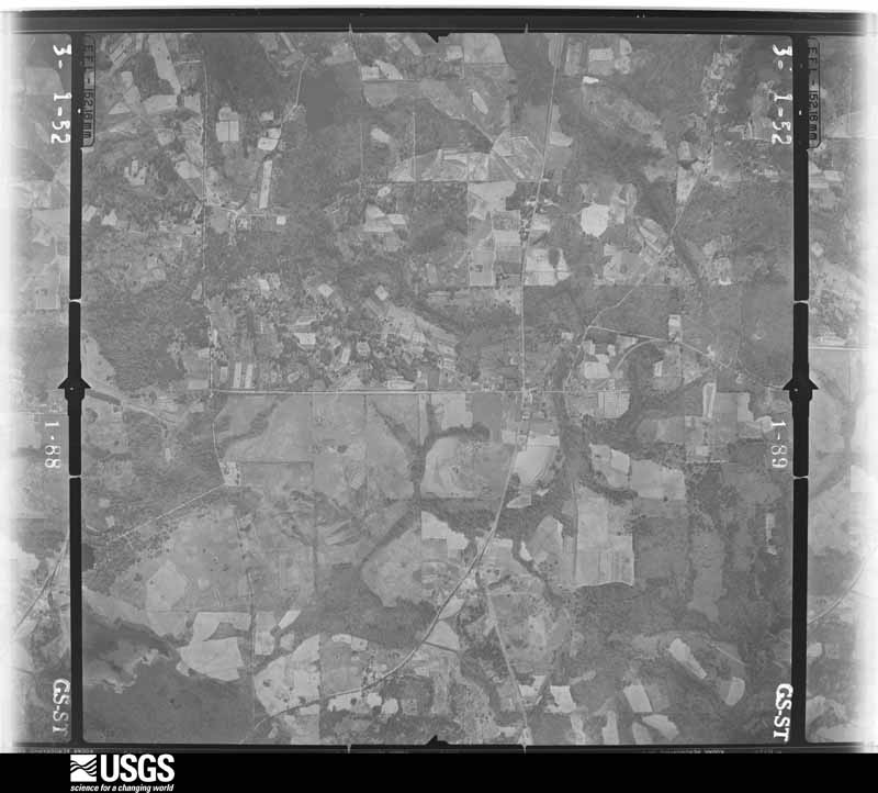
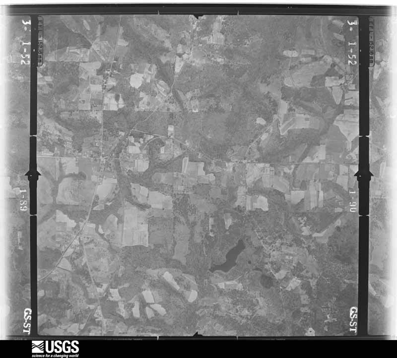
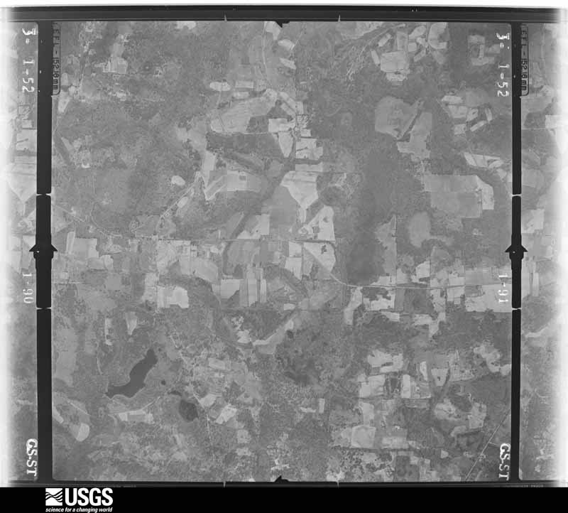
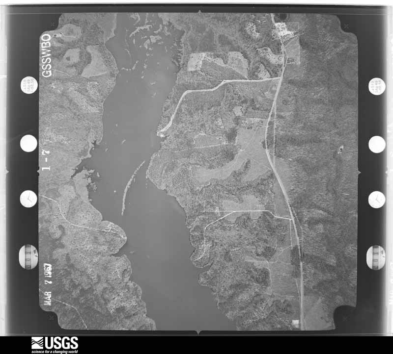
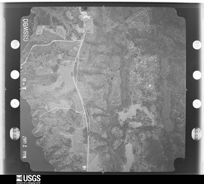
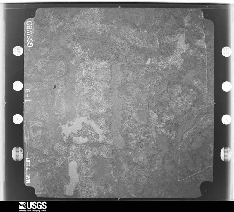
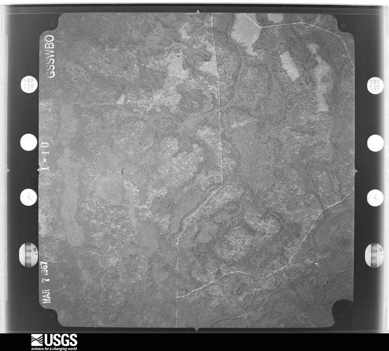
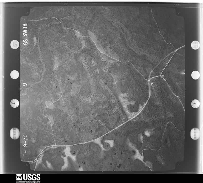
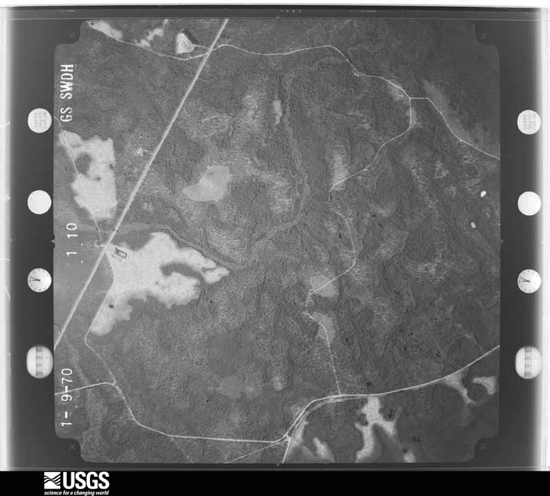
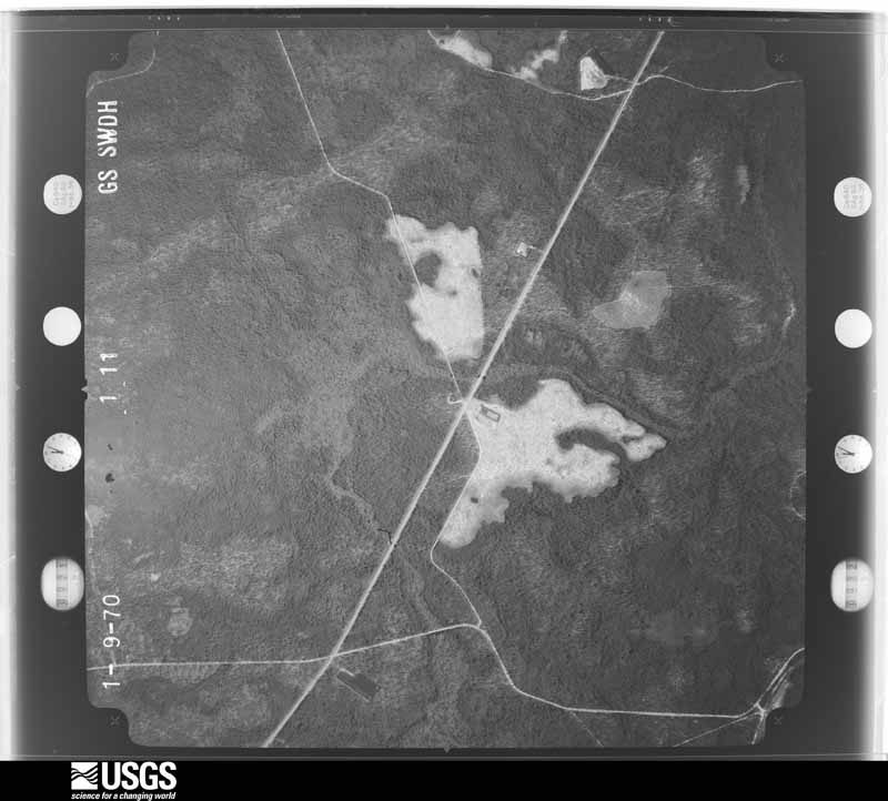
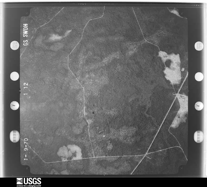
The thermometers that kept this county's weather, and the gages that measured the flow of its streams, as the federal records hold them. The extremes below are measured values from those records, not estimates.
Who lived here in 1950, one enumeration district at a time, as the Census Bureau described each district. Each row opens its official National Archives result, with Population Schedules and ED Maps available there.
Every wildfire the federal occurrence database records inside this county: 740 of them, burning about 14,724 acres. 144 started naturally and 78 were recorded as arson. Each settlement page carries the fires within five miles of it.
| Reported cause | Fires |
|---|---|
| Natural | 144 |
| Debris and open burning | 136 |
| Missing data/not specified/undetermined | 111 |
| Railroad operations and maintenance | 95 |
| Arson/incendiarism | 78 |
| Equipment and vehicle use | 61 |
| Recreation and ceremony | 55 |
| Misuse of fire by a minor | 34 |
| Smoking | 16 |
| Power generation/transmission/distribution | 8 |
| Other causes | 2 |
The five largest, by the area the report gives. None of them was recorded as arson.
| Date | Cause | Size | Reported by | Name on the report |
|---|---|---|---|---|
| 11 September 2019 | Natural | 2,246 acres | National Forests in Florida | 344-D |
| 9 July 2012 | Natural | 1,356 acres | National Forests in Florida | BROWN HOUSE |
| 12 February 2012 | Debris and open burning | 793 acres | National Forests in Florida | GRAND BAY |
| 6 June 2011 | Natural | 630 acres | National Forests in Florida | 4A |
| 1 May 2011 | Natural | 602 acres | National Forests in Florida | LIMEROCK |
| 28 May 2019 | Natural | 521 acres | National Forests in Florida | 360G |
| 27 May 2014 | Natural | 484 acres | National Forests in Florida | 360A |
| 9 May 2018 | Missing data/not specified/undetermined | 334 acres | National Forests in Florida | QUAIL |
Every settlement page carries the fires within five miles of it - see the settlement index below.
The NOAA Storm Events Database holds 1,248 reports for this county, causing 7 deaths, 12 injuries and about $240,878,030 in recorded property damage. Each settlement page carries the reports that name it.
| Kind of event | Reports |
|---|---|
| Thunderstorm Wind | 830 |
| Hail | 139 |
| Flash Flood | 98 |
| Heavy Rain | 72 |
| Tornado | 37 |
| Lightning | 37 |
| Flood | 29 |
| Funnel Cloud | 6 |
The most serious of them, by death, then injury, then recorded damage. The accounts are quoted exactly as the forecast office filed them.
| When | Event | Place named | Harm | What the report says |
|---|---|---|---|---|
| May 2024 | Tornado (EF2) | Fort Braden | 2 killed, $92,100,000 | The tornado touched down in Lake Talquin State Park at Williams Landing, promptly producing EF-1 damage snapping numerous softwood and hardwood trees. The tornado would then continue trekking east-southeast before making a hard right and traveling due east as it passed the intersection of Blountstown Highway and Ft. Braden Trail Road, producing damage consistent with an EF-1 rating by snapping numerous hardwood and softwood trees along the way. The tornado would then continue east, paralleling Blountstown Highway as it then impacted Lake Talquin State Recreational Area where it would continue producing EF-1 damage by snapping trees. The tornado would then shift its trajectory to east-southeast once again, impacting many subdivisions in the Norfleet neighborhood south of Blountstown Highway snapping numerous trees across the area. It would then continue on its east- southeast path before traveling east once again as it reached just north of the intersection of Capital Circle SW and Orange Ave W in Tallahassee. It would then go on to impact the neighborhoods of Seminole Manor and Mabry Manor snapping many trees along the way and causing damage to Sabal Palm Elementary School. The tornado would then continue its eastern track impacting Florida A&M University (FAMU) producing EF-1 damage by snapping numerous trees along the way. This included roof damage to at least two university buildings. EF-0 damage was observed a handful of times to eve's on homes and businesses as well as occasional shingle damage. The tornado would continue moving east toward Capital City Country Club Golf Course producing EF-1 damage by snapping numerous trees along the way and across the golf course. The tracks of both tornadoes moving through Tallahassee at this time converged at Capital City Country Club, with this tornado seemingly becoming the dominant circulation moving forward. As the tornado exited the golf course, very intense tree damage consistent with an EF-2 rating was observed as numerous trees were snapped at a height of around 75 feet. This most intense tree damage occurred from Country Club Dr. through the Indian Head Acres subdivisions. This is where the maximum estimated winds of 115mph most likely occurred. EF-1 damage would be observed through the remainder of its eastern trajectory as the tornado impacted Old St. Augustine Rd. It would go on producing EF-1 tree damage within the subdivision of Paradise Village East, Old Friends Rd, and areas along Southwood Plantation Rd before moving on to mostly forested areas north of Old St. Augustine Rd. The last concentrated area of EF-1 damage would be observed in neighborhoods along Louvinia Drive and WW Lee Road. The tornado would then continue east before uprooting a few trees along U.S. 27 as it moved to the Leon-Jefferson county line before dissipating. The tornado reached its maximum width of 1400yds as it crossed Monroe St. in downtown Tallahassee and entered into the Capital City Country Club Golf Course. Unfortunately, two fatalities occurred in association with this tornado, both due to trees falling. In one case, trees fell through a mobile home, and in the other case, a tree fell on a person who was outdoors. |
| April 2019 | Thunderstorm Wind | Woodville | 1 killed, 1 hurt, $50,000 | A tree was blown down onto a home near Woodville Highway. An 8 year old girl was killed and a 12 year old boy was injured. |
| June 2009 | Thunderstorm Wind | Forest Meadows Park | 1 killed, 1 hurt, $15,000 | Numerous trees and power lines were down across the northern portion of Leon County between North Meridian Road and U.S. Highway 319/Thomasville Road, including Killearn Lakes. The Leon County EOC reported about 8,000 customers without power, including Bradfordville and northeast Tallahassee. A large tree fell on a vehicle traveling north on U.S. Highway 319 at Horseshoe Plantation Road. The driver was seriously injured and the passenger was killed. |
| June 2001 | Flash Flood | Countywide | 1 killed, $20,000,000 | Intense rainbands from the remnants of Tropical Storm Allison dumped up to 11 inches of rain in a 24-hour period. The official 24-hour rainfall total at the Tallahassee Regional Airport of 10.13 inches broke the previous record of 9.47 inches set in 1969. Federal disaster aid was declared for Leon County where nearly 600 residences, mobile homes, apartments and businesses were damaged or destroyed by floodwaters. There were numerous reports of people stranded in their vehicles on flooded streets and intersections in Tallahassee and surrounding areas. Several people were rescued from their flooded homes and apartments. One man drowned when his vehicle was swept into a culvert near Brevard and Dewey Streets in Tallahassee. His body was found several miles downstream in a ditch near Lake Bradford Road and Gamble Street. Numerous streets were damaged or strewn with debris. Reported by the Tallahassee PD and the Florida Emergency Management Division. |
| April 2012 | Thunderstorm Wind | Tallahassee Community Airport | 1 killed, $50,000 | Several trees were blown down near the intersection of Jackson Cove Road and Old Bainbridge, including a large, 6 foot diameter tree. A man working outside in his yard was hit by a falling tree and later died on April 6th due to his injuries. Several power outages also occurred as a result of the downed trees. A tree also fell on a resident's vehicle as well as a house. Monetary damage was estimated. |
| March 2024 | Lightning | J R Alford Greenway | 1 killed | A 73 year old man was struck by lightning and killed while walking with his wife at the J.R. Alford Greenway in Tallahassee. |
| August 2000 | Thunderstorm Wind | Tallahassee | 3 hurt, $250,000 | Numerous downed trees on power lines, vehicles, houses and city streets. Power outages affected 15,000 customers. A woman was injured when a tree fell on her house. A couple suffered minor injuries when a tree fell on their vehicle. Reported by Tallahassee Police and the Leon County EMA. |
| July 1986 | Thunderstorm Wind | not stated | 2 hurt | no account filed |
| March 2008 | Tornado (EF1) | Capitola | 1 hurt, $750,000 | A tornado touched down just west of Capitola near Capitola and Baum Roads, and downed trees and power lines. It then traveled northeast across Capitola and severely damaged eight homes on Whitehouse and Capitola Roads. One person was injured and transported to a local hospital. Downed trees and power lines closed Whitehouse Road at Eva Road, Bucklake Road at Epping Forest Road, Dayflower Circle at Blackberry Lane, and Jefferson Road at Roalde Road. Several homes were damaged with downed trees and power lines on Turkey Roost Road just north of Interstate 10. The tornado lifted just northeast of Wadesboro near Wadesboro Road. |
| January 2000 | Thunderstorm Wind | Tallahassee | 1 hurt, $250,000 | A two-story wood-brick frame home sustained extensive damage when three large pine trees were blowninto the second floor bedrooms. A one-story brick home was damaged by a fallen tree. The lone resident suffered minor head injuries and was released. Numerous reports received by storm spotters of trees and limbs blown onto power lines. Power outages affected 3,000 customers. |
| April 2023 | Thunderstorm Wind | Orchard Pond | 1 hurt, $75,000 | A corridor of intense straight line winds estimated near 80 mph moved from far Eastern Gadsden County into Northern Leon County. Damage was first noted with several trees down along Concord Road in Gadsden County. After crossing the Ochlockonee River, the area of intense winds uprooted or snapped several trees along Meridian Road about 2 miles north of Orchard Pond Parkway. The wind damage continued through Luna Plantation subdivision west of Bull Headley Road and along the south shore of Lake Iamonia. Damage in this area was large pines snapping or uprooting. One home was impacted in Luna Plantation subdivision by a falling tree. Tree limbs and other debris from the west side of Bull Headley Road impacted homes near the Chadwick Way entrance to Killearn Lakes. Four homes along the west side of Membrook Lane had roof damage, with one residence having damage to a car as well. Sporadic wind damage continued along the south shore of Lake Iamonia with several large pine trees snapped along Journeys End Road. A couple of homes sustained roof damage from tree impacts. Maximum winds of 80 mph are believed to have occurred in this portion of the damage path. A final area of damage occurred along US-319 near Cherokee Plantation Road where numerous trees were uprooted or snapped. One tree fell on a car causing 1 injury. |
| June 2004 | Thunderstorm Wind | Tallahassee | 1 hurt, $5,000 | A large oak tree fell on a vehicle at U.S. Highway 319 and County Road 12, injuring its lone occupant. Other trees were down nearby. Reported by the Leon County Sheriff. |
| June 1996 | Lightning | Tallahassee | 1 hurt | no account filed |
| May 2024 | Tornado (EF2) | Andrew | $92,000,000 | This is a continuation of the Gadsden county tornado. The Leon county portion of this tornado is rated EF2. Extensive tree damage was noted at a mobile home park on Emily Loop where several homes were damaged by falling trees. The tornado caused roof and siding damage to a hotel and shopping center near the intersection of Capital Circle Northwest and U.S. 90. The tornado appears to have intensified as it moved southeast after crossing Capital Circle and approaching Blountstown Highway. EF-2 damage was noted to an automotive repair building along Blountstown Highway, along with intense tree damage, with a swath of nearly every pine tree snapped at approximately 75 feet above the ground. This level of damage continues across Pat Thomas Boulevard. Significant tree damage was noted on the campuses of Lively Technical College and Tallahassee Community College before the tornado crossed Appleyard Drive. Another area of intense tree damage was noted along Cactus Drive, consistent with an EF-2 rating. Numerous homes were damaged by falling trees. The tornado then moved through a densely populated area of single family and multi-family homes, causing widespread EF-1 tree damage. Numerous homes and businesses were damaged by falling trees as the tornado crossed Pensacola Street and approached the Florida State University Campus. Numerous trees were downed on the southwestern part of the campus. In addition, the tent housing the Florida State University Flying High Circus was destroyed and the outfield fence at Dick Howser Stadium was severely damaged. The tornado moved along Gaines Street, causing damage to a few businesses, and causing a construction crane to collapse. At Railroad Square, several warehouse buildings were severely damaged, along with the roof of the railroad depot. Snapped and uprooted trees were also noted in the downtown area, just south of the State Capital Building near the state Department of Education Building. At this point, the tornado began to turn more southeastward as it began to interact with the nearby tornado to its south. The tornado caused damage at Cascades Park, and significant tree damage in Myers Park. The tornado then moved through Country Club Estates and onto the Capital City Country Club. At this time, the track converged with that of the tornado to the south, with the tornado to the south appearing to become the dominant feature moving forward. The peak intensity EF-2 intensity of 115mph is estimated to have occurred in a couple of spots between Blountstown Highway and Cactus Street. The maximum width was approximately 900 yards. |
| August 2008 | Flash Flood | Apalachee Regional Park | $10,000,000 | Numerous roads were flooded throughout much of the county, including Tallahassee. A few roads were undermined by flooding. The Timberlake subdivision east of Tallahassee was cut off by flood waters, which impacted 230 homes. Nearly 450 homes throughout the county were impacted. Rainfall amounts varied from six over western portions of the county, to as much as twenty inches over eastern portions. Flooding was observed along the Ochlockonee River and Munson Slough. |
| April 2024 | Flash Flood | Orchard Pond | $3,000,000 | Major flash flooding occurred across Tallahassee and surrounding areas of Leon county. Between 6 and 10 inches of rain fell in just 6 hours. Numerous roads were flooded and closed with water rescues occurring out of flooded cars and homes that were surrounded by water. In total, 1 structure was deemed destroyed, 2 structures suffered major flood damage, 24 structures suffered minor flood damage, and 173 structures were deemed affected by flooding. |
| May 1983 | Tornado (F1) | not stated | $2,500,000 | no account filed |
| August 2001 | Flash Flood | South Portion | $1,500,000 | Runoff from up to 11 inches of rain in much of central and northern Leon County flowed downstream into the southern part of the county, and caused extensive flooding of the Cascade Lakes, Liberty Ridge and Lake Bradford subdivisions, as well as the Munson Slough basin. Floodwaters, rising at a rate of a foot per hour initially, closed numerous roads including Tomberlin, Oak Ridge and State Road 61 north of Oak Ridge Road. Of the nearly 100 homes affected, 19 single-family dwellings, five mobile homes and 18 apartments were damaged. Within a few days, water levels eased, then began to slowly recede. The American Red Cross set up a shelter in Woodville for evacuees, many who were isolated and unable to use water wells or septic tanks. A boil order was issued for the affected areas. Reported by the Leon County EMA and Florida DEM. |
| June 2009 | Tornado (EF0) | Tom Brown Park | $1,300,000 | A small tornado briefly touched down at the Apalachee Elementary School. It mangled the metal roof of the main building. The damage was confined to a small area about 100 yards long by 25 yards wide. Maximum winds were estimated at 65 to 70 mph, which was consistent with EF0 tornado damage. |
| July 2009 | Thunderstorm Wind | Kleman Plaza | $1,000,000 | Straight line winds damaged two businesses in Tallahassee, the Alltel/Warrior Boxing Systems building on South Monroe Street and the Toys R Us store on Apalachee Parkway. Portions of the roofs of both buildings were ripped off, with the most significant structural damage at Toys R Us. Several vehicles in the toy store parking lot were damaged. Debris was scattered throughout the Kmart shopping plaza onto Apalachee Parkway. Several trees fell across Apalachee Parkway. Three vehicles crashed into each other trying to avoid the downed trees. None of the motorists were injured. Apalachee Parkway and Old St Augustine Road were closed for several hours as city crews removed the fallen trees. More than 2,000 customers in Indian Head Acres were without power. Numerous trees were snapped or toppled throughout the Indian Head Acres subdivision, and extended around a half mile south of the Toys R Us and east to a half mile west of Blairstone Road. The most significant tree damage occurred along Old St Augustine Road about one block east of Lafayette Street and on Apakin Nene Road. Damage in this area was consistent with sustained winds of 75 mph with gusts to 85 mph. |
| March 2002 | Flash Flood | Countywide | $1,000,000 | An estimated 90 homes sustained significant water damage. Several residences in the Carriage Estates mobile home park were evacuated due to high water. Numerous motorists were rescued from stranded vehicles. Numerous county roads and Tallahassee streets were closed. Reported by the Tallahassee Police and Leon County EMA. |
| August 2001 | Flash Flood | Tallahassee | $750,000 | Between eight and 11 inches of rain fell in a 24-hour period as spiral bands trained over northern and central portions of Leon County from Tropical Storm Barry. Nearly 100 roads and intersections were closed to high waters and fallen debris. Several county roads were undermined by floodwaters. Four residents at the Northside Villas apartment complex on Allen Road were rescued as rising waters forced them to evacuate. Over a 100 stalled vehicles were towed. Extensive flooding occurred within an eight-block radius of the Apalachee Ridge subdivision. Lake Ella overflowed its banks with numerous vehicles flooded. Reported by the Tallahassee PD. |
| August 1999 | Thunderstorm Wind | Tallahassee | $750,000 | Tallahassee P.D. reported numerous downed trees and limbs, streets were blocked by fallen debris, and power lines were sparking citywide. Power outages affected nearly 15,000 customers. Lightning was blamed for three house fires in northeast Tallahassee, including one which was totally destroyed, and strikes knocked out the Tallahassee Police Department's communications and the Tallahassee Regional Airport runway lighting system. One vehicle was submerged by floodwaters at Franklin Blvd and Tennessee St. Approximately 100 booths sustained minor roof damage at the North Florida Fairgrounds and Flea Market. |
| February 2013 | Hail | Fallschase | $720,000 | Golf ball size hail was reported around Buck Lake. An NWS employee living in that area reported that numerous houses (approximately 80) sustained roof damage and required new roofs. Monetary damage was estimated. |
| October 2009 | Thunderstorm Wind | Woodville | $600,000 | Numerous trees and power lines were down. Ten homes were damaged from fallen trees and straight line winds: two on Old Woodville Highway, three on Woodville Highway, and one each on Wakulla Springs Road, Grubbs Road, Register Road, Barwick Drive and Natural Bridge Road. Over 4,000 residents in Woodville and surrounding areas were without power. A large tree limb was blown through a mobile home wall on Spring Sink Road. Road closures due to fallen trees and power lines included Woodville Highway from Robinson Road to Lawhon and Oak Ridge Road, and Natural Bridge Road from Old Woodville Highway to a mile and a half east of Woodville Highway. |
| March 2026 | Lightning | Iamonia | $500,000 | The historic Beadel House at Tall Timbers was destroyed in a fire caused by lightning. |
| April 2024 | Flash Flood | Florida State University (Fsu) | $500,000 | Several cars were flooded around the FSU campus, which caused electrical issues for the cars. |
| April 2023 | Thunderstorm Wind | Lake Iamonia | $500,000 | A second corridor of enhanced straight line winds was noted across the Killearn Lakes and Golden Eagle Communities. This damage area was distinct from the damage area along Lake Iamonia in that debris fell to the east-southeast. This is still indicative of straight line winds. Initial damage was noted along Bull Headley Road and homes on the eastern edge of the Luna Pines neighborhood. Several trees were uprooted or snapped in this area. The wind damage footprint became locally intense into Killearn Lakes along Log Ridge Trail and Copperfield Circle. Several large pines were snapped, with a few homes being impacted by these falling pines. Damage continued across Deerlake West at the intersection of Copperfield Circle. Numerous trees in the median were snapped, all pointing to the east-southeast. The damage area became less concentrated while moving across Lake Monkey Business, Lake Dianne, and into the Golden Eagle Community. Numerous trees were downed across the Golden Eagle Golf Course and at several residences within the community. A locally intense area of damage was noted on Deerlake E just east of the entrance gate to Golden Eagle. Several trees in this area were snapped, with one falling across Deerlake East. Based on the survey, no damage associated with this corridor of stronger winds reached Thomasville Road. In total, Leon County Emergency management documented 8 homes with major damage, 15 homes with minor damage, and 10 homes that were affected. Damage cost was estimated. |
| March 2019 | Tornado (EF3) | Baum | $500,000 | A EF-3 tornado, with maximum winds of 140 mph, that tracked 6.5 miles across far Eastern Leon County and into extreme Western Jefferson County. This tornado initially touched down near the intersection of US-90 and Crump Road in eastern Leon County.|Damage in this area was limited primarily to snapped trees. The tornado intensified after moving east of US-90 and destroyed an outbuilding on Wadesboro Rd just west of Baum Road. After crossing Baum Road, the tornado reached peak intensity in the vicinity of Steeds Run. In this area two homes were destroyed. Damage with both homes was consistent with a low-end EF-3 tornado. All exterior walls were collapsed and some of the debris was blown well off the foundation. Additionally, cars located near a home were lofted and moved from a parked position in front of the home. Maximum winds in this area were estimated at 140 mph. The tornado continued moving east and began to weaken. Even so, damage in far Eastern Leon County on Jefferson Rd South near Driftwood Circle was still significant with multiple power poles snapped and numerous trees snapped or uprooted. The tornado continued moving east and crossed into Jefferson County near Tradition Way. Numerous pine trees in this area were snapped between 6 and 10 feet above the ground.||From a historical perspective, this is the second tornado rated F3 or EF3 in Leon County since 1945. Accordingly, this makes the March 3rd tornado the 2nd strongest tornado to affect Leon County since 1945. Damage cost was estimated. |
| July 2005 | Flash Flood | Countywide | $500,000 | An intense feeder band from Hurricane Dennis dumped three to five inches of rain over the county during a three-hour period. The torrential rains flooded many county and city roads, with extensive flooding reported along portions of Tram, Oak Ridge, Ranchero and Flicker roads in southern Leon County. According to COT officials, portions of Ranchero Road were under three to four feet of water. |
| September 2000 | Flash Flood | Countywide | $500,000 | Between eight and ten inches of rain from Tropical Storm Helene inundated the county, including the city of Tallahassee. Residents from the Carriage Estates mobile home park and the Sandpebble apartment complex were evacuated when flood waters threatened. Numerous city streets, intersections and low-lying areas were closed to flooding. More than 100 homes in Leon County were flooded. U.S. Highway 90 west of Tallahassee to the Gadsden County line was closed by high water. Schools, universities and most public offices were closed. Reported by the Leon County EMA and Tallahassee Police. |
| July 1998 | Flood | Tallahassee | $500,000 | Thunderstorms produced torrential rainfall amounts from 3 to 8 inches within a two-hour period. 35 homes and businesses along Eppes, Hernando, and Pepper Streets in South Tallahassee sustained significant stormwater damage. 54 apartments at the Seminole Apartment Complex near Florida State University reported water levels up to one foot deep. Several low-lying intersections, poor drainage areas, and underpasses were flooded. The Tallahassee Fire and Police Departments responded to numerous calls of stranded motorists and downed power lines. About 4,000 customers in Northeast Tallahassee were without power for two hours when a falling tree shorted out a Centerville Road substation. |
| November 1995 | Tornado (F1) | Tallahassee | $500,000 | A severe thunderstorm caused sportatic damage from downtown Tallahassee across the east and north sides of the city and spawned a tornado that caused considerable damage. Hundreds of mature pines and hardwoods were damaged or blown completely down causing damage to many residences and apartment complexes. The Tallahassee Civic Center sustained considerable roof damage. No serious injuries were reported but several people reportedly received cuts and bruises. |
| August 2007 | Lightning | Tallahassee | $400,000 | Lightning struck a home on Veterans Memorial Drive. The fire destroyed the home. The occupants escaped without injury. |
| June 2009 | Lightning | Concord | $300,000 | A house on Desoto Farm Road was destroyed by fire as a result of a lightning strike. |
| June 2007 | Thunderstorm Wind | Tallahassee | $300,000 | Numerous trees were blown down in the Woodgate subdivision and damaged 13 homes. About 8,000 customers lost power when trees fell on power lines. |
| May 2024 | Tornado (EF1) | Bloxham | $250,000 | The tornado touched down near Lake Talquin Hwy, just west of Lake Talquin, promptly producing EF-0 tree damage. It then crossed Lake Talquin a few minutes later before moving ashore on the eastern shore of Lake Talquin where it produced EF-1 damage with several snapped and uprooted trees, some of which fell on two cars and a couple of houses. The tornado would then continue heading generally east-southeast with EF-1 damage across Blountstown Hwy and along and just south of Bloxham Cutoff Road before heading more east across Apalachicola National Forest, where downed and snapped trees were noted along some of the National Forest Roads. The tornado then crossed Springhill Road near the Trout Pond GF&A Trailhead, producing high-end EF-1 damage as it did so. The tornado then continued generally east-southeast towards US- 19 near Oak Ridge Road W, continuing to produce high-end EF-1 damage. The tornado continued along Oak Ridge Road, producing EF-1 damage with several downed and snapped trees noted along the road. Another cluster of high-end EF-1 damage was noted on the west side of Woodville Hwy near Oak Ridge Road E. The tornado passed just north of Woodville Middle School, with numerous downed and snapped trees noted between Oak Ridge Rd E and Natural Bridge Road. The tornado crossed over Taff Road, where it continued to produce high-end EF-1 damage before moving over forest and farmland that was inaccessible to the survey team. Another cluster of snapped trees were noted along Old Plank Road, where the tornado was likely ongoing before lifting just east of Old Plank Road. The maximum width was around 1100 yards along Celia Road, west of Woodville. |
| April 2024 | Flash Flood | Tallahassee Mall | $250,000 | The EM reported that Godby High School was closed due to notable flooding across the campus and in buildings. Preliminary damage estimates were around $250K. |
| June 2009 | Lightning | Fallschase | $250,000 | A home on Miccosukee Road was destroyed by fire as a result of a lightning strike. |
| March 2009 | Flood | Bloxham | $250,000 | Areal flooding from torrential rainfall of the past few days closed many county and secondary roads, including Fairbanks Ferry Road, County Road 12 from North Meridian Road to U.S. Highway 319, Crooked Road south of the Lake Talquin dam at State Road 20, North Meridian Road at Double Bridges, Chadwick Road, and Old Bainbridge Road north of U.S. Highway 27. Moderate to major flooding along the Ochlockonee River affected many homes, with some evacuations reported. |
| January 2021 | Tornado (EF1) | Andrew | $200,000 | A tornado touched down just west of the Tallahassee International Airport. The preliminary touch down point is estimated by radar. Once the tornado reached the airport, it moved a 737 from its parked position, spun a CRJ plane 90 degrees and flipped a small Piper plane upside down. There was also damage to a few hangars with some small percentage of metal roofing uplifted. One hangar had large canvas doors on both sides that were shredded with the support structure for one of the canvas doors wrenched free. A bit further east on the west end of the employee lot, one hardwood tree was uprooted and fell onto two cars. A few pine trees were snapped in the immediate vicinity. This one area had damage consistent with low-end EF-1 damage. The tornado may have lifted briefly as it|tracked east-southeast across sparsely populated areas. It did snap a large branch on a tree near Crawfordville Road and Rehwinkle Drive. There were several thin pines snapped along a half mile stretch of Tram Road just west of Capital Circle SE. Many of these trees were likely weakened by Hurricane Michael. Damage was done to a few small trees along the southern periphery of the Southwood Community, along Shumard Oak Blvd. and Four Oaks Blvd. There were then sporadic instances of damage along Tram Road east of Southwood. Damage was then noted along St. Joe Rd. with several trees snapped and uprooted there. Uprooted trees and minor property damage occurred on Fox Tail Road and Bobby Godwin Lane before the tornado lifted just west the Jefferson County line. Damage cost was estimated. Most of the damage cost is due to the small Piper plane that was flipped over and eventually declared a total loss. |
| June 2008 | Lightning | Tallahassee | $200,000 | Lightning sparked a fire which severely damaged a home in the 4100 block of Fitzgerald Road in Southwood. |
| July 2000 | Thunderstorm Wind | Woodville | $200,000 | Two frame homes sustained major damage and one received minor damage. Two mobile homes and a business were damaged. Numerous trees snapped and power lines down. The damage path extended along State Road 363 (Woodville Highway) from Woodville to the Wakulla County line. Reported by the Florida EOC. |
| May 1995 | Thunderstorm Wind | Tallahassee | $200,000 | ,,,,,,,,Hail (0.88) Severe thunderstorm winds caused damage to over 30 houses in Tallahassee. Nickel- and dime-size hail also fell. |
| July 2007 | Lightning | Tallahassee | $170,000 | Lightning caused a house blaze. The structure was totally destroyed. |
| August 2018 | Lightning | Fallschase | $150,000 | Lightning started a house fire along Duneagle Lane with damage estimated at $150,000. |
| June 2018 | Lightning | Jake Gaither Community Center | $150,000 | Lightning caused a fire that resulted in an estimated $150,000 in damages to apartments at 3000 South Adams Street. The report was posted on the Tallahassee Fire Department Facebook page. |
| June 2008 | Lightning | Kilarney | $150,000 | Lightning damaged a commercial building at 2800 Remington Green Circle in northeast Tallahassee. |
| July 2007 | Lightning | Tallahassee | $150,000 | Two Tallahassee homes were damaged by fire sparked by lightning strikes. |
| September 2000 | Flash Flood | Countywide | $150,000 | Up to four inches of rain within a six-hour period caused considerable street flooding and traffic accidents throughout Tallahassee. Lake Ella overflowed its banks closing the park. A drainage pipe on Pinewood and John Knox Roads was crushed under the weight of the rainfall and the subsequent runoff flooded the intersection. Reported by the Leon County EMA and Tallahassee Police. |
| April 2025 | Tornado (EF1) | Lake Iamonia | $100,000 | A tornado touched down in Killearn Lakes Neighborhood on Bass Bay Dr, snapping and uprooting several trees and knocking trees down on a couple of homes. The tornado moved northeastward, crossing Ten Oaks Dr, Deerlake Rd N, and Buck Point Rd before damaging a couple of single family homes off Buck Point Rd. The extensive tree damage in Killearn Lakes and damage to the homes off Buck Point Rd were the most severe, earning a rating of high-end EF1 with max winds of 105 mph. The tornado then passed over Lake Iamonia before crossing Highway 319 (Thomasville Rd) about a mile south of County Road 12 where it continued to snap and uproot pine trees. It then continued to snap and uproot pine trees as it crossed Sunny Hill Road and crossed into Grady County Georgia, where it finally lifted over a private plantation just west of Forshallee Rd. |
| June 2015 | Thunderstorm Wind | Maclay Gardens | $100,000 | Numerous trees were blown down in Killearn Estates between Thomasville Road and Centerville Road. Killearny Way was impassible. Trees were also down on Shamrock South near Centerville, and a tree was down on a home on Louth Ct. Damage was estimated. |
| August 2013 | Lightning | Macon Community Park | $100,000 | Lightning struck a house on the 200 block of Timberlane Dr and resulted in a fire. The damage was estimated at $100,000. This was reported by the City of Tallahassee Fire Department facebook page. |
| May 2011 | Thunderstorm Wind | Indian Head Acres | $100,000 | A large sweet gum tree fell into a triplex near the corner of Orange Avenue and Blairstone Road in Tallahassee. Limbs went through the house, and it pushed the house stilts down along with the back wall of the house. It also separated from the next door unit. The monetary damage figure provided is a rough estimate. |
| March 2008 | Thunderstorm Wind | Bradfordville | $100,000 | A large tree fell on a single family home on Tim Tam Trail in the Killearn Lakes subdivision. The home was severely damaged. |
| June 2008 | Lightning | Tallahassee-Havana Airport | $100,000 | Two homes in the Tower Oaks subdivision off Tower Road were struck by lightning. Damage to both homes was confined to the roofs and ceilings. |
| June 2007 | Thunderstorm Wind | Tallahassee | $100,000 | Thunderstorm winds snapped several 85-foot tall poles that support netting at the Cross Creek Driving Range. |
| August 2007 | Lightning | Tallahassee | $100,000 | Lightning caused signficant damage to a home at Balmoral Drive and Windermere Road. |
| March 2002 | Lightning | Tallahassee | $100,000 | Lightning sparked a fire that severely damaged a house. Reported by the Tallahassee Democrat. |
| June 2001 | Thunderstorm Wind | Tallahassee | $100,000 | Numerous downed trees and power lines. One house was damaged by fallen trees. Reported by the Tallahassee P.D. |
The Survey's mineral resources record lists 17 workings inside this county. 9 still produce and 8 are closed or unrecorded. Each settlement page carries the workings within five miles of it.
| Commodity | Workings |
|---|---|
| Sand | 14 |
| Clay | 2 |
| Sand and Gravel, Construction | 1 |
The least common of them first, because a county's hundredth gravel pit says nothing its first ten did not.
| Where | Site | Commodity | Status | Recorded |
|---|---|---|---|---|
| Norfleet Pit | Sand and Gravel, Construction | Producer | ||
| Leon Co Board of Comm. - Leon County #1 Mine | Clay | Unknown | ||
| Unnamed Clay Pit | Clay | Past Producer | ||
| Allens Excavating Co. - Woodville North Pit | Sand | Producer | ||
| Cumbie Constr. Co. Tower Road Pit | Sand | Producer | ||
| Dot Tallahassee - Lake Bradford Mine | Sand | Unknown | ||
| Dot Tallahassee - Shelfer Mine | Sand | Unknown | ||
| Fontana Titan Co. - Fontana Titan Recovery | Sand | Producer | ||
| J. Crowder Excavation - Tower Rd | Sand | Producer | ||
| Jimmie Crowder Excava. & Land Cl - Aenon Church Road Mine | Sand | Unknown | ||
| Jimmie Crowder Excava. & Land Clear - Tower Road | Sand | Producer | ||
| Jimmy Crowder Excavating - Tram Road | Sand | Producer | ||
| Johnson Sand Co. - Johnson Sand Mine | Sand | Producer | ||
| Leon Co. Dept. of Public Works - Wilson Sand Mine | Sand | Unknown | ||
| Mitchell Brothers, Inc - Johnson Sand Mine | Sand | Unknown | ||
| Mitchell Brothers, Inc. - Aenon Church Road Mine | Sand | Unknown | ||
| Roberts Sand Co. - Norfleet Mine | Sand | Producer |
Named settlements recorded in the Geographic Names Information System, each with the topographic sheets covering it. Villages, hamlets and abandoned places alike. Each is shown with the nearest named watercourse or landform and the survey quadrangle it falls on.
Northwest Leon census division · 32303 · Lake Jackson quadrangle
13 sheets, 1954 to 1999
Southwest Leon census division · 32310 · On Soapstone Branch · Bloxham quadrangle
13 sheets, 1943 to 1988
Northeast Leon census division · 32312 · Bradfordville quadrangle
12 sheets, 1954 to 1999
Northeast Leon census division · 32312 · Lake Jackson quadrangle
13 sheets, 1954 to 1999
East Leon census division · 32317 · On Washington Crossing Creek · Lloyd quadrangle
12 sheets, 1954 to 1988
Northeast Leon census division · 32309 · Bradfordville quadrangle
12 sheets, 1954 to 1999
East Leon census division · 32317 · On Hall Branch · Lloyd quadrangle
12 sheets, 1954 to 1988
Southwest Leon census division · Lake Talquin SE quadrangle
13 sheets, 1943 to 1988
No longer a settlement
Northeast Leon census division · 32312 · Lake Jackson quadrangle
13 sheets, 1954 to 1999
Southwest Leon census division · 32310 · On Polk Creek · Lake Talquin quadrangle
12 sheets, 1943 to 1988
Tallahassee South census division · 32305 · Tallahassee quadrangle
19 sheets, 1940 to 1999
Northwest Leon census division · 32303 · Lake Jackson quadrangle
13 sheets, 1954 to 1999
Tallahassee South census division · 32305 · Tallahassee quadrangle
19 sheets, 1940 to 1999
Southwest Leon census division · 32310 · On Polk Creek · Lake Talquin quadrangle
12 sheets, 1943 to 1988
Southwest Leon census division · 32310 · On Soapstone Branch · Bloxham quadrangle
13 sheets, 1943 to 1988
Northeast Leon census division · 32303 · Lake Jackson quadrangle
13 sheets, 1954 to 1999
Northeast Leon census division · 32312 · Lake Jackson quadrangle
13 sheets, 1954 to 1999
Northeast Leon census division · 32312 · Calvary quadrangle
11 sheets, 1954 to 1988
No longer a settlement
Southwest Leon census division · 32305 · Hilliardville quadrangle
16 sheets, 1940 to 1988
Tallahassee Central census division · 32301 · Tallahassee quadrangle
19 sheets, 1940 to 1999
Southwest Leon census division · 32310 · On Sweetwater Creek · Ward quadrangle
13 sheets, 1943 to 1988
The vanished settlements of Leon County: the places named above that are no longer on the map.