 Block
BlockBeresford, Florida
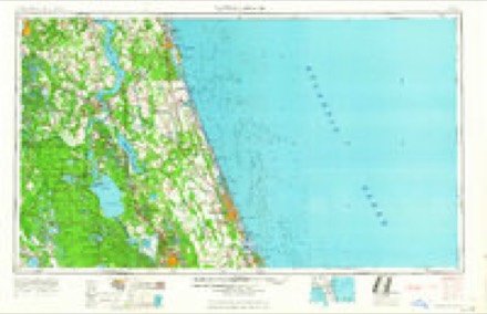
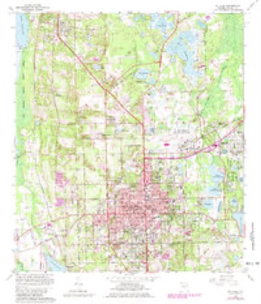
10 topographic sheets cover this place, the earliest surveyed in 1954 and the latest in 1978. It stands in the DeLand census division. It lies in ZIP code area 32720. The Survey maps it on the DeLand quadrangle.
Then and now
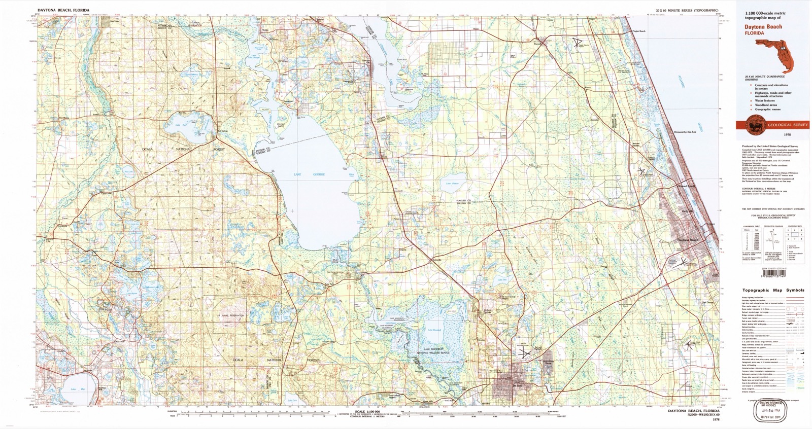
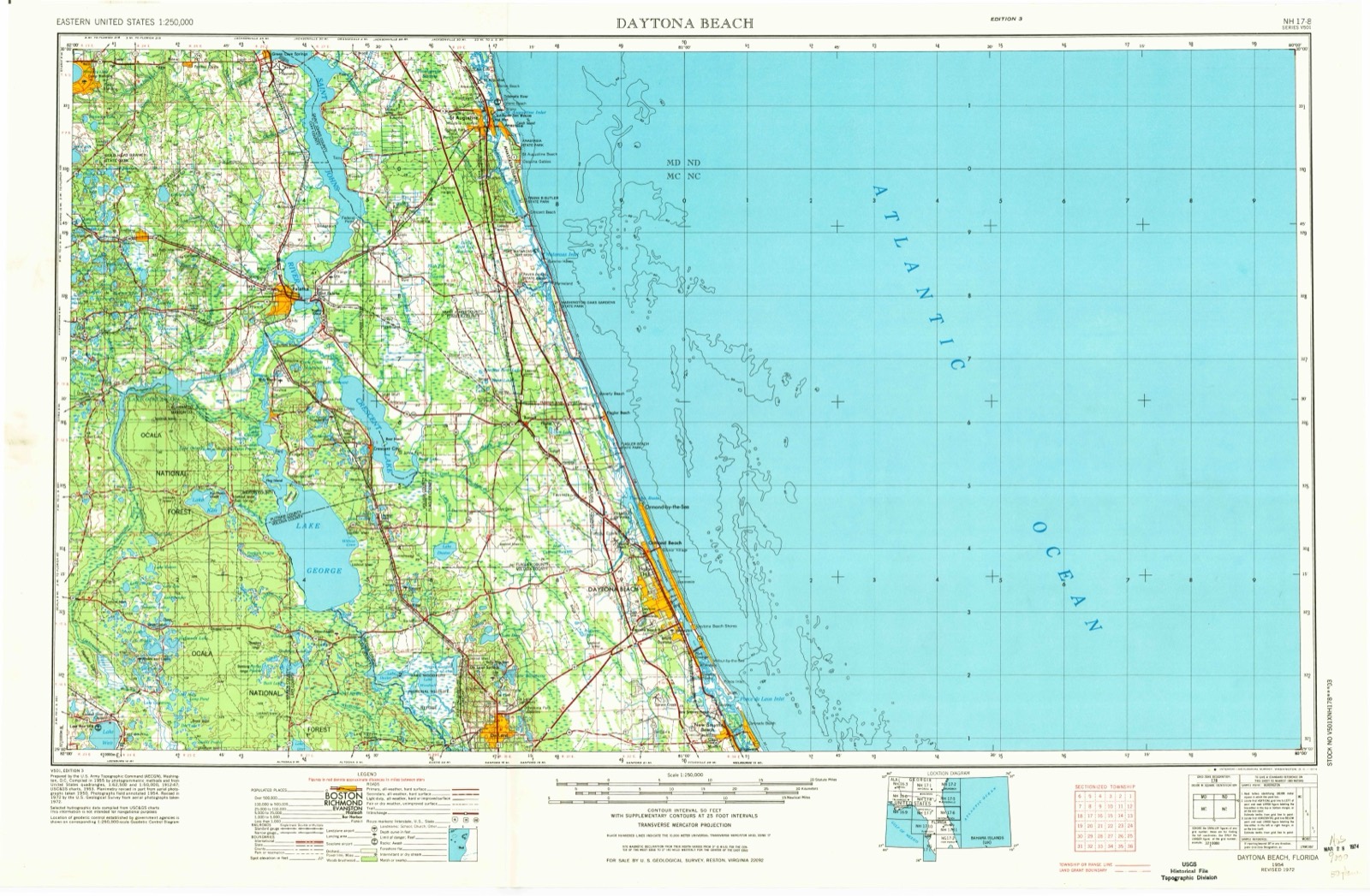
1954 to 1978The same ground, surveyed 24 years apart. Drag the handle to wipe between them. Both sheets are United States Geological Survey originals; neither has been altered.
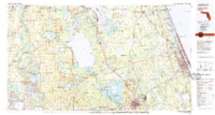
Topographic sheets covering this place
5 surveys from 10 printed sheetsMatched by testing this settlement's coordinate against the published boundary of every sheet in the United States Geological Survey's historical collection. Each opens the scanned sheet at the Survey.
- 1954 USGS Daytona Beach quadrangle1:250000
- 1958 USGS Daytona Beach quadrangle1:250000, 2 printings
- 1964 USGS Daytona Beach quadrangle1:250000
- 1964 USGS De Land quadrangle1:24000, 4 printings
- 1978 USGS Daytona Beach quadrangle1:100000, 2 printings
Fires near this place
207 since 1992Regional context, not property-specific evidence. The federal wildfire occurrence database lists 207 fires within 5 miles of Beresford between 1992 and 2020, burning about 7,379 acres in total. 51 started naturally. 17 were recorded as arson. Distance is straight-line from the map coordinates, so a fire counted here may appear on a neighbouring settlement's page as well.
| Reported cause | Fires |
|---|---|
| Natural | 51 |
| Equipment and vehicle use | 43 |
| Missing data/not specified/undetermined | 35 |
| Arson/incendiarism | 17 |
| Recreation and ceremony | 14 |
| Misuse of fire by a minor | 13 |
| Debris and open burning | 13 |
| Railroad operations and maintenance | 12 |
| Other causes | 5 |
| Power generation/transmission/distribution | 3 |
| Fireworks | 1 |
The most recent of them, most recent first, with the day each was reported and the service that recorded it.
| Date | Cause | Size | Reported by | Name on the report |
|---|---|---|---|---|
| 9 September 2017 | Missing data/not specified/undetermined | under an acre | Florida Forest Service | SPRING GARDEN (64) |
| 5 September 2019 | Arson/incendiarism | under an acre | Florida Forest Service | TOMAHAWK TRAIL (35) |
| 5 September 2014 | Natural | under an acre | National Forests in Florida | FERNANDEZ 14 |
| 17 September 1997 | Arson/incendiarism | 50 acres | Lake Woodruff National Wildlife Refuge | HOT TIME |
| 8 August 2011 | Natural | 1.0 acres | Florida Forest Service | (35) CUMMER |
| 8 August 2008 | Natural | 1.7 acres | National Forests in Florida | FERNANDEZ |
| 5 August 2007 | Missing data/not specified/undetermined | under an acre | Florida Forest Service | WF WAR ADMIRAL |
| 5 August 2006 | Natural | 7.5 acres | Florida Forest Service | 35/HELICOPTER FIRE/0854 |
Settlements close enough to share some of these fires:
Storms near this place
3 since 2007Regional context, not property-specific evidence. The National Weather Service names Beresford in 3 storm reports between 2007 and 2020: 2 tornado, 1 thunderstorm wind. The reports record 42 injuries. Each account below is quoted exactly as the forecast office filed it, from the NOAA Storm Events Database, and each date opens the federal record of that event.
| When | Event | Place named | Harm | What the report says |
|---|---|---|---|---|
| February 2007 | Tornado (EF3) | Beresford | 42 hurt, $52,000,000 | The tornado that killed 13 people in the Lake Mack area of Lake County moved east across the St. Johns River, crossed into Volusia county at Lake Beresford and moved across Deland as an F3 tornado. It was still moving east northeast at 50 MPH as it damaged 277 and destroyed 106 residences in the Deland area. The tornado finally lifted about eight miles east of Deland along Highway 44. There were no fatalities in Volusia County but 42 people were injured. |
| January 2020 | Tornado (EF1) | Beresford | $25,000 | National Weather Service staff conducted a damage survey and confirmed a EF-1 tornado in occurred in DeLand on January 4, 2020. Peak winds were estimated between 90 and 100 mph, along a 4.39 mile long path, with a maximum width of 265 yards. A DeLand resident on a large paddleboat on Lake Beresford observed the waterspout/tornado touching down just southwest of his location on the lake. The tornado moved onshore causing tree damage to a nearby property near South Beresford Road. The tornado continued generally northeast clipping the southern side of Woodward Avenue Elementary School, crossing multiple streets, subdivisions, a large park, a nursing home, and dissipated near the intersection of Colorado Avenue and New York Avenue. Damage estimates indicate several large trees toppled, numerous large branches downed, two homes experienced major roof damage, significant roof damage to the Veterans of Foreign Wars (VFW) building, structural damage at Melching Field and Earl Brown Park, 8-10 power poles snapped at the base, and 10 additional structures received lesser, minor-moderate damage. City of DeLand officials estimate the damage in the city to be around $25,000. |
| June 2008 | Thunderstorm Wind | Beresford | $1,000 | Law enforcement reported a large tree down across State Road 44. |
Nearest settlements
The eight closest, with where each one stands in the county. Distances are straight-line, computed from the Geographic Names Information System coordinates.
| Map | Place | Distance | Sheets |
|---|---|---|---|
| Riverside | 1.0 miles | 14 | |
| West DeLand | 1.2 miles | 10 | |
| Fatio | 1.7 miles | 14 | |
| Daisy Lake | 2.3 miles | 10 | |
| DeLand | 2.9 miles | 10 | |
| Blue Springs Landing | 4.1 miles | 14 | |
| North DeLand | 4.2 miles | 10 | |
| Orange City | 4.5 miles | 14 |
Provenance
This settlement is recorded in the Geographic Names Information System as feature 295128. The sheet list is computed by point-in-boundary test against the United States Geological Survey's historical topographic inventory. Both are works of the United States government and carry no copyright under 17 U.S.C. 105.
Wildfire. Short, Karen C. 2022. Spatial wildfire occurrence data for the United States, 1992-2020 [FPA_FOD_20221014]. 6th Edition. Fort Collins, CO: Forest Service Research Data Archive. https://doi.org/10.2737/RDS-2013-0009.6 Collected with United States Government funding and usable without additional permissions or fees.
Storms. NOAA National Centers for Environmental Information, Storm Events Database https://www.ncei.noaa.gov/stormevents/ A work of the United States government, no copyright under 17 U.S.C. 105. Narratives are quoted verbatim from the National Weather Service report and are not edited or summarised.