 Block
BlockFatio, Florida
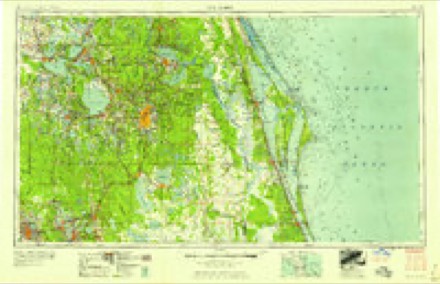
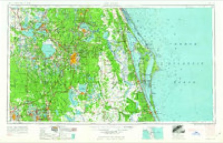
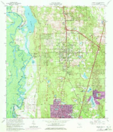
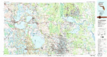
14 topographic sheets cover this place, the earliest surveyed in 1955 and the latest in 1979. It stands in the DeBary-Orange City census division. It lies in ZIP code area 32720. The Survey maps it on the Orange City quadrangle.
Then and now
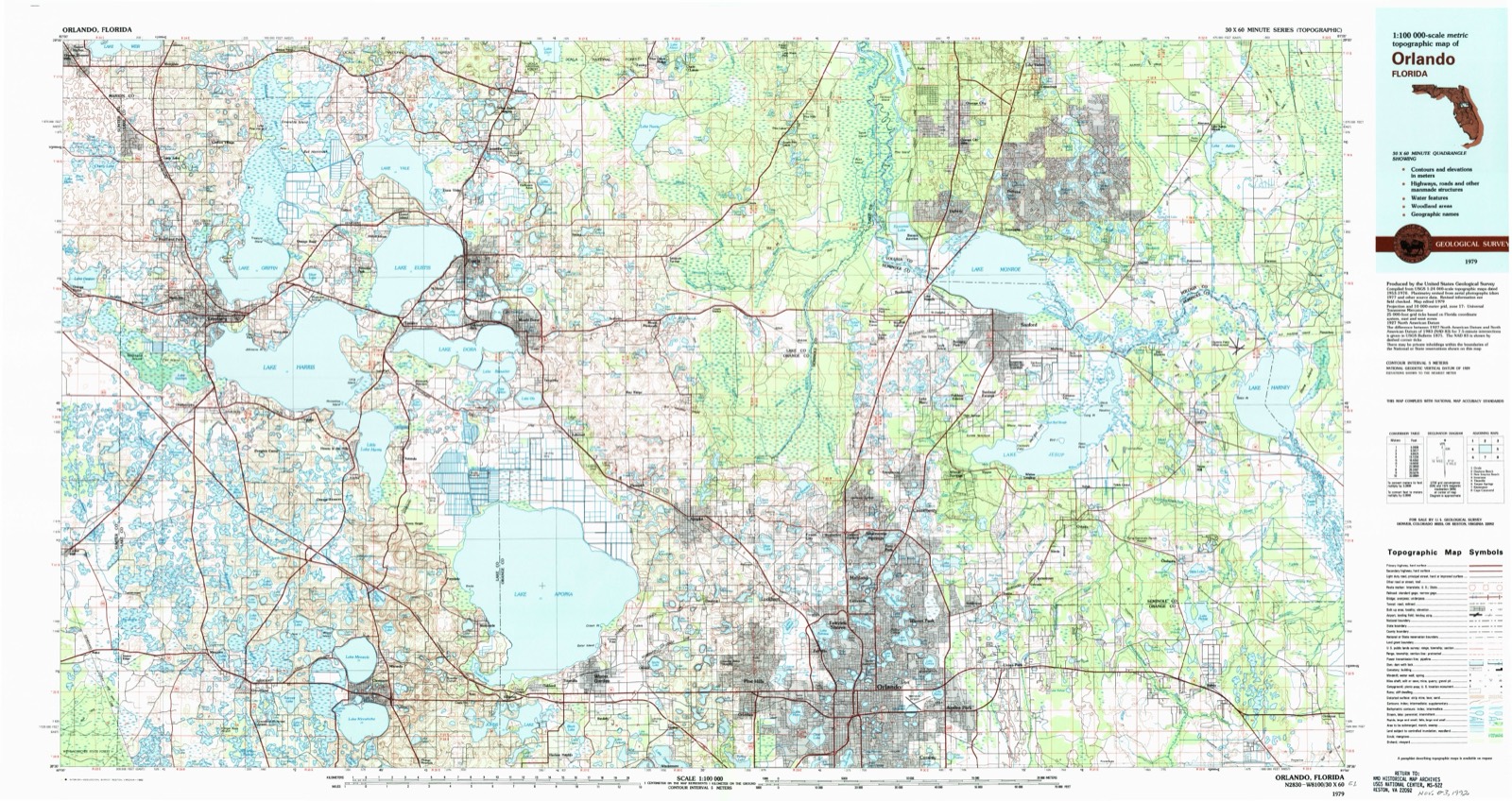
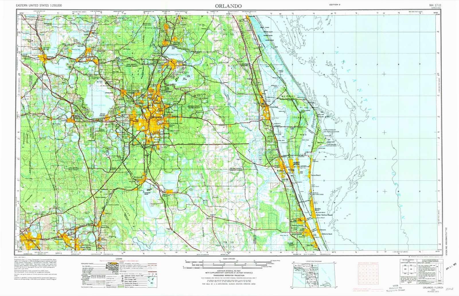
1955 to 1979The same ground, surveyed 24 years apart. Drag the handle to wipe between them. Both sheets are United States Geological Survey originals; neither has been altered.
Topographic sheets covering this place
6 surveys from 14 printed sheetsMatched by testing this settlement's coordinate against the published boundary of every sheet in the United States Geological Survey's historical collection. Each opens the scanned sheet at the Survey.
- 1955 USGS Orlando quadrangle1:250000, 3 printings
- 1957 USGS Orlando quadrangle1:250000
- 1958 USGS Orlando quadrangle1:250000
- 1962 USGS Orlando quadrangle1:250000
- 1964 USGS Orange City quadrangle1:24000, 5 printings
- 1979 USGS Orlando quadrangle1:100000, 3 printings
Fires near this place
180 since 1992Regional context, not property-specific evidence. The federal wildfire occurrence database lists 180 fires within 5 miles of Fatio between 1992 and 2020, burning about 3,282 acres in total. 46 started naturally. 15 were recorded as arson. Distance is straight-line from the map coordinates, so a fire counted here may appear on a neighbouring settlement's page as well.
| Reported cause | Fires |
|---|---|
| Natural | 46 |
| Equipment and vehicle use | 40 |
| Missing data/not specified/undetermined | 29 |
| Arson/incendiarism | 15 |
| Misuse of fire by a minor | 15 |
| Debris and open burning | 8 |
| Railroad operations and maintenance | 8 |
| Recreation and ceremony | 8 |
| Other causes | 5 |
| Power generation/transmission/distribution | 4 |
| Fireworks | 2 |
The most recent of them, most recent first, with the day each was reported and the service that recorded it.
| Date | Cause | Size | Reported by | Name on the report |
|---|---|---|---|---|
| 5 September 2019 | Arson/incendiarism | under an acre | Florida Forest Service | TOMAHAWK TRAIL (35) |
| 5 September 2014 | Natural | under an acre | National Forests in Florida | FERNANDEZ 14 |
| 26 September 2019 | Missing data/not specified/undetermined | 16 acres | Florida Forest Service | U.T. ROAD (64) |
| 17 September 1997 | Arson/incendiarism | 50 acres | Lake Woodruff National Wildlife Refuge | HOT TIME |
| 8 August 2011 | Natural | 1.0 acres | Florida Forest Service | (35) CUMMER |
| 8 August 2008 | Natural | 1.7 acres | National Forests in Florida | FERNANDEZ |
| 5 August 2007 | Missing data/not specified/undetermined | under an acre | Florida Forest Service | WF WAR ADMIRAL |
| 5 August 2006 | Natural | 7.5 acres | Florida Forest Service | 35/HELICOPTER FIRE/0854 |
Settlements close enough to share some of these fires:
Storms near this place
4 since 2008Regional context, not property-specific evidence. The National Weather Service names Fatio in 4 storm reports between 2008 and 2020: 3 thunderstorm wind, 1 tornado. The reports record 1 injury. Each account below is quoted exactly as the forecast office filed it, from the NOAA Storm Events Database, and each date opens the federal record of that event.
| When | Event | Place named | Harm | What the report says |
|---|---|---|---|---|
| August 2020 | Tornado (EF2) | Fatio | 1 hurt, $8,010,000 | A National Weather Service Damage Survey confirmed that a strong tornado moved through North DeLand along a 4.6 mile long path with peak winds estimated between 110-120 mph. The tornado began around the intersection of W Minnesota Ave and N Ridgewood Ave, near the West Minnesota Estates neighborhood. The tornado generally tracked east-northeast across the city resulting in many downed medium to large tree branches, downed power lines, and numerous large trees were uprooted, which led to many local and major roadways being blocked. Many homes and vehicles suffered moderate to major damage as large tree branches or entire trees fell on them.||The tornado briefly intensified just southwest of the intersection of W Plymouth Avenue and N Spring Garden Avenue where EF-1 damage occurred. Two storage facility buildings suffered major roof collapse with winds estimated at 80-90 mph. The tornado continued to produce EF-0 damage along and south of W Plymouth Avenue as it moved towards Woodland Blvd. ||As the tornado reached Woodland Blvd. it quickly intensified and reached its widest point at approximately 550 yards. Extensive EF-1 damage was seen from Woodland Blvd. east to Amelia Avenue, and from E Kentucky Ave south to E Woodmont Road, with winds estimated between 90-100 mph. Damage was most significant along E Washington Ave between N Alabama Ave and N Amelia Ave, just east of US Hwy 17 where winds are estimated between 110-120 mph. Two homes had total roof loss, with a few others receiving moderate to major roof and structural damage. Several healthy tree trunks were found snapped and twisted near the base, with numerous smaller trees snapped midway. Videos taken along N Woodland Blvd revealed that a box delivery truck was tipped over and a car was flipped.||The tornado dissipated just east of the Lake Lindley subdivision between Jacobs Road and Lake Talmadge Drive where many large branches were snapped near the tops of the trees. ||There was one injury and no fatalities reported. Preliminary damage estimates from the Volusia County Property Appraiser indicate total damage of approximately $8,010,339. There were 163 damaged structures, with 49 sustaining minor damage, 40 sustaining major damage, and 5 that were destroyed. |
| June 2008 | Thunderstorm Wind | Fatio | $5,000 | Law enforcement reported three trees down across County Road 42. |
| April 2020 | Thunderstorm Wind | Fatio | - | National Weather Service Melbourne staff conducted a damage survey along the radar-estimated rotational track of a supercell thunderstorm west of DeLand to Bethune Beach, which occurred on April 20, 2020. The survey team found straight-line wind damage (peak winds estimated at 55-65 mph), along a sporadic zone of 1.5 miles in DeLand. The damage was primarily several up-rooted oak trees, as well as numerous large, broken branches. |
| January 2017 | Thunderstorm Wind | Fatio | - | A trained weather spotter provided photos of wind damage which occurred to trees near the intersection of State Road 44 and S. Ridgewood Road in Deland. The photos of damage to multiple large limbs and several small trees suggested winds near 60 mph. |
Nearest settlements
The eight closest, with where each one stands in the county. Distances are straight-line, computed from the Geographic Names Information System coordinates.
| Map | Place | Distance | Sheets |
|---|---|---|---|
| Beresford | 1.7 miles | 10 | |
| Riverside | 1.9 miles | 14 | |
| West DeLand | 2.4 miles | 10 | |
| Blue Springs Landing | 2.6 miles | 14 | |
| Orange City | 2.8 miles | 14 | |
| DeLand | 3.6 miles | 10 | |
| Daisy Lake | 3.9 miles | 10 | |
| Orange City Hills | 4.1 miles | 14 |
Provenance
This settlement is recorded in the Geographic Names Information System as feature 295274. The sheet list is computed by point-in-boundary test against the United States Geological Survey's historical topographic inventory. Both are works of the United States government and carry no copyright under 17 U.S.C. 105.
Wildfire. Short, Karen C. 2022. Spatial wildfire occurrence data for the United States, 1992-2020 [FPA_FOD_20221014]. 6th Edition. Fort Collins, CO: Forest Service Research Data Archive. https://doi.org/10.2737/RDS-2013-0009.6 Collected with United States Government funding and usable without additional permissions or fees.
Storms. NOAA National Centers for Environmental Information, Storm Events Database https://www.ncei.noaa.gov/stormevents/ A work of the United States government, no copyright under 17 U.S.C. 105. Narratives are quoted verbatim from the National Weather Service report and are not edited or summarised.