 Block
BlockElkton, Florida
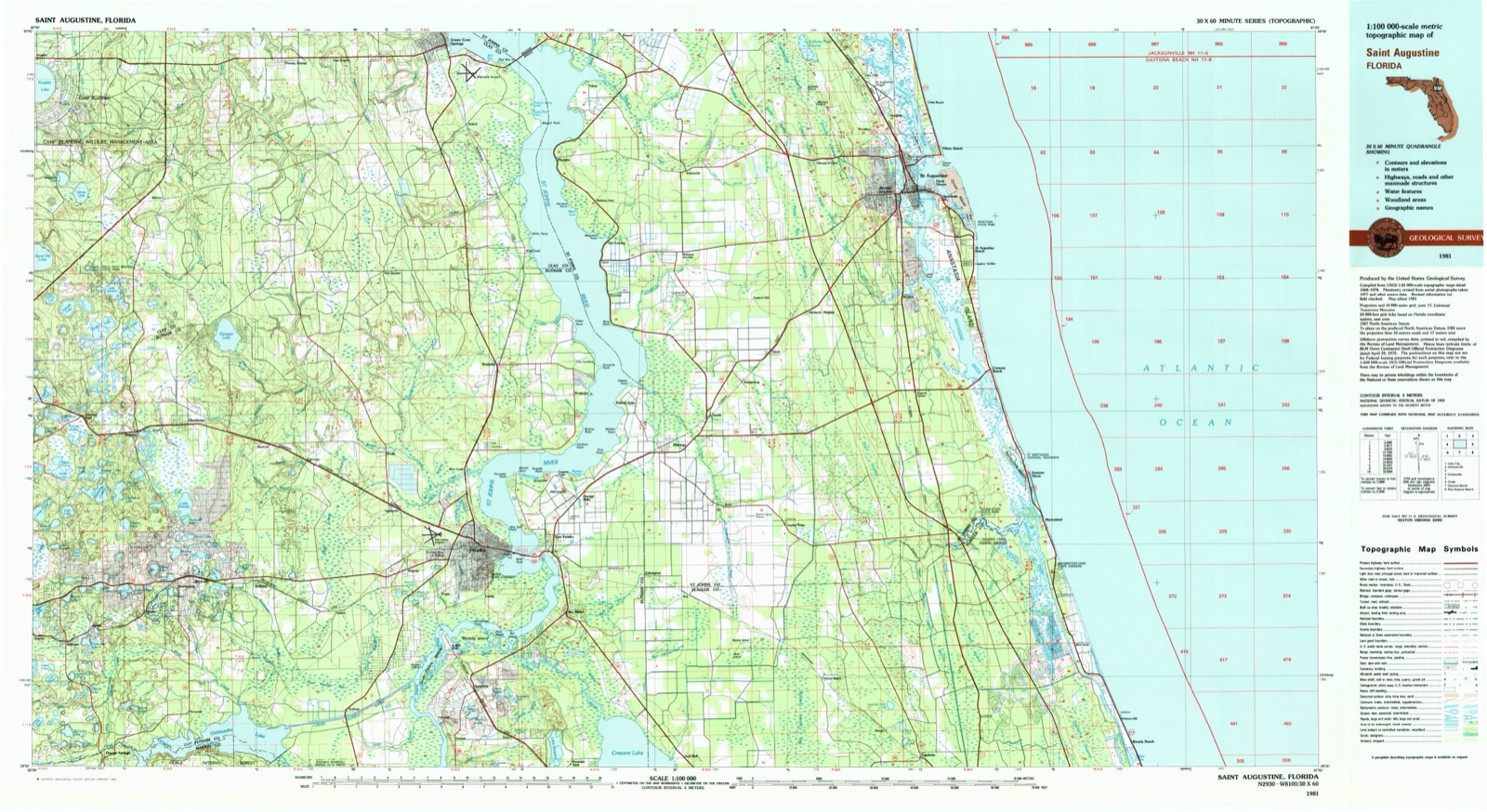
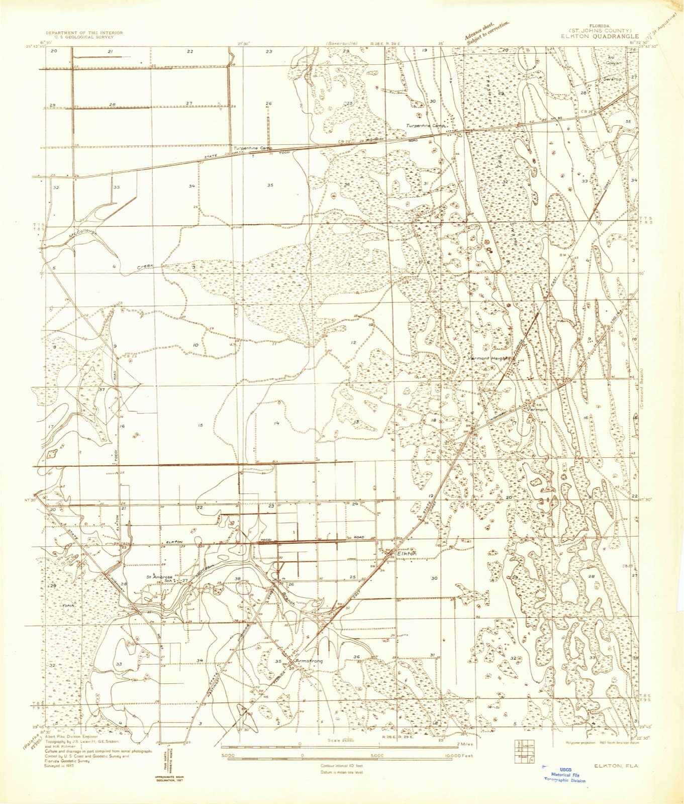
12 topographic sheets cover this place, the earliest surveyed in 1937 and the latest in 1981. It stands in the Hastings census division. It lies in ZIP code area 32033. The Survey maps it on the Elkton quadrangle. It stands 33 feet above sea level.
Then and now
1937 to 1981The same ground, surveyed 44 years apart. Drag the handle to wipe between them. Both sheets are United States Geological Survey originals; neither has been altered.
On record in Elkton
Buildings and businesses the archive holds for this place. Each opens its own page, with the source record it came from.
On the National Register 1 record
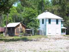 Sanchez Homesteadlisted 2001
Topographic sheets covering this place
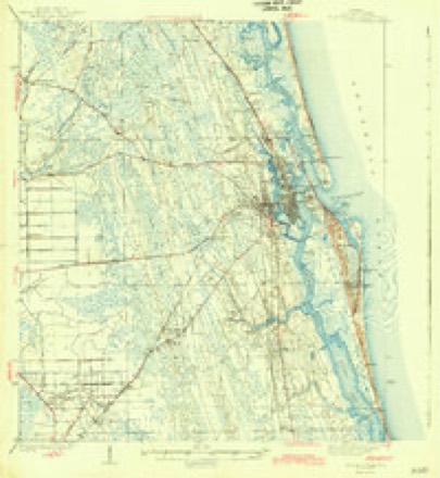
7 surveys from 12 printed sheetsMatched by testing this settlement's coordinate against the published boundary of every sheet in the United States Geological Survey's historical collection. Each opens the scanned sheet at the Survey.
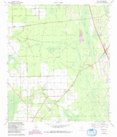
- 1937 USGS Elkton quadrangle1:24000
- 1943 USGS St. Augustine quadrangle1:62500, 2 printings
- 1954 USGS Daytona Beach quadrangle1:250000
- 1958 USGS Daytona Beach quadrangle1:250000, 2 printings
- 1964 USGS Daytona Beach quadrangle1:250000
- 1970 USGS Elkton quadrangle1:24000, 3 printings
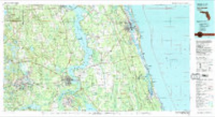
- 1981 USGS Saint Augustine quadrangle1:100000, 2 printings
Fires near this place
181 since 1992Regional context, not property-specific evidence. The federal wildfire occurrence database lists 181 fires within 5 miles of Elkton between 1992 and 2020, burning about 2,512 acres in total. 109 started naturally. 7 were recorded as arson. Distance is straight-line from the map coordinates, so a fire counted here may appear on a neighbouring settlement's page as well.
| Reported cause | Fires |
|---|---|
| Natural | 109 |
| Equipment and vehicle use | 20 |
| Missing data/not specified/undetermined | 15 |
| Debris and open burning | 12 |
| Railroad operations and maintenance | 11 |
| Arson/incendiarism | 7 |
| Power generation/transmission/distribution | 2 |
| Misuse of fire by a minor | 2 |
| Recreation and ceremony | 2 |
| Other causes | 1 |
The most recent of them, most recent first, with the day each was reported and the service that recorded it.
| Date | Cause | Size | Reported by | Name on the report |
|---|---|---|---|---|
| 4 September 1999 | Missing data/not specified/undetermined | 4.0 acres | Florida Forest Service | not named |
| 4 September 1993 | Natural | 2.0 acres | Florida Forest Service | not named |
| 4 September 1993 | Natural | 25 acres | Florida Forest Service | not named |
| 28 September 1993 | Natural | 6.0 acres | Florida Forest Service | not named |
| 26 September 2009 | Equipment and vehicle use | under an acre | Florida Forest Service | 821 |
| 17 September 2008 | Natural | 4.0 acres | Florida Forest Service | WF HUTCHSON |
| 1 September 1999 | Equipment and vehicle use | 5.0 acres | Florida Forest Service | not named |
| 6 August 2006 | Natural | 3.0 acres | Florida Forest Service | 930 |
Settlements close enough to share some of these fires:
Storms near this place
22 since 1998Regional context, not property-specific evidence. The National Weather Service names Elkton in 22 storm reports between 1998 and 2025: 14 thunderstorm wind, 3 hail, 3 tornado, 2 funnel cloud. No death or injury is recorded in these reports. Each account below is quoted exactly as the forecast office filed it, from the NOAA Storm Events Database, and each date opens the federal record of that event.
| When | Event | Place named | Harm | What the report says |
|---|---|---|---|---|
| May 2013 | Tornado (EF0) | Elkton | $500,000 | A barn was severely damaged at Jen-Sar Farms and Produce store. A large barn was destroyed with noticeable debris lofted into nearby structures. A large tree was snapped at its base and fell on a mobile home causing significant damage by splitting the unit in two. Multiple trees were uprooted and fell on a boat near Elkton. The cost of damage was estimated, and is likely underestimated. |
| June 1998 | Thunderstorm Wind | Elkton | $4,000 | Shed destroyed. |
| June 1998 | Thunderstorm Wind | Elkton | $500 | Large trees were blown down along CR 13. |
| August 2020 | Thunderstorm Wind | Elkton | $10 | Tree limbs were blown down along County Road 305. The cost of damage was unknown but estimated for inclusion in Storm Data. |
| June 2025 | Thunderstorm Wind | Elkton | - | Several trees were blown down near County Rd 13A and County Rd 305. The time of damage was based on radar. |
| May 2024 | Thunderstorm Wind | Elkton | - | Trees and power lines were blown down near County Road 305 in Elkton. |
| April 2023 | Hail | Elkton | - | The public submitted a social media image of hail on the ground. |
| July 2022 | Funnel Cloud | Elkton | - | A narrow funnel cloud was reported with a thunderstorm west of St. Augustine. Radar estimated location. |
| December 2019 | Tornado (EF0) | Elkton | - | The tornado appeared to have touched down shortly after 5 am and tracked ENE from near the SW corner of Saint Ambrose Church Road and County Road 305 and ended just east of County Road 207. A trained storm spotter reported a tornado on the ground near State Road 207 and County Road 305 in Elkton around 5:05 am. Tree debris, shingles and part of a tin roof were reported in trees and across the ground. A kitchen and bath store in Elkton sustained major roof damage as well as damage to their supplies stored outdoors including solid surface countertops. The official NWS Storm Survey estimated peak winds around 85 mph (EF0) and reported road signs that were bent and/or twisted in Elkton. Metal roof panels were stripped off of a building and thrown over a fence. A door was also extracted from a building. |
| July 2017 | Thunderstorm Wind | Elkton | - | A power company truck was damaged by a tree limb that was blown down. |
| May 2016 | Thunderstorm Wind | Elkton | - | Several trees were blown down in Elkton. Two were blown down near Saint Ambrose Church Road and one was blown down near County Road 13 South. |
| June 2015 | Tornado (EF0) | Elkton | - | A brief tornado was reported near Meadowbrook Road and State Road 207. A packing shed was destroyed, a potato field was damaged, and the tornado also destroyed a shed and damaged a metal constructed structure near 6106 County Road 305. Estimated winds were near 80 mph. The cost of damage was unknown. |
| June 2015 | Thunderstorm Wind | Elkton | - | Strong rear flank downdraft winds blew down trees following a brief tornado touchdown. |
| July 2014 | Thunderstorm Wind | Elkton | - | A storm survey determined that a microburst produced straight line winds estimated at 70-80 mph. Damage included tow barns partially collapsed, one downed tree, and bent power lines. Damage was not noted upstream nor downstream of this location. Damage occurred along County Road 305 south of State Road 207. The cost of damage was unknown. |
| May 2013 | Thunderstorm Wind | Elkton | - | Trees and power lines were blown down along State Route 207. The time is estimated from radar imagery. |
| May 2013 | Thunderstorm Wind | Elkton | - | Over 60 reports of power lines damaged from fallen trees and strong winds were reported over the southwest portion of St. Johns county. The time of damage was based on radar. |
| June 2011 | Thunderstorm Wind | Elkton | - | Trees and a power line were blown down near State Road 206. |
| June 2009 | Hail | Elkton | - | Quarter size hail was reported in Elkton near State Road 207. |
| July 2007 | Thunderstorm Wind | Elkton | - | Numerous trees were blown down in Elkton. Power lines were blown down near Hastings. |
| May 2007 | Hail | Elkton | - | Duval county Emergency Management witnessed penny size while traveling north on Interstate 95 near the State Road 16 exit in front of the St. Augustine Outlet Mall complex. |
| July 2006 | Thunderstorm Wind | Elkton | - | no account filed |
| April 2005 | Funnel Cloud | Elkton | - | no account filed |
Nearest settlements
The eight closest, with where each one stands in the county. Distances are straight-line, computed from the Geographic Names Information System coordinates.
| Map | Place | Distance | Sheets |
|---|---|---|---|
| Armstrong | 1.8 miles | 12 | |
| Vermont Heights | 2.4 miles | 12 | |
| Spuds | 3.8 miles | 13 | |
| Fort Peyton | 4.8 miles | 14 | |
| Saybrook | 4.9 miles | 14 | |
| Molasses Junction | 5.9 miles | 12 | |
| Moultrie | 6.0 miles | 14 | |
| San Buenaventura (historical) | 6.1 miles | 13 |
Elsewhere
Matched on this settlement's Geographic Names Information System number rather than its name, so it cannot be a different place of the same name in another state.
| Wikipedia article on Elkton | An encyclopaedic summary. Its text is share-alike, so it is linked here rather than copied. |
| Wikidata item Q5364422 | The structured record the population and elevation above come from. Public domain (CC0). |
Provenance
This settlement is recorded in the Geographic Names Information System as feature 307946. The sheet list is computed by point-in-boundary test against the United States Geological Survey's historical topographic inventory. Both are works of the United States government and carry no copyright under 17 U.S.C. 105.
Wildfire. Short, Karen C. 2022. Spatial wildfire occurrence data for the United States, 1992-2020 [FPA_FOD_20221014]. 6th Edition. Fort Collins, CO: Forest Service Research Data Archive. https://doi.org/10.2737/RDS-2013-0009.6 Collected with United States Government funding and usable without additional permissions or fees.
Storms. NOAA National Centers for Environmental Information, Storm Events Database https://www.ncei.noaa.gov/stormevents/ A work of the United States government, no copyright under 17 U.S.C. 105. Narratives are quoted verbatim from the National Weather Service report and are not edited or summarised.