 Block
BlockGomez, Florida
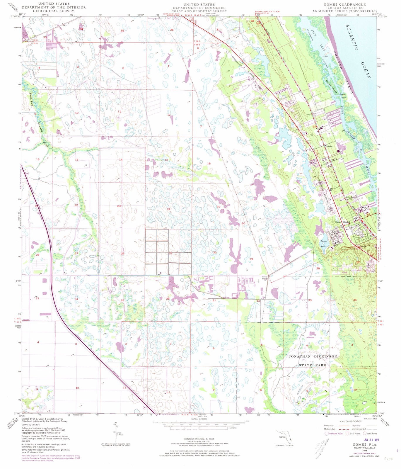
18 topographic sheets cover this place, the earliest surveyed in 1948 and the latest in 1988. It stands in the Port Salerno-Hobe Sound census division. It lies in ZIP code area 33455. It lies near Corset Island. The Survey maps it on the Gomez quadrangle.
Then and now
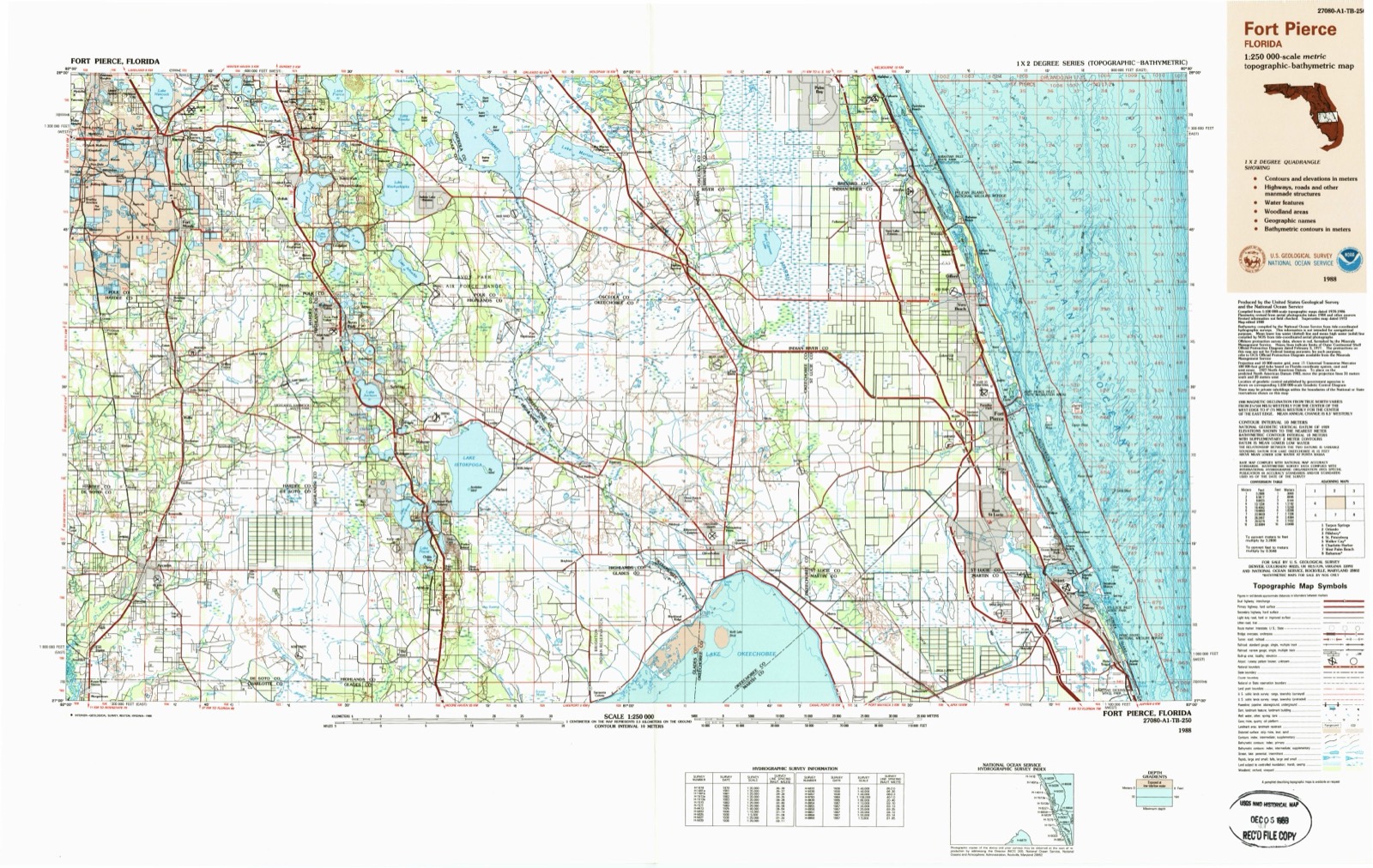
1948 to 1988The same ground, surveyed 40 years apart. Drag the handle to wipe between them. Both sheets are United States Geological Survey originals; neither has been altered.
Topographic sheets covering this place
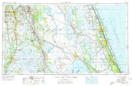
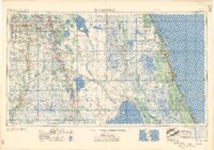
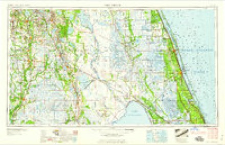
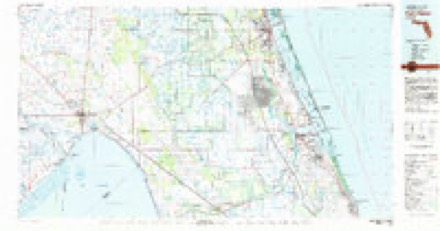
8 surveys from 18 printed sheetsMatched by testing this settlement's coordinate against the published boundary of every sheet in the United States Geological Survey's historical collection. Each opens the scanned sheet at the Survey.
- 1948 USGS Gomez quadrangle1:24000, 5 printings
- 1949 USGS Gomez quadrangle1:24000, 2 printings
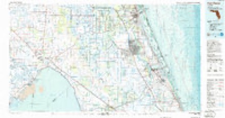
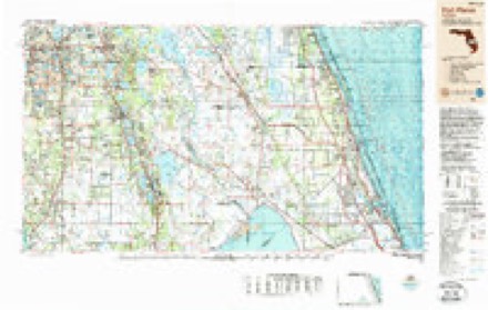
- 1956 USGS Fort Pierce quadrangle1:250000, 4 printings
- 1958 USGS Fort Pierce quadrangle1:250000
- 1959 USGS Fort Pierce quadrangle1:250000, 3 printings
- 1981 USGS Fort Pierce quadrangle1:100000
- 1986 USGS Fort Pierce quadrangle1:100000
- 1988 USGS Fort Pierce quadrangle1:250000
Fires near this place
89 since 1992Regional context, not property-specific evidence. The federal wildfire occurrence database lists 89 fires within 5 miles of Gomez between 1992 and 2018, burning about 3,362 acres in total. 28 started naturally. 5 were recorded as arson. Distance is straight-line from the map coordinates, so a fire counted here may appear on a neighbouring settlement's page as well.
| Reported cause | Fires |
|---|---|
| Natural | 28 |
| Misuse of fire by a minor | 17 |
| Missing data/not specified/undetermined | 13 |
| Equipment and vehicle use | 7 |
| Debris and open burning | 5 |
| Arson/incendiarism | 5 |
| Railroad operations and maintenance | 4 |
| Smoking | 3 |
| Recreation and ceremony | 3 |
| Power generation/transmission/distribution | 2 |
| Fireworks | 2 |
The most recent of them, most recent first, with the day each was reported and the service that recorded it.
| Date | Cause | Size | Reported by | Name on the report |
|---|---|---|---|---|
| 2 September 2005 | Natural | under an acre | Florida Forest Service | MA-SUGAR PINE FIRE-1145 |
| 31 August 2013 | Natural | under an acre | Florida Forest Service | PRINCEWOOD (43) |
| 3 August 2006 | Natural | 5.0 acres | Florida Forest Service | (MA) COVE (1237) |
| 2 August 2011 | Equipment and vehicle use | under an acre | Florida Forest Service | BRIDGE (43) |
| 15 August 2011 | Natural | 1.0 acres | Florida Forest Service | WOODLAKE LANE (43) |
| 15 August 2010 | Natural | 5.0 acres | Florida Forest Service | (MA) ATLANTIC RIDGE (462) |
| 9 July 2004 | Fireworks | 4.0 acres | Florida Forest Service | 998-MA-FIRE |
| 8 July 2004 | Natural | 70 acres | Florida Forest Service | SEABRANCH |
Settlements close enough to share some of these fires:
Storms near this place
9 since 2011Regional context, not property-specific evidence. The National Weather Service names Gomez in 9 storm reports between 2011 and 2024: 4 tornado, 2 thunderstorm wind, 1 funnel cloud, 1 flash flood. No death or injury is recorded in these reports. Each account below is quoted exactly as the forecast office filed it, from the NOAA Storm Events Database, and each date opens the federal record of that event.
| When | Event | Place named | Harm | What the report says |
|---|---|---|---|---|
| October 2024 | Tornado (EF2) | Gomez | $11,000,000 | A tornado touched down in a wooded rural area in between I-95 and US-1 in eastern Martin County. Damage began in the Lost Lake subdivision before the tornado moved north into The Preserve, where vegetative damage was extensive and numerous concrete block homes experienced significant tile loss. The tornado moved north into the Mariner Sands community, where some of the most significant damage occurred along its nearly 6 mile long path. Several wood-framed homes experienced total roof loss and partial wall collapse due to estimated winds of 110 to 120 mph. One resident who was trapped under his fallen roof was extracted and transported to a nearby hospital with minor injuries. ||The strong tornado then intersected the Manatee Creek subdivision where nearly 30 wood-framed homes experienced major damage in the form of roof loss and/or wall collapse from winds up to 120 mph. Finally, the circulation persisted into Rocky Point, where the eastern side of the subdivision experienced more sporadic damage in the roof of partial roof loss, soffit damage, and downed trees and power lines. Based on radar data, the tornado likely became a waterspout as it moved into the Intracoastal where it dissipated shortly thereafter. |
| October 2011 | Tornado (EF0) | Gomez | $200,000 | A NWS Storm Survey team confirmed a brief touchdown of an EF0 tornado within the Ridgeway Mobile Home Park in Hobe Sound. Winds were estimated at 65 to 70 mph. The tornado removed the roof from one mobile home and carried it approximately 50 yards downwind. Small portions of metal roofs were peeled back from three other mobile homes. Thirty eight additional mobile homes experienced minor damage to window awnings and carports. Two vehicles experienced damage due to movement by the wind into an adjacent structure. Three large palm trees were uprooted or toppled, and many smaller trees sustained damage. The tornado lifted just prior to reaching Highway A1A. DI3 DOD4 LB. |
| January 2016 | Tornado (EF1) | Gomez | $100,000 | A NWS storm survey team determined an EF-1 tornado touched down in Hobe Sound, just east of U.S. Highway 1, in a wooded area between SE Courtney Terrace and SE Highpoint Way. Numerous uprooted trees (convergent pattern) indicated peak winds near 90 mph. The tornado then moved east-northeast and weakened to EF-0 strength, affecting a three block area before lifting near the intercoastal waterway between SE Marina Bay Drive and SE Palm Street. Eight homes sustained minor damage due to falling trees and debris penetration of windows. Four vehicles were also damaged from falling trees and flying debris. DI28 DOD3 EXP. |
| April 2021 | Thunderstorm Wind | Gomez | - | A Weatherflow site at Hobe Sound (XHOB) measured a peak wind gust of 71 mph. A second peak gust of 64 mph was measured at 1356LST. |
| April 2021 | Hail | Gomez | - | A trained spotter reported quarter sized hail in Hobe Sound. |
| October 2020 | Flash Flood | Gomez | - | Between 5 and 8 inches of rain fell during the early morning hours, within an area with a shallow water table due to previous heavy rainfall. Showers moved onshore or developed along the coast and trained over areas south of Port Salerno, impacting Hobe Sound most significantly, and in particular Hobe Heights. Rapid inundation occurred, with standing flood waters exceeding a depth of 3 feet in portions of Hobe Heights and surrounding neighborhoods, where flood waters approached homes, overtopped culverts and creeks and caused dozens of roads to become fully or partially impassable. The flood waters were very slow to recede. |
| July 2017 | Funnel Cloud | Gomez | - | Local media relayed a report of a funnel cloud in the vicinity of Interstate 95 and SE Bridge Road near Hobe Sound. |
| April 2013 | Thunderstorm Wind | Gomez | - | An off duty Orlando TV meteorologist reported damage to a tennis court in the tailwind airpark subdivision. Estimated wind gusts at the time were 60 mph. |
| October 2011 | Tornado (EF0) | Gomez | - | The cell which produced the Ridgeway Mobile Home Park tornado moments earlier, produced another brief EF0 tornado which impacted the Loblolly Bay residential community. The tornado toppled multiple trees, then likely moved over Peck Lake as a waterspout. Winds were estimated at 65 to 75 mph. A video of the circulation and debris was taken by a homeowner located one mile due south of the tornado. |
Nearest settlements
The eight closest, with where each one stands in the county. Distances are straight-line, computed from the Geographic Names Information System coordinates.
| Map | Place | Distance | Sheets |
|---|---|---|---|
| Hobe Sound | 1.8 miles | 18 | |
| Fruita | 3.3 miles | 16 | |
| Pinelake Gardens Estates | 3.5 miles | 18 | |
| Jupiter Island | 4.3 miles | 17 | |
| Port Salerno | 5.1 miles | 16 | |
| Coral Gardens | 5.2 miles | 16 | |
| Golden Gate | 6.6 miles | 16 | |
| Seminole Shores | 6.8 miles | 16 |
Provenance
This settlement is recorded in the Geographic Names Information System as feature 294788. The sheet list is computed by point-in-boundary test against the United States Geological Survey's historical topographic inventory. Both are works of the United States government and carry no copyright under 17 U.S.C. 105.
Wildfire. Short, Karen C. 2022. Spatial wildfire occurrence data for the United States, 1992-2020 [FPA_FOD_20221014]. 6th Edition. Fort Collins, CO: Forest Service Research Data Archive. https://doi.org/10.2737/RDS-2013-0009.6 Collected with United States Government funding and usable without additional permissions or fees.
Storms. NOAA National Centers for Environmental Information, Storm Events Database https://www.ncei.noaa.gov/stormevents/ A work of the United States government, no copyright under 17 U.S.C. 105. Narratives are quoted verbatim from the National Weather Service report and are not edited or summarised.