 Block
BlockHobe Sound, Florida
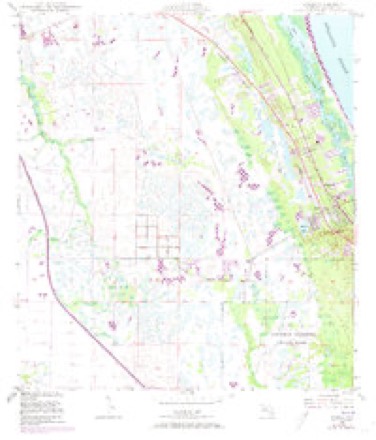
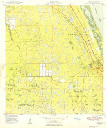
18 topographic sheets cover this place, the earliest surveyed in 1948 and the latest in 1988. It stands in the Port Salerno-Hobe Sound census division. It lies in ZIP code area 33455. The Survey maps it on the Gomez quadrangle. 13,163 people lived here at the 2020 count. It stands 20 feet above sea level.
Then and now
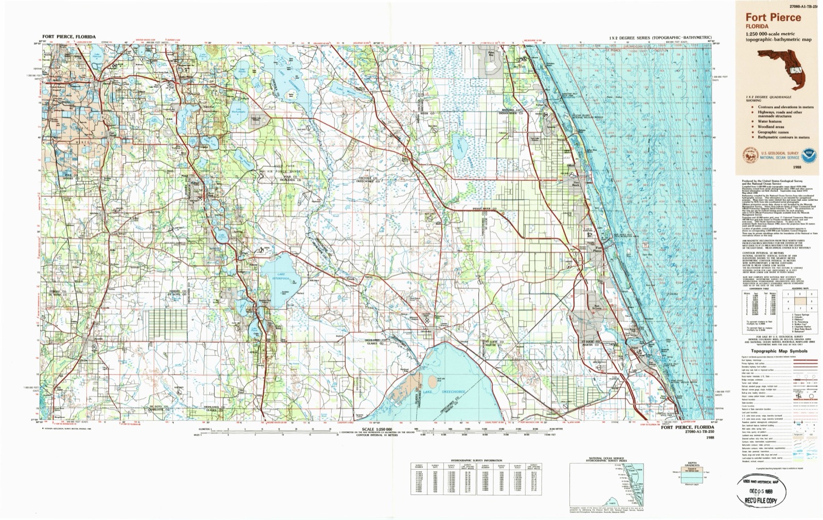
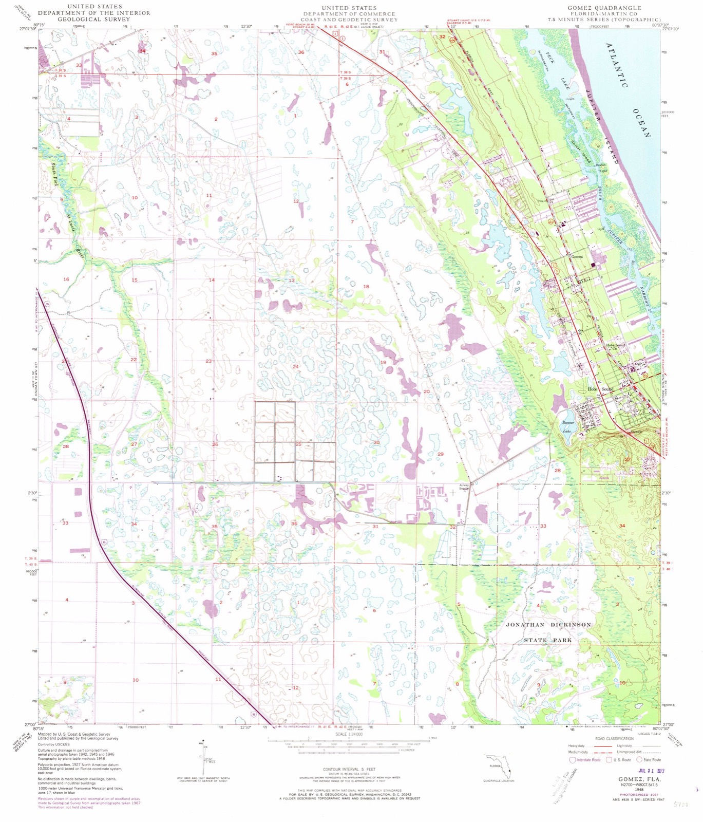
1948 to 1988The same ground, surveyed 40 years apart. Drag the handle to wipe between them. Both sheets are United States Geological Survey originals; neither has been altered.
On record in Hobe Sound
Buildings and businesses the archive holds for this place. Each opens its own page, with the source record it came from.
On the National Register 2 records
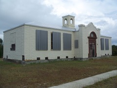 Olympia Schoollisted 2002
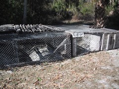 Trapper Nelson Zoo Historic Districtlisted 2006
Population over time
2 figuresHobe Sound grew from 11,521 to 13,163 between 2010 and 2020. These are the recorded population figures Wikidata holds for this place, reached through the Geographic Names Information System number this page is keyed on rather than by name, so they belong to this place and not to another of the same name. Most are census counts, but not all are: an early figure may be a founding or settlement estimate, and an estimate published within five years of a census is left out. The change column is computed, and is left blank where more than 20 years separate a figure from the one before it, because a gap that long is not a change between two counts.
| Year | People | Change |
|---|---|---|
| 2010 | 11,521 | |
| 2020 | 13,163 | +1,642 (+14%) |
Topographic sheets covering this place
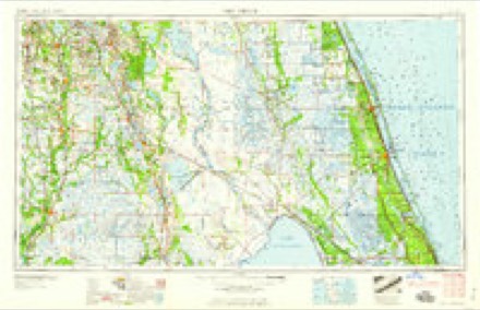
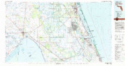
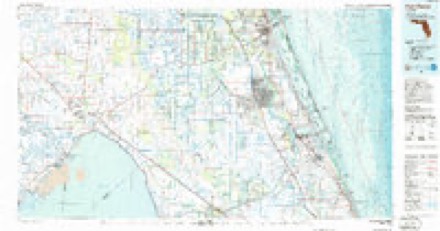
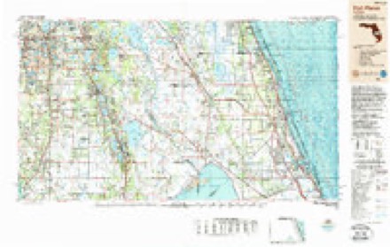
8 surveys from 18 printed sheetsMatched by testing this settlement's coordinate against the published boundary of every sheet in the United States Geological Survey's historical collection. Each opens the scanned sheet at the Survey.
- 1948 USGS Gomez quadrangle1:24000, 5 printings
- 1949 USGS Gomez quadrangle1:24000, 2 printings
- 1956 USGS Fort Pierce quadrangle1:250000, 4 printings
- 1958 USGS Fort Pierce quadrangle1:250000
- 1959 USGS Fort Pierce quadrangle1:250000, 3 printings
- 1981 USGS Fort Pierce quadrangle1:100000
- 1986 USGS Fort Pierce quadrangle1:100000
- 1988 USGS Fort Pierce quadrangle1:250000
Fires near this place
81 since 1992Regional context, not property-specific evidence. The federal wildfire occurrence database lists 81 fires within 5 miles of Hobe Sound between 1992 and 2018, burning about 4,098 acres in total. 30 started naturally. 3 were recorded as arson. Distance is straight-line from the map coordinates, so a fire counted here may appear on a neighbouring settlement's page as well.
| Reported cause | Fires |
|---|---|
| Natural | 30 |
| Missing data/not specified/undetermined | 16 |
| Misuse of fire by a minor | 7 |
| Equipment and vehicle use | 7 |
| Debris and open burning | 6 |
| Power generation/transmission/distribution | 4 |
| Smoking | 3 |
| Arson/incendiarism | 3 |
| Railroad operations and maintenance | 2 |
| Recreation and ceremony | 2 |
| Fireworks | 1 |
The most recent of them, most recent first, with the day each was reported and the service that recorded it.
| Date | Cause | Size | Reported by | Name on the report |
|---|---|---|---|---|
| 2 September 2005 | Natural | under an acre | Florida Forest Service | MA-SUGAR PINE FIRE-1145 |
| 2 September 1993 | Missing data/not specified/undetermined | 2.0 acres | Florida Forest Service | not named |
| 3 August 2005 | Power generation/transmission/distribution | under an acre | Hobe Sound National Wildlife Refuge | LINE DOWN |
| 2 August 2011 | Equipment and vehicle use | under an acre | Florida Forest Service | BRIDGE (43) |
| 15 August 2011 | Natural | 1.0 acres | Florida Forest Service | WOODLAKE LANE (43) |
| 15 August 2010 | Natural | 5.0 acres | Florida Forest Service | (MA) ATLANTIC RIDGE (462) |
| 8 July 2004 | Natural | 70 acres | Florida Forest Service | SEABRANCH |
| 7 July 2004 | Natural | 2.0 acres | Florida Forest Service | 976-THE GOLF |
Settlements close enough to share some of these fires:
Storms near this place
27 since 1997Regional context, not property-specific evidence. The National Weather Service names Hobe Sound in 27 storm reports between 1997 and 2024: 8 thunderstorm wind, 8 hail, 4 tornado, 3 funnel cloud. The reports record 2 injuries. Each account below is quoted exactly as the forecast office filed it, from the NOAA Storm Events Database, and each date opens the federal record of that event.
| When | Event | Place named | Harm | What the report says |
|---|---|---|---|---|
| September 2015 | Lightning | Hobe Sound | 2 hurt | A thunderstorm with infrequent lightning produced a strike which hit a construction crane and injured two nearby workers. The two men were transported to a nearby hospital with non life-threatening injuries. |
| January 2014 | Thunderstorm Wind | Hobe Sound | $150,000 | A NWS Storm Survey confirmed a zone of straight-line wind damage approximately aligned northeast to southwest, approximately one-third of a mile long and up to about 300 feet wide, affecting the Woodbridge Mobile Home park in the town of Hobe Sound. Twenty mobile homes sustained wind damage. Carports and awnings were removed from homes, and several homes had parts of their metal roofs peeled back. Two large trees sustained damage, primarily from debris impact. Damage estimates totalled $150,000. |
| October 2024 | Tornado (EF0) | Hobe Sound | $100,000 | Using a combination of reports from Martin County Emergency Management and radar dual polarimetric data, the National Weather Service in Melbourne can confirm that a tornado moved northward out of Jupiter (Palm Beach County) and into far southern Martin County. This is associated with the Palm Beach Gardens tornado that was recorded by the National Weather Service Miami Office. ||Radar data suggests the circulation was weakening as it moved into Martin County before crossing I-95 around Mile Marker 91. A report from Florida Highway Patrol indicated the tornado produced tree damage and flipped a tractor trailer at this location. The tornado subsequently moved into Jonathan Dickinson State Park where it believed to have lifted. |
| March 2004 | Tornado (F0) | Hobe Sound | $20,000 | An F0 tornado touched down briefly along US Highway 708 about 5 miles west of Hobe Sound. The tornado struck an animal hospital, damaging the roof of the structure, overturning a small trailer and damaging the roof of a barn. A few trees were also blown down |
| August 2012 | Flood | Hobe Sound | $15,000 | Persistent heavy rainbands from Tropical Storm Isaac produced widespread urban and lowland flooding across much of the county. Rainfall from the morning of August 26 until the evening of August 27 averaged 5 to 10 inches, with isolated totals of 12 to 14 inches, most of which fell during the morning and afternoon of August 27. The most significant impacts occurred in and near Jensen Beach, Stuart, Palm City, and Port Salerno. Several roads became temporarily impassible due to standing water. Water entered one complex in Palm City, comprised of multiple businesses. |
| April 2012 | Thunderstorm Wind | Hobe Sound | $10,000 | A localized damaging wind event occurred in Tequesta during a strong thunderstorm, with maximum winds of near 55 mph. Several power-poles sustained damage along with numerous power-lines being knocked down. A tree was also toppled. Photos from local emergency management and news media were obtained along with information from an eyewitness. |
| March 2004 | Tornado (F0) | Hobe Sound | $10,000 | The F0 tornado that touched down to the west lifted for about five miles and then touched down briefly in the Banner Lake area of Hobe Sound near the intersection of Federal Highway and US Highway 708. The only reported damage was a few downed trees and power lines. |
| June 2024 | Tornado (EF1) | Hobe Sound | - | The tornado touched down in a wooded area to the west of US-1 around 10:37 AM, very near the Island Mall shopping plaza. The system crossed US-1 where it continued to produced a swath of mainly vegetative damage, with numerous trees felled within the parking lot of a second shopping plaza. The circulation moved east toward A1A where additional damage to softwood and hardwood trees was noted in the vicinity of Hobe Sound Elementary School.||The most notable damage was along Bridge Road just before where the road crosses the Indian River Lagoon. Here, a total of 20 to 25 large ficus trees were toppled (uprooted) as a result of wind gusts that peaked between 85 to 95 mph. The tornado moved over the Indian River Lagoon and into Jupiter Island where more trees were|felled from peak winds of 75 to 85 mph. Finally, the circulation moved into the Atlantic Ocean where it briefly became a waterspout before dissipating.||The vast majority of damage related to this tornado was confined to vegetation, most notably hardwood and softwood trees. Only minor structural damage, including a home|with torn shingles and a grocery store with limited roof damage, was noted during the survey. |
| April 2021 | Hail | Hobe Sound | - | Local broadcast media reported golf ball sized hail in Hobe Sound. |
| April 2021 | Thunderstorm Wind | Hobe Sound | - | Local broadcast media reported a large tree was downed across Southeast Duncan Street and Southeast Flamingo Street in Hobe Sound, blocking the road. Numerous other trees sustained minor to moderate damage in the area. |
| April 2018 | Hail | Hobe Sound | - | A trained spotter reported quarter-sized hail in Hobe Sound. |
| April 2016 | Hail | Hobe Sound | - | An Emergency Management official reported dime size hail in Hobe Sound as a strong thunderstorm affected the area. |
| September 2015 | Heavy Rain | Hobe Sound | - | Multi-day rainfall totals reached 6-12 inches across much of eastern Martin County. The highest measured rain gauge totals were 8.49 inches near Hobe Sound and 8.01 inches at the Stuart COOP site. Temporary flooding of roadways, parking lots and yards occurred as retention ponds and drainage canals overflowed their banks. |
| April 2013 | Thunderstorm Wind | Hobe Sound | - | A weather spotter in Hobe Sound estimated wind gusts of 60 mph and small hail as a severe thunderstorm moved east across the area. |
| June 2008 | Funnel Cloud | Hobe Sound | - | Martin County Sheriff's Office reported a funnel cloud over Hobe Sound. |
| August 2007 | Flood | Hobe Sound | - | Heavy rain over Martin County produced flooded roads in Palm City and near Stuart. Spotters reported four to six inches of rainfall from Indiantown to the coast. |
| June 2006 | Funnel Cloud | Hobe Sound | - | A funnel cloud was reported west of Hobe Sound. |
| May 2005 | Funnel Cloud | Hobe Sound | - | The public reported a funnel cloud over Hobe Sound. |
| June 2004 | Thunderstorm Wind | Hobe Sound | - | Thunderstorm winds blew down a large tree in Hobe Sound. |
| August 2003 | Thunderstorm Wind | Hobe Sound | - | Thunderstorm winds blew down trees in the Hobe Sound and Stuart areas. |
| July 1997 | Thunderstorm Wind | Hobe Sound | - | Thunderstorm winds blew down trees and power lines in Hobe Sound. |
| May 1997 | Thunderstorm Wind | Hobe Sound | - | Thunderstorm winds blew down trees and power lines and produced one inch hail in Hobe Sound. Falling trees damaged one home and hail cracked car windshields. |
| May 2007 | Hail | Hobe Sound | - | no account filed |
| May 2005 | Hail | Hobe Sound | - | no account filed |
| May 2005 | Hail | Hobe Sound | - | no account filed |
| March 2003 | Hail | Hobe Sound | - | no account filed |
| March 1998 | Hail | Hobe Sound | - | no account filed |
Nearest settlements
The eight closest, with where each one stands in the county. Distances are straight-line, computed from the Geographic Names Information System coordinates.
| Map | Place | Distance | Sheets |
|---|---|---|---|
| Gomez | 1.8 miles | 18 | |
| Jupiter Island | 2.7 miles | 17 | |
| Pinelake Gardens Estates | 5.1 miles | 18 | |
| Fruita | 5.1 miles | 16 | |
| Hell Gate | 6.3 miles | 15 | |
| Blowing Rocks | 6.4 miles | 15 | |
| Port Salerno | 6.8 miles | 16 | |
| Coral Gardens | 6.8 miles | 16 |
Elsewhere
Matched on this settlement's Geographic Names Information System number rather than its name, so it cannot be a different place of the same name in another state.
| Wikipedia article on Hobe Sound | An encyclopaedic summary. Its text is share-alike, so it is linked here rather than copied. |
| Wikidata item Q2461671 | The structured record the population and elevation above come from. Public domain (CC0). |
Provenance
This settlement is recorded in the Geographic Names Information System as feature 284064. The sheet list is computed by point-in-boundary test against the United States Geological Survey's historical topographic inventory. Both are works of the United States government and carry no copyright under 17 U.S.C. 105.
Wildfire. Short, Karen C. 2022. Spatial wildfire occurrence data for the United States, 1992-2020 [FPA_FOD_20221014]. 6th Edition. Fort Collins, CO: Forest Service Research Data Archive. https://doi.org/10.2737/RDS-2013-0009.6 Collected with United States Government funding and usable without additional permissions or fees.
Storms. NOAA National Centers for Environmental Information, Storm Events Database https://www.ncei.noaa.gov/stormevents/ A work of the United States government, no copyright under 17 U.S.C. 105. Narratives are quoted verbatim from the National Weather Service report and are not edited or summarised.