 Block
BlockMurdock, Florida
11 topographic sheets cover this place, the earliest surveyed in 1956 and the latest in 1988. It stands in the Port Charlotte census division. The Survey maps it on the Murdock quadrangle. It stands 10 feet above sea level.
Then and now
1956 to 1988The same ground, surveyed 32 years apart. Drag the handle to wipe between them. Both sheets are United States Geological Survey originals; neither has been altered.
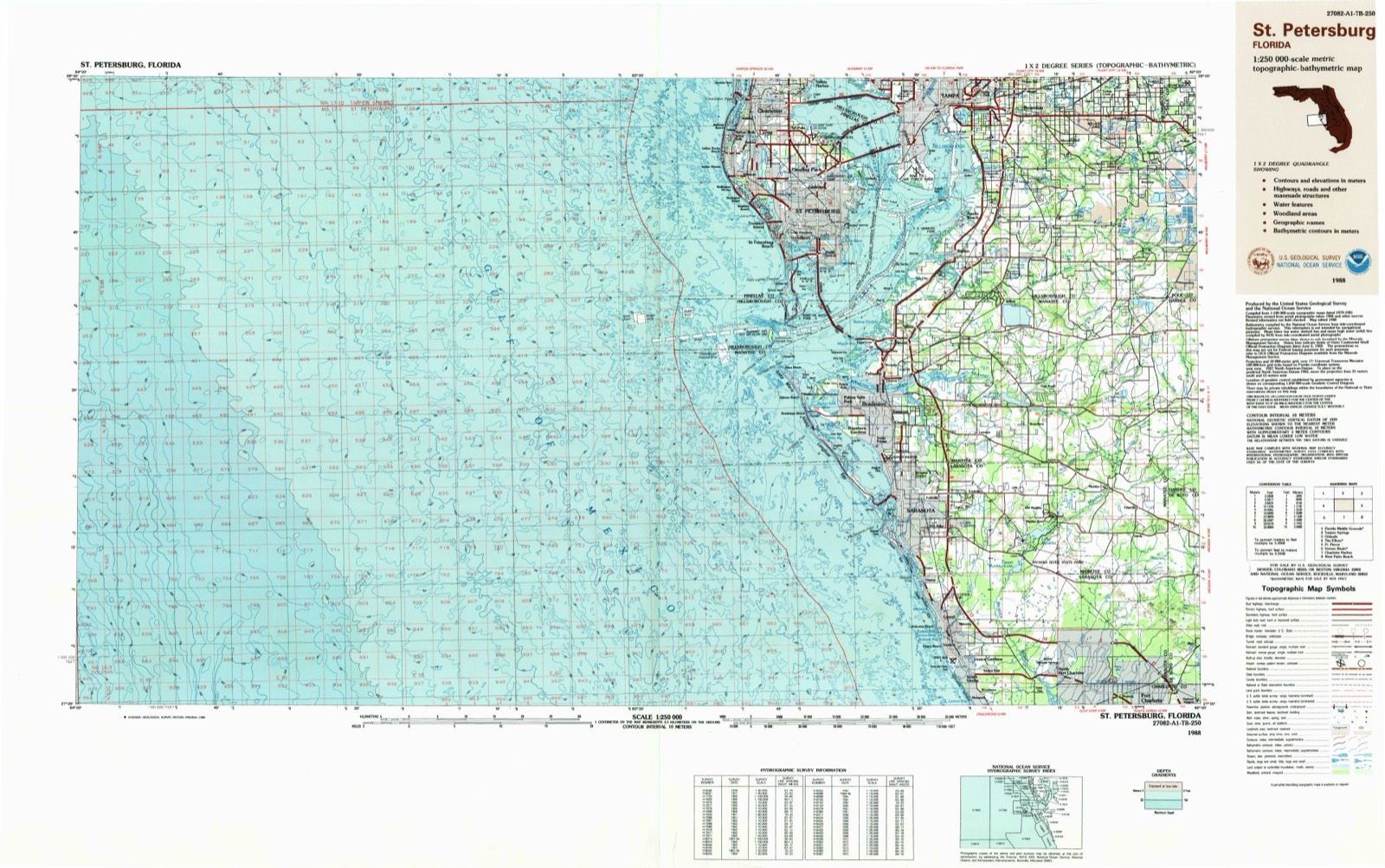
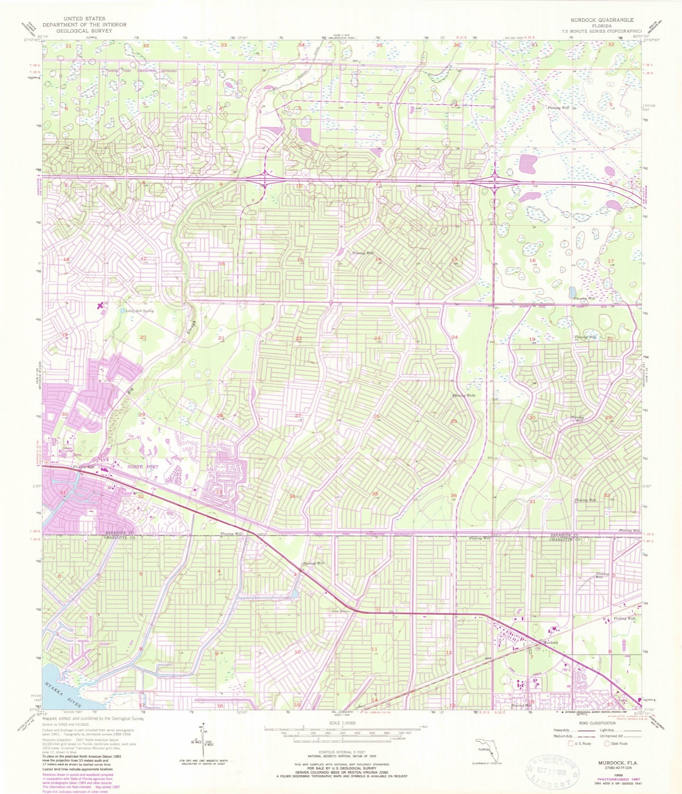
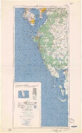
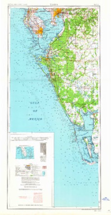
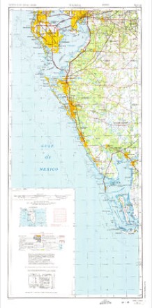
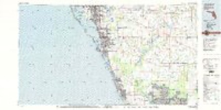
Topographic sheets covering this place
7 surveys from 11 printed sheetsMatched by testing this settlement's coordinate against the published boundary of every sheet in the United States Geological Survey's historical collection. Each opens the scanned sheet at the Survey.
- 1956 USGS Murdock quadrangle1:24000, 3 printings
- 1956 USGS Tampa quadrangle1:250000, 2 printings
- 1959 USGS Tampa quadrangle1:250000
- 1960 USGS Tampa quadrangle1:250000, 2 printings
- 1972 USGS Tampa quadrangle1:250000
- 1979 USGS Sarasota quadrangle1:100000
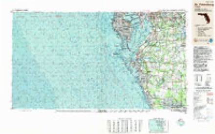
- 1988 USGS St Petersburg quadrangle1:250000
Fires near this place
1,171 since 1992Regional context, not property-specific evidence. The federal wildfire occurrence database lists 1,171 fires within 5 miles of Murdock between 1992 and 2020, burning about 11,327 acres in total. 225 started naturally. 110 were recorded as arson. Distance is straight-line from the map coordinates, so a fire counted here may appear on a neighbouring settlement's page as well.
| Reported cause | Fires |
|---|---|
| Equipment and vehicle use | 452 |
| Natural | 225 |
| Missing data/not specified/undetermined | 143 |
| Misuse of fire by a minor | 127 |
| Arson/incendiarism | 110 |
| Railroad operations and maintenance | 39 |
| Debris and open burning | 25 |
| Recreation and ceremony | 25 |
| Power generation/transmission/distribution | 10 |
| Fireworks | 9 |
| Smoking | 6 |
The most recent of them, most recent first, with the day each was reported and the service that recorded it.
| Date | Cause | Size | Reported by | Name on the report |
|---|---|---|---|---|
| 9 September 2019 | Natural | under an acre | Florida Forest Service | YORK AVE (08) |
| 9 September 2009 | Missing data/not specified/undetermined | under an acre | Florida Forest Service | 58-JOLLIVETTE FIRE-0488 |
| 9 September 1994 | Equipment and vehicle use | under an acre | Florida Forest Service | not named |
| 8 September 1997 | Equipment and vehicle use | under an acre | Florida Forest Service | not named |
| 8 September 1997 | Equipment and vehicle use | under an acre | Florida Forest Service | not named |
| 8 September 1997 | Equipment and vehicle use | 4.0 acres | Florida Forest Service | not named |
| 8 September 1996 | Natural | under an acre | Florida Forest Service | not named |
| 8 September 1994 | Natural | 2.0 acres | Florida Forest Service | not named |
Settlements close enough to share some of these fires:
Storms near this place
8 since 1994Regional context, not property-specific evidence. The National Weather Service names Murdock in 8 storm reports between 1994 and 2018: 3 tornado, 2 thunderstorm wind, 2 lightning, 1 hail. No death or injury is recorded in these reports. Each account below is quoted exactly as the forecast office filed it, from the NOAA Storm Events Database, and each date opens the federal record of that event.
| When | Event | Place named | Harm | What the report says |
|---|---|---|---|---|
| June 2018 | Lightning | Murdock | $500,000 | Broadcast media widely reported on a fire at a 3 story apartment complex that was believed to be started by a lightning strike. The fire caused major damage to the roof and top floor of the building, damaging 24 units and displacing around 100 residents. No injuries were reported from the fire. |
| August 2009 | Lightning | Murdock | $150,000 | Lightning struck a tree near a house and caused an attic fire that nearly consumed the home. |
| February 2016 | Tornado (EF0) | Murdock | $50,000 | An NWS Storm Survey found EF-0 Tornado Damage in Murdock. Damage mainly consisted of downed tress, damage light posts and blown out Windows. Winds were estimated to be around 65 mph. A Charlotte County Sheriffs deputy observed the tornado and it was also seen on video from the county administration building nearby. |
| December 2018 | Tornado (EF0) | Murdock | $30,000 | Damage path provided by Charlotte County Emergency Management. A weather station on a public building near the end of the tornado path recorded a 75 mph wind gust and was used to determine the timing. There was roof damage to a business on Veterans Boulevard and trees and branches down along the path. |
| June 2001 | Tornado (F0) | Murdock | $10,000 | A Skywarn Spotter reported a small F0 tornado, briefly touched downed and toppled a few large trees and several large branches near the intersection of Veterans Boulevard and Yorkshire Street in Murdock. |
| June 2012 | Thunderstorm Wind | Murdock | $5,000 | Broadcast media relayed a report of several trees and power lines down at US 92 and Wiggins Road in Plant City. |
| September 1994 | Thunderstorm Wind | Murdock | $500 | Thunderstorm winds and lightning strikes downed trees which caused widespread power outages. |
| June 2001 | Hail | Murdock | - | Golfball to dime sized hail was reported by several Skywarn Spotters across central Port Charlotte. |
Nearest settlements
The eight closest, with where each one stands in the county. Distances are straight-line, computed from the Geographic Names Information System coordinates.
| Map | Place | Distance | Sheets |
|---|---|---|---|
| Port Charlotte | 3.9 miles | 13 | |
| Vizcaya Lakes | 4.3 miles | 13 | |
| El Jobean | 4.8 miles | 13 | |
| Charlotte Harbor | 5.6 miles | 13 | |
| Harbor View | 6.3 miles | 13 | |
| Deep Creek | 7.0 miles | 11 | |
| Fishermens Village | 7.3 miles | 13 | |
| Punta Gorda Isles | 7.5 miles | 13 |
Elsewhere
Matched on this settlement's Geographic Names Information System number rather than its name, so it cannot be a different place of the same name in another state.
| Wikidata item Q136213669 | The structured record the population and elevation above come from. Public domain (CC0). |
Provenance
This settlement is recorded in the Geographic Names Information System as feature 287474. The sheet list is computed by point-in-boundary test against the United States Geological Survey's historical topographic inventory. Both are works of the United States government and carry no copyright under 17 U.S.C. 105.
Wildfire. Short, Karen C. 2022. Spatial wildfire occurrence data for the United States, 1992-2020 [FPA_FOD_20221014]. 6th Edition. Fort Collins, CO: Forest Service Research Data Archive. https://doi.org/10.2737/RDS-2013-0009.6 Collected with United States Government funding and usable without additional permissions or fees.
Storms. NOAA National Centers for Environmental Information, Storm Events Database https://www.ncei.noaa.gov/stormevents/ A work of the United States government, no copyright under 17 U.S.C. 105. Narratives are quoted verbatim from the National Weather Service report and are not edited or summarised.