 Block
BlockPort Charlotte, Florida
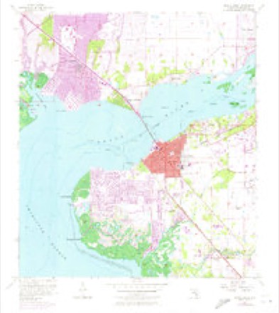
13 topographic sheets cover this place, the earliest surveyed in 1956 and the latest in 1981. It stands in the Port Charlotte census division. It lies in ZIP code area 33952. The Survey maps it on the Punta Gorda quadrangle. 60,625 people lived here at the 2020 count. It stands 7 feet above sea level.
Research this city
Then and now
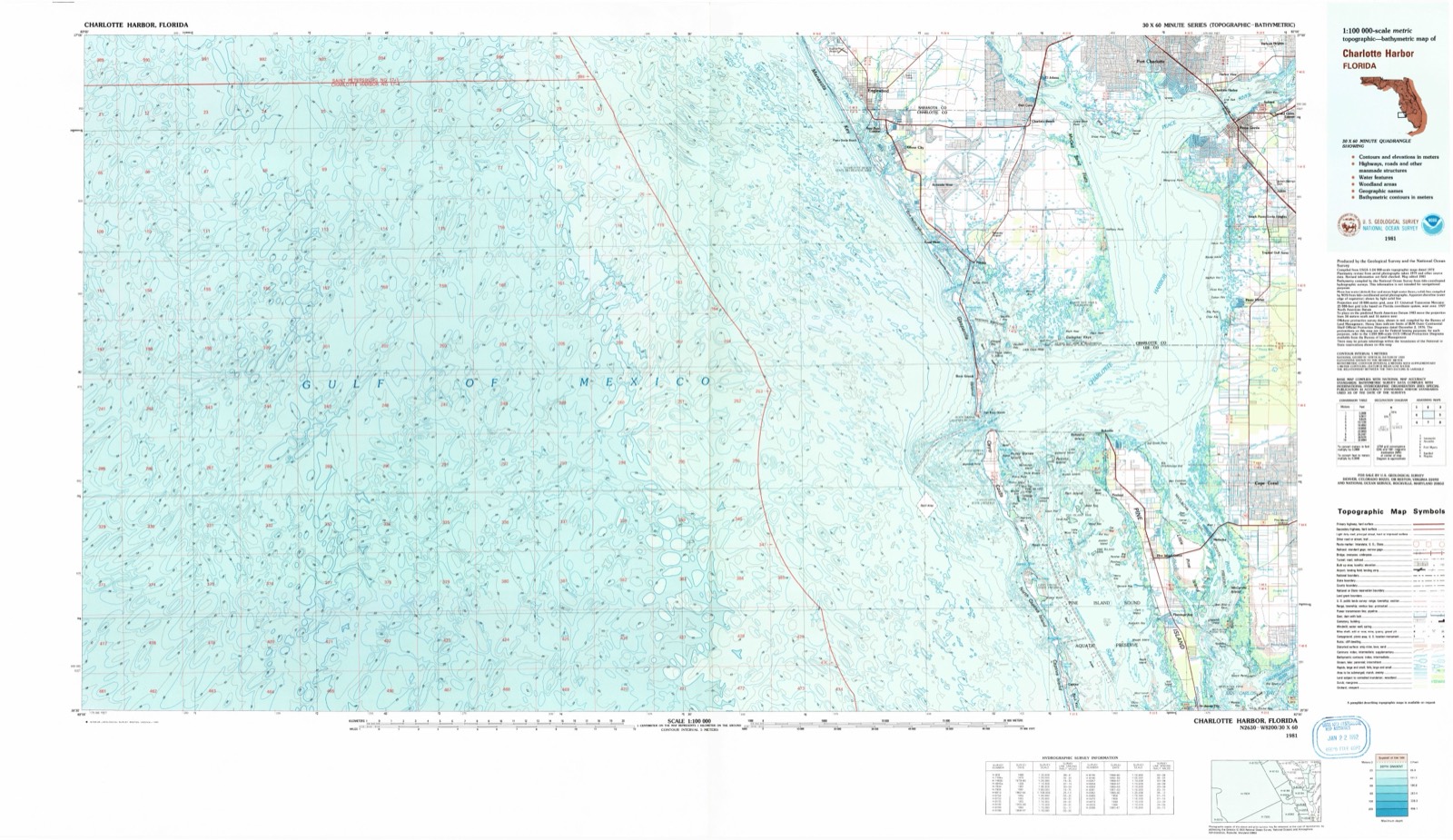
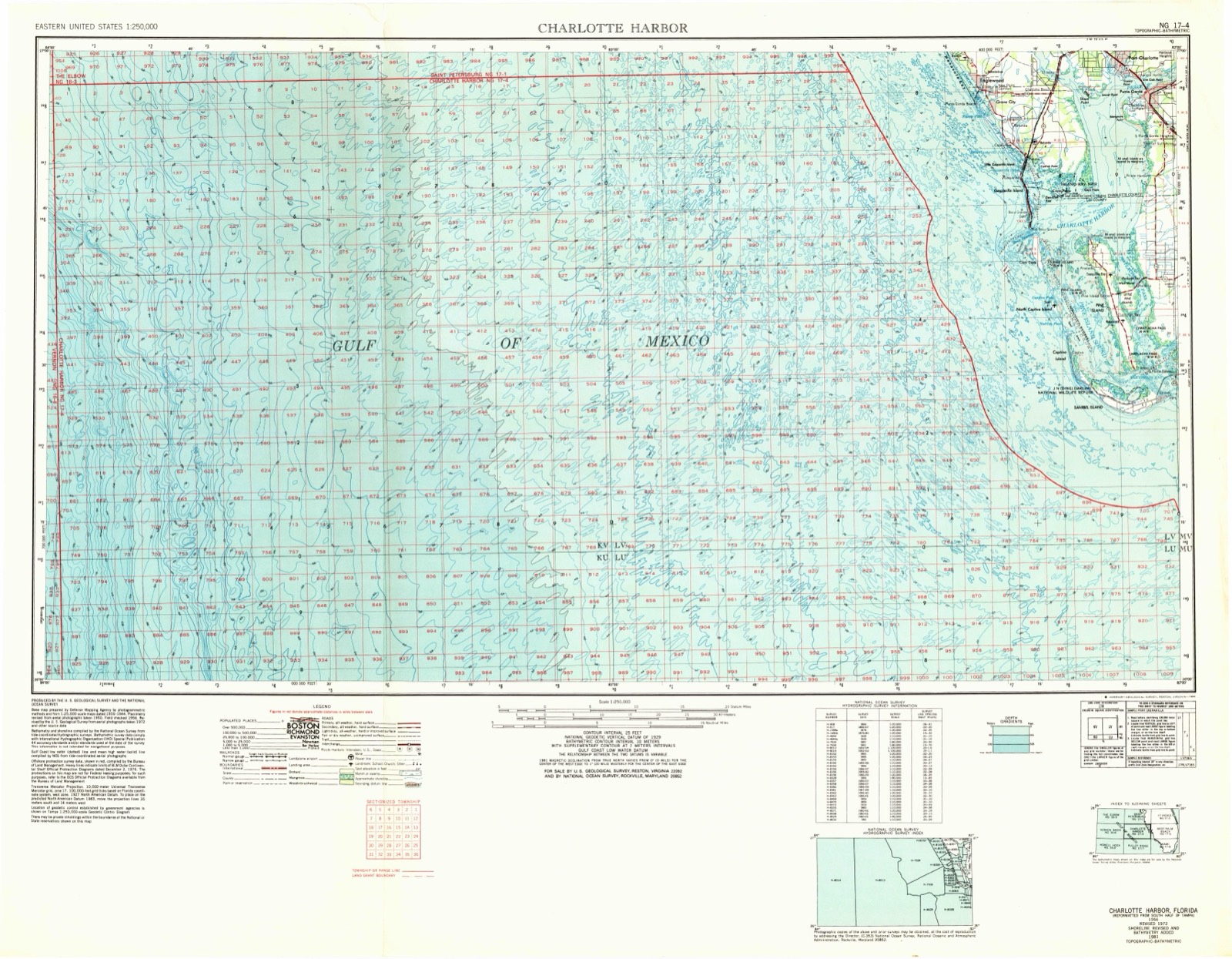
1956 to 1981The same ground, surveyed 25 years apart. Drag the handle to wipe between them. Both sheets are United States Geological Survey originals; neither has been altered.
Population over time
2 figuresPort Charlotte grew from 54,392 to 60,625 between 2010 and 2020. These are the recorded population figures Wikidata holds for this place, reached through the Geographic Names Information System number this page is keyed on rather than by name, so they belong to this place and not to another of the same name. Most are census counts, but not all are: an early figure may be a founding or settlement estimate, and an estimate published within five years of a census is left out. The change column is computed, and is left blank where more than 20 years separate a figure from the one before it, because a gap that long is not a change between two counts.
| Year | People | Change |
|---|---|---|
| 2010 | 54,392 | |
| 2020 | 60,625 | +6,233 (+11%) |
Topographic sheets covering this place
7 surveys from 13 printed sheetsMatched by testing this settlement's coordinate against the published boundary of every sheet in the United States Geological Survey's historical collection. Each opens the scanned sheet at the Survey.
- 1956 USGS Charlotte Harbor quadrangle1:250000
- 1956 USGS Tampa quadrangle1:250000, 2 printings
- 1957 USGS Punta Gorda quadrangle1:24000, 5 printings
- 1959 USGS Tampa quadrangle1:250000
- 1960 USGS Tampa quadrangle1:250000, 2 printings
- 1972 USGS Tampa quadrangle1:250000
- 1981 USGS Charlotte Harbor quadrangle1:100000
Fires near this place
522 since 1992Regional context, not property-specific evidence. The federal wildfire occurrence database lists 522 fires within 5 miles of Port Charlotte between 1992 and 2020, burning about 3,535 acres in total. 87 started naturally. 57 were recorded as arson. Distance is straight-line from the map coordinates, so a fire counted here may appear on a neighbouring settlement's page as well.
| Reported cause | Fires |
|---|---|
| Equipment and vehicle use | 164 |
| Natural | 87 |
| Misuse of fire by a minor | 83 |
| Arson/incendiarism | 57 |
| Missing data/not specified/undetermined | 48 |
| Railroad operations and maintenance | 29 |
| Debris and open burning | 24 |
| Recreation and ceremony | 13 |
| Power generation/transmission/distribution | 8 |
| Fireworks | 6 |
| Smoking | 3 |
The most recent of them, most recent first, with the day each was reported and the service that recorded it.
| Date | Cause | Size | Reported by | Name on the report |
|---|---|---|---|---|
| 9 September 2019 | Natural | under an acre | Florida Forest Service | YORK AVE (08) |
| 8 September 1996 | Natural | under an acre | Florida Forest Service | not named |
| 6 September 1996 | Natural | under an acre | Florida Forest Service | not named |
| 2 September 2005 | Natural | under an acre | Florida Forest Service | 08-FARNHAM FIRE-0419 |
| 19 September 1997 | Equipment and vehicle use | 1.0 acres | Florida Forest Service | not named |
| 18 September 1996 | Railroad operations and maintenance | under an acre | Florida Forest Service | not named |
| 13 September 1998 | Equipment and vehicle use | 2.5 acres | Florida Forest Service | not named |
| 9 August 2012 | Natural | under an acre | Florida Forest Service | MANSFIELD COMMAND (58) |
Settlements close enough to share some of these fires:
Mines and quarries near this place
3 within 5 milesRegional context, not property-specific evidence. The federal mineral resources record lists 3 workings within 5 miles of Port Charlotte: 3 producers. All of them still produce. What was taken out: Calcium, Stone, Crushed/Broken. Distance is straight-line from the map coordinates, so a quarry counted here may appear on a neighbouring settlement's page as well.
| Where | Site | Commodity | Status | Recorded |
|---|---|---|---|---|
| Route 31 Pit | Stone, Crushed/Broken | Producer | ||
| Pit 31 | Calcium | Producer | ||
| Rigby Airport Pit | Calcium | Producer |
Storms near this place
58 since 1993Regional context, not property-specific evidence. The National Weather Service names Port Charlotte in 58 storm reports between 1993 and 2019: 16 thunderstorm wind, 12 hail, 12 lightning, 7 tornado. The reports record 13 injuries. Each account below is quoted exactly as the forecast office filed it, from the NOAA Storm Events Database, and each date opens the federal record of that event.
| When | Event | Place named | Harm | What the report says |
|---|---|---|---|---|
| August 2011 | Lightning | Port Charlotte | 5 hurt | Five men were working on a roof when a bolt from the blue struck them. One of the men, 35-years-old, went into cardiac arrest as a result, and CPR was performed on him for three minutes before he was resuscitated. He was later hospitalized. |
| June 2006 | Tornado (F2) | Port Charlotte | 3 hurt, $500,000 | A small but destructive tornado rapidly developed near the merger of the east and west coast sea breezes over Port Charlotte. The first touch down was just northeast of the Charlotte County Cultural Center. It then moved southwest for about three miles ending around the 4200 block of Rock Creek Drive. It caused damage in several locations along its path, most of which was rated as F0/F1 on the Fujita Scale. However, damage rated as F2 occurred on the 300 block of East Tarpon Boulevard NW. One home wa |
| April 1993 | Tornado (F2) | Port Charlotte | 1 hurt, $5,000,000 | A tornado moved through a residential area of Port Charlotte and moved rapidly northeastward causing a 2-mile path of destruction. In all, 69 houses were damaged, 17 of which were severely damaged and one was destroyed. A male resident of this house was cut on the forearm and received a hairline fracture of his foot as the roof was completely lifted off the structure. Promenades Mall was then hit, severely damaging a Bryons department store which will be closed for 5 months for repairs, a supermarket, a medical center, a motel and several other small businesses. Many trees were uprooted, fences damaged, screen enclosures and outbuildings were destroyed. A wind gust of 61 mph was observed at Punta Gorda Airport at 0147 EST. Damage was estimated at $1 million by the emergency manager. |
| April 2000 | Wildfire | Port Charlotte | 1 hurt, $5,000 | Wildfires caused minor damage to the siding of a home and burned over 90 acres of brush and scrub trees in Port Charlotte. One firefighter incurred burns to his arms and face while trying to suppress the wildfire. |
| August 2004 | Lightning | Port Charlotte | 1 hurt | A 15 year old male was struck by lightning while he helped his uncle repair a roof damaged by Hurricane Charley. An ambulance happened to be parked at the end of the street and paramedics got the boy's heart beating again. He was listed in critical condition at an area hospital with burn marks on his head, chest, and foot. The time of the event was estimated. |
| June 2001 | Lightning | Port Charlotte | 1 hurt | Charlotte county emergency management reported that a female was struck and injured by lightning near the intersection of U.S. Highway 41 and Olean Avenue in Port Charlotte. |
| June 1996 | Lightning | Port Charlotte | 1 hurt | no account filed |
| July 1994 | Thunderstorm Wind | Port Charlotte | $500,000 | In Port Charlotte, thunderstorm winds blew the roof off of a business and a pool cage at a residence was damage. In Punta Gorda, two sailboats were knocked off their stands at a marina and an overhang at a boat dock was peeled back. |
| September 1997 | Flash Flood | Port Charlotte | $200,000 | no account filed |
| June 2000 | Lightning | Port Charlotte | $100,000 | Charlotte County Emergency Management reported that a home was burnt to the ground on the 17,000 block of Ohara Drive in Port Charlotte after it's roof was struck by lightning. |
| September 2003 | Flash Flood | Port Charlotte | $90,000 | A feeder band ahead of Tropical Storm Henri produced seven inches of rain in three hours in the Tee-N-Green area of Punta Gorda. Numerous streets were flooded and water lapped into homes due to the wakes produced by passing vehicles. The hardest hit area was Marion Street and the Whidden Industrial area in Punta Gorda, and along Edgewater and Kings Highway in Port Charlotte. |
| July 1998 | Lightning | Port Charlotte | $90,000 | Lightning struck and ignited a home on the 18,000 block of Klinger Circle in Port Charlotte. |
| September 2000 | Tornado (F0) | Port Charlotte | $75,000 | A fast moving tornado, associated with an outer rainband of Hurricane Gordon, briefly touched down near the Port Charlotte Yacht Club and Public Beach near Harbor Boulevard in Port Charlotte. The tornado continued to sporadically touch down along a narrow path as it moved rapidly north northwest across Charlotte county. The tornado damaged the roofs of a few homes, a couple of carports and downed a few trees, power lines and large branches before it crossed into Sarasota County. |
| June 1997 | Lightning | Port Charlotte | $75,000 | Lightning ignited nearly 20 fires in Port Charlotte. |
| July 1999 | Flood | Port Charlotte | $75,000 | no account filed |
| March 1999 | Tornado (F0) | Port Charlotte | $50,000 | A short lived tornado touched down in the Lemon Bay Isles Mobile Home Park along State Road 776 and Blue Heron Road and caused minor roof, screen and carport damage to 18 mobile homes along a narrow southwest to northeast path. The tornado lifted and dissipated between Tern Drive and Marcia in the Lemon Bay Isles Mobile Home Park. |
| September 1997 | Flood | Port Charlotte | $50,000 | Heavy rainfall of four to six inches caused localized flooding of roads, streams and low-lying areas over a broad area of Southwest and South Central Florida. |
| April 2000 | Wildfire | Port Charlotte | $30,000 | Wildfires destroyed a boat, damaged a home and consumed 70 acres of brush and scrub trees in Port Charlotte. |
| June 2001 | Lightning | Port Charlotte | $25,000 | Lightning struck a home on the 21000 block of Denise Street in Port Charlotte and caused major damage to the kitchen. Lightning struck the roof of the home and traveled downward into the kitchen where it caused up to $25,000 in damage. |
| April 1999 | Wildfire | Port Charlotte | $25,000 | A wildfire ignited and destroyed a $6,000 dollar speed boat, a $2,500 shed and an additional 17 junk and antique cars along the 300 block of Cory Street, six miles west of Port Charlotte. Over 500 acres of scrub trees and brush were also consumed by the blaze. |
| August 1996 | Thunderstorm Wind | Port Charlotte | $15,000 | no account filed |
| January 1999 | Thunderstorm Wind | Port Charlotte | $10,000 | Thunderstorm winds damaged a few sheds, carports, lanais and toppled a couple of trees in Port Charlotte. |
| July 1998 | Flood | Port Charlotte | $10,000 | Four to eight inches of heavy rain in less than three hours caused localized street flooding in Port Charlotte. A few vehicles incurred water damage at low lying areas in Port Charlotte. |
| May 1996 | Lightning | Port Charlotte | $10,000 | no account filed |
| August 2019 | Lightning | Port Charlotte | $6,000 | Lightning struck a septic tank, igniting gas in the plumbing, which caused a toilet in the house to explode. No one was injured. |
| June 2001 | Thunderstorm Wind | Port Charlotte | $5,000 | Charlotte county emergency management reported that thunderstorm winds downed a few large trees, large branches and power lines in Port Charlotte. |
| August 2001 | Thunderstorm Wind | Port Charlotte | $5,000 | Charlotte county emergency management reported that thunderstorm winds, estimated at 50 mph, toppled a large tree atop a home along Birchcrest Boulevard in Port Charlotte. The toppled tree caused nearly 5,000 thousand dollars worth of roof damage to the home. |
| July 1999 | Thunderstorm Wind | Port Charlotte | $5,000 | Thunderstorm winds of up to 45 mph tore a small section of light weight sheet metal from the roof overhang of Charlotte County Stadium. |
| September 1998 | Thunderstorm Wind | Port Charlotte | $5,000 | A thunderstorm wind gust of up to 50 mph damaged the aluminum roof of a mobile home on the 2100 block of Kings Highway in Port Charlotte. |
| August 1998 | Thunderstorm Wind | Port Charlotte | $5,000 | Thunderstorm winds estimated at 45 mph removed the aluminum roof cover of a mobile home at the Holiday Park mobile home complex along U.S. Highway 41 northwest of Port Charlotte. |
| August 1997 | Thunderstorm Wind | Port Charlotte | $5,000 | Thunderstorm winds up to 45 mph caused minor damage to pool enclosures, roof tiles and small branches to several mobile homes in Cape Haze. |
| January 1993 | Thunderstorm Wind | Port Charlotte | $5,000 | Strong thunderstorm winds downed trees and power lines. |
| August 1996 | Lightning | Port Charlotte | $5,000 | no account filed |
| July 1996 | Thunderstorm Wind | Port Charlotte | $4,000 | no account filed |
| August 2007 | Tornado (EF0) | Port Charlotte | $3,000 | A brief tornado touchdown was reported by law enforcement in the Deep Creek subdivision. The tornado caused minor damage to trees, power lines, and vehicles. |
| April 1999 | Dust Devil | Port Charlotte | $1,000 | Dust devils caused minor roof shingle damage to a few homes along Peachland Boulevard and Gingold Road in Port Charlotte. |
| July 1995 | Thunderstorm Wind | Port Charlotte | $1,000 | Thunderstorm winds of less than 45 mph downed a screen lanai and a few power lines on Sevrin Road. |
| June 2017 | Thunderstorm Wind | Port Charlotte | - | A home weather station near Port Charlotte reported a wind gust of 51 knots. |
| June 2017 | Thunderstorm Wind | Port Charlotte | - | A home weather station in Port Charlotte reported a peak wind gust of 53 knots. |
| June 2012 | Hail | Port Charlotte | - | Broadcast media relayed a report of quarter sized hail at Peachland Boulevard and Harbor Boulevard in Port Charlotte. |
| June 2008 | Hail | Port Charlotte | - | The public reported penny to nickel sized hail near Port Charlotte. |
| August 2007 | Thunderstorm Wind | Port Charlotte | - | A home weather station measured a 60 MPH wind gust near Highway 41 and Harbor blvd. A wind gust of 44 MPH was reported at the Punta Gorda airport. |
| July 2006 | Hail | Port Charlotte | - | An amateur radio operator reported nickel size hail in Port Charlotte. |
| August 2006 | Heavy Rain | Port Charlotte | - | A rain band from Tropical Storm Ernesto produced a narrow swath of 2 to 4 inches of rain along Interstate 75 in Charlotte County. Rainfall reports from the the hardest hit areas in south central parts of the county were not available but were estimated by radar. The Charlotte County Airport reported 2.27 inches of rain. Tides rose to one foot above normal well after Ernesto had passed. |
| August 2006 | Hail | Port Charlotte | - | Penny size hail was reported by the public in Port Charlotte. |
| August 2004 | Tornado (F1) | Port Charlotte | - | A tornado associated with the north side of the eyewall of Hurricane Charley intensified the damage to homes near the intersections of Gibbralter Drive and Conway Blvd. to Olean Blvd. and Starlite Lane. |
| July 2004 | Hail | Port Charlotte | - | Quarter size hail was reported just north of the Peace River and Charlotte Harbor. |
| July 2002 | Lightning | Port Charlotte | - | Lightning caused at least four brush fires in the Englewood area. |
| June 2002 | Tornado (F0) | Port Charlotte | - | The tornado started out as a waterspout over Charlotte Bay and moved onshore. Damage survey showed tornado was in an area of mostly vacant lots with numerous dead pine trees killed by previous wild fire. Numerous trees were down and a number of nearby power lines were broken or shorted out by airborne debris, but the closest home was outside the area of tornadic wind and no structure damage was reported. |
| June 2001 | Hail | Port Charlotte | - | Dime sized hail was reported by a Skywarn Spotter near the intersection of Olean and Conway Boulevards in Port Charlotte. |
| July 2001 | Hail | Port Charlotte | - | Multiple reports of dime sized hail were received from Skywarn Spotters in Port Charlotte. |
| September 2000 | Hail | Port Charlotte | - | The Charlotte County Sheriffs Department reported that one of their deputies observed quarter sized hail near the intersection of U.S. Highway 41 and Murdock Circle in Port Charlotte. |
| August 1998 | Hail | Port Charlotte | - | Dime sized hail was reported near the intersection of U.S. Highway 41 and Harborview Road in Charlotte Harbor by the Charlotte County Sheriffs Office. |
| July 1997 | Hail | Port Charlotte | - | Golfball sized hail was reported at Veterans Boulevard and Atwater Street in Port Charlotte. |
| June 1995 | Hail | Port Charlotte | - | County Emergency Operations Center reported tornado on the ground in Port Charlotte but caused no damage. Golf ball-size hail reported in Harbor Heights. |
| January 1993 | Thunderstorm Wind | Port Charlotte | - | Strong thunderstorm winds blew over several trees. |
| August 1993 | Hail | Port Charlotte | - | Quarter-size hail fell. |
| July 1996 | Heavy Rain | Port Charlotte | - | no account filed |
Nearest settlements
The eight closest, with where each one stands in the county. Distances are straight-line, computed from the Geographic Names Information System coordinates.
| Map | Place | Distance | Sheets |
|---|---|---|---|
| Charlotte Harbor | 1.8 miles | 13 | |
| Harbor View | 2.7 miles | 13 | |
| Fishermens Village | 3.6 miles | 13 | |
| Murdock | 3.9 miles | 11 | |
| Solana | 4.0 miles | 13 | |
| Punta Gorda | 4.0 miles | 13 | |
| Punta Gorda Isles | 4.1 miles | 13 | |
| Harbour Heights | 4.8 miles | 13 |
Elsewhere
Matched on this settlement's Geographic Names Information System number rather than its name, so it cannot be a different place of the same name in another state.
| Wikipedia article on Port Charlotte | An encyclopaedic summary. Its text is share-alike, so it is linked here rather than copied. |
| Wikidata item Q1022776 | The structured record the population and elevation above come from. Public domain (CC0). |
Provenance
This settlement is recorded in the Geographic Names Information System as feature 289233. The sheet list is computed by point-in-boundary test against the United States Geological Survey's historical topographic inventory. Both are works of the United States government and carry no copyright under 17 U.S.C. 105.
Wildfire. Short, Karen C. 2022. Spatial wildfire occurrence data for the United States, 1992-2020 [FPA_FOD_20221014]. 6th Edition. Fort Collins, CO: Forest Service Research Data Archive. https://doi.org/10.2737/RDS-2013-0009.6 Collected with United States Government funding and usable without additional permissions or fees.
Mines and quarries. USGS Mineral Resources Data System (MRDS) https://mrdata.usgs.gov/mrds/ A work of the United States government, no copyright under 17 U.S.C. 105.
Storms. NOAA National Centers for Environmental Information, Storm Events Database https://www.ncei.noaa.gov/stormevents/ A work of the United States government, no copyright under 17 U.S.C. 105. Narratives are quoted verbatim from the National Weather Service report and are not edited or summarised.