 Block
BlockTavares, Florida
12 topographic sheets cover this place, the earliest surveyed in 1955 and the latest in 1979. It stands in the Tavares census division. It lies in ZIP code area 32778. The Survey maps it on the Eustis quadrangle. 19,003 people lived here at the 2020 count. It stands 75 feet above sea level.
Then and now
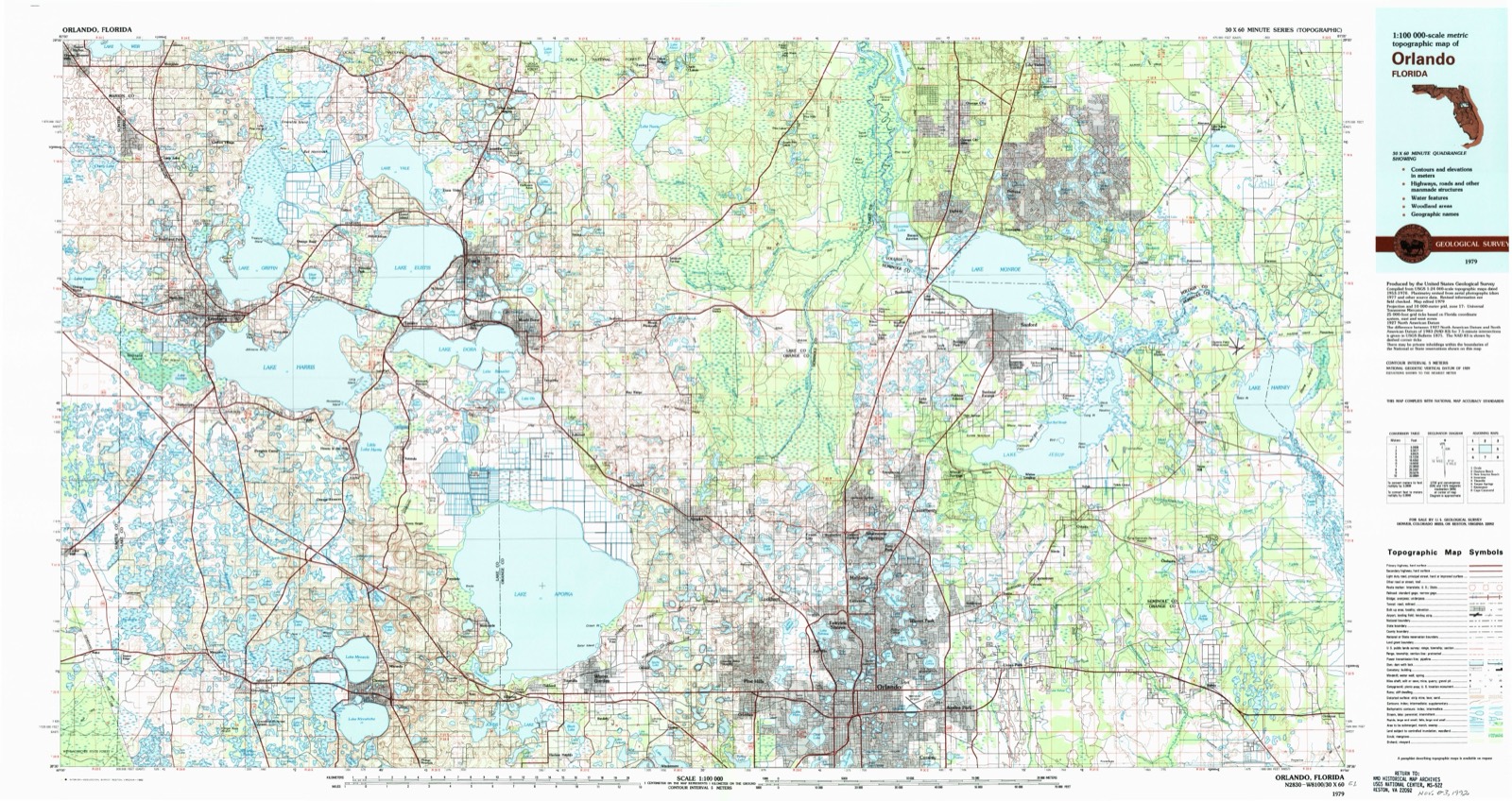
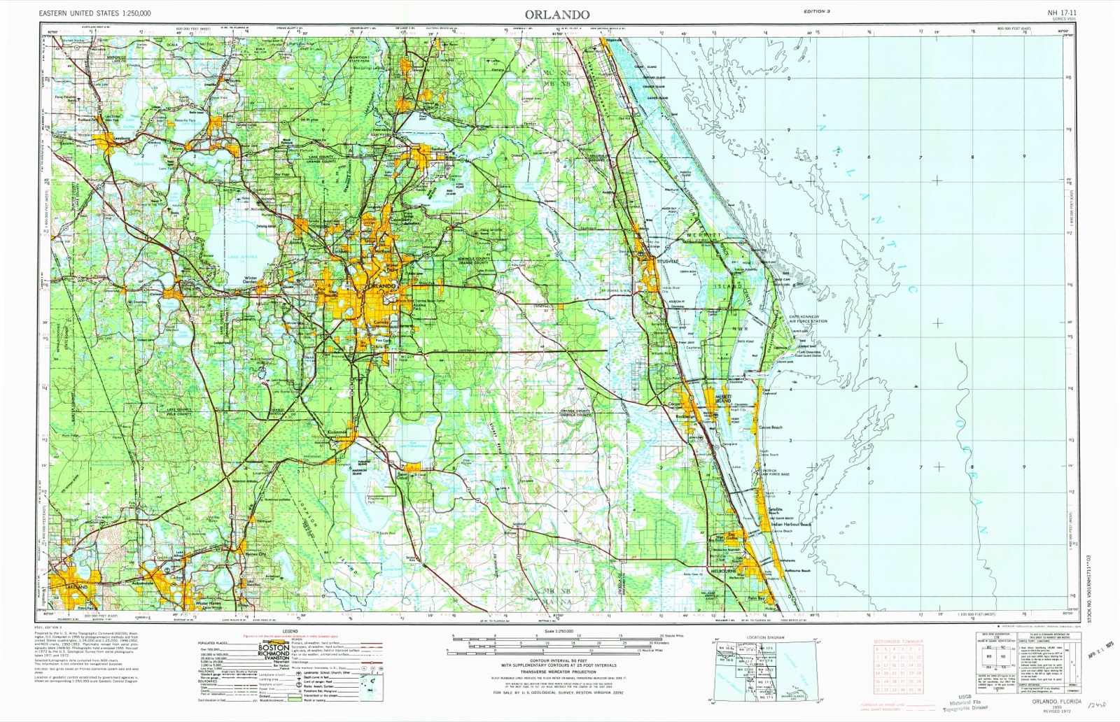
1955 to 1979The same ground, surveyed 24 years apart. Drag the handle to wipe between them. Both sheets are United States Geological Survey originals; neither has been altered.
On record in Tavares
Buildings and businesses the archive holds for this place. Each opens its own page, with the source record it came from.
On the National Register 1 record
 Lake County Courthouselisted 1998
Population over time
2 figuresTavares grew from 13,951 to 19,003 between 2010 and 2020. These are the recorded population figures Wikidata holds for this place, reached through the Geographic Names Information System number this page is keyed on rather than by name, so they belong to this place and not to another of the same name. Most are census counts, but not all are: an early figure may be a founding or settlement estimate, and an estimate published within five years of a census is left out. The change column is computed, and is left blank where more than 20 years separate a figure from the one before it, because a gap that long is not a change between two counts.
| Year | People | Change |
|---|---|---|
| 2010 | 13,951 | |
| 2020 | 19,003 | +5,052 (+36%) |
Topographic sheets covering this place
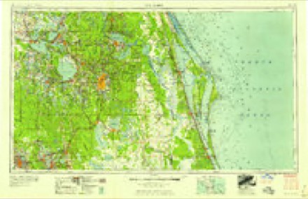
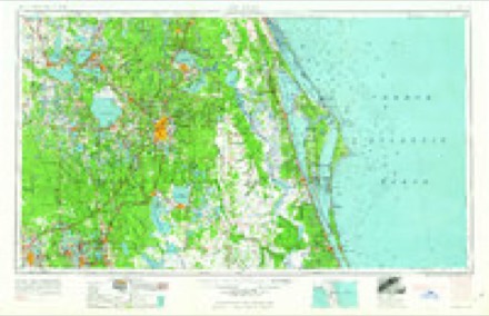
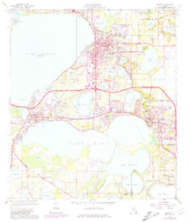
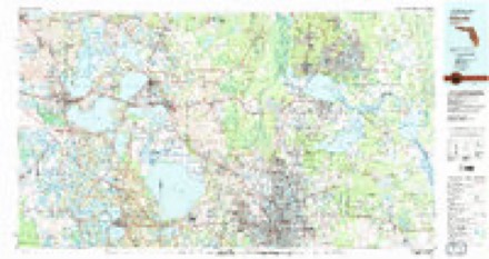
6 surveys from 12 printed sheetsMatched by testing this settlement's coordinate against the published boundary of every sheet in the United States Geological Survey's historical collection. Each opens the scanned sheet at the Survey.
- 1955 USGS Orlando quadrangle1:250000, 3 printings
- 1957 USGS Orlando quadrangle1:250000
- 1958 USGS Orlando quadrangle1:250000
- 1962 USGS Orlando quadrangle1:250000
- 1966 USGS Eustis quadrangle1:24000, 3 printings
- 1979 USGS Orlando quadrangle1:100000, 3 printings
Fires near this place
99 since 1992Regional context, not property-specific evidence. The federal wildfire occurrence database lists 99 fires within 5 miles of Tavares between 1992 and 2020, burning about 1,110 acres in total. 21 started naturally. 12 were recorded as arson. Distance is straight-line from the map coordinates, so a fire counted here may appear on a neighbouring settlement's page as well.
| Reported cause | Fires |
|---|---|
| Railroad operations and maintenance | 25 |
| Natural | 21 |
| Debris and open burning | 14 |
| Arson/incendiarism | 12 |
| Equipment and vehicle use | 10 |
| Misuse of fire by a minor | 7 |
| Missing data/not specified/undetermined | 6 |
| Recreation and ceremony | 3 |
| Power generation/transmission/distribution | 1 |
The most recent of them, most recent first, with the day each was reported and the service that recorded it.
| Date | Cause | Size | Reported by | Name on the report |
|---|---|---|---|---|
| 3 September 2001 | Natural | 5.0 acres | Florida Forest Service | not named |
| 28 September 2018 | Arson/incendiarism | under an acre | Florida Forest Service | HURRICANE (35) |
| 19 September 2019 | Debris and open burning | 1.0 acres | Florida Forest Service | GRAND ISLAND SHORES (35) |
| 18 September 2000 | Railroad operations and maintenance | under an acre | Florida Forest Service | not named |
| 7 August 2006 | Natural | under an acre | Florida Forest Service | 35/LAST RANCH FIRE/0865 |
| 21 August 2007 | Arson/incendiarism | 2.1 acres | Florida Forest Service | 35/LAKE PINES FIRE/0996 |
| 19 August 1997 | Misuse of fire by a minor | under an acre | Florida Forest Service | not named |
| 14 August 1993 | Natural | 29 acres | Florida Forest Service | not named |
Settlements close enough to share some of these fires:
Mines and quarries near this place
3 within 5 milesRegional context, not property-specific evidence. The federal mineral resources record lists 3 workings within 5 miles of Tavares: 1 producer, 1 unknown, 1 prospect. 1 still produces. What was taken out: Sand and Gravel, Construction, Sand, Diatomite. Distance is straight-line from the map coordinates, so a quarry counted here may appear on a neighbouring settlement's page as well.
| Where | Site | Commodity | Status | Recorded |
|---|---|---|---|---|
| Astatula Sand Mine | Sand and Gravel, Construction | Producer | ||
| Florida Rock Industries, Inc - Astatula Mine | Sand | Unknown | ||
| Unnamed Diatomite Deposit | Diatomite | Prospect |
Storms near this place
20 since 1997Regional context, not property-specific evidence. The National Weather Service names Tavares in 20 storm reports between 1997 and 2024: 8 hail, 7 thunderstorm wind, 4 tornado, 1 lightning. The reports record 1 injury. Each account below is quoted exactly as the forecast office filed it, from the NOAA Storm Events Database, and each date opens the federal record of that event.
| When | Event | Place named | Harm | What the report says |
|---|---|---|---|---|
| July 2002 | Lightning | Tavares | 1 hurt | A 19 year old man was struck and seriously injured by lightning while riding on a personal water craft. |
| June 1998 | Thunderstorm Wind | Tavares | $150,000 | Thunderstorm winds blew the bay doors out at a car dealership. Winds blew down a church steeple, damaged two mobile homes. |
| April 1997 | Tornado (F0) | Tavares | $150,000 | A small tornado touched down briefly in the town of Tavares blowing down trees and power lines and damaging 25 homes and mobile homes. |
| April 1997 | Tornado (F0) | Tavares | $150,000 | A small tornado touched down briefly in the town of Tavares blowing down trees and power lines and damaging 25 homes and mobile homes. |
| July 2015 | Thunderstorm Wind | Tavares | $50,000 | A thunderstorm produced a locally damaging microburst which downed one large and partially rotten oak tree in Tavares. The tree toppled onto a playground and damaged a fence and shed. Other small branches and twigs were downed in the immediate vicinity. Winds were estimated at 50 to 55 mph. |
| July 2000 | Thunderstorm Wind | Tavares | $50,000 | Strong downburst winds blew down trees and damaged a river cruise boat near Tavares. |
| May 2022 | Thunderstorm Wind | Tavares | $25,000 | Lake County Emergency Management reported numerous trees were knocked down and several homes sustained wind damage in the city of Tavares due to straight-line winds. Two apartment complexes along East Alfred Street suffered roof damage. There were several trees knocked down on Anderson Road and near the intersection of Druid Place and Laurel Way, with some power lines being knocked down. A home in the Lake Dora Manor subdivision sustained minor roof damage. |
| June 2014 | Thunderstorm Wind | Tavares | $1,000 | A thunderstorm with estimated wind gusts up to 55 mph produced minor damage in Tavares. Soffits damaged on two adjacent homes and metal porch roof blown in on another home. |
| February 2024 | Hail | Tavares | - | Quarter sized hail reported at the seaplane base in Tavares. |
| April 2023 | Thunderstorm Wind | Tavares | - | Emergency manager reports trees down or uprooted, some landing on roofs, causing structural damage to homes near Tavares and Oakland Park. |
| May 2022 | Hail | Tavares | - | Amateur radio operator relayed report of quarter-sized hail near the intersection of U.S. Highway 441 and Banning Beach Road in Tavares. |
| June 2022 | Hail | Tavares | - | Lake County Emergency Management reported penny sized hail near the intersection of West Alfred Street and West Maud Street in Tavares. |
| June 2020 | Tornado (EF0) | Tavares | - | Based on numerous videos, pictures, and reports received from Lake County Emergency Management, Lake County Sheriff's Office, local broadcast media, trained spotters and the public, a waterspout on Lake Dora came onshore in Tavares as a brief tornado before quickly dissipating. The waterspout formed on Lake Dora at approximately 1741 LST. The waterspout came onshore on the north side of the lake near the 32900th block of Lakeshore Drive in Tavares at approximately 1742 LST, as a weakening tornado. The tornado knocked down a power pole and transformer on Lakeshore Drive before dissipating north of the road. Peak winds are estimated between 60-65 mph. No other damages or injuries occurred. |
| July 2018 | Tornado (EF0) | Tavares | - | Based on photographs and videos received from the public, local media, and emergency management, the NWS Melbourne determined a high-end EF-0 tornado, with winds of 80-85 mph, occurred in Tavares. The damage showed a discontinuous tornado track moving to the southwest along a nearly one mile path near U.S. Highway 441. The tornado lasted approximately 5 minutes. The most significant damage occurred to a warehouse/mobile unit located behind a Winn Dixie near the 450th block of East Burleigh Boulevard in Tavares. This structure was destroyed, and a piece of sheet metal was lofted onto a nearby power pole. Also, the Fish Camp Lake Restaurant located at the intersection of U.S. Highway 441 and North Lakeshore Boulevard sustained moderate roof damage. The exterior kitchen exhaust fan was ripped off the roof and thrown onto a nearby street. Adjacent to the restaurant at the Lake Tire & Auto Store, several wood fences were knocked over and a small tree was uprooted, falling onto a trailer. Additional reports of very minor damage occurred along US Highway 441, such as small tree limbs and branches knocked off trees, and small fences knocked over. A member of the public relayed a video from a boat on Lake Eustis showing the tornado as it was impacting the area near the Fish Camp Lake Restaurant. DI8, DOD2, EXP-LB; DI3, DOD4, EXP-LB. |
| January 2017 | Hail | Tavares | - | A photo re-tweeted via Twitter by broadcast media showed dime to quarter size hail fell in Tavares during passage of an isolated severe thunderstorm ahead of a strong squall line. |
| March 2011 | Thunderstorm Wind | Tavares | - | Multiple trees down on Acorn Court. |
| May 2009 | Hail | Tavares | - | A public report of half dollar size hail falling in Tavares was relayed by NWS Tampa Bay. |
| May 2005 | Hail | Tavares | - | no account filed |
| May 2000 | Hail | Tavares | - | no account filed |
| June 1998 | Hail | Tavares | - | no account filed |
Nearest settlements
The eight closest, with where each one stands in the county. Distances are straight-line, computed from the Geographic Names Information System coordinates.
| Map | Place | Distance | Sheets |
|---|---|---|---|
| Mount Homer | 2.2 miles | 12 | |
| Oakland Park | 2.6 miles | 12 | |
| Lane Park | 2.8 miles | 12 | |
| Ellsworth Junction | 2.8 miles | 12 | |
| Bassville Park | 3.4 miles | 12 | |
| Eustis | 4.0 miles | 12 | |
| Mount Dora | 4.3 miles | 12 | |
| Mid Florida Lakes | 4.4 miles | 12 |
Elsewhere
Matched on this settlement's Geographic Names Information System number rather than its name, so it cannot be a different place of the same name in another state.
| Wikipedia article on Tavares | An encyclopaedic summary. Its text is share-alike, so it is linked here rather than copied. |
| Wikidata item Q2152335 | The structured record the population and elevation above come from. Public domain (CC0). |
Provenance
This settlement is recorded in the Geographic Names Information System as feature 292058. The sheet list is computed by point-in-boundary test against the United States Geological Survey's historical topographic inventory. Both are works of the United States government and carry no copyright under 17 U.S.C. 105.
Wildfire. Short, Karen C. 2022. Spatial wildfire occurrence data for the United States, 1992-2020 [FPA_FOD_20221014]. 6th Edition. Fort Collins, CO: Forest Service Research Data Archive. https://doi.org/10.2737/RDS-2013-0009.6 Collected with United States Government funding and usable without additional permissions or fees.
Mines and quarries. USGS Mineral Resources Data System (MRDS) https://mrdata.usgs.gov/mrds/ A work of the United States government, no copyright under 17 U.S.C. 105.
Storms. NOAA National Centers for Environmental Information, Storm Events Database https://www.ncei.noaa.gov/stormevents/ A work of the United States government, no copyright under 17 U.S.C. 105. Narratives are quoted verbatim from the National Weather Service report and are not edited or summarised.