 Block
BlockTequesta, Florida
16 topographic sheets cover this place, the earliest surveyed in 1948 and the latest in 1987. It stands in the Jupiter census division. It lies in ZIP code area 33458. The Survey maps it on the Rood quadrangle. 6,158 people lived here at the 2020 count. It stands 10 feet above sea level.
Then and now
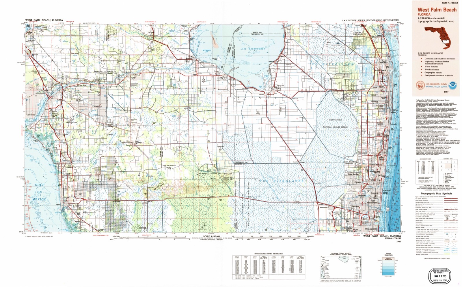
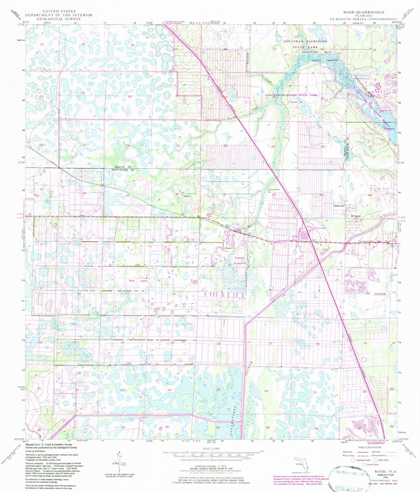
1948 to 1987The same ground, surveyed 39 years apart. Drag the handle to wipe between them. Both sheets are United States Geological Survey originals; neither has been altered.
Compare 1948 against another survey:
Population over time
2 figuresTequesta grew from 5,629 to 6,158 between 2010 and 2020. These are the recorded population figures Wikidata holds for this place, reached through the Geographic Names Information System number this page is keyed on rather than by name, so they belong to this place and not to another of the same name. Most are census counts, but not all are: an early figure may be a founding or settlement estimate, and an estimate published within five years of a census is left out. The change column is computed, and is left blank where more than 20 years separate a figure from the one before it, because a gap that long is not a change between two counts.
| Year | People | Change |
|---|---|---|
| 2010 | 5,629 | |
| 2020 | 6,158 | +529 (+9%) |
Topographic sheets covering this place
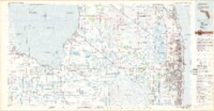
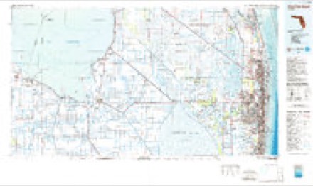
8 surveys from 16 printed sheetsMatched by testing this settlement's coordinate against the published boundary of every sheet in the United States Geological Survey's historical collection. Each opens the scanned sheet at the Survey.
- 1948 USGS Rood quadrangle1:24000, 5 printings
- 1949 USGS Rood quadrangle1:24000, 2 printings
- 1956 USGS West Palm Beach quadrangle1:250000, 2 printings
- 1957 USGS West Palm Beach quadrangle1:250000
- 1958 USGS West Palm Beach quadrangle1:250000, 2 printings
- 1981 USGS West Palm Beach quadrangle1:100000
- 1985 USGS West Palm Beach quadrangle1:100000
- 1987 USGS West Palm Beach quadrangle1:250000, 2 printings




Fires near this place
78 since 1992Regional context, not property-specific evidence. The federal wildfire occurrence database lists 78 fires within 5 miles of Tequesta between 1992 and 2020, burning about 2,949 acres in total. 31 started naturally. 4 were recorded as arson. Distance is straight-line from the map coordinates, so a fire counted here may appear on a neighbouring settlement's page as well.
| Reported cause | Fires |
|---|---|
| Natural | 31 |
| Misuse of fire by a minor | 12 |
| Missing data/not specified/undetermined | 11 |
| Recreation and ceremony | 5 |
| Railroad operations and maintenance | 4 |
| Arson/incendiarism | 4 |
| Debris and open burning | 4 |
| Power generation/transmission/distribution | 3 |
| Equipment and vehicle use | 2 |
| Fireworks | 1 |
| Smoking | 1 |
The most recent of them, most recent first, with the day each was reported and the service that recorded it.
| Date | Cause | Size | Reported by | Name on the report |
|---|---|---|---|---|
| 2 September 1993 | Missing data/not specified/undetermined | 2.0 acres | Florida Forest Service | not named |
| 6 August 2010 | Natural | 8.0 acres | Florida Forest Service | MACKDAIRY |
| 3 August 2005 | Power generation/transmission/distribution | under an acre | Hobe Sound National Wildlife Refuge | LINE DOWN |
| 27 August 2004 | Natural | 3.5 acres | Florida Forest Service | NORTH LAKE 2 FIRE |
| 14 August 2010 | Natural | 1.0 acres | Florida Forest Service | (MA) SANDY PINES (461) |
| 8 July 2001 | Natural | 5.0 acres | Florida Forest Service | not named |
| 31 July 2016 | Natural | 163 acres | Florida Forest Service | BRIDGE ROAD (43) |
| 31 July 2004 | Natural | 2.0 acres | Florida Forest Service | 1082-MA-TURNPIKE FIRE |
Settlements close enough to share some of these fires:
Mines and quarries near this place
1 within 5 milesRegional context, not property-specific evidence. The federal mineral resources record lists 1 working within 5 miles of Tequesta: 1 past producer. None of them still produces. What was taken out: Stone, Crushed/Broken. Distance is straight-line from the map coordinates, so a quarry counted here may appear on a neighbouring settlement's page as well.
| Where | Site | Commodity | Status | Recorded |
|---|---|---|---|---|
| Dubois Limestone Quarry | Stone, Crushed/Broken | Past Producer |
Storms near this place
23 since 1997Regional context, not property-specific evidence. The National Weather Service names Tequesta in 23 storm reports between 1997 and 2025: 8 hail, 6 thunderstorm wind, 4 lightning, 2 funnel cloud. The reports record 6 injuries. Each account below is quoted exactly as the forecast office filed it, from the NOAA Storm Events Database, and each date opens the federal record of that event.
| When | Event | Place named | Harm | What the report says |
|---|---|---|---|---|
| July 1997 | Lightning | Tequesta | 3 hurt | three male workers (ages...54,21 and 35) were working on the roof of a townhouse in tequesta oaks when a bolt of lightning struck nearby. they were taken to nearby hospitals for observation. in suburban lake worth a tree was struck by lightning resulting in a small fire. |
| June 2008 | Lightning | Tequesta | 1 hurt, $3,000 | A car was struck by lightning while driving on I-95 in northern Palm Beach County between Indiantown and Donald Ross roads. A female passenger was taken to the hospital for precationary measures. The vehicle was inoperable, likely due to electrical damage caused by the lightning strike. |
| September 2010 | Lightning | Tequesta | 1 hurt | Lightning struck a man at Frenchman's Bend in Palm Beach Gardens. He was taken to the front office by some landscapers where he was then taken to Saint Mary's Medical Center by emergency crews. He was in stable condition. |
| August 2009 | Lightning | Tequesta | 1 hurt | A Jupiter Heights resident loaded his truck as he prepared to go to work about 7AM. The man was then struck in the head and thrown about 10 feet. The bolt also burned an egg shaped hole in his hat. |
| January 2017 | Tornado (EF1) | Tequesta | $1,000,000 | Tornado damage was first noted in the Mirabella neighborhood of Palm Beach Gardens west of Florida Turnpike between PGA Boulevard and Donald Ross Road, then followed a somewhat discontinuous path ENE across Palm Beach Gardens to Juno Beach where it moved offshore at the Juno Beach Pier. ||EF-1 damage (winds around 90 mph) was concentrated mainly in the Mirabella neighborhood and east of I-95 at The Benjamin School. A few homes had tiles removed in Mirabella, causing broken windows from flying debris. At The Benjamin School Upper Campus, a full set of metal bleachers was blown across a football field for at least 50 yards, with some of the pieces of the bleachers landing in an adjacent wooded area well over 100 yards away. Debris from this location ended up as far away as Dwyer High School about 500 yards east from the original location. At Dwyer High School, the tornadic winds as well as flying debris broke windows, damaged a softball field and caused a small hole in the ceiling over a classroom in the school's main building.||Most of the remainder of the damage along the path was rated EF-0 (winds 65 to 85 mph) and consisted mainly of broken tree branches, uprooted trees and minor roof and fence damage. Areas of concentrated damage were in the Evergrene Community, along Donald Ross Road just east of Old Dixie Highway, and at the Juno Beach Condo mobile home park where 8 units sustained damage. The tornado moved offshore at the Juno Beach Pier around 149 AM where a wind gust of 87 mph was recorded at Juno Beach Pier at 150 AM EDT. The roof was lifted off of one lifeguard stand near the pier, and wood railings were damaged at the north side of the pier. ||Estimate of damage at Dwyer High School is between $500,000 and $1 million, with damage estimates not received from other locations. |
| May 2012 | Thunderstorm Wind | Tequesta | $2,000 | Media reported several tree branches were snapped and two light poles were either bent or knocked down near the intersection of Indian Creek Parkway and Maplewood Drive. Damage reported was on the property of St. Peter Church. |
| March 2009 | Thunderstorm Wind | Tequesta | $1,000 | A metal shed flipped due to strong wind gusts in the The Heights near Donald Ross Road east of I-95. |
| October 2025 | Flood | Tequesta | - | Florida DOT reported that SR-786, locally known as PBA Boulevard, was closed from SR-710 to Ryder Cup Boulevard in Palm Beach Gardens due to water from heavy rains on the roadway. |
| May 2024 | Hail | Tequesta | - | A social media video showed up to 1.25-inch diameter (half-dollar size) hail after a severe thunderstorm passed through the area. Time estimated via radar. |
| May 2024 | Hail | Tequesta | - | An off duty NWS employee reported 1-inch diameter (quarter-sized) hail near Palm Beach Gardens. |
| October 2021 | Flood | Tequesta | - | Reports of street flooding received via social media along portions of Hood Road in Palm Beach Gardens. Measured rainfall rates in the area were about 1-2 inches per hour. |
| March 2016 | Thunderstorm Wind | Tequesta | - | A wind gust to 64 mph/56 knots was measured at a WeatherBug site at the Jupiter Middle School of Technology. |
| September 2016 | Hail | Tequesta | - | A trained spotter called to report nickel size hail falling in Jupiter Farms. |
| July 2015 | Funnel Cloud | Tequesta | - | A funnel cloud was reported through social media to be 3 miles west of FAU North Campus. |
| February 2015 | Hail | Tequesta | - | A SKYWARN spotter reported hail to dime-size near the intersection of the Florida Turnpike and Donald Ross Road. |
| May 2013 | Hail | Tequesta | - | A report of penny-sized hail was received from WPBF in Palm Beach County 1 mile SSE of Jupiter Farms. |
| August 2012 | Hail | Tequesta | - | A trained spotter reported penny sized hail. |
| August 2012 | Thunderstorm Wind | Tequesta | - | A trained spotter estimated wind gusts to 60 mph, approximately 2 miles southeast of Caloosa on State Route 710. |
| August 2012 | Funnel Cloud | Tequesta | - | A funnel cloud was observed in association with a strong shower over northern Palm Beach County. |
| June 2011 | Hail | Tequesta | - | Quarter size hail occurred on Bee Line RD south of 706/Indian Town RD. |
| July 2010 | Thunderstorm Wind | Tequesta | - | A passing thunderstorm at the North Palm Beach General Airport caused branches of two inches in diameter to break off. Winds were estimated at 40 to 50 knots. |
| November 1997 | Thunderstorm Wind | Tequesta | - | trafffic signs...trees and power lines down. damage reported at coral cove park. boat flipped. |
| May 1997 | Hail | Tequesta | - | no account filed |
Nearest settlements
The eight closest, with where each one stands in the county. Distances are straight-line, computed from the Geographic Names Information System coordinates.
| Map | Place | Distance | Sheets |
|---|---|---|---|
| Limestone Creek | 1.9 miles | 16 | |
| Jupiter | 3.0 miles | 15 | |
| Jupiter Inlet Beach Colony | 3.1 miles | 15 | |
| West Jupiter | 3.3 miles | 16 | |
| Salhaven | 3.5 miles | 15 | |
| Rood | 3.8 miles | 16 | |
| North Palm Beach Heights | 5.4 miles | 16 | |
| West Jupiter Camping Resort | 6.2 miles | 16 |
Elsewhere
Matched on this settlement's Geographic Names Information System number rather than its name, so it cannot be a different place of the same name in another state.
| Wikipedia article on Tequesta | An encyclopaedic summary. Its text is share-alike, so it is linked here rather than copied. |
| Wikidata item Q2010407 | The structured record the population and elevation above come from. Public domain (CC0). |
Provenance
This settlement is recorded in the Geographic Names Information System as feature 302676. The sheet list is computed by point-in-boundary test against the United States Geological Survey's historical topographic inventory. Both are works of the United States government and carry no copyright under 17 U.S.C. 105.
Wildfire. Short, Karen C. 2022. Spatial wildfire occurrence data for the United States, 1992-2020 [FPA_FOD_20221014]. 6th Edition. Fort Collins, CO: Forest Service Research Data Archive. https://doi.org/10.2737/RDS-2013-0009.6 Collected with United States Government funding and usable without additional permissions or fees.
Mines and quarries. USGS Mineral Resources Data System (MRDS) https://mrdata.usgs.gov/mrds/ A work of the United States government, no copyright under 17 U.S.C. 105.
Storms. NOAA National Centers for Environmental Information, Storm Events Database https://www.ncei.noaa.gov/stormevents/ A work of the United States government, no copyright under 17 U.S.C. 105. Narratives are quoted verbatim from the National Weather Service report and are not edited or summarised.