BlockBefore

Bibb County, Georgia

39 topographic sheets cover 160 settlements here, and 79 properties are on the National Register of Historic Places.

Research this county

From the record

79 National Register listings published here, 2 of them National Historic Landmarks.

Sources: the county history on the Internet Archive · the National Register database, National Park Service

Georgia within the United States
Bibb County within Georgia
Explore by year 1887 1912

What the record shows

  • 2,094 topographic sheet readings cover the county's settlements.
  • 79 properties here are on the National Register of Historic Places: 58 buildings, 16 districts, 3 structures and 2 sites.
  • 48 of the 79 listings were added during the 1970s.
  • The Geographic Names Information System records 163 populated places in this county; 160 are covered by at least one topographic sheet.

Photographs

50 photographs, 1936 to 2017

Taken for the Office of War Information and the Farm Security Administration, who photographed the country between 1935 and 1944. Works of United States government photographers, with no known restriction on use. Each opens its catalogue record.
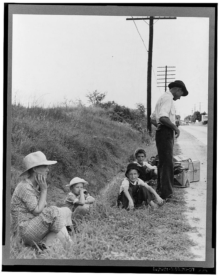
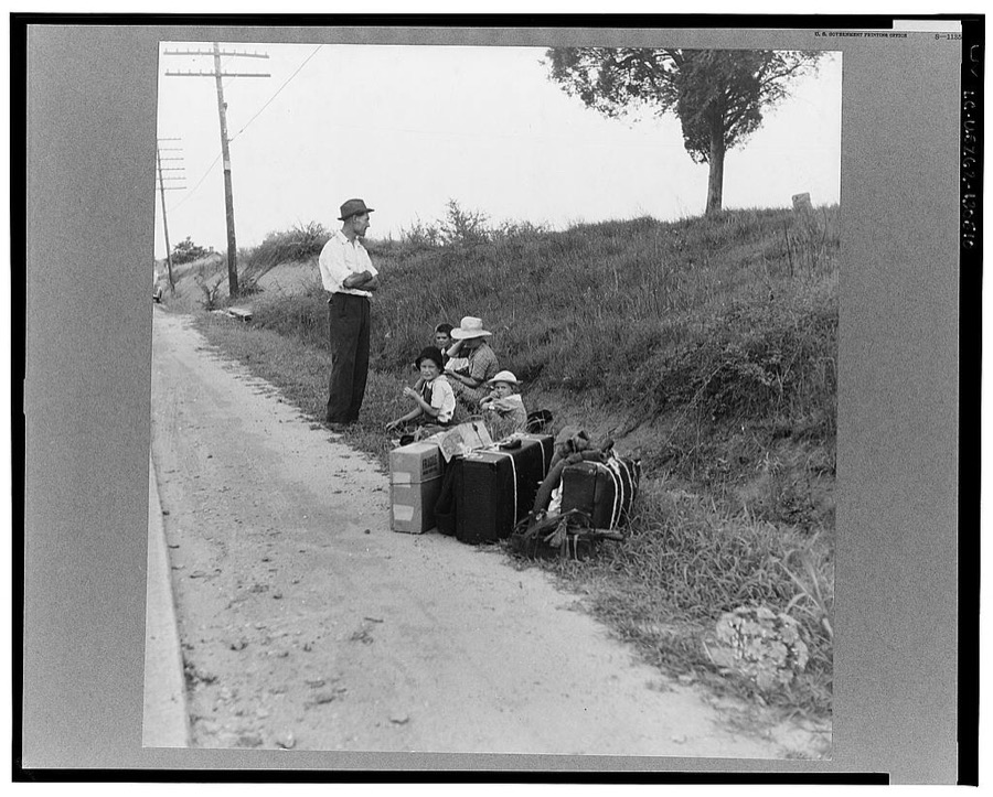
A hitchhiking family waiting along the highway in Macon, Georgia. The father repairs sewing machines, lawn mowers, etc. He is leaving Macon, where a license is required for such work (twenty-five dollars) and heading back for Alabama
Lange, Dorothea, photographer, 1937. Library of Congress
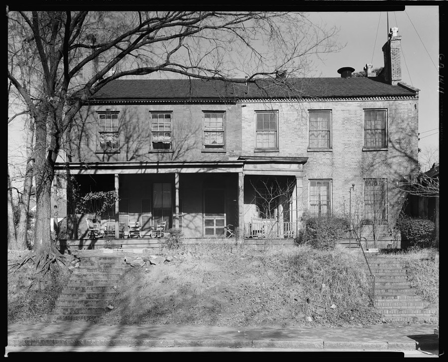
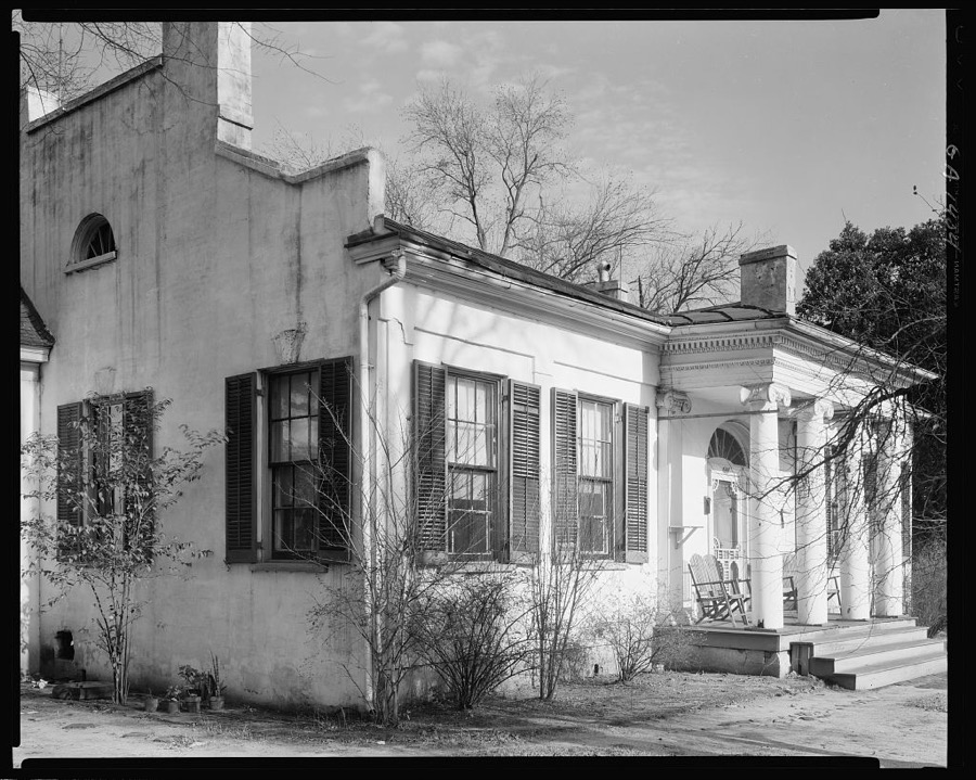
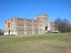
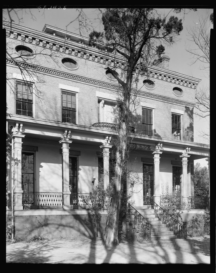
St. Josephs School, Macon, Bibb County, Georgia
Johnston, Frances Benjamin, 1939. Library of Congress
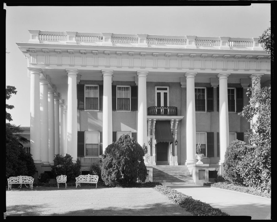
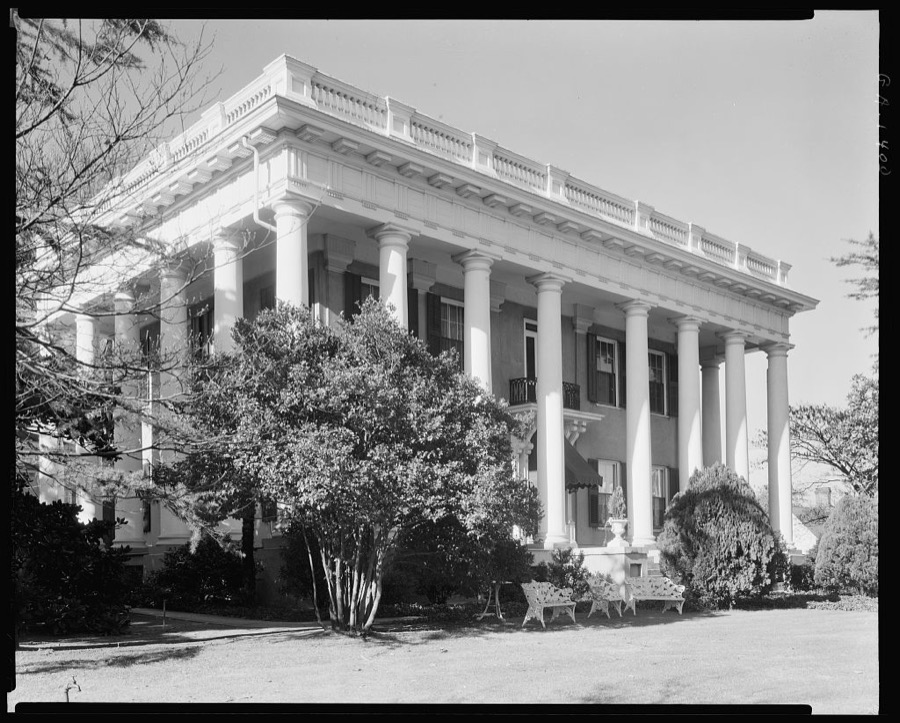
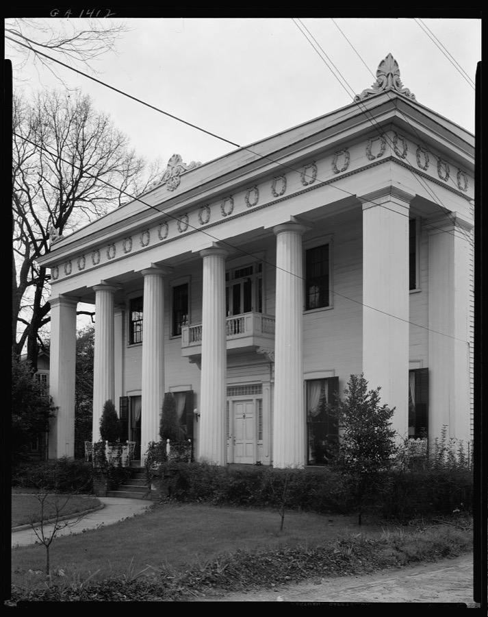
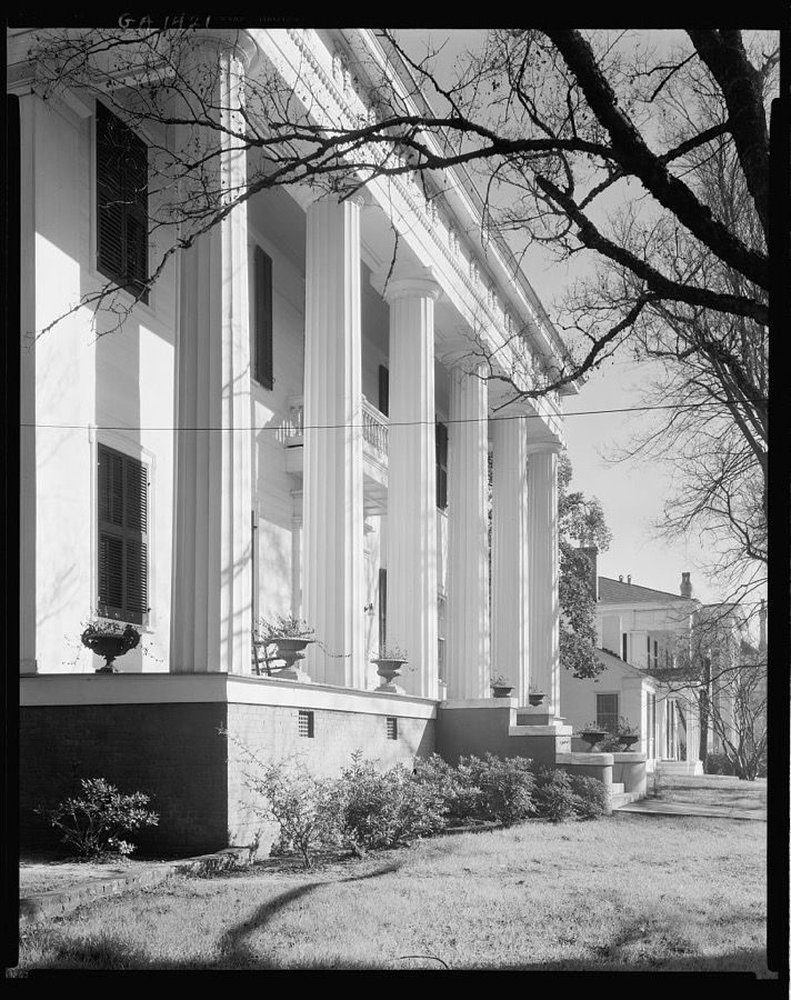
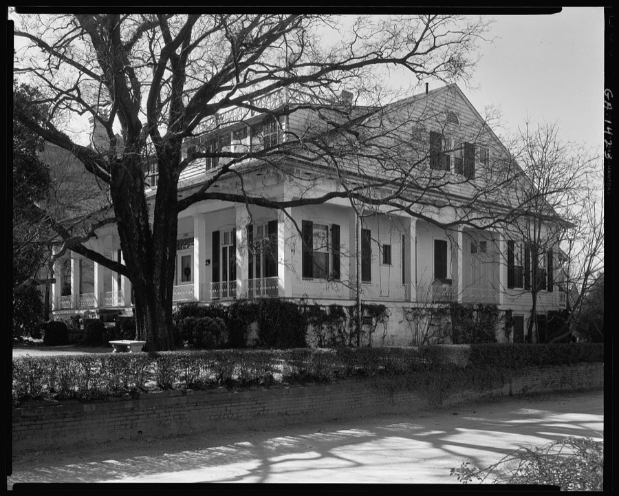
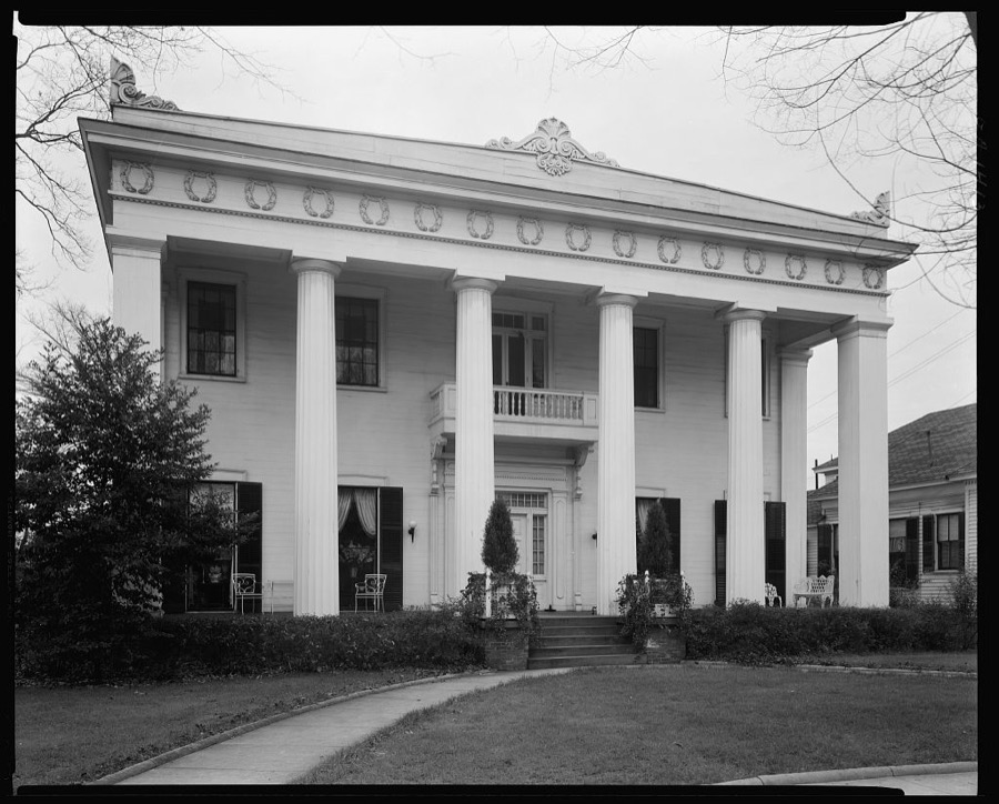
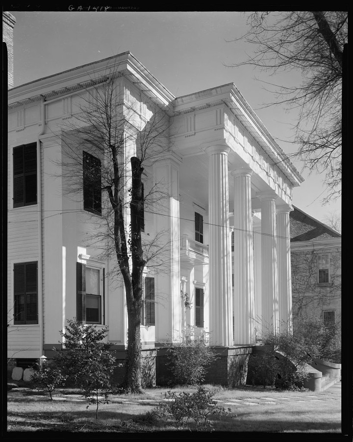
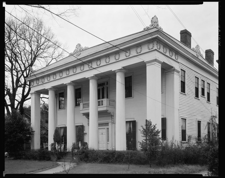
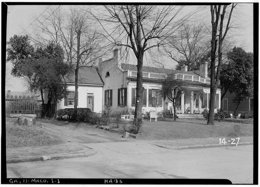
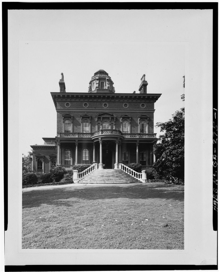
Cowles-Coleman-O'Neal House, Macon, Bibb County, Georgia
Johnston, Frances Benjamin, 1939. Library of Congress
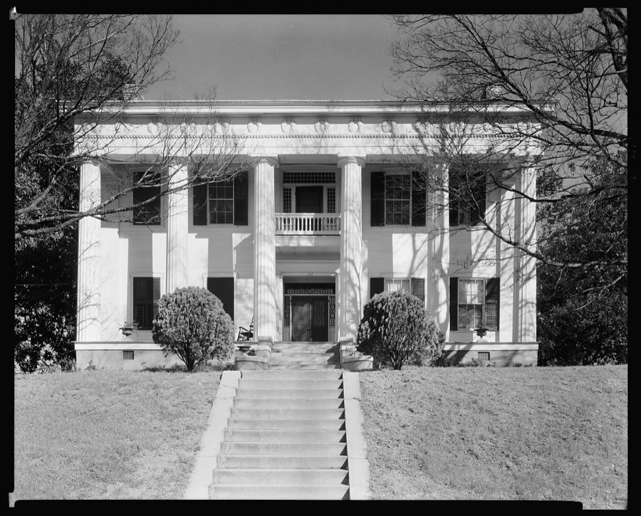
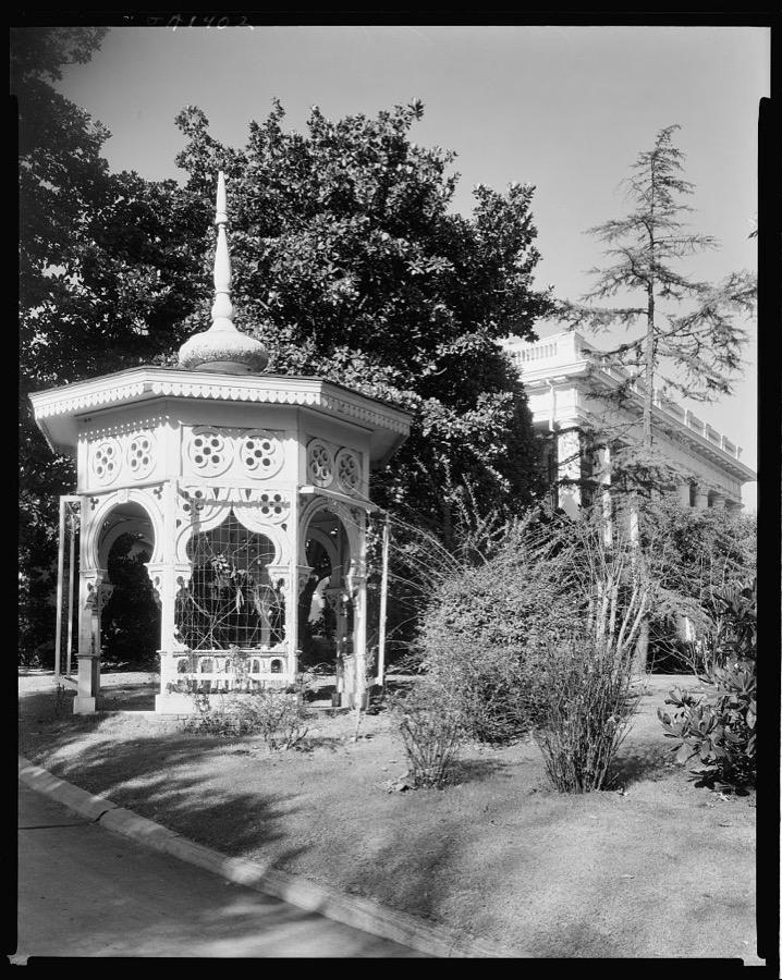
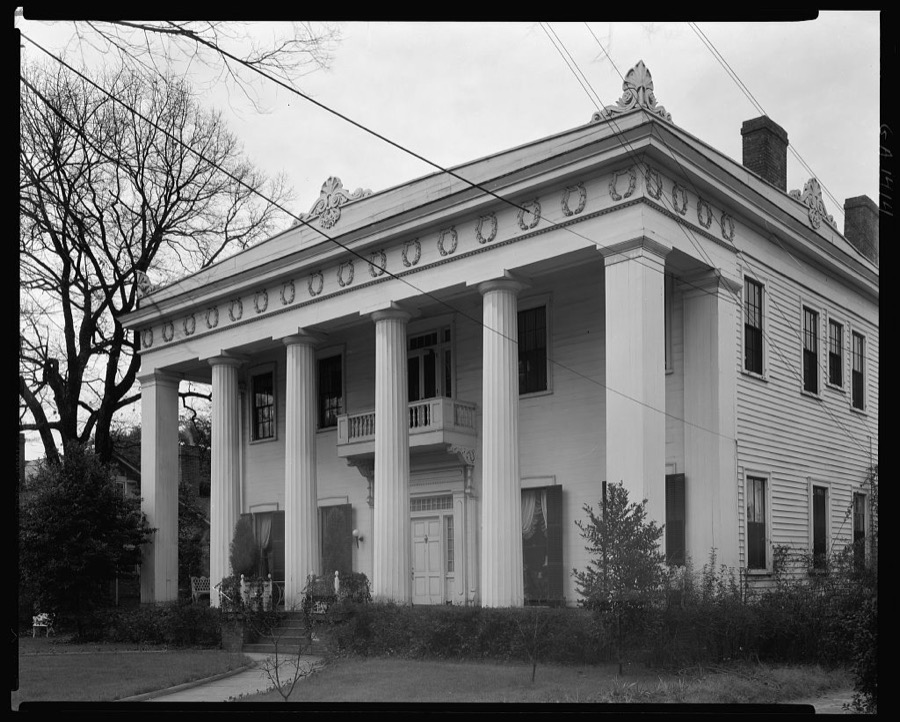
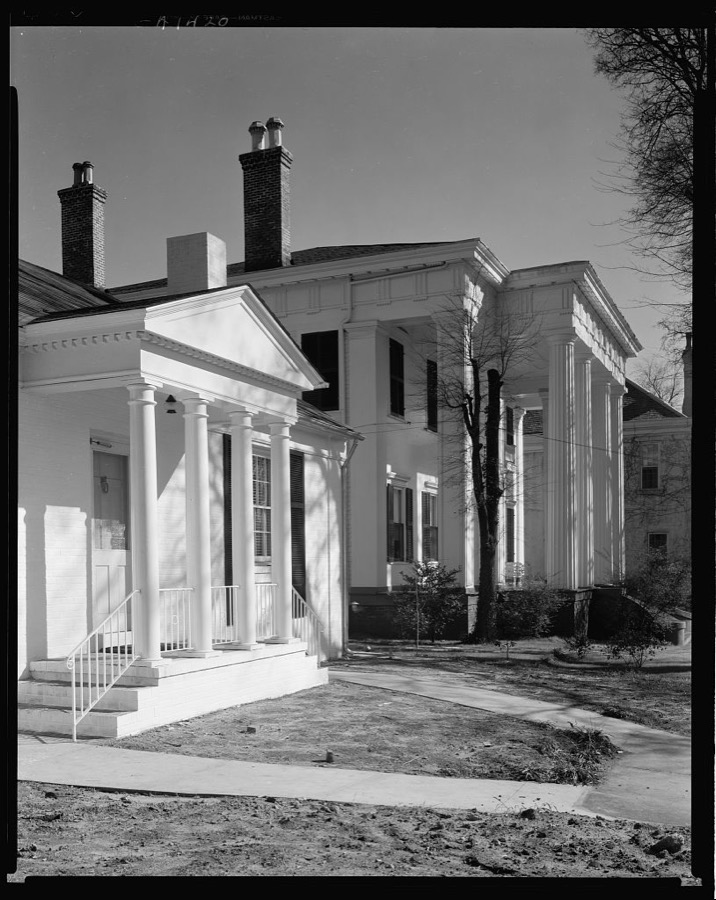
Poe House, Macon, Bibb County, Georgia
Johnston, Frances Benjamin, 1939. Library of Congress
Cowles-Coleman-O'Neal House, Macon, Bibb County, Georgia
Johnston, Frances Benjamin, 1939. Library of Congress
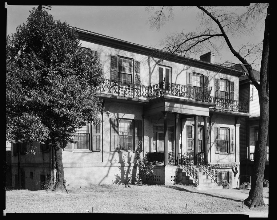
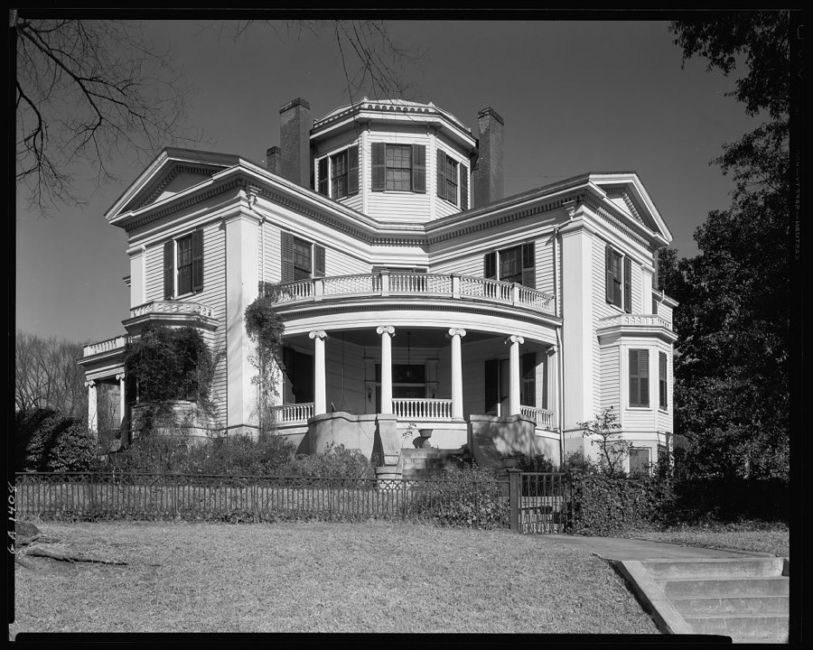
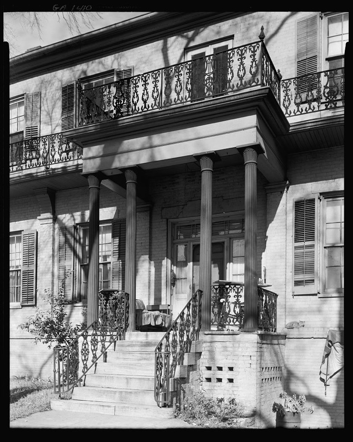
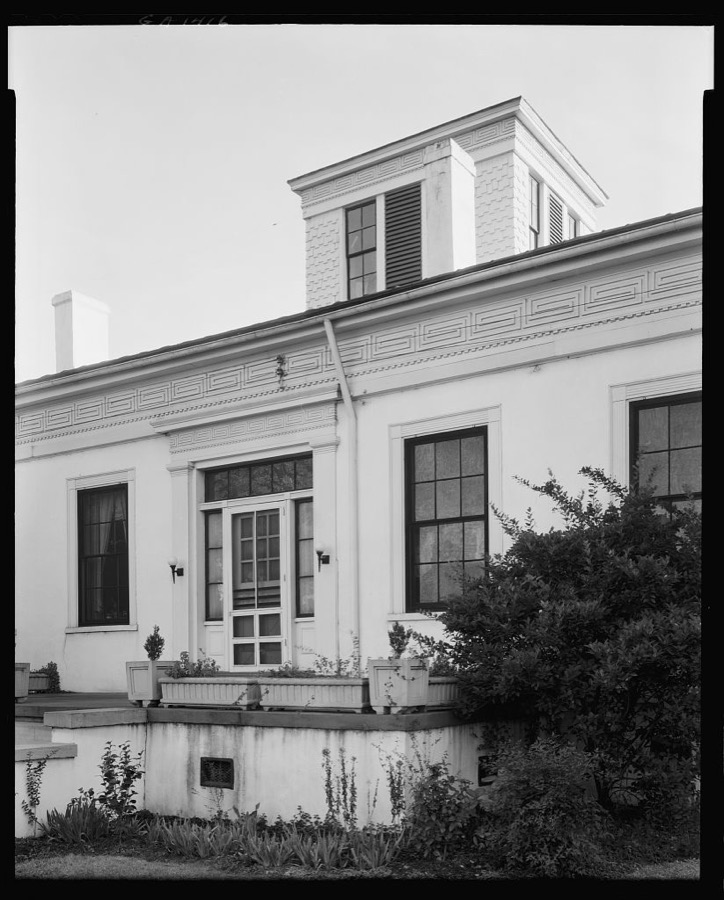
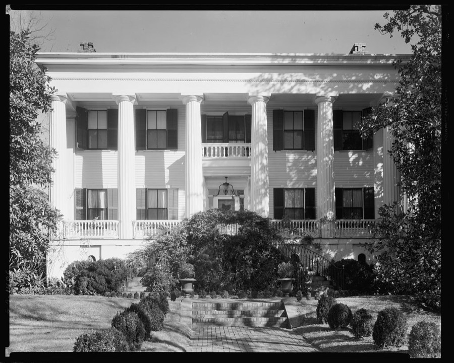
Hugenin-Proudfit-Birdsey House, Macon, Bibb County, Georgia
Johnston, Frances Benjamin, 1939. Library of Congress
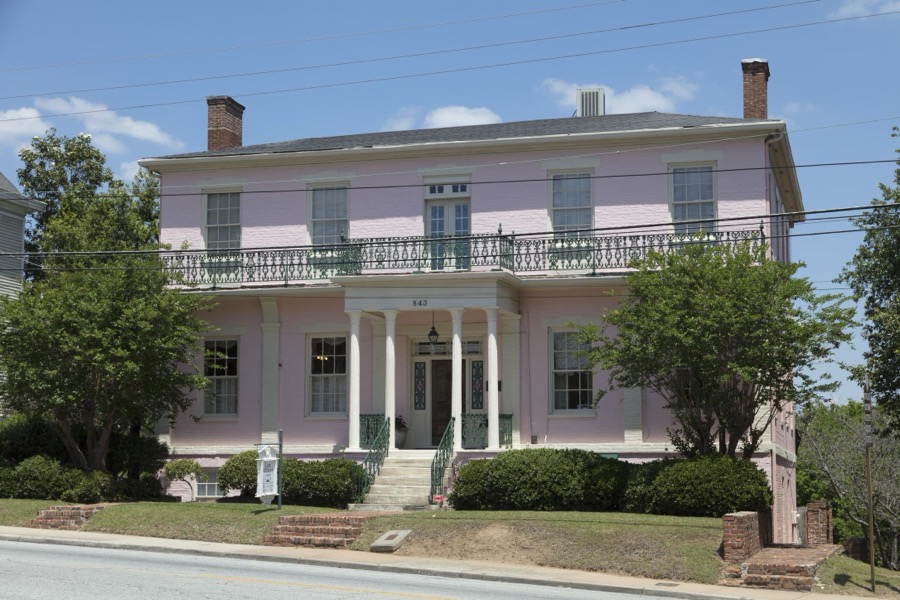
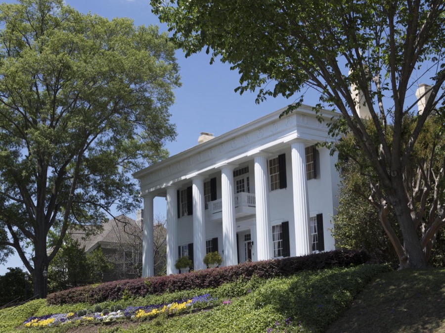
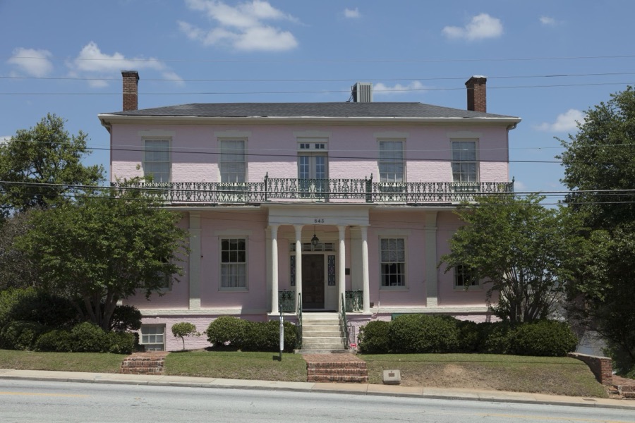
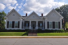
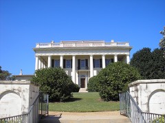
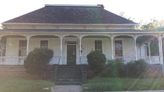
The historic Green-Poe House in Macon, Georgia, was built by physician James Mercer Green, who ran Macon's Academy for the Blind, in 1840
Highsmith, Carol M, 2017. Library of Congress
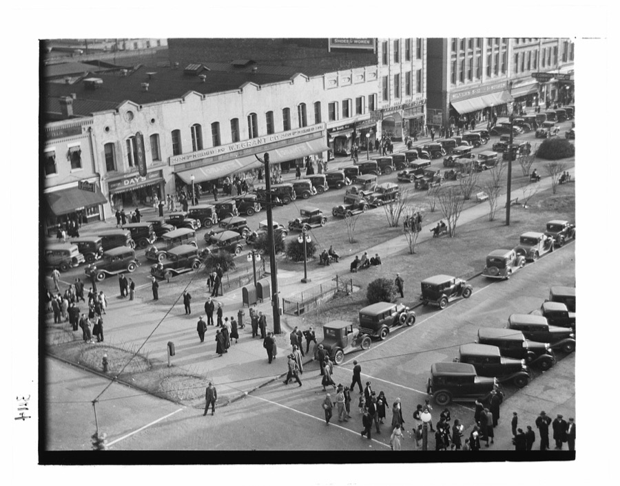
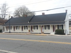
Main street. Macon, Georgia
Evans, Walker, 1936. Library of Congress
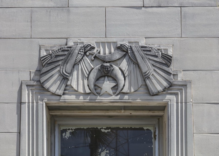
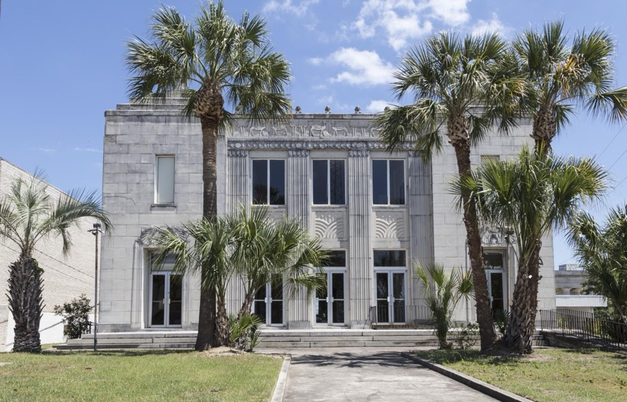
Detail of the vacant, Egyptian-motif Al-Sihah Shrine Temple in Macon, Georgia
Highsmith, Carol M, 2017. Library of Congress
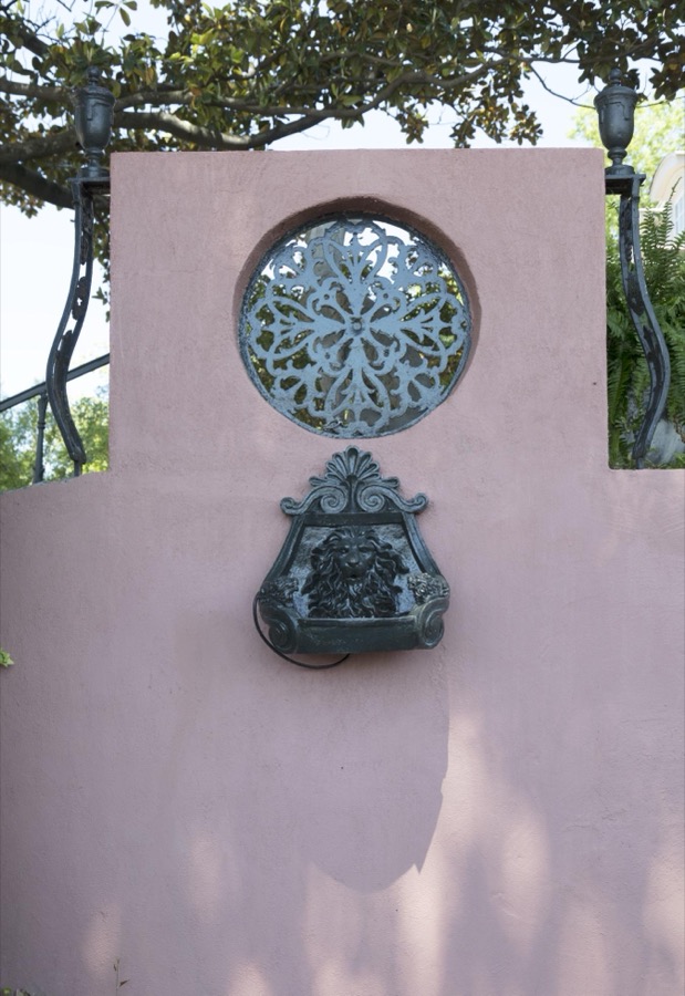
Ornate property-wall detail in Macon, Georgia
Highsmith, Carol M, 2017. Library of Congress
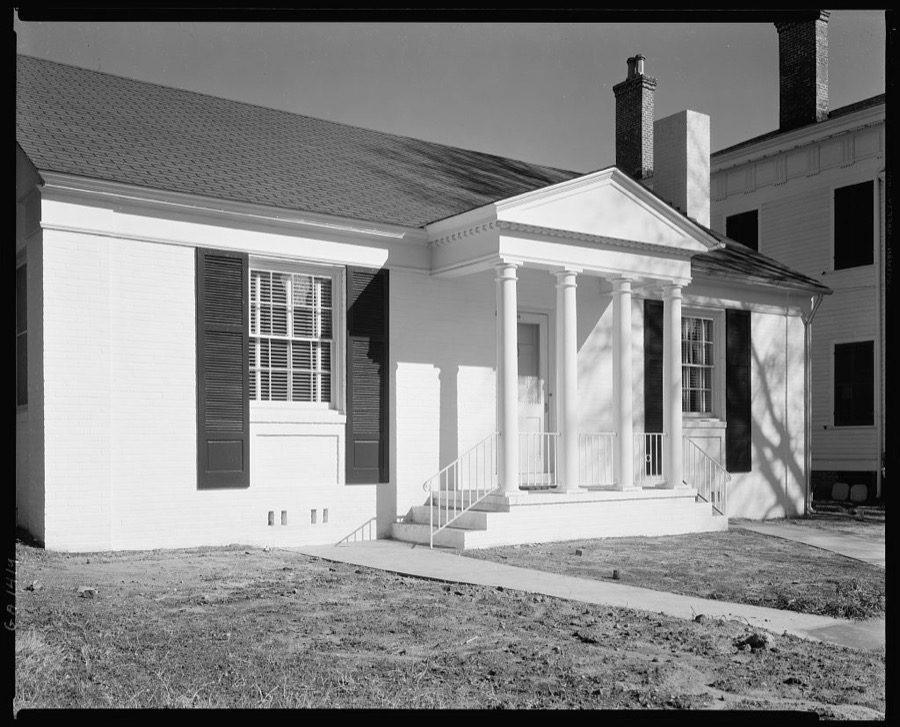
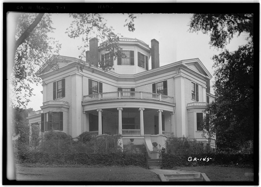
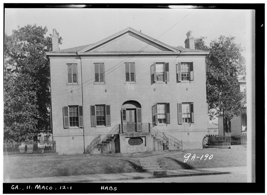
Ralph Small House, 115 Rogers Ave., Macon, Bibb County, Georgia
Johnston, Frances Benjamin, 1939. Library of Congress
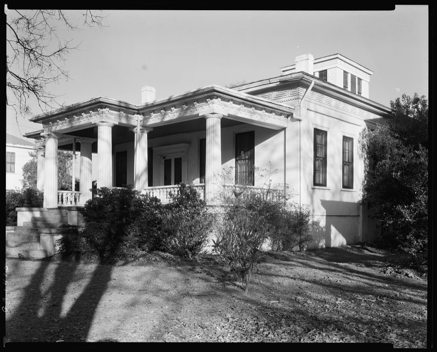
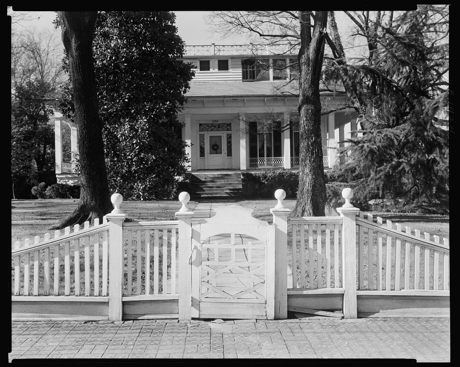
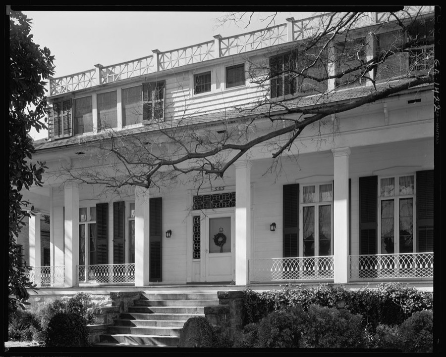
House, Macon, Bibb County, Georgia
Johnston, Frances Benjamin, 1939. Library of Congress
The vacant, Egyptian-motif Al-Sihah Shrine Temple in Macon, Georgia
Highsmith, Carol M, 2017. Library of Congress
Cowles-Coleman-O'Neal House, Macon, Bibb County, Georgia
Johnston, Frances Benjamin, 1939. Library of Congress
Slade House, Macon, Bibb County, Georgia
Johnston, Frances Benjamin, 1939. Library of Congress
Hugenin-Proudfit-Birdsey House, Macon, Bibb County, Georgia
Johnston, Frances Benjamin, 1939. Library of Congress
Raines-Miller-Carmichael House, Macon, Bibb County, Georgia
Johnston, Frances Benjamin, 1939. Library of Congress
Ralph Small House, 115 Rogers Ave., Macon, Bibb County, Georgia
Johnston, Frances Benjamin, 1939. Library of Congress
House, Macon, Bibb County, Georgia
Johnston, Frances Benjamin, 1939. Library of Congress
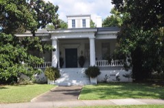
Stately home in Macon, Georgia
Highsmith, Carol M, 2017. Library of Congress
House, Macon, Bibb County, Georgia
Johnston, Frances Benjamin, 1939. Library of Congress
Poe House, Macon, Bibb County, Georgia
Johnston, Frances Benjamin, 1939. Library of Congress
Ralph Small House, 115 Rogers Ave., Macon, Bibb County, Georgia
Johnston, Frances Benjamin, 1939. Library of Congress
House, Macon, Bibb County, Georgia
Johnston, Frances Benjamin, 1939. Library of Congress
Randolph House, Macon, Bibb County, Georgia
Johnston, Frances Benjamin, 1939. Library of Congress
The historic Green-Poe House in Macon, Georgia, was built by physician James Mercer Green, who ran Macon's Academy for the Blind, in 1840
Highsmith, Carol M, 2017. Library of Congress
Randolph House, Macon, Bibb County, Georgia
Johnston, Frances Benjamin, 1939. Library of Congress
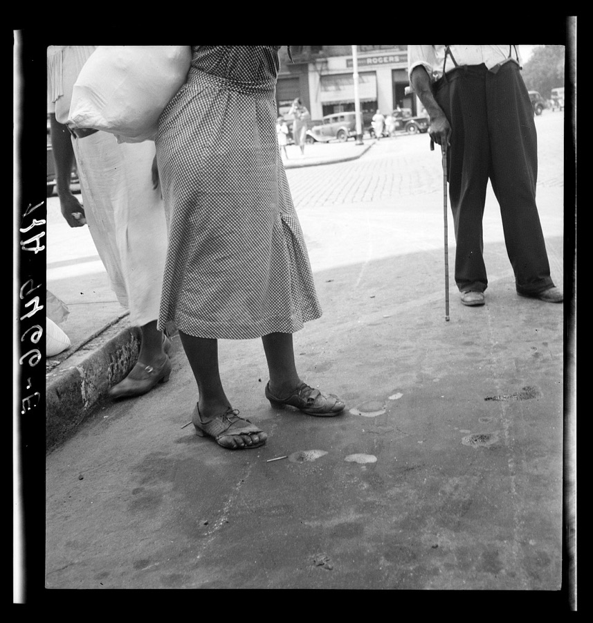
Street scene. Macon, Georgia
Lange, Dorothea, photographer, 1936. Library of Congress
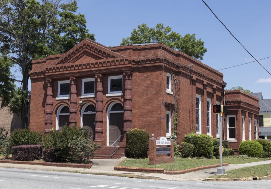
The Islamic Center in Macon, Georgia
Highsmith, Carol M, 2017. Library of Congress
House, Macon, Bibb County, Georgia
Johnston, Frances Benjamin, 1939. Library of Congress
Randolph House, Macon, Bibb County, Georgia
Johnston, Frances Benjamin, 1939. Library of Congress
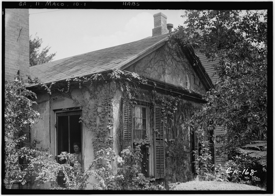
Jerry Cowles House, 519 Walnut Street, Macon, Bibb County, Georgia
Johnston, Frances Benjamin, 1939. Library of Congress
Street scene. Macon, Georgia
Lange, Dorothea, photographer, 1936. Library of Congress
Randolph House, Macon, Bibb County, Georgia
Johnston, Frances Benjamin, 1939. Library of Congress
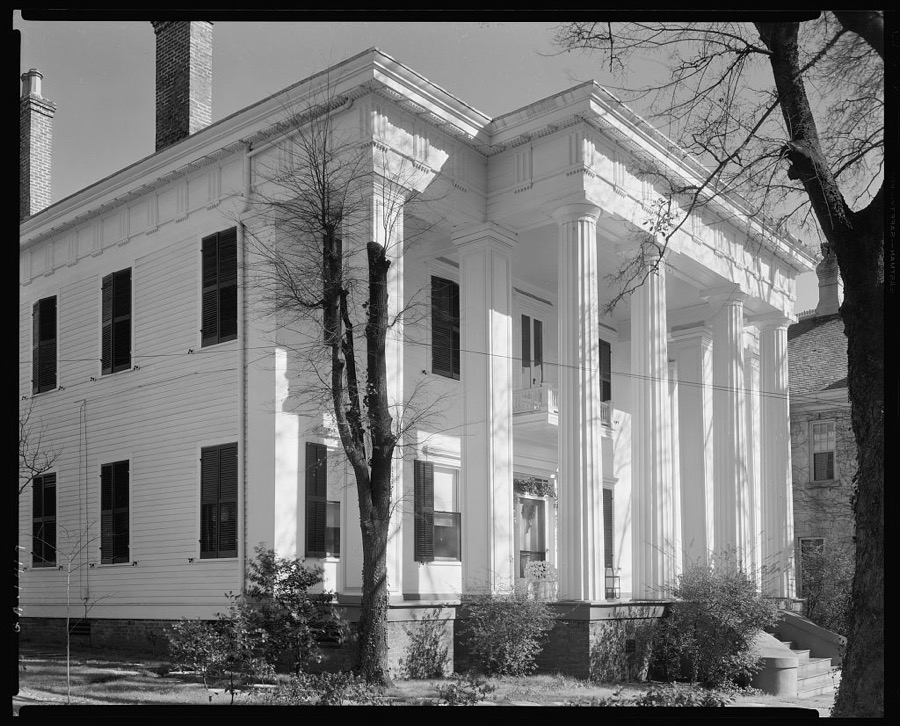
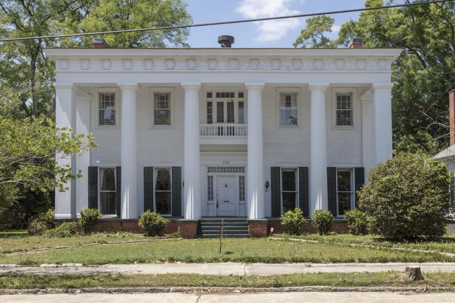
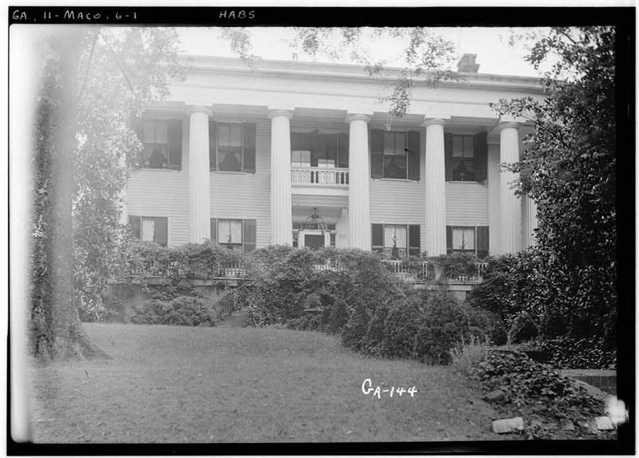
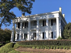
The Small House in Macon, Georgia, also known as Ralph Small House or Napier-Small House, is an example of high-style Greek Revival architecture that was built in 1846 by Skelton Napier
Highsmith, Carol M, 2017. Library of Congress
Jerry Cowles House, 519 Walnut Street, Macon, Bibb County, Georgia
Johnston, Frances Benjamin, 1939. Library of Congress
Ralph Small House, 115 Rogers Ave., Macon, Bibb County, Georgia
Johnston, Frances Benjamin, 1939. Library of Congress
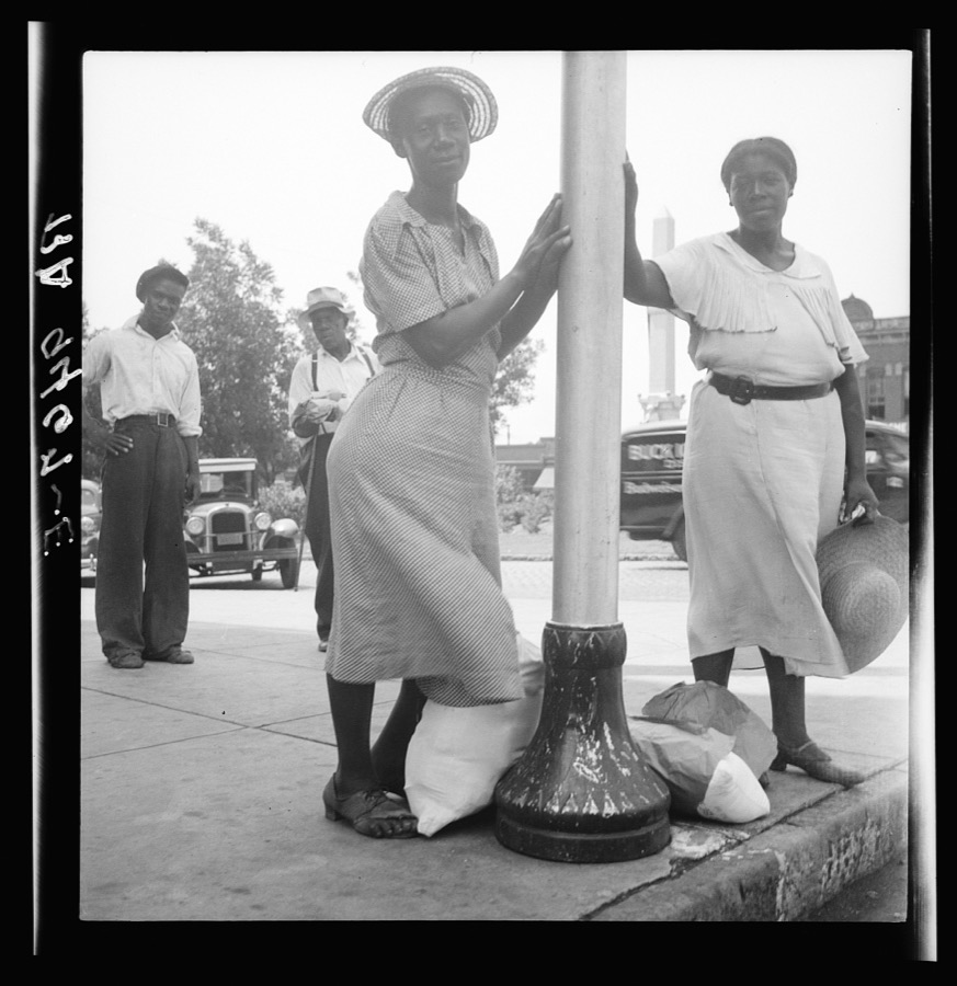
A hitchhiking family waiting along the highway in Macon, Georgia. The father repairs sewing machines, lawn mowers, etc. He is leaving Macon, where a license is required for such work (twenty-five dollars) and heading back for Alabama
Lange, Dorothea, photographer, 1937. Library of Congress
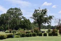
Washington Park in Macon, Georgia
Highsmith, Carol M, 2017. Library of Congress
Thaddeus Goode Holt Peeler House, Macon, Bibb County, Georgia
Johnston, Frances Benjamin, 1939. Library of Congress
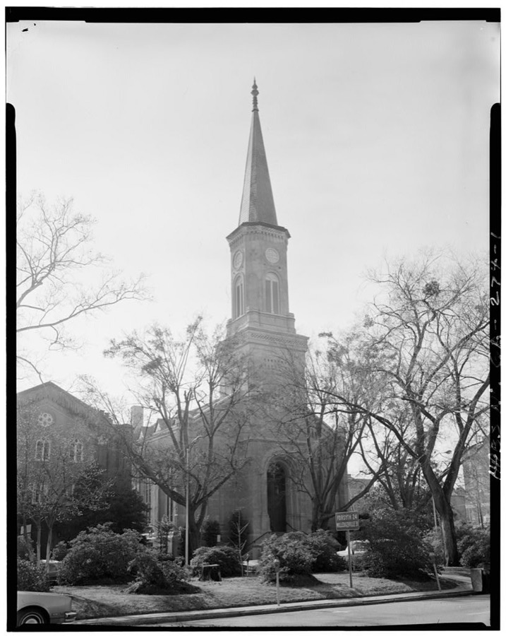
First Presbyterian Church, 682-690 Mulberry Street, Macon, Bibb County, GA
Photographer not recorded. Library of Congress
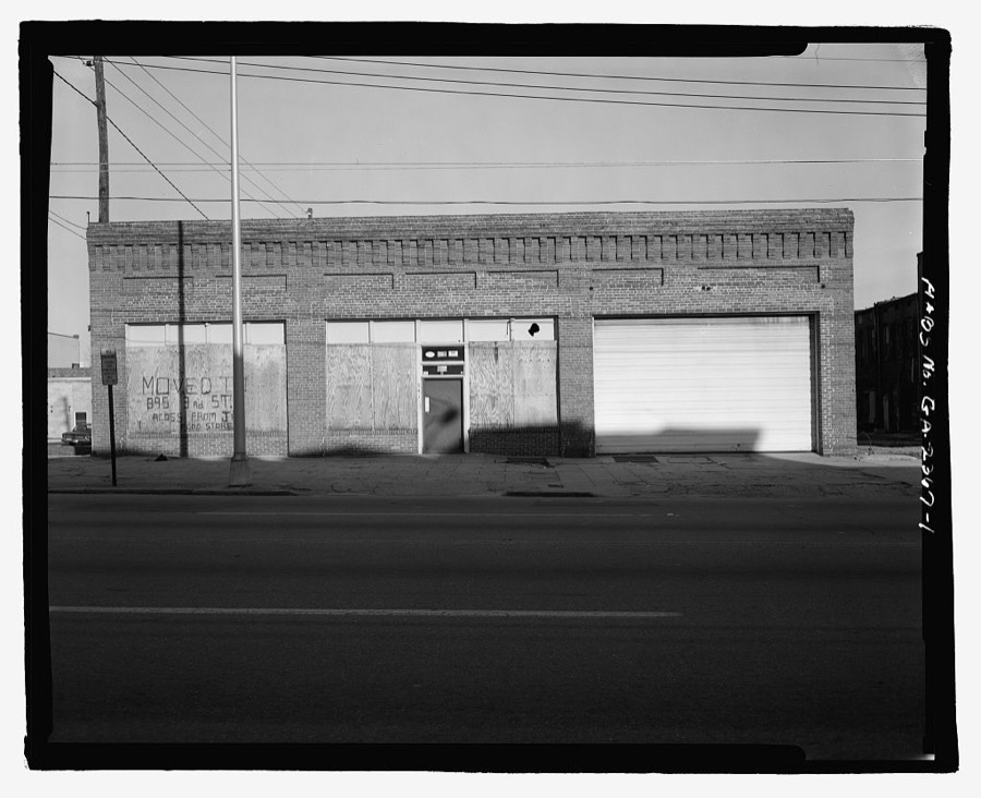
Bumper Distributors Building, 543 Broadway Lane, Macon, Bibb County, GA
Photographer not recorded. Library of Congress
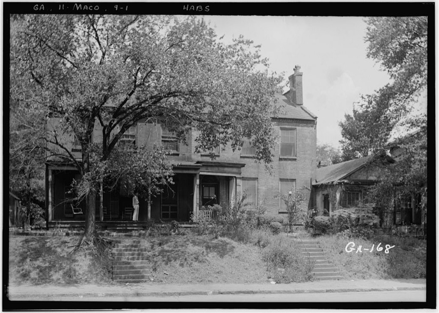
Slade Houses, 453 Walnut Street, Macon, Bibb County, GA
Photographer not recorded. Library of Congress
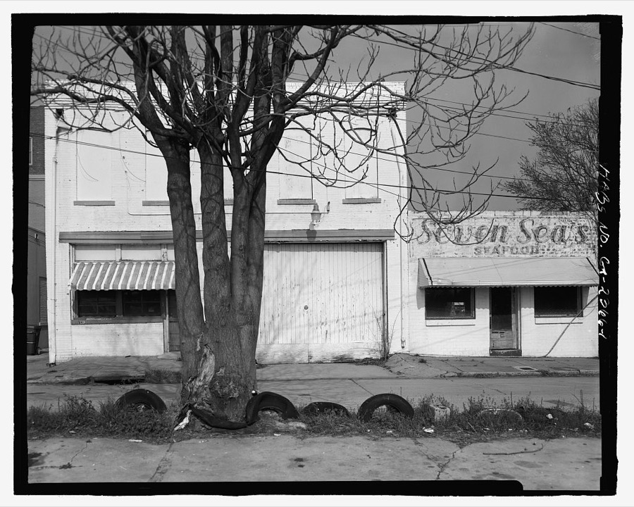
Frank E. Block Company, 281 Broadway Lane, Macon, Bibb County, GA
Photographer not recorded. Library of Congress
Jerry Cowles House, 4596 Rivoli Drive (moved from 519 Walnut Street), Macon, Bibb County, GA
Photographer not recorded. Library of Congress
Old State Bank, 453 Walnut Street, Macon, Bibb County, GA
Photographer not recorded. Library of Congress
Cadwalader Raines House, Macon, Bibb County, GA
Photographer not recorded. Library of Congress
Holt-Peeler House, Macon, Bibb County, GA
Photographer not recorded. Library of Congress
Baber House, Walnut Street, Macon, Bibb County, GA
Photographer not recorded. Library of Congress
Johnston-Hay House, 934 Georgia Avenue, Macon, Bibb County, GA
Photographer not recorded. Library of Congress

Places on the National Register

79

Every property in this county listed on the National Register of Historic Places, with the year it was listed and the federal nomination document.

Photograph PropertyType ListedReference
Capt. R. J. Anderson Housebuilding197171000246
Judge Clifford Anderson Housebuilding197171000247
Ambrose Baber Housebuilding197373000608
Charles L. Bowden Golf Coursesite201515000024
Thomas C. Burke Housebuilding197171000248
Candler Library Buildingbuilding200404000242
Cannonball Housebuilding197171000249
Central City Park Bandstandstructure197272000361
Cherokee Brick and Tile Companydistrict200202000338
Cherokee Heights Districtdistrict198282002385
Christ Episcopal Churchbuilding197171000250
Collins-Odom-Strickland Housebuilding197979000698
Cowles Housebuilding197171000251
Jerry Cowles Cottagebuilding197171000252
Dasher-Stevens Housebuilding197272000362
Davis-Guttenberger-Rankin Housebuilding197373000609
Domingos Housebuilding197171000253
East Macon Historic Districtdistrict199393000281
Emerson-Holmes Buildingbuilding197171000254
Robert Findlay Housebuilding197272000363
First Presbyterian Churchbuilding197272000364
Fort Hill Historic Districtdistrict199393000313
Georgia Industrial Homedistrict2019100004743
Goodall Housebuilding197171000255
Grand Opera Housebuilding197070000196
Green-Poe Housebuilding197171000256
Hatcher-Groover-Schwartz Housebuilding197171000257
Hightower Hall Dormitorybuilding200404000242
Walter R. Holt Housebuilding200505000076
Holt-Peeler-Snow Housebuilding197171000258
Ingleside Historic Districtdistrict201616000231
Johnston-Hay Housebuilding197171000259
Sidney Lanier Cottagebuilding197272000365
Lassiter Housebuilding197272000366
Ellamae Ellis League Housebuilding200505000053
Joseph and Mary Jane League Housebuilding200908001280
W. G. Lee Alumni Housebuilding197171000260
William and Jane Levitt Housebuilding201615000996
Lustron House at 3498 McKenzie Drivebuilding199696000216
Macon Historic District (Boundary Increase)district199595000233
Macon Railroad Industrial Districtdistrict198787000977
Macon Railway and Light Company Substationbuilding200606000986
DeWitt McCrary Housebuilding197474000659
Mechanics Engine House No. 4building199090001434
Mercer University Administration Buildingbuilding197171000261
Mercer University, Hardman Hallbuilding197474000658
Militia Headquarters Buildingbuilding197272000367
A.L. Miller High School and A.L. Miller Junior High Schoolbuilding201414000928
Monroe Street Apartmentsbuilding197272000368
Municipal Auditoriumbuilding197171000262
Munroe-Dunlap-Snow Housebuilding197171000263
Munroe-Goolsby Housebuilding197272000369
Napier Heights Historic Districtdistrict2020100005424
Leroy Napier Housebuilding197171000264
North Highlands Historic Districtdistrict199393000297
Ocmulgee National Monumentdistrict196666000099
Old Macon Librarybuilding197373000610
Old U.S. Post Office and Federal Buildingbuilding197272000370
Olive Swann Porter Buildingbuilding200404000242
Pleasant Hill Historic Districtdistrict198686001130
James and Olive Porter Housebuilding2019100003381
Railroad Overpass at Ocmulgeestructure197979000699
Raines-Carmichael Housebuilding197171000265
Randolph-Whittle Housebuilding197272000371
Riverside Cemeterysite198383000183
Rock Rogers Housebuilding197272000372
Rose Hill Cemeterystructure197373000611
Shirley Hills Historic Districtdistrict198989001093
Shirley Hills Historic District (Boundary Increase and Additional Documentation)district201414000269
Slate Housebuilding197474000660
Small Housebuilding197171000266
Solomon-Curd Housebuilding197171000267
Solomon-Smith-Martin Housebuilding197171000268
St. Joseph's Catholic Churchbuilding197171000269
Tindall Heights Historic Districtdistrict199393000587
Villa Albicinibuilding197474000661
Vineville Historic Districtdistrict198080000974
Luther Williams Fieldbuilding200404000627
Willingham-Hill-O'Neal Cottagebuilding197171000270

Digitised newspapers

1 issue

Sampled issues, machine-read from the Library of Congress scan and published page by page, so every headline and column is searchable text.

The Macon Sentinel

Macon, Ga., 1899 to 19??. Machine-read from the Library of Congress scan.

Bird's-eye views and land ownership maps

2

Drawn when these were printed as single large sheets: the town seen from the air, and the county divided into its farms with every owner named. Each opens the original at the Library of Congress.

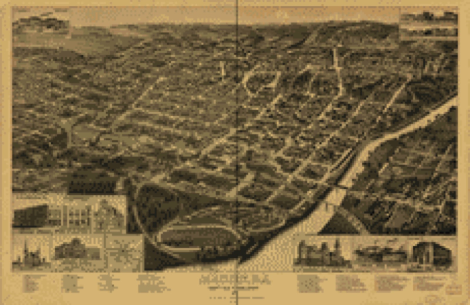
Bird's-eye view, 1887 - Macon, Ga. county seat of Bibb County 1887
Bird's-eye view (1887) - Macon, Ga. county seat of Bibb County 1887. Library of Congress.
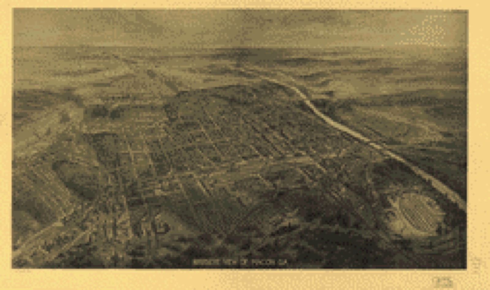
Bird's-eye view, 1912 - Bird's eye view of Macon, Ga
Bird's-eye view (1912) - Bird's eye view of Macon, Ga. Library of Congress.

Photographs from libraries nationwide

20 of 117 shown

Selected from the Digital Public Library of America's 117 image records catalogued for this county. Every one shown here carries a public-domain status or a licence that permits reuse on a site that carries advertising; non-commercial, share-alike and restricted images are excluded. The selection is spread across the county's towns (at most eight per town), so no single institution's bulk upload crowds out the rest. Each opens the holding library's record, and the complete set at the Digital Public Library of America is one click away.

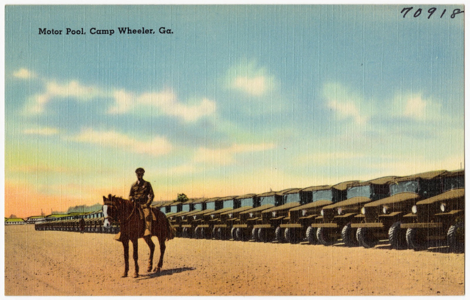
Motor pool, Camp Wheeler, Ga., Boston Public Library - undated
Motor pool, Camp Wheeler, Ga.. Boston Public Library, via the Digital Public Library of America.
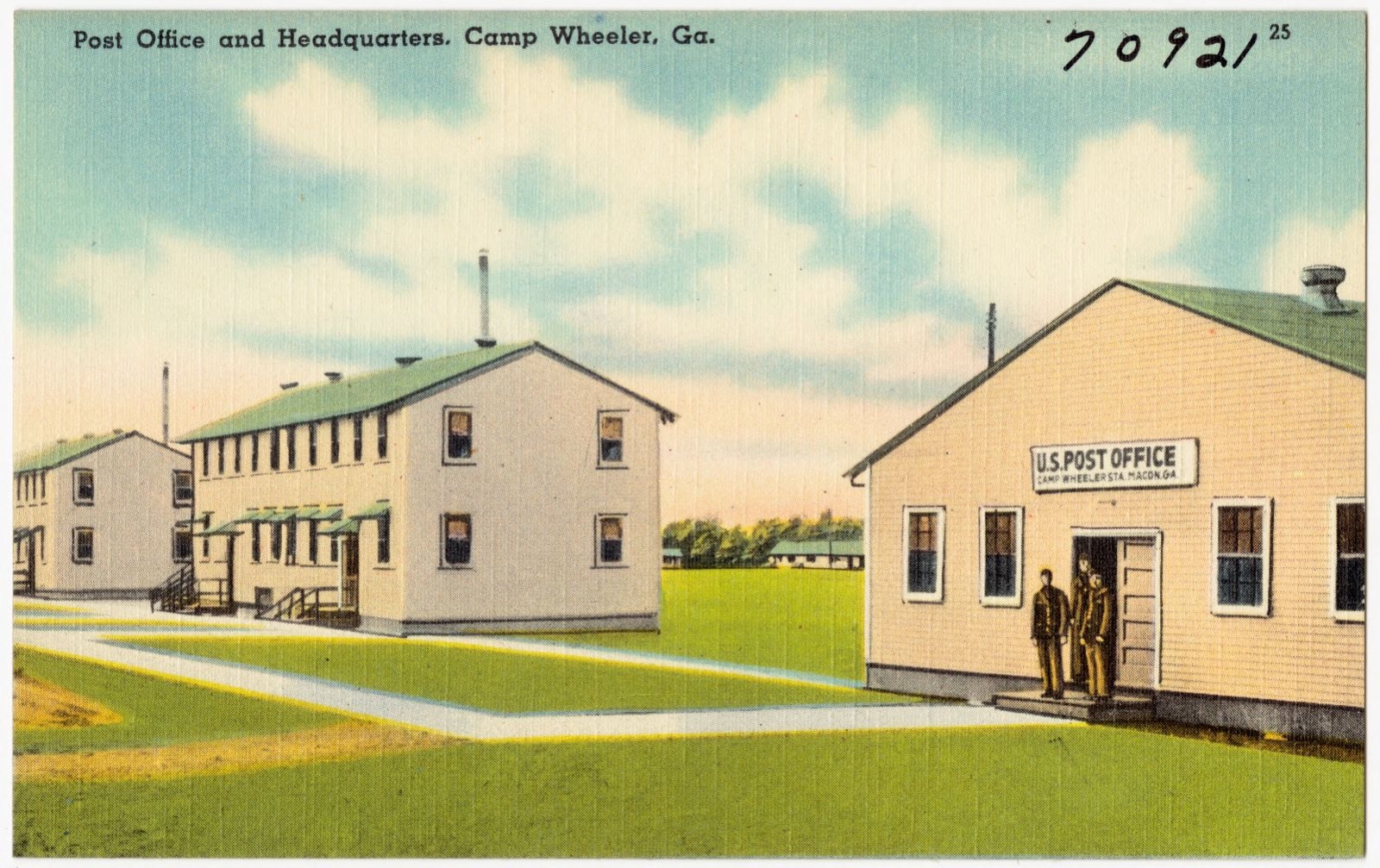
Post Office and headquarters, Camp Wheeler, Ga., Boston Public Library - undated
Post Office and headquarters, Camp Wheeler, Ga.. Boston Public Library, via the Digital Public Library of America.
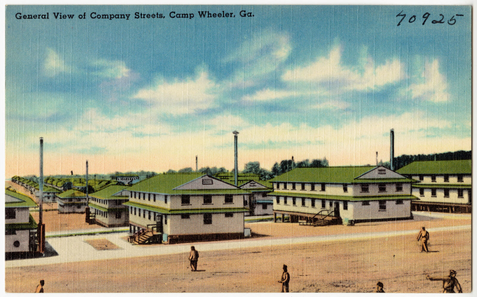
General view of company streets, Camp Wheeler, Ga., Boston Public Library - undated
General view of company streets, Camp Wheeler, Ga.. Boston Public Library, via the Digital Public Library of America.
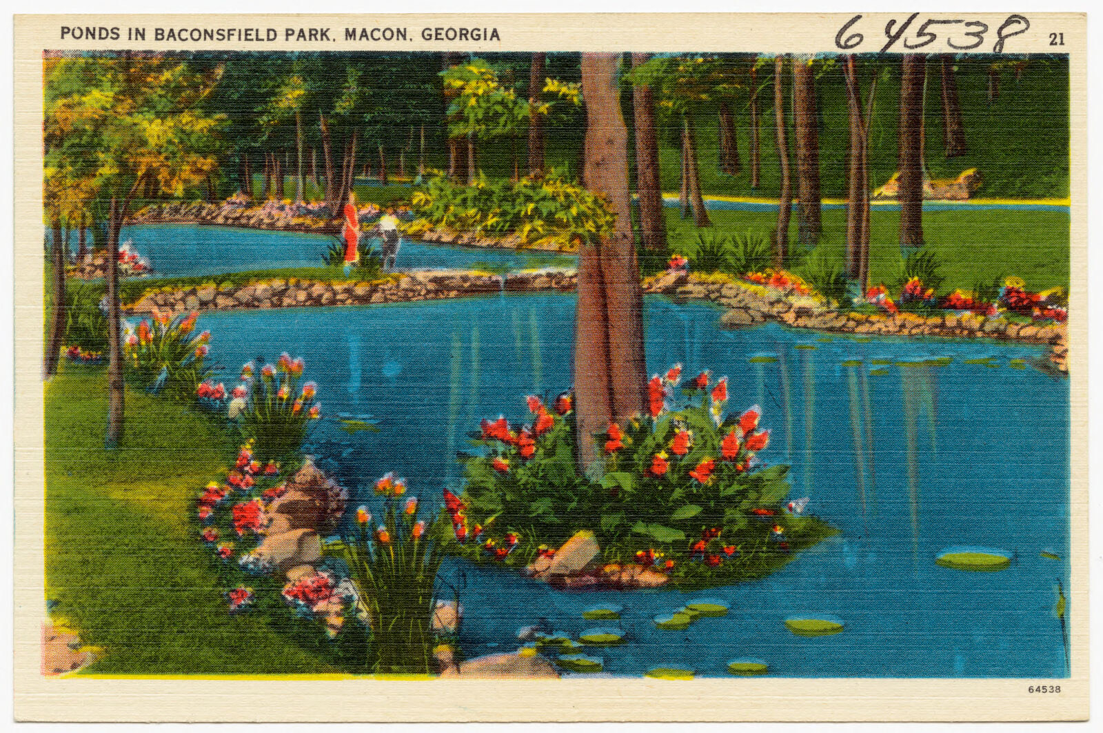
Ponds in Baconsfield Park, Macon, Georgia, Boston Public Library - undated
Ponds in Baconsfield Park, Macon, Georgia. Boston Public Library, via the Digital Public Library of America.
Voiture Locale 1145, La Societe des 40 Hommes et 8 Chevaux, Macon, Ga., Boston Public Library - undated
Voiture Locale 1145, La Societe des 40 Hommes et 8 Chevaux, Macon, Ga.. Boston Public Library, via the Digital Public Library of America.
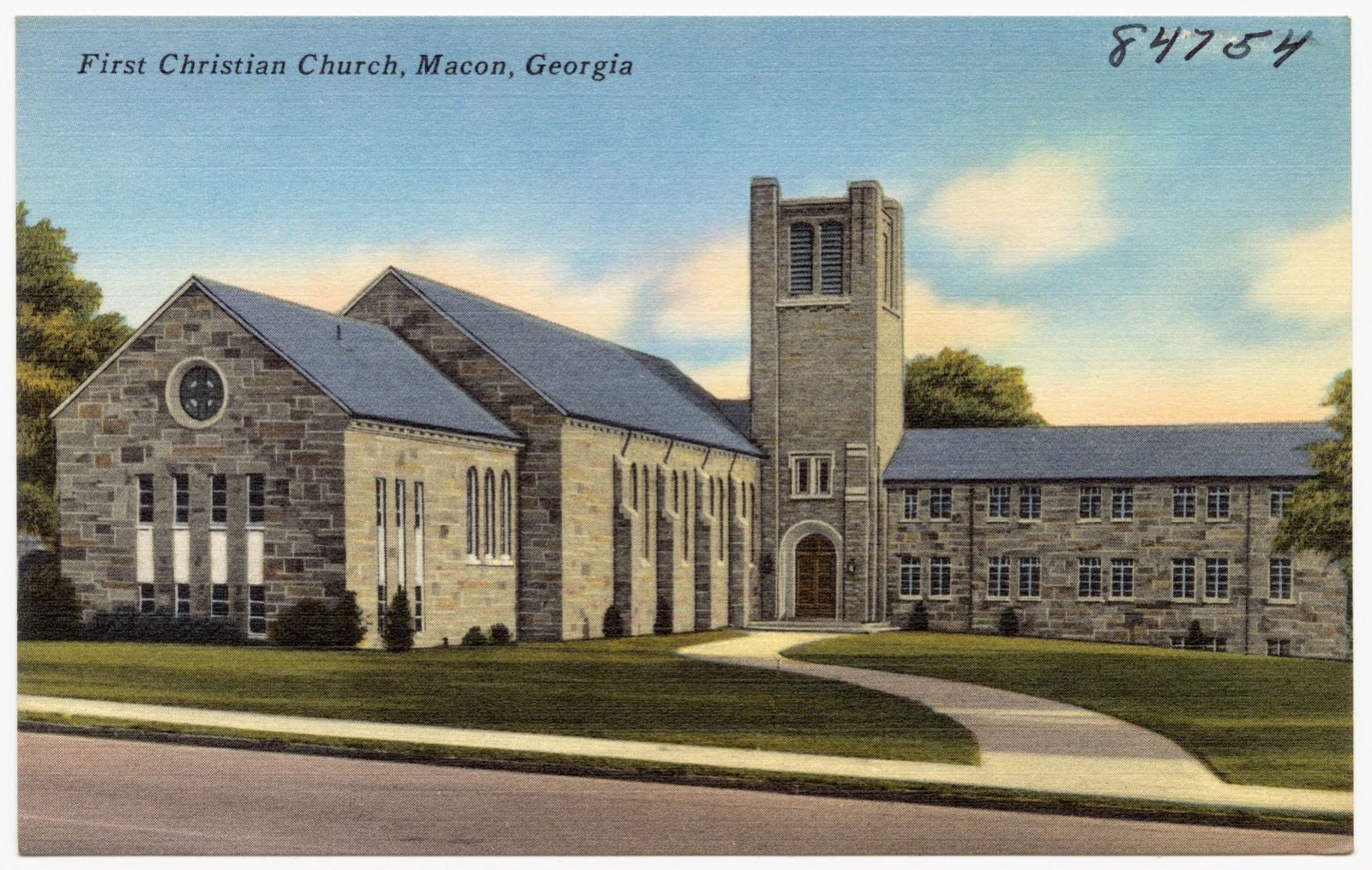
First Christian Church, Macon, Georgia, Boston Public Library - undated
First Christian Church, Macon, Georgia. Boston Public Library, via the Digital Public Library of America.
Beautiful Lakeside Park, Macon, Ga., Boston Public Library - undated
Beautiful Lakeside Park, Macon, Ga.. Boston Public Library, via the Digital Public Library of America.
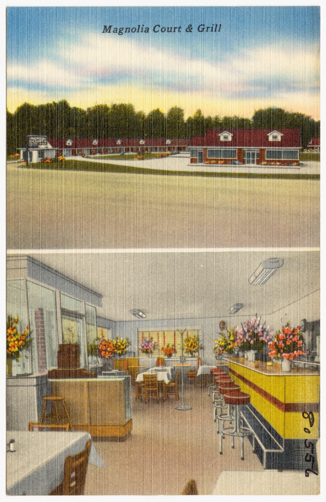
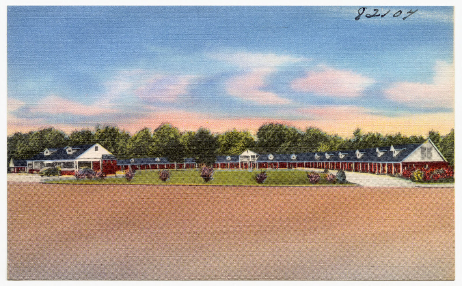
Magnolia Court & Grill, 41 rooms on U. S. Highway 41, 5 miles south of Macon, Ga., Boston Public Library - undated
Magnolia Court & Grill, 41 rooms on U. S. Highway 41, 5 miles south of Macon, Ga.. Boston Public Library, via the Digital Public Library of America.
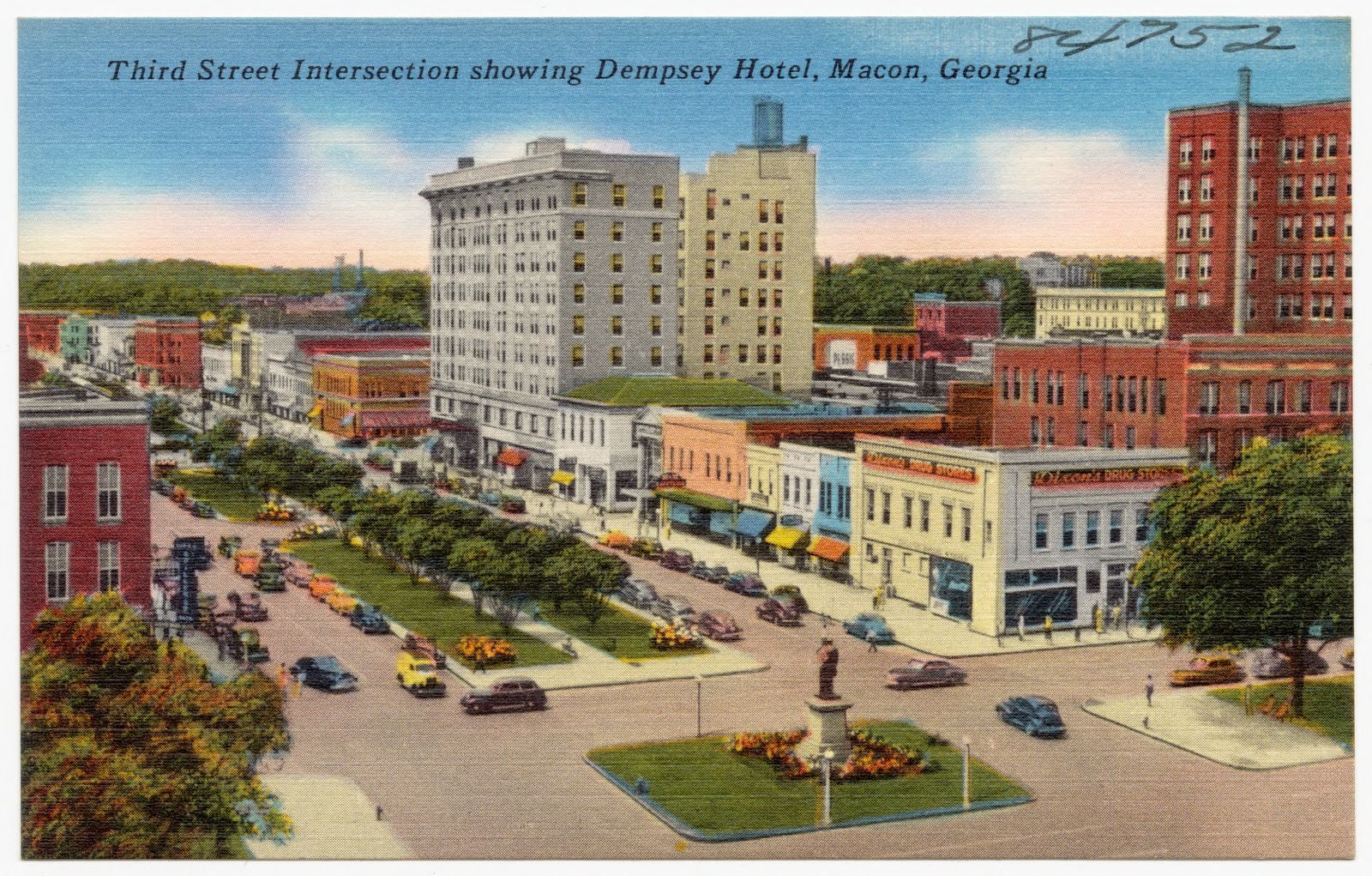
Third Street intersection, showing Dempsey Hotel, Macon, Ga., Boston Public Library - undated
Third Street intersection, showing Dempsey Hotel, Macon, Ga.. Boston Public Library, via the Digital Public Library of America.
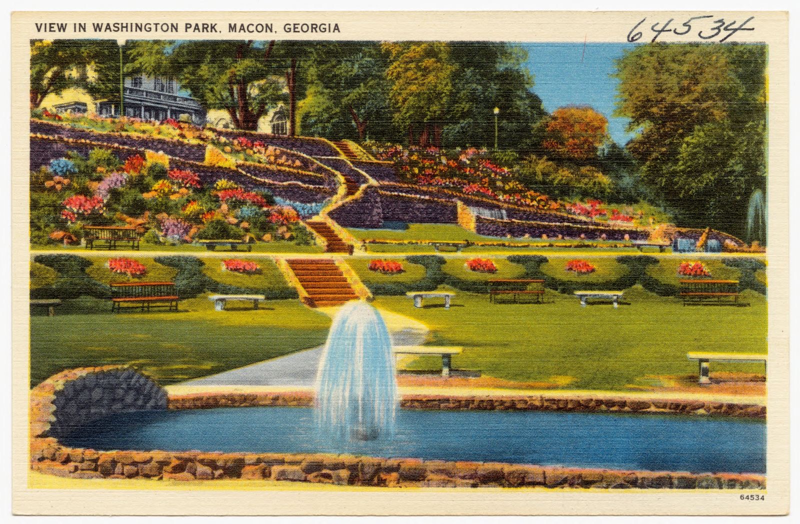
View of Washington Park, Macon, Georgia, Boston Public Library - undated
View of Washington Park, Macon, Georgia. Boston Public Library, via the Digital Public Library of America.
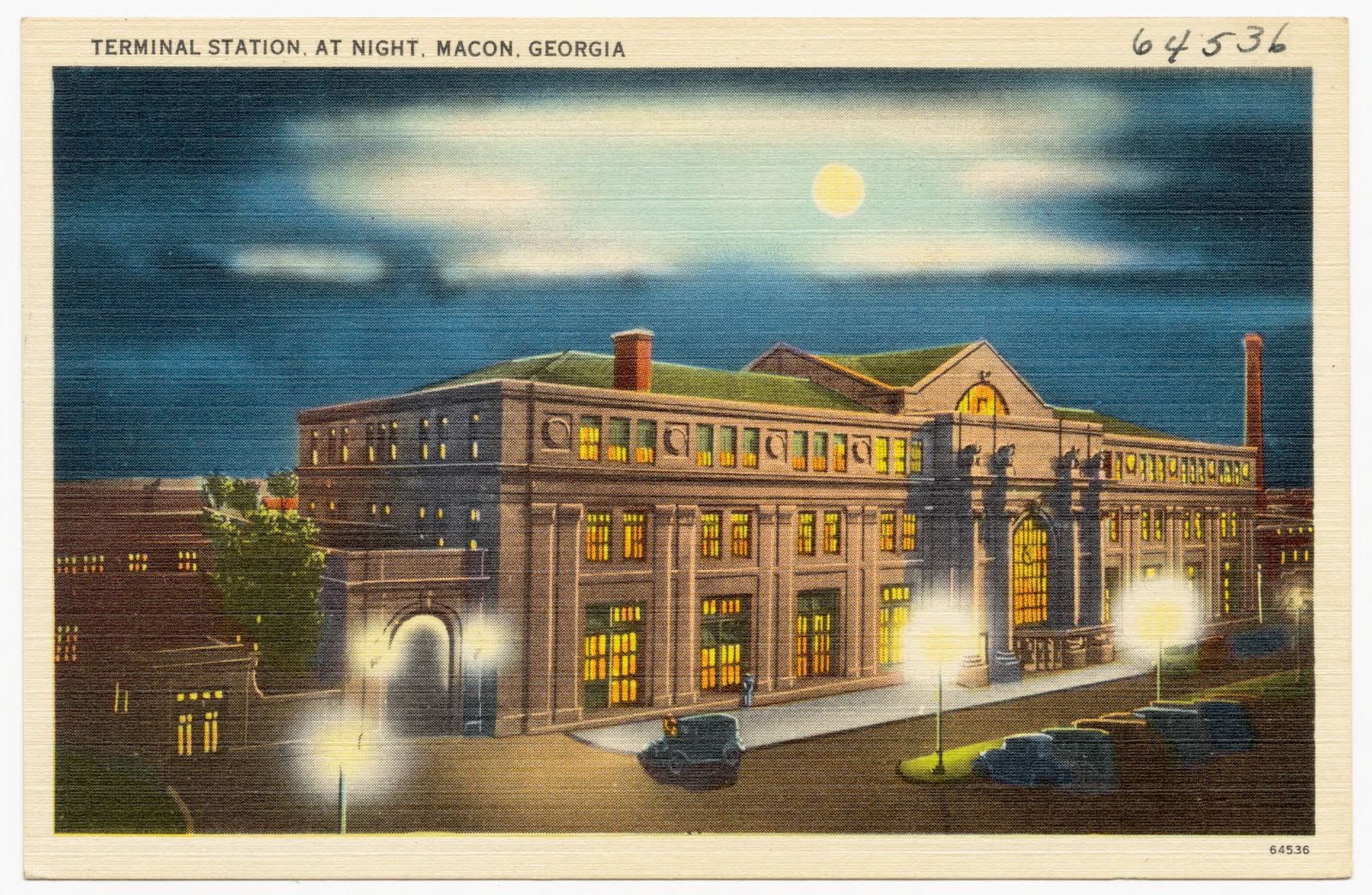
Terminal Station, at night, Macon, Georgia, Boston Public Library - undated
Terminal Station, at night, Macon, Georgia. Boston Public Library, via the Digital Public Library of America.
Magnolia Court, Macon, Ga. 41 rooms on U. S. 41, Boston Public Library - undated
Magnolia Court, Macon, Ga. 41 rooms on U. S. 41. Boston Public Library, via the Digital Public Library of America.
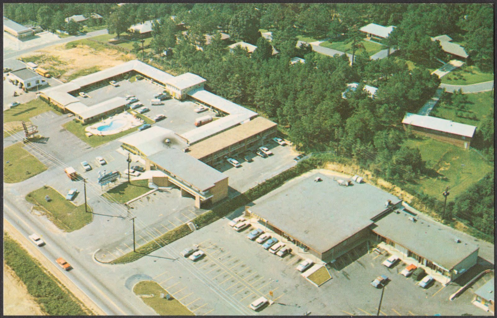
Ambassador Motel, Boston Public Library - undated
Ambassador Motel. Boston Public Library, via the Digital Public Library of America.
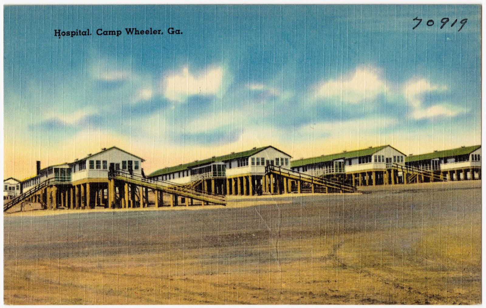
Hospital, Camp Wheeler, Ga., Boston Public Library - undated
Hospital, Camp Wheeler, Ga.. Boston Public Library, via the Digital Public Library of America.
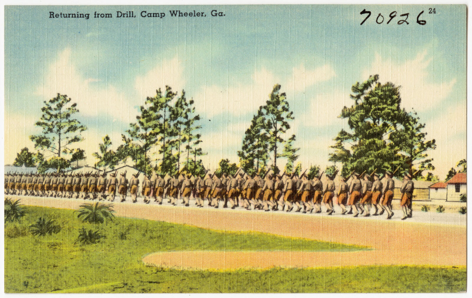
Returning from drill, Camp Wheeler, Ga., Boston Public Library - undated
Returning from drill, Camp Wheeler, Ga.. Boston Public Library, via the Digital Public Library of America.
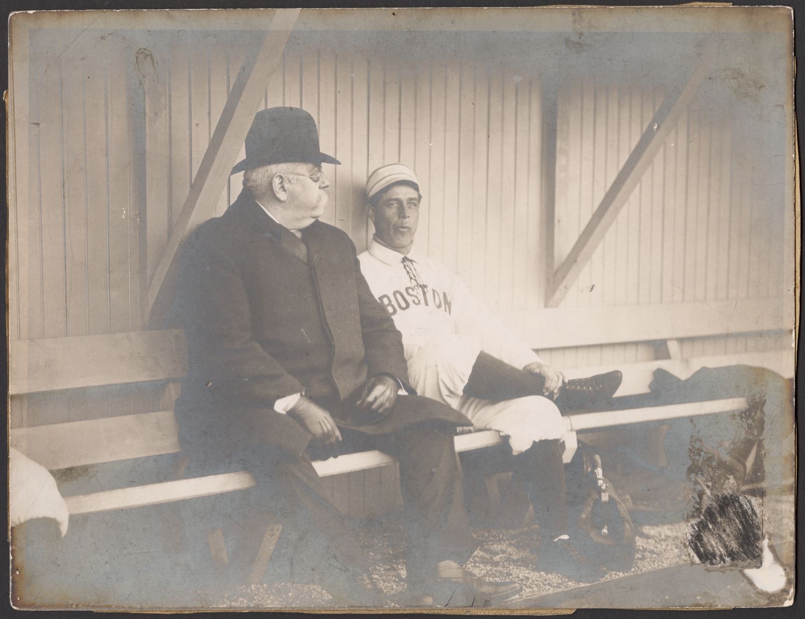
John L. Sullivan and Jimmy Collins in dugout during spring training, Boston Public Library - undated
John L. Sullivan and Jimmy Collins in dugout during spring training. Boston Public Library, via the Digital Public Library of America.
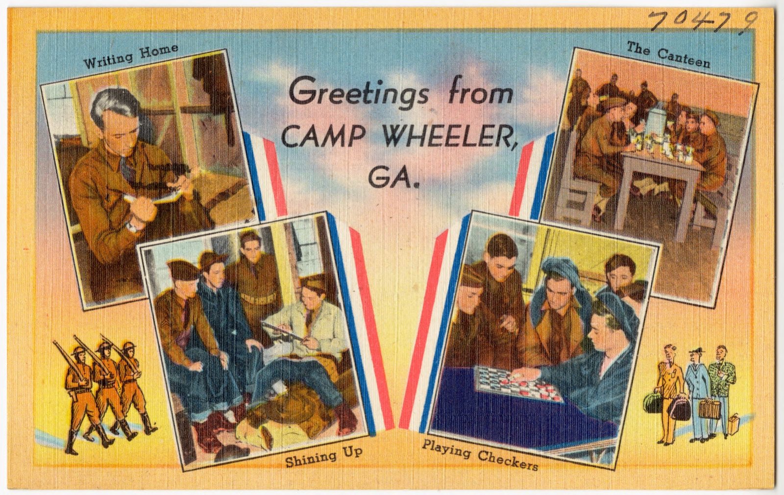
Greetings from Camp Wheeler, GA. -- writing home, shining up, playing checkers, the canteen, Boston Public Library - undated
Greetings from Camp Wheeler, GA. -- writing home, shining up, playing checkers, the canteen. Boston Public Library, via the Digital Public Library of America.
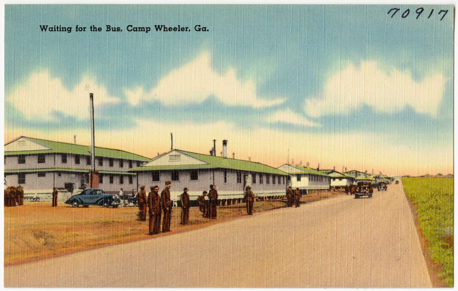
Waiting for the bus, Camp Wheeler, Ga., Boston Public Library - undated
Waiting for the bus, Camp Wheeler, Ga.. Boston Public Library, via the Digital Public Library of America.
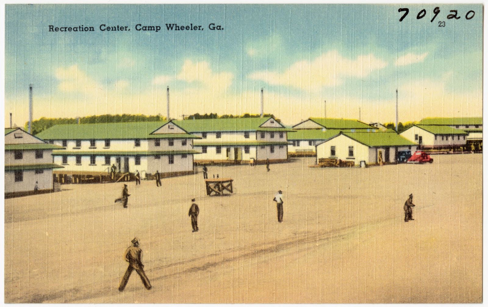
Recreation center, Camp Wheeler, Ga., Boston Public Library - undated
Recreation center, Camp Wheeler, Ga.. Boston Public Library, via the Digital Public Library of America.
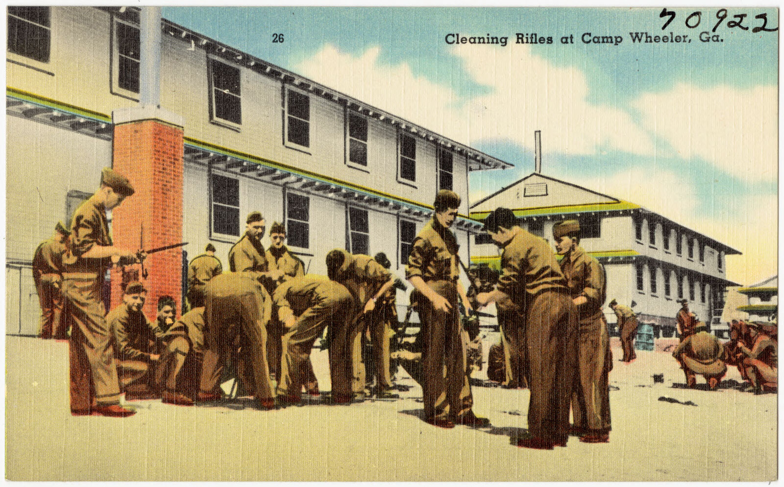
Cleaning rifles at Camp Wheeler, Ga., Boston Public Library - undated
Cleaning rifles at Camp Wheeler, Ga.. Boston Public Library, via the Digital Public Library of America.

The county from the air

24 shown

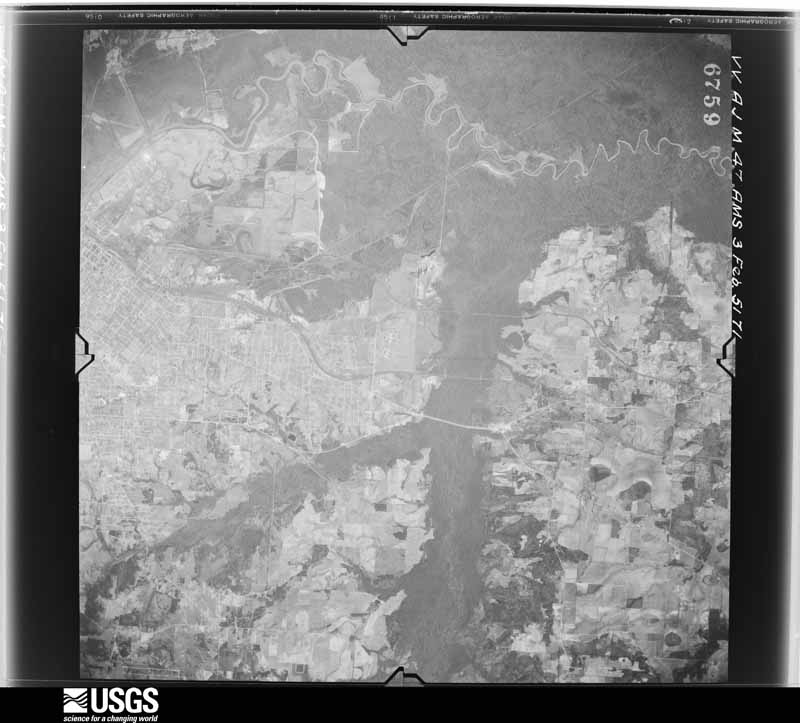
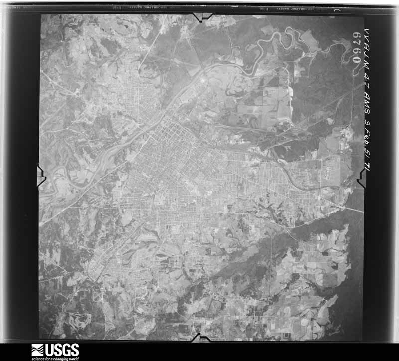
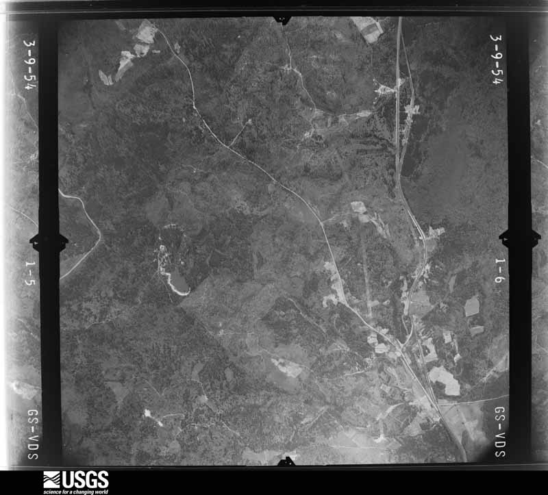
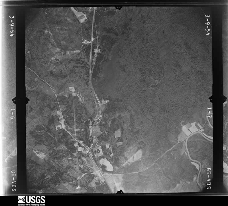
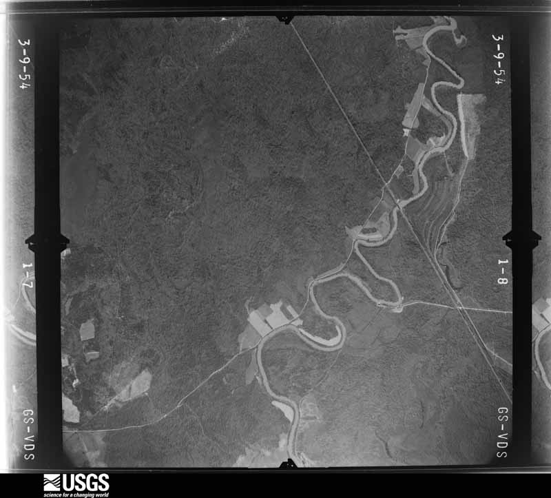
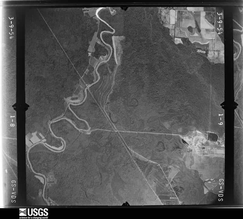
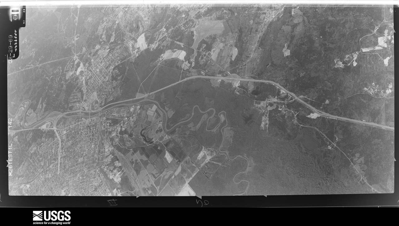
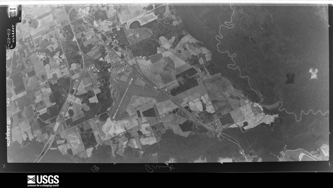
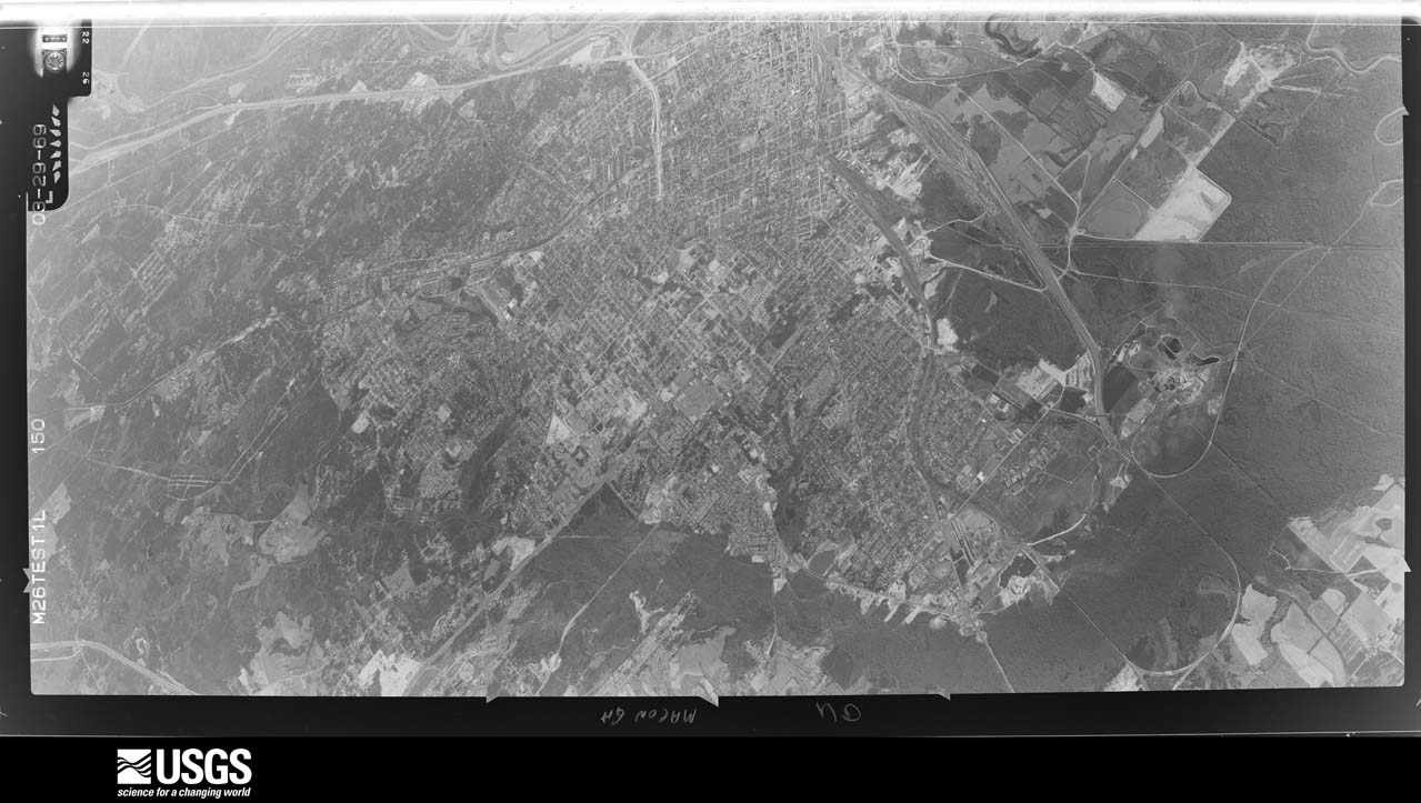
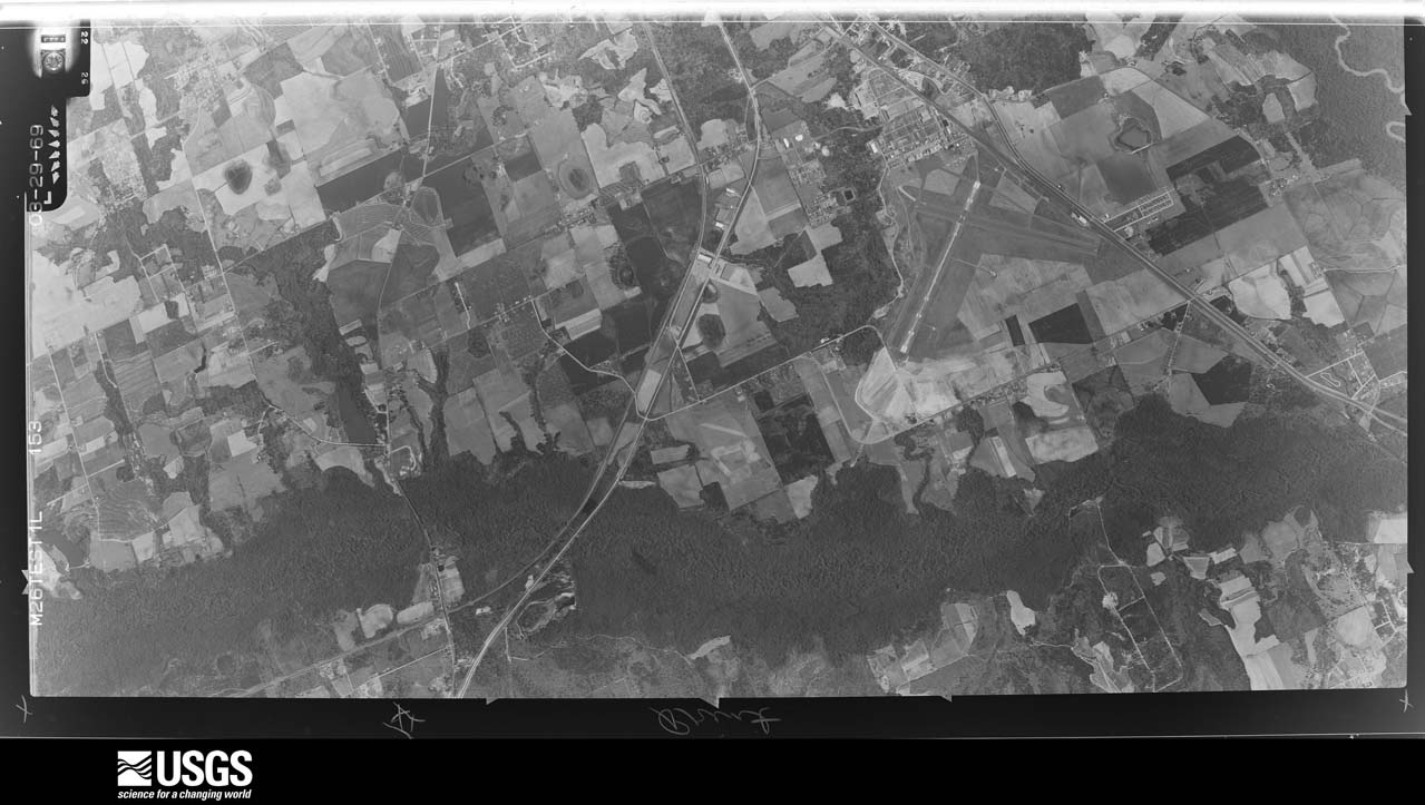
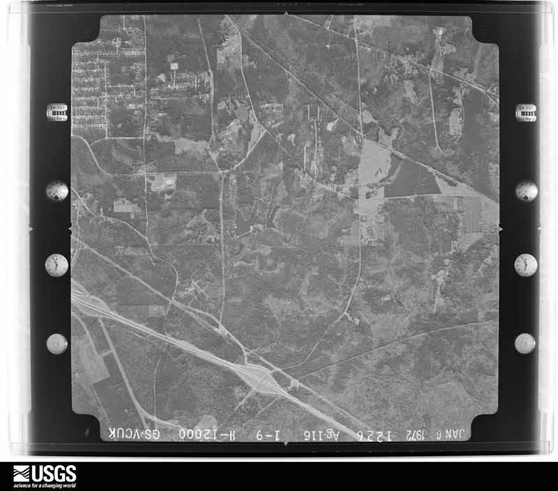
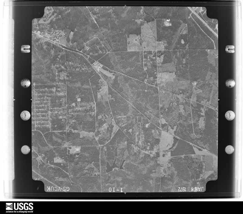
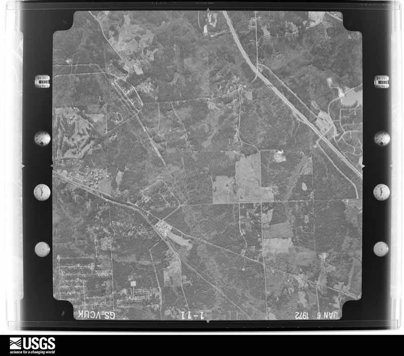
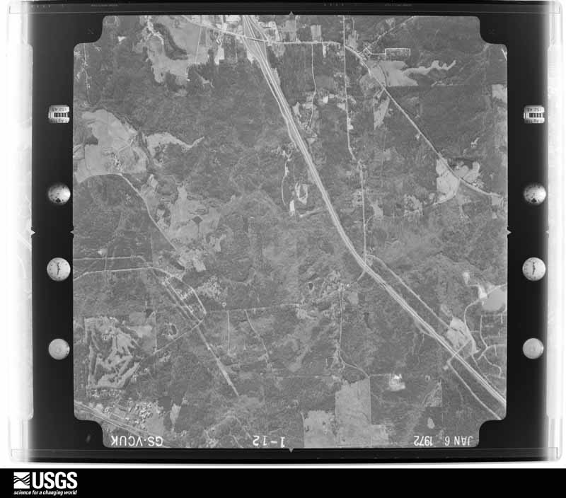
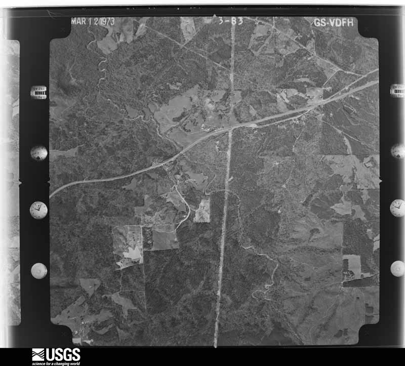
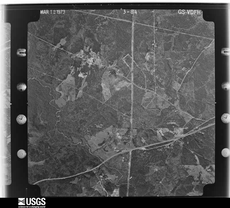
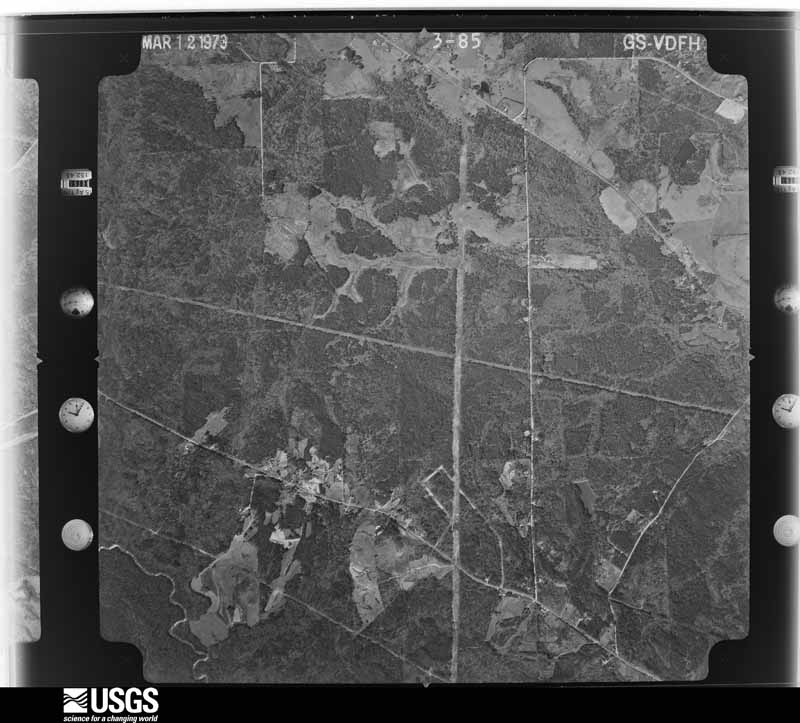
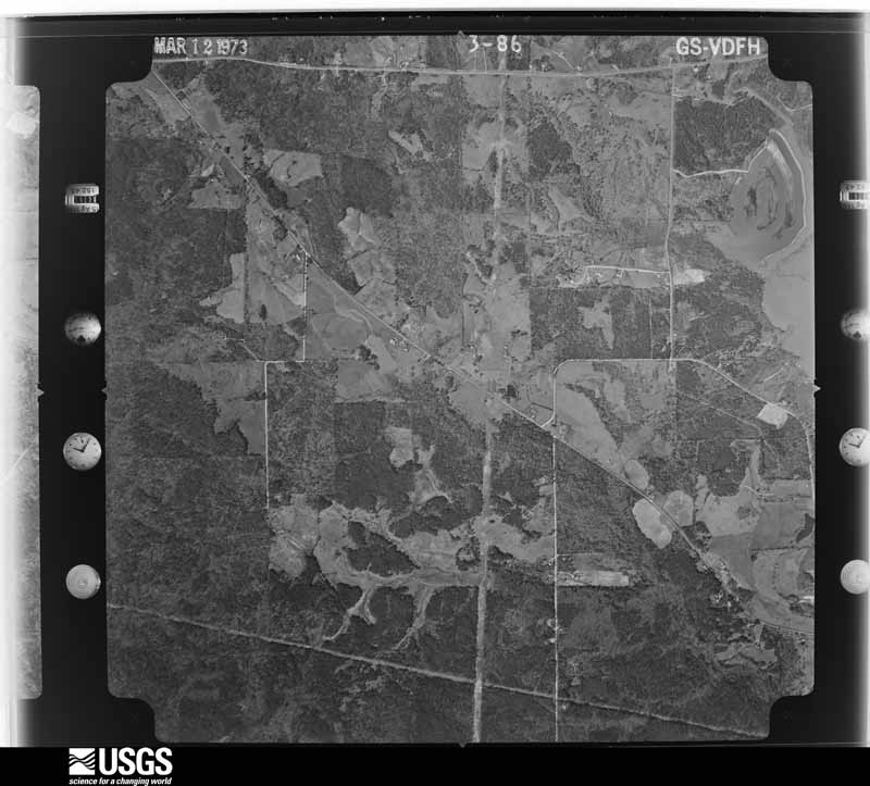
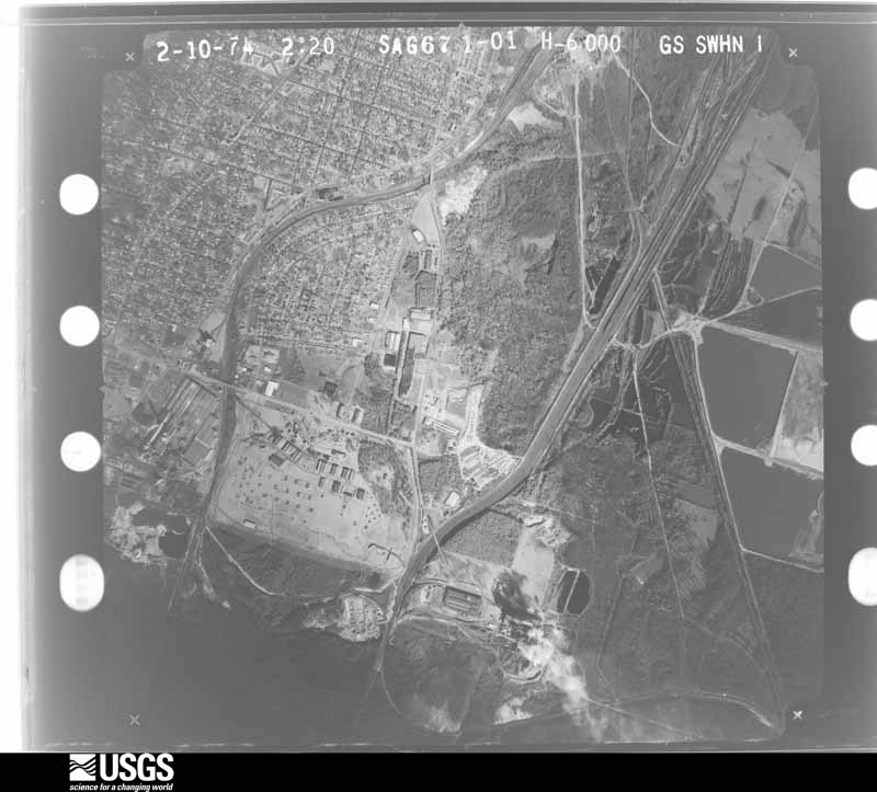
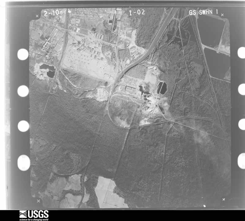
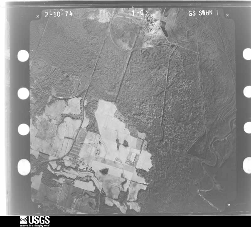
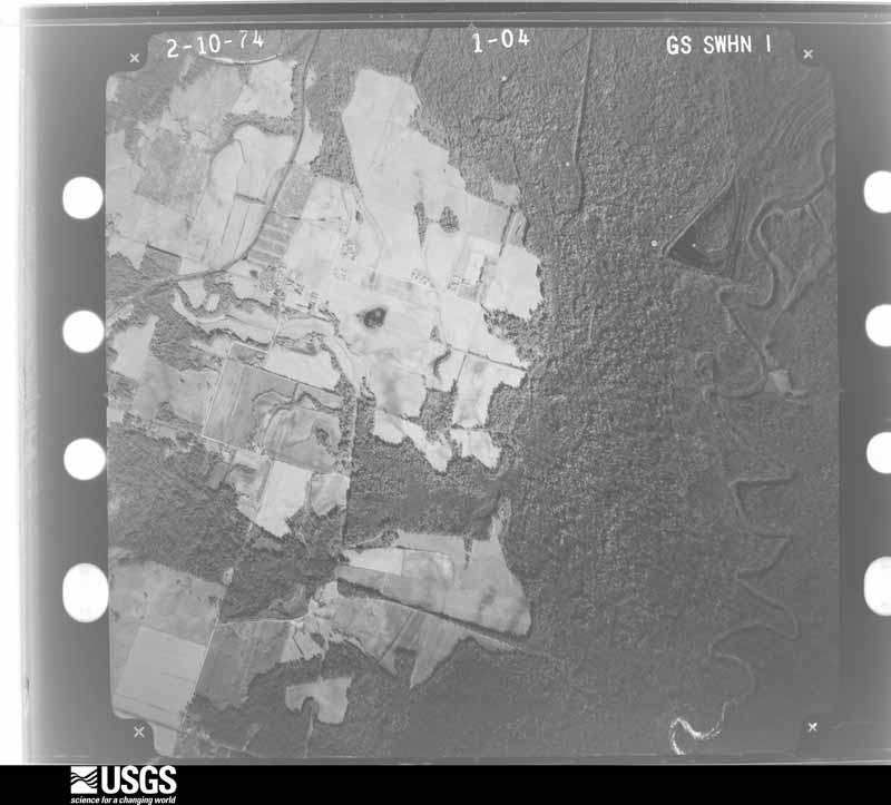
Flown by the U.S. Geological Survey between 1937 and 1989, the Aerial Photo Single Frames collection is the definitive mid-century view of the land: fields, roads and rivers as the camera saw them. The Survey holds 809 frames inside the rectangle that bounds this county; the 24 frames below were taken over the county itself, chosen across the decades of flights (at most four a year from that rectangle), so one flight cannot crowd out the rest. The full set is free to browse and download at EarthExplorer under the dataset Aerial Photo Single Frames.

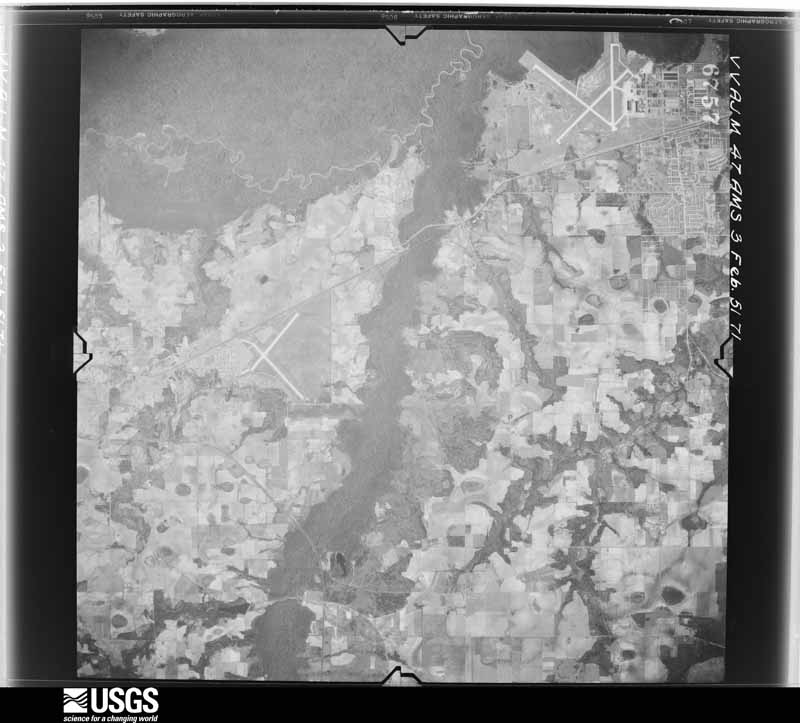
U.S. Geological Survey aerial photograph, 1951-02-03, scale 1:60000
1951-02-03, scale 1:60000. U.S. Geological Survey aerial photograph.
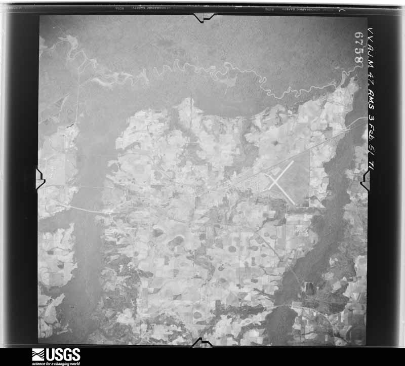
U.S. Geological Survey aerial photograph, 1951-02-03, scale 1:60000
1951-02-03, scale 1:60000. U.S. Geological Survey aerial photograph.
U.S. Geological Survey aerial photograph, 1951-02-03, scale 1:60000
1951-02-03, scale 1:60000. U.S. Geological Survey aerial photograph.
U.S. Geological Survey aerial photograph, 1951-02-03, scale 1:60000
1951-02-03, scale 1:60000. U.S. Geological Survey aerial photograph.
U.S. Geological Survey aerial photograph, 1954-03-09, scale 1:19000
1954-03-09, scale 1:19000. U.S. Geological Survey aerial photograph.
U.S. Geological Survey aerial photograph, 1954-03-09, scale 1:19000
1954-03-09, scale 1:19000. U.S. Geological Survey aerial photograph.
U.S. Geological Survey aerial photograph, 1954-03-09, scale 1:19000
1954-03-09, scale 1:19000. U.S. Geological Survey aerial photograph.
U.S. Geological Survey aerial photograph, 1954-03-09, scale 1:19000
1954-03-09, scale 1:19000. U.S. Geological Survey aerial photograph.
U.S. Geological Survey aerial photograph, 1969-03-29, scale 1:23330
1969-03-29, scale 1:23330. U.S. Geological Survey aerial photograph.
U.S. Geological Survey aerial photograph, 1969-03-29, scale 1:23330
1969-03-29, scale 1:23330. U.S. Geological Survey aerial photograph.
U.S. Geological Survey aerial photograph, 1969-03-29, scale 1:23330
1969-03-29, scale 1:23330. U.S. Geological Survey aerial photograph.
U.S. Geological Survey aerial photograph, 1969-03-29, scale 1:23330
1969-03-29, scale 1:23330. U.S. Geological Survey aerial photograph.
U.S. Geological Survey aerial photograph, 1972-01-06, scale 1:24000
1972-01-06, scale 1:24000. U.S. Geological Survey aerial photograph.
U.S. Geological Survey aerial photograph, 1972-01-06, scale 1:24000
1972-01-06, scale 1:24000. U.S. Geological Survey aerial photograph.
U.S. Geological Survey aerial photograph, 1972-01-06, scale 1:24000
1972-01-06, scale 1:24000. U.S. Geological Survey aerial photograph.
U.S. Geological Survey aerial photograph, 1972-01-06, scale 1:24000
1972-01-06, scale 1:24000. U.S. Geological Survey aerial photograph.
U.S. Geological Survey aerial photograph, 1973-03-01, scale 1:19000
1973-03-01, scale 1:19000. U.S. Geological Survey aerial photograph.
U.S. Geological Survey aerial photograph, 1973-03-01, scale 1:19000
1973-03-01, scale 1:19000. U.S. Geological Survey aerial photograph.
U.S. Geological Survey aerial photograph, 1973-03-01, scale 1:19000
1973-03-01, scale 1:19000. U.S. Geological Survey aerial photograph.
U.S. Geological Survey aerial photograph, 1973-03-01, scale 1:19000
1973-03-01, scale 1:19000. U.S. Geological Survey aerial photograph.
U.S. Geological Survey aerial photograph, 1974-02-01, scale 1:20500
1974-02-01, scale 1:20500. U.S. Geological Survey aerial photograph.
U.S. Geological Survey aerial photograph, 1974-02-01, scale 1:20500
1974-02-01, scale 1:20500. U.S. Geological Survey aerial photograph.
U.S. Geological Survey aerial photograph, 1974-02-01, scale 1:20500
1974-02-01, scale 1:20500. U.S. Geological Survey aerial photograph.
U.S. Geological Survey aerial photograph, 1974-02-01, scale 1:20500
1974-02-01, scale 1:20500. U.S. Geological Survey aerial photograph.

Weather records

16 stations, 4 gages

The thermometers that kept this county's weather, and the gages that measured the flow of its streams, as the federal records hold them. The extremes below are measured values from those records, not estimates.

The 1950 census, district by district

173 districts

Who lived here in 1950, one enumeration district at a time, as the Census Bureau described each district. Each row opens its official National Archives result, with Population Schedules and ED Maps available there.

  • 11-1Militia District 481, Godfrey, outside Macon city - That part (Tract C-5-part) Bounded by Macon City limits; Ocmulgee River; Militia District line (Tobesofkee Creek); Southern Railway
  • 11-2Militia District 481, Godfrey - That part (Tract C-6-part) Bounded by Militia District line; Bloomfield Rd., Unnamed Creek; Militia District line (Tobesofkee Creek)
  • 11-3Militia District 481, Godfrey - That part (Tract C-5-part) Bounded by Macon City limits; Southern Railway; Waterville Rd., Unnamed road, Central of Georgia Railway Spur line, Central of Georgia Railway, San Carlos Dr., Moore, Flamingo, Heard Ave., Harrell, Franklin, Houston Rd.
  • 11-4Militia District 481, Godfrey - That part (Tract C-5-part) Bounded by Franklin; Harrell, Heard Ave., Flamingo, Moore, San Carlos Dr.; Broadway, Richmond; Houston Rd.
  • 11-5Militia District 481, Godfrey - That part (Tract C-5-part) Bounded by Richmond; San Juan, Fulton, Mikado; Putnam; Houston Rd.
  • 11-6Militia District 481, Godfrey - That part (Tract C-5-part) Bounded by Fulton, San Juan, Broadway; San Carlos Dr., Central of Georgia Railway; Militia District line (Tobesofkee Creek); East Side Hwy., Guy Paine Rd., Houston Rd., Putnam, Mikado
  • 11-7Militia District 481, Godfrey - That part (Tract excluding Naval Ordnance Plant Bounded by Central of Georgia Railway; San Carlos Dr., Melvin Pl., Dorthy [Dorothy] [Dorothy] Ave., Dorthy [Dorothy] [Dorothy] Ave. Extended, Naval Fuse Loading Plant property line, San Carlos Dr., Guy Paine Rd., Gantt City Rd., Southern Railway; Militia District line (Tobesofkee Creek); Central of Georgia
  • 11-8Naval Ordnance Plant (Tract C-5-part) (in Militia District 481, Godfrey)
  • 11-9Militia District 481, Godfrey - That part (Tract C-5-part) Bounded by Central of Georgia Railway, Central of Georgia Railway Spur line, Unnamed road, Waterville Rd.; Southern Railway; Southern Railway, Gannt City Rd., Guy Paine Rd.; San Carlos Dr., Naval Fuse Loading Plant property line, Dorthy [Dorothy] [Dorothy] [Dorothy] Ave. Extended, Dorthy [Dorothy] [Dorothy] Ave., Melvin Pl., San Carlos Dr.
  • 11-10Militia District 481, Godfrey - That part (Tract C-5-part) Bounded by Guy Paine Rd.; East Side Hwy.; Houston Rd.
  • 11-11Militia District 481, Godfrey - That part (Tract C-5-part) Bounded by Macon city limits (Militia District line); Macon city limits, Pionono Rd.; Straight; 3rd, Dempsey Ave., Blossom
  • 11-12Militia District 481, Godfrey - That part (Tract C-6-part) Bounded by Militia District line, Macon city limits (Militia District line); Blossom Ave., Dempsey Ave., 3rd; Mosely Ave.; Key, Dempsey Ave.
  • 11-13Militia District 481, Godfrey - That part (Tract C-6-part) Bounded by Militia District line (Columbus Rd.), Dempsey Ave., Key, Mosely Ave.; Cedar, Anthony Rd., Key, Unnamed road; Rocky Creek Rd.; Bloomfield Rd.
  • 11-14Militia District 401, Godfrey - That part (Tract C-6-part) Bounded by Straight, Pionono Rd., Macon city limits; Rock (1st Ave.); Anthony Rd.; Cedar, Mosely Ave., 3rd
  • 11-15Militia District 481, Godfrey - That part (Tract C-6-part) Bounded by Macon city limits; Macon city limits; Ell; Rock (1st Ave.)
  • 11-16Militia District 481, Godfrey - That part (Tract C-6-part) Bounded by Anthony Rd., Rock, Ell; Macon City limits; Hightower Rd.; Hollis, Jesmaine, Pine, Pine extended, Long, Lincoln Dr., Harris, Pionono Rd., Dent, Unnamed street
  • 11-17Militia District 481, Godfrey - That part (Tract C-6-part) Bounded by Anthony Rd.; Unnamed street, Dent, Pionono Rd., Harris, Lincoln Dr., Long, Pine extended, Pine, Jesmaine, Hollis, Hightower Rd., Rock, Wilson, Unnamed stream, Power line, Allen Rd., Tripple Hill Dr.; Rocky Creek Rd.; Unnamed Rd., Key
  • 11-18Militia District 481, Godfrey - That part (Tract C-6-part) Bounded by Hightower Rd., Macon City limits; Macon city limits, Houston Rd.; Newberg; Unnamed stream, Wilson, Rock. Supervisor Note: This Enumeration District is expected to require subdivision. Examine before enumeration. See instruction.
  • 11-19Militia District 481, Godfrey - That part (Tract C-6-part) Bounded by Newberg; Houston Rd.; Sylvian Dr., Lyons, Mathis, Sylvian Dr., Emory Dr., Allen Rd., Power line; Unnamed stream
  • 11-20Militia District 481, Godfrey - That part (Tract C-6-part) Bounded by Emory Dr., Sylvian Dr., Mathis, Lyons, Sylvian Dr.; Houston Rd.; Green, Pinson, Rocky Creek Rd.; Tripple Hill Dr., Allen Rd.
  • 11-21Militia District 481, Godfrey - That part (Tract C-6-part) Bounded by Rocky Creek Rd.; Pinson, Green, Houston Rd.; Auburn, Auburn extended, East Side Hwy., Tech Dr., Guy Paine Rd.; Pionono Rd.
  • 11-22Militia District 481, Godfrey - That part (Tract C-6-part) Bounded by Rocky Creek Rd.; Militia District line (Tobesofkee Creek); Unnamed Creek, Bloomfield Rd. (Remainder of Militia District 481, Godfrey, is in Macon city)
  • 11-23Militia District 482, Warrior - That part (Tract C-7-part) north of U.S. Hwy. 80
  • 11-24Militia District 482, Warrior - That part (Tract C-7-part) south of U.S. Hwy. 80
  • 11-25Militia District 483, Howard, outside Macon city - That part (Tract C-1-part) Bounded by County line; County line (Ocmulgee River), Militia District line (Ocmulgee River); Militia District line, Macon city limits, Central of Georgia Railway, U.S. Hwy. 41; State Hwy. 87, County line
  • 11-26Militia District 483, Howard - That part (Tract C-1-part) Bounded by County line; State Hwy. 87; U.S. Hwy. 41
  • 11-27Militia District 483, Howard - That part (Tract C-1-part) Bounded by U.S. Hwy. 41; Tucker Rd.; Wolf Creek, Zebulon Rd.; Militia District line (Colaparchee Creek), County line
  • 11-28Militia District 483, Howard - That part (Tract C-1-part) Bounded by Zebulon Rd.; Wolf Creek; Militia District line; Militia District line (Colaparchee Creek)
  • 11-29Militia District 483, Howard - That part (Tract C-1-part) Bounded by Forsythe Rd., Central of Georgia Railway, Macon City limits; Militia District line; Militia District line; 6th Ave., South Ave., 4th Ave., Brookdale Ave., Unnamed stream, Villa Ave., Echo Pl., Palace Ave., George, Ayers Rd., American Blvd., Napier Ave.
  • 11-30Militia District 483, Howard - That part (Tract C-1-part) Bounded by Tucker Rd., Forsythe Rd. Napier Ave., American Blvd., Ayers Rd., George, Palace Ave.; Echo Pl., Villa Ave., Unnamed stream, Brookdale Ave., 4th Ave., South Ave., 6th Ave.; Militia District line; Wolf Creek (Remainder of Militia District 483, Howard, is in Macan city)
  • 11-31BMilitia District 514, East Macon - That part (Tract C-4-part) Bounded by County line; County line; U.S. Hwy. 80; Central of Georgia Railway (Ames, Gordon & Savannah)
  • 11-31AMilitia District 514, East Macon - That part (Tract C-4-part), excluding Masonic Home of Georgia (Orphanage) Bounded by County line; Central of Georgia Railway (Ames, Gordon & Savannah); U.S. Hwy. 80, Walnut Creek, U.S. Hwy. 129, Old Masonic Home Rd. (Walls St.), Macon City limits; Militia District line (Ocmulgee River)
  • 11-32Masonic Home of Georgia (Orphanage) (Tract C-4-part) (in Militia District 514, East Macon)
  • 11-33BMilitia District 514, East Macon - That part (Tract C-4-part) Bounded by Macon, Dublin and Savannah Railroad; County line; Militia District line (Ocmulgee River)
  • 11-33AMilitia District 514, East Macon - That part (Tract C-4-part), excluding Georgia Training School for Girls Bounded by River Rd., State Hwy. 87; U.S. Hwy. 80; Macon, Dublin and Savannah Railroad
  • 11-34Georgia Training School for Girls (Tract C-4-part) (in Militia District 514, East Macon)
  • 11-35Militia District 514, East Macon - That part (Tract C-4-part) Bounded by Walnut Creek; Milledgeville Rd., Magnolia Dr., Dorothy, Melton Rd., Magnolia Dr., Sulphur Springs Rd., Macon city limits, Kitchens, Coleman Lane extended, Coleman Lane, Georgia Baptist Dr., Williams; U.S. Hwy. 129
  • 11-36Militia District 514, East Macon - That part (Tract C-4-part) Bounded by Rome Rd. (Walls); U.S. Hwy. 129, Williams, Center; Macon city limits; Macon city limits
  • 11-37Militia District 514, East Macon - That part (Tract C-4) Bounded by George Baptist Dr., Sanford, Coleman Lane, Coleman Lane extended; Kitchens; Macon city limits; Center, Williams
  • 11-38Militia District 514, East Macon - That part (Trect C-4-part) Bounced by Sulphur Springs Rd., Magnolia Dr., Melton Rd., Dorothy, Magnolia Dr., Milledgeville Rd. (Main); Private road; Central of Georgia Railroad, Emery Highway; Macon city limits
  • 11-39Militia District 514, East Macon - That part (Tract C-4-part) Bounded by Emery Highway, Central of Georgia Railroad, Private road; State Highway 87, River Rd.; Macon Dublin and Savannah Railroad; Militia District line (Ocmulgee River), Macon city limits (Remainder of Militia District 514, East Macon, is in Macon city)
  • 11-40Militia District 519, Hazzard (Tract C-2)
  • 11-41Militia District 520, Rutland: Militia District 520, Rutland - That part (Tract C-8-part) northeast of Southern Railway
  • 11-42Militia District 520, Rutland - That part (Tract C-8-part) southwest of Southern Railway and east of U.S. Hwy. 41
  • 11-43Militia District 520, Rutland - That part (Tract C-8-part) west of U.S. Hwy. 41
  • 11-44Militia District 1085, Vineville, outside Macon city: Payne city (Tract C-3-part)
  • 11-45Militia District 1085, Vineville - That part (Tract C-3-part) Bounded by Militia District line (Ocmulgee River); Macon city limits; Macon city limits; Militia District line
  • 11-46Militia District 1085, Vineville - That part (Tract C-3-part) Bounded by Militia District line; Macon city limits; Macon city limits
  • 11-47Militia District 1085, Vineville - That part (Tract C-3-part) Bounded by Militia District line, Macon City limits; Payne City limits; Georgia Industrial Home Rd.; Militia District line (Napier Ave.)
  • 11-48Militia District 1085, Vineville - That part (Tract C-3-part) Bounded by Militia District line (Georgia Industrial Home Rd.), Georgia Industrial Home Rd.; Austin Dr., Hillcrest Rd.; Robertson Rd.; Lawton Rd.
  • 11-49Militia District 1085, Vineville - That part (Tract C-3-part) Bounded by Georgia Industrial Home Rd., Payne city limits; Macon City limits; Hillcrest Rd.; Hillcrest Rd., Austin Dr. Supervisor Note: This Enumeration District is expected to require subdivision. Examine before enumeration. See instructions.
  • 11-50Militia District 1085, Vineville - That part (Tract C-3-part) Bounded by Robertson Rd., Hillcrest Rd.; Hillcrest Blvd.; Napier Ave.; Carlisle, First, Edna Place Rd., Walker, Walker extended, James, U.S. Hwy. 80; Robertson Rd.
  • 11-51Militia District 1085, Vineville - That part (Tract C-3-part) Bounded by First, Carlisle, Napier Ave.; Dailey Ave.; Branch; Edna Place Rd.
  • 11-52Militia District 1085, Vineville - That part (Tract C-3-part) Bounded by Hillcrest Rd.; Macon City limits; Militia District line (Columbus Rd.); Hill, Gledmill, Church, Bailey Ave., Napier Ave., Hillcrest Blvd.
  • 11-53Militia District 1085, Vineville - That part (Tract C-3-part) Bounded by Branch; Bailey Ave., Church, Gledmill, Hill; Militia District line (Columbus Rd.); Woodrow Pl., Brookwood, Burton, Seminole, Colonial Dr., Ridgeland, Burton, Arnwood Ave., Arnwood Ave. Extended, Edna Place Rd.
  • 11-54Militia District 1085, Vineville - That part (Tract C-3-part) Bounded by Militia District line; Lawton Rd., Robertson Rd., U.S. Hwy. 80, James, Walker extended, Walker, Edna Place Rd., Arnwood Ave. extended, Arnwood Ave., Burton, Ridgeland, Colonial Dr., Seminole, Burton, Brookwood, Woodrow Pl.; Militia District line (Columbus Rd.); Militia District line (Remainder of Militia District 1085, Vineville, is in Macon city)
  • 163-1Macon city, comprising Militia Districts 564, Upper City, and 716, Lower City, and part of Militia Districts 481, Godfrey, 483, Howard, 514, East Macon, and 085, Vineville: Macon city - That part of Ward 2 (Tract 16-part) in Militia District 481, Godfrey Bounded by Edgewood, Militia District line; City limits; City limits, Enterprise Ave., Antioch Rd., Central Ave.; Houston Ave., Ibex, Elbert extended, Elbert. This Enumeration District consists of the following blocks: 39, 40, 41, 42, 43, 168
  • 163-2Macon city - That part of Ward 2 (Tract 16 - part) in Militia District 481, Godfrey Bounded by Enterprise; City limits; Colquitt; Antioch Rd. This Enumeration District consists of the following blocks: 44, 45, 46, 47, 48, 49, 50
  • 163-3Macon city - That part of Ward 2 (Tract 16 - part) in Militia District 481, Godfrey Bounded by Colquitt; City limits; Charles; Antioch Rd. This Enumeration District consists of the following blocks: 51, 52, 53, 54, 55, 56, 57
  • 163-4Macon city - That part of Ward 2 (Tract 16 - part) in Militia District 481, Godfrey Bounded by Charles; City limits; Crisp; Antioch Rd. This Enumeration District consists of the following blocks: 58, 59, 60, 61, 62, 63, 64
  • 163-5Macon city - That part of Ward 2 (Tract 16 - part; in Militia District 481, Godfrey Bounded by Crisp; City limits; City limits; Antioch Rd. This Enumeration District consists of the following blocks: 65, 66, 67, 68, 69, 70, 71
  • 163-6Macon city - That part of Ward 2 (Tract 15 - part) in Militia District 481, Godfrey Bounded by Edgewood; Elbert; Steele, Wood; Second, Gordon, Third. This Enumeration District consists of the following blocks: 1, 2, 7, 8, 9, 10
  • 163-7Macon city - That part of Ward 2 (Tract 15 - part) in Militia District 481, Godfrey Bounded by Edgewood; Third, Gordon, Second; Peebles; Telfair. This Enumeration District consists of the following blocks: 3, 4, 5, 6, 11, 12
  • 163-8Macon city - That part of Ward 2 (Tract 15 - part) in Militia District 481, Godfrey Bounded by Peebles, Wood; Cedar; Wycke, Grants Chapel Rd.; Jeff Davis, Telfair. This Enumeration District consists of the following blocks: 13, 14, 15, 24, 25, 26, 27, 28, 36
  • 163-9Macon city - That part of Ward 2 (Tract 15 - part) in Militia District 481, Godfrey Bounded by Wood; Broadway, Houston Ave.; Ell; City limits, Anthony Rd., Jeff Davis, Grants Chapel Rd., Wycke, Cedar. This Enumeration District consists of the following blocks: 16, 17, 22, 23, 29, 35, 37, 38, 39, 40
  • 163-10Macon city - That part of Ward 2 (Tract 15 - part) in Militia District 481, Godfrey Bounded by Wood; Campbell, Chapel; Ibex; Houston Ave., Broadway. This Enumeration District consists of the following blocks: 18, 21, 30, 34, 41, 43
  • 163-11Macon city - That part of Ward 2 (Tract 15 - part) in Militia District 481, Godfrey Bounded by Steele; Elbert, Elbert extended; Ibex; Chapel, Campbell. This Enumeration District consists of the following blocks: 19, 20, 31, 32, 33, 42
  • 163-12Macon city - That part of Ward 2 (Tract 15 - part) in Militia District 481, Godfrey Bounded by Ell; Houston Ave.; City limits; City limits. This Enumeration District consists of the following blocks: 44, 45, 46, 47, 48, 49, 50, 51, 56
  • 163-13Macon city - That part of Ward 2 (Tract 15 - part) in Militia District 481, Godfrey Bounded by Central Ave.; Antioch Rd., City limits; City limits; City limits, Houston Ave. This Enumeration District consists of the following blocks: 52, 53, 54, 55, 7, 58, 59, 60, 61, 62, 63, 64
  • 163-14Macon city - That part of Ward 4 (Tract 15 - part) in Militia District 481, Godfrey Bounded by Edgewood; Telfair; Henrietta, Nussbaum, [illegible], Elizabeth; Tindall Ave. This Enumeration District consists of the following blocks: 1, 2, 3, 12, 13, 14, 15, 16
  • 163-15Macon city - That part of Ward 4 (Tract 5 - part) in Militia District 481, Godfrey Bounded by Edgewood; Tindall Ave., Elizabeth, Alabama; City limits; City limits, College. This consists of the following blocks: 4, 5, 6, 7, 8, 9, 10, 11, 20, 21, 22, 23
  • 163-16Macon city - That part of Ward 4 (Tract 5 - part) in Militia District 431, Godfrey Bounded by Elizabeth; Nussbaum Ave.; Plant; Alabama. This Enumeration District consists of the following block: 19
  • 163-17Macon city - That part of Ward 4 (Tract 5 - part) in Militia District 431, Godfrey Bounded by Plant, Nussbaum Ave., Henrietta Ave.; Telfair, Jeff Davis; Anthony Rd.; City limits. This Enumeration District consists of the following blocks: 17, 18, 24, 25, 26
  • 163-18Macon city - That part of Ward 4 (Tract 4 - part) in Militia District 481, Godfrey Bounded by Montpelier Ave.; Linden Ave., Edgewood; Winship Ave.; Ninadell Dr. This Enumeration District consists of the following blocks: 1, 2, 3, 4, 5, 6, 7, 8, 9, 15, 16, 17, 21, 22
  • 163-19Macon city - That part of Ward 4 (Tract 4 - part) in Militia District 481, Godfrey Bounded by Montpelier Ave.; Ninadell Dr., Niagara; City limits; City limits. This Enumeration District consists of the following blocks: 10, 11, 12, 13, 14, 23, 24, 25, 26, 27, 28, 29
  • 163-20BMacon city - That part of Ward 4 (Tract 4 - part) in Militia District 481, Godfrey Bounded by Dempsey Ave.; City limits; City limits; City limits. This Enumeration District consists of the following block: 30
  • 163-20AMacon city - That part of Ward 4 (Tract 4 - part) in Militia District 481, Godfrey Bounded by Winship Ave.; Edgewood, College; City limits, Dempsey Ave., City limits; Niagara, Ninadell Dr. This Enumeration District consists of the following blocks: 18, 19, 20, 26, 27
  • 163-21Macon city - That part of Ward 5 (Tract 18-part) in Militia District 483, Howard Bounded by City limits; Militia District line; City limits. This Enumeration District consists of the following block: 21C
  • 163-22Macon city - That part of Ward 5 (Tract 18-part) in Militia District 483, Howard Bounded by City limits; Militia District line; Forsyth Rd.; Riverdale, Riverdale Dr. This Enumeration District consists of the following blocks: 21W, 26N, 27N, 28, 51, 52, 53, 54, 55, 56, 57, 58, 59, 60N
  • 163-23Macon city - That part of Ward 5 (Tract 18-part) in Militia District 483, Howard Bounded by City limits; Riverdale Dr., Riverdale; Overlook Ave., The Prado; Forest Hill Ave. This Enumeration District consists of the following blocks: 29, 30, 31, 32, 35, 35
  • 163-24Macon city - That part of Ward 5 (Tract 18-part) in Militia District 483, Howard Bounded by Forest Hill Ave., The Prado, Overlook Ave.; Riverdale; Forsyth Rd.; City limits. This Enumeration District consists of the following blocks: 33, 37, 38, 41, 42, 43, 44, 50
  • 163-25Macon city - That part of Ward 5 (Tract 18-part) in Militia District 483, Howard Bounded by Forsyth Rd.; Militia District line; City limits; City limits. This Enumeration District consists of the following blocks: 34, 39, 40, 45, 46, 47, 48, 49, 61N
  • 163-26Macon city - That part of Ward 1 (Tract 12 - part) in Militia District 514, East Macon Bounded by City limits; City limits; Cowan; Fort Hill. This Enumeration District consists of the following blocks: 1, 2, 3, 4, 5, 6, 7, 21, 22, 23, 24, 25, 26, 27, 28, 29, 30, 31, 32, 33
  • 163-27Macon city - That part of Ward 1 (Tract 12 - part) in Militia District 514, East Macon Bounded by City limits; Fort Hill; Cowan; Clinton. This Enumeration District consists of the following blocks: 8, 9, 10, 11, 12, 13, 14, 15, 16, 17, 18, 19, 20, 34, 35
  • 163-28Macon city - That part of Ward 1 (Tract 12 - part) in Militia District 514, East Macon Bounded by Cowan; Center, Emery Hwy, Center; Clinton; Clinton Rd. This Enumeration District consists of the following blocks: 36, 37, 38, 39, 40, 41, 42, 43, 44, 45, 46, 47, 48
  • 163-29Macon city - That part of Ward 1 (Tract 11 - part) in Militia District 514, East Macon Bounded by Boulevard Ave.; Ward line, Clinton Rd.; Clinton, Grey, North Ave.; Nottingham Dr., Drive, Boulevard Ave. This Enumeration District consists of the following blocks: 1W, 2, 3, 4, 6, 7W, 8
  • 163-30Macon city - That part of Ward 1 (Tract 10 - part) in Militia District 514, East Macon Bounded by Ward line; Ward line; Boulevard Ave.; Ward line. This Enumeration District consists of the following blocks: 13SW, 17S
  • 163-31Macon city - That part of Ward 1 (Tract 10 - part) in Militia District 514, East Macon Bounded by Nottingham Dr.; North Ave.; Militia District Line (Ocmulgee River); Ward line, Parkview. This Enumeration District consists of the following block: 8E
  • 163-32Macon city - That part of Ward 1 (Tract 13 - part) in Militia District 514, East Macon Bounded by Clinton; Main; Flanders; E. Second. This Enumeration District consists of the following blocks: 1, 2, 3, 4, 5, 6,18, 19, 20
  • 163-33Macon city - That part of Ward 1 (Tract 13 - part) in Militia District 514, East Macon Bounded by Clinton; E. Second, Water, Main; Militia District line (Ocmulgee River); North Ave., Grey. This Enumeration District consists of the following blocks: 7, 8, 9, 10, 11, 12, 13, 14, 15, 16, 17, 29, 30, 33, 34
  • 163-34Macon city - That part of Ward 1 (Tract 13 - part) in Militia District 514, East Macon Bounded by Flanders; Main; Water; E. Second. This Enumeration District consists of the following blocks: 21, 22, 23, 24, 25, 26, 27, 28, 31, 32
  • 163-35Macon city - That part of Ward 1 (Tract 17-part) in Militia District 514, East Macon Bounded by Cowan; City limits; City limits, Main; Maynard, Emery Hwy. Norris. This Enumeration District consists of the following blocks: 1, 2, 3, 4, 5, 6, 7, 22, 23, 24, 25, 26, 34, 35
  • 163-36Macon city - That part of Ward 1 (Tract 17-part) in Militia District 514, East Macon Bounded by Cowan; Norris, Emery Hwy., Maynard; Main, Hydrolia; Church (Cantonment), Fort Hill. This Enumeration District consists of the following blocks: 8, 9, 10, 19, 20, 21, 27, 28, 32
  • 163-37Macon city - That part of Ward 1 (Tract 17-part) in Militia District 514, East Macon Bounded by Cowan; Fort Hill, Church (Cantonment), Hydrolia, Main; Clinton; Center, Emery Hwy. (Broad), Center. This Enumeration District consists of the following blocks: 11, 12, 13, 14, 15, 16, 17, 18, 29, 30, 31, 44, 45
  • 163-38Macon city - That part of Ward 1 (Tract 17-part) in Militia District 514, East Macon Bounded by Hydrolia, Main; Jones Ave., Fletcher, Grady, Clinton; City limits, Militia District line (Ocmulgee River); Main. This Enumeration District consists of the following brocks: 41, 42, 46, 47, 48, 49, 63, 64, 65, 66
  • 163-39Macon city - That part of Ward 1 (Tract 17-part) in Militia District 514, East Macon Bounded by Main; City limits; City limits; Clinton, Grady, Fletcher, Jones Ave. This Enumeration District consists of the following blocks: 36, 37, 38, 39, 40, 50, 51, 52, 53, 54, 55, 56, 57, 58, 59, 60, 61, 62
  • 163-40Macon city - That part of Ward 5 (Tract 10 - part) in Militia District 514, East Macon Bounded by City limits; City limits, Twin Pine Dr.; Briar Cliff; City limits. This Enumeration District consists of the following blocks: 1, 2, 3, 4
  • 163-41Macon city - That part of Ward 5 (Tract 10 - part) in Militia District 514, East Macon Bounded by Briar Cliff, Twin Pine Dr., Nottingham Dr.; Parkview Dr., Ward line; Militia District line (Ocmulgee River), City limits; City limits. This Enumeration District consists of the following blocks: 5, 6, 7, 8W, 9
  • 163-42Macon city - That part of Ward 5 (Tract 10 - part) in Militia District 514, East Macon Bounded by City limits; City limits; Ward line, Boulevard Ave., Curry Dr., Nottingham Dr.; Twin Pine Dr. This Enumeration District consists of the following blocks: 10, 11, 12, 13NW, 17N, 18, 19, 20, 21
  • 163-43Macon city - That part of Ward 5 (Tract 10 - part) in Militia District 514, East Macon Bounded by City limits; City limits; Curry Pl.; Clay Ave., Boulevard Ave., Ward line. This Enumeration District consists of the following blocks: 13SE, 14, 15, 16
  • 163-44Macon city - That part of Ward 5 (Tract 10 - part) in Militia District 514, East Macon Bounded by Boulevard Ave., Clay Ave., Curry Pl.; City limits; Ward line; Ward line. This Enumeration District consists of the following blocks: 1E, 7E
  • 163-45Macon city - That part of Ward 5 (Tract 11 - part) in Militia District 514, East Macon Bounded by Boulevard Ave.; Drive; Nottingham Dr.; Curry Dr. This Enumeration District consists of the following block: 5
  • 163-46Macon city - That part of Ward 1 (Tract 8 - part) in Militia District 564, Upper City, excluding Lanier Hotel in Block 23 Bounded by Militia District line (Ocmulgee River); Militia District line, Broadway; Mulberry; First. This Enumeration District consists of the following brocks: 1C, 3, 4, 5, 22, 23-part, 24
  • 163-47Macon city - That part of Ward 1 (Tract 8 - part) in Militia District 564, Upper City, comprising Lanier Hotel in Block 23
  • 163-48Macon city - That part of Ward 1 (Tract 7 - part) in Militia District 564, Upper City, excluding Dempsey Hotel in Block 3 Bounded by Mulberry; Broadway; Cherry, Forsyth (Cotton) Ave.; First. This Enumeration District consists of the following blocks: 2, 3-part, 4, 5, 18
  • 163-49Macon city - That part of Ward 1 (Tract 7 - part) in Militia District 564, Upper City, comprising Dempsey Hotel in Block 3
  • 163-50Macon city - That part of Ward 3 (Tract 8 - part) in Militia District 564, Upper City Bounded by Militia District line (Ocmulgee River); First; Mulberry; New, Willow, Spring. This Enumeration District consists of the following blocks: 1W, 6, 21
  • 163-51Macon city - That part of Ward 3 (Tract 8 - part) in Militia District 564, Upper City Bounded by Willow; New; Mulberry; Spring. This Enumeration District consists of the following blocks: 7, 8, 20
  • 163-52Macon city - That part of Ward 3 (Tract 8 - part) in Militia District 564, Upper City Bounded by Jones, Ocmulgee, Franklin, Wright Lane; Spring; Walnut, Orange, Bond; College. This Enumeration District consists of the following blocks: 9, 10, 11, 12, 13
  • 163-53Macon city - That part of Ward 3 (Tract 8 - part) in Militia District 564, Upper City Bounded by Jones; College; Jefferson Ter.; Madison. This Enumeration District consists of the following blocks: 14, 15, 16
  • 163-54Macon city - That part of Ward 3 (Tract 8 - part) in Militia District 564, Upper City Bounded by Bond, Orange, Walnut; Spring; Georgia Ave., Orange, Georgia Ave.; College. This Enumeration District consists of the following blocks: 17, 18, 19
  • 163-55Macon city - That part of Ward 3 (Tract 9) in Militia District 564, Upper City Bounded by Militia District line (Ocmulgee River); Spring; Wright Lane, Franklin, Ocmulgee, Jones; Madison, Militia District line. This Enumeration District consists of the following blocks: 1, 2, 3, 4
  • 163-56Macon city - That part of Ward 3 (Tract 1 - part), in Militia District 564, Upper City, excluding Georgia Academy for the Blind in Block 28 Bounded by Militia District line; Madison; Jefferson Ter., Monroe, Hardeman Ave. This Enumeration District consists of the following blocks: 1S, 28-part, 29E, 30, 33, 41E, 42, 43E
  • 163-57Macon city - That part of Ward 3 (Tract 1 - part) in Militia District 564, Upper City, comprising Georgia Academy for the Blind in Block 28
  • 163-58Macon city - That part of Ward 3 (Tract 2 - part) in Militia District 564, Upper City Bounded by Hardeman Ave.; Monroe; Railroad Ave.; Linder Ave., Franks Ave. This Enumeration District consists of the following blocks: 32, 33, 34
  • 163-59Macon city - That part of Ward 3 (Tract 7 - part) in Militia District 564, Upper City Bounded by Mulberry; First; Poplar; New. This Enumeration District consists of the following blocks: 6, 17
  • 163-60Macon city - That part of Ward 3 (Tract 7 - part) in Militia District 564, Upper City Bounded by Mulberry; New; Poplar, Washington Ave.; Orange, Magnolia, Spring. This Enumeration District consists of the following blocks: 7, 15, 16
  • 163-61Macon city - That part of Ward 3 (Tract 7 - part) in Militia District 564, Upper City Bounded by Georgia Ave., Orange, Georgia Ave.; Spring; Magnolia, Orange, Washington Ave.; College. This Enumeration District consists of the following blocks: 8, 9, 10, 14
  • 163-62Macon city - That part of Ward 3 (Tract 7 - part) in Militia District 564, Upper City Bounded by Jefferson Ter., Georgia Ave.; College; Forsyth (Cotton) Ave.; Monroe. This Enumeration District consists of the following blocks: 11, 12, 13, 33, 34, 35, 36
  • 163-63Macon city - That part of Ward 3 (Tract 7 - part) in Militia District 564, Upper City Bounded by Washington Ave.; Poplar; Forsyth (Cotton) Ave.; College. This Enumeration District consists of the following blocks: 28, 29, 30, 31, 32, 37, 38, 39, 40, 41, 42
  • 163-64Macon city - That part of Ward 4 (Tract 6 - part) in Militia District 564, Upper City, excluding Mt. de Sales Convent and Academy in Block 6 Bounded by Forsyth (Cotton) Ave.; Spring; Columbus, Central of Georgia Railroad, Oglethorpe; College, Central of Georgia Railroad, Monroe. This Enumeration District consists of the following blocks: 2, 5, 6-part, 7, 8, 9, 10, 11, 20
  • 163-65Macon city - That part of Ward 4 (Tract 6 - part) in Militia District 564, Upper City, comprising Mt. de Sales Convent and Academy in Block 6
  • 163-66Macon city - That part of Ward 4 (Tract 6 - part) in Militia District 564, Upper City Bounded by Central of Georgia Railroad; College, Ash, College; Edgewood; Linden Ave. This Enumeration District consists of the following blocks: 21, 22, 23, 24, 25, 26, 27, 28, 36, 37, 38, 47, 48, 49
  • 163-67Macon city - That part of Ward 1 (Tract 16-part) in Militia District 716, Lower City Bounded by Militia District line (Ocmulgee River), City limits; City limits; Ward line, Pine; Fifth, Fifth extended. This Enumeration District consists of the following blocks: 1, 2, 3, 4, 5, 6, 7, 8, 9, 10, 11, 12, 13, 14, 15, 16N
  • 163-68Macon city - That part of Ward 1 (Tract 8 - part) in Militia District 716, Lower City, excluding Macon Hotel in Block 25 Bounded by Militia District line (Ocmulgee River); Fifth extended, Fifth; Mulberry; Broadway, Militia District line. This Enumeration District consists of the following blocks: 1E, 2, 25-part
  • 163-69Macon city - That part of Ward 1 (Tract 8 - part) in Militia District 716, Lower City, comprising the Macon Hotel in Block 25
  • 163-70Macon city - That part of Ward 1 (Tract 7 - part) in Militia District 716, Lower City, excluding Central and Grady Hotels in Block 1, and Southland Hotel in Block 24 Bounded by Forsyth (Cotton) Ave., Cherry, Broadway, Mulberry; Fifth; Pine; First. This Enumeration District consists of the following blocks: 1-part, 19, 20, 21, 22, 23, 24-part, 25, 26, 45, 46, 47, 48
  • 163-71Macon city - That part of Ward 1 (Tract 7 - part) in Militia District 716, Lower City, comprising Central Hotel in Block 1
  • 163-72Macon city - That part of Ward 1 (Tract 7 - part) in Militia District 716, Lower City, comprising Grady Hotel in Block 1
  • 163-73Macon city - That part of Ward 1 (Tract 7 - part) in Militia District 716, Lower City, comprising Southland Hotel in Block 24
  • 163-74Macon city - That part of Ward 2 (Tract 16-part) in Militia District 716, Lower City Bounded by Pine, Ward line; City limits; Militia District line; Seventh. This Enumeration District consists of the following blocks: 16C, 20, 21, 22, 23
  • 163-75Macon city - That part of Ward 2 (Tract 16-part) in Militia District 716, Lower City Bounded by Pine; Seventh; Edgewood; Fifth extended, Fifth. This Enumeration District consists of the following blocks: 17, 18, 19, 24, 25, 26, 27, 28, 29, 30, 31, 32, 33, 34, 35, 36, 37, 38
  • 163-76Macon city - That part of Ward 2 (Tract 14 - part) in Militia District 716, Lower City Bounded by Pine; Fifth; Bay; Third. This Enumeration District consists of the following blocks: 1, 2, 9, 10, 11, 12, 26, 28
  • 163-77Macon city - That part of Ward 2 (Tract 14 - part) in Militia District 716, Lower City Bounded by Pine; Third; Hawthorne; First, Oglethorpe, First. This Enumeration District consists of the following blocks: 3, 4, 7, 8, 13, 14, 15, 16, 23
  • 163-78Macon city - That part of Ward 2 (Tract 14 - part) in Militia District 716, Lower City Bounded by Hawthorne; First; Edgewood; Telfair. This Enumeration District consists of the following blocks: 22, 34, 37, 48, 49
  • 163-79Macon city - That part of Ward 2 (Tract 14 - part) in Militia District 716, Lower City Bounded by Hawthorne; Second; Edgewood; First. This Enumeration District consists of the following blocks: 24, 33, 38, 39, 47
  • 163-80Macon city - That part of Ward 2 (Tract 14 - part) in Militia District 716, Lower City Bounded by Hawthorne, Third, Bay; Fifth; Ash; Second. This Enumeration District consists of the following blocks: 25, 27, 29, 30, 31, 32
  • 163-81Macon city - That part of Ward 2 (Tract 14 - part) in Militia District 716, Lower City Bounded by Ash; Fifth, Fifth extended; Edgewood; Second. This Enumeration District consists of the following blocks: 40, 41, 42, 43, 44, 45, 46
  • 163-82Macon city - That part of Ward 3 (Tract 7 - part) in Militia District 716, Lower City Bounded by Forsyth (Cotton) Ave.; First; Pine. This Enumeration District consists of the following blocks: 27, 43, 44
  • 163-83Macon city - That part of Ward 4 (Tract 14 - part) in Militia District 716, Lower City Bounded by Pine; First; Oglethorpe; New. This Enumeration District consists of the following blocks: 5, 6, 17, 18, 19
  • 163-84Macon city - That part of Ward 4 (Tract 14 - part) in Militia District 716, Lower City Bounded by Oglethorpe; First, Hawthorne, Telfair; Edgewood; Jackson. This Enumeration District consists of the following blocks: 20, 21, 35, 36, 50
  • 163-85Macon city - That part of Ward 4 (Tract 6 - part) in Militia District 716, Lower City Bounded by Pine; New; Oglethorpe; Cole, Range, Columbus, Spring. This Enumeration District consists of the following blocks: 1, 3, 4, 15, 16
  • 163-86Macon city - That part of Ward 4 (Tract 6 - part) in Militia District 716, Lower City Bounded by Columbus, Range; Cole; Oglethorpe; Central of Georgia Railroad. This Enumeration District consists of the following blocks: 12, 13, 14, 17, 18, 19
  • 163-87Macon city - That part of Ward 4 (Tract 6 - part) in Militia District 716, Lower City Bounded by Oglethorpe; Jackson; Hazel, College Pl.; College. This Enumeration District consists of the following blocks: 29, 30, 31
  • 163-88Macon city - That part of Ward 4 (Tract 6 - part) in Militia District 716, Lower City Bounded by College Pl., Hazel; Jackson; Ash; College. This Enumeration District consists of the following blocks: 32, 33, 34, 35
  • 163-89Macon city - That part of Ward 4 (Tract 6 - part) in Militia District 716, Lower City Bounded by Ash; Jackson; Edgewood; College. This Enumeration District consists of the following blocks: 39, 40, 41, 42, 43, 44, 45, 46
  • 163-90Macon city - That part of Ward 3 (Tract 1 - part) in Militia District 1085, Vineville Bounded by Ward line; Jackson, Boundary; Green, Brewery, Woodcliff, Davis, Fourth Ave.; Grant Ave. This Enumeration District consists of the following blocks: 2S, 24, 25, 26, 27
  • 163-91Macon city - That part of Ward 3 (Tract 1 - part) in Militia District 1085, Vineville Bounded by Sheridan; Grant Ave., Fourth Ave., Linwood Ave.; Third Ave.; Forest Ave. This Enumeration District consists of the following blocks: 3, 4, 16, 17, 20, 21, 22, 23
  • 163-92Macon city - That part of Ward 3 (Tract 1 - part) in Militia District 1085, Vineville Bounded by Neal Ave.; Forest Ave.; Third Ave., Clayton; Rogers Ave. This Enumeration District consists of the following blocks: 5, 6, 7, 8, 9, 10, 11, 12, 13, 14, 15, 18, 19
  • 163-93Macon city - That part of Ward 3 (Tract 1 - part) in Militia District 1085, Vineville Bounded by Green; Militia District line, Monroe; Fourth Ave., Middle, Third Ave.; Pursley (North), Fourth Ave., Davis, Woodcliff, Brewery. This Enumeration District consists of the following blocks: 29W, 31, 32, 36
  • 163-94Macon city - That part of Ward 3 (Tract 1 - part) in Militia District 1085, Vineville Bounded by Third Ave., Middle, Fourth Ave.; Monroe; Second Ave., Middle, First Ave.; Pursley (North). This Enumeration District consists of the following blocks: 34, 35, 37, 40
  • 163-95Macon city - That part of Ward 3 (Tract 1 - part) in Militia District 1085, Vineville Bounded by Third Ave.; Pursley (North); Hardeman Ave., Vineville Ave.; Forest Ave. This Enumeration District consists of the following blocks: 38 39
  • 163-96Macon city - That part of Ward 3 (Tract 1 - part) in Militia District 1085, Vineville Bounded by First Ave., Middle, Second Ave.; Militia District line; Hardeman Ave.; Pursley (North). This Enumeration District consists of the following blocks: 41W, 43W, 44, 45
  • 163-97Macon city - That part of Ward 3 (Tract 2 - part) in Militia District 1085, Vineville Bounded by Ward line; Rogers Ave.; Vineville Ave.; Buford Pl. This Enumeration District consists of the following blocks: 3, 4S, 5S, 6, 7, 8S
  • 163-98Macon city - That part of Ward 3 (Tract 2 - part) in Militia District 1085, Vineville Bounded by Culpepper Blvd., Pierce Ave., McDonald; Buford Pl.; Vineville Ave.; Holmes. This Enumeration District consists of the following blocks: 9, 10, 11, 12, 13
  • 163-99Macon city - That part of Ward 3 (Tract 2 - part) in Militia District 1085, Vineville Bounded by Vineville Ave.; Glisby, Ranson, Ryals Ave.; Central of Georgia Railroad; Ward line. This Enumeration District consists of the following blocks: 14E, 15, 16, 17, 18, 19, 20, 21, 22
  • 163-100Macon city - That part of Ward 3 (Tract 2 - part) in Militia District 1085, Vineville Bounded by Clayton, Third Ave.; Forest Ave.; Vineville Ave.; Rogers Ave. This Enumeration District consists of the following blocks: 1, 2
  • 163-101Macon city - That part of Ward 3 (Tract 2 - part) in Militia District 1085, Vineville Bounded by Vineville Ave., Hardeman Ave.; Franks Ave., Linden Ave.; Central of Georgia Railroad; Ryals Ave., Ranson, Glisby. This Enumeration District consists of the following blocks: 23, 24, 25, 26, 27, 28, 29, 30, 31
  • 163-102Macon city - That part of Ward 3 (Tract 2 - part) in Militia District 1085, Vineville Bounded by Central of Georgia Railroad; Linden Ave.; Lawton Ave., Carling Ave., Dannenburg Ave.; Holt Ave. This Enumeration District consists of the following blocks: 1, 27
  • 163-103Macon city - That part of Ward 3 (Tract 2 - part) in Militia District 1085, Vineville Bounded by Central of Georgia Railroad; Holt Ave.; Lawton Ave., Randall Lane; Pio Nono Ave. This Enumeration District consists of the following blocks: 2, 3, 4, 5, 6, 21, 22, 23, 34, 35
  • 163-104Macon city - That part of Ward 4 (Tract 3 - part) in Militia District 1085, Vineville Bounded by Central of Georgia Railroad; Pio Nono Ave.; Cherokee Ave., Hillyer Ave., Napier Ave., Winton Ave., Napier Ave, City limits; City limits. This Enumeration District consists of the following blocks: 7, 8, 9, 10, 11, 12, 13, 14, 15, 16, 17, 18, 19, 20, 38, 39, 40, 41, 42
  • 163-105Macon city - That part of Ward 4 (Tract 3 - part) in Militia District 1085, Vineville Bounded by Napier Ave., Winton Ave., Napier Ave, Hillyer Ave., Cherokee Ave.; Pio Nono Ave.; City limits; City limits. This Enumeration District consists of the following blocks: 36, 37, 61, 62, 63, 64, 65, 66, 67, 68, 69, 70, 76, 77, 78, 79, 80, 81, 82
  • 163-106Macon city - That part of Ward 4 (Tract 3 - part) in Militia District 1085, Vineville Bounded by Randall Lane, Lawton Ave.; Holt Ave.; Montpelier Ave.; Pio Nono Ave. This Enumeration District consists of the following blocks: 33, 43, 44, 45, 46, 47, 48, 49, 56, 57, 58, 59, 60, 71, 72, 73, 74, 75
  • 163-107Macon city - That part of Ward 4 (Tract 3 - part) in Militia District 1085, Vineville Bounded by Holt Ave., Lawton Ave.; Duncan Ave.; Montpelier Ave.; Holt Ave. This Enumeration District consists of the following blocks: 31, 32, 50, 54, 55
  • 163-108Macon city - That part of Ward 4 (Tract 3 - part) in Militia District 1085, Vineville Bounded by Dannenburg Ave.; Carling Ave.; Lawton Ave.; Holt Ave. This Enumeration District consists of the following blocks: 24, 25, 26
  • 163-109Macon city - That part of Ward 4 (Tract 3 - part) in Militia District 1085, Vineville Bounded by Lawton Ave.; Linden Ave.; Montpelier Ave.; Duncan Ave. This Enumeration District consists of the following blocks: 28, 29, 30, 51, 52, 53
  • 163-110Macon city - That part of Ward 4 (Tract 3 - part) in Militia District 1085, Vineville Bounded by Vineville Branch, City limits, Ocmulgee River (Militia District line); Militia District line; Jackson, Ward line, Sheridan; Forest Ave. This Enumeration District consists of the following blocks: 1N, 2N
  • 163-111Macon city - That part of Ward 5 (Tract 18-part) in Militia District 1085, Vineville Bounded by City limits; City limits; Vineville Branch, Forest Ave., Neal Ave., McDonald; Corbin Ave. This Enumeration District consists of the following blocks: 1, 2, 3, 4, 5, 6, 7, 8, 9, 10, 11, 12, 13, 14, 15, 90, 91
  • 163-112AMacon city - That part of Ward 5 (Tract 18-part) in Militia District 1085, Vineville Bounded by Militia District line, City limits, Militia District line, City limits; Old Holton Rd. (Old city limits), City limits, Corbin Ave.; MacDonald, Pierce Ave., Culpepper Blvd., Holmes, Vineville Ave., Florida, City limits; Carolina, Vineville Ave., Vista Circle, Emily Pl., Louise Pl. This Enumeration District consists of the following blocks: 16, 17, 18, 19, 20, 21E, 22, 23, 24, 26S, 74, 75, 76, 79, 80, 81, 82, 83, 84, 85, 86, 87, 88, 89
  • 163-112BMacon city - That part of Ward 5 (Tract 18-part) in Militia District 1085, Vineville Bounded by City limits; City limits; Old Holton Rd. (Old city limits), City limits. This Enumeration District consists of the following block: 92
  • 163-113Macon city - That part of Ward 5 (Tract 18-part) in Militia District 1085, Vineville Bounded by Louise Pl.; Emily Pl., Vista Circle, Vineville Ave., Carolina; City limits; Militia District Line. This Enumeration District consists of the following blocks: 25, 27S, 59S, 60S, 61S, 62, 63, 64, 65, 66, 67, 68, 69, 70, 71, 72, 73, 77, 78
  • 163-114Macon city - That part of Ward 5 (Tract 18-part) in Militia District 1085, Vineville Bounded by McDonald; Rogers Ave.; Ward line; Buford Pl. This Enumeration District consists of the following blocks: 4N, 5N, 8N
  • 163-115Macon city - That part of Ward 5 (Tract 2 - part) in Militia District 1085, Vineville Bounded by Vineville Ave.; Ward line; City limits; Florida. This Enumeration District consists of the following block: 14N

Wildfire, 1992 to 2020

564 fires

Every wildfire the federal occurrence database records inside this county: 564 of them, burning about 2,055 acres. 26 started naturally and 126 were recorded as arson. Each settlement page carries the fires within five miles of it.

Reported cause Fires
Debris and open burning238
Arson/incendiarism126
Equipment and vehicle use47
Misuse of fire by a minor36
Smoking30
Missing data/not specified/undetermined29
Natural26
Recreation and ceremony16
Railroad operations and maintenance16

The five largest, by the area the report gives. Two of them were set deliberately.

DateCause SizeReported by Name on the report
25 May 1995Equipment and vehicle use79 acresGeorgia Forestry Commissionnot named
30 December 2010Debris and open burning78 acresGeorgia Forestry CommissionFY2011-BIBB-006
17 February 2011Debris and open burning62 acresGeorgia Forestry CommissionFY2011-BIBB-010
13 February 2003Recreation and ceremony49 acresGeorgia Forestry Commissionnot named
24 May 2011Arson/incendiarism48 acresGeorgia Forestry CommissionFY2011-BIBB-020
3 March 1997Debris and open burning46 acresGeorgia Forestry Commissionnot named
10 June 2011Debris and open burning29 acresGeorgia Forestry CommissionFY2011-BIBB-024
7 March 1992Arson/incendiarism28 acresGeorgia Forestry Commissionnot named

Every settlement page carries the fires within five miles of it - see the settlement index below.

Storms, 1952 to 2026

60 of 395 shown

The NOAA Storm Events Database holds 395 reports for this county, causing 5 deaths, 65 injuries and about $28,795,200 in recorded property damage. Each settlement page carries the reports that name it.

Kind of event Reports
Thunderstorm Wind241
Hail98
Tornado26
Lightning10
Flood7
Flash Flood7
Heavy Rain4
Funnel Cloud1
Winter Storm1

The most serious of them, by death, then injury, then recorded damage. The accounts are quoted exactly as the forecast office filed them.

WhenEvent Place namedHarm What the report says
March 1954Tornado (F3)not stated5 killed, 50 hurt, $2,500,000no account filed
March 1952Tornado (F3)not stated4 hurt, $250,000no account filed
May 1955Tornado (F1)not stated2 hurt, $2,500,000no account filed
July 1991Thunderstorm Windnot stated2 hurtno account filed
July 1987Thunderstorm Windnot stated2 hurtno account filed
April 1979Tornado (F1)not stated1 hurt, $2,500,000no account filed
August 2010LightningSkipperton1 hurtThe Macon Telegraph reported that lightning struck a U.S. Postal Service mail carrier while placing mail in a mailbox on Rocky Creek Road in Macon. The female mail carrier was taken to the hospital after asking for medical attention, but did not sustain any life-threatening injuries.
July 2002LightningSkipperton1 hurtAn amateur radio operator reported that a person was struck and injured by lightning.
February 1990Thunderstorm Windnot stated1 hurtno account filed
April 1985Thunderstorm Windnot stated1 hurtno account filed
May 2008Tornado (EF2)Lizella$5,000,000A damage survey conducted by the National Weather Service Forecast Office in Peachtree City, Georgia confirmed that an EF2 tornado touched down near Lizella and continued across Bibb county into extreme western Twiggs county near Dry Branch producing sporadic, but significant damage as it varied in intensity from EF0 to EF2. The tornado tracked from just east-northeast of Lizella across the south shores of Lake Tobesofkee, then across the city of Macon, producing widespread significant damage, and then eastward to the Twiggs county line. By far the most significant damage occurred within the city of Macon, especially along Eisenhower Parkway and Pio Nono Avenue where two businesses were completely destroyed and several others were heavily damaged. Macon State College was also hit by the tornado, destroying the gymnasium and causing significant damage to a number of other buildings on the campus. In addition, more than 50 percent of the trees on the campus either snapped in half or uprooted. Maximum wind speeds within the tornado were estimated at 130 mph, which occurred near the intersection of Eisenhower Parkway and Pio Nono Avenue. Nearly all of the 18 mile long path of the tornado fell within Bibb county. Less than one mile of the tornado occurred within Twiggs county. The maximum path width of the tornado was estimated to be 100 yards, mainly as it traveled through the Macon State College area.||A summary of damages from Bibb county shows that 1,479 homes suffered at least some damage as a result of the storms. Ninety-three of these homes were destroyed, 275 suffered major damage, and 569 sustained minor damage.
March 2011HailLizella$2,260,000Several reports of golf ball-sized hail were received from the western half of Bibb county from Lizella and Lake Tobesofkee to near Macon. There was even one report of tennis-ball-sized hail near Lizella. The hail decreased to quarter size as the storm moved into the western suburbs of Macon and to nickel size as it moved further into Macon. However, there were several reports within the city of Macon of hail covering the ground like snow. Nickel-sized hail was observed at the terminal station in downtown Macon. There was also one report of a damaged camper at a campground near Macon caused by a downed tree.
March 2019HailSkipperton$2,000,000The Bibb County Emergency Manager reported golf ball to lime size hail on the south side of Macon from around the intersection of Allen Road and Houston Road to the Middle Georgia Regional Airport.
April 2011Tornado (EF1)Rivoli$2,000,000A damage survey conducted by meteorologists from the National Weather Service Forecast Office in Peachtree City, Georgia confirmed that an EF1 tornado touched down approximately five miles northwest of Macon and tracked 2.5 to 3.5 miles lifting approximately five miles north-northwest of Macon. The tornado tracked through the northern suburbs of Macon between Interstate-475 and Interstate-75, just south of the Monroe county line yet lifting just before reaching the Jones county line. The maximum path width was determined to be 500 yards. The maximum wind in the tornado was determined to be 110 mph. Extensive damage was reported from a largely residential area of Bibb county. From 20 to 25 homes sustained sustained damage. Four of these homes were destroyed and another 10 of these suffered major damage. A motel and an adjacent commercial building suffered roof damage. Two storage buildings were destroyed or heavily damaged. At least 200 trees were uprooted, snapped, or blown over by the tornado. There were no fatalities or injuries reported from this tornado.||[04/15-04/16/11: Tornado #3, County #1-1, EF1, Bibb, 2011:009].
April 2015HailSkipperton$1,700,000A picture of several golf ball size hail stones that fell on Hartley Bridge Road was received via social media.
March 2011HailSkipperton$1,580,000A storm spotter observed golf ball-sized hail just north of the Macon Regional Airport on Hartly Bridge Road. An amateur radio operator relayed a report of half-dollar-sized hail from southern Bibb county and a trained spotter observed quarter-sized hail in southern Bibb county, just west of Rutland.
May 2008HailLizella$1,000,000Numerous reports of large hail were received from the broadcast media, the public, and amateur radio operators from much of Bibb county. Penny to quarter-sized hail was reported from amateur radio operators in north central Bibb county and northwest of Macon. The largest hail observed was golf ball-sized by personnel at WMAZ Television in Macon. Hail reports continued to the east side of the county where the public observed penny-sized hail from the intersection of Interstate-75 and Interstate-16 to about five or six miles down Interstate-16 toward the Twiggs county line.
July 2005Flash FloodMacon$500,000The Macon Telegraph reported that slow moving and persistent thunderstorms dumped up to three inches of rain on saturated ground across Macon and much of Bibb county during the mid to late afternoon. The heavy rain resulted in considerable flooding. At least 10 units of an apartment complex were flooded when water rushed down a hill caused by a dam break on a nearby pond. The water rose above the first level of the apartment and many residents had to be rescued from their apartments through the windows. Another home nearby was flooded with up to 18 inches of water in the basement after an area of water 40 feet wide rushed toward his home from the dam breakage. The flash flooding in the area also caused a number of sinkholes to develop. A police patrol car stalled in four foot deep water at one of the sinkhole incidents.
March 2013Thunderstorm WindRivoli$450,000Ham radio operators and the Macon Fire Department reported wind damage across the Macon area. Numerous trees and power lines were down across the city. Several trees fell on homes, trapping the occupants inside. Media also reported that the press box at the First Presbyterian Day School on Calvin Drive was blown over.
November 2002Tornado (F0)Lorane$400,000A National Weather Service disaster survey team from the National Weather Service office in Peachtree City, Georgia, along with Bibb county emergency management officials confirmed that a short-lived F0 tornado touched down in extreme northern Bibb county in the Cross Creek and Sleepy Creek subdivisions which straddle the Bibb-Monroe county line. The tornado was estimated to have a path length of 1/2 to 3/4 mile and a path width of 1/4 mile or less. Numerous trees, mostly pines, were either broken off or uprooted. Some of the trees landed on homes and some shingles were also peeled off by the wind. However, damage to homes was minor. Most of the damage occurred in the Wesleyan Road, Riverside Road, and Bass Road areas. A couple of roads were blocked by downed trees.
April 2011Tornado (EF1)Walden$300,000A damage survey conducted by the National Weather Service Forecast Office in Peachtree City, Georgia confirmed that a brief EF1 tornado had touched down in southern Bibb county, approximately two miles southwest of Skipperton. The tornado path length was approximately 1.1 miles long, maximum path width was 50 yards, and maximum wind speeds were estimated to be 105 mph. The tornado touched down near the intersection of Sardis Church Road and Goodall Mill Road and tracked northeast 1.1 miles before lifting just east of the 6900 block of Andalusia Drive. Around 100 trees were either blown over, uprooted, or snapped along the path of the tornado. Nine homes suffered minor to moderate damage from downed trees and/or the tornadic winds. One of the homes sustained significant damage when the wind blew out the garage and caused the entire home to shift off its foundation. No fatalities or injuries were reported in conjunction with this tornado.||[04/04-04/05/11: Tornado #3, County #1-1, EF1, Bibb, 2011:005].
April 2020Tornado (EF1)Wesleyan College$250,000A tornado briefly touched down in Macon as a line of severe storms moved through the city. The tornado first touched down on Edgewater Drive causing a tree to fall onto a house. The storm crossed I-475 and ripping shingles and roofing material off of 2 hotels next to the interstate as well as blowing a fence down. The storm crossed Zebulon Rd where the front door and windows of a Walgreens Store were completely blown in and a large hole was blown through the roof. Most of the interior shelving and ceiling was blown over and downed with significant damage occurring to the store. A Walmart adjacent to the Walgreens had its sunroofs blown out with minor roof damage elsewhere. Numerous trees were uprooted in and around the Walmart Parking lot. Further up Zebulon, a gas station canopy sustained damage as much of the metal sheeting was peeled and thrown. Significant shingle damage occurred to a small professional building next to the gas station. A large tree was downed onto Zebulon Rd next to the Chick-Fil-A. The storm continued NE it hit the subdivision along Huddersfield |Rd and Wakefield Way hard with numerous large trees downed including several onto homes causing major damage to the homes. The tornado began to weaken as it continued NE crossing Forsyth Rd with branches and limbs down. The tornado ended near Wesleyan Dr and Tharpe Dr with a few trees downed. [04/13/20: Tornado #15, County #1/1, EF-1, Bibb, 2020:021].
January 1958Tornado (F2)not stated$250,000no account filed
April 1953Tornado (F2)not stated$250,000no account filed
July 2007Thunderstorm WindMacon$225,000The public and the Bibb County 911 Center reported that at least two dozen trees were blown down around the city of Macon. The Macon Telegraph reported that numerous trees were toppled onto power lines around the city leaving as many as 20,000 residents without power during the height of the storm. Neighborhoods in the southern part of the county suffered the greatest damage from downed trees. One tree fell through the roof of a home on Ashland Drive causing damage throughout the house. Another tree fell onto three vehicles outside a home on Goodall Mill Road.
June 2011LightningLake Tobesofkee$150,000The Bibb County 911 Center reported that lightning struck a home on Thomaston Road, on the west side of Macon, setting the structure on fire. Specific details regarding damages were not provided, but it appears that a significant fire ensued as a result of the lightning strike.
February 2008Thunderstorm WindLizella$150,000An aerial and ground survey conducted by the National Weather Service Forecast Office in Peachtree City in cooperation with the Georgia State Patrol and the Bibb county Emergency Management Director concluded that the supercell that had spawned an almost continuous tornado from southern Alabama across Stewart, Chattahoochee, Marion, Taylor, and Crawford counties, continued into Bibb county, but only as thunderstorm with straight-line wind gusts of 80 to 90 mph across far northern Bibb county. The survey was unable to confirm a tornado touchdown within Bibb county. The path of wind damage began just northwest of Lizella in northwest Bibb county near the Crawford county line and continued on an east to east-northeastward track across far northern Bibb county, across the northern portion of Macon, and into the Arkwright area. Numerous large pine and oak trees were blown down, uprooted, or split off along the wind damage path. Several homes and office buildings sustained damage from downed trees or roof damage from the wind. At least four homes had significant damage. At least 50 large trees were uprooted in the area. The majority of the damage occurred along Arkwright Road in the northeast part of the county.
May 2008Thunderstorm WindLizella$150,000A damage survey conducted by the National Weather Service in Peachtree City, Georgia concluded that in addition to the EF2 tornado damage from Lizella, through Macon, and east to the Twiggs county line near Dry Branch, extensive straight-line wind damage was also observed south of the tornado path across central and southern Bibb county. The damage consisted mainly of widespread downed trees and power lines with some minor structural damage. At least one outbuilding was destroyed.
March 2010HailMacon$125,000Several reports of hail ranging in size from pennies to golf balls were received from the public and one trained storm spotter from the far north and northeast part of the county, near Lake Wildwood and Wesleyan.
May 1995Thunderstorm WindMacon$125,000Winds of 57 to 70 mph were recorded at Macon, tree limbs were blown down throughout town, and fences were knocked over. Several businesses suffered wind damage to their roofs. Power was out for several hours.
March 2019Tornado (EF0)Bloomfield$100,000A National Weather Service survey team found that an EF0 tornado with maximum winds of 85 mph and a maximum path width of 150 yards moved across portions of downtown Macon. The tornado touched down around the intersection of Oglethorpe and 1st Street and moved north-northeast along 1st Street. The tornado crossed Arch Street where a transformer was blown. A building at Hemlock Street and 1st Street had second story windows blown in. At the Medical Center along 1st Street and Hemlock Street, a large flag pole was bent 90 degrees approximately 3 feet from the base. In addition, 5 windows on the southeast side of the hospital were broken. The tornado continued along 1st street where various pieces of small to medium debris and limbs were tossed about. A building near Pine Street sustained minor damage to the shingles on its roof. The tornado crossed directly over the Macon-Bibb Emergency Operations Center where several Emergency Management Agency vehicles had their windows blown out. A weather station on the roof of the building recorded a 66 mph wind gust before the anemometer broke. Additional windows in buildings along 1st Street were blown out around the Poplar Street intersection along with the directional street sign. Large, heavy tables were lifted and tossed near this intersection. Trees were blown down around the intersections with Mulberry Street and Walnut Street. A 5th story window was blown out in a building along Mulberry St. The tornado lifted as it crossed Riverside Drive and approached the Ocmulgee River. No injuries were reported. [03/03/19: Tornado #3, County #1/1, EF0, Bibb, 2019:008].
August 2017Tornado (EF1)Walden$100,000A National Weather Service survey team found that an EF1 tornado with maximum wind speeds of 105 MPH and a maximum path width of 200 yards occurred in southern Bibb County. The tornado resulted in damage across a residential area just northwest of the Middle Georgia Regional Airport. The main damage occurred from near the initial touchdown on Joseph Chandler Drive near Luke Drive to Houston Road south of Sardis Church Road. In this area the tornado caused significant damage to the roof of a house and snapped a few trees. An outbuilding was removed from its foundation and destroyed on Whittington Drive and a few trees were snapped with part of a fence blown down along Houston Road. To the east northeast, along Walden Road, the tornado caused damage in a sunflower field, uprooted multiple trees, and caused roof damage to a barn and another outbuilding. The tornado lifted along Chriswood Drive just west of Industrial Highway 41 after causing more tree damage. [08/04/17: Tornado #1, County #1/1, EF-1, Bibb, 2017:082].
July 2011LightningWesleyan College$100,000WXGA/FOX-24 of Macon reported that lightning struck a home on Palomino Court of Zebulon Road in North Macon within the Lake Wildwood community. The home suffered severe roof damage from the resulting fire. Numerous fire alarms were set off by the hundreds of lightning strikes during the 1-2 hours that this complex of thunderstorms moved across the northern half of Bibb county.
September 2011Thunderstorm WindMacon$100,000Amateur radio operators reported a thunderstorm downburst just southeast of Macon that caused considerable damage to trees and property in the area. At least 14 trees were either uprooted or blown over. The downed trees caused minor to moderate damage to three structures in the area.
March 2007Tornado (EF0)Payne City$100,000A storm survey conducted by the National Weather Service in Peachtree City, GA concluded that a second tornado tracked across northwest and north Bibb county. This tornado was only an EF0 tornado and damage was minor. The tornado touched down about 6.5 miles west of Payne and lifted near the intersection of Zubulon Road and Interstate-475 on the northwest side of Macon near the Wildwood subdivision. The tornado path length was between two and three miles long with a maximum path width of 100 yards. Damage was light and confined mainly to minor roof damage in the Wildwood subdivision. Several business signs and traffic signals were either damaged or torn down in the area. A gas station building was damaged near the intersection of Zebulon Road and Interstate-475. Several trees and some power lines were down along the path of the tornado.
January 2006HailMacon$100,000The public reported golf ball-sized hail.
July 2003Flash FloodMacon$100,000The Bibb county Emergency Management Director reported that extensive flooding had occurred in parts of Macon. Several streets, roads, and railroad crossings were flooded with up to 1.5 feet of water over roads and into buildings in some areas. Riverside Drive was closed because of flooding. The most extensive flooding reported was to a nursing home. Over one-and-a-half feet of water got into the nursing home causing significant inconvenience and damage.
August 2000LightningMacon$100,000The Macon Telegraph reported that lightning struck a two-story house on Beaver Oaks Drive. The resulting fire burned most of the home's attic, with smoke and water damage affecting other parts of the house. No one was injured in the blaze.
June 1998Thunderstorm WindMacon$100,000More than 500 trees were felled by thunderstorm winds, some onto houses. Crews spent the entire night clearing the debris. Power outages affected about 40,000 homes and businesses.
April 2011Thunderstorm WindLizella$75,000The Macon ASOS in southern Bibb County at the Middle Georgia Regional Airport recorded a wind gust of 65 mph at 137 am EDT. The Bibb County Emergency Management Director reported that wind damage across the county was widespread. Dozens of trees and power lines were down countywide, even outside the small area affected by the EF1 tornado, just southwest of Skipperton. Seven roads across the county were closed as a result of downed trees and power lines. Several homes sustained minor damage as a result of downed trees. Heard Elementary school sustained significant roof damage, on the order of $12,000.
July 2000Thunderstorm WindMacon$75,000The Macon Telegraph, the public, a former NWS employee, and amateur radio operators reported numerous trees down in the Macon area. One vehicle was destroyed and another severely damaged in Macon when large trees fell on them. A house was also damaged in Macon when a large tree fell on the roof. Trees were reported down on power lines and roads. The strong wind was also responsible for blowing a window out of a downtown Macon building. Winds at the Middle Georgia Regional Airport in Macon were clocked at 52 mph.
May 1995Thunderstorm WindMacon$75,000Thunderstorm trees knocked down 30 to 40 trees in Macon. More than half of the county was without power for at least part of the night. Several homes sustained damage from trees falling upon them.
May 2012Thunderstorm WindMacon$60,000The Bibb County 911 Center and Macon Broadcast Media reported that at least seven trees were blown down at various locations across Macon. Trees fell on homes along Second Avenue and along Saint Charles Place.
September 1999LightningMacon$50,000Lightning sparked a fire that caused damage to the attic of a house at Walnut and New streets which had been converted into 2 businesses.
August 1994Thunderstorm WindMacon$50,000A parked car was severely damaged from a large oak tree blown down by thunderstorm winds along Tucker Road near Weslean College.
September 2016Thunderstorm WindSkipperton$30,000The Bibb County Emergency Manager reported several trees blown down in the vicinity of Bloomfield Road and Reynolds Drive. A few of these trees fell on homes. The fire station at the corner of Bloomfield Road and Rocky Creek Road had part of its metal roof peeled off.
April 2009FloodLizella$30,000The Bibb County Emergency Management Director reported that around 100 homes in the Macon area experienced basement flooding as a result of several days of heavy rainfall. Parts of the county had a three-day rainfall total of five to six inches. This rain fell on saturated soils from prior weeks of above normal rainfall. In addition, up to 20 roads had to be closed as a result of flooding or ponding of water. Minor flooding was also observed in fields and woodlands adjacent to creeks, streams, and rivers across the county. Flood damages were generally the result of basement flooding, with only minor road repair or debris removal required.
April 2017Thunderstorm WindAvondale$25,000A report was received on social media of damage to a home on McArrell Drive.
August 2011Thunderstorm WindPayne City$25,000Local Macon broadcast media reported that dozens of trees were down across the Macon area. Some of the worst damage occurred in the Payne City area on the north side of Macon where at least one tree was down on a home. Trees were also down along Forest Hill Road between Vineville and Wimbush Road on the north side of Macon. WSR-88D radar data showed a strong downburst moved from northwest to southeast across the eastern half of Bibb county during this time frame.
August 2008Thunderstorm WindLizella$25,000The Bibb County Sheriff's Office reported that several trees and some power lines were down within the county. Three trees were down near Lizella. A tree was down on an apartment on Houston Avenue on the southside of Macon, and a few power lines were down on the west side of Macon with another power line down on the east side of Macon. Radar data indicated that winds likely gusted to 60 mph across the west central, central, and southeast parts of the county as the thunderstorms moved through those areas.
March 2007Tornado (EF3)Lizella$25,000A storm survey conducted by the National Weather Service in Peachtree City, GA concluded that an EF3 tornado which originally touched down approximately four miles east of Knoxville in Crawford county, continued east-northeast into Bibb county lifting just southeast of Lizella. The tornado entered Bibb county three miles south-southeast of Lizella and lifted about one mile east-southeast of Lizella. The path length within Bibb county was about three miles long with a maximum path width of one-quarter mile wide. Damage within Bibb county was primarily confined to trees and power lines. However, one home did sustain damage on Lower Thomaston Road. Several trees were down east of Lizella near U.S. Highway 80.
April 2005Thunderstorm WindMacon$25,000The Bibb County Emergency Management Director reported that numerous trees and power lines were down throughout the city. The Macon Telegraph reported that trees were down on power lines in four different areas of Macon. In addition, thunderstorm winds capsized a boat on Lake Tobesofkee, approximately 9 miles west of Macon.
April 1979Tornado (F1)not stated$25,000no account filed
April 1972Tornado (F1)not stated$25,000no account filed
March 1962Tornado (F0)not stated$25,000no account filed
February 1961Tornado (F2)not stated$25,000no account filed
March 2019Thunderstorm WindPayne City$20,000The Bibb County Emergency Manager reported a tree blown down onto a house on Morgan Drive.
June 2013Thunderstorm WindSkipperton$20,000The public reported several trees down on Fran Drive. One fell through a mobile home. Additional trees and a power line were blown down on Jones Road.
June 2018Thunderstorm WindLorane$16,000The Bibb County Emergency Manager reported numerous trees and a few power lines blown down across the county from the far north just southeast of Bolingbroke, across the city of Macon.
November 2018Tornado (EF0)Skipperton$15,000A National Weather Service survey determined that an EF0 tornado with maximum wind speeds of 80 mph and a maximum path width of 200 yards occurred across southern Bibb County, south of Macon. The tornado touched down around intersection of Sardis Church Road and Hartley Bridge Road where several large trees were snapped, one striking a house. The tornado moved east-northeast snapping and uprooting trees across Barfield Road and I-75. East of I-75, a church along Skipperton Road had a portion of its metal roof blown off and tossed more than 100 yards downwind. At this same location, a covered walkway anchored in the ground with concrete footings was pulled from the ground. The tornado continued east-northeast across the Skipperton community with trees blown down along Hartley Bridge Road and Houston Road, eventually lifting east of Highway 129, Hawkinsville Road. [11/07/18: Tornado #1, County #1/1, EF-0, Bibb, 2018:015].

Mines and quarries

8 recorded

The Survey's mineral resources record lists 8 workings inside this county. 6 still produce and 2 are closed or unrecorded. Each settlement page carries the workings within five miles of it.

Commodity Workings
Sand and Gravel, Construction4
Clay3
Fullers Earth1

The least common of them first, because a county's hundredth gravel pit says nothing its first ten did not.

Where SiteCommodity StatusRecorded
Pikes Peak Fuller's EarthFullers EarthPast ProducerCristobalite, Opal, Montmorillonite
Burns Brick Co MineClayProducer
Burns MineClayProducer
Cherokee MineClayProducer
Franklinton Sand PitSand and Gravel, ConstructionProducer
Macon Sand PitSand and Gravel, ConstructionProducer
Unnamed Sand DepositSand and Gravel, ConstructionPast ProducerAlluvium
Warner Robins Sand PitSand and Gravel, ConstructionProducer

Town by town, in the county's histories

115,141 words

The part of each published history that is about one town: 1 chapter, each reproduced complete.

TownChapter FromLength
MaconHistorical Record of Macon and Central Georgia : Containing Many InterHistorical Record of Macon and Central Georgia : Containing Many Interesting and Valuable Reminiscences Connected with the Whole State, Including Numerous Incidents and Facts Never Before Published and of Great Historic Value (1879)115,141 words in 8 parts

Every populated place in the county

163

Named settlements recorded in the Geographic Names Information System, each with the topographic sheets covering it. Villages, hamlets and abandoned places alike. Each is shown with the nearest named watercourse or landform and the survey quadrangle it falls on.

The vanished settlements of Bibb County: the places named above that are no longer on the map.

Everything this county holds

The complete index, with nothing left out. Each of these is a separate record with its own page: a federal survey report, or the case file that argued a property on to the National Register. Both are public domain and reproduced word for word.
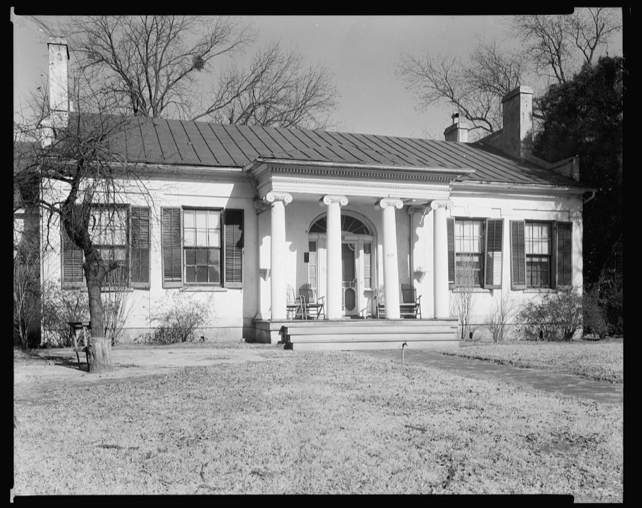
Surveyed structures

22 structures

The vanished settlements of Bibb County, the places these records name that are no longer on the map.
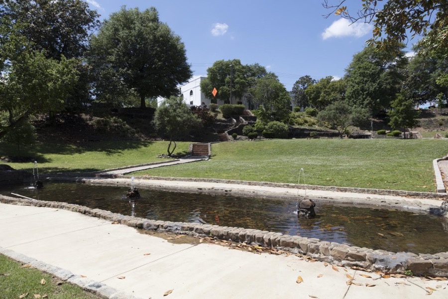
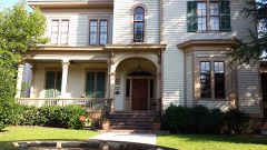
Provenance

  • Topographic sheets. USGS Historical Topographic Map Collection, county index, measured from the bulk metadata.

  • Fire insurance maps. Library of Congress Sanborn collection, faceted to this county.
  • Photographs. Each place queried individually against the Library of Congress Prints and Photographs search.
  • Wildfire. Short, Karen C. 2022. Spatial wildfire occurrence data for the United States, 1992-2020 [FPA_FOD_20221014]. 6th Edition. Fort Collins, CO: Forest Service Research Data Archive. https://doi.org/10.2737/RDS-2013-0009.6 Collected with United States Government funding and usable without additional permissions or fees.
  • Mines and quarries. USGS Mineral Resources Data System (MRDS) https://mrdata.usgs.gov/mrds/ A work of the United States government, no copyright under 17 U.S.C. 105.
  • Storms. NOAA National Centers for Environmental Information, Storm Events Database https://www.ncei.noaa.gov/stormevents/ A work of the United States government, no copyright under 17 U.S.C. 105. Narratives are quoted verbatim from the National Weather Service report and are not edited or summarised.