 Block
From the record
9 National Register listings published here.
Sources: the National Register database, National Park Service
88 topographic sheets and 9 fire insurance atlases across 1 place.
9 National Register listings published here.
Sources: the National Register database, National Park Service
Taken for the Office of War Information and the Farm Security Administration, who photographed the country between 1935 and 1944. Works of United States government photographers, with no known restriction on use. Each opens its catalogue record.
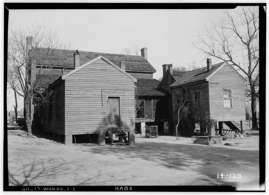
Every property in this county listed on the National Register of Historic Places, with the year it was listed and the federal nomination document.
| Photograph | Property | Type | Listed | Reference |
|---|---|---|---|---|
 | Burke County Courthouse | building | 1980 | 80000980 |
| Girard Elementary School | building | 2021 | 100006735 | |
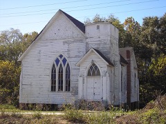 | Haven Memorial Methodist Episcopal Church | building | 1996 | 96000397 |
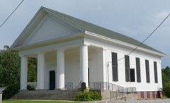 | Hopeful Baptist Church | building | 1993 | 92001734 |
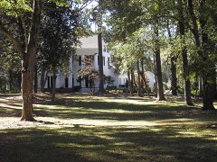 | John James Jones House | building | 1980 | 80000981 |
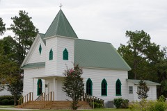 | McCanaan Missionary Baptist Church and Cemetery | building | 2001 | 01000643 |
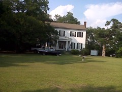 | Sapp Plantation | building | 1980 | 80000979 |
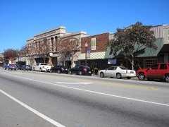 | Waynesboro Commercial Historic District | district | 1993 | 93000496 |
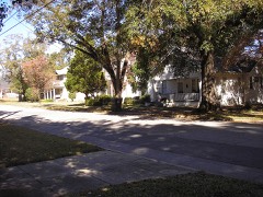 | Waynesboro Historic District | district | 2009 | 09000153 |
Selected from the Digital Public Library of America's 4 image records catalogued for this county. Every one shown here carries a public-domain status or a licence that permits reuse on a site that carries advertising; non-commercial, share-alike and restricted images are excluded. The selection is spread across the county's towns (at most eight per town), so no single institution's bulk upload crowds out the rest. Each opens the holding library's record, and the complete set at the Digital Public Library of America is one click away.
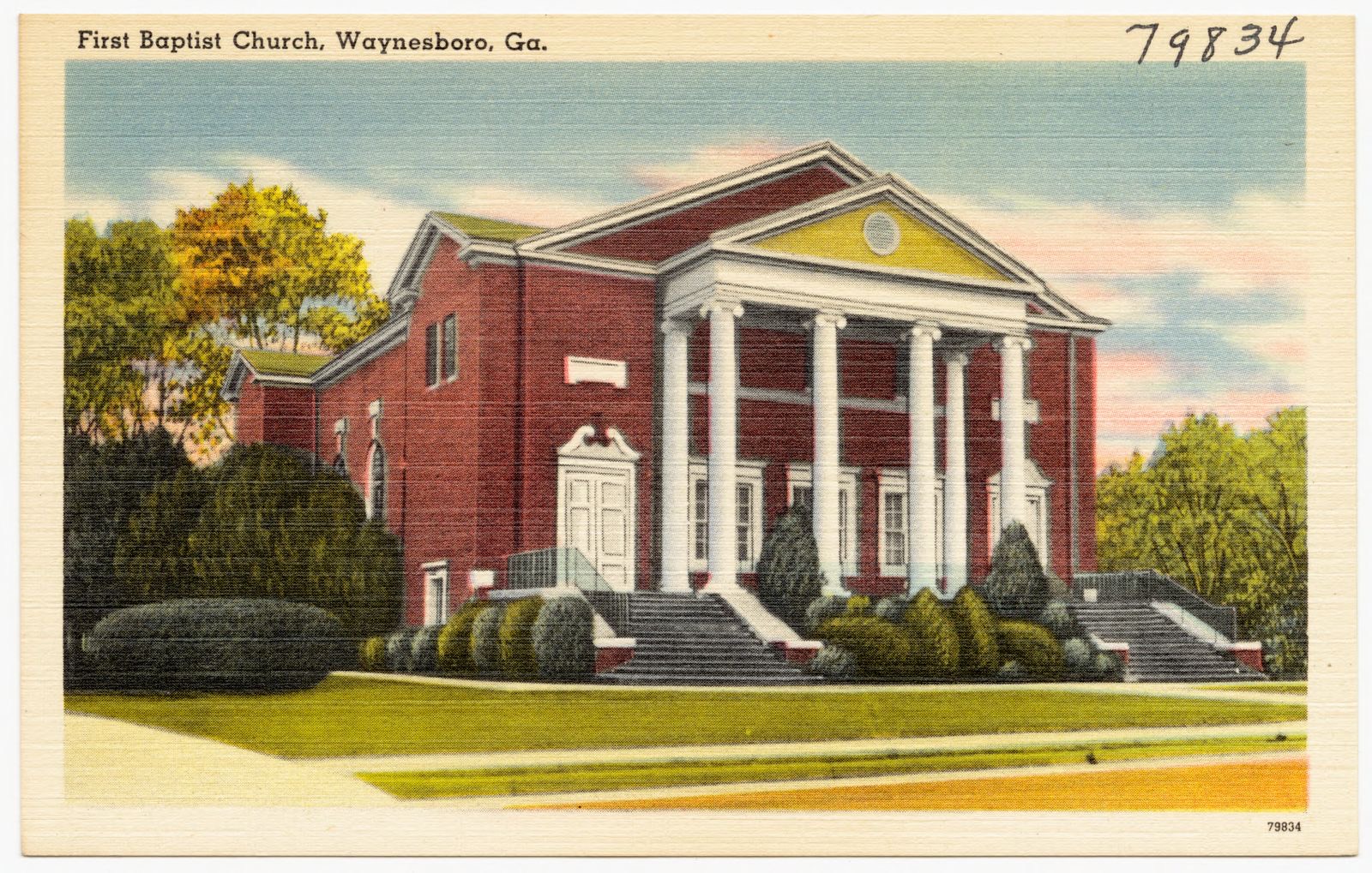
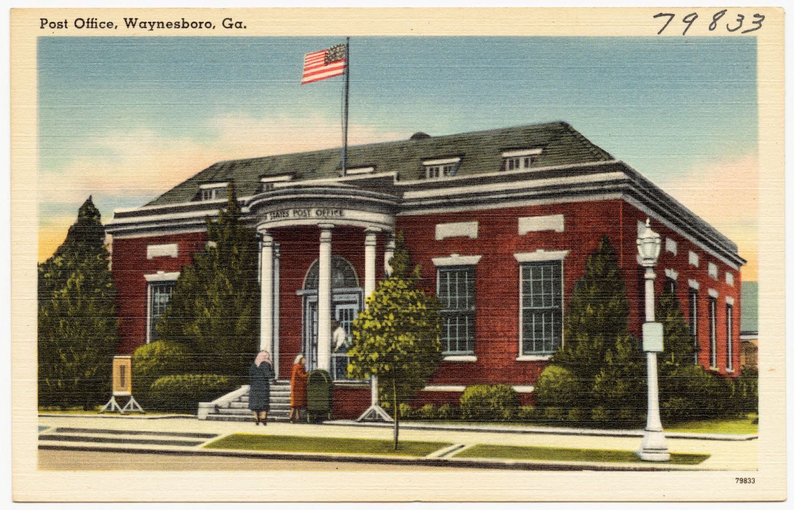
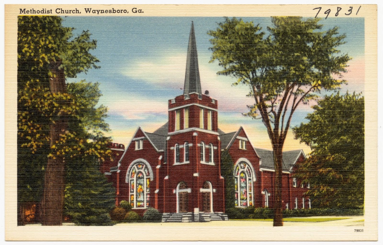
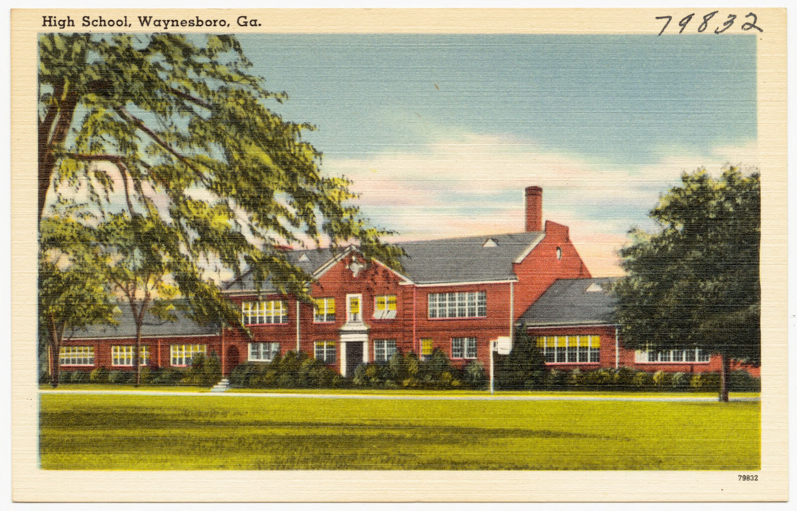
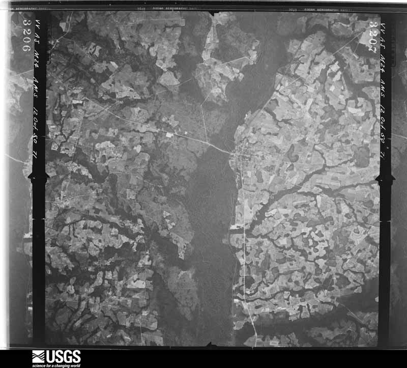
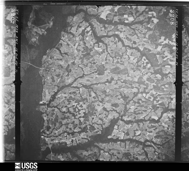
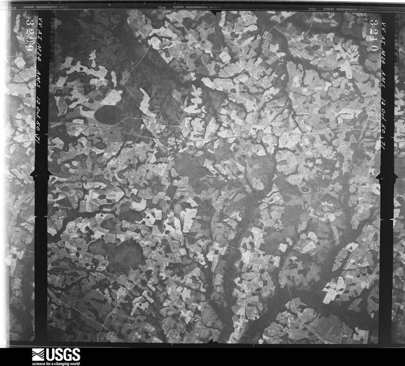
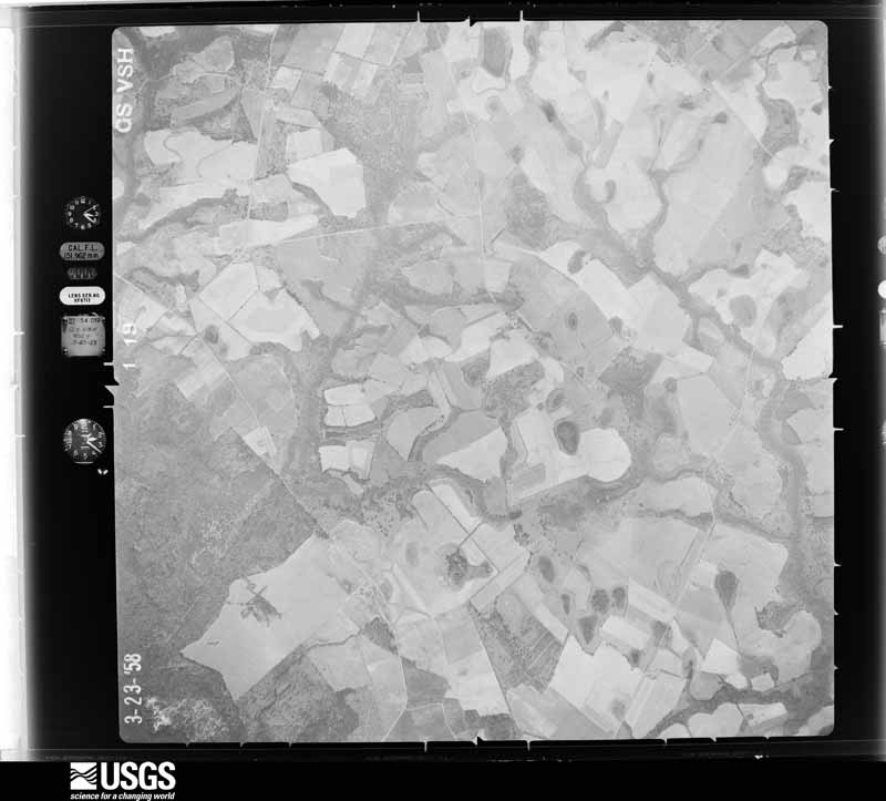
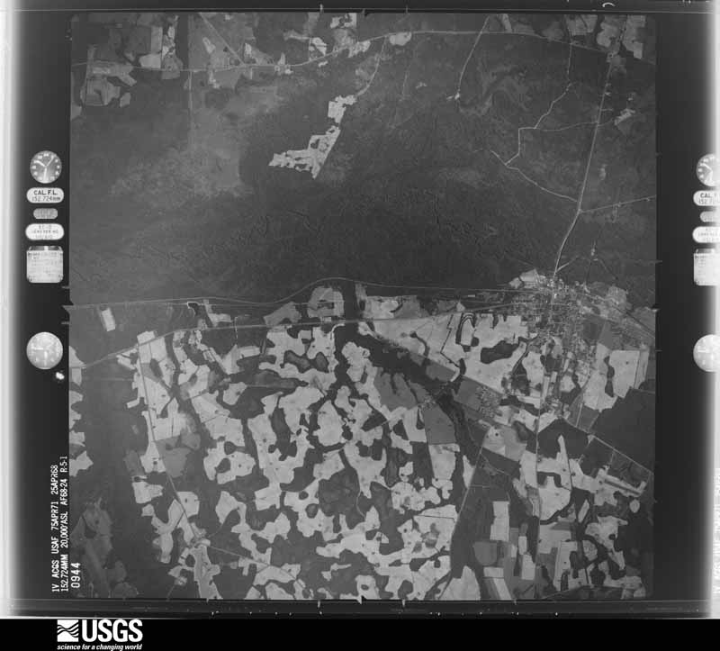
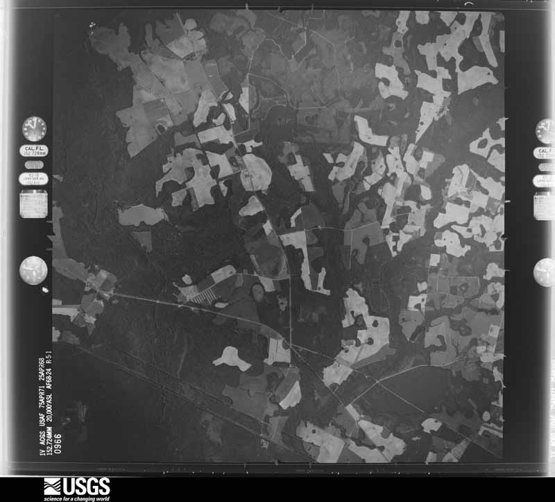
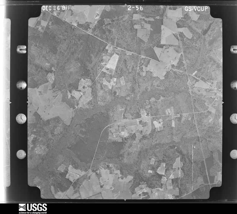
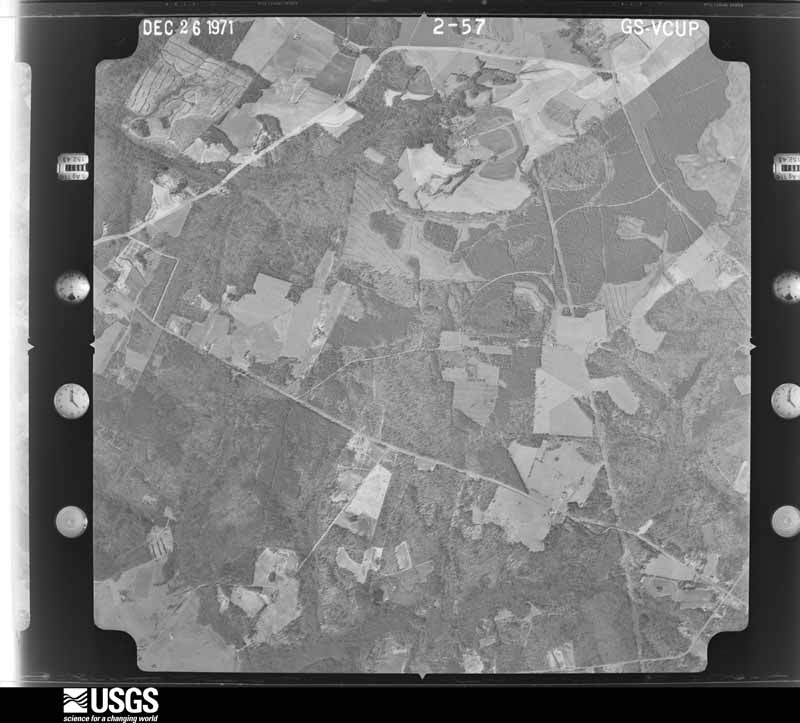
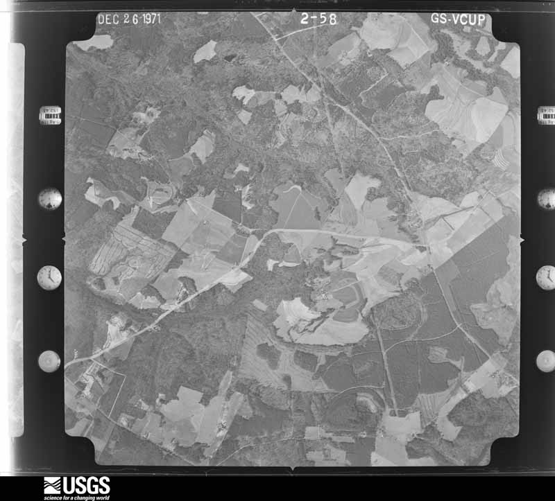
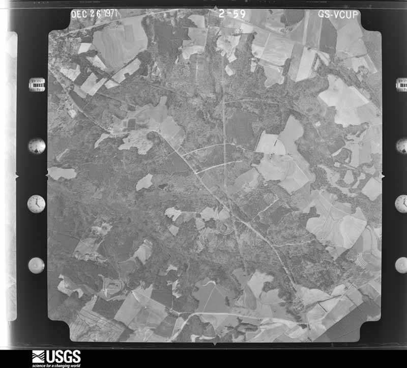
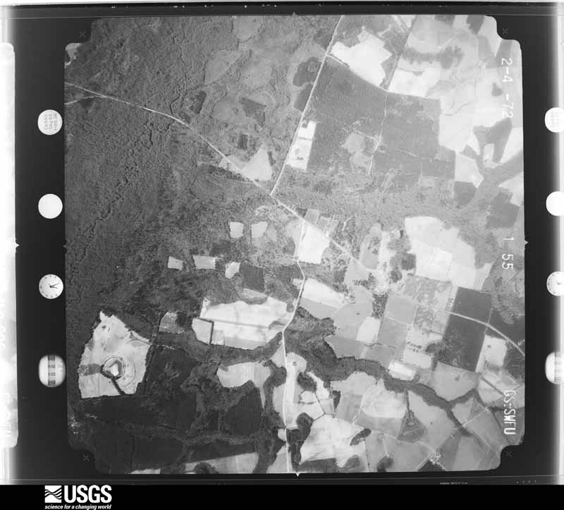
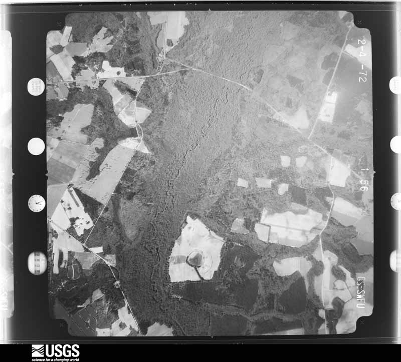
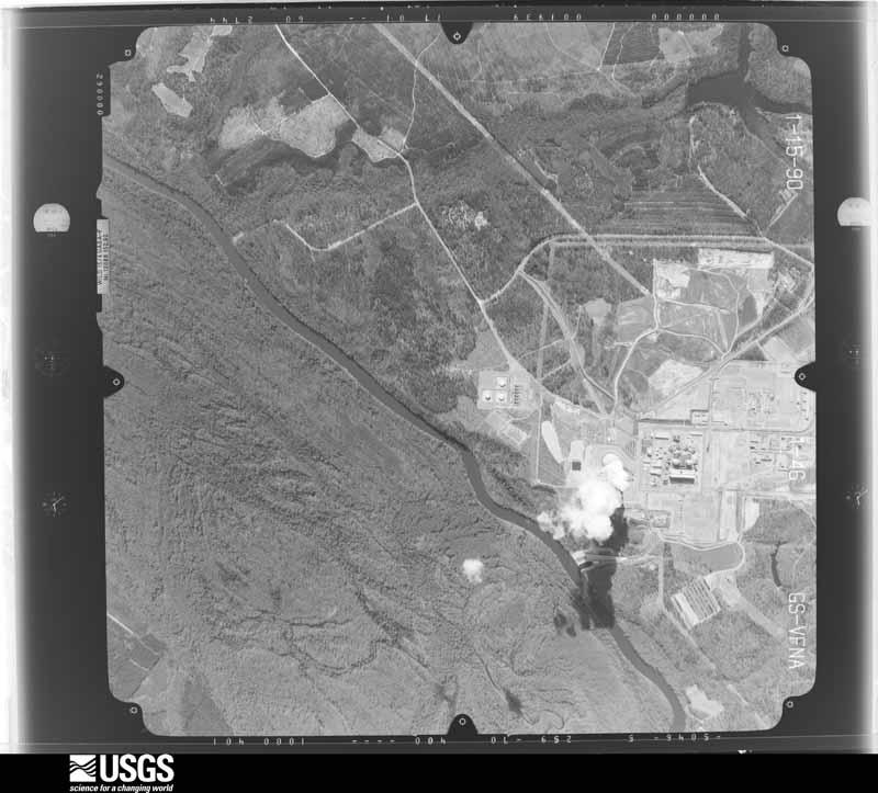
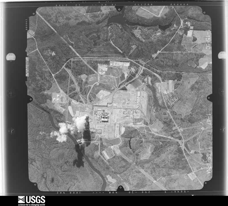
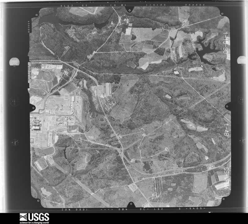
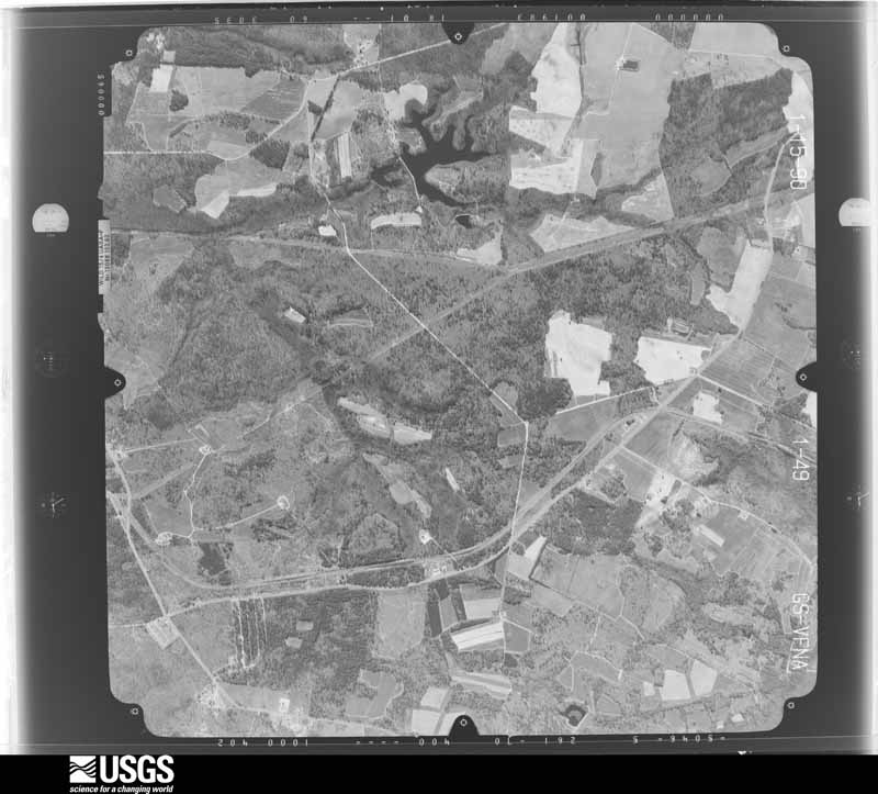
Flown by the U.S. Geological Survey between 1937 and 1989, the Aerial Photo Single Frames collection is the definitive mid-century view of the land: fields, roads and rivers as the camera saw them. The Survey holds 1,372 frames inside the rectangle that bounds this county; the 46 frames below were taken over the county itself, chosen across the decades of flights (at most four a year from that rectangle), so one flight cannot crowd out the rest. The full set is free to browse and download at EarthExplorer under the dataset Aerial Photo Single Frames.

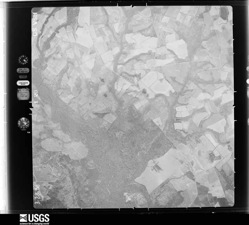
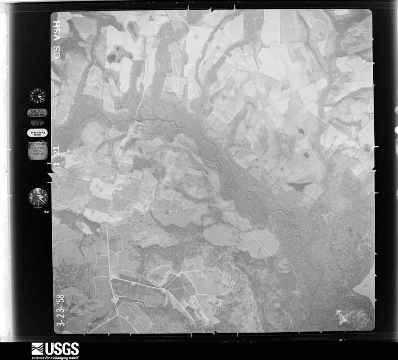
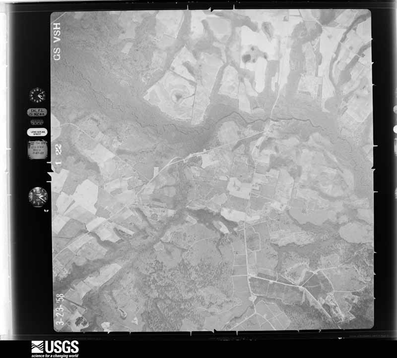
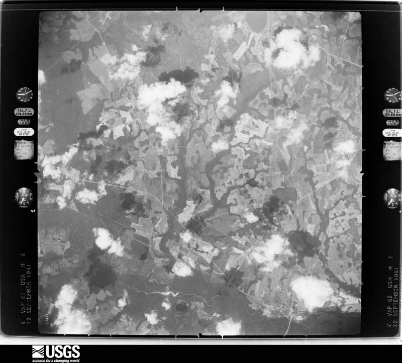
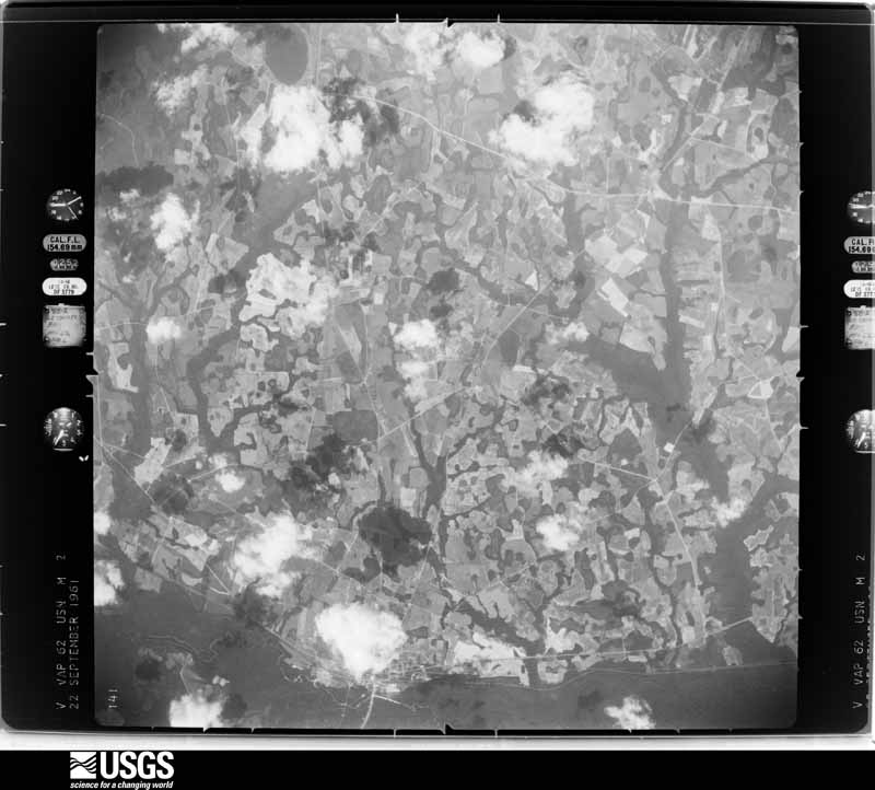
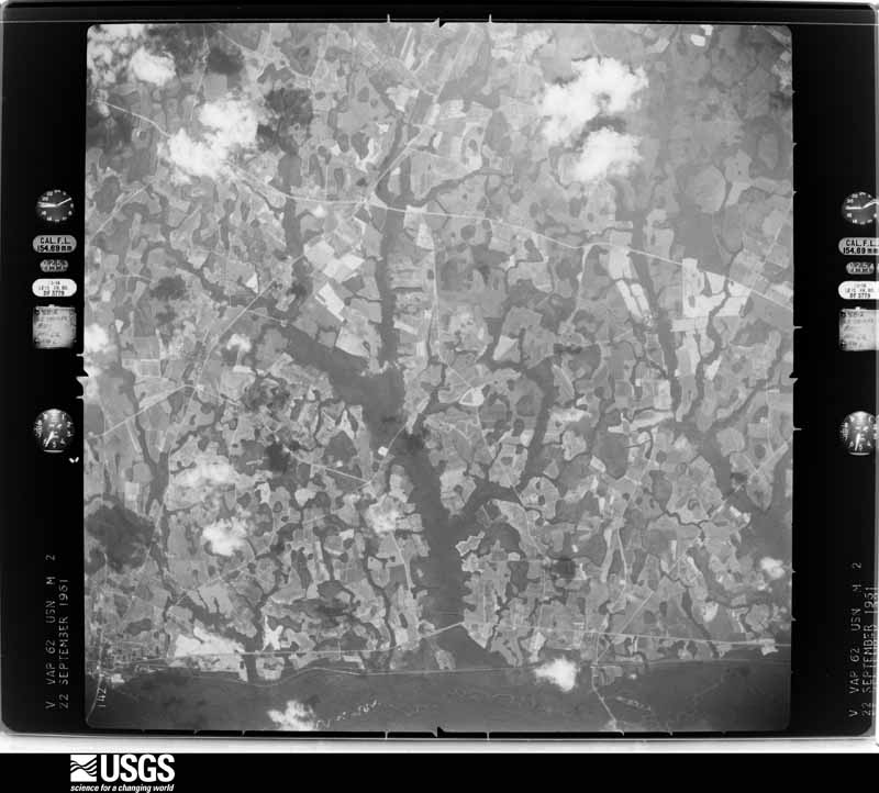
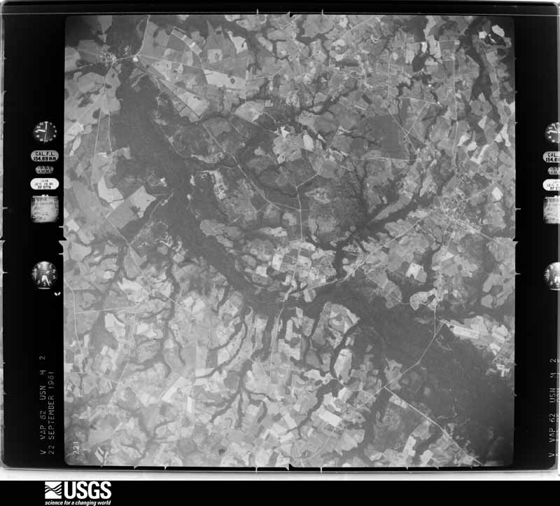
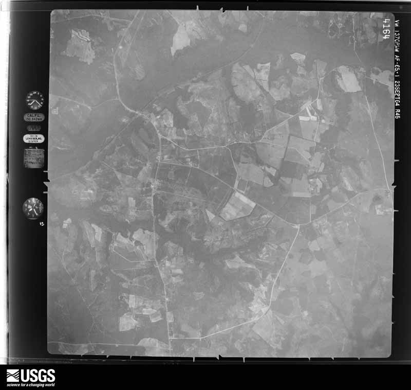
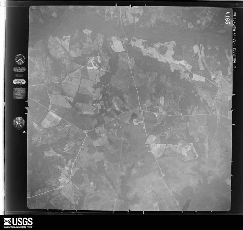
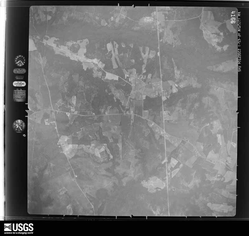
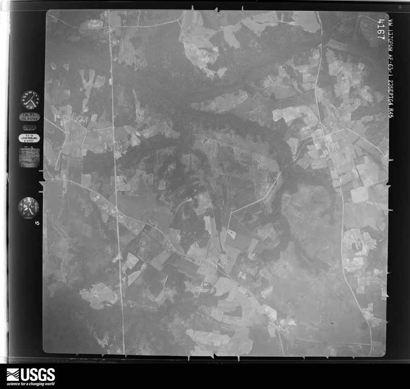
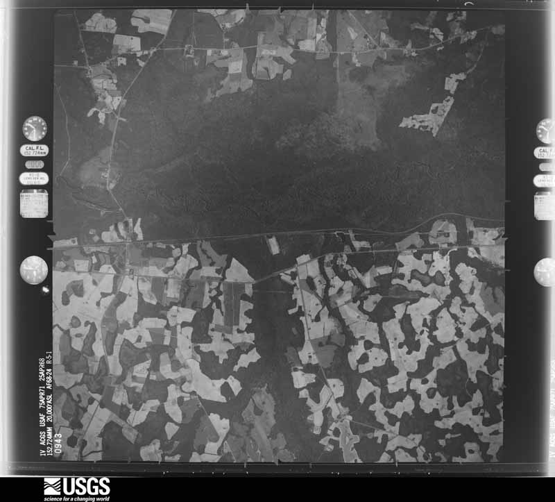

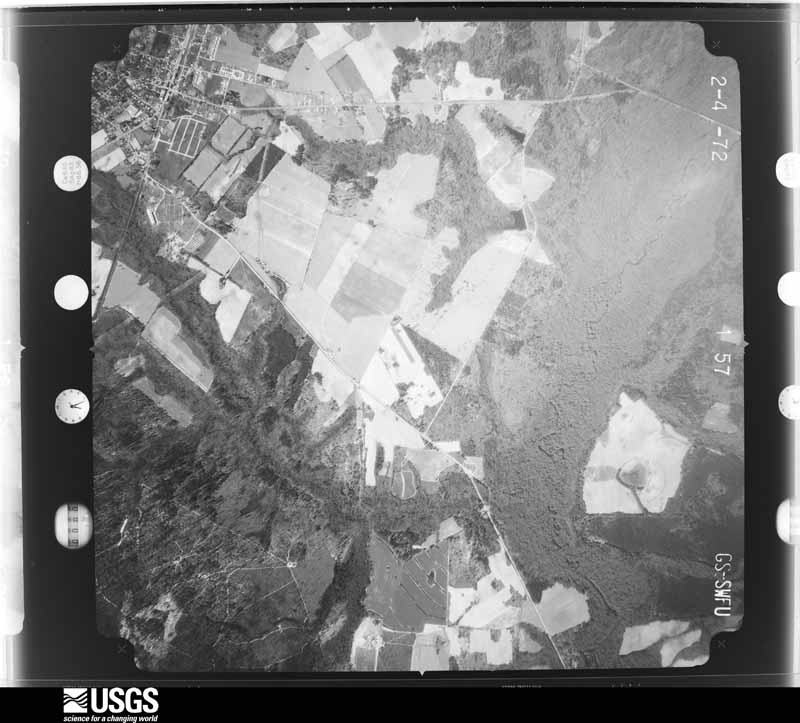
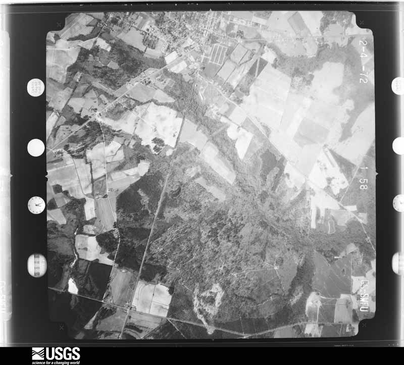
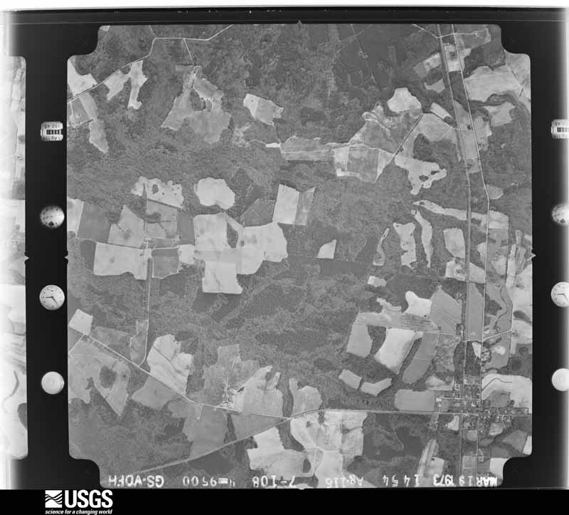
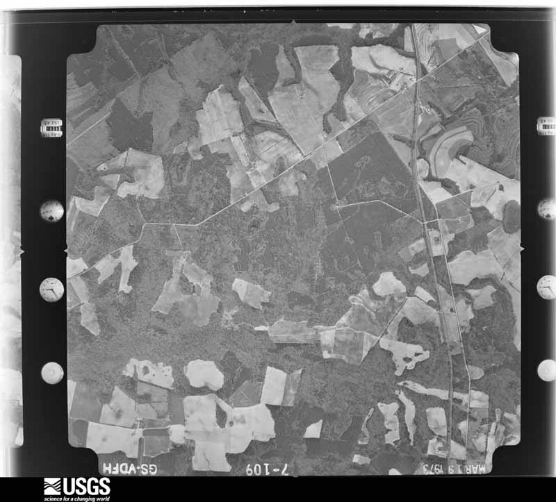
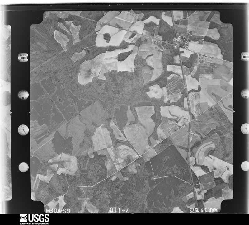
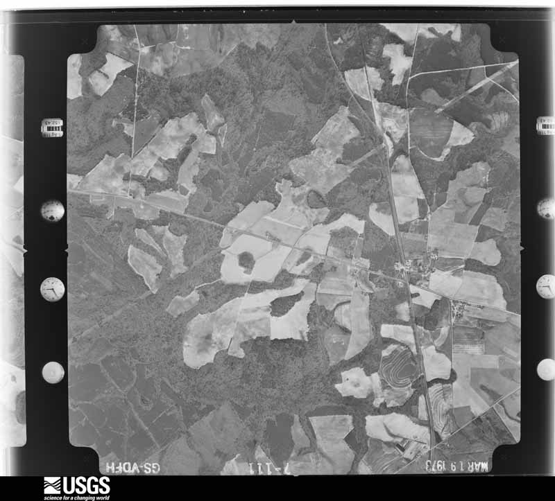
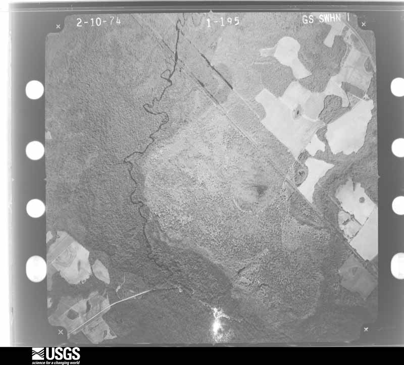
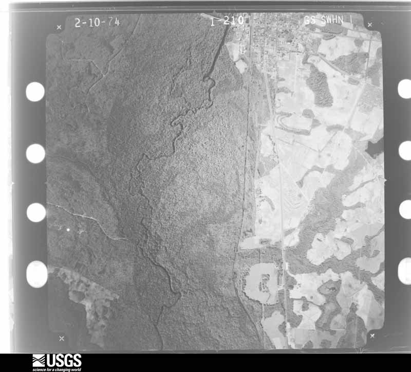
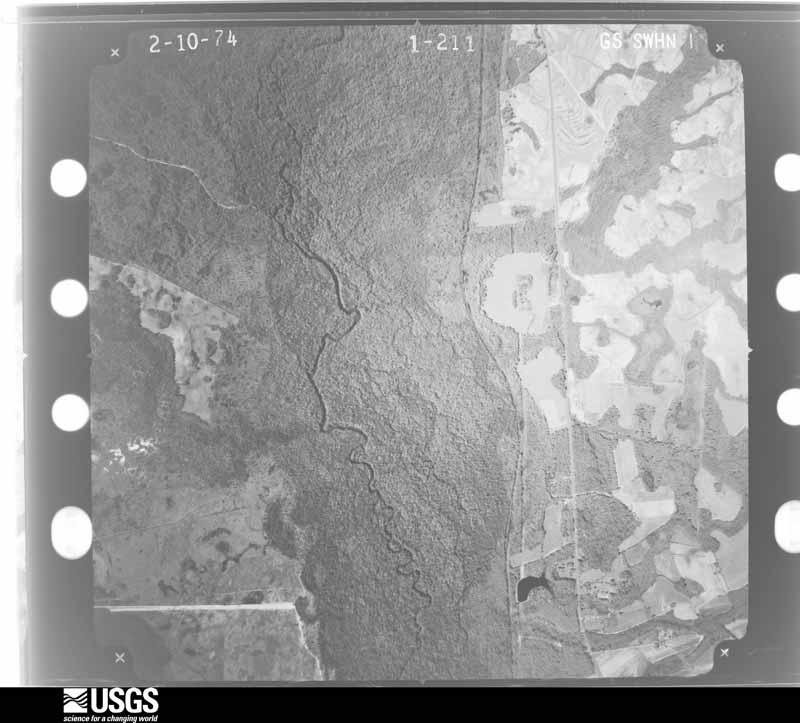
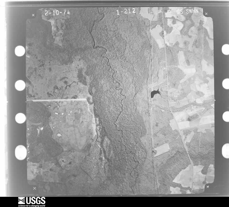




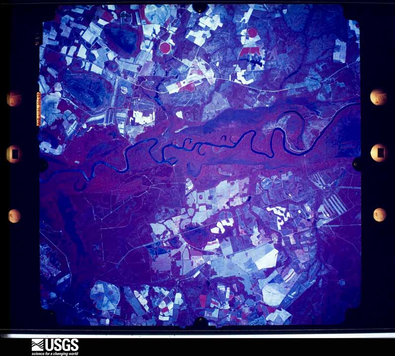
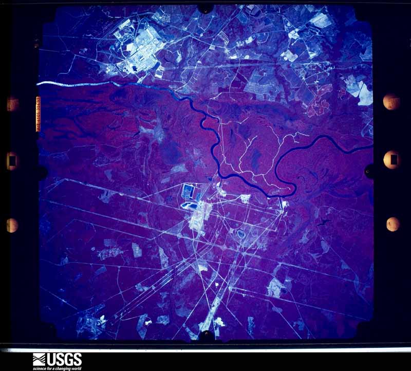
The thermometers that kept this county's weather, and the gages that measured the flow of its streams, as the federal records hold them. The extremes below are measured values from those records, not estimates.
Who lived here in 1950, one enumeration district at a time, as the Census Bureau described each district. Each row opens its official National Archives result, with Population Schedules and ED Maps available there.
Every wildfire the federal occurrence database records inside this county: 1,983 of them, burning about 17,456 acres. 107 started naturally and 413 were recorded as arson. Each settlement page carries the fires within five miles of it.
| Reported cause | Fires |
|---|---|
| Debris and open burning | 1166 |
| Arson/incendiarism | 413 |
| Missing data/not specified/undetermined | 110 |
| Natural | 107 |
| Equipment and vehicle use | 60 |
| Misuse of fire by a minor | 56 |
| Smoking | 52 |
| Recreation and ceremony | 15 |
| Railroad operations and maintenance | 4 |
The five largest, by the area the report gives. Four of them were set deliberately.
| Date | Cause | Size | Reported by | Name on the report |
|---|---|---|---|---|
| 9 March 2000 | Debris and open burning | 482 acres | Georgia Forestry Commission | FY2000-BURKE-069 |
| 3 March 1992 | Arson/incendiarism | 374 acres | Georgia Forestry Commission | not named |
| 4 March 2005 | Arson/incendiarism | 264 acres | Georgia Forestry Commission | not named |
| 15 June 2002 | Debris and open burning | 259 acres | Georgia Forestry Commission | FY2002-BURKE-113 |
| 7 May 2018 | Arson/incendiarism | 239 acres | Georgia Forestry Commission | FY2018BURKE063 |
| 25 May 2006 | Natural | 225 acres | Georgia Forestry Commission | not named |
| 10 February 2008 | Arson/incendiarism | 220 acres | Georgia Forestry Commission | not named |
| 16 March 2013 | Debris and open burning | 208 acres | Georgia Forestry Commission | FY2013-BURKE-052 |
Every settlement page carries the fires within five miles of it - see the settlement index below.
The NOAA Storm Events Database holds 355 reports for this county, causing no deaths, 31 injuries and about $7,858,040 in recorded property damage. Each settlement page carries the reports that name it.
| Kind of event | Reports |
|---|---|
| Thunderstorm Wind | 225 |
| Hail | 72 |
| Tornado | 23 |
| Flash Flood | 20 |
| Heavy Rain | 7 |
| Flood | 4 |
| Lightning | 2 |
| Winter Storm | 2 |
The most serious of them, by death, then injury, then recorded damage. The accounts are quoted exactly as the forecast office filed them.
| When | Event | Place named | Harm | What the report says |
|---|---|---|---|---|
| January 1972 | Tornado (F3) | not stated | 19 hurt, $2,500,000 | no account filed |
| September 1963 | Tornado (F2) | not stated | 5 hurt, $250,000 | no account filed |
| April 2009 | Tornado (EF3) | Torbit Station | 4 hurt, $3,000,000 | An supercell tornado tracked across Burke county and severely damaged several homes and buildings. Numerous trees and powerlines were damaged. There was one critical injury and several other minor injuries. |
| July 2000 | Thunderstorm Wind | Girard | 1 hurt | EM reported roof torn off trailer, trees down, and a shed blown onto a vehicle slightly injuring one person on River rd. |
| August 1999 | Thunderstorm Wind | Waynesboro | 1 hurt | EPD reported trees fell on car with one injury. |
| June 1990 | Thunderstorm Wind | not stated | 1 hurt | no account filed |
| April 2011 | Thunderstorm Wind | Waynesboro | $750,000 | Numerous trees and powerlines down. Severe Damage to two manufacturing plants on the north side of town and trees on several homes. |
| April 1983 | Tornado (F0) | not stated | $250,000 | no account filed |
| November 2011 | Tornado (EF1) | Shell Bluff | $200,000 | NWS storm survey found a strong EF1 tornado touched down in the woods taking down numerous trees, damaging a couple of homes, a garage, a couple of outbuildings, and turned over an RV. |
| March 2013 | Tornado (EF1) | Rosier | $120,000 | An EF1 Tonado touched down about 12 miles southwest of Waynesboro taking down trees, severely damaging field irrigation systems and destroying cattle barns and heavy equipment barns at several locations. A few cattle were killed and others injured. |
| March 2008 | Tornado (EF1) | Shell Bluff | $100,000 | Storm survey found numerous trees and powerlines down along path. One home suffered moderate damage from large hail and the tornado. Windows were broken from the hail and siding was severely damaged. Shingles and a small part of the roof were gone. Several mobile homes had minor to moderate damage. |
| October 2022 | Flash Flood | Waynesboro | $75,000 | Waynesboro Fire Chief reported about 5 to 7 homes were flooded with about a half foot of water or less. This included some apartments on Martin Luther King Jr Dr and Magnolia Acres and some homes along Waters St. Several roads were flooded and closed. About 8 vehicles were flooded. 2 people were rescued from a flooded compact car at E 7th St and Fulcher St. No injuries. |
| March 2008 | Hail | Shell Bluff | $60,000 | One home suffered moderate damage from large hail and a tornado. Windows were broken from the hail and siding was severely damaged. |
| May 2008 | Tornado (EF0) | Vidette | $56,000 | Storm survey found numerous trees and a few powerlines down along a path in rural Burke county. One home had trees down on an out building and minor damage was done to the back of an abonded church. Damage was also done to several wheat fields. |
| July 2015 | Thunderstorm Wind | Waynesboro | $54,000 | EM reported some trees down along Hwy 24 a couple miles west of Waynesboro and also in Waynesboro. A car port at a gas station/convenience store was badly damaged, a couple trees fell on homes and one fell on a vehicle. |
| July 2012 | Lightning | Waynesboro | $40,000 | Waynesboro Fire Dept. reported two fires from lightning strikes. One in the 400 block of 4th Street and the other on the 700 block of East 7th Street. |
| August 2012 | Thunderstorm Wind | Waynesboro | $32,000 | Sheriff and Emergeny Manager reported many trees down from Leonard Circle in Waynesboro to Barrett Plantation Road just north of Waynesboro. Some of the trees fell on homes doing minor damage. |
| September 2020 | Flash Flood | Waynesboro | $25,000 | Flash flooding reported, with numerous roads flooded and impassable roads throughout the city of Waynesboro and vicinity. Locations of flooded roadways included Barron St, Perry St, Shadrack St, N. Liberty St, Barron St, Herndon Rd, Burke Veterans Pkwy near Davis Rd, E 7th St, with a roadway washout on Hwy 56 S just south of Edmund Burke Academy. Vehicles were flooded with stranded motorists at Council St at Perry St, Shadrack St near First Baptist Church, and N Liberty St between 9th St and Williams St. Some water entered Brentwood Nursing Home on Brentwood Dr. Water came close to homes near Spring Valley Rd and Lake Bluff Rd. |
| March 2003 | Hail | Waynesboro | $25,000 | Public called and reported 3/4 to 1 inch hail. Several cars had been damaged. |
| April 1984 | Tornado (F1) | not stated | $25,000 | no account filed |
| December 2005 | Tornado (F1) | Midville | $15,000 | The Emergency Manager and Georga Power reported an F1 touched down on Davis Bennett road and took down some trees, powerlines, and blew the roof off an uninhabited brick home. Trees and powerlines were also down on Herndon road. |
| February 2014 | Thunderstorm Wind | Waynesboro Burke Arp | $14,000 | Jefferson Electric reported a couple of trees and powerlines down on Hwy 24 southeast of Waynesboro causing a fire along the road. |
| March 2013 | Thunderstorm Wind | Waynesboro Burke Arp | $12,000 | Dispatch reported numerous trees down near Herndon Road. |
| June 2010 | Thunderstorm Wind | Waynesboro | $12,000 | Sheriff reported trees down on Thompson Bridge, Creek, and Seven Oaks roads. |
| February 2020 | Flood | Gough | $10,000 | Burke Co Emergency Mgmt and broadcast media reported several roads closed across central, southern, and western Burke Co, mainly to the south and southwest of Waynesboro, due to small stream flooding. Most of the flooded roads were located where the roads crossed Buckhead Creek, Eightmile Creek, Beaverdam Creek, Rosemary Creek, and Mill Creek, all tributaries of the already flooded Ogeechee River downstream. |
| November 2011 | Thunderstorm Wind | Greens Cut | $10,000 | Emergency Manager reported trees down along Hwy 80 north of Waynesboro and an outbuilding also blown over. |
| September 2015 | Thunderstorm Wind | Old Sardis | $8,000 | Sheriff reported trees and powerlines down on Hwy 23 near Sardis. |
| July 2015 | Thunderstorm Wind | Sardis | $8,000 | Dispatch reported powerlines down in Sardis. |
| March 2013 | Thunderstorm Wind | Waynesboro Burke Arp | $8,000 | Sheriff reported trees down along Dilane Plantation Road. |
| March 2013 | Thunderstorm Wind | Vidette | $6,000 | Burke county official reported multiple trees down on Hwy 305 near Vidette. |
| March 2013 | Thunderstorm Wind | Girard | $6,000 | DOT reported several trees down around the Gerard area. |
| July 2012 | Thunderstorm Wind | Waynesboro Burke Arp | $6,000 | Sheriff dispatch reported several trees down along Hwy 56 between Waynesboro and Midville. |
| September 2024 | Tornado (EF0) | Vidette | $5,000 | A brief tornado touched down just east of Vidette, GA on 9/26/24.|This was in association with the initial outer bands of Hurricane|Helene. The tornado is radar/EM confirmed as the widespread|damage to trees and infrastructure in Burke County, GA made it|impossible to survey this tornado after the fact. The tornado|produced tree and power line damage along its path before lifting|just north of State Route 305. |
| September 2024 | Flash Flood | Magruder | $5,000 | Hwy 305 was closed from Vidette to Midville due to flooding. Floodwaters pushed a vehicle off the roadway. |
| May 2012 | Thunderstorm Wind | Waynesboro | $5,000 | Fire chief reported a rotten tree toppled a tree onto a home causing minor damage to the roof. |
| April 2009 | Tornado (EF0) | Keysville | $5,000 | An EF0 touched down just east northeasts of Keysville and took down many trees. |
| May 2008 | Tornado (EF0) | Vidette | $5,000 | NWS Storm Survey from Atlanta office tracked an EF0 tornado across Jefferson county into Burke County. Burke Emergency Manager also confirmed trees and powerlines down along southeast of Vidette on Wyatt Place road between highways 24 and 305. |
| June 1994 | Thunderstorm Wind | Waynesboro | $5,000 | Numerous large trees were downed by thunderstorm winds. |
| June 1994 | Thunderstorm Wind | Waynesboro | $5,000 | Several large trees were downed along U.S. Highway 25. |
| June 1994 | Thunderstorm Wind | Sardis | $5,000 | Thunderstorm winds downed several large trees in Sardis. |
| June 1994 | Thunderstorm Wind | Waynesboro | $5,000 | Several large trees and power lines were downed near the intersection of Georgia Highways 56 and 23. |
| April 1993 | Thunderstorm Wind | Midville | $5,000 | Several large pine trees snapped half way up from base in Midville. |
| April 1997 | Thunderstorm Wind | Sardis | $5,000 | no account filed |
| September 2002 | Tornado (F0) | Waynesboro | $4,500 | A small F0 briefly touched down at 153 Eagle Pass Court and destroyed 1 metal shed and did minor damage to 2 mobile homes. |
| June 2014 | Thunderstorm Wind | Sardis | $4,000 | Georgia Power reported powerlines down along Hwy 24 and Tom Bargeron Road near Sardis. |
| June 2014 | Thunderstorm Wind | Old Sardis | $4,000 | Georgia Power reported powerlines down in the town of Sardis. |
| June 2013 | Thunderstorm Wind | Sardis | $4,000 | Sheriff reported several trees down on Giles Street and Hwy 23 in Sardis. |
| July 2012 | Thunderstorm Wind | Alexander | $4,000 | Sheriff dispatch reported several trees down around the county. |
| July 2012 | Thunderstorm Wind | Greens Cut | $4,000 | EM reported trees down on Hwy 23 and GA 56. |
| June 2011 | Thunderstorm Wind | Shell Bluff | $4,000 | Sheriff reported trees down along Hwys 23 and 80 east of Waynesboro. |
| June 2011 | Thunderstorm Wind | Alexander | $4,000 | Sheriff reported trees down along the Thompson Bridge road area. |
| April 2011 | Thunderstorm Wind | Keysville | $4,000 | Dispatch reported powerlines down in the Keysville area with outages. |
| July 2010 | Thunderstorm Wind | Shell Bluff | $4,000 | Sheriff reported trees down near the intersection of hwys 23 and 80. |
| July 2010 | Flash Flood | Greens Cut | $4,000 | Sheriff reported heavy rain flooding streets and other low lying areas. Water was up to 4 feet deep in low lying areas. Streams and ditches in the area also flooded over their banks. |
| July 2010 | Thunderstorm Wind | Greens Cut | $4,000 | DOT reported trees down on secondary roads. |
| May 2009 | Flash Flood | Waynesboro | $4,000 | Fire Dept. reported hwy 24 near Rosedale road closed due to flooding and high water. Half a mile of hwy 24 was closed as well as secondary roads a few miles west to northwest to north of Sardis. |
| June 2009 | Thunderstorm Wind | Waynesboro | $4,000 | SKYWARN spotter reported trees down in the Greens Cut Community and on hwy 56. |
| September 2015 | Thunderstorm Wind | Keysville | $3,000 | Sheriff reported trees down on George Perkins Road northwest of Waynesboro. |
| August 2015 | Thunderstorm Wind | Gough | $3,000 | Jefferson Electric reported power outages from large tree branches knocking out powerlines. |
| August 2015 | Thunderstorm Wind | Alexander | $3,000 | Jefferson Electric reported power outages from large tree branches knocking out powerlines near Alexander. |
The Survey's mineral resources record lists 1 working inside this county. It is closed or unrecorded. Each settlement page carries the workings within five miles of it.
| Commodity | Workings |
|---|---|
| Sand and Gravel, Construction | 1 |
The least common of them first, because a county's hundredth gravel pit says nothing its first ten did not.
| Where | Site | Commodity | Status | Recorded |
|---|---|---|---|---|
| Saxon Pit | Sand and Gravel, Construction | Occurrence | Sedimentary |
Named settlements recorded in the Geographic Names Information System, each with the topographic sheets covering it. Villages, hamlets and abandoned places alike. Each is shown with the nearest named watercourse or landform and the survey quadrangle it falls on. The 1 place that was also surveyed for fire insurance comes first, with the number of atlases and photographs held for them.
Waynesboro census division · 30830 · On Maple Branch · Waynesboro quadrangle
15 sheets, 1919 to 1988
Fire insurance: 9 atlases
Waynesboro census division · 30830 · Idlewood quadrangle
16 sheets, 1920 to 1982
No longer a settlement
Sardis census division · 30456 · Sardis quadrangle
15 sheets, 1920 to 1981
No longer a settlement
Keysville census division · 30816 · On Little Brushy Creek · Keysville quadrangle
15 sheets, 1919 to 1988
No longer a settlement
Waynesboro census division · 30816 · Waynesboro quadrangle
15 sheets, 1919 to 1988
No longer a settlement
Midville census division · 30441 · On Clear Spring Creek · Colemans Lake quadrangle
7 sheets, 1957 to 1988
Greens Cut census division · 30830 · Shell Bluff Landing quadrangle
17 sheets, 1920 to 1982
Girard census division · 30426 · Near Potlikker Hill · Millett quadrangle
16 sheets, 1920 to 1982
Keysville census division · 30816 · On Palmer Branch · Keysville quadrangle
15 sheets, 1919 to 1988
Keysville census division · 30816 · Keysville quadrangle
15 sheets, 1919 to 1988
No longer a settlement
Sardis census division · 30456 · On Hills Branch · Hilltonia quadrangle
17 sheets, 1920 to 1981
Midville census division · 30441 · On Clear Spring Creek · Colemans Lake quadrangle
7 sheets, 1957 to 1988
No longer a settlement
Girard census division · 30426 · Near Potlikker Hill · Millett quadrangle
16 sheets, 1920 to 1982
Midville census division · 30441 · On Mill Creek · Scotts Corner quadrangle
7 sheets, 1957 to 1988
Greens Cut census division · 30830 · By Shell Bluff · Shell Bluff Landing quadrangle
17 sheets, 1920 to 1982
Keysville census division · 30816 · Keysville quadrangle
15 sheets, 1919 to 1988
The vanished settlements of Burke County: the places named above that are no longer on the map.
15 topographic sheets and 9 fire insurance atlases, 1885 to 1937
The complete index, with nothing left out. Each of these is a separate record with its own page: a federal survey report, or the case file that argued a property on to the National Register. Both are public domain and reproduced word for word.
The vanished settlements of Burke County, the places these records name that are no longer on the map.