 Block
From the record
3 National Register listings published here.
Sources: the National Register database, National Park Service
45 topographic sheets cover 18 settlements here, and 3 properties are on the National Register of Historic Places.
3 National Register listings published here.
Sources: the National Register database, National Park Service
Taken for the Office of War Information and the Farm Security Administration, who photographed the country between 1935 and 1944. Works of United States government photographers, with no known restriction on use. Each opens its catalogue record.
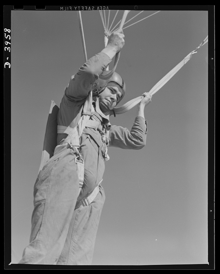


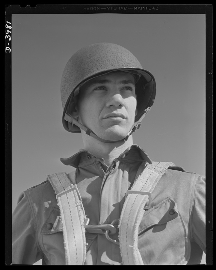
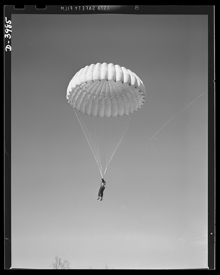
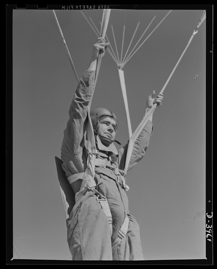

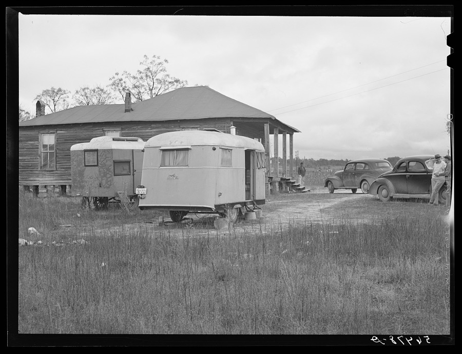
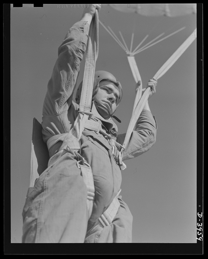

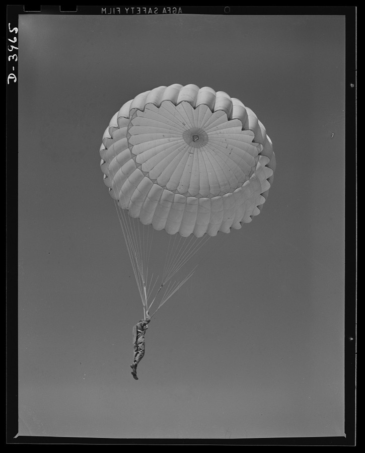

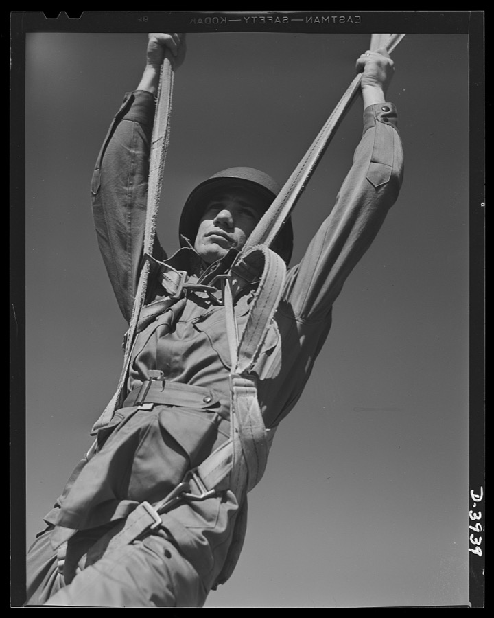
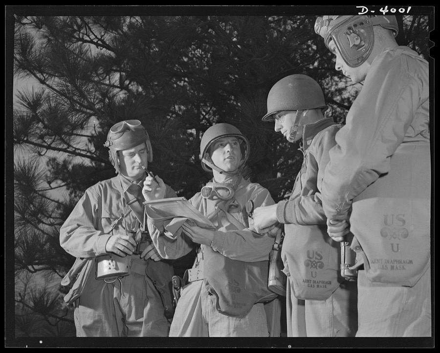








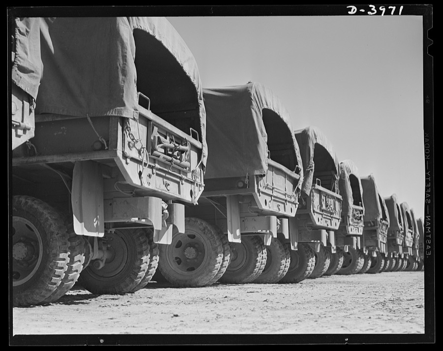



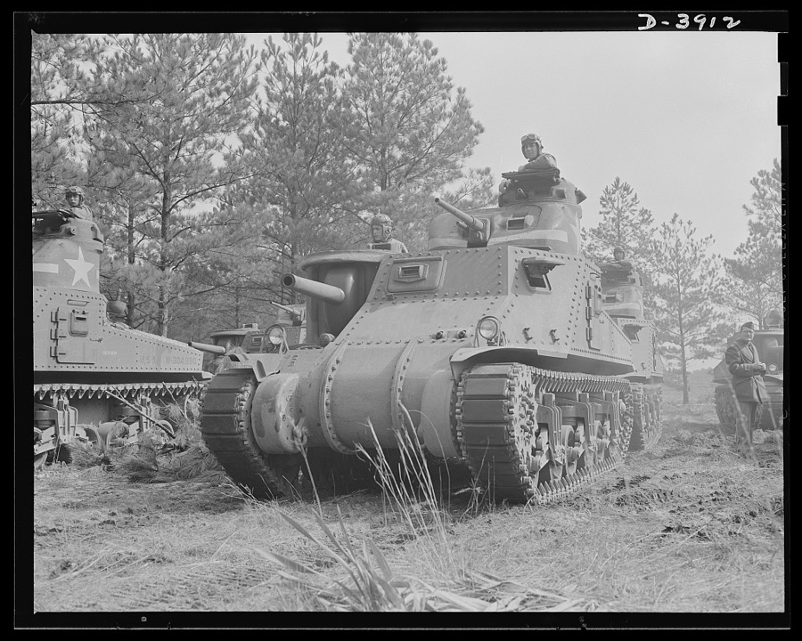

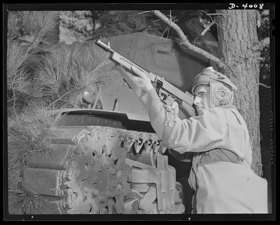
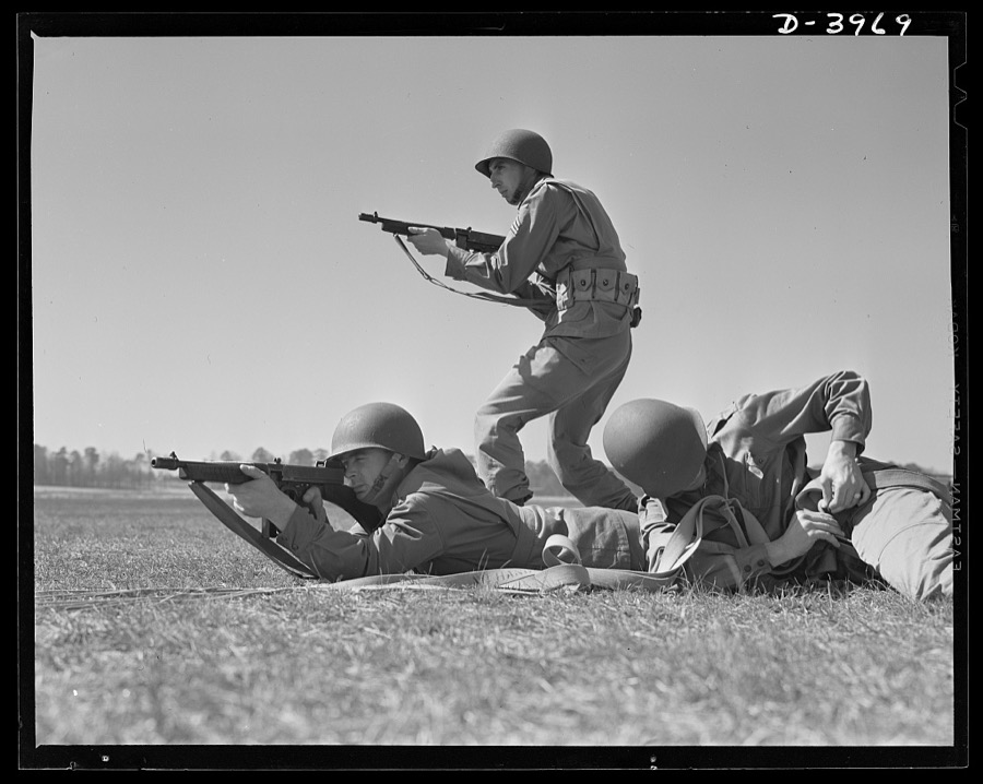
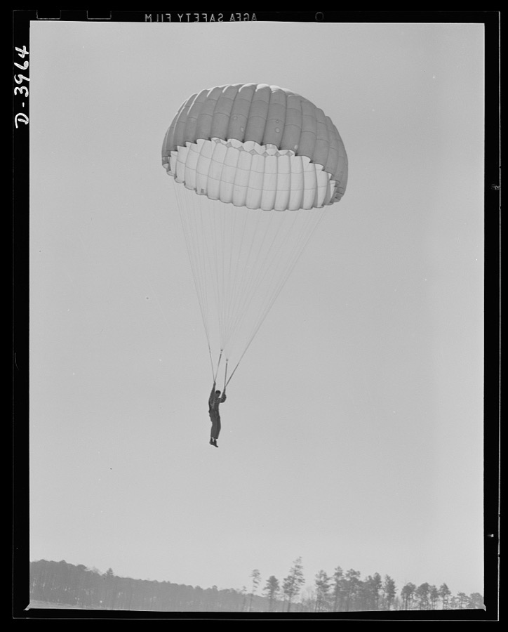



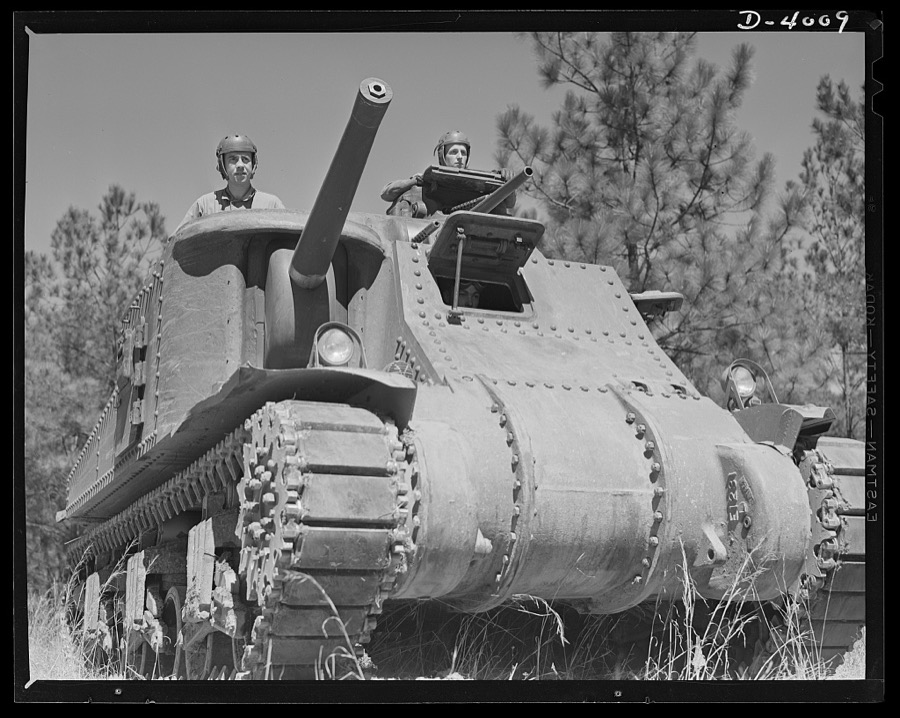


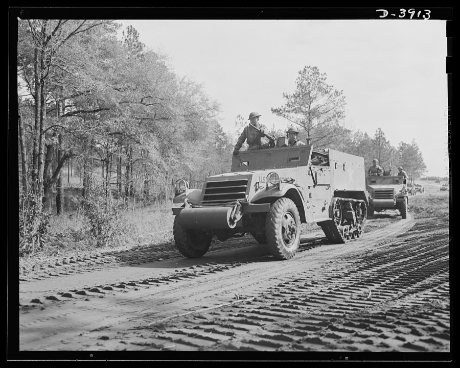


Every property in this county listed on the National Register of Historic Places, with the year it was listed and the federal nomination document.
| Photograph | Property | Type | Listed | Reference |
|---|---|---|---|---|
 | Chatahoochee County Jail | building | 1986 | 86000368 |
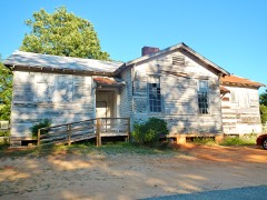 | Cusseta Industrial High School | building | 2011 | 11000184 |
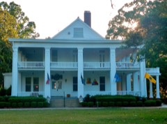 | Riverside | building | 1971 | 71000272 |
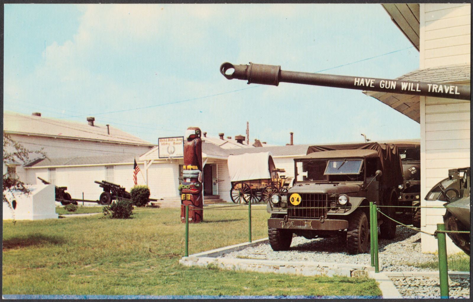
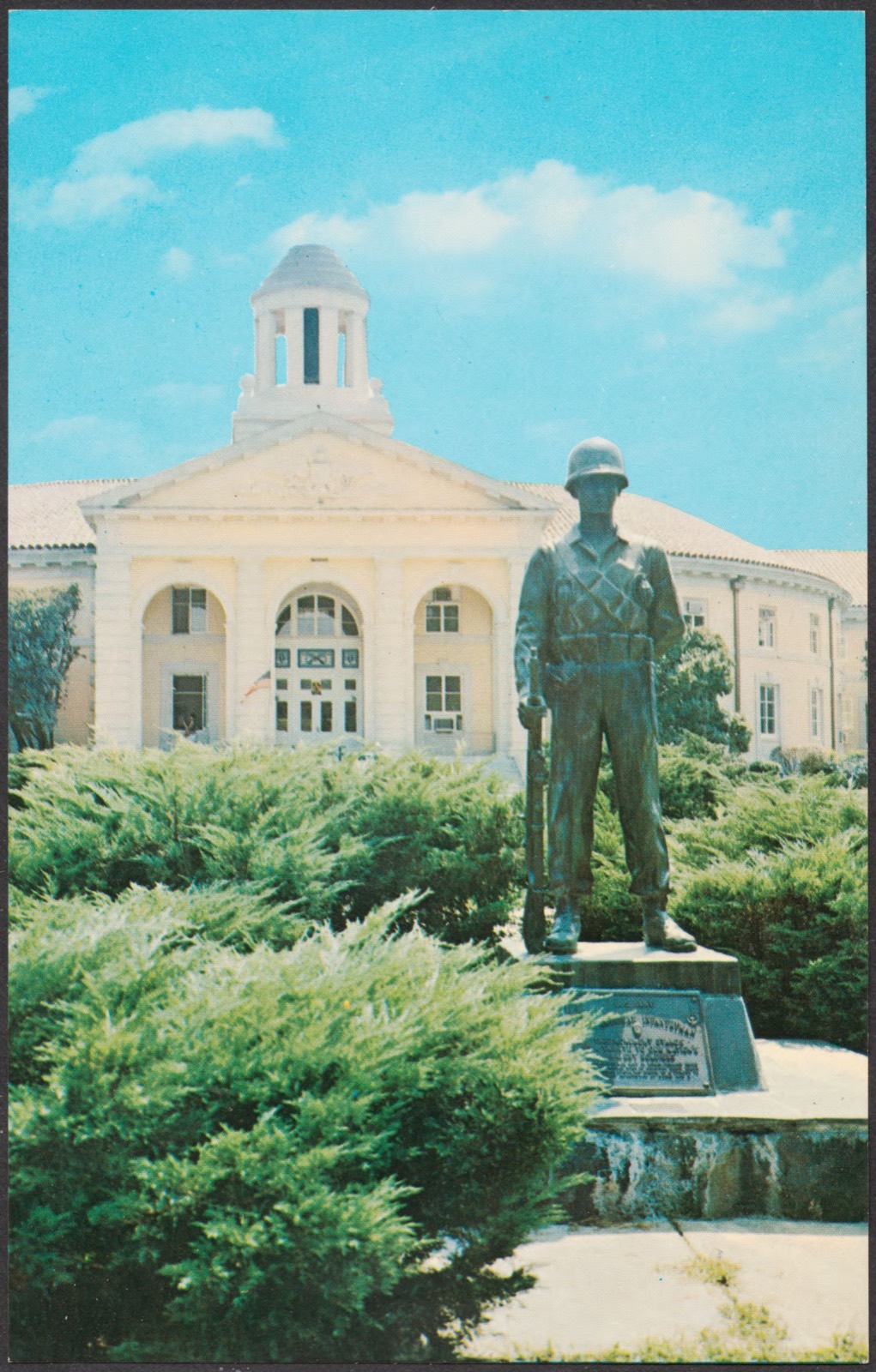
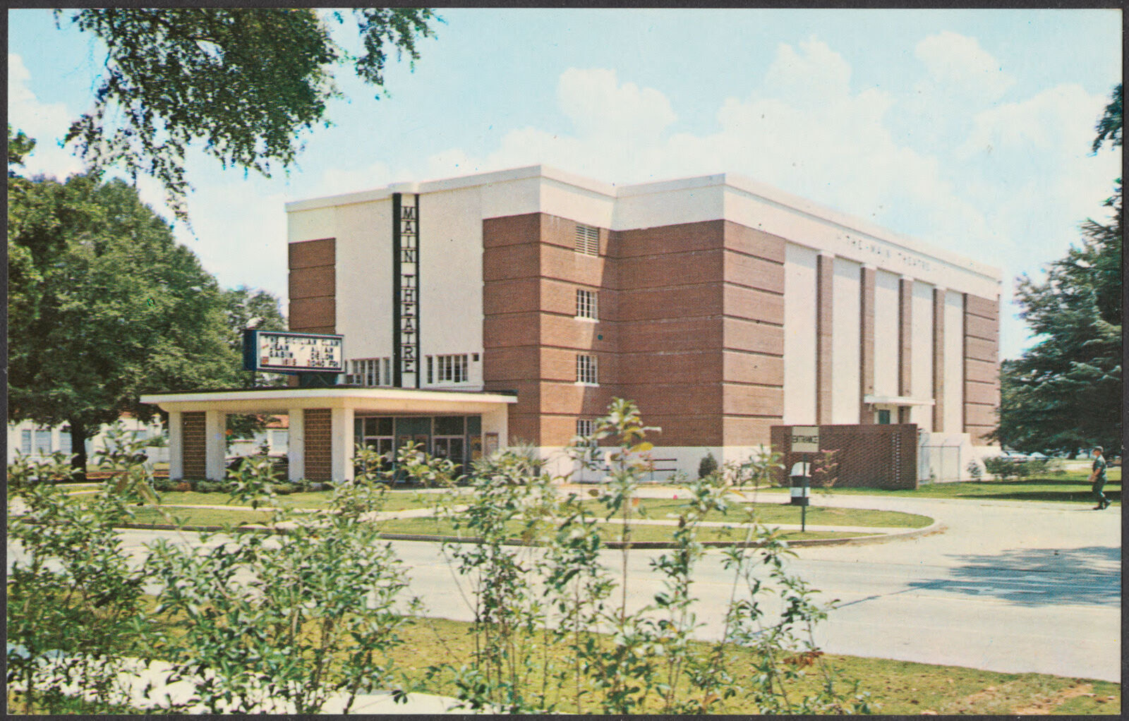
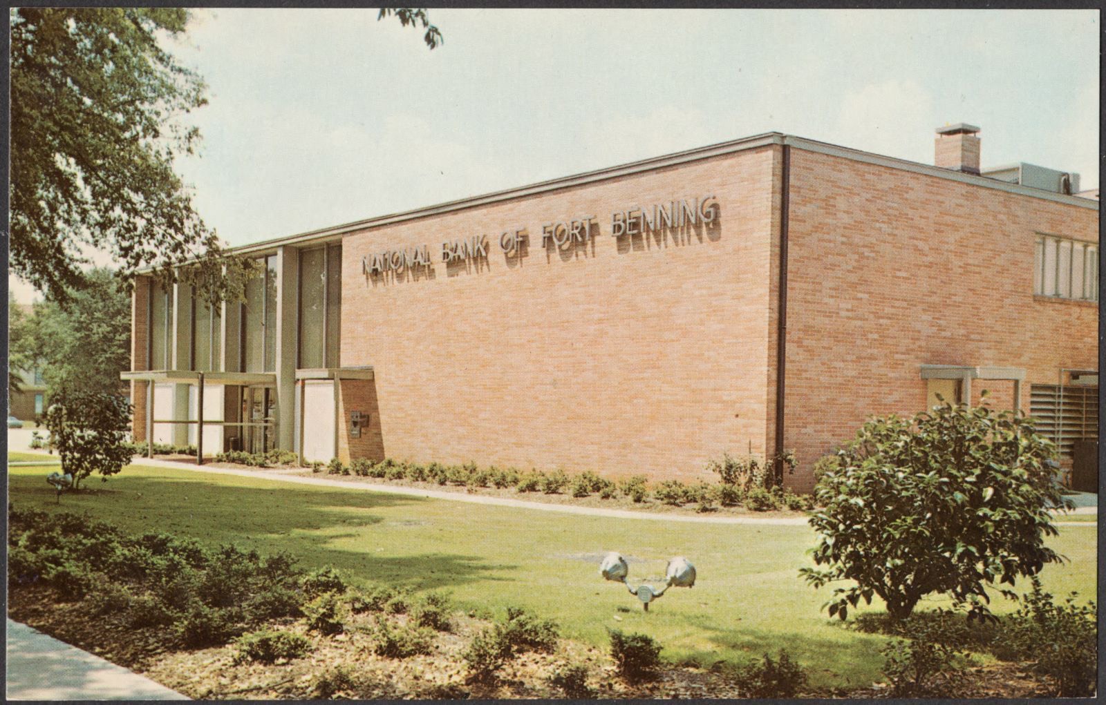
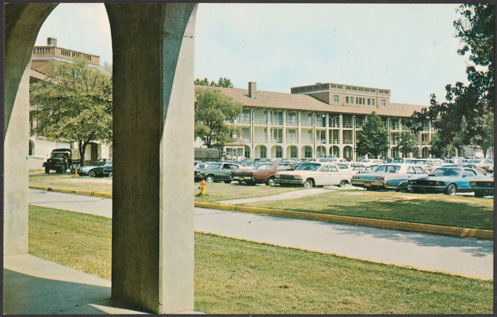
Selected from the Digital Public Library of America's 13 image records catalogued for this county. Every one shown here carries a public-domain status or a licence that permits reuse on a site that carries advertising; non-commercial, share-alike and restricted images are excluded. The selection is spread across the county's towns (at most eight per town), so no single institution's bulk upload crowds out the rest. Each opens the holding library's record, and the complete set at the Digital Public Library of America is one click away.



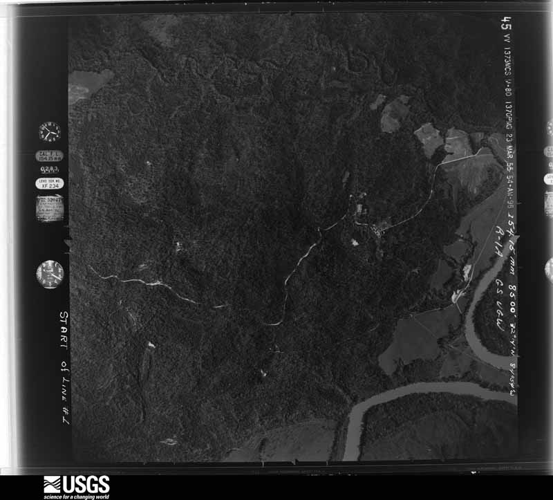
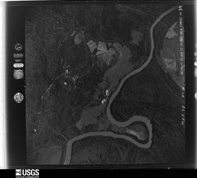
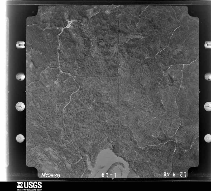
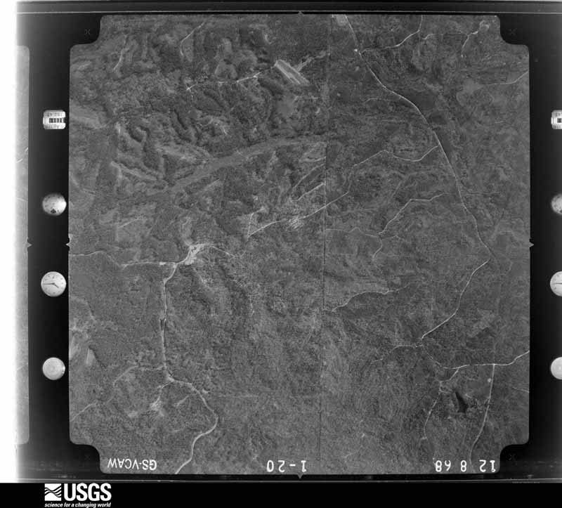
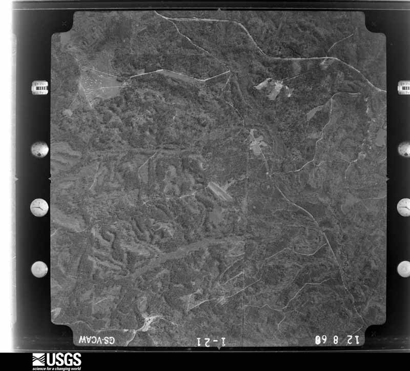
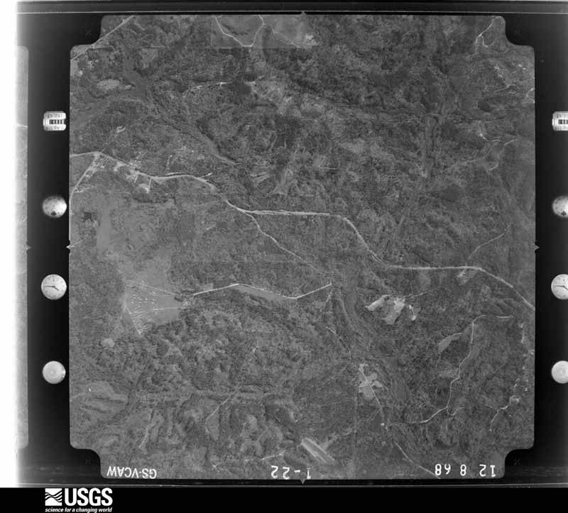
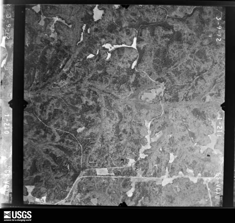
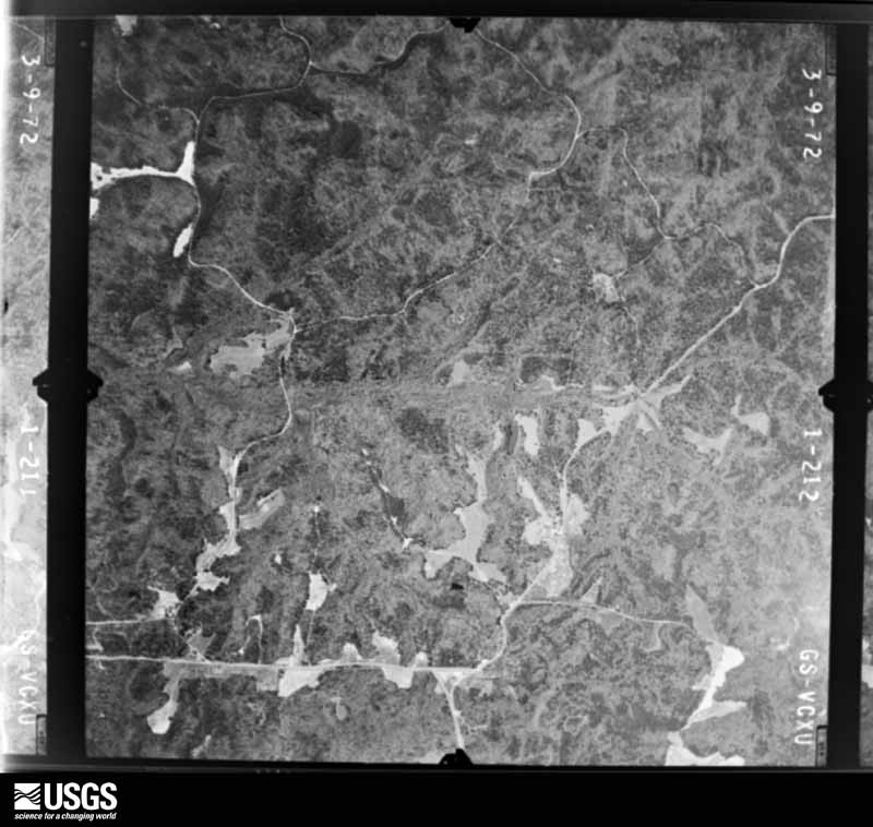
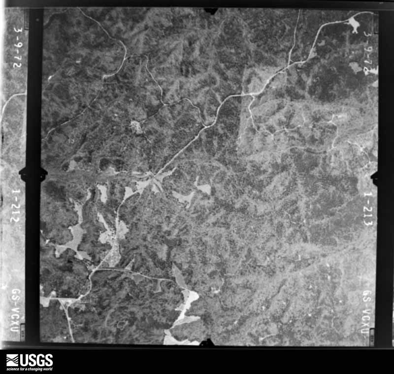
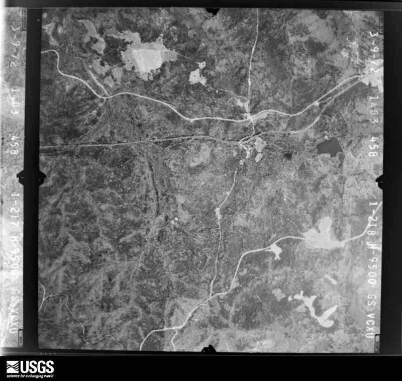
Flown by the U.S. Geological Survey between 1937 and 1989, the Aerial Photo Single Frames collection is the definitive mid-century view of the land: fields, roads and rivers as the camera saw them. The Survey holds 256 frames inside the rectangle that bounds this county; the 14 frames below were taken over the county itself, chosen across the decades of flights (at most four a year from that rectangle), so one flight cannot crowd out the rest. The full set is free to browse and download at EarthExplorer under the dataset Aerial Photo Single Frames.




The thermometers that kept this county's weather, and the gages that measured the flow of its streams, as the federal records hold them. The extremes below are measured values from those records, not estimates.
Who lived here in 1950, one enumeration district at a time, as the Census Bureau described each district. Each row opens its official National Archives result, with Population Schedules and ED Maps available there.
Every wildfire the federal occurrence database records inside this county: 264 of them, burning about 1,232 acres. 6 started naturally and 48 were recorded as arson. Each settlement page carries the fires within five miles of it.
| Reported cause | Fires |
|---|---|
| Debris and open burning | 114 |
| Arson/incendiarism | 48 |
| Railroad operations and maintenance | 40 |
| Missing data/not specified/undetermined | 16 |
| Equipment and vehicle use | 14 |
| Smoking | 12 |
| Misuse of fire by a minor | 9 |
| Natural | 6 |
| Recreation and ceremony | 5 |
The five largest, by the area the report gives. Three of them were set deliberately.
| Date | Cause | Size | Reported by | Name on the report |
|---|---|---|---|---|
| 25 March 2003 | Arson/incendiarism | 142 acres | Georgia Forestry Commission | not named |
| 8 March 2011 | Arson/incendiarism | 127 acres | Georgia Forestry Commission | FY2011-CHATTAHOOCHEE-006 |
| 13 November 2001 | Debris and open burning | 57 acres | Georgia Forestry Commission | FY2002-CHATTAHOOCHEE-008 |
| 16 March 2013 | Debris and open burning | 41 acres | Georgia Forestry Commission | FY2013-CHATTAHOOCHEE-003 |
| 23 March 2011 | Debris and open burning | 33 acres | Georgia Forestry Commission | FY2011-CHATTAHOOCHEE-008 |
| 9 April 2017 | Arson/incendiarism | 26 acres | Georgia Forestry Commission | FY2017-CHATTAHOOCHEE-009 |
| 23 February 1993 | Railroad operations and maintenance | 26 acres | Georgia Forestry Commission | not named |
| 21 October 2010 | Debris and open burning | 23 acres | Georgia Forestry Commission | FY2011-CLAY-005 |
Every settlement page carries the fires within five miles of it - see the settlement index below.
The NOAA Storm Events Database holds 109 reports for this county, causing 2 deaths, 50 injuries and about $26,395,000 in recorded property damage. Each settlement page carries the reports that name it.
| Kind of event | Reports |
|---|---|
| Thunderstorm Wind | 66 |
| Hail | 21 |
| Tornado | 13 |
| Flash Flood | 4 |
| Lightning | 2 |
| Winter Storm | 2 |
| Flood | 1 |
The most serious of them, by death, then injury, then recorded damage. The accounts are quoted exactly as the forecast office filed them.
| When | Event | Place named | Harm | What the report says |
|---|---|---|---|---|
| March 1954 | Tornado (F3) | not stated | 2 killed, 20 hurt, $25,000,000 | no account filed |
| August 2005 | Lightning | Ft Benning | 19 hurt | The Columbus Ledger-Inquirer reported that 19 soldiers were injured at the Fort Benning military reservation while outside doing training maneuvers. This information was confirmed with the Fort Benning military police. |
| November 2006 | Tornado (F1) | Ft Benning | 9 hurt, $500,000 | A survey conducted by the National Weather Service Forecast Office in Peachtree City, GA concluded that an F1 tornado had touched down at the intersection of Sightseeing Road and Lavoy Road in the northern portion of Fort Benning and traveled north-northeast toward the Upatoi Creek and the Muscogee county line. The tornado crossed just across the border into Muscogee county before lifting. Moderate damage was observed within the Main Post area of Fort Benning along a 150-yard wide, 1.5-mile long path. The majority of the damage occurred along Wold Avenue, where about 10 World War II warehouses were heavily damage, and 18-wheel truck was flipped over, and two vehicles were damaged from debris. Several trees and power lines were also down in the area. Six homes were also damaged in the McDonald Manor Housing Area from large downed trees and limbs. Nine minor injuries were reported in this area as a result of flying or falling debris. |
| March 1989 | Thunderstorm Wind | not stated | 2 hurt | no account filed |
| April 2011 | Tornado (EF1) | Ochillee | $250,000 | A damage survey conducted by the National Weather Service Forecast Office in Peachtree City, Georgia confirmed that an EF1 tornado touched down within the Fort Benning Military Reservation approximately seven miles east-northeast of the Fort Benning Lawson Army Air Field or about 9.5 miles southeast of Columbus in far northern Chattahoochee county. The tornado was determined to have a path length of 1/4 mile long with a path width of 50 yards. The tornado removed one fourth of the roof and a portion of an exterior wall of a dormitory on the army base. More than a dozen vehicles were tossed, turned, and flipped about by the tornado. In addition, there were approximately 30 trees snapped, blown over, or uprooted along the path of the tornado. There were no injuries and no fatalities from this tornado.||[04/15-04/16/11: Tornado #2, County #1-1, EF1, Chattahoochee, 2011:008]. |
| April 2009 | Tornado (EF1) | Ida Vesper | $150,000 | A damage survey conducted by the National Weather Service Forecast Office in Peachtree City, Georgia confirmed that a second EF1 tornado touched down within Chattahoochee county from the same parent supercell thunderstorm that spawned an earlier EF1 tornado 2.5 miles south of Ochille. This EF1 tornado touched down approximately 2.5 miles east-northeast of Cusseta and also traveled on the ground about 4.0 miles to the east-southeast just north of and paralleling Georgia Highway 26. The maximum path width was determined to be 100 yards with maximum winds estimated at 80 mph. Minor damage was observed to at least two homes and one church. A 20 by 24 foot metal storage building on Georgia Highway 26 was destroyed. Several other storage sheds or outbuildings along the path of the tornado suffered minor to moderate damage. |
| April 2009 | Tornado (EF1) | Central Springs | $100,000 | A damage survey conducted by the National Weather Service Forecast Office in Peachtree City, Georgia, confirmed that an EF1 tornado had touched down approximately 2.5 miles south of Ochille and continued on an east-southeastward track across central Chattahoochee county, lifting about 4.0 miles east-southeast of its touchdown point. The path width was determined to be 440 yards with maximum winds estimated at 80 mph. The damage appeared to have begun as a downburst, within which the brief EF1 tornado spin up occurred. Combined damage from the downburst and EF1 tornado consisted of destruction of several out buildings and sheds. Hundreds of trees were flattened along the path of the tornado. Another EF1 tornado was spawned from the same supercell thunderstorm, also within Chattahoochee county, just eight minutes later and four miles further east. |
| April 2007 | Hail | Ft Benning | $80,000 | The weather observer for the Fort Benning military reservation observed half-dollar to golf ball-sized hail. The public also observed golf ball-sized hail in the area as well. The Chattahoochee County 911 Center reported quarter-sized hail in Cusseta. The weather observer at Fort Benning also observed wind gusts to 43 mph. Some small tree limbs were blown down in the area. |
| December 2015 | Flash Flood | Kasihta | $56,000 | The Chattahoochee County Emergency Manager reported a few roads and culverts were washed out in the Cusseta area due to rapidly flowing streams and creeks in flood. |
| February 2008 | Tornado (EF0) | Jamestown | $35,000 | An aerial and ground survey conducted by the National Weather Service, the Georgia State Patrol, and the Chattahoochee County Emergency Management Director concluded that the EF0 tornado, which originated in Alabama and then crossed into Stewart county, continued into Chattahoochee county just south of Jamestown. The tornado continued on an east-northeastward track across U.S. Highway 27 near Cusseta, and then to the Marion county border at Georgia Highway 137. The tornado path length was over 12 miles long with a maximum path width of 100 yards. Numerous trees and power lines were blown down along the spotty damage path of the tornado. A single-wide mobile home was rolled at a mobile home park community south of Jamestown, but no injuries were reported. Widespread power outages were observed in the Cusseta area. |
| June 2010 | Hail | Cusseta | $30,000 | The Chattahoochee County Emergency Management Director reported golf ball-sized hail just east of Cusseta. The public observed nickel-sized hail in Cusseta. |
| April 2020 | Thunderstorm Wind | Shack | $25,000 | Numerous trees and powerlines reported down in and around Ft. Benning. Trees also fell on 2 structures and 2 vehicles. One structure had a roof blown off. |
| November 2014 | Tornado (EF1) | Cusseta | $25,000 | A NWS storm survey team found that an EF-1 tornado, with maximum wind speeds of 107 MPH, touched down in Chattahoochee County around the town of Cusseta along U.S. Highway 27. The tornado tracked northeast around 18 miles mile before crossing into Marion County near County Road 65 and Little Juniper Creek. The tornado caused mainly damage to trees with numerous hardwood and softwood trees snapped or uprooted. [11/23/14: Tornado #3, County #1-3, EF1, Chattahoochee-Marion-Talbot, 2014:020]. |
| May 2017 | Tornado (EF0) | Shack | $12,000 | A weak, short-lived tornado touched down on a remote section of the Ft. Benning Army Reservation. Due to the sensitive nature of the location, a National Weather Service survey team could not access the site, however official from Ft. Benning flew over the site and provided the NWS office with positions for the start and end points as well as photos and descriptions of the damage. From this, the NWS determined that an EF0 tornado, with maximum wind speeds of 80 MPH and a maximum path width of 50 yards, travelled just under a half of a mile snapping and uprooting trees. [05/01/17: Tornado #1 County #1/1, EF-0, Chattahoochee, 2017:068]. |
| May 2019 | Thunderstorm Wind | Cottage Mills | $10,000 | Dispatch reported at least 3 trees down at the entrance of River Bend Park. Time estimated from radar. |
| May 2019 | Thunderstorm Wind | Cusseta | $10,000 | Dispatch reported multiple trees and power lines down between the 15th mile marker along Hwy 520 and Missouri River Road, just south of Cusseta. |
| April 2015 | Tornado (EF1) | Kasihta | $10,000 | The Ft. Benning Emergency Manager reported that a tornado moved across the Chattahoochee River from Alabama into Georgia and tracked across southern Ft. Benning. The tornado moved over mainly undeveloped, forested areas of Ft. Benning where numerous trees were downed. Based on information from the Emergency Manager and a NWS survey team from Birmingham, it was determined that the intensity was EF-1 with maximum wind speeds of 100 MPH and an average path width of 350 yards. [04/19/15: Tornado #1, County #1-1, EF1, Chattahoochee, 2015:005]. |
| May 2003 | Thunderstorm Wind | Ft Benning | $10,000 | The Chattahoochee county 911 center reported that a number of trees were down on the base and some power lines as well. Power was out on the base as a result. |
| July 2018 | Thunderstorm Wind | Shack | $8,000 | The Chattahoochee County 911 center reported multiple trees and power lines blown down across Ft. Benning, including along Louis Street, Marne Road, Dixie Road and 10th Mountain Division Road. |
| July 2017 | Flash Flood | Cusseta | $5,000 | Emergency Manager reported a dirt road washed out as a result of runoff from heavy rain. Radar estimates indicate rainfall amounts of 4 to 5 inches in the area, with locally higher amounts possible. |
| June 2007 | Lightning | Cusseta | $5,000 | The Columbus Ledger/Inquirer reported that lightning struck a tree along U.S. Highway 280 in the Old Louvale Road section of town. The lightning strike traveled through the ground and blew up part of an adjacent water main. |
| May 2006 | Thunderstorm Wind | Countywide | $5,000 | The Chattahoochee County Emergency Management Director reported that several trees were down, especially in the Cusseta area. Wind gusts were measured at 68 mph at Fort Benning. |
| July 2003 | Flash Flood | Ft Benning | $5,000 | The Fort Benning military police reported that a majority of the roads on the Army base were flooded. Flood waters had risen up to the level of the windows on vehicles in some locations. |
| June 1994 | Thunderstorm Wind | Fort Benning | $5,000 | Numerous trees and large limbs were downed near the Post Exchange. |
| February 1993 | Thunderstorm Wind | Cusseta | $5,000 | Several large trees were downed on Georgia Highway 26. |
| June 2018 | Thunderstorm Wind | Cusseta | $4,000 | The Chattahoochee County Emergency Manager reported several trees blown down along Broad Street in the Cusseta area. |
| July 1997 | Thunderstorm Wind | Cusseta | $4,000 | Trees and power lines were down in Cusseta. |
| June 2016 | Thunderstorm Wind | Jamestown | $3,000 | The Chattahoochee County Emergency Manager reported 5 trees blown down along Riverbend Road. |
| December 2009 | Flood | Cottage Mills | $3,000 | The Chattahoochee County Emergency Management Director reported minor flooding of some roads and property across the county, mostly adjacent to overflowing creeks and streams. Monetary damage was confined to minor debris removal in these areas. |
| March 2007 | Thunderstorm Wind | Cusseta | $3,000 | The Chattahoochee County Emergency Management Director reported that 10 to 15 trees were down scattered about the county, but primarily across the east and southeast part of the county between Cusseta and Renfroe. |
| April 2004 | Thunderstorm Wind | Ft Benning | $3,000 | The Fort Benning military police reported that several trees and power lines were blown down within the Fort Benning Military Reservation. |
| July 2002 | Thunderstorm Wind | Ft Benning | $3,000 | The Chattahoochee county 911 center reported that several large trees were down on roads within the Fort Benning Military Reservation. |
| March 2013 | Thunderstorm Wind | Ida Vesper | $2,500 | The Fort Benning Emergency Manager estimated wind gusts to 60 MPH that caused damage to several trees on this portion of the military reservation. Dime-sized hail was also reported. |
| March 1961 | Tornado (F1) | not stated | $2,500 | no account filed |
| March 1960 | Tornado (F1) | not stated | $2,500 | no account filed |
| January 2009 | Thunderstorm Wind | Cusseta | $2,000 | The Chattahoochee County 911 Center reported that numerous trees were down on Fire Tower Road east of Cusseta and about six trees were down on Georgia Highway 26 east of Cusseta near mile marker number eight. |
| April 2005 | Thunderstorm Wind | Cusseta | $2,000 | The public and the Chattahoochee County Sheriff's Department reported that around six trees were down in the Cusseta area along U.S. Highway 27, Georgia Highway 520, and at least one private residence. |
| March 2000 | Thunderstorm Wind | Cusseta | $2,000 | The Cusseta Police Department reported power lines were blown down, causing power outages. |
| November 1997 | Hail | Cusseta | $2,000 | no account filed |
| January 2013 | Thunderstorm Wind | Cusseta | $1,500 | Cusseta Police reported several trees down along Highways 26 and 520. |
| March 2006 | Thunderstorm Wind | Ft Benning | $1,500 | The Fort Benning automated weather observation station measured a wind gust of 51 knots or 59 mph at 924 pm EST. Shortly thereafter, a number of trees were blown down five miles southwest of Cusseta. A damage survey conducted by the National Weather Service confirmed that the damage was not caused by a tornado. |
| June 2000 | Thunderstorm Wind | Cusseta | $1,500 | The Chattahoochee county 911 center reported two trees down on U.S. Highway 27. |
| April 2020 | Thunderstorm Wind | Shack | $1,000 | Measured wind gust of 55 mph at Ft Benning AWOS. |
| June 2020 | Thunderstorm Wind | Gobblers Hill | $1,000 | The Chattahoochee County 011 center reported a tree blown down along Firetower Road. |
| September 2019 | Thunderstorm Wind | Cusseta | $1,000 | The Chattahoochee County 911 center reported a tree blown down near the intersection of Old Louvale Road and Jamestown Road in Cusseta. |
| June 2019 | Thunderstorm Wind | Woolfolk | $1,000 | A report was received over social media of a tree blown down on Sightseeing Road near the Bernheim Dental Clinic on Ft. Benning. |
| January 2017 | Thunderstorm Wind | Woolfolk | $1,000 | The Chattahoochee County Emergency Manager reported a tree blown down and blocking the roadway on Vibbert Avenue near Olson Hall on Fort Benning. |
| February 2016 | Thunderstorm Wind | Cusseta | $1,000 | The Chattahoochee County 911 Center reported a tree blown down onto Miller Road in Cusseta. |
| June 2010 | Thunderstorm Wind | Cusseta | $1,000 | The Chattahoochee County Emergency Management Director reported that two trees and were down near Firetower Road. Phone lines were also down along Firetower Road. |
| February 2009 | Thunderstorm Wind | Cottage Mills | $1,000 | The Chattahoochee County Emergency Management Director reported that at least three trees were down southwest of Cusseta along Riverbend Road. |
| February 2003 | Thunderstorm Wind | Cusseta | $1,000 | The Chattahoochee county 911 center reported that several trees were blown down along Georgia Highway 26 just north of Cusseta. |
| July 1995 | Thunderstorm Wind | Cusseta | $1,000 | Thunderstorm winds blew several large trees down in the downtown area along Georgia Highway 520. Some of the trees fell on power lines, resulting in power outages. |
| January 2002 | Thunderstorm Wind | Ft Benning | $500 | The Chattahoochee county 911 center reported that two trees were blown down, one within a trailer park. No damage was reported to any of the trailers in the mobile home park. |
| April 2013 | Thunderstorm Wind | Woolfolk | $250 | The Chattahoochee County 911 Center reported that a tree was blown down onto Highway 520 at Fort Benning. |
| July 2003 | Thunderstorm Wind | Ft Benning | $250 | The Chattahoochee county 911 center reported that one tree was blown down. |
| January 2025 | Winter Storm | not stated | - | Two to four (2-4) inches of snow and sleet quickly accumulated across Coweta County during the early morning hours. The snow mixed with sleet at times, eventually changing over to freezing rain. An additional 1/10 to 2/10 inch of ice accumulated on top of the snow before precipitation changed over to all rain before ending by around midday. |
| January 2025 | Winter Storm | not stated | - | Up to 1 inch of snow fell across Coweta County. Due to very cold temperatures well below freezing, roads quickly became snow covered and very slick, which led to numerous accidents just before sunset. |
| April 2022 | Tornado (EF1) | Heineburg Village | - | A tornado touched down on the east side of Fort Benning over|northeast Chattahoochee County as a line of strong to severe|thunderstorms crossed the area. Given the location of the|tornado, majority of the damage was to trees that were seen|snapped or uprooted. An aerial survey along with radar data and|ground pictures confirmed the track was just under 7 miles with|maximum winds around 90 mph. The tornado appeared|to lift just before the Marion county line. [4/5/22: Tornado #1, County #1/1, EF-1, Chattahoochee, 2022:004]. |
| January 2017 | Flash Flood | (Lsf)Lawson Aaf Ft B | - | Emergency Management reported extensive flooding of southbound Highway 27 near 8th Division Road and at 10th Mountain Division near Russ Pond. Flooding of roadways was also reported at Indianhead Road, Vibbert Road, Wold Avenue, Kilgore Road, Ingersoll Avenue, Sargent Court, Durham Court, Yano Court, Devore Court, and Roark Court, with water approaching residences in Bouton Heights. In total, 2.5 to 3 inches of rain fell quickly, with locally higher amounts. |
| July 2015 | Thunderstorm Wind | Kasihta | - | A wind gust of 62 MPH was recorded by the ASOS at Lawson Army Airfield at Ft Benning. |
Named settlements recorded in the Geographic Names Information System, each with the topographic sheets covering it. Villages, hamlets and abandoned places alike. Each is shown with the nearest named watercourse or landform and the survey quadrangle it falls on.
Fort Benning census division · 31905 · Near Craston Hill · Cusseta quadrangle
25 sheets, 1908 to 1981
Fort Benning census division · On Hollis Creek · Glen Alta quadrangle
13 sheets, 1949 to 1981
Fort Benning census division · Near Hutchcraft Hill · Fort Benning quadrangle
23 sheets, 1908 to 1981
No longer a settlement
Fort Benning census division · On Pine Knot Creek · Ochillee quadrangle
25 sheets, 1908 to 1981
Fort Benning census division · 31905 · Near Humphreys Hill · Fort Benning quadrangle
23 sheets, 1908 to 1981
Fort Benning census division · 31905 · On Halloca Creek · Cusseta quadrangle
25 sheets, 1908 to 1981
No longer a settlement
Fort Benning census division · 31905 · Near Toy Hill · Ochillee quadrangle
25 sheets, 1908 to 1981
No longer a settlement
Fort Benning census division · On Hollis Creek · Glen Alta quadrangle
13 sheets, 1949 to 1981
Fort Benning census division · 31905 · Fort Benning quadrangle
23 sheets, 1908 to 1981
No longer a settlement
Fort Benning census division · 31905 · Near Riche Hill · Fort Benning quadrangle
23 sheets, 1908 to 1981
Fort Benning census division · 31905 · Near Detrow Hill · Ochillee quadrangle
25 sheets, 1908 to 1981
Fort Benning census division · 31905 · Near Riche Hill · Fort Benning quadrangle
23 sheets, 1908 to 1981
No longer a settlement
Fort Benning census division · 31905 · Near Riche Hill · Fort Benning quadrangle
23 sheets, 1908 to 1981
No longer a settlement
The vanished settlements of Chattahoochee County: the places named above that are no longer on the map.
The complete index, with nothing left out. Each of these is a separate record with its own page: a federal survey report, or the case file that argued a property on to the National Register. Both are public domain and reproduced word for word.
The vanished settlements of Chattahoochee County, the places these records name that are no longer on the map.