 Block
From the record
6 National Register listings published here.
Sources: the National Register database, National Park Service
26 topographic sheets and 5 fire insurance atlases across 1 place.
6 National Register listings published here.
Sources: the National Register database, National Park Service
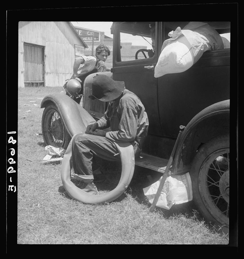
Taken for the Office of War Information and the Farm Security Administration, who photographed the country between 1935 and 1944. Works of United States government photographers, with no known restriction on use. Each opens its catalogue record.

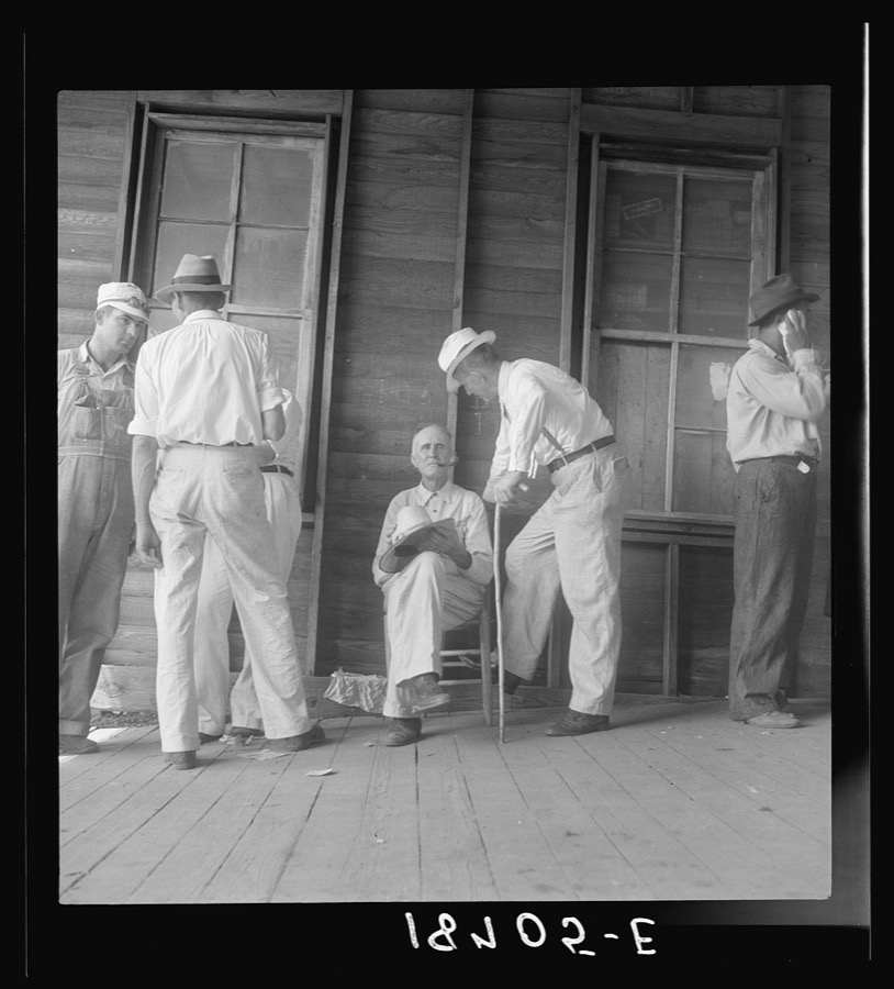
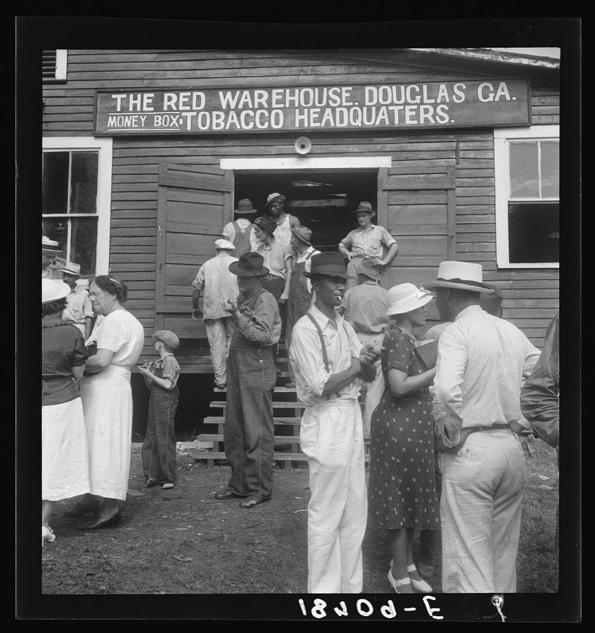





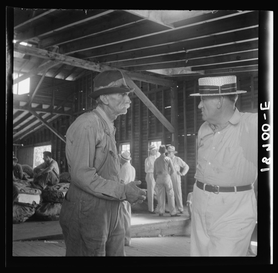


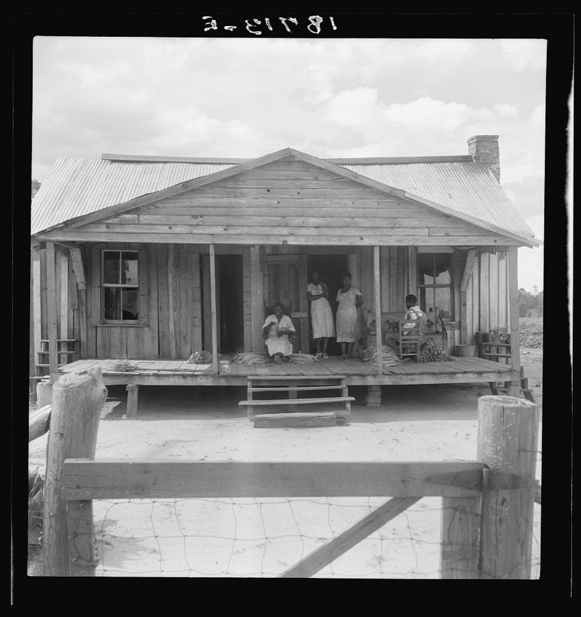

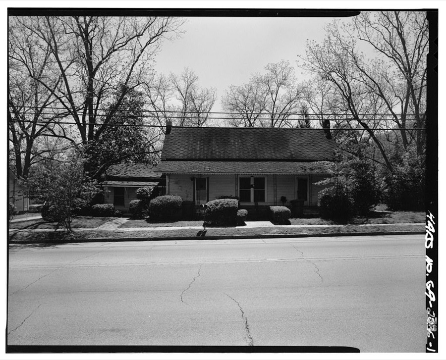
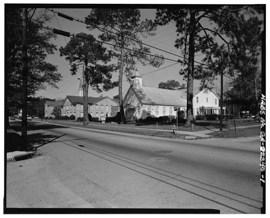
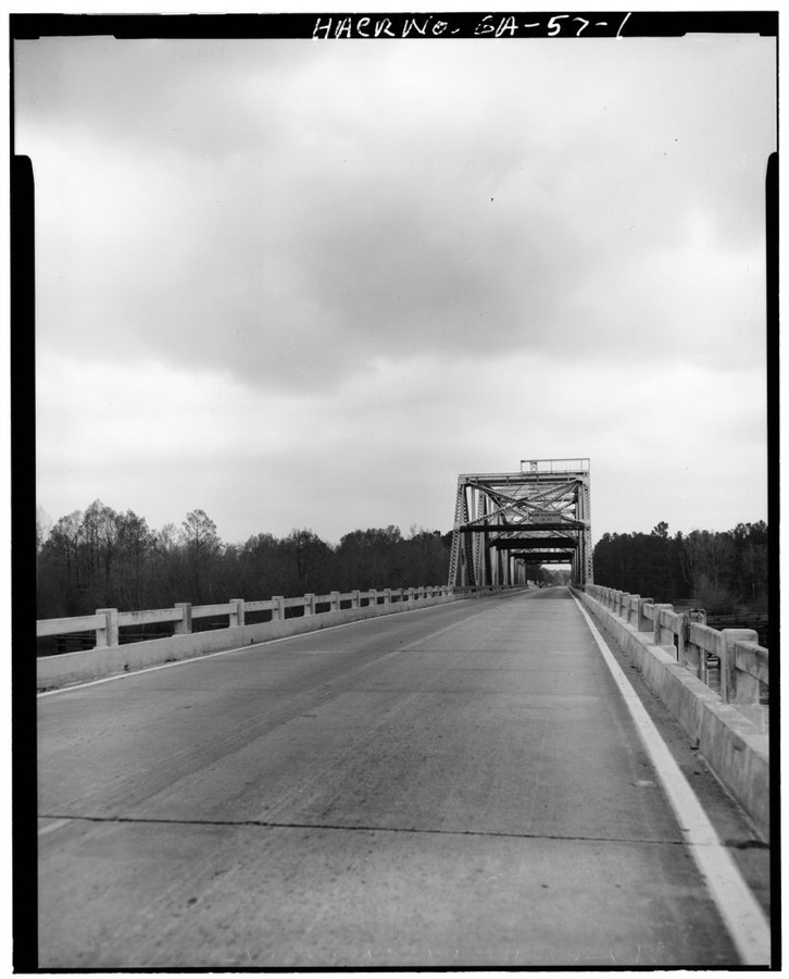
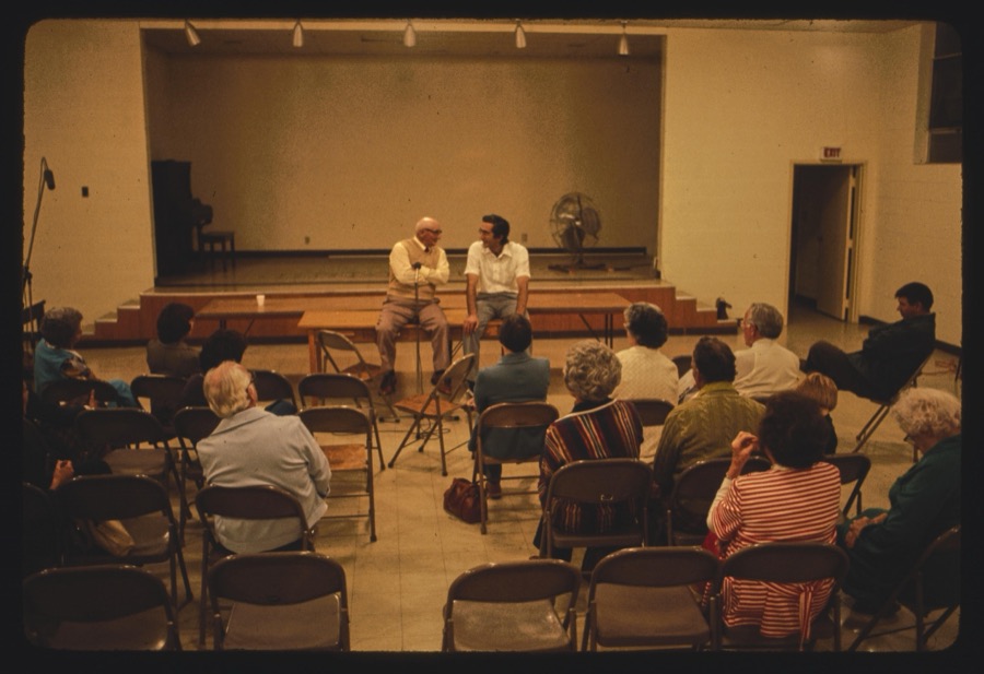
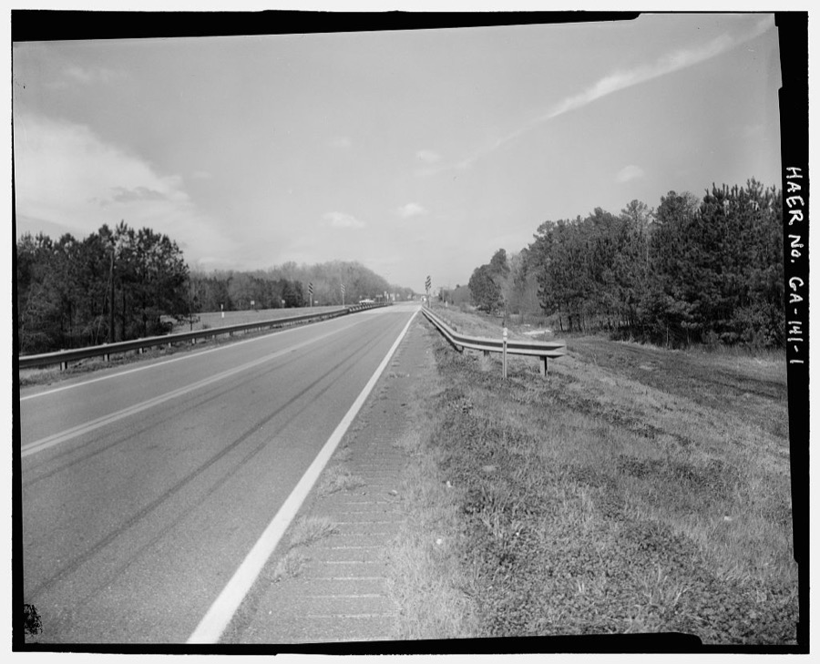
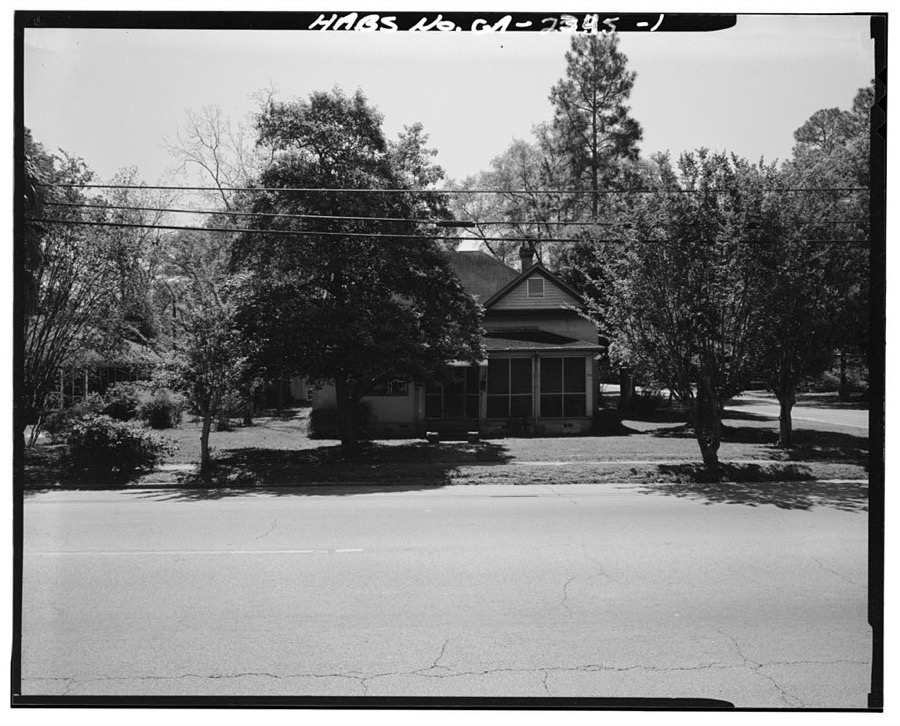
Every property in this county listed on the National Register of Historic Places, with the year it was listed and the federal nomination document.
| Photograph | Property | Type | Listed | Reference |
|---|---|---|---|---|
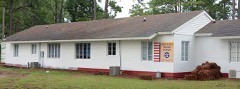 | 63rd Army Air Forces Contract Pilot School (Primary) | district | 2013 | 13000270 |
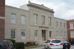 | Downtown Douglas Historic District | district | 1993 | 93000941 |
 | Eleventh District A & M School-South Georgia College Historic District | district | 2010 | 10000274 |
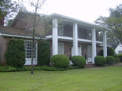 | Gaskin Avenue Historic District | district | 1993 | 93001138 |
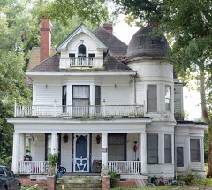 | Lonnie A. Pope House | building | 1982 | 82002395 |
 | Union Banking Company Building | building | 1982 | 82000144 |
Drawn when these were printed as single large sheets: the town seen from the air, and the county divided into its farms with every owner named. Each opens the original at the Library of Congress.
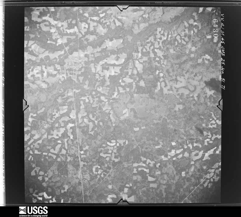
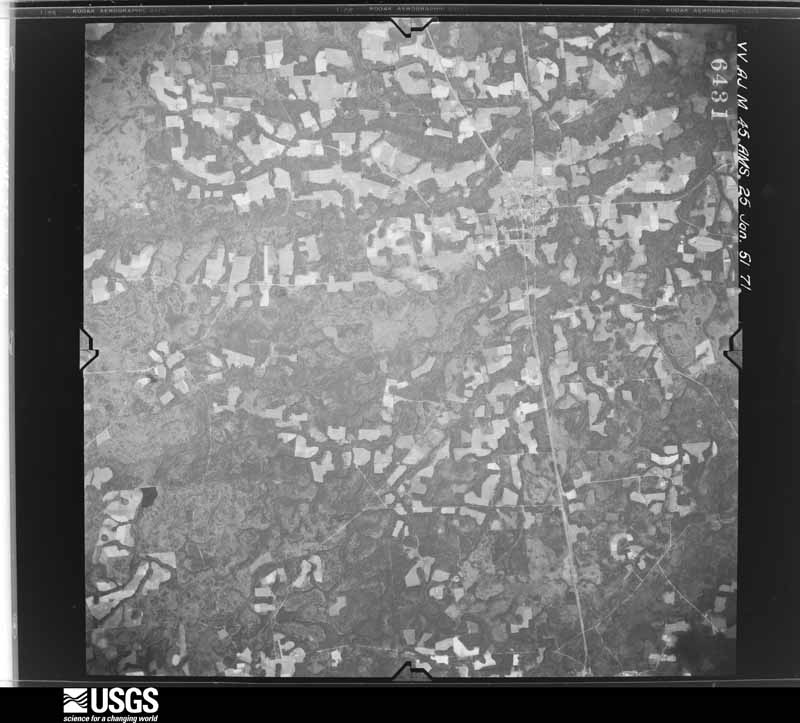
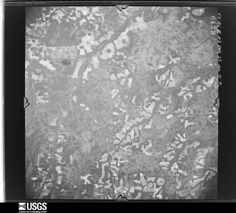
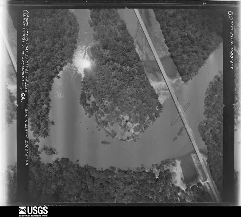
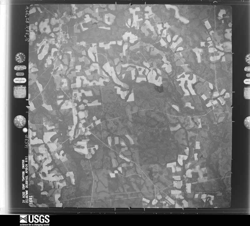
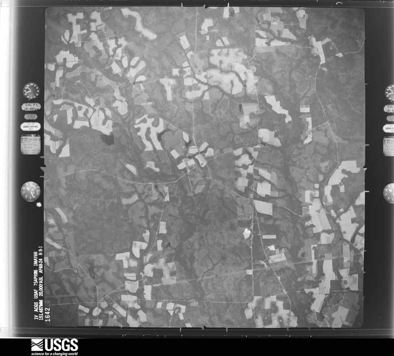
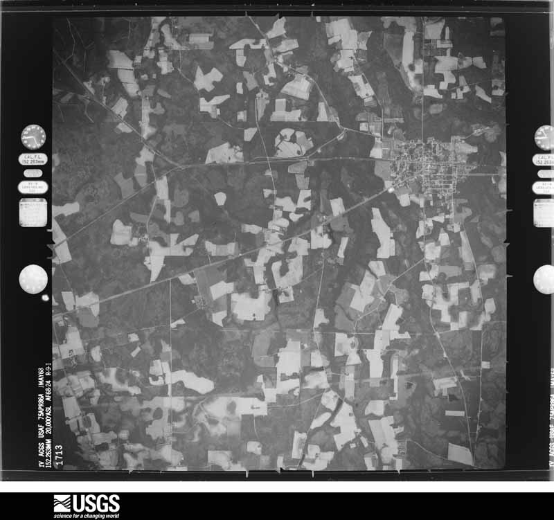
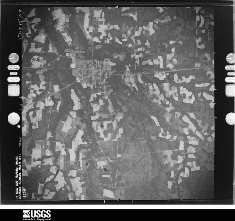
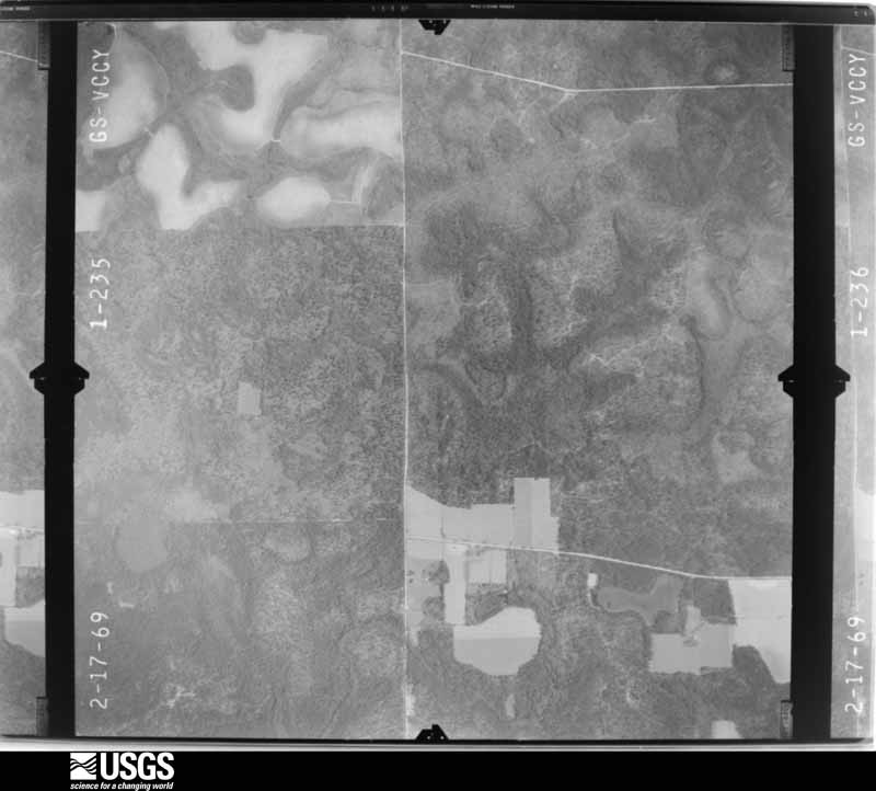
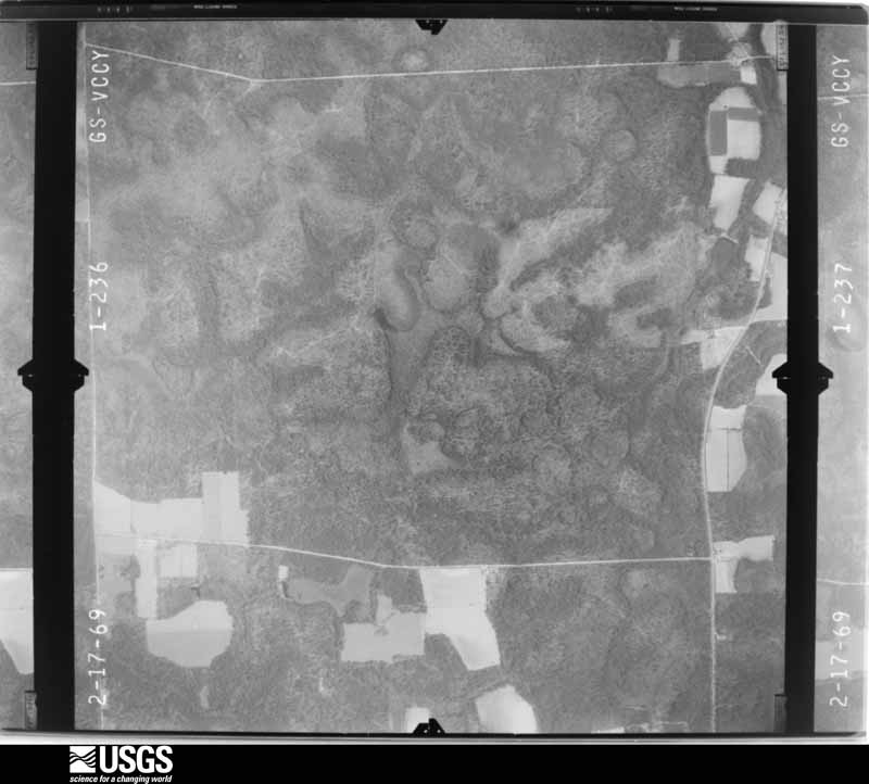
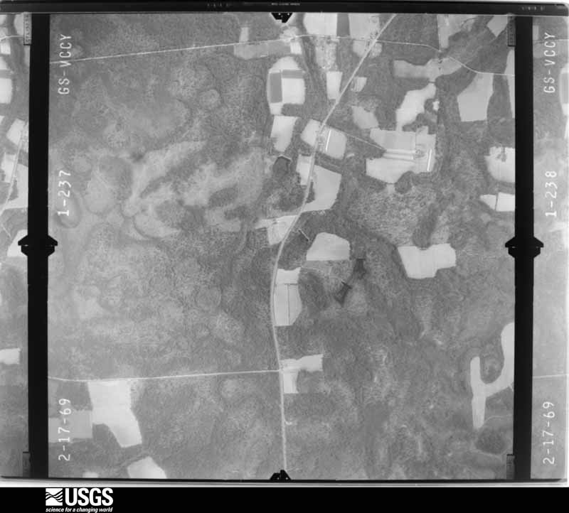
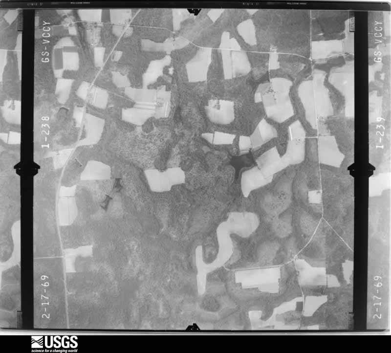
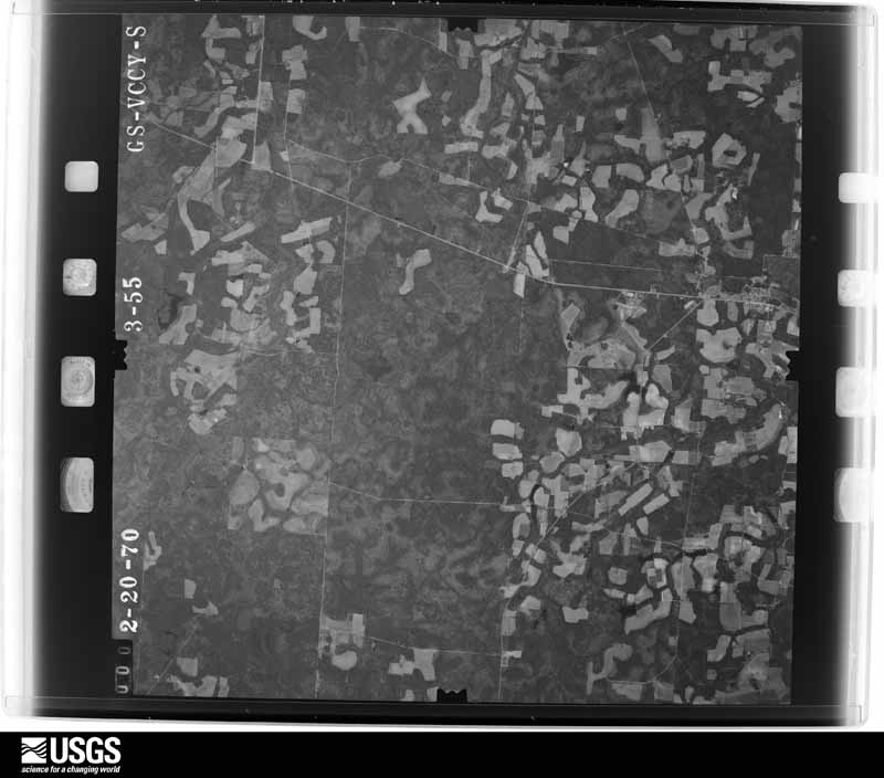
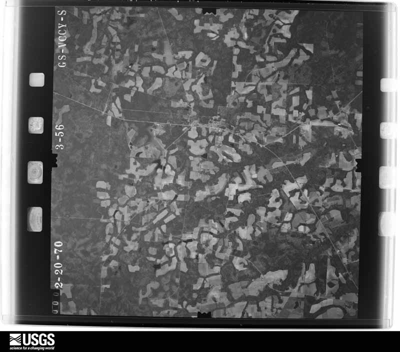
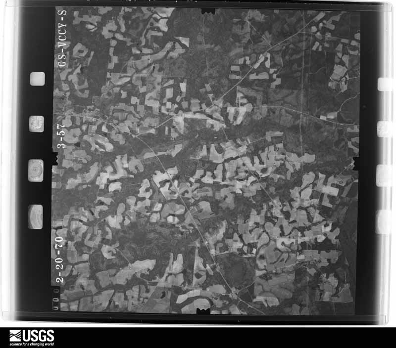
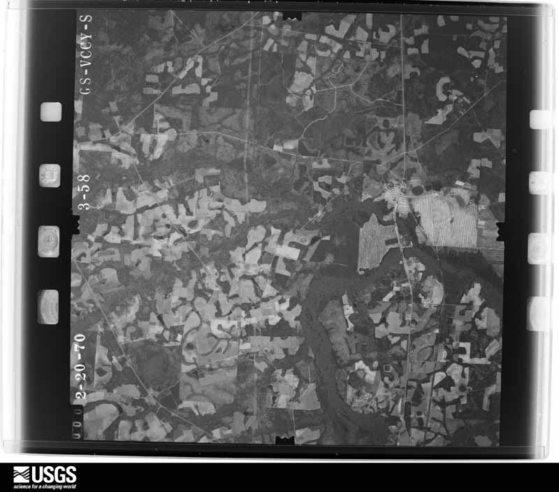
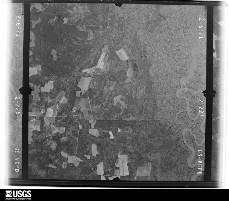
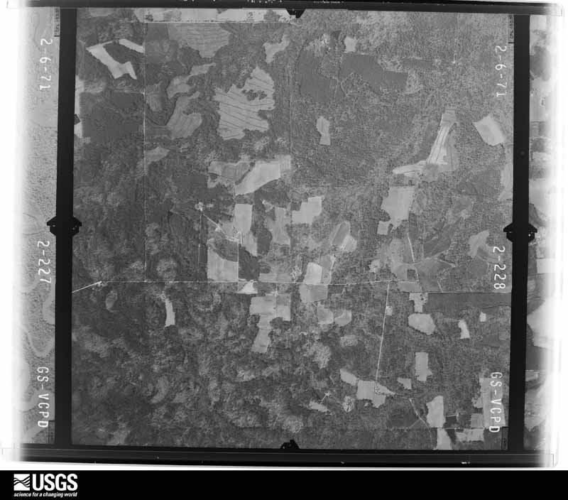
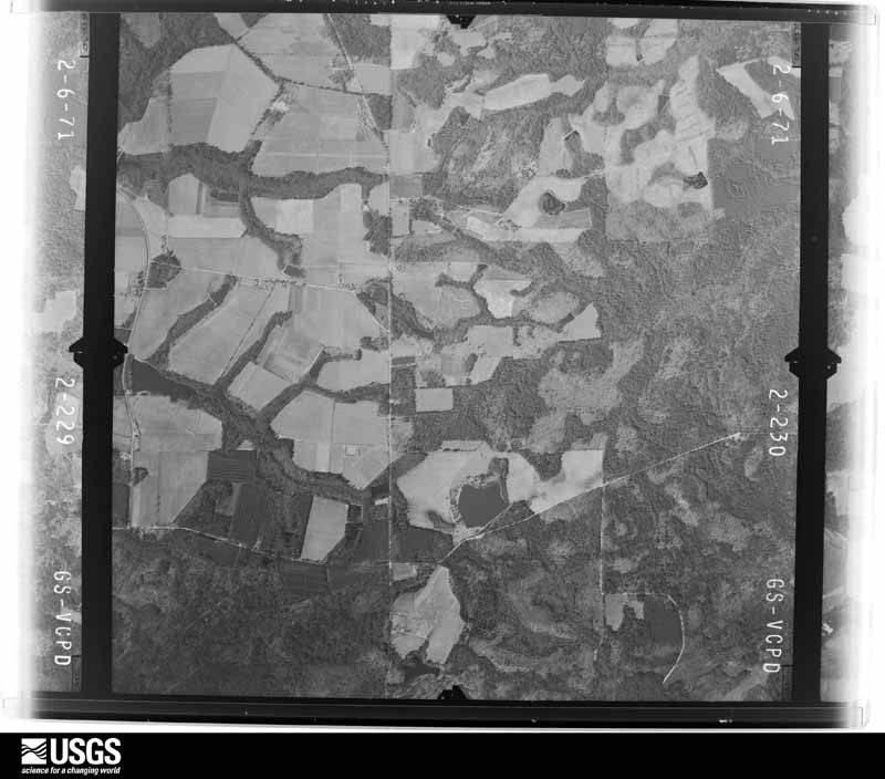
Flown by the U.S. Geological Survey between 1937 and 1989, the Aerial Photo Single Frames collection is the definitive mid-century view of the land: fields, roads and rivers as the camera saw them. The Survey holds 1,196 frames inside the rectangle that bounds this county; the 25 frames below were taken over the county itself, chosen across the decades of flights (at most four a year from that rectangle), so one flight cannot crowd out the rest. The full set is free to browse and download at EarthExplorer under the dataset Aerial Photo Single Frames.






The thermometers that kept this county's weather, as the federal records hold them. The extremes below are measured values from those records, not estimates.
Who lived here in 1950, one enumeration district at a time, as the Census Bureau described each district. Each row opens its official National Archives result, with Population Schedules and ED Maps available there.
Every wildfire the federal occurrence database records inside this county: 2,119 of them, burning about 8,894 acres. 126 started naturally and 250 were recorded as arson. Each settlement page carries the fires within five miles of it.
| Reported cause | Fires |
|---|---|
| Debris and open burning | 1325 |
| Arson/incendiarism | 250 |
| Equipment and vehicle use | 172 |
| Natural | 126 |
| Misuse of fire by a minor | 73 |
| Missing data/not specified/undetermined | 72 |
| Recreation and ceremony | 51 |
| Smoking | 35 |
| Railroad operations and maintenance | 15 |
The five largest, by the area the report gives. Three of them were set deliberately.
| Date | Cause | Size | Reported by | Name on the report |
|---|---|---|---|---|
| 24 March 2011 | Debris and open burning | 1,377 acres | Georgia Forestry Commission | FY2011-COFFEE-077 |
| 21 April 2002 | Natural | 271 acres | Georgia Forestry Commission | FY2002-COFFEE-092 |
| 24 March 2011 | Arson/incendiarism | 142 acres | Georgia Forestry Commission | FY2011-COFFEE-079 |
| 20 July 2000 | Debris and open burning | 134 acres | Georgia Forestry Commission | FY2001-COFFEE-007 |
| 23 January 2013 | Debris and open burning | 101 acres | Georgia Forestry Commission | FY2013-COFFEE-057 |
| 12 July 1992 | Natural | 82 acres | Georgia Forestry Commission | not named |
| 2 May 2007 | Arson/incendiarism | 76 acres | Georgia Forestry Commission | not named |
| 20 January 2000 | Arson/incendiarism | 70 acres | Georgia Forestry Commission | FY2000-COFFEE-046 |
Every settlement page carries the fires within five miles of it - see the settlement index below.
The NOAA Storm Events Database holds 386 reports for this county, causing no deaths, 42 injuries and about $6,811,000 in recorded property damage. Each settlement page carries the reports that name it.
| Kind of event | Reports |
|---|---|
| Thunderstorm Wind | 266 |
| Hail | 55 |
| Tornado | 28 |
| Heavy Rain | 12 |
| Funnel Cloud | 9 |
| Flash Flood | 6 |
| Flood | 6 |
| Lightning | 3 |
| Winter Storm | 1 |
The most serious of them, by death, then injury, then recorded damage. The accounts are quoted exactly as the forecast office filed them.
| When | Event | Place named | Harm | What the report says |
|---|---|---|---|---|
| April 1969 | Tornado (F2) | not stated | 28 hurt, $2,500,000 | no account filed |
| July 1998 | Thunderstorm Wind | Douglas | 6 hurt, $250,000 | Three mobile homes destroyed, eight damaged. Large trees and power lines were blown down. |
| November 2002 | Tornado (F2) | Douglas | 2 hurt, $500,000 | Tornado touched down in field along the Atkinson-Coffee County line near Marshal Corbet Road. Just inside of Coffee county one wood frame structure had a portion of its roof removed. Three large 100 yard long chicken houses were totally destroyed and machinery tossed about. One automobile was picked up and landed on the roof of a brick structure. Extensive roof damage to brick structure. Several work sheds destroyed. Trees snapped off and twisted at tops with debris wrapped in tree tops. Numerous large live oak trees felled. Clear evidence of rotation was noted by investigating officials. The storm continued north in a discontinuous path doing damage to cotton fields. the tornado crossed Highway 135 at the Satilla River with trees again snapped and twisted at the tops. Approximately 1 mile north of the Satilla River the tornado passed over an airstrip destroying a hanger/office structure and severely damaging a crop dusting aircraft. Debris from the destroyed chicken houses was identified at this site some 3 miles from its point of origin. This was the final discernable touchdown, although there was some evidence from debris further north that the system continued as a funnel cloud just above tree top level into southeast Douglas. |
| February 1971 | Tornado (F1) | not stated | 2 hurt, $25,000 | no account filed |
| April 1955 | Tornado (F1) | not stated | 1 hurt, $250,000 | no account filed |
| January 1971 | Tornado (F2) | not stated | 1 hurt, $25,000 | no account filed |
| July 2012 | Lightning | Nicholls | 1 hurt | A citizen was struck by lightning and taken to the hospital. |
| July 2004 | Thunderstorm Wind | Pridgen | 1 hurt | no account filed |
| April 1980 | Tornado (F1) | not stated | $2,500,000 | no account filed |
| June 1972 | Tornado (F2) | not stated | $250,000 | no account filed |
| March 2026 | Thunderstorm Wind | Upton | $50,000 | Numerous reports of trees and powerlines down and property damage occurred in the Douglas, GA area. A carport was destroyed along Sinkhole Rd. Trees fell onto a couple of mobile homes along Bear Creek Rd destroying their roofs. The siding was blown off of mobile home along Worth Lane. Time estimated from radar. |
| September 2000 | Tornado (F0) | West Green | $45,000 | Weak FO. Tornado skipped along the surface. Damaged several farm buildings. |
| July 2025 | Thunderstorm Wind | Pridgen | $35,000 | A photographer posted photos of a likely downburst on Monday afternoon along U.S. Highway 441 between Pridgen and Broxton in Coffee County, GA. Large chicken houses had their metal roofs peeled off and the structures were destroyed along Lindsey Merritt Rd. The roof of a barn was lifted off the structure and destroyed near US 441 and Ernest Pridgen Rd. A tree fell on a home causing roof damage and leaks along Arthur Pridgen Rd. Multiple large trees were snapped and a tobacco field was destroyed near Solomon Rd and Old River Rd. The time of damage was based on radar data, and the cost of damage was unknown but estimated for inclusion of the event in Storm Data. |
| March 1998 | Tornado (F0) | Ambrose | $30,000 | Tornado snapped trees and power lines. Damaged a pickup truck. |
| May 1971 | Tornado (F2) | not stated | $25,000 | no account filed |
| April 1961 | Tornado (F2) | not stated | $25,000 | no account filed |
| March 2026 | Thunderstorm Wind | Lax | $20,000 | An aluminum roof peeled off of a cabin along Ira Vickers Ln near Bridgetown. Time estimated from radar. |
| April 2015 | Tornado (EF0) | Upton | $20,000 | The tornado tracked over west central Coffee county across the rural outskirts west of Douglas by a short-lived supercell thunderstorm. There was damage to house siding, shallow rooted pine trees were pushed over, large branches were broken off trees, minor roof damage occurred, and loss of wood and metal panels occurred to small farm outbuildings. The cost of damage was unknown, but estimated for Storm Data. |
| March 1998 | Flash Flood | Countywide | $20,000 | Numerous roads and streets were closed. |
| March 2026 | Thunderstorm Wind | Saginaw | $15,000 | A damaging wind gust snapped a large tree that fell on a house near Nicholls, GA. The tree destroyed the roof over the front porch. There were also multiple trees and powerlines down along New Forest Hwy. Time was determined by doorbell security camera footage. |
| July 2017 | Thunderstorm Wind | Douglas | $15,000 | A roof was blown off of a building on South Peterson Avenue and several traffic lights were blown down off of the line. The cost of damage was unknown, but it was estimated for inclusion of this event in Storm Data. |
| September 1998 | Flash Flood | Countywide | $15,000 | Rainfall amounts of 5 to 7 inches from the remnants of Hurricane Georges caused the closing of numerous street and roads. |
| August 2012 | Lightning | Lotts | $10,000 | A lightning strike hit a home south of Broxton and started a fire. The cost of damage was estimated and there were no injuries. |
| July 2010 | Thunderstorm Wind | Nicholls | $10,000 | Extensive tree damage occurred in Nicholls between 530 pm and 6 pm local time as a gust front moved through from the northwest and a strong low level rotation traversed the city from the north. After the emergency manager conducted a survey, it was determined that the damage was downburst related. There were several reports of trees that were blown down on cars, and 7 homes suffered damage from trees. The cost of damage was estimated. |
| February 2003 | Thunderstorm Wind | Douglas | $10,000 | Power lines down in and near Douglas and on Highway 135 in Southwestern Douglas. Power lines also down 5 miles south of Douglas and road signs flying across the road in Broxton. |
| November 1995 | Thunderstorm Wind | not stated | $10,000 | Numerous trees and power lines reported down throughout the county. |
| July 2012 | Thunderstorm Wind | Bushnell | $8,000 | A tin roof was partially torn off of a home located along State Road 32 near the railroad crossing between Ambrose and Douglas. The time of damage was estimated and based on radar. The cost of damage was estimated. |
| May 1996 | Thunderstorm Wind | Douglas | $8,000 | no account filed |
| March 2026 | Thunderstorm Wind | West Green | $6,000 | Several reports of trees and powerlines down in the west green area, especially along George Deen Rd and HWY 221. Time estimated from radar. |
| May 2025 | Thunderstorm Wind | Broxton | $5,000 | Report from Emergency manager of a mobile | home knocked off its foundation in west | Broxton. The time of damage was based on radar. It was unknown if the home was strapped down. The cost of damage was estimated for inclusion of the event in Storm Data. |
| June 2025 | Thunderstorm Wind | Douglas Muni Arpt | $5,000 | The EMA reported damage to an unfinished mobile home near the 3000 block of Old Axson Road. The mobile home was turned over from straight line winds. The time of damage was estimated from radar images and Douglas Airport AWOS winds. The cost of damage was unknown, but it was estimated for Storm Data inclusion. |
| May 2015 | Thunderstorm Wind | Nicholls | $5,000 | A tree was blown down onto a home. The cost of damage was unknown but estimated for the event to be included in Storm Data. |
| May 2015 | Thunderstorm Wind | Nicholls | $5,000 | Trees and power lines were blown down. There was also roof damage to one home. The cost of damage was estimated. |
| December 2002 | Thunderstorm Wind | Broxton | $5,000 | Large trees down across power lines with power lines downed. |
| December 2002 | Tornado (F0) | Nicholls | $5,000 | Brief touchdown. Trees and power poles snapped off with power lines downed. |
| March 2000 | Flash Flood | Countywide | $5,000 | Several roads under water. |
| June 1998 | Thunderstorm Wind | West Green | $5,000 | Large trees were blown down. |
| June 1994 | Thunderstorm Wind | Douglas | $5,000 | Numerous power lines were downed by thunderstorm winds. |
| October 1993 | Thunderstorm Wind | Douglas | $5,000 | Several large trees and power lines were blown down by thunderstorm winds. |
| June 2001 | Thunderstorm Wind | Douglas | $4,000 | Large trees and power lines were blown down. |
| June 2000 | Thunderstorm Wind | Douglas | $3,500 | Large trees and power lines were blown down. |
| March 2012 | Thunderstorm Wind | Lehigh | $3,000 | Trees were blown down and windows blown out at 1163 Cedar Ridge due to strong thunderstorm wind gusts. The time of the event was based on radar. The cost of damage was estimated. |
| May 1998 | Thunderstorm Wind | Nicholls | $3,000 | Large trees and power lines were blown down. |
| February 1998 | Tornado (F0) | Pridgen | $3,000 | Trees and power lines were blown down. |
| June 2001 | Thunderstorm Wind | Douglas | $2,500 | Large trees and power lines were blown down. |
| May 2001 | Thunderstorm Wind | Douglas | $2,500 | Large trees and power lines were blown down. |
| August 2000 | Thunderstorm Wind | Broxton | $2,500 | Large trees and power lines were blown down. |
| August 1999 | Thunderstorm Wind | Broxton | $2,500 | Large trees and power lines were blown down. |
| April 1998 | Thunderstorm Wind | Douglas | $2,500 | Large trees and power lines were blown down. |
| June 1998 | Thunderstorm Wind | Douglas | $2,500 | Large trees and power lines were blown down. |
| October 1997 | Thunderstorm Wind | Douglas | $2,500 | Large trees and power lines were blown down. |
| February 1996 | Thunderstorm Wind | Douglas | $2,500 | no account filed |
| November 1996 | Thunderstorm Wind | Douglas | $2,500 | no account filed |
| December 1973 | Tornado (F1) | not stated | $2,500 | no account filed |
| July 2025 | Thunderstorm Wind | Pridgen | $2,000 | Coffee County Emergency Management reported downed trees and powerlines in the vicinity of Pridgen and Broxton. The time of damage was based on radar data, and the cost of damage was unknown but estimated for inclusion of the event in Storm Data. |
| July 2023 | Thunderstorm Wind | West Green | $2,000 | A barn with sheet metal roofing was scattered around a property along John Moore Road. The cost of damage was unknown, but it was estimated for Storm Data. |
| June 2020 | Thunderstorm Wind | Douglas | $2,000 | A large tree was blown down in a backyard. A large branch fell onto a back porch and damaged some patio furniture. The cost of damage was estimated for the inclusion of the event in Storm Data. |
| August 2017 | Thunderstorm Wind | Douglas Muni Arpt | $2,000 | Power lines were blown down across Rebecca S. Waldron Road in Green Acres. The time of damage was based on radar. The cost of damage was unknown but it was estimated so the event could be included in Storm Data. |
| December 2012 | Thunderstorm Wind | Ambrose | $2,000 | Trees and power lines were blown down on Curtis Vickers Road near Ambrose. The cost of damage was estimated for inclusion in StormData and could be inaccurate. |
| May 2010 | Thunderstorm Wind | Ambrose | $2,000 | The Douglas Enterprise reported a giant pecan tree blown down onto a home along New Hope Church Road in Ambrose. There was roof damage and damage to the eaves of the home. There was a significant weather alert in effect. The cost of damage was estimated. Around 6 inches of rainfall was estimated in the Ambrose area within a 48 hour period. |
The Survey's mineral resources record lists 3 workings inside this county. 1 still produces and 2 are closed or unrecorded. Each settlement page carries the workings within five miles of it.
| Commodity | Workings |
|---|---|
| Sand and Gravel, Construction | 3 |
The least common of them first, because a county's hundredth gravel pit says nothing its first ten did not.
| Where | Site | Commodity | Status | Recorded |
|---|---|---|---|---|
| Burkett Pit | Sand and Gravel, Construction | Producer | ||
| Unnamed Sand Deposit | Sand and Gravel, Construction | Occurrence | Alluvium | |
| Unnamed Sand Deposit | Sand and Gravel, Construction | Prospect | Alluvium |
Named settlements recorded in the Geographic Names Information System, each with the topographic sheets covering it. Villages, hamlets and abandoned places alike. Each is shown with the nearest named watercourse or landform and the survey quadrangle it falls on. The 1 place that was also surveyed for fire insurance comes first, with the number of atlases and photographs held for them.
Douglas census division · 31533 · Douglas North quadrangle
8 sheets, 1953 to 1988
Fire insurance: 5 atlases
Douglas census division · 31533 · On Broxton Creek · Douglas North quadrangle
8 sheets, 1953 to 1988
Ambrose census division · 31650 · On Little Creek · Lax quadrangle
9 sheets, 1953 to 1988
Nicholls census division · 31554 · On Otter Creek · Nicholls quadrangle
8 sheets, 1953 to 1988
Broxton census division · 31519 · On Ninemile Creek · Douglas North quadrangle
8 sheets, 1953 to 1988
Nicholls census division · 31554 · On Little Hog Creek · Nicholls quadrangle
8 sheets, 1953 to 1988
Douglas census division · 31533 · On Twenty Mile Creek · Douglas North quadrangle
8 sheets, 1953 to 1988
Broxton census division · 31519 · On Paul Creek · Jacksonville quadrangle
8 sheets, 1953 to 1988
Nicholls census division · 31554 · On Bear Creek · Nicholls quadrangle
8 sheets, 1953 to 1988
8 topographic sheets and 5 fire insurance atlases, 1907 to 1946
The complete index, with nothing left out. Each of these is a separate record with its own page: a federal survey report, or the case file that argued a property on to the National Register. Both are public domain and reproduced word for word.