 Block
Mora, Georgia
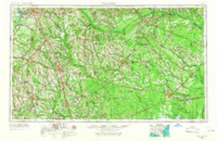
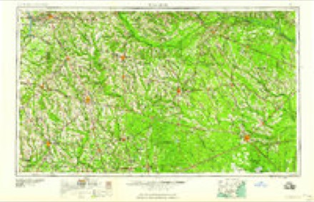
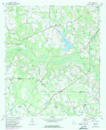
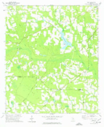
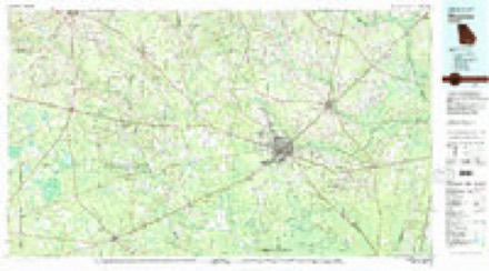
8 topographic sheets cover this place, the earliest surveyed in 1953 and the latest in 1988. It stands in the Douglas census division. It lies in ZIP code area 31650. The Survey maps it on the Mora quadrangle.
Topographic sheets covering this place
6 surveys from 8 printed sheetsMatched by testing this settlement's coordinate against the published boundary of every sheet in the United States Geological Survey's historical collection. Each opens the scanned sheet at the Survey.
- 1953 USGS Waycross quadrangle1:250000, 2 printings
- 1958 USGS Waycross quadrangle1:250000, 2 printings
- 1972 USGS Mora quadrangle1:24000
- 1977 USGS Mora quadrangle1:24000
- 1978 USGS Waycross quadrangle1:100000
- 1988 USGS Waycross quadrangle1:250000
Fires near this place
339 since 1992Regional context, not property-specific evidence. The federal wildfire occurrence database lists 339 fires within 5 miles of Mora between 1992 and 2020, burning about 1,067 acres in total. 10 started naturally. 41 were recorded as arson. Distance is straight-line from the map coordinates, so a fire counted here may appear on a neighbouring settlement's page as well.
| Reported cause | Fires |
|---|---|
| Debris and open burning | 223 |
| Arson/incendiarism | 41 |
| Equipment and vehicle use | 28 |
| Missing data/not specified/undetermined | 14 |
| Misuse of fire by a minor | 12 |
| Natural | 10 |
| Recreation and ceremony | 6 |
| Smoking | 5 |
The most recent of them, most recent first, with the day each was reported and the service that recorded it.
| Date | Cause | Size | Reported by | Name on the report |
|---|---|---|---|---|
| 30 September 2006 | Smoking | under an acre | Georgia Forestry Commission | not named |
| 29 September 2019 | Debris and open burning | 1.1 acres | Georgia Forestry Commission | FY2020COFFEE016 |
| 29 September 2006 | Equipment and vehicle use | 12 acres | Georgia Forestry Commission | not named |
| 25 September 2008 | Missing data/not specified/undetermined | under an acre | Georgia Forestry Commission | not named |
| 22 September 1994 | Arson/incendiarism | 2.0 acres | Georgia Forestry Commission | not named |
| 20 September 2005 | Debris and open burning | under an acre | Georgia Forestry Commission | not named |
| 13 September 2003 | Arson/incendiarism | under an acre | Georgia Forestry Commission | not named |
| 13 September 1996 | Debris and open burning | 3.3 acres | Georgia Forestry Commission | not named |
Settlements close enough to share some of these fires:
Storms near this place
16 since 1998Regional context, not property-specific evidence. The National Weather Service names Mora in 16 storm reports between 1998 and 2024: 10 thunderstorm wind, 3 hail, 2 tornado, 1 flood. No death or injury is recorded in these reports. Each account below is quoted exactly as the forecast office filed it, from the NOAA Storm Events Database, and each date opens the federal record of that event.
| When | Event | Place named | Harm | What the report says |
|---|---|---|---|---|
| March 2024 | Hail | Mora | - | The public shared pictures of quarter size hail on social media. |
| July 2023 | Thunderstorm Wind | Mora | - | A tree was blown down on a power line on Red McKinnon Road. The time of damage was based on radar. |
| July 2023 | Thunderstorm Wind | Mora | - | Trees were blown down along Mora Road. The time of damage was based on radar. |
| April 2021 | Tornado (EF2) | Mora | - | A supercell thunderstorm crossed the southern tier of Coffee county and produced a tornado that impacted SW Douglas. Initial debris included large snapped trees and begin near Hebron Church, south of GA Highway 158 in Willacoochee, GA. The most extensive damage occurred in Baymeadows Estates, a community where numerous homes suffered wind and tree damage consistent with low-end EF2 tornado damage. The tornado maintained an ESE heading and impacted the Bear Creek mobile home community where numerous pine trees were snapped. The damage path consisted of snapped trees eastward and ended near Carver Baptist Church. Peak winds were estimated at 116 mph. |
| April 2021 | Thunderstorm Wind | Mora | - | Trees and power lines were blown down near Paradise Lane. An overturned vehicle was in the ditch and the occupant was not able to be reached at the time of the report due to downed power lines. |
| March 2019 | Thunderstorm Wind | Mora | - | Trees and power lines were blown down. The time of damage was based on radar. |
| April 2019 | Thunderstorm Wind | Mora | - | A tree was blown down and a greenhouse was damaged near Basswood Road and Island Drive. |
| May 2019 | Thunderstorm Wind | Mora | - | A tree was blown down at the intersection of Highway 158 and Hebron Church Road. The time of damage was based on radar. |
| August 2018 | Thunderstorm Wind | Mora | - | Trees were blown down SW of Douglas. The time of damage was based on radar. |
| January 2017 | Tornado (EF1) | Mora | - | This tornado begin in northern Atkinson county and tracked NE around 50 mph across southern Coffee county before it lifted near Mora Road. As the tornado moved across Coffee, it produced EF1 damage with peak winds near 110 mph. The tornado crossed the Atkinson/Coffee county line across Brawns Johnson Road near a residence within the 400 block. Extensive tree damage including snapped and leveled pine trees and some damage to hard woods was observed along the tornado track including along Talmadge McKinnon Road, Brawns Johnson Road and along portions of the Mora Highway between County Roads 48 and 30 where four chicken houses were damaged, including two completely destroyed. There was also additional extensive property damage to agricultural structures occurred along this path. |
| August 2017 | Thunderstorm Wind | Mora | - | Winds blew down power lines between Douglas and Withlacoochee. |
| February 2015 | Hail | Mora | - | Penny size hail was reported near Mora Road and Victory Road. Witness may have also seen a gustnado in the field. |
| July 2013 | Thunderstorm Wind | Mora | - | Trees were blown down along Cypress Pond Road. The time of damage was based on radar imagery. |
| August 2011 | Thunderstorm Wind | Mora | - | Trees were blown down along Mora Road and Bridgetown Road. |
| April 2009 | Flood | Mora | - | A dam break due to heavy rainfall occurred at a spillway from Lake Hillard in Coffee County. Twenty families were evacuated. The width of the dam break was about 75 feet. |
| May 1998 | Hail | Mora | - | no account filed |
Nearest settlements
The eight closest, with where each one stands in the county. Distances are straight-line, computed from the Geographic Names Information System coordinates.
| Map | Place | Distance | Sheets |
|---|---|---|---|
| Bay Meadows | 3.7 miles | 8 | |
| Bethel | 5.3 miles | 8 | |
| Bridgetown | 5.7 miles | 9 | |
| Upton | 8.1 miles | 7 | |
| Douglas | 8.5 miles | 8 | |
| Bushnell | 10.1 miles | 7 | |
| Blystonel | 10.1 miles | 8 | |
| Oak Park | 10.4 miles | 8 |
Provenance
This settlement is recorded in the Geographic Names Information System as feature 332415. The sheet list is computed by point-in-boundary test against the United States Geological Survey's historical topographic inventory. Both are works of the United States government and carry no copyright under 17 U.S.C. 105.
Wildfire. Short, Karen C. 2022. Spatial wildfire occurrence data for the United States, 1992-2020 [FPA_FOD_20221014]. 6th Edition. Fort Collins, CO: Forest Service Research Data Archive. https://doi.org/10.2737/RDS-2013-0009.6 Collected with United States Government funding and usable without additional permissions or fees.
Storms. NOAA National Centers for Environmental Information, Storm Events Database https://www.ncei.noaa.gov/stormevents/ A work of the United States government, no copyright under 17 U.S.C. 105. Narratives are quoted verbatim from the National Weather Service report and are not edited or summarised.