 Block
From the record
3 National Register listings published here.
Sources: the National Register database, National Park Service
49 topographic sheets cover 13 settlements here, and 3 properties are on the National Register of Historic Places.
3 National Register listings published here.
Sources: the National Register database, National Park Service
Every property in this county listed on the National Register of Historic Places, with the year it was listed and the federal nomination document.
| Photograph | Property | Type | Listed | Reference |
|---|---|---|---|---|
 | Dawson County Courthouse | building | 1980 | 80001010 |
 | Dawson Couty Jail | building | 1985 | 85002083 |
 | Boyd and Sallie Gilleland House | building | 2009 | 09000268 |
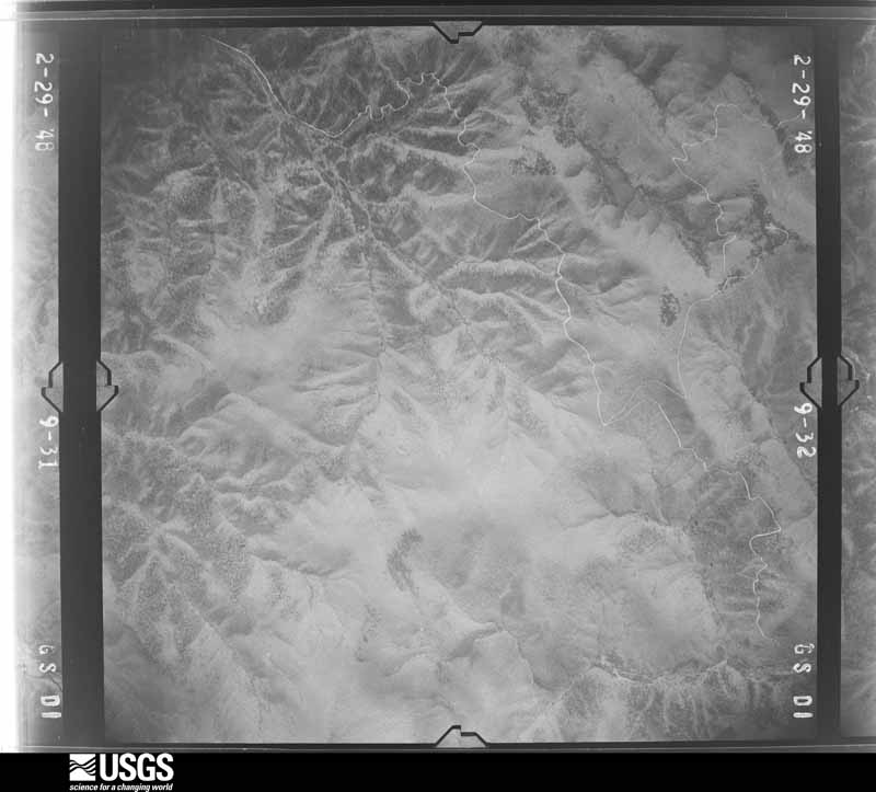
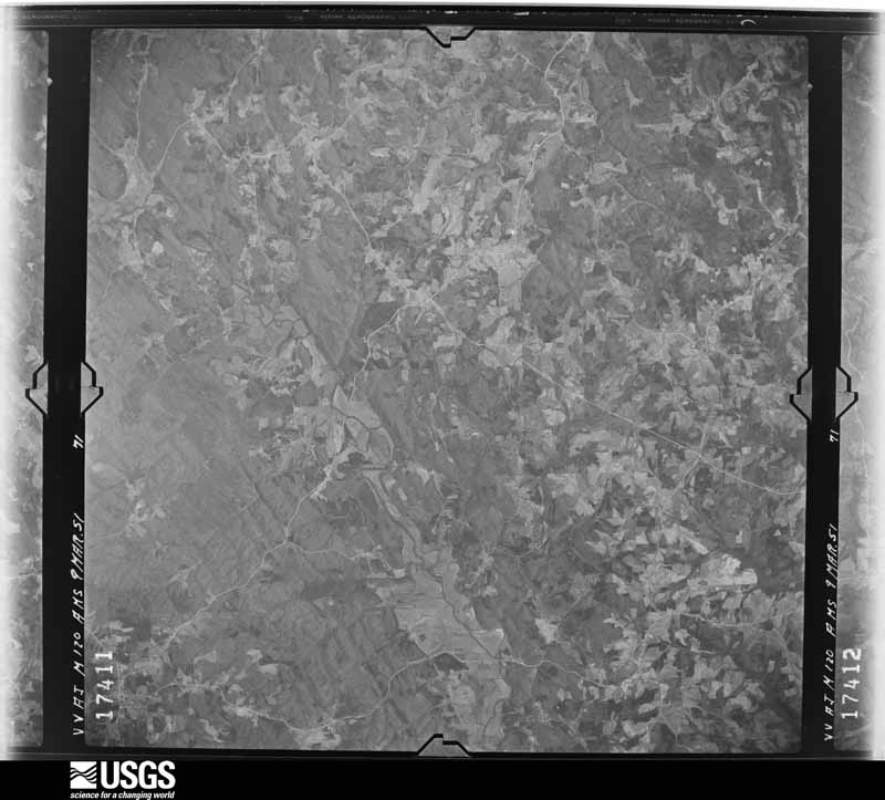
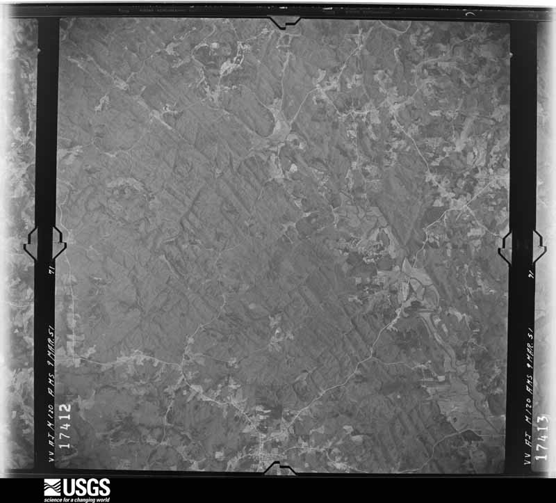
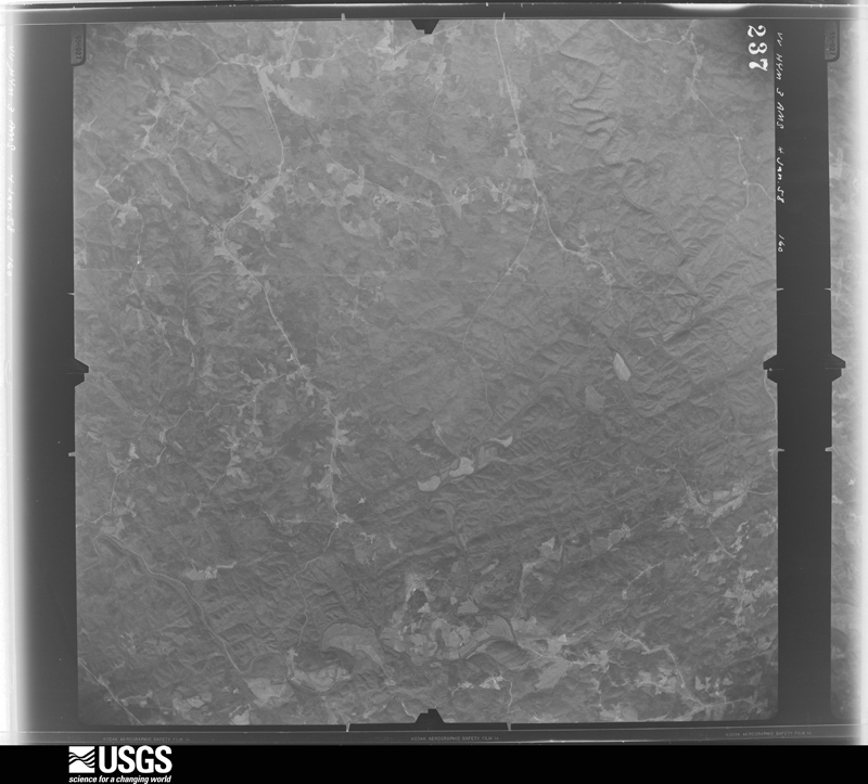
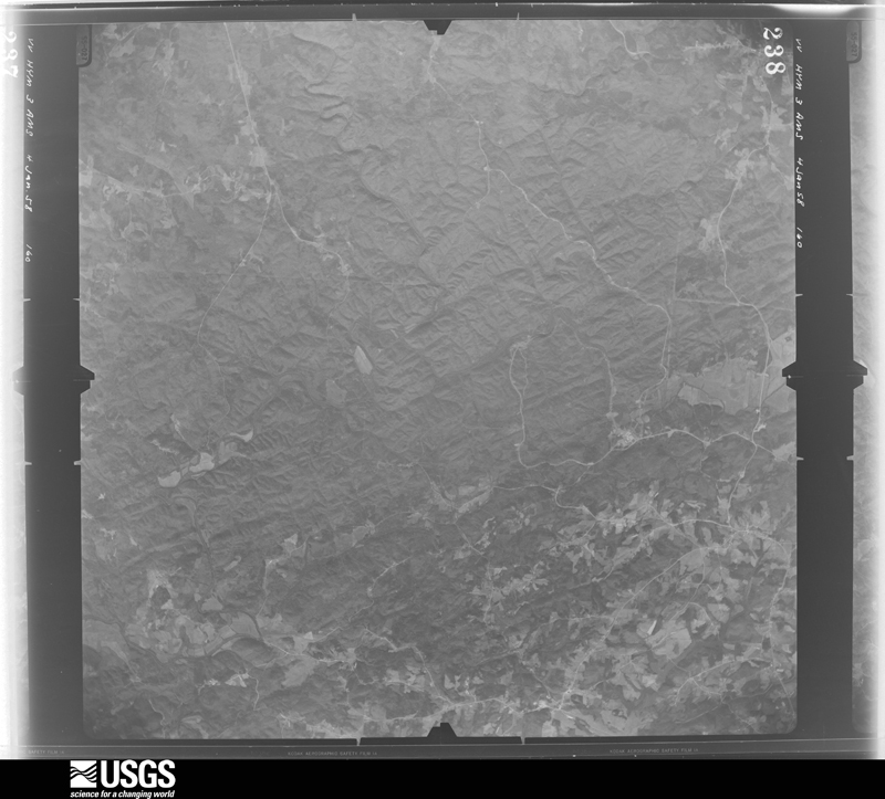
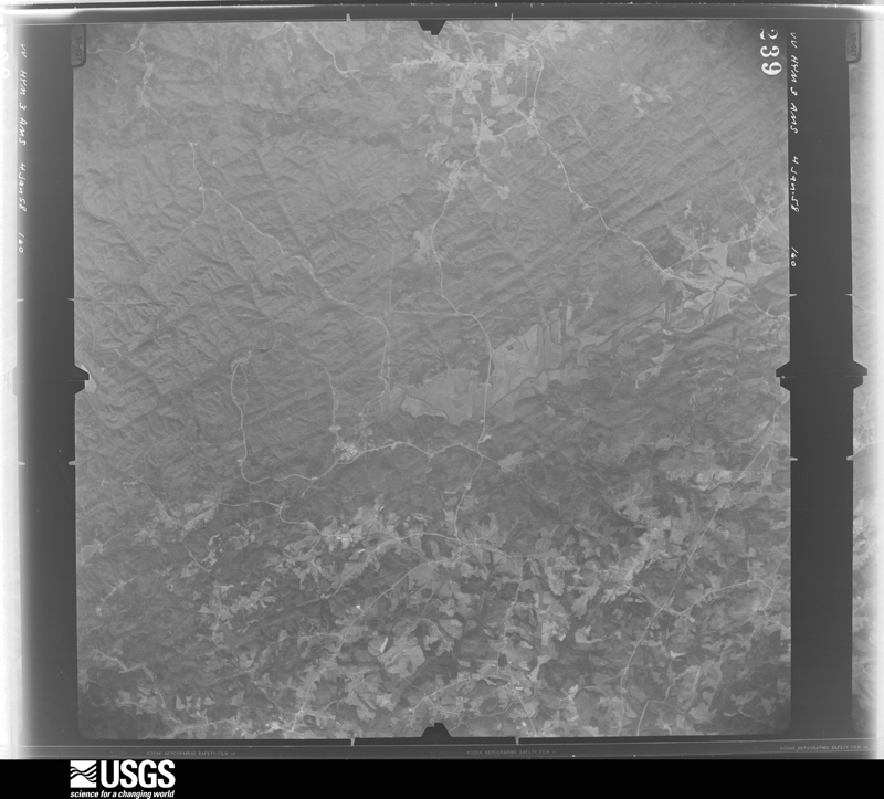
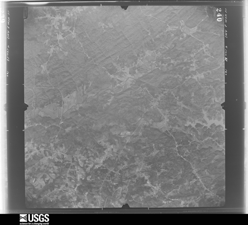
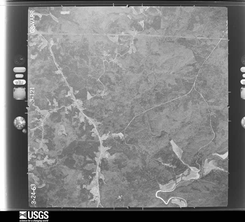
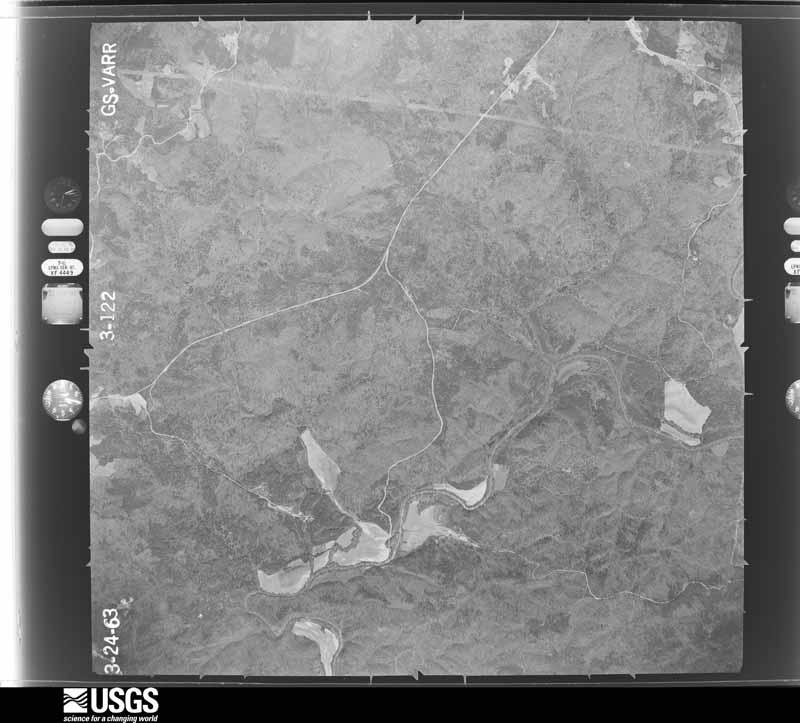
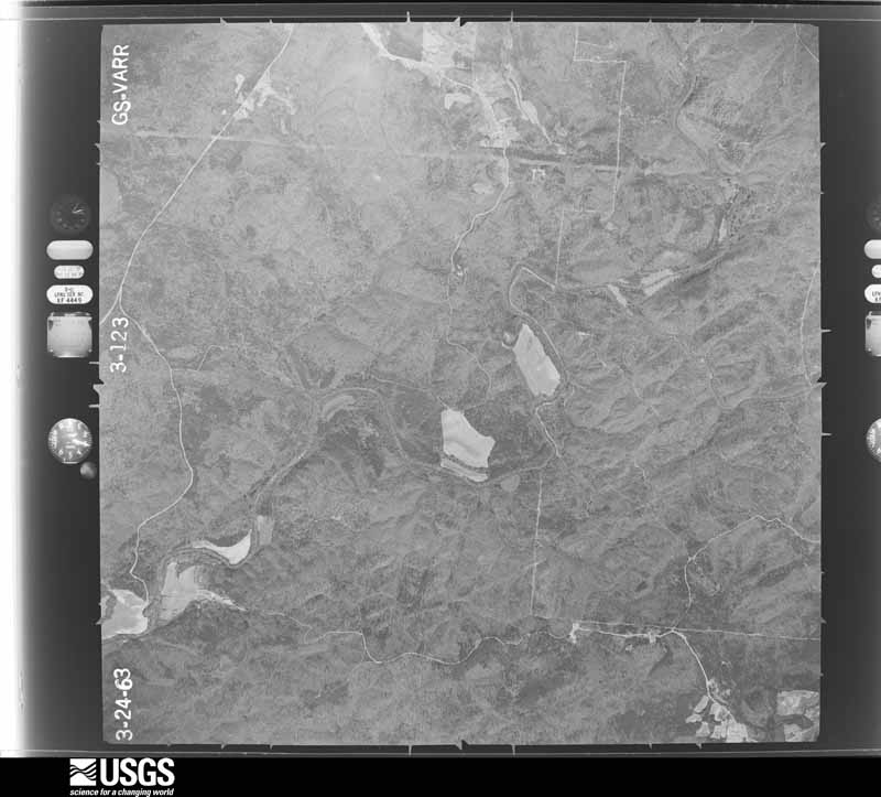
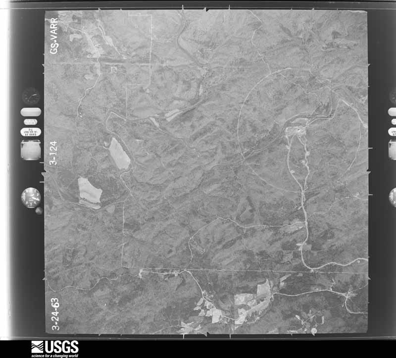
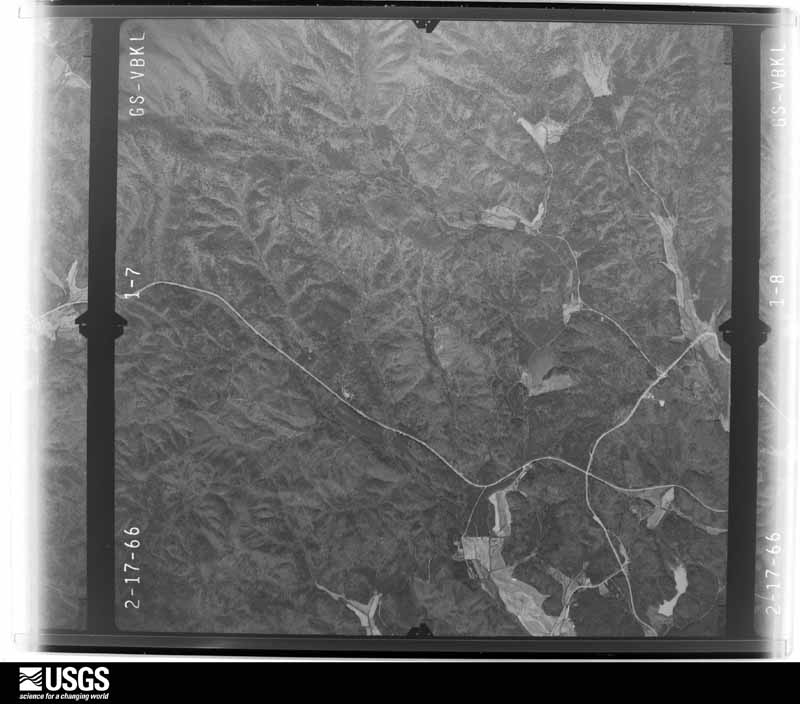
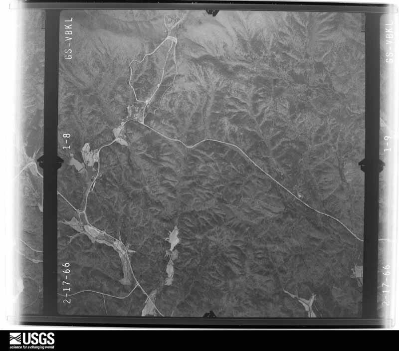
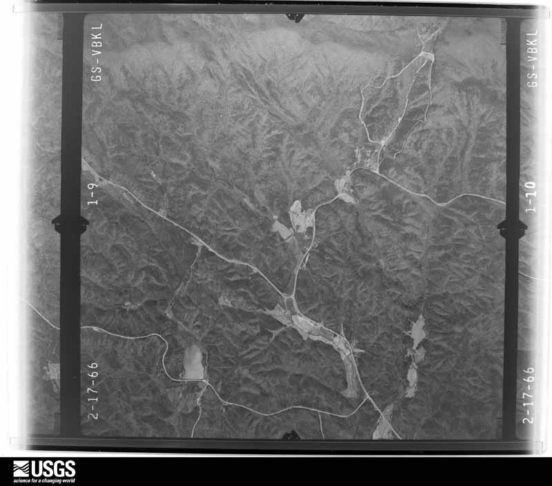
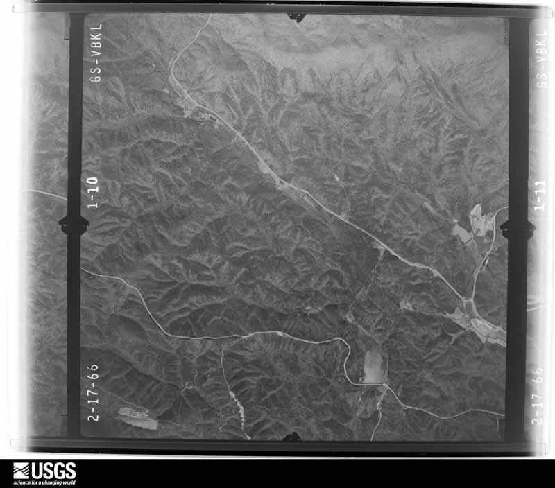
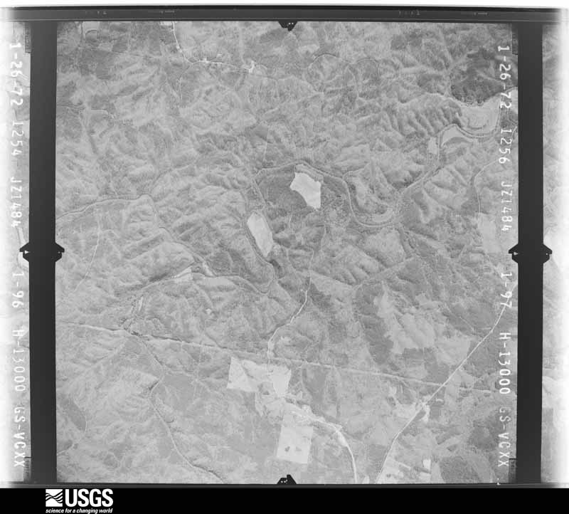
Flown by the U.S. Geological Survey between 1937 and 1989, the Aerial Photo Single Frames collection is the definitive mid-century view of the land: fields, roads and rivers as the camera saw them. The Survey holds 688 frames inside the rectangle that bounds this county; the 29 frames below were taken over the county itself, chosen across the decades of flights (at most four a year from that rectangle), so one flight cannot crowd out the rest. The full set is free to browse and download at EarthExplorer under the dataset Aerial Photo Single Frames.
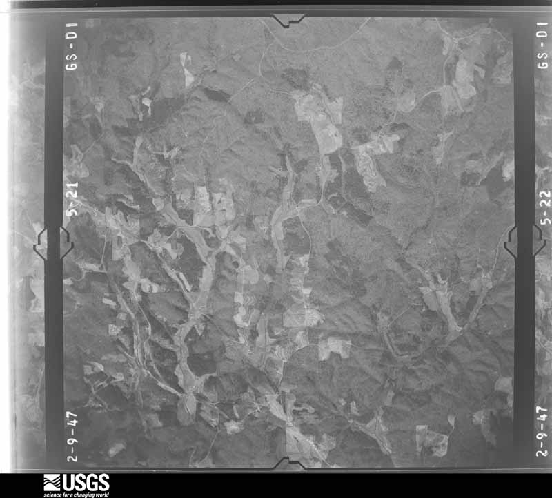
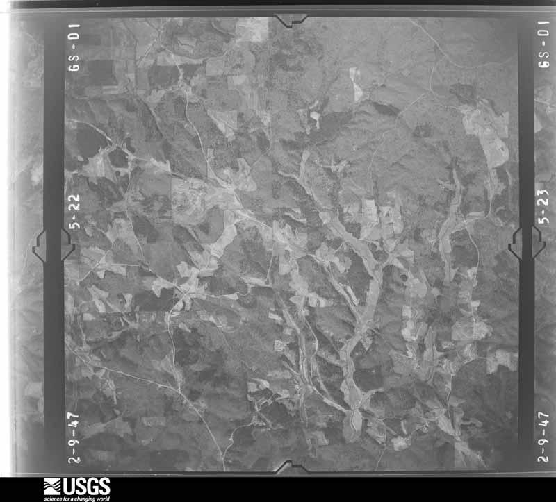
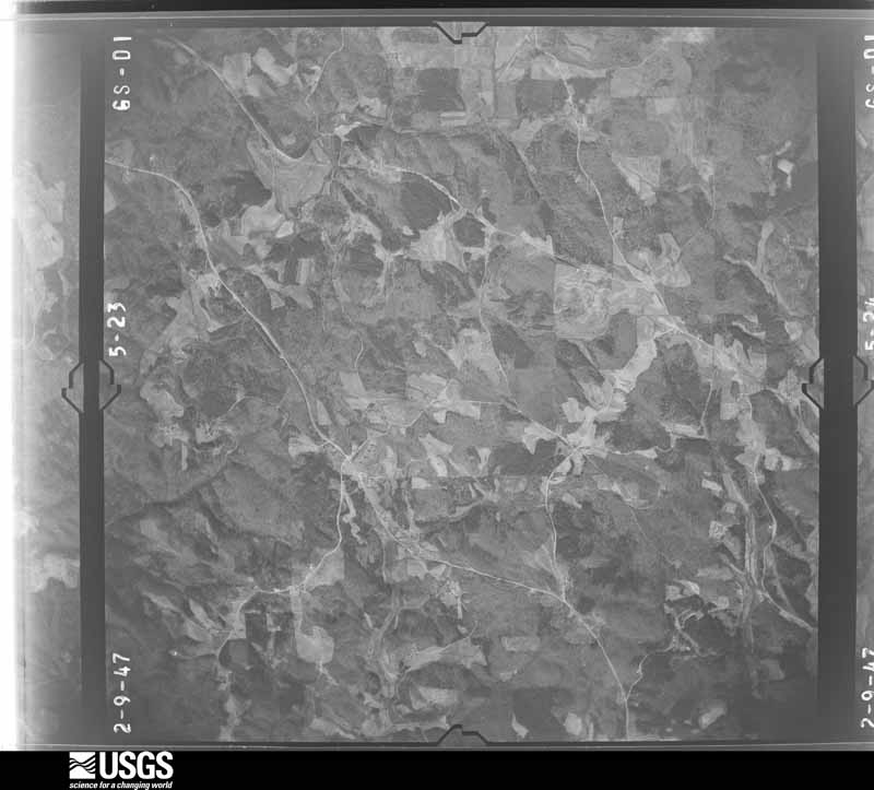
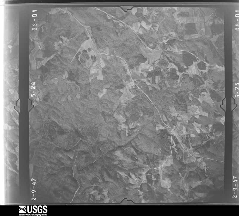
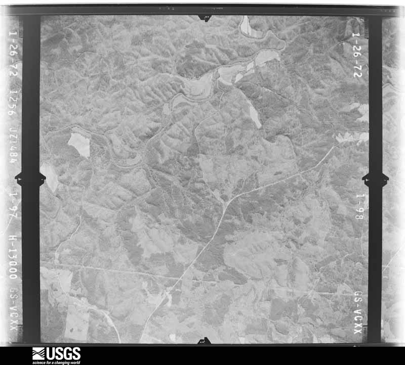
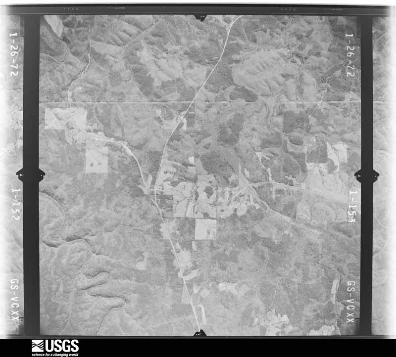
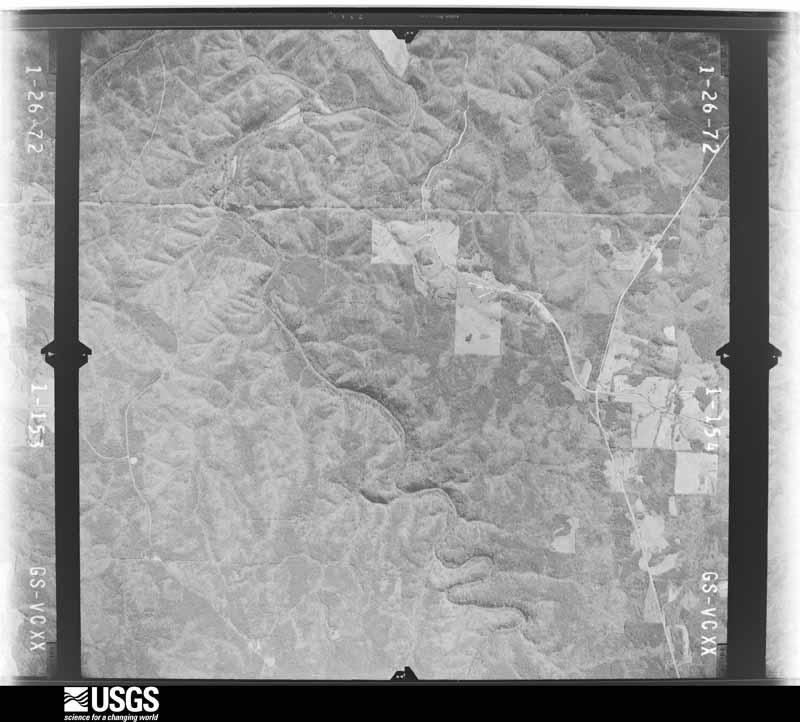
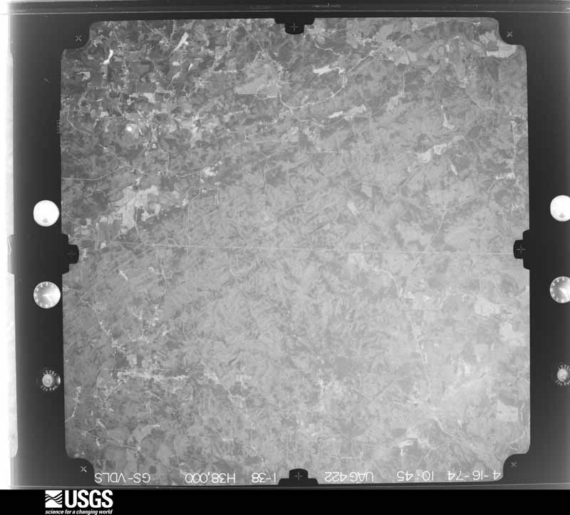
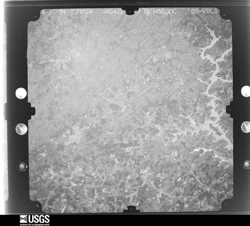
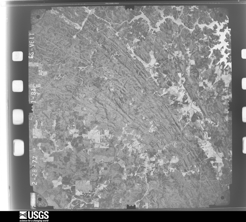



The thermometers that kept this county's weather, and the gages that measured the flow of its streams, as the federal records hold them. The extremes below are measured values from those records, not estimates.
Who lived here in 1950, one enumeration district at a time, as the Census Bureau described each district. Each row opens its official National Archives result, with Population Schedules and ED Maps available there.
Every wildfire the federal occurrence database records inside this county: 576 of them, burning about 1,770 acres. 11 started naturally and 160 were recorded as arson. Each settlement page carries the fires within five miles of it.
| Reported cause | Fires |
|---|---|
| Debris and open burning | 297 |
| Arson/incendiarism | 160 |
| Missing data/not specified/undetermined | 50 |
| Recreation and ceremony | 18 |
| Misuse of fire by a minor | 15 |
| Smoking | 13 |
| Natural | 11 |
| Equipment and vehicle use | 11 |
| Fireworks | 1 |
The five largest, by the area the report gives. Three of them were set deliberately.
| Date | Cause | Size | Reported by | Name on the report |
|---|---|---|---|---|
| 24 November 2012 | Missing data/not specified/undetermined | 455 acres | Chattahoochee-Oconee National Forest | BLACK MTN |
| 8 March 1992 | Arson/incendiarism | 87 acres | Georgia Forestry Commission | not named |
| 21 April 1999 | Natural | 60 acres | Georgia Forestry Commission | not named |
| 18 March 2001 | Arson/incendiarism | 56 acres | Georgia Forestry Commission | FY2001-CHATTOOGA-076 |
| 7 March 2000 | Debris and open burning | 47 acres | Georgia Forestry Commission | FY2000-DAWSON-013 |
| 4 April 2006 | Debris and open burning | 40 acres | Georgia Forestry Commission | not named |
| 17 April 2006 | Debris and open burning | 31 acres | Georgia Forestry Commission | not named |
| 23 March 2007 | Arson/incendiarism | 21 acres | Georgia Forestry Commission | not named |
Every settlement page carries the fires within five miles of it - see the settlement index below.
The NOAA Storm Events Database holds 195 reports for this county, causing 6 deaths, 17 injuries and about $7,381,450 in recorded property damage. Each settlement page carries the reports that name it.
| Kind of event | Reports |
|---|---|
| Thunderstorm Wind | 114 |
| Hail | 48 |
| Flash Flood | 17 |
| Lightning | 9 |
| Tornado | 4 |
| Funnel Cloud | 1 |
| Flood | 1 |
| Winter Storm | 1 |
The most serious of them, by death, then injury, then recorded damage. The accounts are quoted exactly as the forecast office filed them.
| When | Event | Place named | Harm | What the report says |
|---|---|---|---|---|
| April 1974 | Tornado (F4) | not stated | 5 killed, 13 hurt, $2,500,000 | no account filed |
| July 2014 | Lightning | Dawsonville | 1 killed | The Lumpkin County Emergency Manager reported that a woman was struck by lightning while trimming hedges at a location off Crawford Falls Road off GA Highway 9. The woman was transported to the hospital and died as a result of her injuries on July 15, 2014. |
| November 2002 | Tornado (F2) | Juno | 3 hurt, $200,000 | The Dawson county Emergency Management Director reported that the tornado that originated in Cherokee county and traveled across Pickens county, entered Dawson county in the Big Canoe area and continued to just east-northeast of the Big Canoe area before dissipating. Two double-wide mobile homes were completely destroyed just east of the Big Canoe area as large trees fell on the structures. While the contents of one were salvagable, those of the other were destroyed. Three injuries occurred at one of these mobile homes as the residents were trapped by the downed trees on the structure. In addition, there were four other homes that received minor damage in the Big Canoe area. Numerous trees and power lines were blown down in the area of the tornado and some roads were temporarily blocked as a result. Dawson county was one of five counties declared in a state of emergency by the governor. |
| July 2010 | Thunderstorm Wind | Bright | 1 hurt, $25,000 | The Dawson County Emergency Management Director reported that two trees were blown down along Old Savannah Place off Thompson Road. One of the trees fell on a trailer causing significant damage to the trailer and injuring a woman inside. |
| March 2008 | Hail | Dawsonville | $1,000,000 | An amateur radio operator reported baseball-sized hail in eastern Dawson county. |
| February 2005 | Lightning | Dawsonville | $600,000 | The Dawson News & Advertiser reported that lightning struck and destroyed a $600,000 home in the Ridgeview community. |
| January 1995 | Thunderstorm Wind | Dawsonville | $500,000 | Thunderstorm winds destroyed five chicken houses and a shed along Georgia Highway 52. In addition, a barn and a chicken house were damaged. A mobile home was also severely damaged by the tornado. |
| March 2008 | Hail | Dawsonville | $300,000 | The public observed golf ball-sized hail. |
| September 2004 | Flash Flood | Countywide | $250,000 | The Georgia Emergency Management Agency reported that significant flooding was reported across many areas of Dawson County. Four mobile homes were flooded, two bridges were breached because of flood waters, six culverts were washed away or damaged, and one dam was breached. Several roads throughout the county were flooded and closed as well. |
| November 2002 | Lightning | Dawsonville | $250,000 | The Dawson News and Advertiser reported that lightning struck and destroyed two homes in extreme western Dawson county near the Pickens county border on Mulkey Road. Eight people were left homeless as a result. A vehicle also suffered extensive damage at one of the residences. In addition, one family lost one of their pets in the fire. |
| July 2018 | Thunderstorm Wind | Emma | $200,000 | Dawson County EMA reported numerous trees down, some on structures, along North Seed Tick Road east of Dawsonville. At least nine homes received damage from falling trees, three with major damage. One falling tree drove a fence post through a water main on N. Seed Tick Road. No injuries were reported. |
| July 2003 | Lightning | Countywide | $150,000 | The Dawson News and Advertiser reported that lightning strikes caused several fires around the county, especially the western portion, and killed a rare white Siberian Tiger at a local zoo. Two homes were struck and set on fire by lightning, one being a total loss in the Big Canoe area where a small forest fire also erupted from another lightning strike. Another home was set on fire in Dawsonville, which sustained minor damage and a gas line was also struck near another home. |
| July 1997 | Thunderstorm Wind | Juno | $125,000 | Thunderstorm winds associated with a downburst destroyed one chicken house, and damaged another chicken house and a mobile home. More than 37,000 baby chicks were injured. The surviving chicks were given away, since the owner would not rebuild the lost chicken houses. |
| April 2008 | Thunderstorm Wind | Dawsonville | $100,000 | A damage survey conducted by the Cherokee and Dawson county emergency managers confirmed that the damage caused by thunderstorm straight-line winds in northern Cherokee county continued into southwest and central Dawson county. The area of damage began just south of the Hollis Q. Latham Reservoir along the Cherokee/Dawson county line and continued on an east-northeastward track across the southern part of the county crossing Georgia Highway 53 near Dougherty and ended near Georgia Highway 400. Georgia Highway 53 was blocked from downed trees west of Georgia Highway 400. Numerous trees and power lines were down throughout the damage area. Several trees were down on homes causing minor to moderate roof damage. |
| July 2000 | Thunderstorm Wind | Dawsonville | $70,000 | The Dawson county Emergency Management Director, amateur radio operators, the Dawson News and Advertiser, and the public all reported extensive amounts of trees and power lines down across the county. The majority of the damage took place along Georgia Highway 53 from the western end of the county, through Dawsonville, to the eastern end of the county, including Georgia Highway 9. Hundreds of trees, along with power lines, were reported down along Georgia Highway 53. In addition, The First Baptist Church's Youth Center in Dawsonville was damaged and a car on Georgia Highway 9 was leveled by a large oak tree. Several other homes sustained damage in the county. A natural gas line was ruptured by a very large uprooted oak tree on West Highway 53. The damage was caused by a supercell thunderstorm that spawned an F0 to weak F1 tornado after moving further east into Hall and Banks counties. |
| July 2005 | Thunderstorm Wind | Dawsonville | $60,000 | The Dawson County Emergency Manager reported that a thunderstorm with a microburst or downburst caused significant damage in a localized area about three miles east of Dawsonville. Eight homes and three vehicles suffered significant damage. One vehicle was destroyed when a large tree fell on it. Several fences were also damaged. All together, it was estimated that around 125 trees were down in the area. |
| June 2025 | Thunderstorm Wind | Hubbardsville | $50,000 | Widespread wind damage swath with numerous trees down and ground observations of gusts in excess of 89mph across the southern portion of Dawson County. |
| August 2024 | Thunderstorm Wind | Afton | $50,000 | Approximately 50 trees were reported down in big canoe in the vicinity of petit ridge drive and indian pipe drive. |
| July 2023 | Thunderstorm Wind | Mc Kee | $50,000 | Reports of 50 to 60 trees down including 1 tree down on a home and 1535 power outages across Dawson County. |
| February 2020 | Flash Flood | Bright | $50,000 | The Emergency Manager reported multiple structures along Pinebridge Drive were impacted by flooding of Black Mill Creek. Radar estimates indicate that 3 to 5 inches of rain occurred in the area, falling on already wet soils and resulting in flash flooding. |
| June 2020 | Thunderstorm Wind | Afton | $50,000 | The Dawson County Emergency Manager reported several trees blown down across the county from the Juno area to Dawsonville. Trees fell onto structures in the 600 block of Highway 53 East and in the 3000 block of Afton Road. |
| May 2013 | Flash Flood | Lumpkin | $50,000 | The USGS stream gage on the Etowah River reached flood stage of 13 feet. The river crest at 15.9 feet. Moderate flooding occurred with several road closures. Etowah River Road was completely washed out where the dirt portion of it parallels the river. The road is expected to be closed for the next 2 weeks for repairs. A landslide occurred on a portion of Georgia Highway 53 near War Hill Park Road. Two feet of mud covered one lane with only one lane passable. |
| July 2007 | Thunderstorm Wind | Dawsonville | $50,000 | The public and the Dawson County 911 Center reported that many trees were down throughout Dawsonville and south and east of Dawsonville. The roof was blown off a store in the southeast part of Dawsonville and onto an adjacent vehicle. The public estimated that winds were in the 50 to 60 mph range for up to 15 minutes. |
| September 2002 | Flash Flood | Dawsonville | $50,000 | The Dawson county Emergency Management Director reported that very heavy rain, upwards of 2 inches in a 30 minute to one hour period washed out a road and six foot culvert to a subdivision in the southeastern portion of the county. This was the only road in/out of the subdivision. Hence, several families were stranded as a result. This water was part of the runoff into Toto Creek which eventually flows into Lake Sidney Lanier. |
| March 2017 | Thunderstorm Wind | Juno | $40,000 | The Dawson County Emergency Manager reported trees and power lines blown down and wind damage to structures across the southern half of the county. A house on Sweetwater Juno Road sustained roof damage, a house along River Valley Road had roof and siding damage and a metal building on Grizzle Road had roof damage. |
| August 2020 | Thunderstorm Wind | Lumpkin | $30,000 | The Dawson County Emergency Manager reported a portion of the metal roof was blown off of a strip mall around the intersection of Highway 400 and Highway 53. The debris landed onto power lines behind the building, severing the lines. |
| April 2020 | Thunderstorm Wind | Lumpkin | $25,000 | Substantial wind damage in the area of Kilough Church Road. One structure was damaged due to a falling tree. |
| July 2018 | Thunderstorm Wind | Amicalola | $25,000 | The Dawson County Emergency Manager reported multiple trees blown down across the east side of the county from Amicalola Falls State Park to an area near New Bethel Church Road and Highway 136. |
| August 2013 | Flash Flood | Juno | $25,000 | Dawson County officials reported several drainage branches and streams were flooding portions of roads primarily north and southeast of Dawsonville. Some of the roads included Grizzle Road, Harry Sosebee Road, Tanner Hall Road, Blacks Mill Road and Nix Bridge Road. A house and car were damaged by flood waters in the 2700 block of Lumpkin Campground Road. |
| March 2011 | Thunderstorm Wind | Juno | $25,000 | The public reported that damaging straight-line thunderstorm winds caused considerable damage to trees and property around Dawsonville. Dozens of trees were blown down and several homes sustained at least minor damage. One individual reported that almost two-dozen shingles were blown off the roof of their home by the high winds. |
| August 2011 | Thunderstorm Wind | Amicalola | $25,000 | The Dawson County Emergency Management Director reported that at least 25 trees were down, mainly across the western half of the county. At least four trees were down on power lines and one tree was down on a structure causing minor damage. |
| July 2003 | Flash Flood | West Portion | $25,000 | The Dawson county Emergency Management Director reported that excessive rainfall had forced several creeks out of their banks across the western portion of the county near Juno. At least four roads across the county had to be closed because of flooding. In addition, a car was washed off Turnell Creek Road near Juno. |
| April 1954 | Tornado (F1) | not stated | $25,000 | no account filed |
| June 2019 | Thunderstorm Wind | Johntown | $20,000 | The Dawson County Emergency Manager reported numerous trees and power lines blown down across the county from near Amicalola Falls State Park through Dawsonville to near Lumpkin. |
| July 2018 | Thunderstorm Wind | Johntown | $20,000 | The Dawson County Emergency Manager reported trees and power lines blown down across the northern half of the county from around the Gilmer County line on Highway 52, southeast through Juno to west of Dawsonville along Highway 53. |
| September 2017 | Thunderstorm Wind | Dawsonville | $20,000 | The Dawson County 911 center reported numerous reports of trees and power lines blown down across the city of Dawsonville extending east and southeast to around the intersection of Highways 53 and 19. A sign was blown off of an overpass on Highway 19 and struck a vehicle, no injuries were reported. |
| January 2005 | Thunderstorm Wind | Amicalola | $20,000 | The Dawson County Emergency Management Director reported that straight-lined winds associated with a line of showers and thunderstorms destroyed a 3-year old chicken house in the Amicalola Falls area. |
| June 2021 | Thunderstorm Wind | Lumpkin | $15,000 | The Dawson County Emergency Manager reported trees and power lines blown down in the Lumpkin area of southeast Dawson County. One tree fell onto a house and power lines along West Mountainside Drive. |
| June 2011 | Thunderstorm Wind | Johntown | $15,000 | The Dawson County 911 Center reported that up to 50 trees were down across the county. |
| November 2004 | Thunderstorm Wind | Countywide | $15,000 | The public and the Dawson County 911 Center reported that a good number of trees and several power lines were down across the county. The worst damage was in the area from the northwest part of the county to around Dawsonville. |
| June 2001 | Lightning | Dawsonville | $15,000 | The Dawson County Emergency Management Director reported that lightning struck two homes and one business. One home, which sustained approximately $15,000 damage, was located in the extreme western part of the county in the Big Canoe Resort Area. The other home, which sustained approximately $5,000 damage was located about 1 mile south of downtown Dawsonville. The business that was struck was located about 2 miles south of Dawsonville, but sustained no significant damage. |
| November 2020 | Thunderstorm Wind | Dawsonville | $10,000 | The Dawson County Emergency Manager reported trees and power lines blown down from Stegall Place in the Dawsonville area to The Elliot Family Parkway and Greenway Road around Juno. |
| August 2015 | Thunderstorm Wind | Juno | $10,000 | The Dawson County Emergency Manager reported numerous trees blown down across the county including on Highway 53 at Tinsley Road, on Cowart Road, on Steve Tate Highway and on Grover Burt Road at Highway 136. |
| April 2011 | Thunderstorm Wind | Dawsonville | $10,000 | Amateur radio operators relayed reports that several trees and power lines were down across the central portion of the county. |
| September 2009 | Flood | Hubbardsville | $10,000 | USGS stream gages indicated that minor flooding continued along the Etowah River and associated creeks and streams across the southern portion of the county. Monetary damage was estimated to be $10,000 in the form of debris removal alongside the flooded creeks and streams. |
| April 2008 | Lightning | Dawsonville | $10,000 | The Dawson county Emergency Management Director reported that lightning struck a home setting it on fire. The fire was extinguished by the homeowner with resulting minimal damage. |
| April 1998 | Flash Flood | Juno | $10,000 | Dawson county 911 reported Scott Bailey Road was washed out. |
| May 2021 | Thunderstorm Wind | Afton | $8,000 | The Dawson County Emergency Manager reported numerous trees blown down across the county from the Fausett Lake area across Juno and Dawsonville to around Lumpkin. |
| May 2019 | Thunderstorm Wind | Afton | $8,000 | Local fire department reported multiple trees down along Bailey Waters Road near Hwy 52. Ground was also covered by pea sized hail. |
| June 2019 | Thunderstorm Wind | Hubbardsville | $8,000 | Multiple reports of trees blown down across the southern end of the county. Some locations include along Kelly Bridge Road near Blue Bird Trail, Wind Ridge Drive and Rose Place, as well as Highway 9 near Mill Creek Drive and Grizzle Road near Kingston Court. |
| July 2005 | Lightning | Dawsonville | $8,000 | The Dawson County Emergency Management Director reported that two homes near the intersection of Georgia Highway 136 and Georgia Highway 9 were struck and set on fire by lightning. The fires were contained quickly resulting in minimal damage to the structures. |
| May 2020 | Thunderstorm Wind | Johntown | $7,000 | The Dawson County 911 center reported numerous trees blown down across and blocking Highway 52 near the Dawson-Gilmer County line. |
| June 2018 | Thunderstorm Wind | Silver City | $7,000 | The Dawson County 911 center reported several trees and a few power lines blown down across the southeast corner of the county. Damage stretched from around the intersection of A T Moore Road and Kelly Bridge Road west of Silver City to the Lumpkin area, including Clayton Wallace Road, Sweetgum Drive and Highway 53 north and south of GA400. |
| June 2015 | Thunderstorm Wind | Afton | $6,000 | The Dawson County 911 Center reported trees blown down along Highway 9 South and along Highways 136 and 183. |
| May 2007 | Thunderstorm Wind | Juno | $6,000 | The Dawson County Emergency Management Director reported that a thunderstorm downburst resulted in damage to a hen house and adjacent egg storage building on Brenda Lane off Georgia Highway 136 in the Juno community area of northwest Dawson county. There were also a couple of trees down on power lines in the area as well. Pea-sized hail was reported two miles north of McKee. |
| July 2024 | Thunderstorm Wind | Hubbardsville | $5,000 | Multiple trees down along Kellie Bridge Road between Cowart Road and Love Lady Road. |
| July 2023 | Thunderstorm Wind | Afton | $5,000 | Several medium sized trees downed at the intersection of Bear Cub Ridge and Sanderlin Mountain Drive. |
| May 2020 | Thunderstorm Wind | Afton | $5,000 | The Dawson County Emergency Manager reported several trees blown down across the eastern side of the county from around the intersection of Highway 52 and Bailey Waters Road north of Juno to Nix Road southeast of Dawsonville. |
| May 2019 | Thunderstorm Wind | Hubbardsville | $5,000 | Emergency manager reported multiple trees down in the west-central portion of the county. |
| October 2014 | Thunderstorm Wind | Mc Kee | $5,000 | The Dawson County Emergency Manager reported multiple trees down, some on power lines, along State Highway 53 and State Highway 136 west of Dawsonville. |
The Survey's mineral resources record lists 25 workings inside this county. None of them still produces: all are closed or unrecorded. Each settlement page carries the workings within five miles of it.
| Commodity | Workings |
|---|---|
| Gold | 25 |
The least common of them first, because a county's hundredth gravel pit says nothing its first ten did not.
| Where | Site | Commodity | Status | Recorded |
|---|---|---|---|---|
| Amicalola | Gold | Prospect | Vein, Some Placers | |
| Baby Pl. | Gold | Prospect | Vein, Some Placers | |
| Barrett | Gold | Prospect | Vein | |
| Barrett Au | Gold | Prospect | Vein | |
| Church | Gold | Prospect | Vein | |
| Cooper | Gold | Prospect | Vein | |
| Crawford | Gold | Prospect | Vein | |
| Ellsworth | Gold | Prospect | Vein, Some Placers | |
| G.E. Russell | Gold | Prospect | Vein | |
| Hammond | Gold | Prospect | Vein | |
| Hayes | Gold | Prospect | Vein | |
| Kim Mori Mines | Gold | Past Producer | Vein | |
| Looper | Gold | Past Producer | Vein | |
| Magic | Gold | Prospect | Vein, Some Placers | |
| Mcguire | Gold | Prospect | Vein Veined Zones | |
| Miller Pl. | Gold | Prospect | Vein, Some Placers | |
| Missing Link Mine | Gold | Past Producer | Vein | |
| Morse | Gold | Prospect | Vein | |
| Nina Head Placer | Gold | Past Producer | ||
| Palmour | Gold | Past Producer | Vein | |
| Proctor's | Gold | Prospect | Vein | |
| Scott (Old Steele) | Gold | Past Producer | Vein | |
| Shelton | Gold | Prospect | Vein | |
| Thompson | Gold | Prospect | Vein Veined Zones | |
| Vandiviere | Gold | Prospect | Vein |
Named settlements recorded in the Geographic Names Information System, each with the topographic sheets covering it. Villages, hamlets and abandoned places alike. Each is shown with the nearest named watercourse or landform and the survey quadrangle it falls on.
Dawsonville census division · 30148 · On Little Amicalola Creek · Nimblewill quadrangle
20 sheets, 1888 to 1997
Dawsonville census division · 30534 · Near Grogan Mountain · Amicalola quadrangle
17 sheets, 1888 to 1981
Blacks Mill census division · 30534 · Near Big Savannah · Matt quadrangle
22 sheets, 1890 to 1999
Dawsonville census division · 30534 · On Burt Creek · Dawsonville quadrangle
18 sheets, 1890 to 1997
Blacks Mill census division · 30534 · On Palmer Creek · Dawsonville quadrangle
18 sheets, 1890 to 1997
Dawsonville census division · 30534 · On Little Amicalola Creek · Nimblewill quadrangle
20 sheets, 1888 to 1997
Dawsonville census division · 30534 · Near Grogan Mountain · Amicalola quadrangle
17 sheets, 1888 to 1981
No longer a settlement
Blacks Mill census division · 30534 · On Lilly Creek · Dawsonville quadrangle
18 sheets, 1890 to 1997
Blacks Mill census division · 30534 · On Logan Creek · Coal Mountain quadrangle
19 sheets, 1890 to 1997
The vanished settlements of Dawson County: the places named above that are no longer on the map.