 Block
From the record
6 National Register listings published here.
Sources: the National Register database, National Park Service
33 topographic sheets and 9 fire insurance atlases across 1 place.
6 National Register listings published here.
Sources: the National Register database, National Park Service
Taken for the Office of War Information and the Farm Security Administration, who photographed the country between 1935 and 1944. Works of United States government photographers, with no known restriction on use. Each opens its catalogue record.
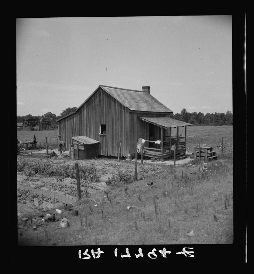
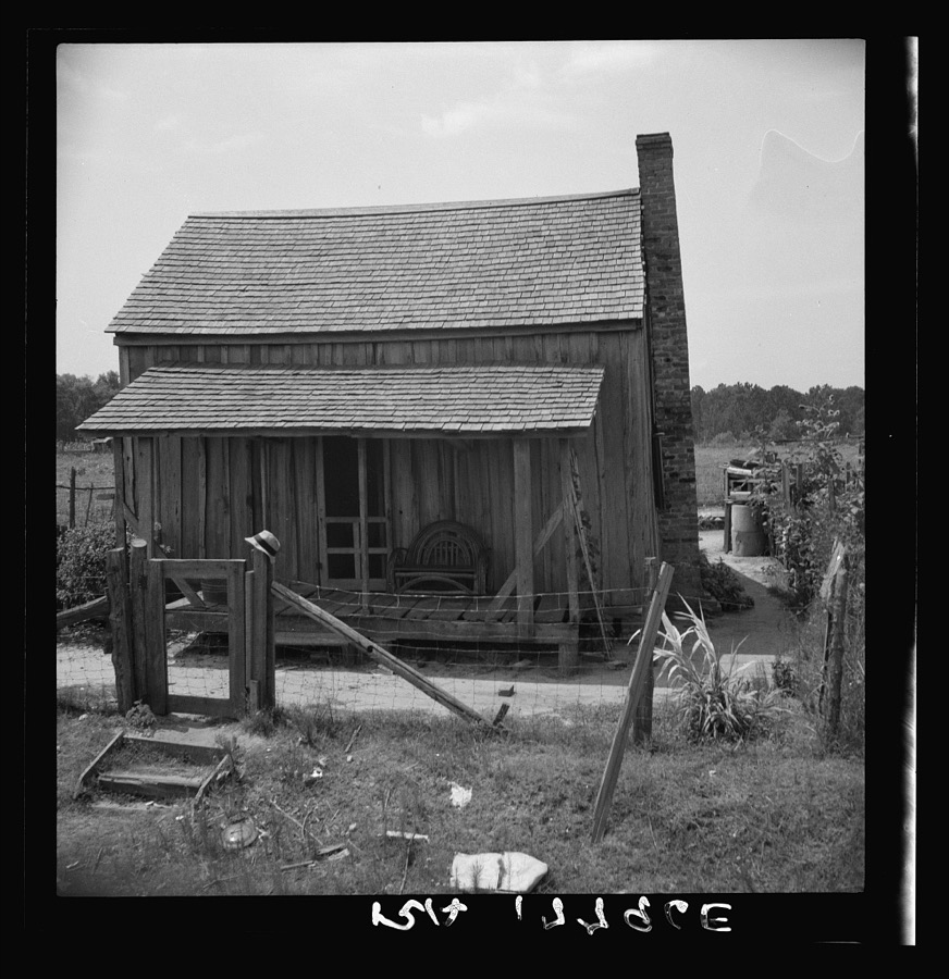
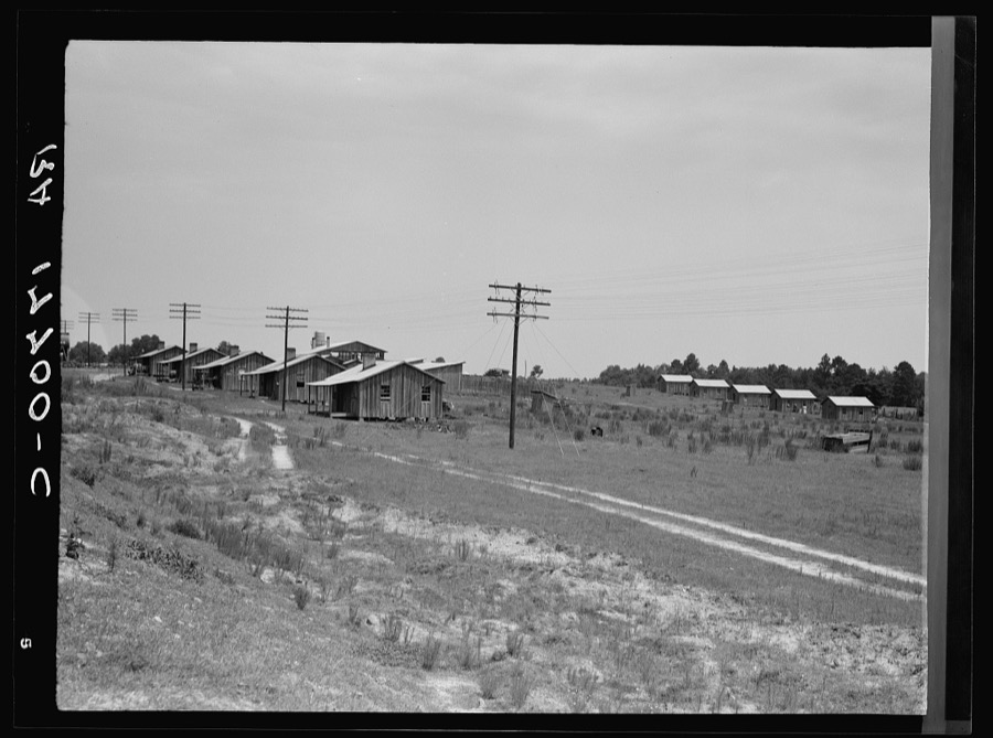

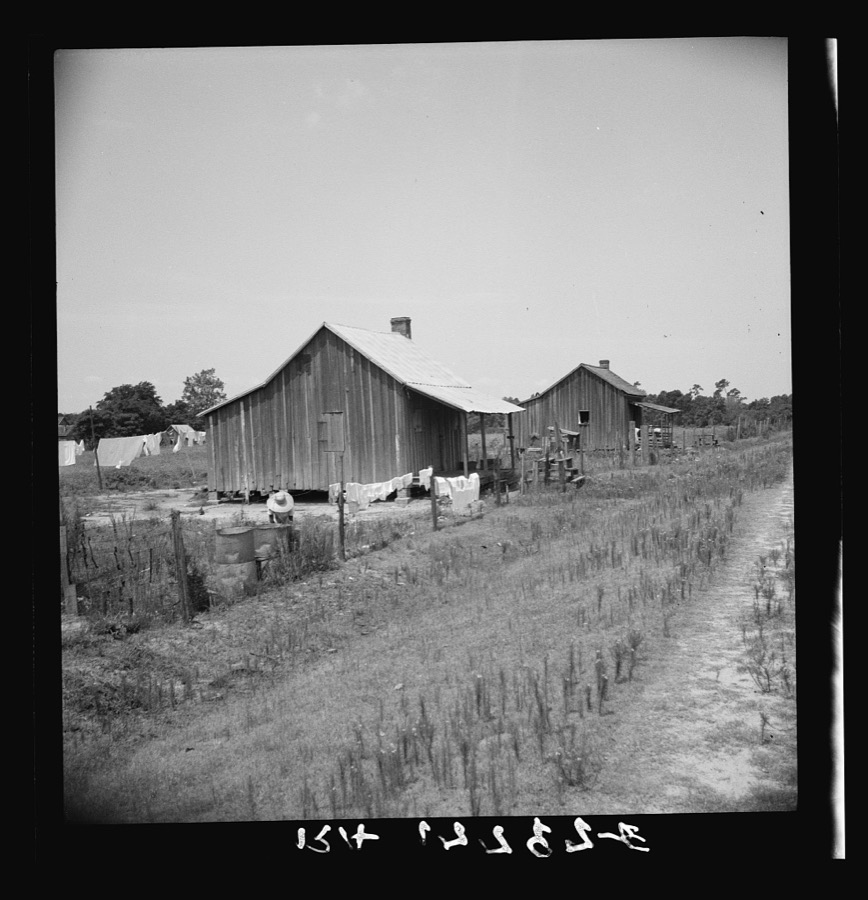
Every property in this county listed on the National Register of Historic Places, with the year it was listed and the federal nomination document.
| Photograph | Property | Type | Listed | Reference |
|---|---|---|---|---|
 | Dodge County Courthouse | building | 1980 | 80001012 |
 | Dodge County Jail | building | 2013 | 13000292 |
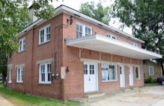 | Eastman Bus Station | building | 2002 | 02000566 |
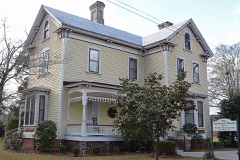 | William Pitt Eastman House | building | 1995 | 95000824 |
 | Peabody School | building | 2004 | 04001238 |
 | Williamson Mausoleum at Orphans Cemetery | object | 1997 | 97001331 |
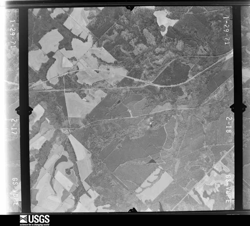
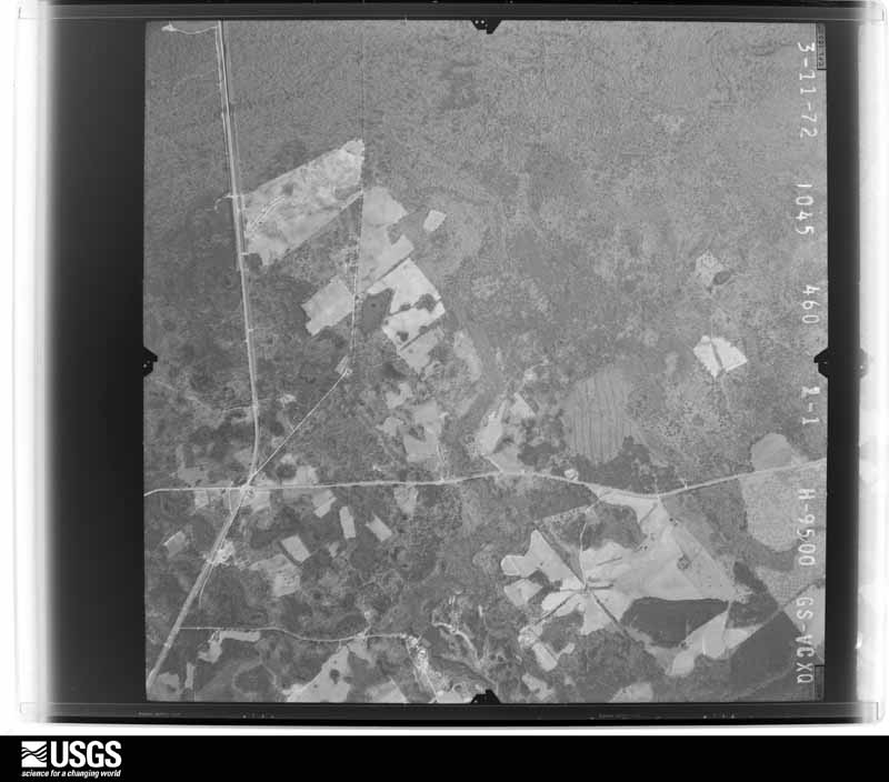
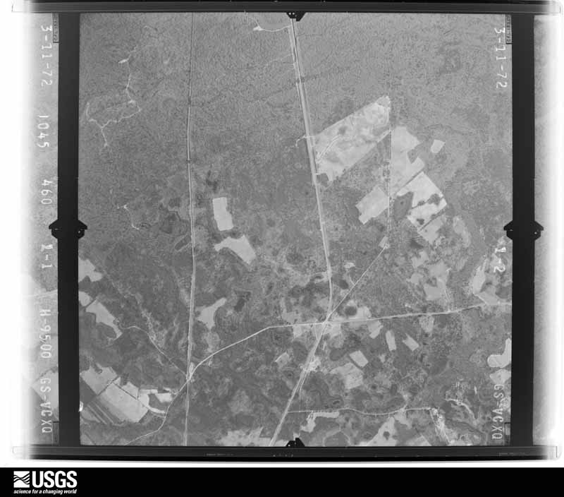
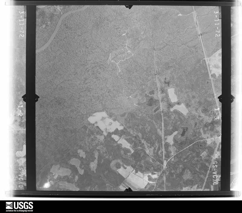
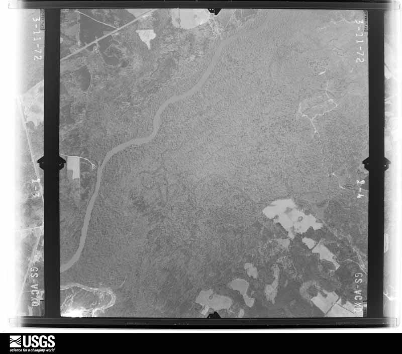
Flown by the U.S. Geological Survey between 1937 and 1989, the Aerial Photo Single Frames collection is the definitive mid-century view of the land: fields, roads and rivers as the camera saw them. The Survey holds 1,002 frames inside the rectangle that bounds this county; the 20 frames below were taken over the county itself, chosen across the decades of flights (at most four a year from that rectangle), so one flight cannot crowd out the rest. The full set is free to browse and download at EarthExplorer under the dataset Aerial Photo Single Frames.















The thermometers that kept this county's weather, as the federal records hold them. The extremes below are measured values from those records, not estimates.
Who lived here in 1950, one enumeration district at a time, as the Census Bureau described each district. Each row opens its official National Archives result, with Population Schedules and ED Maps available there.
Every wildfire the federal occurrence database records inside this county: 2,772 of them, burning about 10,052 acres. 114 started naturally and 413 were recorded as arson. Each settlement page carries the fires within five miles of it.
| Reported cause | Fires |
|---|---|
| Debris and open burning | 1702 |
| Arson/incendiarism | 413 |
| Equipment and vehicle use | 235 |
| Natural | 114 |
| Missing data/not specified/undetermined | 100 |
| Recreation and ceremony | 78 |
| Misuse of fire by a minor | 73 |
| Smoking | 43 |
| Railroad operations and maintenance | 14 |
The five largest, by the area the report gives. Two of them were set deliberately.
| Date | Cause | Size | Reported by | Name on the report |
|---|---|---|---|---|
| 5 March 1999 | Arson/incendiarism | 276 acres | Georgia Forestry Commission | not named |
| 2 March 1992 | Debris and open burning | 254 acres | Georgia Forestry Commission | not named |
| 13 March 2004 | Debris and open burning | 220 acres | Georgia Forestry Commission | not named |
| 10 February 2000 | Arson/incendiarism | 149 acres | Georgia Forestry Commission | FY2000-DODGE-064 |
| 12 July 2006 | Equipment and vehicle use | 123 acres | Georgia Forestry Commission | not named |
| 29 June 2006 | Natural | 104 acres | Georgia Forestry Commission | not named |
| 8 March 2007 | Debris and open burning | 103 acres | Georgia Forestry Commission | not named |
| 22 August 1999 | Natural | 98 acres | Georgia Forestry Commission | not named |
Every settlement page carries the fires within five miles of it - see the settlement index below.
The NOAA Storm Events Database holds 207 reports for this county, causing 2 deaths, 11 injuries and about $3,402,250 in recorded property damage. Each settlement page carries the reports that name it.
| Kind of event | Reports |
|---|---|
| Thunderstorm Wind | 139 |
| Hail | 35 |
| Tornado | 18 |
| Flash Flood | 9 |
| Lightning | 4 |
| Flood | 1 |
| Winter Storm | 1 |
The most serious of them, by death, then injury, then recorded damage. The accounts are quoted exactly as the forecast office filed them.
| When | Event | Place named | Harm | What the report says |
|---|---|---|---|---|
| November 1996 | Tornado (F2) | Chester | 1 killed, 6 hurt, $200,000 | no account filed |
| April 2011 | Tornado (EF2) | Dubois | 1 killed, 2 hurt, $150,000 | A damage survey conducted by the National Weather Service Forecast Office in Peachtree City, Georgia confirmed that an EF2 tornado tracked across northern Dodge county. The tornado touched down approximately 10 miles northwest of Eastman near Friendship UMC Road, just outside the Gresston community, and traveled east-northeast to near the intersection of Friendship UMC Road and U.S. Highway 23. The maximum path width was determined to be 50 yards wide with maximum winds of 130 mph. At the initial touch down location of the tornado, a double-wide mobile home was completely destroyed. A 45-year old male who resided in this mobile home, was killed. Two other residents of the home suffered injuries. Several trees nearby were also blown over or uprooted. Further east near the end of the tornado's path, another mobile home had its roof and front porch destroyed.||[04/04-04/05/11: Tornado #4, County #1-1, EF2, Dodge, 2011:006]. |
| April 2007 | Tornado (EF1) | Eastman | 2 hurt, $350,000 | A damage survey conducted by the National Weather Service in Peachtree City, Georgia confirmed that an EF1 tornado, with a maximum wind speed of 90 mph, had touched down about one mile west of downtown Eastman and traveled north-northeast to a point about four miles north-northeast of downtown Eastman. The total path length of the tornado was 4.5 miles with a maximum path width of 100 yards. A number of retail buildings on U.S. Highway 23 sustained minor damage. However, an adjacent greenhouse was destroyed. The announcers booth at the Eastman High School football field was destroyed. Two unsecured mobile homes along the path of the tornado were destroyed. A man and woman were injured when a home in the the Greenwood Heights Subdivision was destroyed. Both injuries were the result of fallen and flying debris. The home was destroyed by a large tree which crashed through the home. Numerous trees and power lines were downed along the path of the tornado, several of which fell on and caused damage to homes. |
| November 1958 | Tornado (F2) | not stated | 1 hurt, $250,000 | no account filed |
| April 2007 | Tornado (EF2) | Eastman | $500,000 | A damage survey conducted by the National Weather Service in Peachtree City, Georgia confirmed that yet another tornado touched down in Dodge county and traveled very near the city of Eastman once again. This tornado was from a different complex of thunderstorms than the one that caused the first tornado earlier. However, this was the same complex of thunderstorms that caused the tornado earlier in Crisp county. This time the tornado touched down one mile south of downtown Eastman, traveling northeast. The total path length was 4.5 miles with a maximum path width of 200 yards. The maximum wind speed within the tornado was estimated to be 120 mph. The Dodge County Road Department's garage was destroyed. Two mobile homes in the area were destroyed. A nearby home suffered significant damage when parts of its roof, an exterior wall, and patio were removed. An adjacent barn was also destroyed. Several other homes in the area sustained minor damage. |
| March 2005 | Flash Flood | Countywide | $250,000 | The Dodge County 911 Center and the Dodge County News of Eastman reported extensive flooding and flash flooding throughout the county. Numerous roads were flooded throughout the county and several had been closed. Several small dams were also breached. In addition, one home was destroyed by the flash flooding that occurred. Rainfall amounts of four to six inches, with isolated amounts of seven to eight inches were observed. |
| March 1980 | Tornado (F1) | not stated | $250,000 | no account filed |
| April 2017 | Tornado (EF1) | Dubois | $200,000 | A National Weather Service survey team found that an EF1 tornado with maximum wind speeds of 105 MPH and a maximum path width of 350 yards touched down West of Hardy Road, damaging a few homes and storage buildings as it crossed Hardy Road. The damage was mostly minor roof damage. Several trees were snapped and uprooted in the area as well. The tornado moved northeast crossing Garrett Oxley road where it |destroyed a travel trailer and a small barn and lofting a metal parking cover that was never found. The van that was parked under the cover was turned sideways and left a scar in the ground about 7 feet in length from the tires dragging in the dirt. The tornado entered the northwest side of Gresston on Gresston Baptist Road where |numerous large pines were snapped and some roof damage was noted to the Baptist Church. Further northeast along Rozar-Goolsby Road, numerous trees were snapped or uprooted and several homes sustained roof damage. Another church along this street also sustained roof damage. The tornado continued northeast along Wilson Woodward Road snapping and uprooting trees before ending shortly after crossing Bell Line Road. No injuries were reported. [04/05/17: Tornado #6, County #1/1, EF-1, Dodge, 2017:065]. |
| May 2003 | Thunderstorm Wind | Countywide | $175,000 | The Dodge county 911 center reported that a number of trees had been blown down around the county. Several of these fell on homes, causing minor to moderate structural damage, both in the county and in the city of Eastman. Several stores in Eastman were damaged by high winds and some county residents lost out buildings or storage shelters during the high winds. In addition, two vehicles were damaged when trees fell on them while others ran into the downed trees during the poor visibility and inclement weather conditions. |
| July 2008 | Thunderstorm Wind | Chauncey | $100,000 | The Dodge County Emergency Management Director reported that thunderstorm downburst winds resulted in significant damage to property, trees, and power lines across the southern part of the county, including the cities of Chauncey, Milan, and Rhine. Much of the damage was concentrated near Georgia Highway 165. On McCraine Lane in Chauncey, the roof of a house was damaged, a barn was damaged, and a storage shelter was destroyed. Several trees and power lines were also down at this residence. On Georgia Highway 165 between Chauncey and Rhine, the Faith Ministries building sustained damage to the back wall and roof. Also on Georgia Highway 165 between Chauncey and Rhine, a grain bin was destroyed. Finally, along Oak Grove Church Road and Friendship Road, also between Chauncey and Rhine, several barns sustained damage along with minor damage to homes and power service lines. |
| January 2013 | Thunderstorm Wind | Gresston | $75,000 | The Dodge County Emergency Manager reported that four houses sustained major roof damage and several barns were blown over. |
| June 2006 | Lightning | Eastman | $75,000 | The Dodge County News of Eastman reported that lightning struck a home on Glen Hickman Road causing significant damage to the home. The top floor was destroyed by fire and the bottom floor suffered heat and water damage. |
| May 2014 | Tornado (EF0) | Eastman | $50,000 | A National Weather Service survey team determined that an EF0 anticyclonic tornado touched down near the Dodge County Hospital off Plaza Avenue, initially uprooting trees and peeling back the roof of a nursing home. The tornado continue on a northward track, causing minor roof, siding, and gutter damage to several community homes and downing large tree branches just east of Georgia Highway 117. A front porch of a home off Harrell Avenue collapsed as a result of the winds. Several trees were downed or uprooted, and a brick building and CVS store near the intersection of Highway 117 and Highway 23/Oak Street sustained roof loss. The tornado continued northward causing roof and gutter damage to numerous residential and commercial buildings in Eastman, east of Oak Street and 5th Avenue/Georgia Highway 46. Additional tree damage was observed north of Eastman-Dublin Highway near 7th Avenue. After downing trees near a home at the intersection of Shady Acres and Old Eastman-Dublin Road, the tornado lift. Maximum winds were estimated at 80 MPH.|[05/14/14: Tornado #1, County #1-1, EF0, Dodge, 2014:006]. |
| April 2011 | Thunderstorm Wind | Gresston | $50,000 | The Dodge County 911 Center reported widespread damage to trees and power lines across the county. Structural damage was reported to some homes near Chauncey in southeast Dodge county when trees fell on the structures. This damage was in addition to the EF2 tornado that struck just outside the small community of Gresston, northwest of Eastman. |
| October 1995 | Tornado (F0) | Rhine | $50,000 | A severe thunderstorm with an imbedded weak tornado which briefly touched down damaged three homes. One home was a mobiel home which was damaged when a tree fell on it, one was a permanent structure which sustained major damage when the porch and main support for the roof was ripped off, and one was a temporary structure which had it's tin roof pulled off. |
| May 1995 | Thunderstorm Wind | Eastman | $45,000 | Thunderstorm winds knocked over a silo on Tripp Farms. Trees were knocked down county-wide. |
| February 2008 | Thunderstorm Wind | Eastman | $35,000 | The Dodge County Emergency Management Director reported that a couple of large pecan trees were blown down just south of Eastman. One tree landed on a truck and another on a mobile home causing considerable damage to the property. An amateur radio operator reported that a couple of trees were down off Rock Springs Road south of U.S. Highway 341. |
| September 2021 | Flash Flood | Eastman | $30,000 | The Emergency Manager relayed multiple reports of flash flooding including road closures and washed out roads in and around the city of Eastman. Some of these reports include Wilson Woodward Road (washed out), from 7th to 9th, MLK Blvd to Cooper Drive, Abbeville Highway, Level Church and near the intersection of Airport Road and Ready Branch Road. Radar estimates indicate that between 4 and 5 inches of rain, with localized areas of up to 8 inches, had fallen over the area in a short period of time, resulting in the flash flooding. |
| March 2020 | Flash Flood | Rhine | $30,000 | The Emergency Manager reported that a portion of Oak Grove Church Road was completely washed out after corrugated culvert piping under the road became overwhelmed by runoff. Radar estimates indicate that 5 to 6 inches occurred over the area, falling on already saturated soils, resulting in flash flooding in the county. |
| May 2014 | Thunderstorm Wind | Lowery | $30,000 | Broadcast media and the public reported wind damage east of Eastman. A block wall was blown over and the roof of a house and a few mobile homes sustained minor damage. Several pine trees were blown over. Soperton Highway was blocked by fallen trees and powerlines. |
| February 2008 | Thunderstorm Wind | Roddy | $30,000 | The Dodge County 911 Center reported that several trees were down across the county. Trees were down on Cemetery Road and West Chicken Road near Eastman. A home was damaged from fallen trees on Joiner Creek Road in Eastman. |
| April 2008 | Thunderstorm Wind | Roddy | $30,000 | The Dodge County Emergency Management Director reported that thunderstorm winds below down several trees and damaged several buildings in the Roddy and Chester areas. In Roddy, several structures sustained roof damage. Windows were blown out of one mobile home. In Chester, approximately two blocks north of the intersection of Georgia Highway 126 and 257, a large oak tree was blown down causing minor damage to a home. Nearby on Peachtree Street, two pine trees were blown down causing minor damage to the roof of a home. Another structure was also damaged by wind in Chester. |
| December 2007 | Tornado (EF0) | Jay Bird Spgs | $25,000 | A storm survey conducted by the National Weather Service Forecast Office in Peachtree City, GA confirmed that an EF0 tornado touched down in the southeastern panhandle of Dodge county, or about six miles north of Helena, which is located further south in Telfair county. The tornado traveled on the ground approximately 1/2 mile, all within the far southeast panhandle of Dodge county. The maximum path width was estimated to be 25 yards. The tornado damaged a single mobile home just east of the intersection of Long Bridge Road and New Bethel Church Road. This damage consisted mainly of siding damage. Dozens of trees and power lines were down in the area, especially along Long Bridge Road, which was blocked and closed. |
| June 1998 | Thunderstorm Wind | Eastman | $25,000 | A newspaper reported thunderstorm winds took part of the roof off of a bank and tore a hangar door from an aircraft shop at Georgia Technical Institute. |
| April 1955 | Tornado (F1) | not stated | $25,000 | no account filed |
| March 2024 | Thunderstorm Wind | Ararat | $20,000 | Multiple trees and powerlines down, unsecured shed collapsed, mobile home on wheeled trailer flipped and destroyed. |
| April 2019 | Thunderstorm Wind | Dubois | $17,000 | The Dodge County Emergency Manager reported trees and power lines along Friendship UMC Road from around Antioch Church Road to past Hardy Road. A roof was damaged by the wind along this stretch of road as well. |
| October 2015 | Flash Flood | Eastman | $15,000 | The Dodge County emergency manager reported intense rainfall in Eastman caused rapid runoff that entered portions of the Eastman Gardens Apartment Complex. At least six apartments were flooded with several inches of water. |
| February 2018 | Thunderstorm Wind | Rowland | $12,000 | A trained spotter reported multiple trees and power lines blown down in the 1500 block of the Chester-Cochran Highway. |
| March 2009 | Lightning | Plainfield | $10,000 | An amateur radio operator reported that lightning struck a home in Planfield. The lightning entered the home through the satellite dish mounted the roof. Heavy rain extinguished the resulting fire. Damage was minor. |
| July 2009 | Thunderstorm Wind | Eastman | $10,000 | The Dodge County Emergency Management Director and WMAZ Television of Macon reported that several trees and power lines were blown down around Eastman. The roof was also blown off a barn under construction near Eastman. |
| May 2008 | Hail | Rhine | $10,000 | An amateur radio operator reported golf ball-sized hail in Rhine and the public observed penny-sized hail south and east of Rhine along the Telfair county line. |
| May 2007 | Hail | Chauncey | $10,000 | The Eastman Police Department reported golf ball-sized hail in the Chauncey area. |
| December 2005 | Thunderstorm Wind | Gresston | $10,000 | A SkyWarn spotter reported that thunderstorm winds blew a tree down onto a house. |
| June 2002 | Thunderstorm Wind | Chester | $10,000 | The Dodge county 911 center reported that numerous trees and power lines were down in several areas throughout the county including Chester, Plainfield, Eastman, and south of Eastman on Georgia Highways 87 and 117. |
| April 1999 | Thunderstorm Wind | Eastman | $10,000 | The public reported a barn blown down by thunderstorm winds. |
| July 1999 | Lightning | Eastman | $10,000 | Lightning struck the chimney on a new home on Friendship Church Road. Falling brick caused damage to the roof and deck. There was also water damage inside the house. |
| June 2016 | Thunderstorm Wind | Chester | $9,000 | The Dodge County 911 center reported trees and power lines blown down across the northern half of the county. locations include on Alabama Avenue and at the intersection of Wynne Street and Main Street in Chester, and around 5th Avenue at Oak Street and 9th Avenue at Eastman Street in Eastman. |
| January 2017 | Thunderstorm Wind | Rhine | $8,000 | An amateur radio operator reported trees blown down and power out from Reeves Street to Second Street in Rhine. |
| May 2014 | Thunderstorm Wind | Dempsey | $7,000 | The public reported that a metal hay barn was destroyed along Bell Line Road. |
| August 2019 | Thunderstorm Wind | Sigurd | $6,000 | The Dodge County 911 center reported several trees blown down along New Bethel Church Road. |
| June 2019 | Thunderstorm Wind | Rhine | $6,000 | The Dodge County Emergency Manager reported a few trees blown down from Rhine to Jay Bird Springs. |
| June 2024 | Thunderstorm Wind | Bryant | $5,000 | A manufactured home had a roof blown off by strong winds. Two trees then fell on the structure. |
| June 2024 | Thunderstorm Wind | Ararat | $5,000 | Multiple trees down on property at residence on 600 block of Marion Sheffield Rd. |
| July 2023 | Thunderstorm Wind | Rhine | $5,000 | Several trees down along with roof damage on hwy 115 between Rhine and Telfair county line. |
| April 2019 | Thunderstorm Wind | Rhine | $5,000 | The Dodge County 911 center reported a few trees blown down from around the intersection of 2nd Street and Sycamore Street in Rhine to around the intersection of Milan-Chauncey Road and Marion Sheffield Road north of Milan. |
| September 2017 | Thunderstorm Wind | Dubois | $5,000 | The Dodge County 911 center reported trees blown down from Hardy Road near Dubois Church Road to Gresston Baptist Road near Hardy Road. |
| June 2010 | Thunderstorm Wind | Eastman | $5,000 | The Dodge County Emergency Management Director reported that more than 10 trees were blown down across the county. Six roads were temporarily blocked from downed trees. Some of the blocked roads included Middleground Church Road, Eastman-Cochran Road, Antioch Church Road, Chester Road, and Mitchell Road. |
| June 2008 | Thunderstorm Wind | Rhine | $5,000 | The Dodge County Emergency Management Director reported that 20 trees and several power lines were down in the Rhine area. At least 300 residents in the area were without power. |
| May 2005 | Thunderstorm Wind | Countywide | $5,000 | The Dodge County News of Eastman reported that a number of trees were blown down across the county by strong thunderstorm winds gusts. One tree fell across Eastman Street in Eastman. Many people in the county lost power during the event. |
| December 2005 | Hail | Gresston | $5,000 | Two reports of golf ball-sized hail across the northern portion of the county along U.S. Highway 23. |
| August 2000 | Thunderstorm Wind | Rhine | $5,000 | The Dodge county 911 center reported numerous trees down in Rhine. |
| March 1998 | Lightning | Eastman | $5,000 | A church was damaged when lightning struck a tree which fell onto it. The church was located on Rocky Spring Road in Dodge county. The time was estimated. |
| October 1993 | Thunderstorm Wind | Eastman | $5,000 | Thunderstorm winds downed several power lines along Mt. Avery road. |
| July 1996 | Thunderstorm Wind | Rhine | $5,000 | no account filed |
| August 2024 | Thunderstorm Wind | Roddy | $4,000 | Two to four trees down along wilson woodard road and roddy hwy. |
| September 2019 | Thunderstorm Wind | Dempsey | $4,000 | Dodge County Emergency Management reported trees blown down along Orphans Cemetery Road and Highway 280 near Sand Grove Baptist Church. |
| June 2018 | Thunderstorm Wind | Eastman | $4,000 | The Dodge County 911 center reported power lines blown down around the intersection of Highway 117 and Pine Crest Drive. |
| June 2024 | Thunderstorm Wind | Bryant | $3,000 | Tree down on home at intersection of Middle Ground Church Rd and ga hwy 126. |
| June 2024 | Thunderstorm Wind | Chauncey | $3,000 | Multiple photos of tree damage to the 100 block of Railroad Ave. in Chauncey GA. a large uprooted tree fell on a 2 car detached garage at 101 North Railroad Ave. |
The Survey's mineral resources record lists 1 working inside this county. It is closed or unrecorded. Each settlement page carries the workings within five miles of it.
| Commodity | Workings |
|---|---|
| Sand and Gravel, Construction | 1 |
The least common of them first, because a county's hundredth gravel pit says nothing its first ten did not.
| Where | Site | Commodity | Status | Recorded |
|---|---|---|---|---|
| Unnamed Sand Deposit | Sand and Gravel, Construction | Occurrence | Alluvium |
Named settlements recorded in the Geographic Names Information System, each with the topographic sheets covering it. Villages, hamlets and abandoned places alike. Each is shown with the nearest named watercourse or landform and the survey quadrangle it falls on. The 1 place that was also surveyed for fire insurance comes first, with the number of atlases and photographs held for them.
Eastman census division · 31023 · Eastman quadrangle
9 sheets, 1957 to 1988
Fire insurance: 9 atlases
Eastman census division · 31023 · Eastman quadrangle
9 sheets, 1957 to 1988
No longer a settlement
Eastman census division · 31023 · Cadwell quadrangle
8 sheets, 1957 to 1988
No longer a settlement
Chester census division · 31014 · Empire quadrangle
10 sheets, 1956 to 1988
No longer a settlement
Chauncey census division · 31037 · Milan quadrangle
8 sheets, 1957 to 1988
No longer a settlement
Chauncey census division · 31011 · On Rock Branch · Jay Bird Springs quadrangle
8 sheets, 1957 to 1988
Eastman census division · 31023 · On Sheffield Branch · Eastman quadrangle
9 sheets, 1957 to 1988
Chauncey census division · 31011 · On Rock Branch · Jay Bird Springs quadrangle
8 sheets, 1957 to 1988
Chauncey census division · 31011 · McRae NW quadrangle
9 sheets, 1957 to 1988
No longer a settlement
Rhine census division · 31023 · On Cypress River · Abbeville North quadrangle
8 sheets, 1957 to 1988
Chester census division · 31014 · On District Hollow Branch · Yonkers quadrangle
8 sheets, 1957 to 1988
The vanished settlements of Dodge County: the places named above that are no longer on the map.
9 topographic sheets and 9 fire insurance atlases, 1885 to 1944