 Block
From the record
5 National Register listings published here.
Sources: the National Register database, National Park Service
57 topographic sheets cover 15 settlements here, and 5 properties are on the National Register of Historic Places.
5 National Register listings published here.
Sources: the National Register database, National Park Service
Taken for the Office of War Information and the Farm Security Administration, who photographed the country between 1935 and 1944. Works of United States government photographers, with no known restriction on use. Each opens its catalogue record.

Every property in this county listed on the National Register of Historic Places, with the year it was listed and the federal nomination document.
| Photograph | Property | Type | Listed | Reference |
|---|---|---|---|---|
 | Cumming Bandstand | structure | 2002 | 02000658 |
| Cumming Cemetery | site | 2005 | 05000428 | |
 | Cumming Public School-Cumming High School | building | 2000 | 00000107 |
| Fowler Family Farm | district | 2003 | 03000200 | |
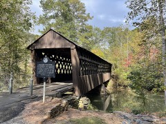 | Pool's Mill Covered Bridge | structure | 1975 | 75000593 |
Forsyth County has 1 covered bridge on the National Register. Each is a listed structure with a federal nomination on file.
| Pool's Mill Covered Bridge | Listed 1975 |
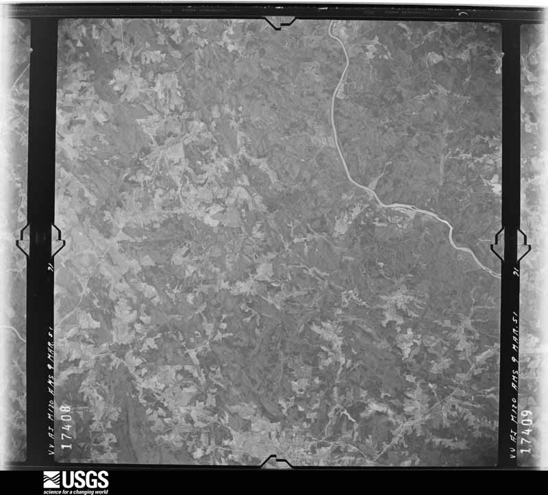
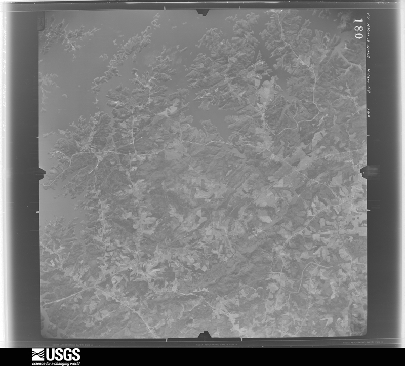
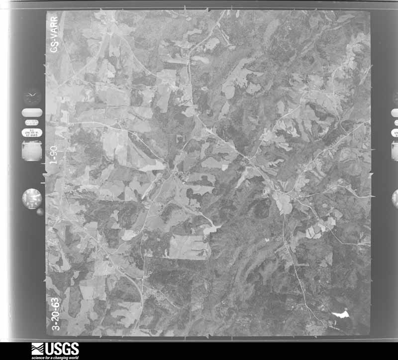
Flown by the U.S. Geological Survey between 1937 and 1989, the Aerial Photo Single Frames collection is the definitive mid-century view of the land: fields, roads and rivers as the camera saw them. The Survey holds 885 frames inside the rectangle that bounds this county; the 45 frames below were taken over the county itself, chosen across the decades of flights (at most four a year from that rectangle), so one flight cannot crowd out the rest. The full set is free to browse and download at EarthExplorer under the dataset Aerial Photo Single Frames.












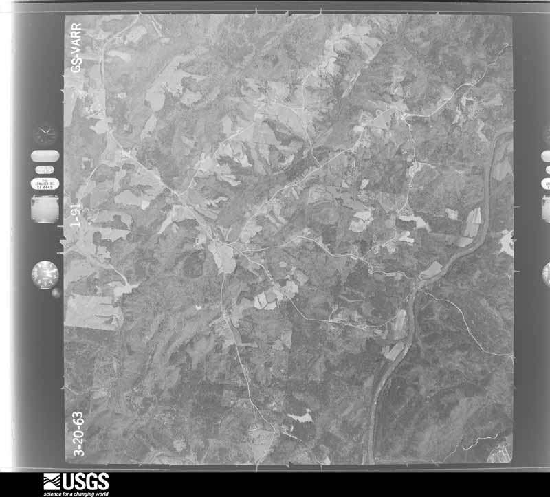

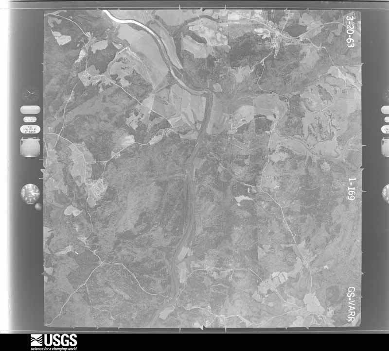
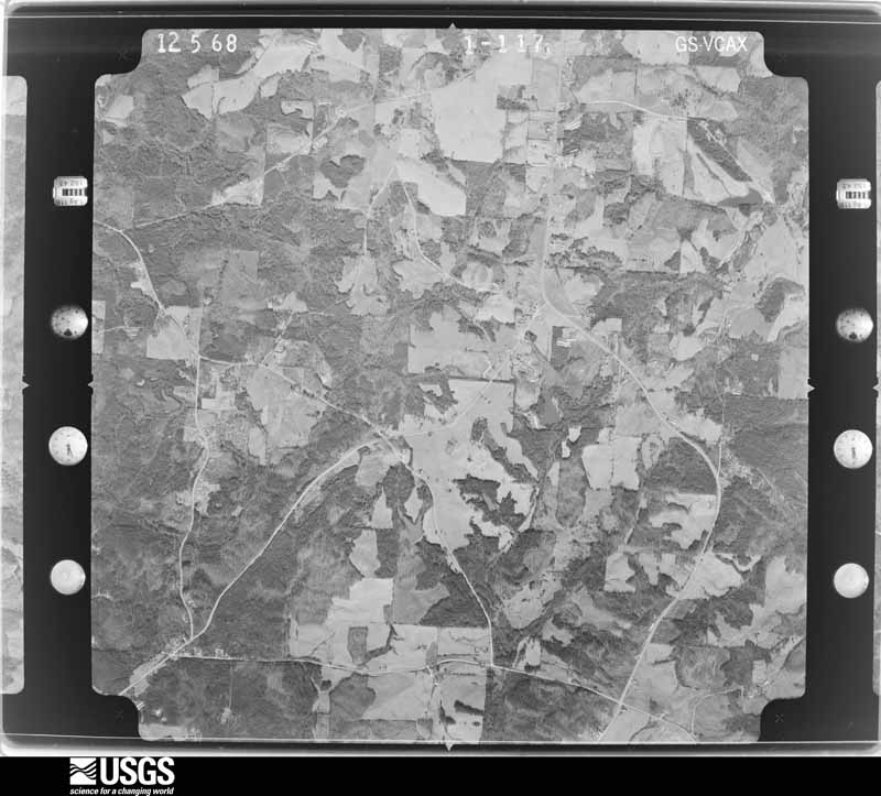
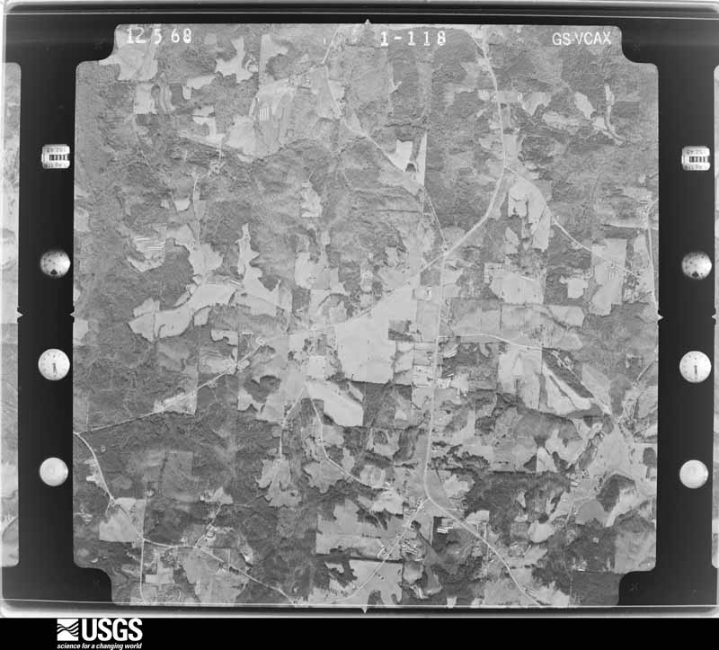
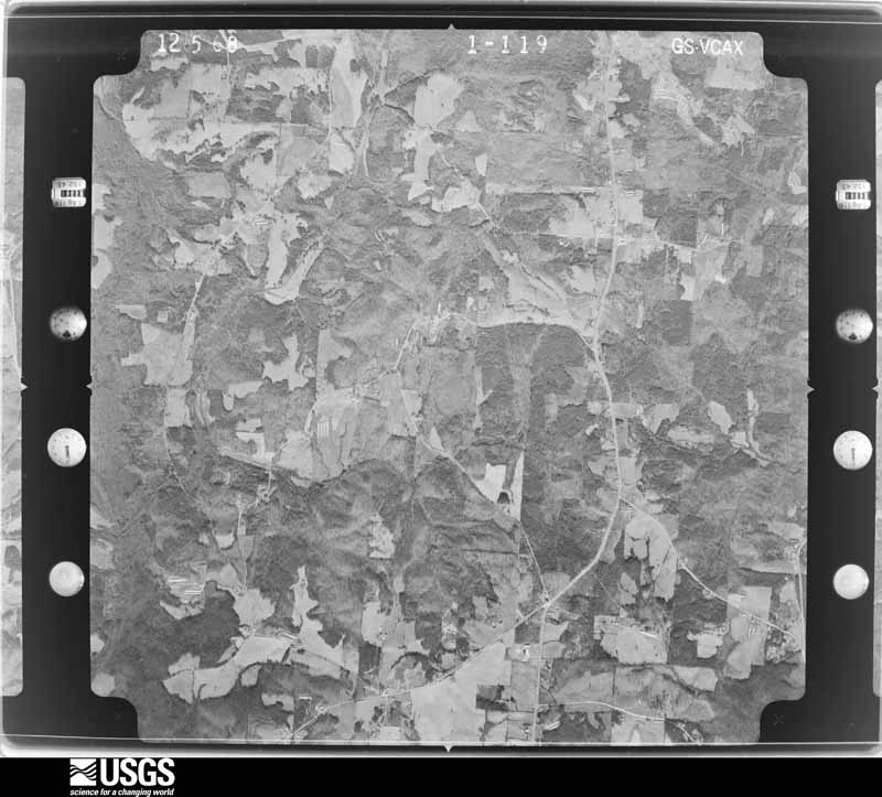
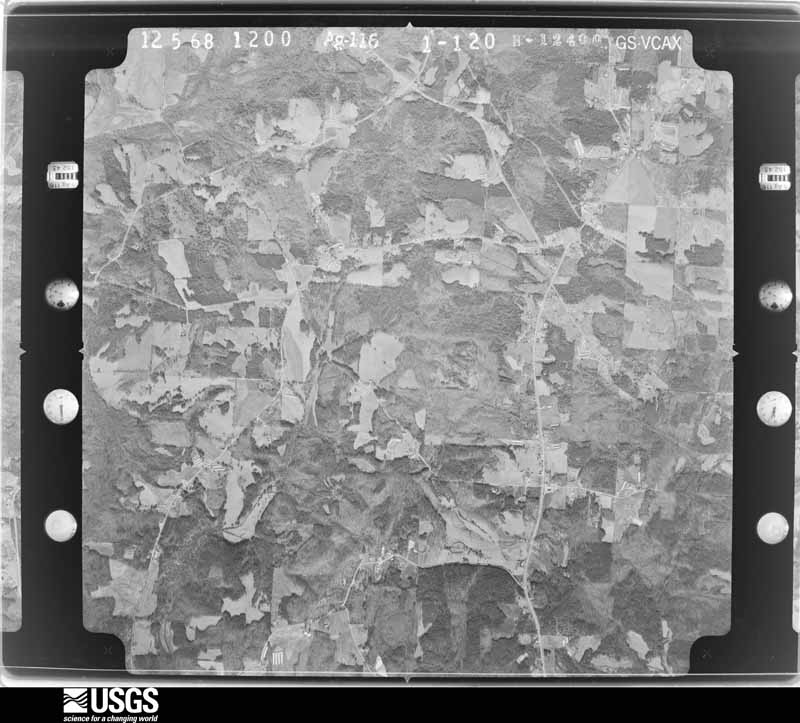







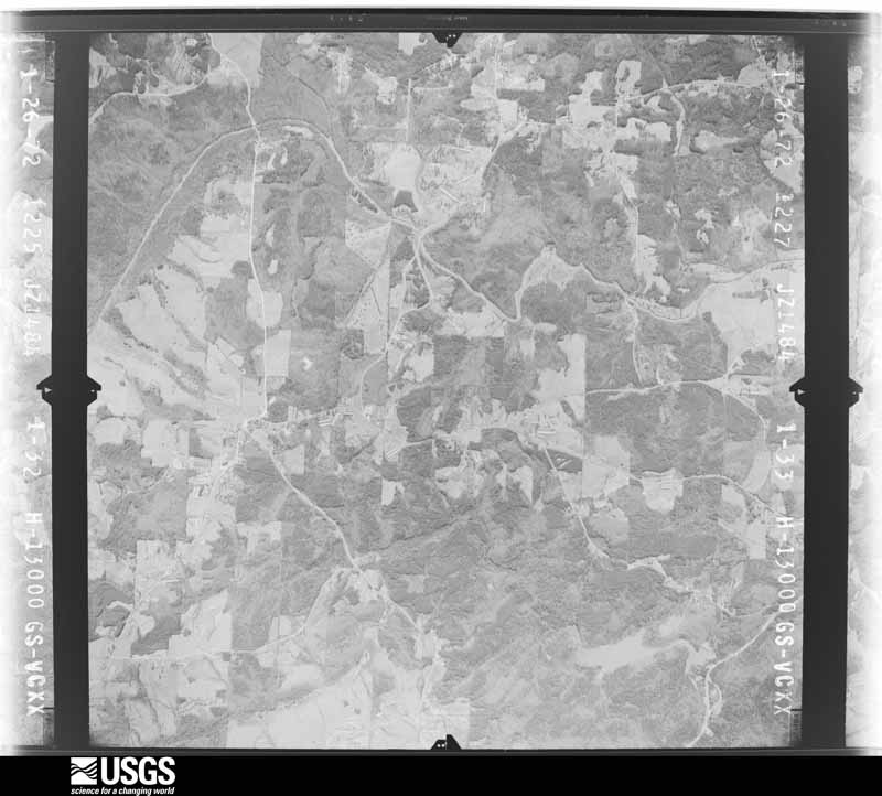







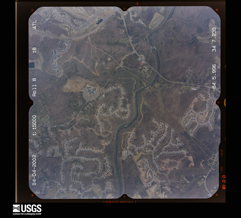
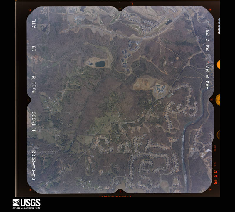
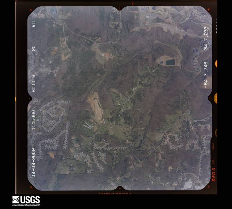
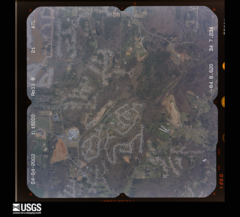
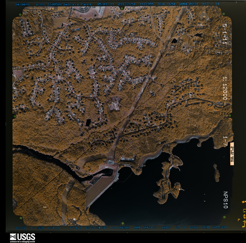
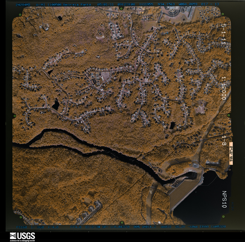
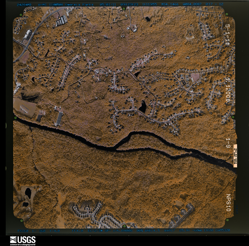
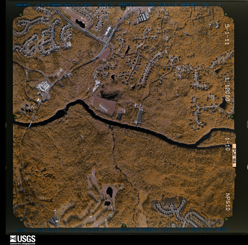
The thermometers that kept this county's weather, and the gages that measured the flow of its streams, as the federal records hold them. The extremes below are measured values from those records, not estimates.
Who lived here in 1950, one enumeration district at a time, as the Census Bureau described each district. Each row opens its official National Archives result, with Population Schedules and ED Maps available there.
Every wildfire the federal occurrence database records inside this county: 589 of them, burning about 841 acres. 18 started naturally and 116 were recorded as arson. Each settlement page carries the fires within five miles of it.
| Reported cause | Fires |
|---|---|
| Debris and open burning | 290 |
| Arson/incendiarism | 116 |
| Misuse of fire by a minor | 51 |
| Smoking | 35 |
| Equipment and vehicle use | 30 |
| Missing data/not specified/undetermined | 29 |
| Recreation and ceremony | 20 |
| Natural | 18 |
The five largest, by the area the report gives. Two of them were set deliberately.
| Date | Cause | Size | Reported by | Name on the report |
|---|---|---|---|---|
| 11 April 1999 | Debris and open burning | 32 acres | Georgia Forestry Commission | not named |
| 29 April 2001 | Debris and open burning | 28 acres | Georgia Forestry Commission | FY2001-FORSYTH-007 |
| 9 April 1996 | Arson/incendiarism | 22 acres | Georgia Forestry Commission | not named |
| 1 November 2001 | Missing data/not specified/undetermined | 22 acres | Georgia Forestry Commission | FY2002-FORSYTH-002 |
| 4 March 1994 | Debris and open burning | 21 acres | Georgia Forestry Commission | not named |
| 13 August 1999 | Arson/incendiarism | 18 acres | Georgia Forestry Commission | not named |
| 4 March 1996 | Debris and open burning | 16 acres | Georgia Forestry Commission | not named |
| 21 March 2007 | Recreation and ceremony | 16 acres | Georgia Forestry Commission | not named |
Every settlement page carries the fires within five miles of it - see the settlement index below.
The NOAA Storm Events Database holds 342 reports for this county, causing 3 deaths, 16 injuries and about $38,589,070 in recorded property damage. Each settlement page carries the reports that name it.
| Kind of event | Reports |
|---|---|
| Thunderstorm Wind | 153 |
| Hail | 109 |
| Lightning | 36 |
| Flash Flood | 22 |
| Tornado | 10 |
| Flood | 7 |
| Funnel Cloud | 4 |
| Heavy Rain | 1 |
The most serious of them, by death, then injury, then recorded damage. The accounts are quoted exactly as the forecast office filed them.
| When | Event | Place named | Harm | What the report says |
|---|---|---|---|---|
| November 2011 | Thunderstorm Wind | Drew | 1 killed, $20,000 | The Forsyth County Emergency Management Director reported that a tree fell on a sport utility vehicle (SUV) killing a 51-year old male inside the vehicle. The incident took place on Brookwood Drive near McGinnis Ferry Road in the Johns Creek portion of far southern Forsyth county. The person inside the vehicle was killed instantly. One other tree was down in the northern part of the county as well. |
| June 2007 | Lightning | Cumming | 1 killed | WSB Television of Atlanta reported that a 27-year old male construction worker was killed when struck by lightning. The individual was working on a house under construction. He and other workers sought shelter in the structure during the thunderstorm. |
| April 1989 | Thunderstorm Wind | not stated | 1 killed | no account filed |
| July 1959 | Tornado (F0) | not stated | 6 hurt, $25,000 | no account filed |
| June 2010 | Lightning | Mars Hill Crossroads | 3 hurt | The Forsyth County News reported that three male teenagers were struck and injured by lightning just off Jot-Em-Down Road northeast of Cumming. The teenagers had just finished riding motorcycles off-road when the incident occurred. One of the teenagers, a 14-year old, was hospitalized as a result of the injuries sustained. |
| July 2005 | Lightning | Cumming | 2 hurt, $50,000 | The Forsyth Herald reported that lightning struck a fishing boat on Lake Lainer. Two men in the boat were injured during the incident. In Cumming, a home on Pitman Circle was set on fire when lightning struck a nearby tree. The home suffered moderate damage as a result. |
| July 2003 | Thunderstorm Wind | Countywide | 2 hurt, $50,000 | The Forsyth county 911 center reported that a number of trees had been blown down across the county. The Forsyth County news reported that one large tree fell on a home in Barrett Downs, causing considerable damage to the home and two people received minor injuries when trees fell on them. The Atlanta Journal-Constitution also reported that part of the roof was blown off a Wendy's Restaurant on McFarland Drive. |
| March 1975 | Tornado (F1) | not stated | 1 hurt, $250,000 | no account filed |
| July 2003 | Lightning | Cumming | 1 hurt | The Forsyth County News reported that a 13-year old girl was injured when lightning struck a tree next to where she was standing. The girl complained of blurred vision and breathing difficulty following the incident. |
| May 2001 | Lightning | Cumming | 1 hurt | The Forsyth County News reported that lightning struck a 31-year old man. The man was struck outside his home on Bordeaux Boulevard. His socks were burned and his shoes were melted. |
| May 2020 | Hail | Drew | $5,000,000 | The public reported hail the size of quarters to half dollars near the Polo Golf and Country Club and hail the size of golf balls 1 mile north of Cumming. |
| April 2013 | Hail | Heardville | $4,760,000 | Broadcast media and the public reported golf ball sized hail northwest of Cumming. |
| March 2012 | Hail | Cumming | $4,760,000 | The public called to report golf ball size hail fell for over ten minutes between 12:27 AM EDT to 12:39 AM EDT. |
| March 2008 | Hail | Coal Mtn | $3,000,000 | Several reports of large hail were received from north central and northeast Forsyth county. The public reported two inch-diameter hail two miles south of Chestatee and penny to quarter-sized hail northeast of Cumming near the intersection of Georgia Highway 400 and Georgia Highway 20, and on Georgia Highway 369. Nickel-sized hail was observed just west of Lake Lanier near the intersection of Georgia Highways 53 and 300. Finally, Forsyth County Fire and Rescue Services observed quarter-sized hail near Cumming. |
| June 2007 | Hail | Cumming | $2,700,000 | Several reports of large hail were received from the public across the central and southern portions of Forsyth county from Cumming southwest to near the Fulton county line, including Brookwood and Big Creek. Golf ball-sized hail was reported in the Brookwood and Big Creek areas, with penny to nickel-sized hail around Cumming. |
| March 2008 | Hail | Drew | $2,500,000 | The public reported quarter to golf ball-sized hail across central Forsyth county, particularly in the Cumming area. One report of 2.00 inch diameter hail was received from the public within the city of Cumming. |
| April 2009 | Hail | Cumming | $2,000,000 | Amateur radio operators relayed a report of golf ball-sized hail in the extreme southeast part of the county near the Gwinnett and Hall county line. |
| February 2008 | Thunderstorm Wind | Drew | $2,000,000 | The Forsyth County Emergency Management Director reported that numerous trees and power lines were down across the southern half of the county. Significant damage to homes was reported in the southern part of the county from near the Fulton county line northeast of Alpharetta to Cumming. Fifteen homes were damaged in this portion of the county, mostly from trees which fell on the structures. Much of the damage was concentrated in the area along Atlanta Highway, Georgia Highway 9 in the southern portion of the county and along Georgia Highway 400 near McFarland Road. The winds blew in the door of a fire station near McFarland Road. A total of 30 homes within the county sustained some damage. |
| May 2006 | Hail | Coal Mtn | $1,800,000 | The public reported penny-sized hail around and on the north and west side of Cumming and golf ball-sized hail on the south side of Cumming. |
| February 2005 | Hail | Cumming | $930,000 | The public reported hail ranging in size from pennies to golf balls. |
| August 2005 | Lightning | Countywide | $750,000 | The Forsyth County Emergency Management Director as well as the Forsyth County News of Cumming reported that strong thunderstorms caused numerous lightning-related incidents across the county during the late afternoon. During an approximate one-hour period, at least 10 homes were struck by lightning in the county. Three of these homes sustained major damage or were destroyed, while seven others sustained minor damage. The majority of the incidents occurred across the eastern portion of the county, east of Georgia Highway 400. |
| September 2000 | Lightning | Cumming | $500,000 | The Forsyth County News reported that lightning struck and set on fire HLB Custom Cabinets at 2680 Friendship Road in Cumming. The building was completely destroyed. |
| August 2012 | Lightning | Cumming | $400,000 | The Forsyth County Emergency Manager reported four lightning fires in and around Cumming. Two houses, one on Loblolly Lane and another on Hawk Creek Road, were completely destroyed, while two others, one on Crossland Drive and a condo on Tribble Gap Road, sustained only minor damage. No injuries were reported. |
| April 2007 | Hail | Matt | $355,000 | Numerous reports of hail, ranging in size from nickels to golf balls, were received from the Forsyth County Emergency Management Director and the public across northern Forsyth county from west of Matt, along Matt Highway near the Cherokee county line, to Silver City on the Dawson county line, and eastward to northeast of Chestatee in the extreme northeast corner of the county. Large hail was reported in Matt, Coal Mountain and Silver City. The Emergency Manager reported golf ball-sized hail near the Cherokee county line, west of Matt on Georgia Highway. Several automobiles in the area sustained broken windshields. Golf ball-sized hail was also reported from five miles south to three miles east of Silver City in extreme northern Forsyth county. There were other reports from the public of quarter-sized hail from Matt to just south of Silver City. The public also observed nickel-sized hail further south, just north of Cumming. Near Silver City, the public reported that hail, the size of ping pong balls or larger, fell for up to 10 minutes and the ground was covered in some locations. |
| July 2008 | Lightning | Coal Mtn | $350,000 | The Forsyth County News of Cumming reported that lightning struck an outbuilding on Karr Road approximately two miles west of Coal Mountain and set the structure on fire. The building housed seven classic restored cars, all of which were destroyed. In addition, a camper and 1973 Chevy truck adjacent to the building were also destroyed by the fire. |
| September 2009 | Flood | Hightower | $330,000 | Forsyth county emergency management personnel and USGS stream gages confirmed that major flooding continued across much of the county, especially the southern sections. Many homes, apartments, businesses, and roads sustained damages from flooding. Several culverts and/or bridges were washed out and several roads were closed. Flood waters began to recede after 830 am EDT on the 22nd, but many locations, especially in the southern part of the county, remained in moderate to major flood until 715 am EDT on the 23rd. Monetary damage from flooding continued to mount, with an additional $330,000 during this time frame. |
| June 2007 | Lightning | Cumming | $300,000 | The Forsyth County 911 Center reported that two homes and a tree were struck and set on fire by lightning. The homes were located on Aaron Phosby Road, Astoria Avenue, and Concord Village Lane. Damage was minor to moderate. |
| July 1999 | Lightning | Cumming | $300,000 | Lightning set a fire which destroyed a two-story home in Hampton Forest subdivision. Four firemen were injured while fighting the fire. Another lightning strike caused a fire at a home on Zinfandel Court and Old Atlanta Club parkway. The fire was contained to the attic and one bedroom. |
| September 2009 | Flood | Hightower | $264,000 | Significant to near record flooding continued to expand across the northern portions of the Atlanta metropolitan area as renewed rounds of showers and thunderstorms with very heavy rain tracked repeatedly over the same areas throughout the day. A number of roads, especially in the southern portion of the county, were closed from flooding and washed out bridges and/or culverts, including Georgia Highway 9 at Big Creek. Many homes, apartments, and businesses sustained significant flood damage. Monetary damage to roads and property during this time frame across Forsyth county was estimated to exceed $2.5 million. |
| June 2011 | Lightning | Drew | $250,000 | The Forsyth County 911 Center reported that at least three house fires across the southern half of the county were the result of lightning strikes. No further details regarding the extent of damage was provided. There were also several power transformer fires observed as well, although it was not clear whether these were the result of lightning strikes or wind. |
| June 2011 | Thunderstorm Wind | Hightower | $250,000 | The Forsyth County Emergency Management Director reported that several trees were down. Up to four homes sustained minor to moderate damage from downed trees. Several power lines were down. Some roads were temporarily blocked from downed trees and power lines. |
| July 2008 | Thunderstorm Wind | Matt | $250,000 | The Forsyth County 911 Center reported that at least two dozen trees and several power lines were down in the northern portion of the county. At least five roads were blocked from downed trees. One tree was down on a home causing significant damage to the structure. Another tree was down on a 500 gallon propane tank causing the tank to leak. |
| June 2007 | Thunderstorm Wind | Cumming | $250,000 | The Forsyth County Emergency Management Director reported that an apparent downburst from a collapsing thunderstorm blew down from 40 to 50 trees in the Lanier Heights Subdivision and adjacent areas. A total of eleven homes sustained minor damage from the downed trees. |
| June 2007 | Lightning | Cumming | $250,000 | The Forsyth County Emergency Management Director reported that two homes were struck by lightning and set on fire in the western part of Cumming, one on Castleberry Road and another on Wenham Court. |
| April 2006 | Thunderstorm Wind | Big Creek | $250,000 | The public measured a wind gust of 62 mph on a home weather instrument. Several small and large trees were also blown down in the area by the strong winds. Pea-sized hail was also observed in the area at the time. Further southwest in the Brookwood area near the Fulton county line, more than 30 trees were uprooted or snapped off. A number of power lines were down in the same area and several homes sustained roof damage. The public also reported damage to large sections of a metal and rock fence at the Laurel Springs Subdivision on Mathis Airport Road between Paddock Parkway and Laurel Springs Parkway in southern Forsyth county, near Brookwood. The thunderstorm that caused this damage was the same storm that spawned the tornado that traveled across northern Cobb and northern Fulton counties. |
| August 2005 | Tornado (F0) | Silver City | $250,000 | The Forsyth County Emergency Management Director reported that an F0 tornado touched down in a small subdivision near A. C. Smith Roads, Jewell Bennett, and Conner Roads, just south of Silver City near the Dawson county line. The tornado caused roof damage to four homes. Two of the homes had moderate damage with wood siding blown off and windows blown out. A number of large pecan and oak trees were also down in the area. The overall path of the tornado was determined to be 1/2 mile with a path width of 50 yards. Reports of public clouds were also received from the public near the time of the tornado. |
| June 2004 | Lightning | Cumming | $250,000 | The Forsyth County Emergency Management Director reported that lightning struck and set a home on fire on Creekstone Path. The structure was a total loss. |
| September 2004 | Flash Flood | Countywide | $250,000 | The Forsyth County Emergency Management Director, as well as several reports from the public, indicated that significant flooding was occurring across much of the county. The Etowah River rose to 15 feet, five feet above its 10 foot flood stage. This caused minor damage to Old Federal and Nicholson Roads. In addition, a portion of Cambridge Hills Drive was washed out. Wildcat Creek just northeast of Chestatee rose well out of its banks with reported rainfall in the area of 5 inches per hour. Three residents of the county had to be rescued from their vehicles by county emergency crews in rising flood waters. The telephone company lost a distribution box that was inundated by flood waters causing an estimated $100,000 in damage. Near major flooding occurred along Big Creek from Cumming southwest to the Fulton county line. Big Creek crested at 12 feet, which is five feet above its flood stage of seven feet. The public reported that several homes in Cumming suffered minor damage from flooding. |
| June 2002 | Lightning | Countywide | $250,000 | The Forsyth county Emergency Management Director reported that twelve separate homes were set on fire by lightning across the county. One of the homes, a two-story fairly large home, was completely destroyed by the fire. The others sustained minor damage. No injuries were reported with the incidents. |
| August 2012 | Thunderstorm Wind | Cumming | $200,000 | The Forsyth County Emergency Manager reported widespread wind damage from Cumming and points south. Numerous trees were blown down, many on houses. Power lines, street lights and stop lights were blown down as well. Three mobile homes were destroyed by falling trees on Homesteaders Drive, and another was damaged but repairable. |
| April 2009 | Tornado (EF1) | Dunn | $200,000 | A damage survey conducted by the National Weather Service Forecast Office in Peachtree City, Georgia, confirmed that an EF1 tornado had touched down just west of a home at the end of Bay Circle off an inlet of Lake Lanier. The tornado tracked across this home and across a small inlet of Lake Lanier to another home at the end of Bay Court on the other side of the lake inlet. At least 50 large trees were uprooted or snapped around the home off Bay Circle, several of which fell on and caused considerable damage to the structure. Two vehicles in the driveway of this home were crushed when large trees fell on them. Three boats and two boat docks were destroyed. The boat docks, and one of the boats, were blown inland some 200 yards, overturned, and portions wrapped around or underneath fallen trees. The home on Bay Court on the other side of the Lake Lanier inlet suffered minor roof and structural damage from downed trees. However, at least another 50 large trees were uprooted or snapped on the adjacent land between the home and the lake inlet. The tornado lifted as it approached a steep hill behind the home on Bay Court. A couple of adjacent homes also suffered minor roof and window damage. |
| June 2008 | Lightning | Cumming | $200,000 | The Forsyth County 911 Center reported that lightning strikes started several house fires in the southern half of the county. Specific damages were not provided. |
| July 2002 | Lightning | Cumming | $175,000 | The Forsyth county Emergency Management Director reported that lightning strikes caused several structural fires. The Forsyth County newspaper reported that lightning struck a home in the Gran Forest subdivision. The home was completely destroyed by the resulting fire. Damage to other homes was minor. |
| July 2018 | Thunderstorm Wind | Cumming | $125,000 | Multiple trees and power lines blown down from just west of Cumming, along Chamblee Gap Road, Greystone Place and Hickory Court. Several trees on cars in this area. The path of damage extended south-southeast to near Union Road and Brandywine Circle, where trees were on houses in this area. In the Sawnee View Farms neighborhood over two dozen trees were blown down. |
| April 1998 | Lightning | Cumming | $120,000 | Lightning struck a gas main at a home in the Gran Forest subdivision. The house was immediately engulfed in flames and was destroyed. |
| August 2020 | Thunderstorm Wind | Oscarville | $100,000 | The Forsyth County Emergency Manager reported numerous trees and power lines blown down and damage to a couple of boat docks and outbuildings on the northwest shore of Lake Lanier. |
| April 2016 | Thunderstorm Wind | Dunn | $100,000 | A National Weather Service survey team found a 3.5 mile long, 0.5 mile wide, path of thunderstorm wind damage from just north of Cumming around Mountain Side Drive northeast to near Coal Mountain around Spot Road and Blackburn Drive. Numerous trees were snapped or uprooted and minor damage was noted to several sheds and roofs along the path of this storm. No injuries were reported. |
| June 2010 | Thunderstorm Wind | Dunn | $75,000 | The Forsyth County Emergency Management Director reported that at least a dozen trees were down across the northeast part of the county on the west side of Lake Lanier. At least five trees were down in the Pilgrim Mill area, with one of these trees down on a home and another down on a vehicle. Several of the downed trees also impacted power lines. Trees were down on power lines on Holtzclaw Road, Tanglewood Drive, Shady Grove Road, and Jensen Trail and along Pilgrim Mill Road. |
| July 2015 | Thunderstorm Wind | Drew | $60,000 | The Forsyth County Emergency Manager reported trees and power lines blown down from along Post Road around Drew Road and Bentley Road to Trailside Way in Chestatee. A home on Trailside Way sustained significant damage from a tree falling on it. |
| August 2016 | Thunderstorm Wind | Dunn | $50,000 | The Forsyth County Emergency Manager reported numerous trees blow down across the eastern portion of the county. Some location include Lemans Street, Barberry Hill Drive, Lark Terrace and Bethel Road. Some power lines were also down in these areas. A house on Lark Terrace and one on Bethel Road were struck by falling trees. |
| June 2015 | Thunderstorm Wind | Big Creek | $50,000 | The Forsyth County Emergency Manager reported numerous trees and power lines blown down from around Big Creek to south of Cumming and the Chattahoochee River Club. Several houses were hit by falling trees, no injuries were reported. |
| July 1999 | Lightning | Cumming | $50,000 | Fire caused by lightning severely damaged the roof and upper floor of a home on Lakeridge Drive. |
| March 1998 | Thunderstorm Wind | Cumming | $50,000 | Five homes in a subdivision off Kelly Mill Road received damage from thunderstorm winds. Numerous trees were downed in southern Forsyth county. |
| June 2000 | Thunderstorm Wind | Coal Mtn | $47,300 | The public and the Forsyth County Newspaper reported that thunderstorm winds caused considerable damage in Coal Mountain. The tin roof of the Coal Mountain Drywall Supply company was blown off and another adjacent building under construction at the same company was blown down. The building debris also caused damage to a nearby parked 1994 Acura Legend. In addition, a Japanese ornamental tree was blown away on the property next door. Other trees were reported down on Hendrix and Gravitt roads and a tree was blown down on a telephone line in Cumming near the North Forsyth High School. |
| May 2012 | Thunderstorm Wind | Dunn | $30,000 | The Forsyth County 911 Center reported that multiple trees were blown down off of Catalina Drive. One tree fell on a house. |
| September 2011 | Thunderstorm Wind | Matt | $30,000 | The Forsyth County Emergency Management reported that at least six trees were down in the far northern part of the county near Silver City. One tree was down on a home causing damage to the structure. At least two power lines were also down. Three of the trees and one of the power lines were snapped in half. There was suspicion that the event may have been caused by a weak EF0 tornado. However, this was not confirmed. WSR-88D base velocity data indicated at least weak rotation in the area at the time. |
| February 2009 | Thunderstorm Wind | Cumming | $30,000 | The Forsyth County Emergency Management Director reported that a few trees were blown down in the Buford Dam area at the southern end of Lake Lanier in the far southeast part of the county. The Forsyth County News reported that the Spondivits restaurant in Cumming had a door ripped off and suffered significant roof damage. |
| September 1995 | Thunderstorm Wind | Northern area | $30,000 | Thunderstorm winds knocked at least one tree down upon a home. The tree damaged a large portion of the roof and several automobiles parked in the yard. |
| March 2017 | Thunderstorm Wind | Heardville | $25,000 | The Forsyth County Emergency Manager reported trees blown down north of Cumming from Pleasant Grove road to Holtzclaw Road. A barn was destroyed on Holtzclaw road. |
| May 2017 | Tornado (EF0) | Ducktown | $25,000 | A National Weather Service survey team found that an EF0 tornado with maximum wind speeds of 80 MPH and a maximum path width of 150 yards travelled just under 2.5 miles across a portion of northwest Forsyth County. The tornado touched down along McConnell Road south of the Sawnee Mountain Park where it broke numerous small to medium tree branches. This type of damage continued as the tornado moved northeast across Bridgeshaw Drive and Watson Road. As the tornado moved along Pleasant Grove Road, it intensified slightly, snapping or uprooting several trees. One of these trees fell onto a mobile home. The tornado lifted shortly after this near the intersection of Pleasant Grove Road and Doctor Bramblett Road. No injuries were reported. [05/01/17: Tornado #2, County #1/1, EF-0, Forsyth, 2017:069]. |
The Survey's mineral resources record lists 17 workings inside this county. 2 still produce and 15 are closed or unrecorded. Each settlement page carries the workings within five miles of it.
| Commodity | Workings |
|---|---|
| Gold | 10 |
| Mica | 4 |
| Sand and Gravel, Construction | 2 |
| Stone, Crushed/Broken | 1 |
The least common of them first, because a county's hundredth gravel pit says nothing its first ten did not.
| Where | Site | Commodity | Status | Recorded |
|---|---|---|---|---|
| Cumming Quarry | Stone, Crushed/Broken | Producer | ||
| Chattahoochee River Plant | Sand and Gravel, Construction | Past Producer | ||
| Shakerag Mine | Sand and Gravel, Construction | Producer | ||
| Bennett Prospect | Mica | Prospect | ||
| Hansard Prospect | Mica | Prospect | ||
| Harrison Prospect | Mica | Prospect | ||
| Mcbrayer Prospect | Mica | Prospect | ||
| Collins | Gold | Prospect | Vein | |
| Faver Mine | Gold | Past Producer | Stream Placer | |
| Little Property | Gold | Past Producer | Vein | |
| Lot 70 2nd Dist. | Gold | Past Producer | Vein | |
| Lyons | Gold | Prospect | Vein | |
| Sawnee Mt. | Gold | Past Producer | Stream Placer | |
| Settles Property | Gold | Past Producer | Vein | |
| W.T. Fowler Placer | Gold | Past Producer | Vein | |
| Young Deer Creek | Gold | Past Producer | Stream Placer | |
| Zamoda Au Prospect | Gold | Prospect | Vein |
Named settlements recorded in the Geographic Names Information System, each with the topographic sheets covering it. Villages, hamlets and abandoned places alike. Each is shown with the nearest named watercourse or landform and the survey quadrangle it falls on.
Big Creek census division · 30041 · On Pine Creek · Duluth quadrangle
21 sheets, 1890 to 1999
Big Creek census division · 30041 · On Pine Creek · Duluth quadrangle
21 sheets, 1890 to 1999
Silver City census division · 30040 · Coal Mountain quadrangle
19 sheets, 1890 to 1997
Cumming census division · 30040 · On Kelley Mill Branch · Cumming quadrangle
21 sheets, 1890 to 1999
Cumming census division · 30028 · On Yellow Creek · Matt quadrangle
22 sheets, 1890 to 1999
Silver City census division · 30107 · On Bannister Creek · Matt quadrangle
22 sheets, 1890 to 1999
Big Creek census division · 30040 · On Cheatam Creek · Cumming quadrangle
21 sheets, 1890 to 1999
Silver City census division · 30028 · On Squattingdown Creek · Matt quadrangle
22 sheets, 1890 to 1999
Cumming census division · 30506 · On Twomile Creek · Flowery Branch quadrangle
16 sheets, 1891 to 1999
Cumming census division · 30040 · On Sawnee Creek · Cumming quadrangle
21 sheets, 1890 to 1999
Cumming census division · 30040 · On Cheatam Creek · Cumming quadrangle
21 sheets, 1890 to 1999
The complete index, with nothing left out. Each of these is a separate record with its own page: a federal survey report, or the case file that argued a property on to the National Register. Both are public domain and reproduced word for word.