 Block
Matt, Georgia
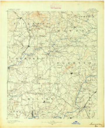
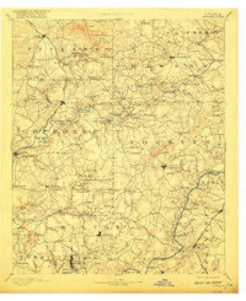
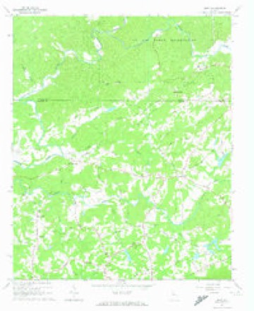
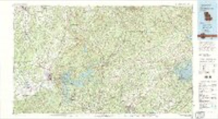
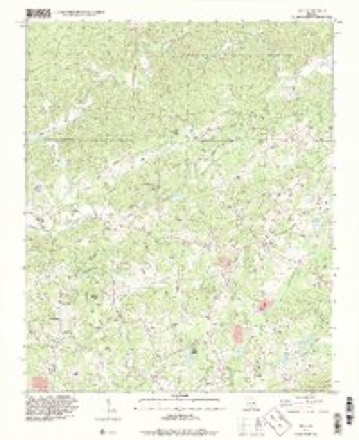
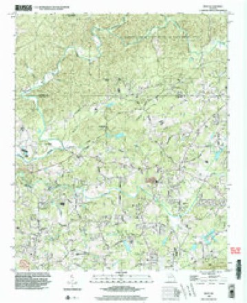
22 topographic sheets cover this place, the earliest surveyed in 1890 and the latest in 1999. It stands in the Silver City census division. It lies in ZIP code area 30028. It stands on Squattingdown Creek. The Survey maps it on the Matt quadrangle. It stands 1,220 feet above sea level.
Topographic sheets covering this place
10 surveys from 22 printed sheetsMatched by testing this settlement's coordinate against the published boundary of every sheet in the United States Geological Survey's historical collection. Each opens the scanned sheet at the Survey.
- 1890 USGS Suwanee quadrangle1:125000
- 1894 USGS Suwanee quadrangle1:125000, 6 printings
- 1955 USGS Rome quadrangle1:250000
- 1958 USGS Rome quadrangle1:250000, 3 printings
- 1961 USGS Rome quadrangle1:250000
- 1963 USGS Rome quadrangle1:250000
- 1964 USGS Matt quadrangle1:24000, 5 printings
- 1981 USGS Cartersville quadrangle1:100000, 2 printings
- 1993 USGS Matt quadrangle1:24000
- 1999 USGS Matt quadrangle1:24000




Fires near this place
190 since 1992Regional context, not property-specific evidence. The federal wildfire occurrence database lists 190 fires within 5 miles of Matt between 1992 and 2018, burning about 317 acres in total. 6 started naturally. 40 were recorded as arson. Distance is straight-line from the map coordinates, so a fire counted here may appear on a neighbouring settlement's page as well.
| Reported cause | Fires |
|---|---|
| Debris and open burning | 103 |
| Arson/incendiarism | 40 |
| Missing data/not specified/undetermined | 11 |
| Misuse of fire by a minor | 9 |
| Equipment and vehicle use | 8 |
| Recreation and ceremony | 7 |
| Natural | 6 |
| Smoking | 6 |
The most recent of them, most recent first, with the day each was reported and the service that recorded it.
| Date | Cause | Size | Reported by | Name on the report |
|---|---|---|---|---|
| 7 September 1999 | Debris and open burning | under an acre | Georgia Forestry Commission | not named |
| 30 September 1993 | Debris and open burning | under an acre | Georgia Forestry Commission | not named |
| 26 September 2004 | Equipment and vehicle use | 1.2 acres | Georgia Forestry Commission | not named |
| 23 September 1996 | Natural | under an acre | Georgia Forestry Commission | not named |
| 16 September 2016 | Recreation and ceremony | under an acre | Georgia Forestry Commission | FY2017-FORSYTH-002 |
| 13 September 2016 | Debris and open burning | 1.0 acres | Georgia Forestry Commission | FY2017-DAWSON-003 |
| 10 September 1995 | Debris and open burning | under an acre | Georgia Forestry Commission | not named |
| 1 September 2016 | Debris and open burning | under an acre | Georgia Forestry Commission | FY2017-DAWSON-002 |
Settlements close enough to share some of these fires:
Mines and quarries near this place
9 within 5 milesRegional context, not property-specific evidence. The federal mineral resources record lists 9 workings within 5 miles of Matt: 7 prospects, 2 past producers. None of them still produces. What was taken out: Gold, Mica. Distance is straight-line from the map coordinates, so a quarry counted here may appear on a neighbouring settlement's page as well.
| Where | Site | Commodity | Status | Recorded |
|---|---|---|---|---|
| Harrison Prospect | Mica | Prospect | ||
| Mcbrayer Prospect | Mica | Prospect | ||
| Barrett | Gold | Prospect | Vein | |
| Barrett Au | Gold | Prospect | Vein | |
| Crawford | Gold | Prospect | Vein | |
| Hayes | Gold | Prospect | Vein | |
| Looper | Gold | Past Producer | Vein | |
| Sawnee Mt. | Gold | Past Producer | Stream Placer | |
| Vandiviere | Gold | Prospect | Vein |
Storms near this place
20 since 1994Regional context, not property-specific evidence. The National Weather Service names Matt in 20 storm reports between 1994 and 2023: 11 thunderstorm wind, 7 hail, 2 lightning. No death or injury is recorded in these reports. Each account below is quoted exactly as the forecast office filed it, from the NOAA Storm Events Database, and each date opens the federal record of that event.
| When | Event | Place named | Harm | What the report says |
|---|---|---|---|---|
| April 2007 | Hail | Matt | $355,000 | Numerous reports of hail, ranging in size from nickels to golf balls, were received from the Forsyth County Emergency Management Director and the public across northern Forsyth county from west of Matt, along Matt Highway near the Cherokee county line, to Silver City on the Dawson county line, and eastward to northeast of Chestatee in the extreme northeast corner of the county. Large hail was reported in Matt, Coal Mountain and Silver City. The Emergency Manager reported golf ball-sized hail near the Cherokee county line, west of Matt on Georgia Highway. Several automobiles in the area sustained broken windshields. Golf ball-sized hail was also reported from five miles south to three miles east of Silver City in extreme northern Forsyth county. There were other reports from the public of quarter-sized hail from Matt to just south of Silver City. The public also observed nickel-sized hail further south, just north of Cumming. Near Silver City, the public reported that hail, the size of ping pong balls or larger, fell for up to 10 minutes and the ground was covered in some locations. |
| July 2008 | Thunderstorm Wind | Matt | $250,000 | The Forsyth County 911 Center reported that at least two dozen trees and several power lines were down in the northern portion of the county. At least five roads were blocked from downed trees. One tree was down on a home causing significant damage to the structure. Another tree was down on a 500 gallon propane tank causing the tank to leak. |
| September 2011 | Thunderstorm Wind | Matt | $30,000 | The Forsyth County Emergency Management reported that at least six trees were down in the far northern part of the county near Silver City. One tree was down on a home causing damage to the structure. At least two power lines were also down. Three of the trees and one of the power lines were snapped in half. There was suspicion that the event may have been caused by a weak EF0 tornado. However, this was not confirmed. WSR-88D base velocity data indicated at least weak rotation in the area at the time. |
| July 2008 | Lightning | Matt | $25,000 | The Forsyth County Emergency Management Director reported that lightning resulted in one structural fire as well as setting the adjacent field on fire. A separate brush fire was also reported as a result of lightning. In addition, smoke was reported in one home as a result of a lightning strike. |
| August 2020 | Thunderstorm Wind | Matt | $15,000 | The public reported a few trees blown down north and west of Cumming. A tree blown down on Magnolia Creek Drive crushed a golf cart and a couple of falling trees along Bayberry Drive caused minor damage to a roof. |
| July 2023 | Thunderstorm Wind | Matt | $10,000 | Report of numerous trees with their tops sheared off in the Fields Pond Neighborhood in N Forsyth County. |
| July 2023 | Thunderstorm Wind | Matt | $5,000 | Multiple trees and powerlines down throughout the Matt community of Forsyth County. |
| March 2011 | Lightning | Matt | $5,000 | The Forsyth County Emergency Management Director reported that two homes were struck by lightning in the northern part of the county. One of the homes was on John Burris Road and the other was along Matt Highway. No fires were observed, and damage was confined to minor electrical damage. |
| April 2007 | Thunderstorm Wind | Matt | $5,000 | The Forsyth County Emergency Management Director reported that a horse trailer was overturned in the Oak Grove area. In addition, a large playset was overturned in the neighboring yard. |
| February 2009 | Thunderstorm Wind | Matt | $4,000 | The Forsyth County 911 Center reported that a number of trees were blown down across the county. Radar data supported that most of this likely occurred across the northern half of the county. |
| June 2019 | Thunderstorm Wind | Matt | $1,000 | The Forsyth County 911 center reported a tree blown down near the intersection of Fields Pond Overlook and Mockingbird Road. |
| August 2012 | Thunderstorm Wind | Matt | $1,000 | The Forsyth County 911 Center reported that a couple of trees were blown down on Wallace Tatum Road and Highway 369, and on Old Federal Road and County Line Road. |
| June 2023 | Thunderstorm Wind | Matt | $500 | Report from MPING of 1inch limbs broken and shingles blown off roof. |
| July 2023 | Thunderstorm Wind | Matt | - | A survey of northern Forsyth County was done to assess whether or|not a tornado occurred. The NWS assessment concluded that|widespread significant wind damage occurred and that a tornado|path within the large scale wind damage was not discernible. The|particular area of focus started on Oak Grove Circle southeast|across Dahlonega Hwy, along Tallant Road and across Hopewell|Road. Radar data suggests that this region was located at the apex|of a bowing segment within the thunderstorm complex which had |already caused significant widespread wind damage. Tree fall |patterns along Tallant Road, Hopewell Rd and south of Tallant Road|along Dahlonega Hwy were more suggestive of straight line winds |or downburst due to the fanning out pattern observed. While it is |possible that a tornado can form along a leading edge of a bowing |segment which would resemble an eddy, we were unable to discern |from the damage if that had occurred. Regardless, a wind event |took place in this region which resembled mid range EF1 damage. |Several reporting stations throughout northern Forsyth County |recorded wind gusts of 68 and 69 mph. Winds with these pockets of |more intense tree damage, particularly along Tallant Road, is |estimated to have been 90-95mph. |
| June 2022 | Hail | Matt | - | Quarter sized hail reported at the intersection of Dr Bramblett Rd and Pleasant Grove Rd. |
| April 2016 | Hail | Matt | - | A report was received over social media of quarter size hail at Dr. Bramblett Road and Pleasant Grove Road. |
| July 2008 | Hail | Matt | - | The public observed penny to nickel-sized hail in the northern portion of the county northwest of Cumming and in the Silver City area. Radar data supports that hail of this size or larger likely occurred across a large portion of north central Forsyth county. |
| April 2006 | Hail | Matt | - | Two reports of quarter-sized hail were received from the public, one in the Coal Mountain area and another on the northwest side of Lake Lanier. |
| June 1994 | Hail | Matt | - | The Forsyth county sheriff department reported quarter size hail at Matt along Georgia Highway 369. |
| June 1994 | Hail | Matt | - | no account filed |
Nearest settlements
The eight closest, with where each one stands in the county. Distances are straight-line, computed from the Geographic Names Information System coordinates.
| Map | Place | Distance | Sheets |
|---|---|---|---|
| Hightower | 3.3 miles | 22 | |
| Coal Mountain | 3.3 miles | 19 | |
| Dunn | 4.4 miles | 21 | |
| Heardville | 4.6 miles | 22 | |
| Pirkle Woods | 5.3 miles | 21 | |
| Cumming | 6.3 miles | 21 | |
| Ducktown | 6.4 miles | 21 | |
| Drew | 7.2 miles | 21 |
Elsewhere
Matched on this settlement's Geographic Names Information System number rather than its name, so it cannot be a different place of the same name in another state.
| Wikipedia article on Matt | An encyclopaedic summary. Its text is share-alike, so it is linked here rather than copied. |
| Wikidata item Q6788261 | The structured record the population and elevation above come from. Public domain (CC0). |
Provenance
This settlement is recorded in the Geographic Names Information System as feature 332332. The sheet list is computed by point-in-boundary test against the United States Geological Survey's historical topographic inventory. Both are works of the United States government and carry no copyright under 17 U.S.C. 105.
Wildfire. Short, Karen C. 2022. Spatial wildfire occurrence data for the United States, 1992-2020 [FPA_FOD_20221014]. 6th Edition. Fort Collins, CO: Forest Service Research Data Archive. https://doi.org/10.2737/RDS-2013-0009.6 Collected with United States Government funding and usable without additional permissions or fees.
Mines and quarries. USGS Mineral Resources Data System (MRDS) https://mrdata.usgs.gov/mrds/ A work of the United States government, no copyright under 17 U.S.C. 105.
Storms. NOAA National Centers for Environmental Information, Storm Events Database https://www.ncei.noaa.gov/stormevents/ A work of the United States government, no copyright under 17 U.S.C. 105. Narratives are quoted verbatim from the National Weather Service report and are not edited or summarised.