 Block
Hightower, Georgia
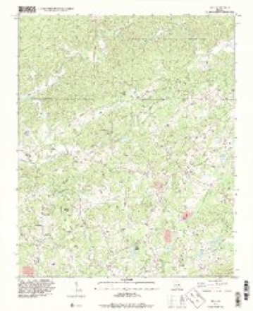
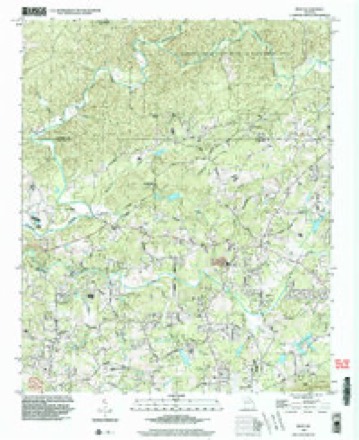
22 topographic sheets cover this place, the earliest surveyed in 1890 and the latest in 1999. It stands in the Silver City census division. It lies in ZIP code area 30107. It stands on Bannister Creek. The Survey maps it on the Matt quadrangle.
Topographic sheets covering this place
10 surveys from 22 printed sheetsMatched by testing this settlement's coordinate against the published boundary of every sheet in the United States Geological Survey's historical collection. Each opens the scanned sheet at the Survey.
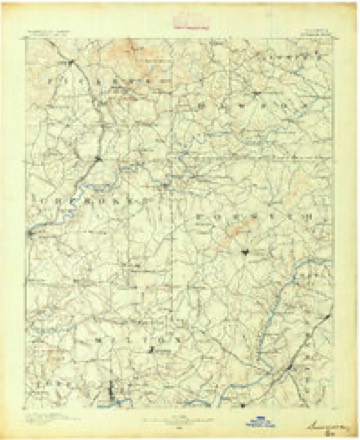
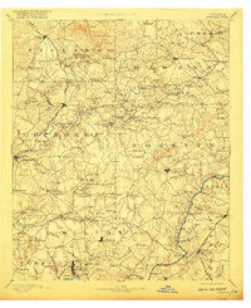
- 1890 USGS Suwanee quadrangle1:125000
- 1894 USGS Suwanee quadrangle1:125000, 6 printings
- 1955 USGS Rome quadrangle1:250000
- 1958 USGS Rome quadrangle1:250000, 3 printings
- 1961 USGS Rome quadrangle1:250000
- 1963 USGS Rome quadrangle1:250000
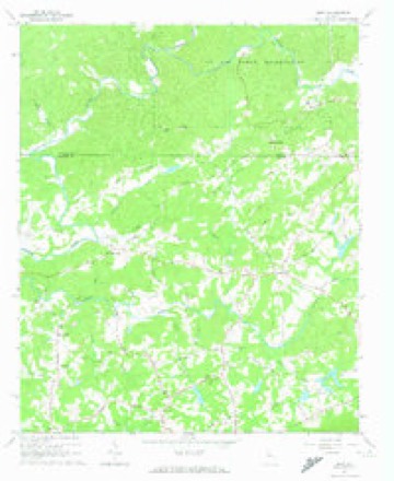
- 1964 USGS Matt quadrangle1:24000, 5 printings
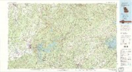
- 1981 USGS Cartersville quadrangle1:100000, 2 printings
- 1993 USGS Matt quadrangle1:24000
- 1999 USGS Matt quadrangle1:24000




Fires near this place
209 since 1992Regional context, not property-specific evidence. The federal wildfire occurrence database lists 209 fires within 5 miles of Hightower between 1992 and 2019, burning about 443 acres in total. 4 started naturally. 62 were recorded as arson. Distance is straight-line from the map coordinates, so a fire counted here may appear on a neighbouring settlement's page as well.
| Reported cause | Fires |
|---|---|
| Debris and open burning | 95 |
| Arson/incendiarism | 62 |
| Missing data/not specified/undetermined | 17 |
| Misuse of fire by a minor | 13 |
| Smoking | 7 |
| Recreation and ceremony | 7 |
| Equipment and vehicle use | 4 |
| Natural | 4 |
The most recent of them, most recent first, with the day each was reported and the service that recorded it.
| Date | Cause | Size | Reported by | Name on the report |
|---|---|---|---|---|
| 9 September 1993 | Misuse of fire by a minor | under an acre | Georgia Forestry Commission | not named |
| 7 September 1999 | Debris and open burning | under an acre | Georgia Forestry Commission | not named |
| 30 September 1993 | Debris and open burning | under an acre | Georgia Forestry Commission | not named |
| 2 September 1993 | Arson/incendiarism | 2.4 acres | Georgia Forestry Commission | not named |
| 16 September 2016 | Debris and open burning | under an acre | Georgia Forestry Commission | FY2017-FORSYTH-003 |
| 12 September 1998 | Arson/incendiarism | under an acre | Georgia Forestry Commission | not named |
| 10 September 1995 | Debris and open burning | under an acre | Georgia Forestry Commission | not named |
| 1 September 2016 | Debris and open burning | under an acre | Georgia Forestry Commission | FY2017-DAWSON-002 |
Settlements close enough to share some of these fires:
Mines and quarries near this place
10 of 12 shownRegional context, not property-specific evidence. The federal mineral resources record lists 12 workings within 5 miles of Hightower: 8 prospects, 3 past producers, 1 occurrence. None of them still produces. What was taken out: Gold, Mica, Barium-Barite, Cobalt, Copper. Distance is straight-line from the map coordinates, so a quarry counted here may appear on a neighbouring settlement's page as well.
| Where | Site | Commodity | Status | Recorded |
|---|---|---|---|---|
| Creighton Mine | Gold, Cobalt | Past Producer | ||
| Franklin-Creighton Mine | Gold, Cobalt, Copper | Past Producer | 1841, 1909 | |
| Unnamed Barium Deposit | Barium-Barite | Occurrence | ||
| Harrison Prospect | Mica | Prospect | ||
| Mcbrayer Prospect | Mica | Prospect | ||
| Barrett | Gold | Prospect | Vein | |
| Barrett Au | Gold | Prospect | Vein | |
| Cox Prospect | Gold | Prospect | ||
| Crawford | Gold | Prospect | Vein | |
| Hayes | Gold | Prospect | Vein |
Storms near this place
11 since 2003Regional context, not property-specific evidence. The National Weather Service names Hightower in 11 storm reports between 2003 and 2025: 6 thunderstorm wind, 4 flood, 1 flash flood. No death or injury is recorded in these reports. Each account below is quoted exactly as the forecast office filed it, from the NOAA Storm Events Database, and each date opens the federal record of that event.
| When | Event | Place named | Harm | What the report says |
|---|---|---|---|---|
| September 2009 | Flood | Hightower | $330,000 | Forsyth county emergency management personnel and USGS stream gages confirmed that major flooding continued across much of the county, especially the southern sections. Many homes, apartments, businesses, and roads sustained damages from flooding. Several culverts and/or bridges were washed out and several roads were closed. Flood waters began to recede after 830 am EDT on the 22nd, but many locations, especially in the southern part of the county, remained in moderate to major flood until 715 am EDT on the 23rd. Monetary damage from flooding continued to mount, with an additional $330,000 during this time frame. |
| September 2009 | Flood | Hightower | $264,000 | Significant to near record flooding continued to expand across the northern portions of the Atlanta metropolitan area as renewed rounds of showers and thunderstorms with very heavy rain tracked repeatedly over the same areas throughout the day. A number of roads, especially in the southern portion of the county, were closed from flooding and washed out bridges and/or culverts, including Georgia Highway 9 at Big Creek. Many homes, apartments, and businesses sustained significant flood damage. Monetary damage to roads and property during this time frame across Forsyth county was estimated to exceed $2.5 million. |
| June 2011 | Thunderstorm Wind | Hightower | $250,000 | The Forsyth County Emergency Management Director reported that several trees were down. Up to four homes sustained minor to moderate damage from downed trees. Several power lines were down. Some roads were temporarily blocked from downed trees and power lines. |
| January 2020 | Thunderstorm Wind | Hightower | $10,000 | The Forsyth County Emergency Manager reported trees and power lines blown down from west of Coal Mountain to Lake Lanier Islands. |
| June 2025 | Thunderstorm Wind | Hightower | $3,000 | Several trees and large tree limbs were downed along Hightower Circle. |
| July 2016 | Thunderstorm Wind | Hightower | $3,000 | The Forsyth County Emergency Management Agency reported trees blown down on Nicholson Road near Montclair Hills Drive, on Matt Highway near Whitmire Road and on Wallace Tatum Road near Tatum Woods Drive. |
| September 2011 | Flash Flood | Hightower | $3,000 | The Forsyth County Emergency Management Director reported flash flooding near Georgia Highway 369 in the Heardsville area in the northwest part of the county. Debris was observed on the roadway. KFFC WSR-88D estimated that four to five inches of rain fell across the northwest part of Forsyth county. Monetary damage was confined to debris removal. |
| January 2009 | Flood | Hightower | $2,000 | The Forsyth County Emergency Management Director reported that the Etowah River had risen out of it banks at Old Federal Road and Nicholson Road in the northwest part of the county. Nicholson Road was inundated with at least a foot of water near Bannister Creek. In addition, Setting Down Creek was flooding at Concord and Oak Grove Roads. Six roads were closed as a result of these flooding incidents. Windermere Park in the southeast part of the county was also closed as a consequence of flooding from the Etowah River. Damage was limited to debris removal. |
| November 2006 | Flood | Hightower | $1,600 | The Forsyth County Emergency Management Director reported that flooding from the Etowah river required debris cleanup at the Old Federal Road Bridge at Nicholson Road in the far northwest part of the county. |
| February 2020 | Thunderstorm Wind | Hightower | $1,000 | A report was received over social media of a tree blown down across Seabolt Road. |
| June 2003 | Thunderstorm Wind | Hightower | $1,000 | The Fosyth county Emergency Management Director reported that some trees were blown down. |
Nearest settlements
The eight closest, with where each one stands in the county. Distances are straight-line, computed from the Geographic Names Information System coordinates.
| Map | Place | Distance | Sheets |
|---|---|---|---|
| Heardville | 2.1 miles | 22 | |
| Matt | 3.3 miles | 22 | |
| Ducktown | 4.7 miles | 21 | |
| Coal Mountain | 6.5 miles | 19 | |
| Dunn | 6.6 miles | 21 | |
| Drew | 6.8 miles | 21 | |
| Pirkle Woods | 7.3 miles | 21 | |
| Cumming | 7.9 miles | 21 |
Provenance
This settlement is recorded in the Geographic Names Information System as feature 356290. The sheet list is computed by point-in-boundary test against the United States Geological Survey's historical topographic inventory. Both are works of the United States government and carry no copyright under 17 U.S.C. 105.
Wildfire. Short, Karen C. 2022. Spatial wildfire occurrence data for the United States, 1992-2020 [FPA_FOD_20221014]. 6th Edition. Fort Collins, CO: Forest Service Research Data Archive. https://doi.org/10.2737/RDS-2013-0009.6 Collected with United States Government funding and usable without additional permissions or fees.
Mines and quarries. USGS Mineral Resources Data System (MRDS) https://mrdata.usgs.gov/mrds/ A work of the United States government, no copyright under 17 U.S.C. 105.
Storms. NOAA National Centers for Environmental Information, Storm Events Database https://www.ncei.noaa.gov/stormevents/ A work of the United States government, no copyright under 17 U.S.C. 105. Narratives are quoted verbatim from the National Weather Service report and are not edited or summarised.