 Block
From the record
5 National Register listings published here, 1 of them a National Historic Landmark.
Sources: the National Register database, National Park Service
72 topographic sheets and 3 fire insurance atlases across 1 place.
5 National Register listings published here, 1 of them a National Historic Landmark.
Sources: the National Register database, National Park Service
Taken for the Office of War Information and the Farm Security Administration, who photographed the country between 1935 and 1944. Works of United States government photographers, with no known restriction on use. Each opens its catalogue record.
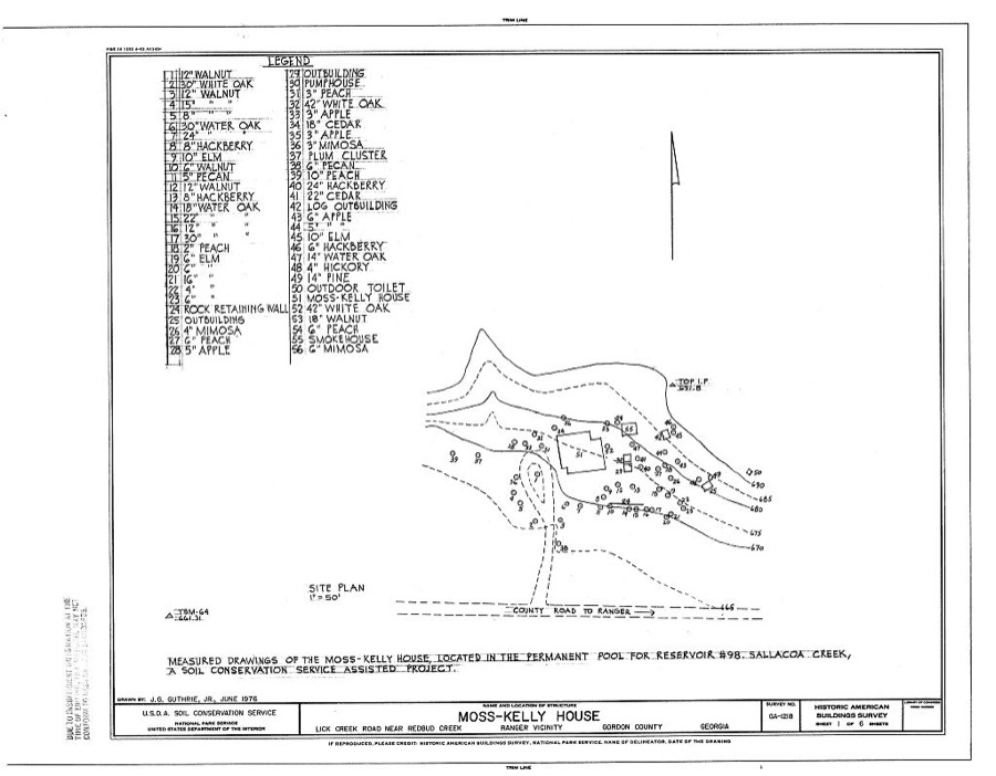
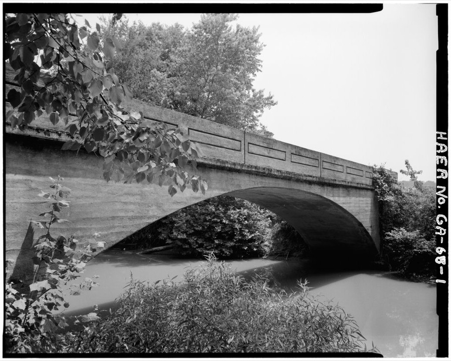
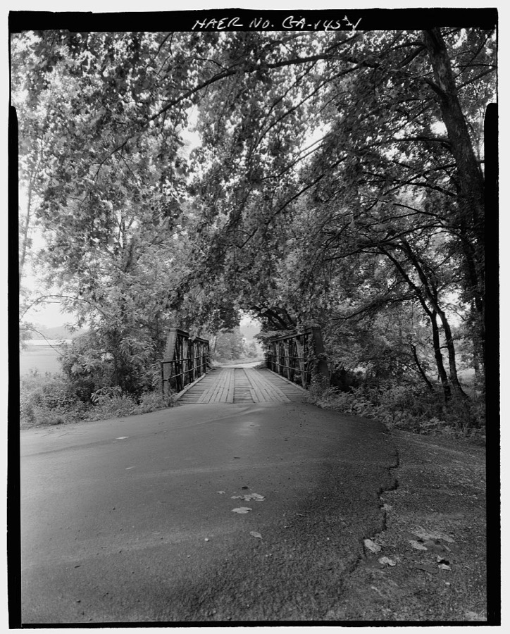
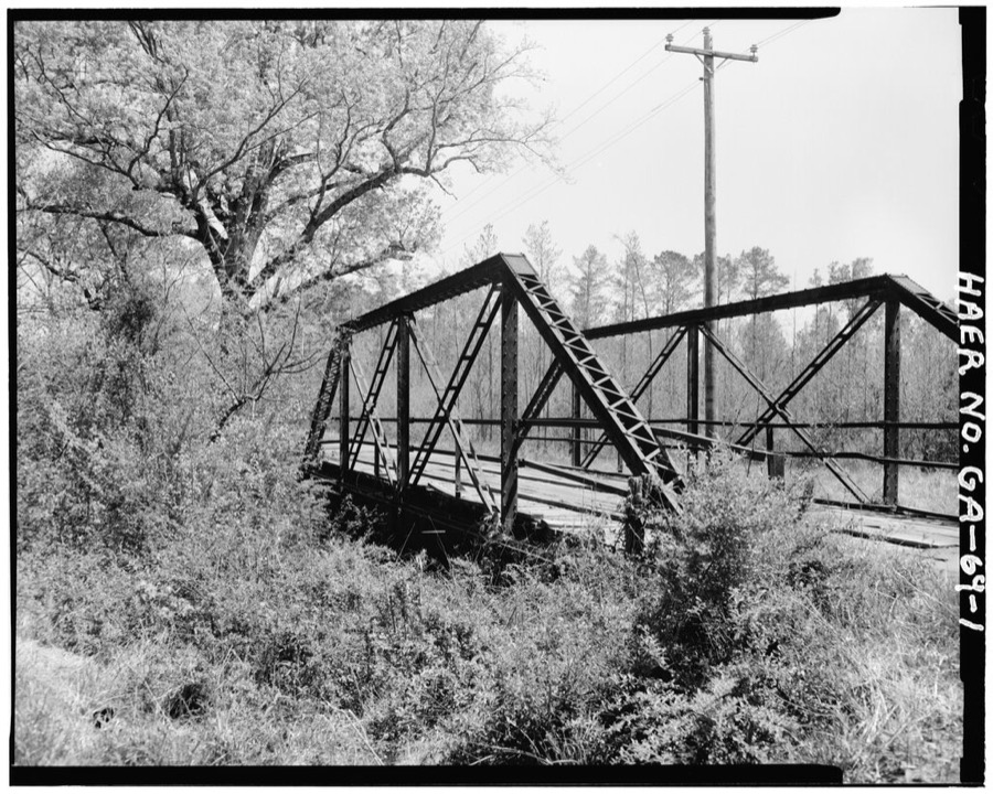
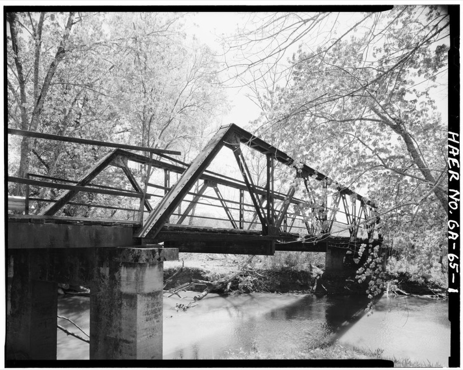
Every property in this county listed on the National Register of Historic Places, with the year it was listed and the federal nomination document.
| Photograph | Property | Type | Listed | Reference |
|---|---|---|---|---|
 | Calhoun Depot | building | 1982 | 82002422 |
| Calhoun Downtown Historic District | district | 2011 | 11000332 | |
 | Freeman-Hurt House | building | 1976 | 76000636 |
 | New Echota | district | 1970 | 70000869 |
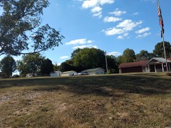 | William Taylor House | building | 2002 | 02001414 |
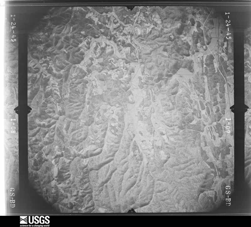
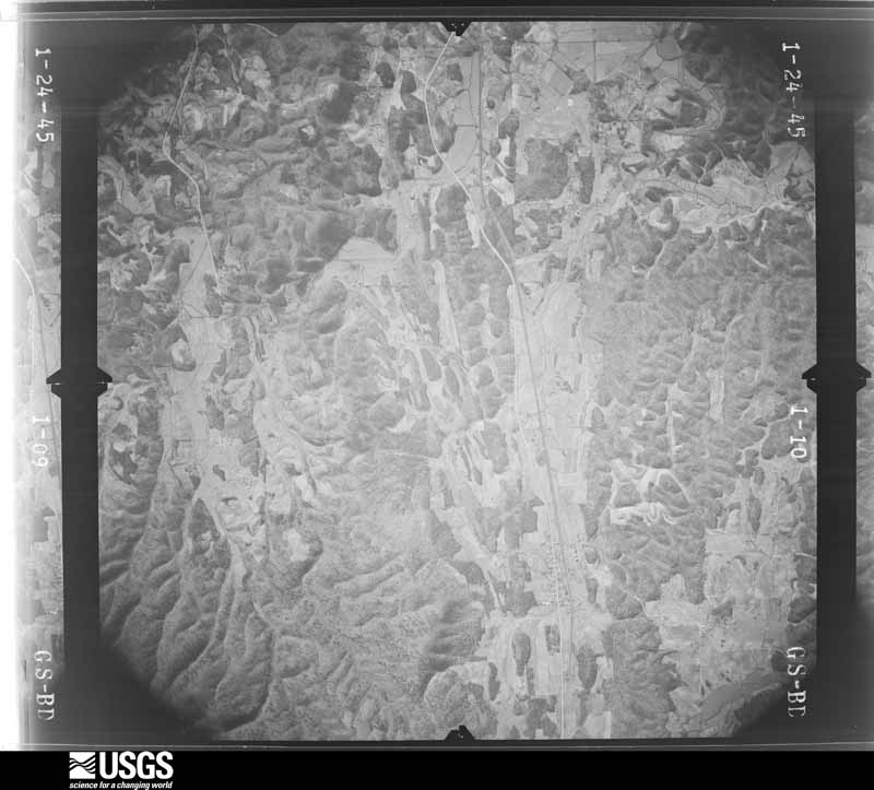
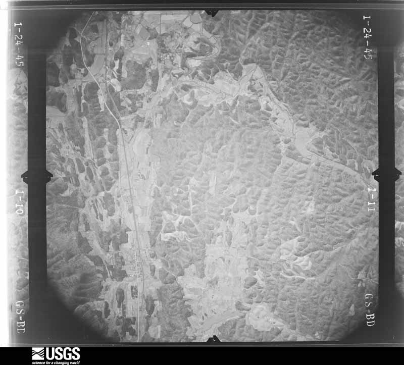
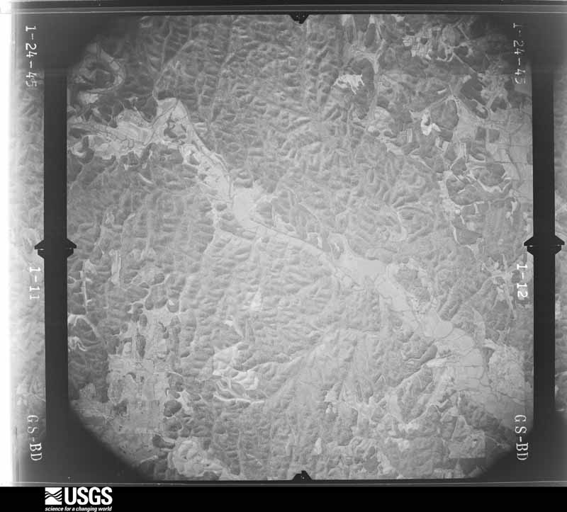
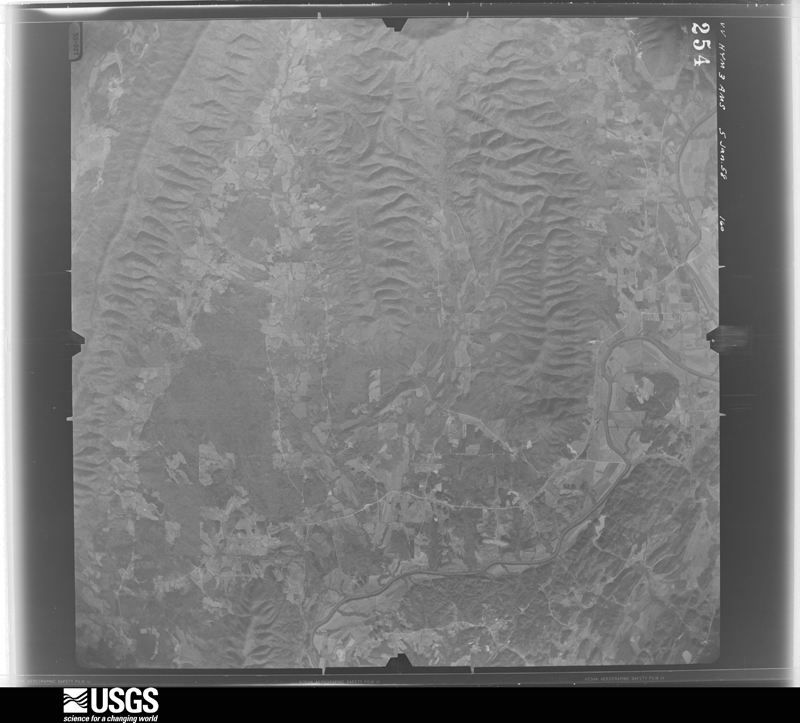
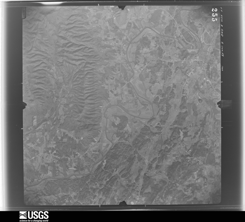
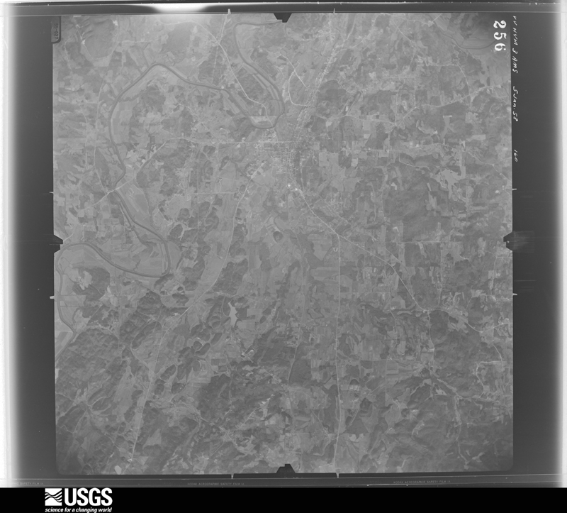
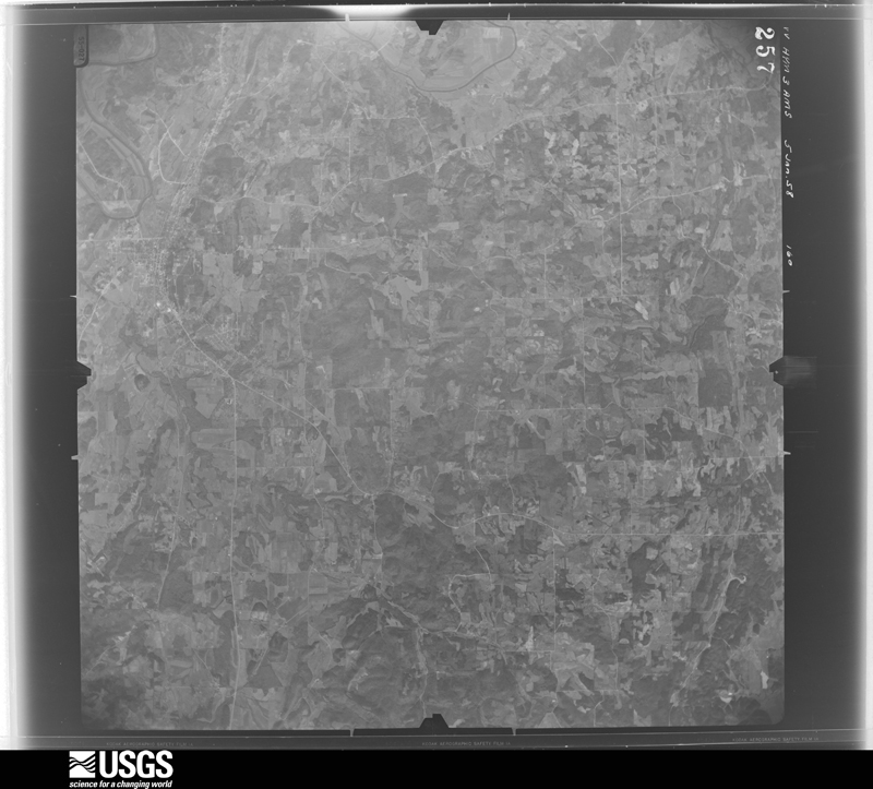
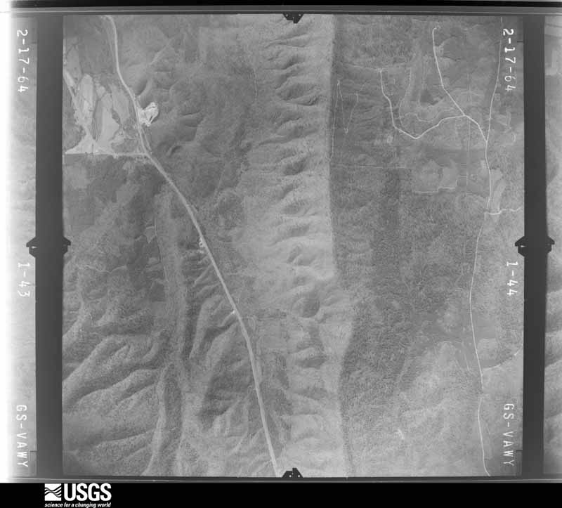
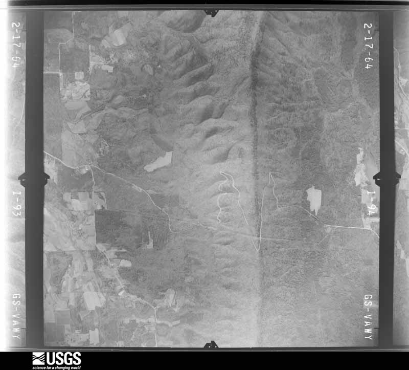
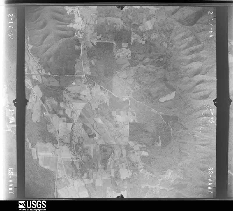
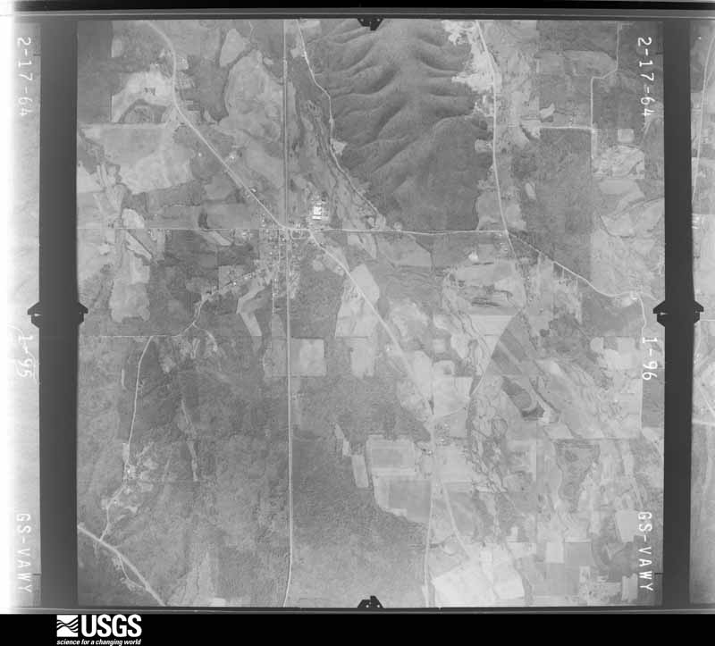
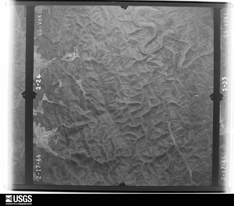
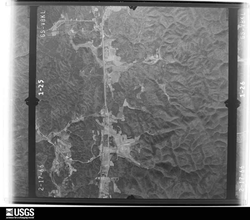
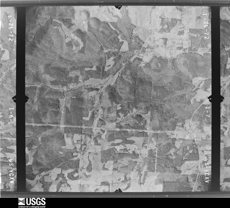
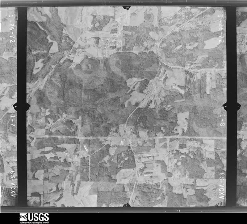
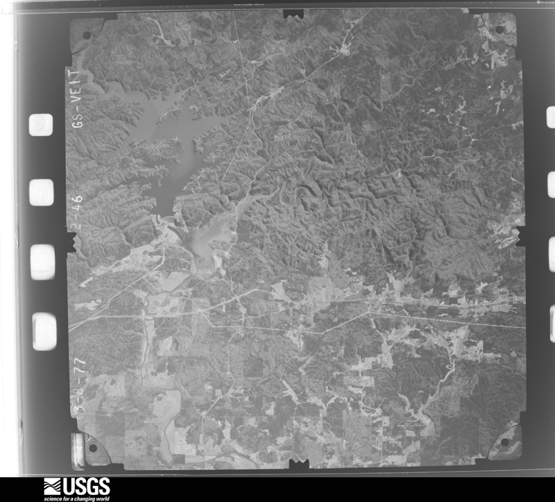
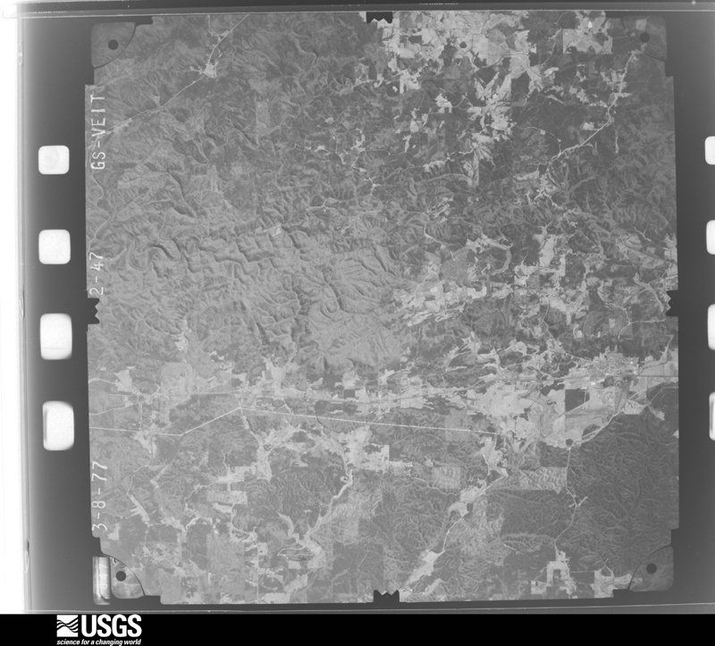
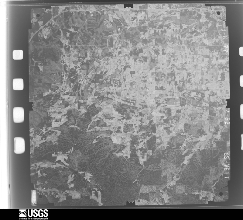
Flown by the U.S. Geological Survey between 1937 and 1989, the Aerial Photo Single Frames collection is the definitive mid-century view of the land: fields, roads and rivers as the camera saw them. The Survey holds 481 frames inside the rectangle that bounds this county; the 24 frames below were taken over the county itself, chosen across the decades of flights (at most four a year from that rectangle), so one flight cannot crowd out the rest. The full set is free to browse and download at EarthExplorer under the dataset Aerial Photo Single Frames.
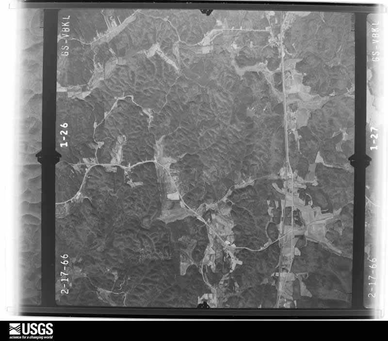
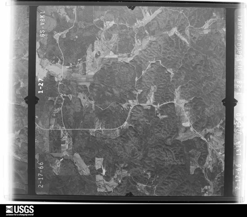
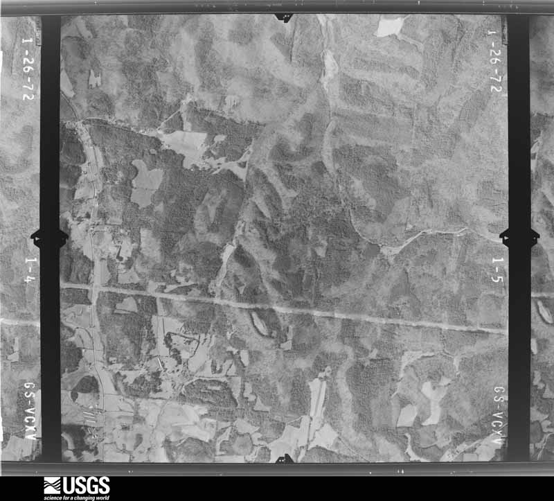
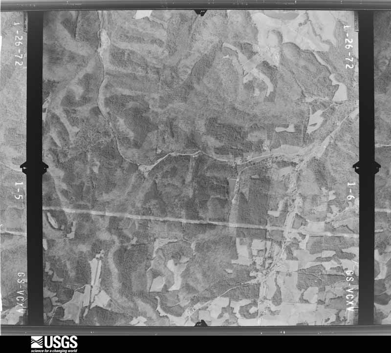

The thermometers that kept this county's weather, and the gages that measured the flow of its streams, as the federal records hold them. The extremes below are measured values from those records, not estimates.
Who lived here in 1950, one enumeration district at a time, as the Census Bureau described each district. Each row opens its official National Archives result, with Population Schedules and ED Maps available there.
Every wildfire the federal occurrence database records inside this county: 1,320 of them, burning about 4,373 acres. 33 started naturally and 370 were recorded as arson. Each settlement page carries the fires within five miles of it.
| Reported cause | Fires |
|---|---|
| Debris and open burning | 632 |
| Arson/incendiarism | 370 |
| Equipment and vehicle use | 117 |
| Misuse of fire by a minor | 52 |
| Missing data/not specified/undetermined | 50 |
| Natural | 33 |
| Recreation and ceremony | 29 |
| Smoking | 26 |
| Railroad operations and maintenance | 11 |
The five largest, by the area the report gives. Two of them were set deliberately.
| Date | Cause | Size | Reported by | Name on the report |
|---|---|---|---|---|
| 5 March 1996 | Arson/incendiarism | 208 acres | Georgia Forestry Commission | not named |
| 29 August 2011 | Debris and open burning | 175 acres | Georgia Forestry Commission | FY2012-GORDON-006 |
| 29 May 2007 | Recreation and ceremony | 153 acres | Chattahoochee-Oconee National Forest | POCKET GAP |
| 8 July 2016 | Natural | 138 acres | Georgia Forestry Commission | FY2017-GORDON-001 |
| 16 November 2016 | Arson/incendiarism | 108 acres | Georgia Forestry Commission | FY2017-GORDON-032 |
| 18 November 2012 | Recreation and ceremony | 108 acres | Chattahoochee-Oconee National Forest | TURKEY FIRE |
| 9 October 2016 | Misuse of fire by a minor | 94 acres | Georgia Forestry Commission | FY2017-GORDON-013 |
| 22 March 2008 | Debris and open burning | 91 acres | Georgia Forestry Commission | not named |
Every settlement page carries the fires within five miles of it - see the settlement index below.
The NOAA Storm Events Database holds 293 reports for this county, causing 6 deaths, 51 injuries and about $39,635,750 in recorded property damage. Each settlement page carries the reports that name it.
| Kind of event | Reports |
|---|---|
| Thunderstorm Wind | 124 |
| Hail | 108 |
| Flash Flood | 30 |
| Tornado | 17 |
| Lightning | 8 |
| Flood | 3 |
| Funnel Cloud | 1 |
| Heavy Rain | 1 |
| Debris Flow | 1 |
The most serious of them, by death, then injury, then recorded damage. The accounts are quoted exactly as the forecast office filed them.
| When | Event | Place named | Harm | What the report says |
|---|---|---|---|---|
| April 1974 | Tornado (F4) | not stated | 6 killed, 25 hurt, $2,500,000 | no account filed |
| January 2013 | Tornado (EF3) | Blackwood | 8 hurt, $15,000,000 | The tornado that first touched down in Bartow County continued into Gordon County. Numerous trees and power lines were downed from Redbud to Highway 53 and seven poultry homes were destroyed. In all, 268 homes were impacted: 30 were completely destroyed, 110 had major damage, and another 70 had minor damage. Of these, 202 were single family homes and 66 were mobile homes. Eight injuries were also reported which all occurred in one home. Some of the EF-3 damage in Gordon County occurred literally only blocks away from EF-3 damage that occurred on December 22, 2011.|[01/30/13: Tornado #1, County #2-2, EF3, Bartow-Gordon, 2013:001]. |
| March 1973 | Tornado (F2) | not stated | 5 hurt, $250,000 | no account filed |
| April 1957 | Tornado (F2) | not stated | 5 hurt, $250,000 | no account filed |
| December 2011 | Tornado (EF3) | Plainville | 4 hurt, $500,000 | A damage survey conducted by the National Weather Service Forecast Office in Peachtree City, Georgia confirmed that the EF0 tornado, that initially touched down in extreme northeast Floyd county and continued across extreme northwest Bartow county, continued into Gordon county. The tornado entered Gordon county about 2.8 miles east-southeast of Plainville before continuing on a northeastward track into central Gordon county, lifting and dissipating on the east side of Calhoun. The tornado strengthened to an EF1 almost immediately after entering Gordon county, then to an EF3 as it approached the south side of Calhoun. At its maximum intensity and size the tornado was determined to be 880 yards or 1/2 mile wide and had maximum winds of 150 mph. The tornado tracked at least 10 miles through Gordon county. As the tornado entered Gordon county, several homes along Emily Lane were damaged from falling trees just east of Plainville. As the tornado strengthened to an EF3 near the corner of Boone Ford Road and Beason Road just south of Calhoun, were several additional homes were damaged and one was completely destroyed. Numerous trees and power lines were also down along the path of the tornado through Gordon county, including several blocking Interstate-75 near the Bartow county line. Four injuries were also reported from the destroyed home.||[12/22/11: Tornado #2, County #3-3, EF3, Floyd-Bartow-Gordon, 2011:028]. |
| March 1998 | Thunderstorm Wind | Ranger | 3 hurt, $600,000 | Straight-line thunderstorm winds from a downburst flattened 4 brand new chicken houses on East Damascus Road. About a mile north a mobile home was ripped from its foundation and destroyed. The 4 mile long damage path began just north of highway 53 and moved north-northeastward to near the Pickens county line. Numerous trees were downed along the path. Winds were estimated at 60 to 100 mph. |
| June 2014 | Thunderstorm Wind | Echota | 1 hurt, $75,000 | The Gordon County Emergency Manager reported that multiple trees were down. Some power lines down as well, along with vehicle and minor structural damage from falling trees. One woman sustained minor injuries when a tree fell on her car. |
| May 2002 | Thunderstorm Wind | Countywide | $11,650,000 | A National Weather Service disaster survey team observed that a thunderstorm macroburst, or large area of estimated 80 to 100 mph straight line winds traversed much of the county, but hit the Calhoun area particularly hard. The thunderstorm macroburst entered the northwest part of the county northwest of Sugar Valley, and then traveled southeast through the county within an approximately 30 minute period of time. As this macroburst traveled through the Calhoun area, a small, two-segmented F0 to weak F1 tornado touched down, first just southwest of Calhoun and then again just east of Calhoun, inflicting some of the worst damage in the county. Damage across the county was widespread and extensive and as such the area was declared in a state of emergency by the governor. Literally thousands of trees, dozens of which were 2 feet or more in diameter, and hundreds of power lines and telephone poles were either blown down or brought down by large trees. Damage surveys and insurance claims indicated that well over 300 structures were either damaged or destroyed, including 269 homes and 48 commercial structures. Numerous cars were also either damaged or destroyed by down trees and debris, including six classic cars valued at $100,000. In one case, the damage to a large carpet dyeing facility was described as if a missile had hit the facility. Some of the more significant damaged structures and businesses included a large dyeing plant in Calhoun, two schools, one an elementary and the other a high school in Calhoun, a church, a grocery store, two barns at a large cow farm, and several businesses such as a pet store, a barbershop, a tanning salon, a dental office, insurance company office, and a computer store. In addition, 50,000 chickens were destroyed on a chicken farm when the structure collapsed during the storm. While miraculously, no injuries or deaths were reported amidst all of this damage, at least two instances were reported of trees crashing through homes and landing just inches away from individuals sleeping in their bed. At least 20,000 people, namely most of the residents of the county, were without power for at least one day, and several, especially in the Calhoun area, remained without power for nearly a week. Dozens of roads were also blocked by the downed trees, power lines, and other debris. |
| April 2011 | Hail | Resaca | $1,580,000 | An amateur radio operator relayed a report of baseball-sized hail between Resaca and Nickelsville. As the storm first intensified to the west near Resaca, it initially produced penny-sized hail. |
| May 2008 | Hail | Oostanaula | $1,000,000 | The public reported baseball-sized hail in Oostanaula, half-dollar-sized hail southwest of Calhoun, and quarter-sized hail near the Bartow county line about six miles south of Calhoun. Hail covered the ground up to two inches deep south of Calhoun. The public estimated wind gusts at 60 mph near the Bartow county line, but other than a few tree limbs, no other damage was reported. |
| April 2011 | Thunderstorm Wind | Resaca | $500,000 | The Gordon County Emergency Management Director reported the roof was blown off a commercial building in Calhoun. Two other structures suffered major damage while 20 others sustained minor damage. Several trees and power lines were also down in the area, especially near Resaca. |
| June 1994 | Thunderstorm Wind | Sugar Valley | $500,000 | Thunderstorm winds destroyed a chicken house and killed nearly 35,000 chickens on Mountain Loop Road in the town of Sugar Valley. Also, approximately two acres of pines trees were downed in the Johns Mountain Wildlife Area by thunderstorm winds. |
| February 1993 | Tornado (F0) | Calhoun | $500,000 | A small tornado briefly touched down about 6 miles east of Calhoun in central Gordon County eight A-frame homes suffered minor to moderate damage. Parts of roofs, facings and blockwork were blown off houses and electric power meters were stripped from their structures. Several large trees and powerlines were downed. Two witnesses observed the tornado. |
| March 2012 | Hail | Damascus | $420,000 | Several reports were received from the public of quarter to golf ball size hail across portions of Gordon County from between Calhoun and Resaca southeast toward Sonoraville. The large hail damaged several vehicles as well as windows to residences and businesses. |
| March 2017 | Hail | Blackwood | $410,000 | Golf ball size hail was reported at the Sunoco gas station on Belwood Road. |
| March 2017 | Hail | Calhoun David Arpt | $410,000 | Golf ball size hail caused significant damage to vehicles on Boling Industrial Blvd. |
| February 2005 | Hail | Calhoun | $350,000 | A number of reports were received from amateur radio operators and the public of one to two inch diameter hail. Nickel-sized hail in Calhoun at 519 pm EST, was followed by quarter to half-dollar-sized hail in both Calhoun and Plainville at 527 pm EST, and then golf ball to 2.0 inch diameter hail at 530 pm EST about 4.5 miles south of Calhoun. |
| August 2020 | Hail | Farmville | $290,000 | The public reported hail the size of tennis balls on Sonora Drive SE, leaving dents in cars. |
| August 2020 | Hail | Sonoraville | $290,000 | The public reported hail the size of tennis balls near the intersection of Fairmont Highway and Cash Road, shattering the windshield of a car. |
| April 2011 | Thunderstorm Wind | Sonoraville | $250,000 | The Gordon County 911 Center reported widespread damage to trees and power lines across the southeast part of the county from Sonoraville to Fairmount and Ranger. At least one home in the area suffered significant damage from several large trees blown down onto the structure. Along U.S. Highway 41N, a portion of a roof of a commercial building was blown off into the adjacent parking lot. |
| April 2006 | Hail | Plainville | $250,000 | Several reports were received from the public across the county from the southwest corner to the northeast corner of hail ranging in size from pennies to nickels, with one golf ball-size hail report five miles east of Calhoun. |
| March 1977 | Tornado (F2) | not stated | $250,000 | no account filed |
| May 1997 | Flash Flood | Sugar Vly | $200,000 | no account filed |
| March 2013 | Thunderstorm Wind | Calhoun | $150,000 | The Gordon County Emergency Manager reported that numerous trees were blown down. Ten homes and an in-home daycare were impacted by falling trees. One detached garage was also blown down. |
| August 2009 | Thunderstorm Wind | Calhoun David Arpt | $150,000 | The Calhoun Times reported that a thunderstorm downburst damaged two airplanes parked at the Tom B. David Airport, just south of Calhoun. Two Cessna 172s were damaged as the wind gusts pushed one airplane under the other. The airplanes were parked side-by-side an anchored by tie-down rings. Nearby wind equipment measured wind gusts of 65 mph at the time. |
| July 2005 | Flash Flood | East Portion | $150,000 | The Gordon County Emergency Management Director reported that 27 roads in the county, mainly the eastern portion, had some degree of flooding. Several of the roads were under water and closed. Overall, damage was minor with shoulder washouts and ditch scour. However, a six-foot metal pipe was washed out of one road. |
| August 2023 | Flash Flood | Echota | $100,000 | The Emergency Manager reported flooding at an apartment complex along College Street. Radar estimates indicate that between 6 and 8 inches of rain occurred over the area, resulting in the flash flooding. |
| October 2010 | Thunderstorm Wind | Craneeater | $100,000 | The Calhoun Times reported that a log cabin, built in the 1840s, on Mountain Loop Road near Sugar Valley in northwest Gordon county suffered extensive damage when a large tree fell through the roof of the structure. Two other trees were also blown down in the back yard, but these did not cause damage to the home. |
| February 2020 | Tornado (EF0) | Bowls | $50,000 | A National Weather Service survey team found that during the pre-dawn hours of February 6th, within a fast-moving line of strong to severe thunderstorms, a brief tornado with peak wind speeds of 85 mph and a maximum path width of 200 yards moved northeast out of extreme northern Bartow County into Gordon County just south of the intersection of Green Loop and Dempsey Loop Roads. The worst of the damage was confined to a small area along East Plainview Road SE where 10 to 12 large trees were uprooted and a manufactured home had its entire roof ripped off and was slightly moved off its foundation. Homes on either side of this location sustained some roof damage as well. The tornado turned east-northeast, hitting another home, lifting and damaging part of its front porch. A few small trees were snapped along Shope Lake Road SE before the tornado dissipated just east of this point. [02/06/20: Tornado #1, County #2/2, EF-0, Gordon, 2020:006]. |
| January 2020 | Thunderstorm Wind | Craneeater | $50,000 | The Gordon County Emergency Manager reported 40 to 50 trees blown down across the county. |
| March 2017 | Thunderstorm Wind | Damascus | $50,000 | The Gordon County Emergency Manager reported damage from thunderstorm winds from Damascus to Redbud including numerous trees and power lines down as well as a church and apartment complex damaged along Tate Bend Road. A home had a roof damaged as well as a tree downed along Hunts Gin Road. |
| April 2009 | Hail | Calhoun | $50,000 | The Gordon County Emergency Management Director reported golf ball-sized hail in the far northeast part of the county along the Gilmer county line. Radar data suggests that hail of at least penny size likely fell from west of Calhoun to northeast of Ranger. |
| April 2009 | Thunderstorm Wind | Oostanaula | $50,000 | The Gordon County Emergency Management Director reported that strong thunderstorm straight-line winds blew down a number of trees across the county. The majority of the damage appeared to be concentrated in the Fairmount area, where some minor structural damage was observed. |
| July 2003 | Flash Flood | Oakman | $50,000 | The Gordon county 911 center reported that a number of roads across the eastern portion of the county were flooded and impassable. Rainfall of three to seven inches in a three hour or less period had occurred. Water was flowing over U.S. 411 at Oakman. One road in the eastern portion of the county was completely washed out. One person had to be rescued from flood waters in the eastern portion of the county. Lick Creek, Redbud Creek, and Dry Creek all quickly rose into flood stage. |
| July 2003 | Thunderstorm Wind | Calhoun | $40,000 | The Calhoun police department reported that thunderstorm winds blew part of a roof off an apartment building, tore down a couple of traffic signals, and blew down a number of trees. Most of this damage occurred along and near Georgia Highway 156, Redbud Road in Calhoun. |
| May 2017 | Tornado (EF0) | Nicklesville | $30,000 | A National Weather Service survey team found that the same thunderstorm that produced a brief tornado east of Resaca, produced another brief tornado northeast of |Resaca along Nicklesville Road. The EF0 tornado with maximum wind speeds of 75 MPH and a maximum path width of 90 yards, damaged the roof of a home and a small barn and snapped or uprooted several large trees. No injuries were reported. [05/24/17: Tornado #3, County #1/1, EF-0, Gordon, 2017:077]. |
| September 2009 | Flash Flood | Resaca Zack Arpt | $30,000 | The public observed flash flooding in the far northwest part of the county, just northwest of Resaca. Dry Creek along Cline Road was out of its banks flooding adjacent pastures. A nearby house was threatened from by flood waters of the creek, but was not actually flooded. Significant debris removal was required in the area placing the monetary damage estimate at $30,000. |
| August 2020 | Thunderstorm Wind | Decora | $25,000 | A trained spotter and the public reported trees blown down and damage to roofs from Bowdoin Lane in the far southern portion of the county northeast to Hensley Road SE and Charmin Circle SE south of Calhoun. |
| April 2011 | Thunderstorm Wind | Resaca | $25,000 | The Gordon County 911 Center reported that a number of trees and several power lines were down from Nickelsville to just southeast of Calhoun. The worst damage appeared to be around Nickelsville near the Murray county line where over a dozen trees were down and several power lines. Further south, at least two power poles were down near the intersection of Interstate-75 and Georgia Highway 53 just east of Calhoun. The public reported that awnings of a home were damaged from high winds in Calhoun. |
| June 2005 | Flash Flood | Calhoun | $25,000 | The Gordon County Emergency Management Director reported that persistent thunderstorms dumped several inches of rain across the eastern portions of Gordon county between midnight and 3 am, resulting in flash flooding along and near Dews Pond and Baxter Roads east of Calhoun. Water rose five to six feet deep in the area and flooded five to six homes. Some rescues were required. In addition, Dews Pond Road and a portion of U.S. Highway 41 southeast of Calhoun at Salem Road were closed because of the flooding. |
| July 2000 | Thunderstorm Wind | Countywide | $25,000 | The Rome News Tribune reported that trees and power lines were down countywide. |
| April 1985 | Tornado (F1) | not stated | $25,000 | no account filed |
| June 2020 | Thunderstorm Wind | Reeves | $20,000 | The Gordon County Emergency Manager reported a barn and an out building destroyed by winds at a residence on Webber Road. |
| May 2016 | Thunderstorm Wind | Damascus | $20,000 | A farm supply company on North Industrial Boulevard N.E. reported a 20 foot by 20 foot shed destroyed by winds and pea size hail. |
| January 2017 | Flash Flood | Blackwood | $15,000 | Emergency Management reported water over the roadway at Langford Road. Additionally, a mudslide resulting from the heavy rainfall occurred at Union Grove Church Road. Numerous other roads experienced ponding of water due to poor drainage. |
| May 2003 | Thunderstorm Wind | Sugar Vly | $15,000 | The Gordon county Emergency Management Director and the 911 center reported that a number of trees and power lines were down across the county, especially in Sugar Valley, Oostanaula, Sonoraville, and just south of Calhoun. A tree fell on a mobile home in Sugar Valley and the steeple of a Kentucky Fried Chicken restaurant on Georgia Highway 53, just south of Calhoun, was toppled by the high winds. |
| April 2002 | Thunderstorm Wind | Calhoun | $15,000 | The public reported that several trees were blown down both in Calhoun and at Spring Valley, just west of Calhoun. The Calhoun Times reported that a large tree was blown over onto a home in the city causing damage to the garage and a neighboring house. |
| July 2000 | Thunderstorm Wind | Countywide | $15,000 | The Gordon county 911 center reported lots of trees and power lines down across the county. Damage to a home was incurred in one instance. |
| May 2019 | Thunderstorm Wind | Plainville | $10,000 | Emergency manager reported damages to gas station metal canopy. Portions of the roof were peeled off due to strong winds. |
| August 2019 | Lightning | Plainville | $10,000 | The Gordon County Emergency Manager reported a structure fire caused by lightning near the intersection of Woody Road SW and Seabolt Road. |
| May 2017 | Tornado (EF0) | Resaca | $10,000 | A National Weather Service survey team found that an EF0 tornado with maximum wind speeds of 75 MPH and a maximum path width of 70 yards touched down east of Resaca between Swan Drive Northeast and Fite Bend Road Northeast where several large trees were snapped or uprooted. The tornado moved northeast across a wheat field and into a small wooded area where it snapped a few large tree branches before lifting as it approached the Conasauga River. No injuries were reported. [05/24/17: Tornado #2, County #1/1, EF-0, Gordon, 2017:076]. |
| April 2016 | Thunderstorm Wind | Sugar Vly | $10,000 | The Gordon County 911 center reported multiple trees blown down in Sugar Valley, mainly along Old Rome Dalton Road. |
| June 2015 | Thunderstorm Wind | Redbud | $10,000 | The Gordon County 911 Center reported numerous trees blown down across the county. |
| August 2013 | Flash Flood | Redbud | $10,000 | Gordon County officials indicated multiple roads were closed east of Calhoun due to flooding on the Salacoa and Lick Creeks. Roads closed included Covington Bridge Road, Brookshire Road and Lovebridge Road. Additional flooding was reported in the Sonoraville area. |
| December 2009 | Thunderstorm Wind | Resaca | $10,000 | The Gordon County 911 Center reported that more than a dozen trees were blown down across the far northern portion of the county, generally west through north of Resaca. Some fences were also damaged. |
| June 2003 | Flash Flood | Countywide | $10,000 | The Gordon county 911 center reported that several roads were flooded and closed. Several creeks around the county were also flowing out of their banks. |
| June 2014 | Thunderstorm Wind | Oostanaula | $8,000 | The public reported that the roof of a church sustained minor damage from winds in Calhoun. Roof panels were torn off the building. |
| July 2004 | Thunderstorm Wind | Countywide | $8,000 | The Gordon County 911 center reported that a number of trees were down in various areas throughout the county. |
| June 2018 | Thunderstorm Wind | Ranger | $7,000 | The Gordon County 911 center reported multiple trees blown down along Highway 411 from Ranger to Fairmount. |
| August 2004 | Thunderstorm Wind | Sugar Vly | $7,000 | The Gordon County 911 center reported that a number of trees were blown down onto roads across the northern part of the county from Sugar Valley, to Resaca, to Oakman. The worst damage was in the Resaca area. |
The Survey's mineral resources record lists 19 workings inside this county. 1 still produces and 18 are closed or unrecorded. Each settlement page carries the workings within five miles of it.
| Commodity | Workings |
|---|---|
| Iron | 9 |
| Talc-Soapstone | 4 |
| Clay | 3 |
| Stone, Crushed/Broken | 2 |
| Silica | 1 |
The least common of them first, because a county's hundredth gravel pit says nothing its first ten did not.
| Where | Site | Commodity | Status | Recorded |
|---|---|---|---|---|
| County Chert Pit | Silica | Past Producer | ||
| Aggregate Quarry | Stone, Crushed/Broken | Past Producer | ||
| P M Tate Mine | Stone, Crushed/Broken | Producer | ||
| Calhoun Shale Pit | Clay | Past Producer | ||
| Plainville Brick Co Pits No. 1 | Clay | Past Producer | ||
| Plainville Brick Co Pits No. 2 | Clay | Past Producer | ||
| Cohutta Talc Mine | Talc-Soapstone | Past Producer | ||
| Fort Mtn Talc Co | Talc-Soapstone | Past Producer | ||
| Georgia Talc Mine | Talc-Soapstone | Past Producer | ||
| Southern Talc Co | Talc-Soapstone | Past Producer | ||
| C.J.Hord Property | Iron | Prospect | ||
| C.S. Bryan Property | Iron | Unknown | ||
| H.M. Shellhorse Property | Iron | Occurrence | ||
| L.P. Byrd Property | Iron | Past Producer | ||
| Lafollette Coal and Iron Co. Mine | Iron | Past Producer | ||
| Loomis Cut | Iron | Past Producer | ||
| Old Alabama Mine | Iron | Past Producer | ||
| R T Dempsey Prospect | Iron | Occurrence | ||
| Sugar Valley Land Company Mine | Iron | Past Producer |
Named settlements recorded in the Geographic Names Information System, each with the topographic sheets covering it. Villages, hamlets and abandoned places alike. Each is shown with the nearest named watercourse or landform and the survey quadrangle it falls on. The 1 place that was also surveyed for fire insurance comes first, with the number of atlases and photographs held for them.
Calhoun census division · 30701 · On Oothkalooga Creek · Calhoun North quadrangle
19 sheets, 1886 to 1981
Fire insurance: 3 atlases
Sugar Valley-Resaca census division · 30735 · On Dead Mans Branch · Calhoun North quadrangle
19 sheets, 1886 to 1981
Redbud census division · 30735 · On Jackson Branch · Redbud quadrangle
18 sheets, 1886 to 1981
Fairmount census division · 30701 · Sonoraville quadrangle
19 sheets, 1890 to 1981
No longer a settlement
Redbud census division · 30734 · On Becky Branch · Fairmount quadrangle
19 sheets, 1890 to 1981
Fairmount census division · 30171 · On Big Branch · Sonoraville quadrangle
19 sheets, 1890 to 1981
No longer a settlement
Redbud census division · 30735 · On Noblet Creek · Redbud quadrangle
18 sheets, 1886 to 1981
No longer a settlement
Fairmount census division · 30139 · On Spring Creek · Sonoraville quadrangle
19 sheets, 1890 to 1981
Redbud census division · 30735 · On Noblet Creek · Redbud quadrangle
18 sheets, 1886 to 1981
No longer a settlement
Calhoun census division · 30701 · On Crane Eater Creek · Redbud quadrangle
18 sheets, 1886 to 1981
Sugar Valley-Resaca census division · 30701 · On Rocky Creek · Plainville quadrangle
17 sheets, 1886 to 1981
Calhoun census division · 30701 · Near Brogdon Hill · Calhoun North quadrangle
19 sheets, 1886 to 1981
Sugar Valley-Resaca census division · 30701 · On Vanns Creek · Redbud quadrangle
18 sheets, 1886 to 1981
Calhoun census division · 30701 · On Oothkalooga Creek · Calhoun North quadrangle
19 sheets, 1886 to 1981
Fairmount census division · 30139 · Near Ramsaeur Mountain · Fairmount quadrangle
19 sheets, 1890 to 1981
Fairmount census division · 30139 · Near Gillespie Hollow · Sonoraville quadrangle
19 sheets, 1890 to 1981
No longer a settlement
Sugar Valley-Resaca census division · 30735 · Sugar Valley quadrangle
20 sheets, 1886 to 1981
Redbud census division · 30734 · On Marlowe Branch · Fairmount quadrangle
19 sheets, 1890 to 1981
No longer a settlement
Redbud census division · 30701 · On Pine Log Creek · Redbud quadrangle
18 sheets, 1886 to 1981
Calhoun census division · 30701 · On Lynn Creek · Calhoun South quadrangle
19 sheets, 1890 to 1981
Calhoun census division · 30701 · On Blackwood Creek · Calhoun South quadrangle
19 sheets, 1890 to 1981
Redbud census division · 30735 · Redbud quadrangle
18 sheets, 1886 to 1981
No longer a settlement
Calhoun census division · 30701 · On Town Creek · Calhoun North quadrangle
19 sheets, 1886 to 1981
Sugar Valley-Resaca census division · 30701 · Plainville quadrangle
17 sheets, 1886 to 1981
Calhoun census division · 30701 · On Robbins Creek · Plainville quadrangle
17 sheets, 1886 to 1981
Sugar Valley-Resaca census division · 30735 · On Blue Springs Creek · Calhoun North quadrangle
19 sheets, 1886 to 1981
Sugar Valley-Resaca census division · 30701 · On Dry Creek · Plainville quadrangle
17 sheets, 1886 to 1981
No longer a settlement
Fairmount census division · 30139 · Near Carter Mountain · Fairmount quadrangle
19 sheets, 1890 to 1981
Sugar Valley-Resaca census division · 30701 · On Dead Mans Branch · Calhoun North quadrangle
19 sheets, 1886 to 1981
Fairmount census division · 30701 · On Cedar Creek · Sonoraville quadrangle
19 sheets, 1890 to 1981
Sugar Valley-Resaca census division · 30746 · Near Baugh Mountain · Sugar Valley quadrangle
20 sheets, 1886 to 1981
Sugar Valley-Resaca census division · 30735 · On Blue Springs Creek · Calhoun North quadrangle
19 sheets, 1886 to 1981
No longer a settlement
Redbud census division · 30734 · On Little Dry Creek · Oakman quadrangle
19 sheets, 1886 to 1981
No longer a settlement
Fairmount census division · 30139 · On Little Pine Log Creek · Sonoraville quadrangle
19 sheets, 1890 to 1981
The vanished settlements of Gordon County: the places named above that are no longer on the map.
19 topographic sheets and 3 fire insurance atlases, 1911 to 1948
The complete index, with nothing left out. Each of these is a separate record with its own page: a federal survey report, or the case file that argued a property on to the National Register. Both are public domain and reproduced word for word.
The vanished settlements of Gordon County, the places these records name that are no longer on the map.