 Block
Blackwood, Georgia
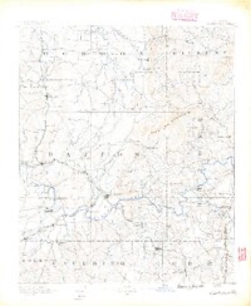
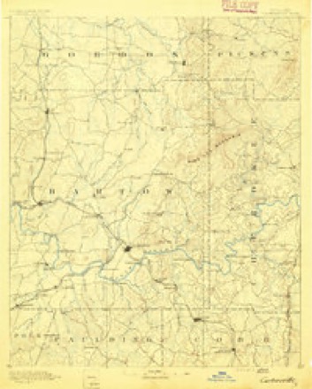
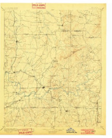
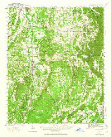
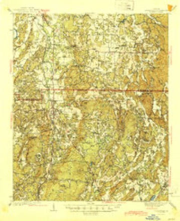
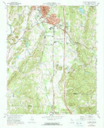
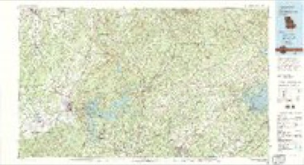
19 topographic sheets cover this place, the earliest surveyed in 1890 and the latest in 1981. It stands in the Calhoun census division. It lies in ZIP code area 30701. The Survey maps it on the Calhoun South quadrangle.
Topographic sheets covering this place
11 surveys from 19 printed sheetsMatched by testing this settlement's coordinate against the published boundary of every sheet in the United States Geological Survey's historical collection. Each opens the scanned sheet at the Survey.
- 1890 USGS Cartersville quadrangle1:125000
- 1891 USGS Cartersville quadrangle1:125000
- 1896 USGS Cartersville quadrangle1:125000, 4 printings
- 1941 USGS Adairsville quadrangle1:62500
- 1944 USGS Adairsville quadrangle1:62500, 2 printings
- 1955 USGS Rome quadrangle1:250000
- 1958 USGS Rome quadrangle1:250000, 3 printings
- 1961 USGS Rome quadrangle1:250000
- 1963 USGS Rome quadrangle1:250000
- 1972 USGS Calhoun South quadrangle1:24000, 2 printings
- 1981 USGS Cartersville quadrangle1:100000, 2 printings




Fires near this place
409 since 1992Regional context, not property-specific evidence. The federal wildfire occurrence database lists 409 fires within 5 miles of Blackwood between 1992 and 2019, burning about 1,176 acres in total. 5 started naturally. 111 were recorded as arson. Distance is straight-line from the map coordinates, so a fire counted here may appear on a neighbouring settlement's page as well.
| Reported cause | Fires |
|---|---|
| Debris and open burning | 169 |
| Arson/incendiarism | 111 |
| Equipment and vehicle use | 65 |
| Misuse of fire by a minor | 18 |
| Missing data/not specified/undetermined | 14 |
| Smoking | 14 |
| Recreation and ceremony | 11 |
| Natural | 5 |
| Railroad operations and maintenance | 2 |
The most recent of them, most recent first, with the day each was reported and the service that recorded it.
| Date | Cause | Size | Reported by | Name on the report |
|---|---|---|---|---|
| 9 September 1998 | Debris and open burning | under an acre | Georgia Forestry Commission | not named |
| 8 September 1993 | Debris and open burning | 1.3 acres | Georgia Forestry Commission | not named |
| 7 September 1998 | Equipment and vehicle use | under an acre | Georgia Forestry Commission | not named |
| 6 September 2002 | Arson/incendiarism | under an acre | Georgia Forestry Commission | FY2003-GORDON-007 |
| 5 September 1998 | Debris and open burning | 1.0 acres | Georgia Forestry Commission | not named |
| 5 September 1998 | Debris and open burning | under an acre | Georgia Forestry Commission | not named |
| 4 September 1997 | Arson/incendiarism | under an acre | Georgia Forestry Commission | not named |
| 30 September 1992 | Arson/incendiarism | under an acre | Georgia Forestry Commission | not named |
Settlements close enough to share some of these fires:
Mines and quarries near this place
2 within 5 milesRegional context, not property-specific evidence. The federal mineral resources record lists 2 workings within 5 miles of Blackwood: 1 past producer, 1 occurrence. None of them still produces. What was taken out: Stone, Crushed/Broken, Iron. Distance is straight-line from the map coordinates, so a quarry counted here may appear on a neighbouring settlement's page as well.
| Where | Site | Commodity | Status | Recorded |
|---|---|---|---|---|
| Painter Quarry | Stone, Crushed/Broken | Past Producer | ||
| R T Dempsey Prospect | Iron | Occurrence |
Storms near this place
8 since 2013Regional context, not property-specific evidence. The National Weather Service names Blackwood in 8 storm reports between 2013 and 2025: 3 tornado, 3 hail, 2 flash flood. The reports record 8 injuries. Each account below is quoted exactly as the forecast office filed it, from the NOAA Storm Events Database, and each date opens the federal record of that event.
| When | Event | Place named | Harm | What the report says |
|---|---|---|---|---|
| January 2013 | Tornado (EF3) | Blackwood | 8 hurt, $15,000,000 | The tornado that first touched down in Bartow County continued into Gordon County. Numerous trees and power lines were downed from Redbud to Highway 53 and seven poultry homes were destroyed. In all, 268 homes were impacted: 30 were completely destroyed, 110 had major damage, and another 70 had minor damage. Of these, 202 were single family homes and 66 were mobile homes. Eight injuries were also reported which all occurred in one home. Some of the EF-3 damage in Gordon County occurred literally only blocks away from EF-3 damage that occurred on December 22, 2011.|[01/30/13: Tornado #1, County #2-2, EF3, Bartow-Gordon, 2013:001]. |
| March 2017 | Hail | Blackwood | $410,000 | Golf ball size hail was reported at the Sunoco gas station on Belwood Road. |
| January 2017 | Flash Flood | Blackwood | $15,000 | Emergency Management reported water over the roadway at Langford Road. Additionally, a mudslide resulting from the heavy rainfall occurred at Union Grove Church Road. Numerous other roads experienced ponding of water due to poor drainage. |
| May 2025 | Tornado (EF0) | Blackwood | - | An EF0 tornado touched down late Tuesday evening at 1142 PM EDT|in Gordon County to the southeast of Calhoun Along Plainview Road|SE where several large trees where uprooted including one onto a|home. The tornado continued to the Northeast crossing Blalock Rd|remaining south of Erwin Hill Road before crossing Shope Lake|Road and Cornelison Road where several trees were snapped and|uprooted. Further to the east along Cornelison Road, roofing|from a section of a chicken house was torn off. The tornado|continued northeast and impacting a neighborhood along Windy|Hills Lane and Windy Hill Dr where numerous trees were snapped or|uprooted, including several onto homes. A roof and siding was|removed from a manufactured home, a pontoon boat was flipped, and|2 small sheds were destroyed. The tornado crossed Folsom Road|SE and and lifted before reaching Yarborough Mill Road. It|should be noted that the Hytop radar was down during this time|and the Peachtree City radar had the best view of the storm. |Radar data suggests the presence of a larger mesocyclone with|storm which originated as a supercell storm in AL evolving into a|hybrid supercell/QLCS storm into GA. This particular tornado|appears to be 1 of 2 which likely occurred in this area as part|of this larger mesocyclone and can be discerned in both the data|on the ground and from the KFFC radar. This tornado was best|aligned with the strongest portion of the mesocyclone. |
| May 2025 | Tornado (EF0) | Blackwood | - | An EF0 tornado touched down late Tuesday evening at 1143 PM EDT|in Gordon County to the southeast of Calhoun near the|intersection of Hwy 53 and Foster Lusk Road. The tornado|uprooted a few small trees and continued ESE crossing|HWY53 destroying a pole barn on the south side of Hwy53 just past|Plainview Road. Debris from the barn was scattered approximately|150 yards to the east and a few trees were snapped in the area. |The tornado continued east snapping and uprooting several trees|along Erwin Road SE, including one on a home. A barn along Erwin|Road SE lost its roof and one of the walls was blown out as well.|The tornado continued ESE into a neighborhood along Rosewood Dr|where several trees where snapped and numerous branches were|scattered around. The tornado weakened as it crossed Erwin Hill|Road SE. It should be noted that the Hytop radar was down|during this time and the Peachtree City radar had the best view|of the storm. Radar data suggests the presence of a larger|mesocyclone with storm which originated as a supercell storm in|AL evolving into a hybrid supercell/QLCS storm into GA. This|particular tornado appears to be 1 of 2 which likely occurred in|this area as part of this larger mesocyclone and can be discerned|in both the data on the ground and from the KFFC radar. |
| March 2021 | Flash Flood | Blackwood | - | The department of transportation reported all lanes closed at Georgia Highway 53 and Blackwood Place due to water over the roadway. Radar estimates indicate that rainfall amounts of 4 to 6 inches occurred over the area, resulting in the flash flooding. |
| August 2019 | Hail | Blackwood | - | The Gordon County Emergency Manager reported quarter size hail at the Emergency Management office. |
| March 2017 | Hail | Blackwood | - | The Gordon County Emergency Manager reported ping pong ball size hail at the Gordon County Emergency Management Building. |
Nearest settlements
The eight closest, with where each one stands in the county. Distances are straight-line, computed from the Geographic Names Information System coordinates.
| Map | Place | Distance | Sheets |
|---|---|---|---|
| McDaniels | 2.3 miles | 19 | |
| Lily Pond | 3.0 miles | 19 | |
| Farmville | 3.1 miles | 19 | |
| Calhoun | 4.1 miles | 19 | |
| Big Spring (historical) | 4.1 miles | 19 | |
| Echota | 4.9 miles | 19 | |
| Crane Eater | 5.0 miles | 18 | |
| Sonoraville | 5.0 miles | 19 |
Elsewhere
Matched on this settlement's Geographic Names Information System number rather than its name, so it cannot be a different place of the same name in another state.
| Wikipedia article on Blackwood | An encyclopaedic summary. Its text is share-alike, so it is linked here rather than copied. |
| Wikidata item Q19867433 | The structured record the population and elevation above come from. Public domain (CC0). |
Provenance
This settlement is recorded in the Geographic Names Information System as feature 354762. The sheet list is computed by point-in-boundary test against the United States Geological Survey's historical topographic inventory. Both are works of the United States government and carry no copyright under 17 U.S.C. 105.
Wildfire. Short, Karen C. 2022. Spatial wildfire occurrence data for the United States, 1992-2020 [FPA_FOD_20221014]. 6th Edition. Fort Collins, CO: Forest Service Research Data Archive. https://doi.org/10.2737/RDS-2013-0009.6 Collected with United States Government funding and usable without additional permissions or fees.
Mines and quarries. USGS Mineral Resources Data System (MRDS) https://mrdata.usgs.gov/mrds/ A work of the United States government, no copyright under 17 U.S.C. 105.
Storms. NOAA National Centers for Environmental Information, Storm Events Database https://www.ncei.noaa.gov/stormevents/ A work of the United States government, no copyright under 17 U.S.C. 105. Narratives are quoted verbatim from the National Weather Service report and are not edited or summarised.