Block
From the record
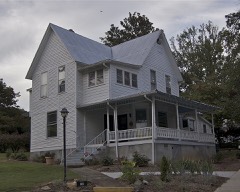
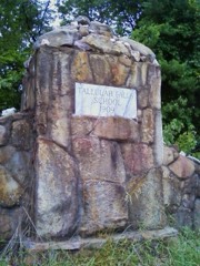
37 National Register listings published here.
Sources: the National Register database, National Park Service
61 topographic sheets and 2 fire insurance atlases across 1 place.
37 National Register listings published here.
Sources: the National Register database, National Park Service
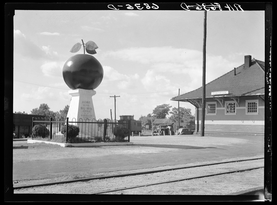
Taken for the Office of War Information and the Farm Security Administration, who photographed the country between 1935 and 1944. Works of United States government photographers, with no known restriction on use. Each opens its catalogue record.
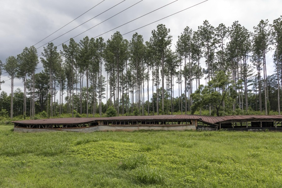
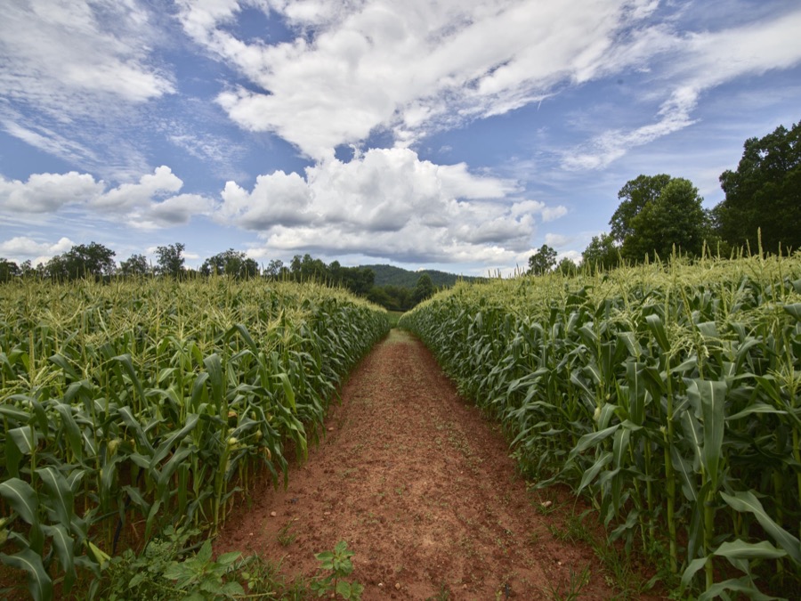
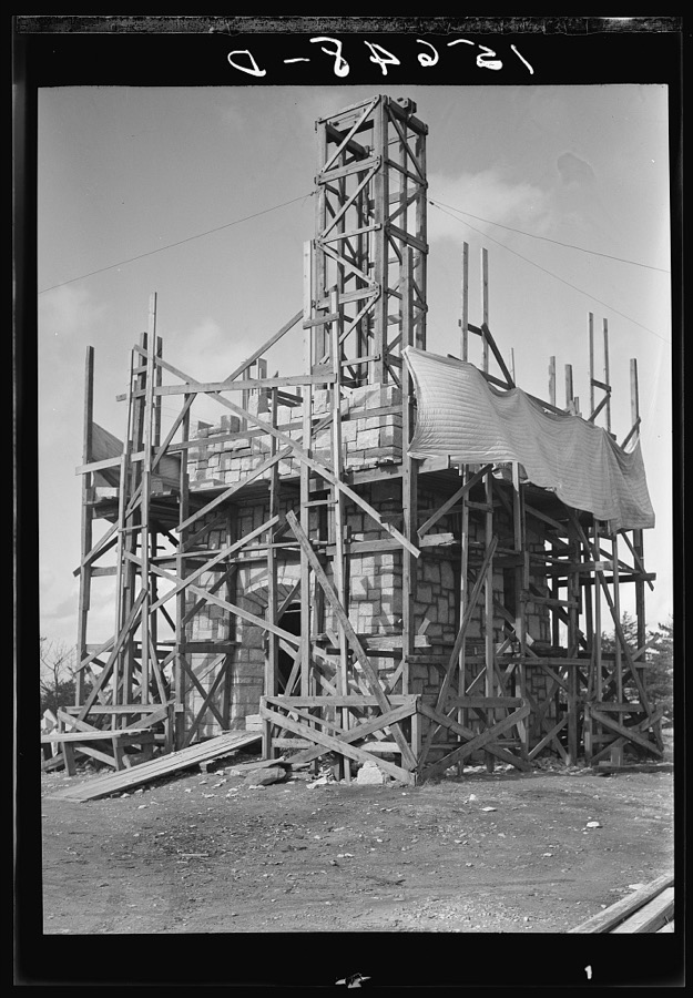
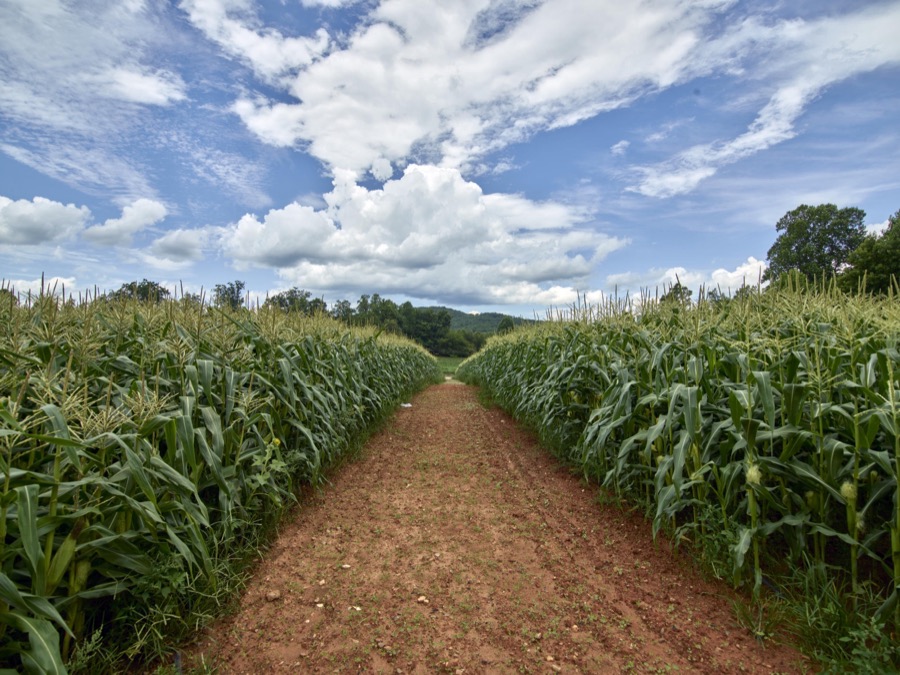
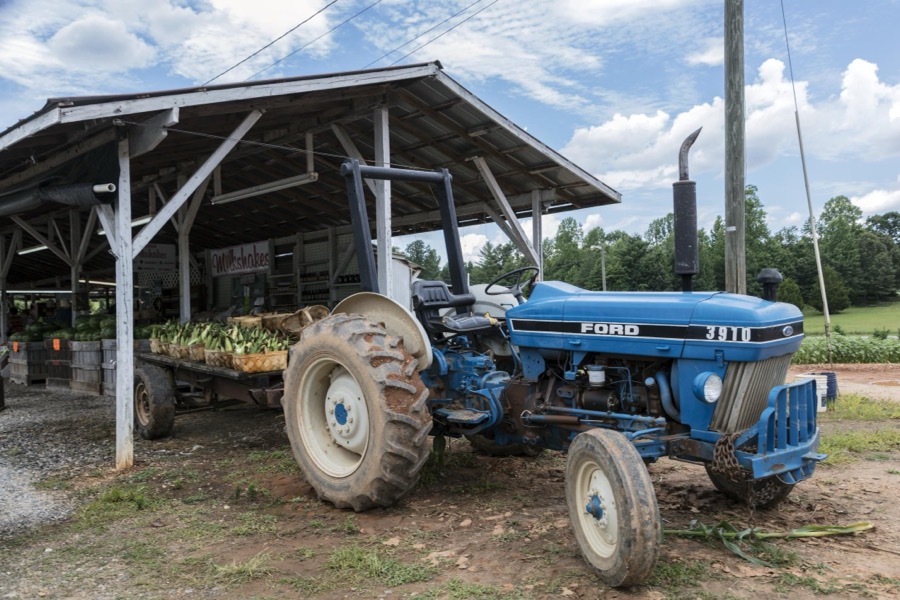
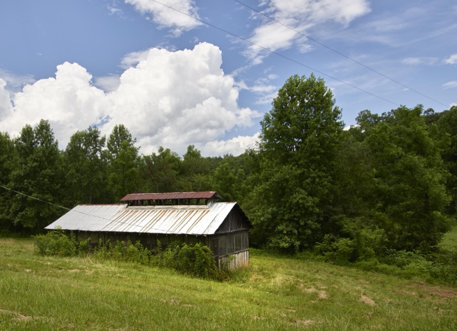
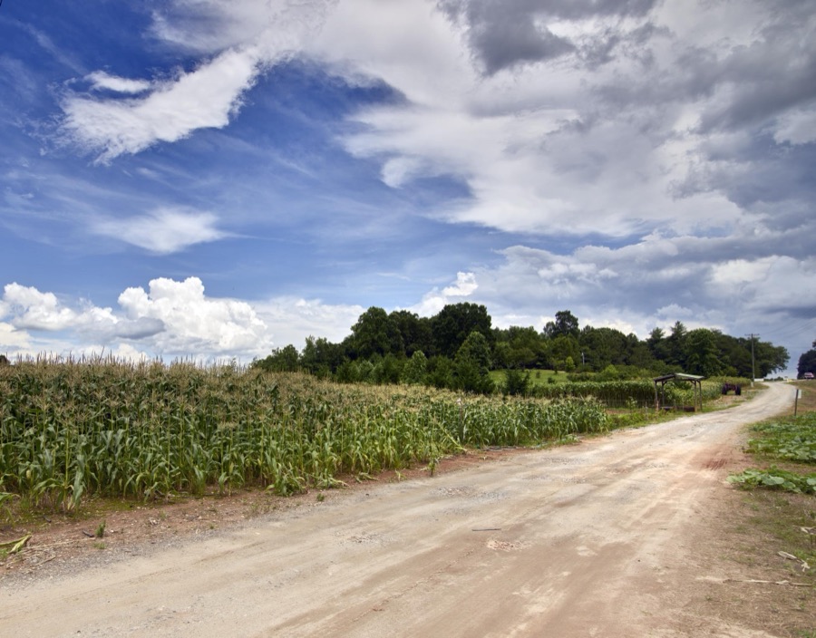

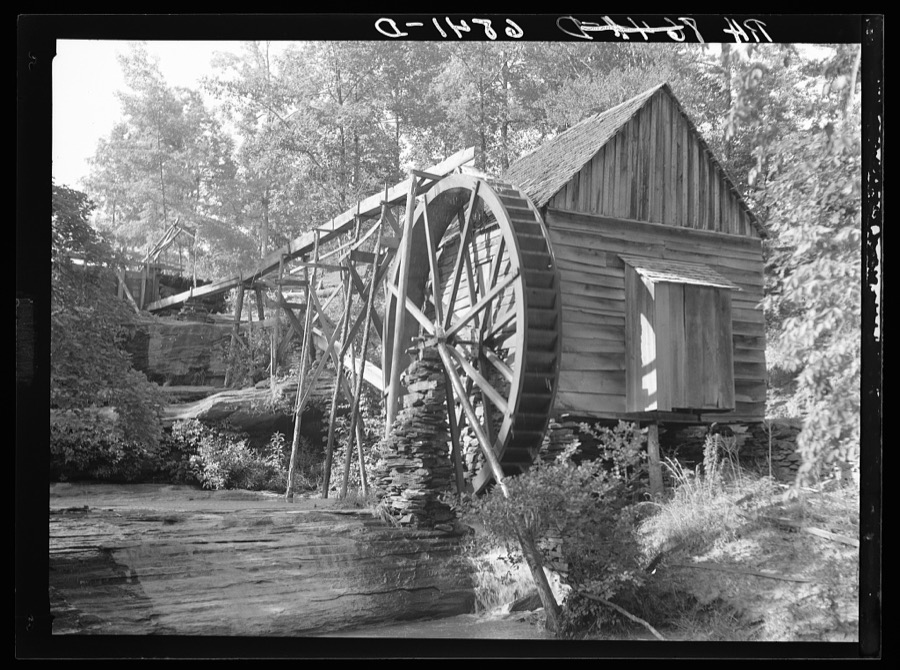
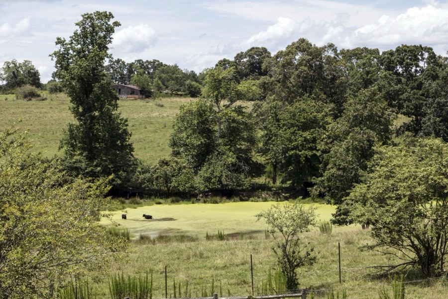
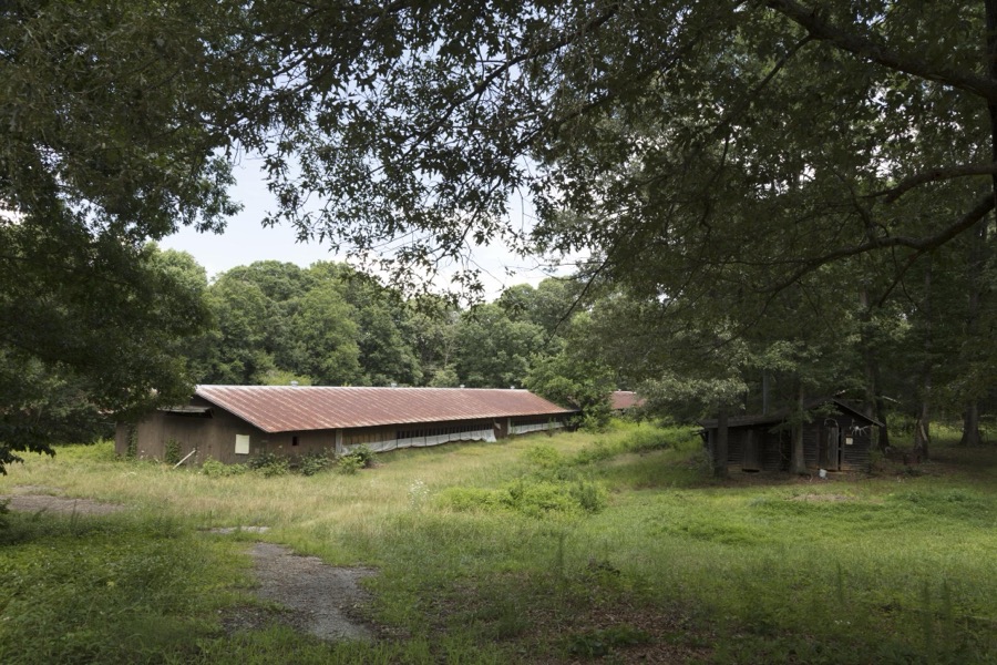
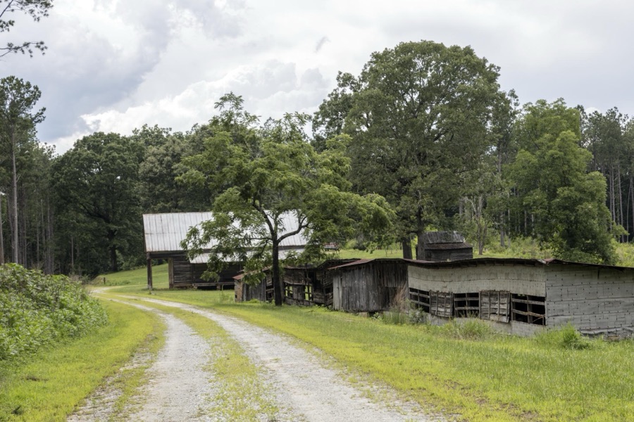
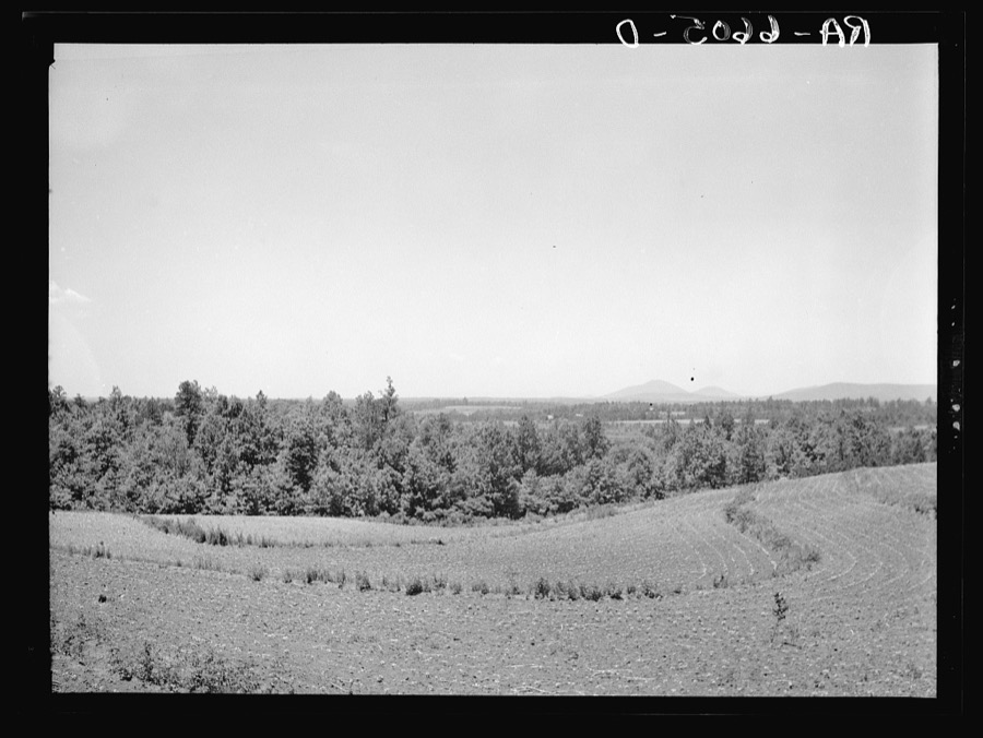
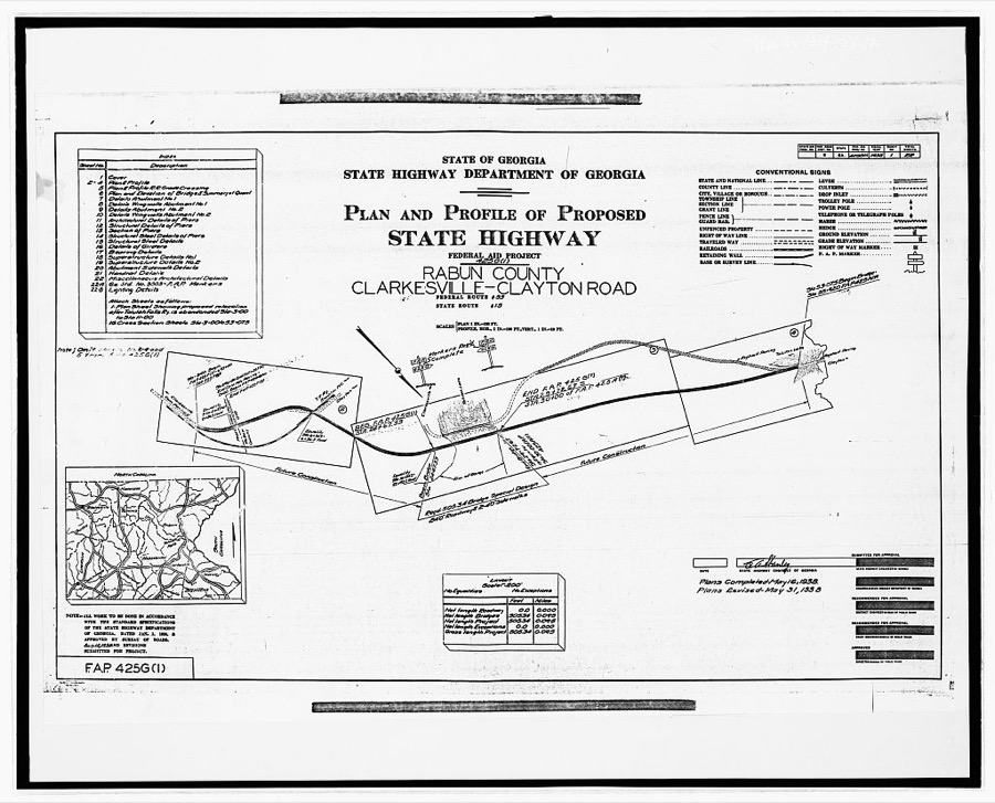
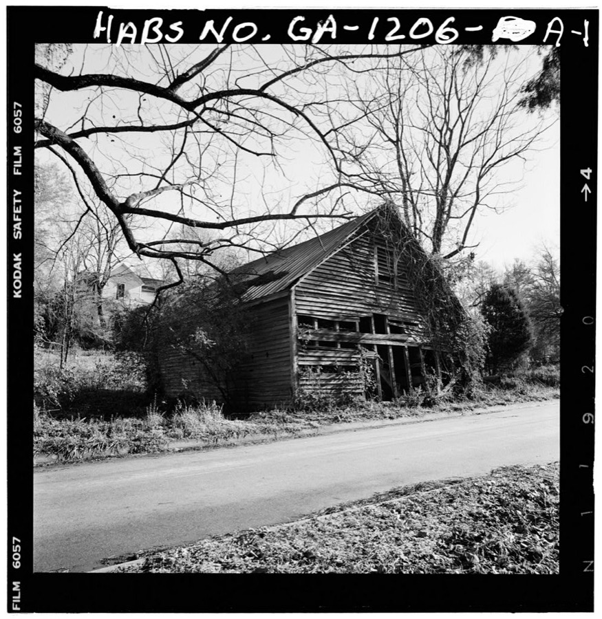
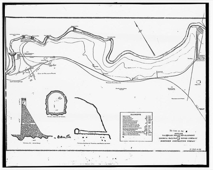
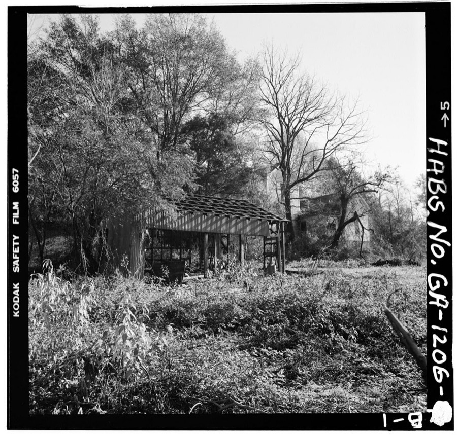
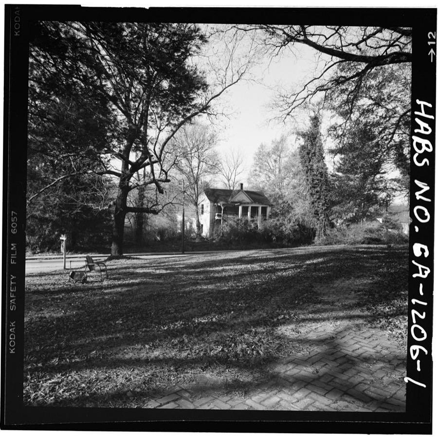
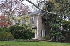
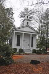
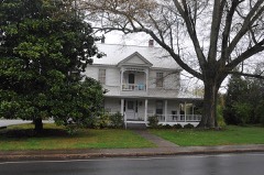
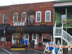
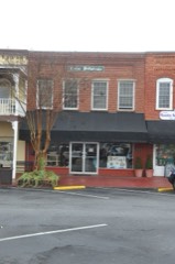
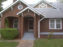
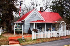
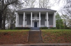
Every property in this county listed on the National Register of Historic Places, with the year it was listed and the federal nomination document.
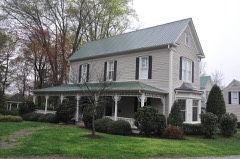
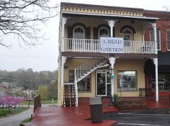
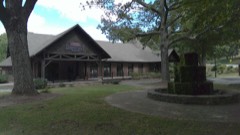
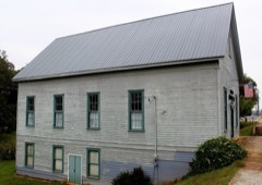
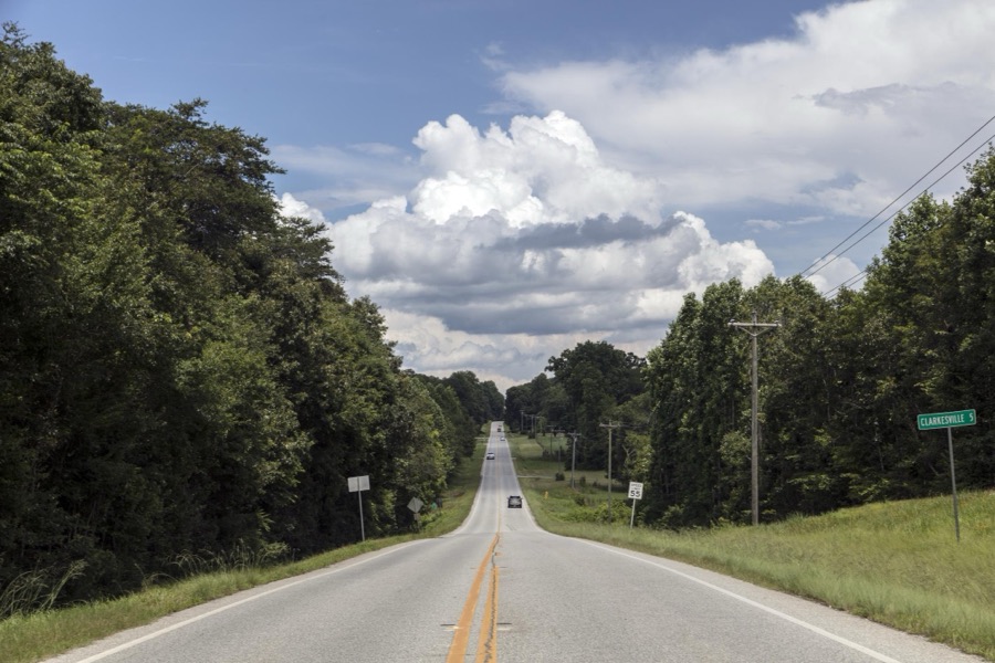
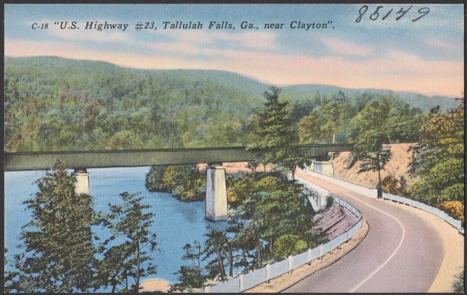
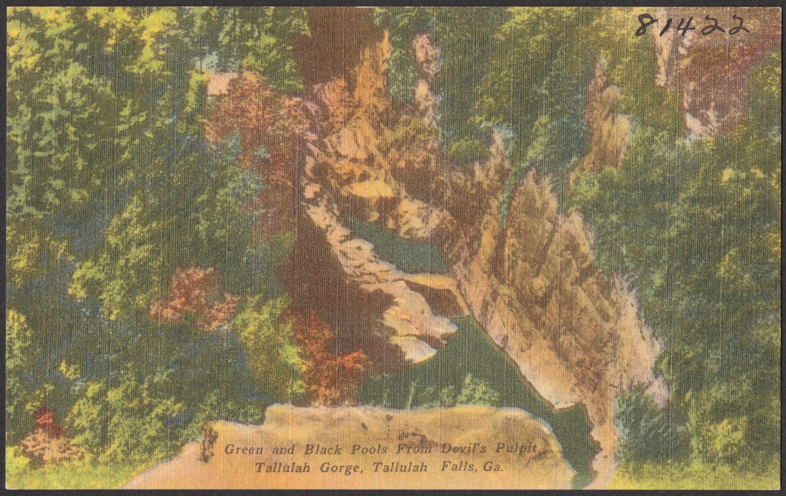
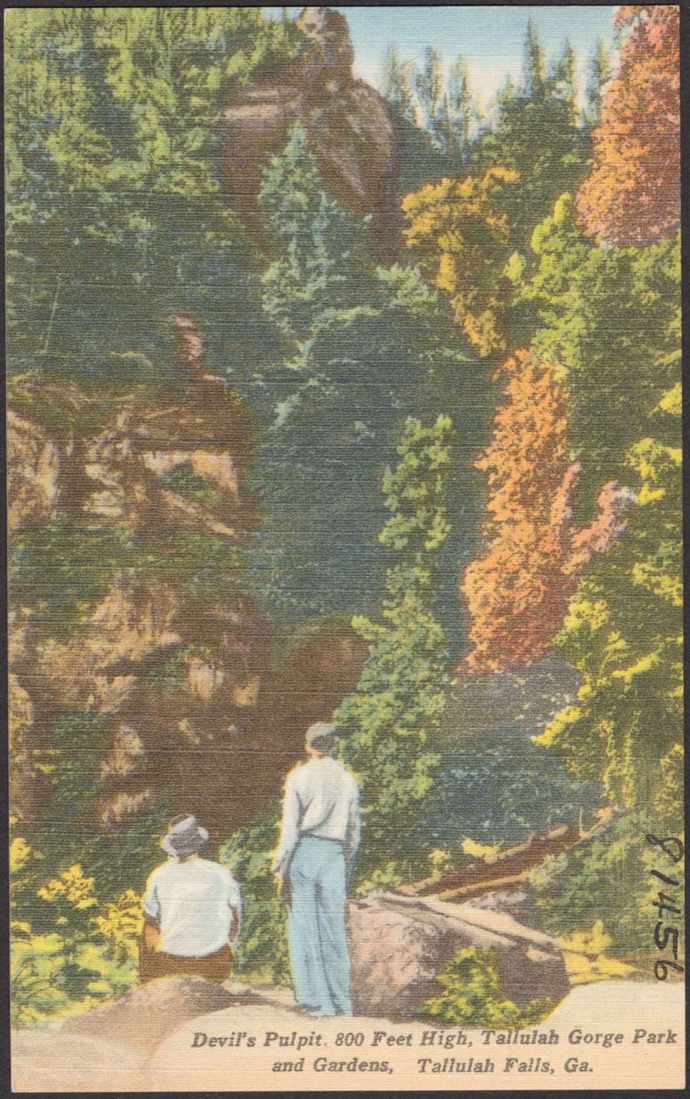
Selected from the Digital Public Library of America's 4 image records catalogued for this county. Every one shown here carries a public-domain status or a licence that permits reuse on a site that carries advertising; non-commercial, share-alike and restricted images are excluded. The selection is spread across the county's towns (at most eight per town), so no single institution's bulk upload crowds out the rest. Each opens the holding library's record, and the complete set at the Digital Public Library of America is one click away.
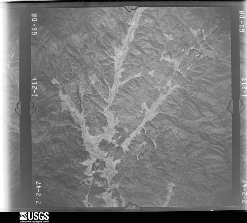
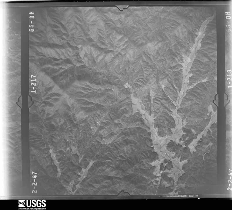
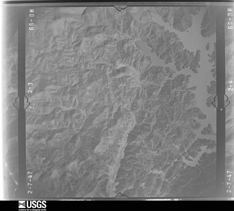
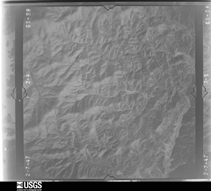
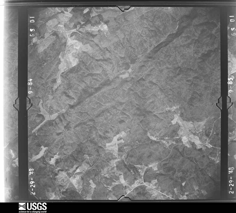
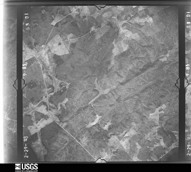
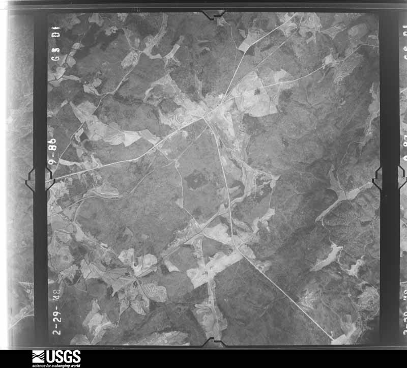
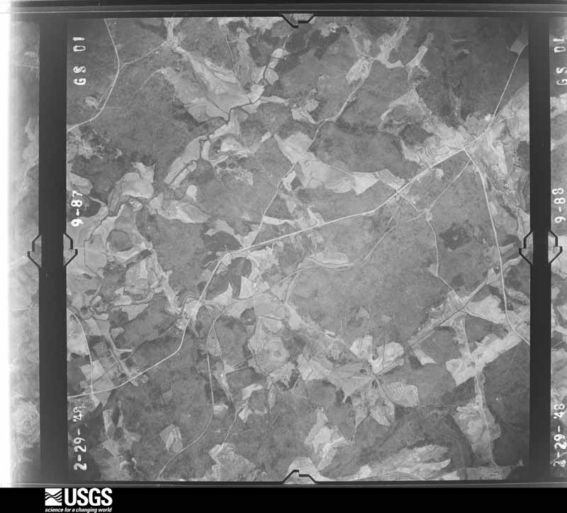
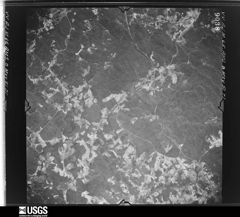
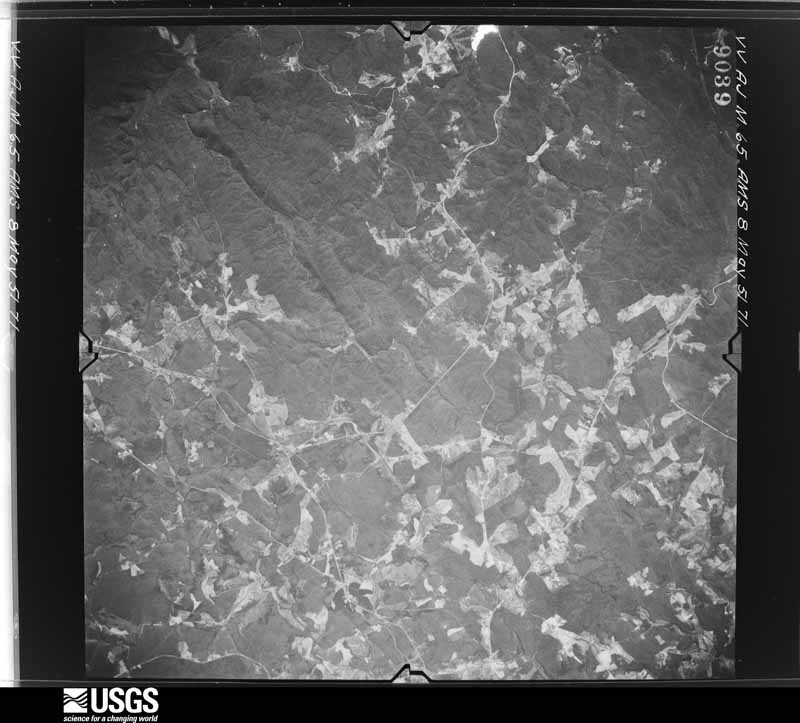
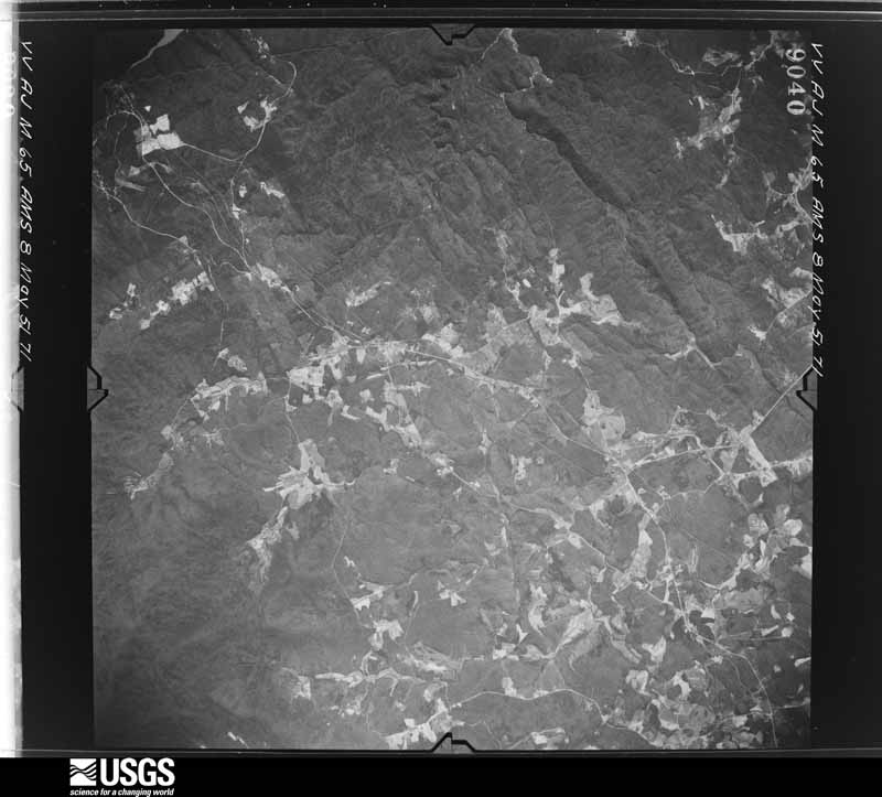
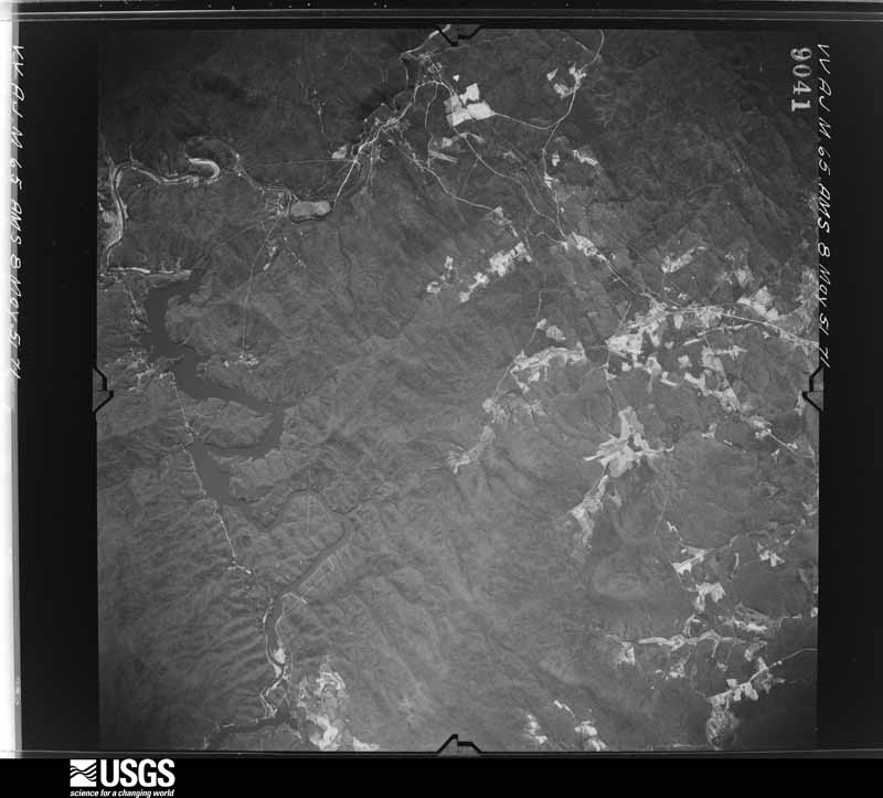
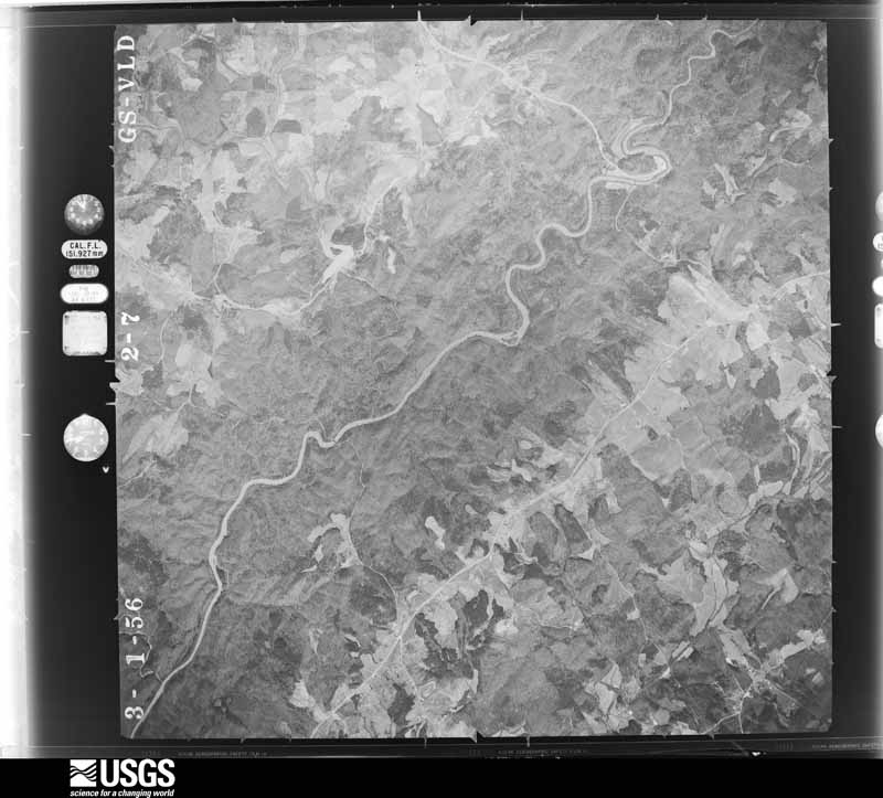
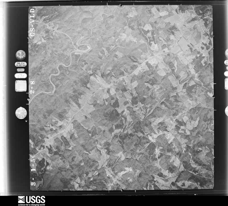
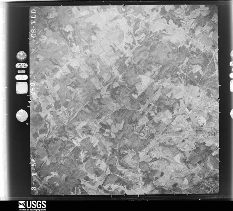
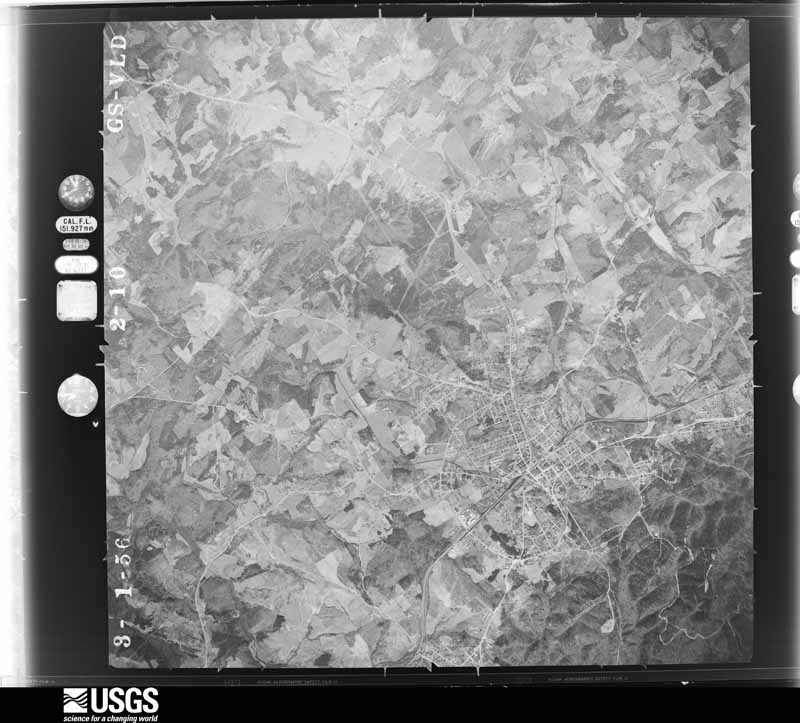
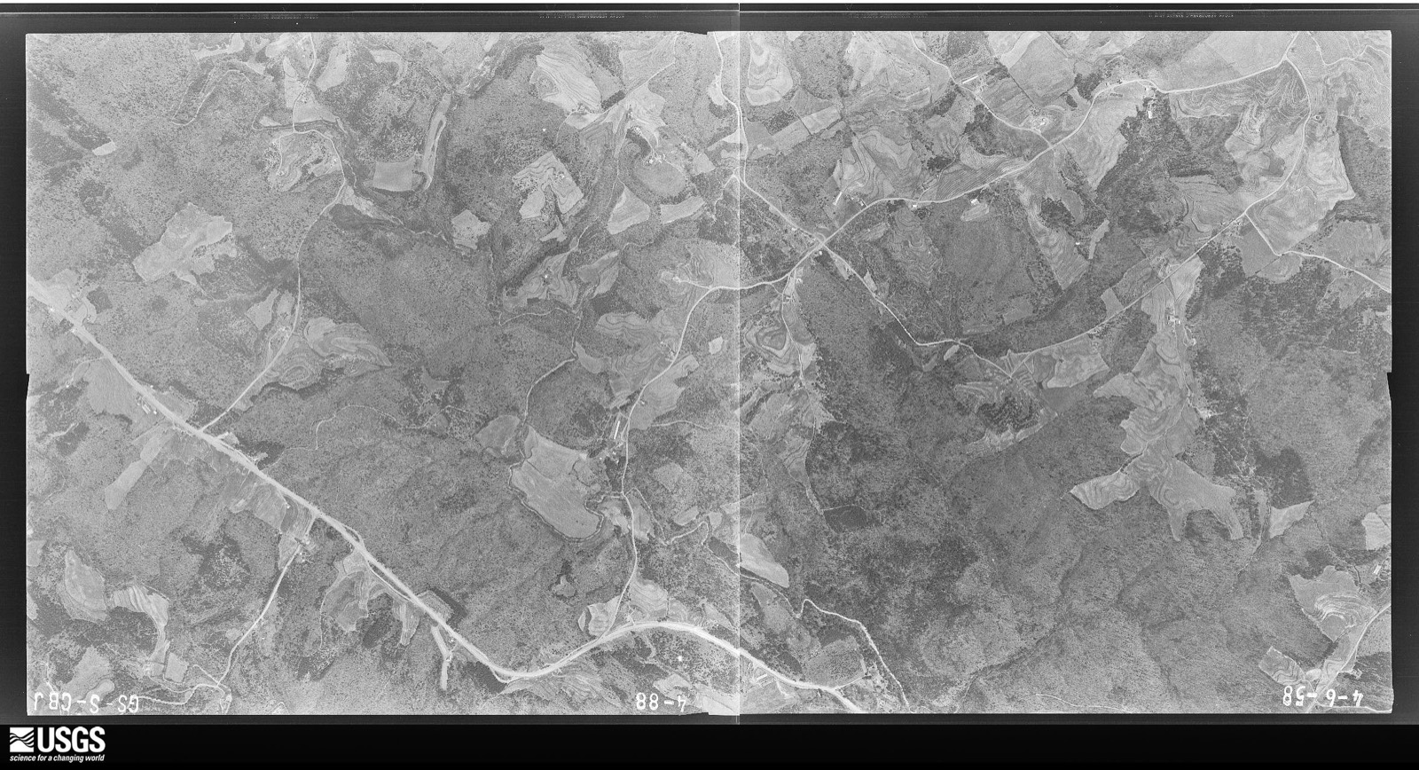
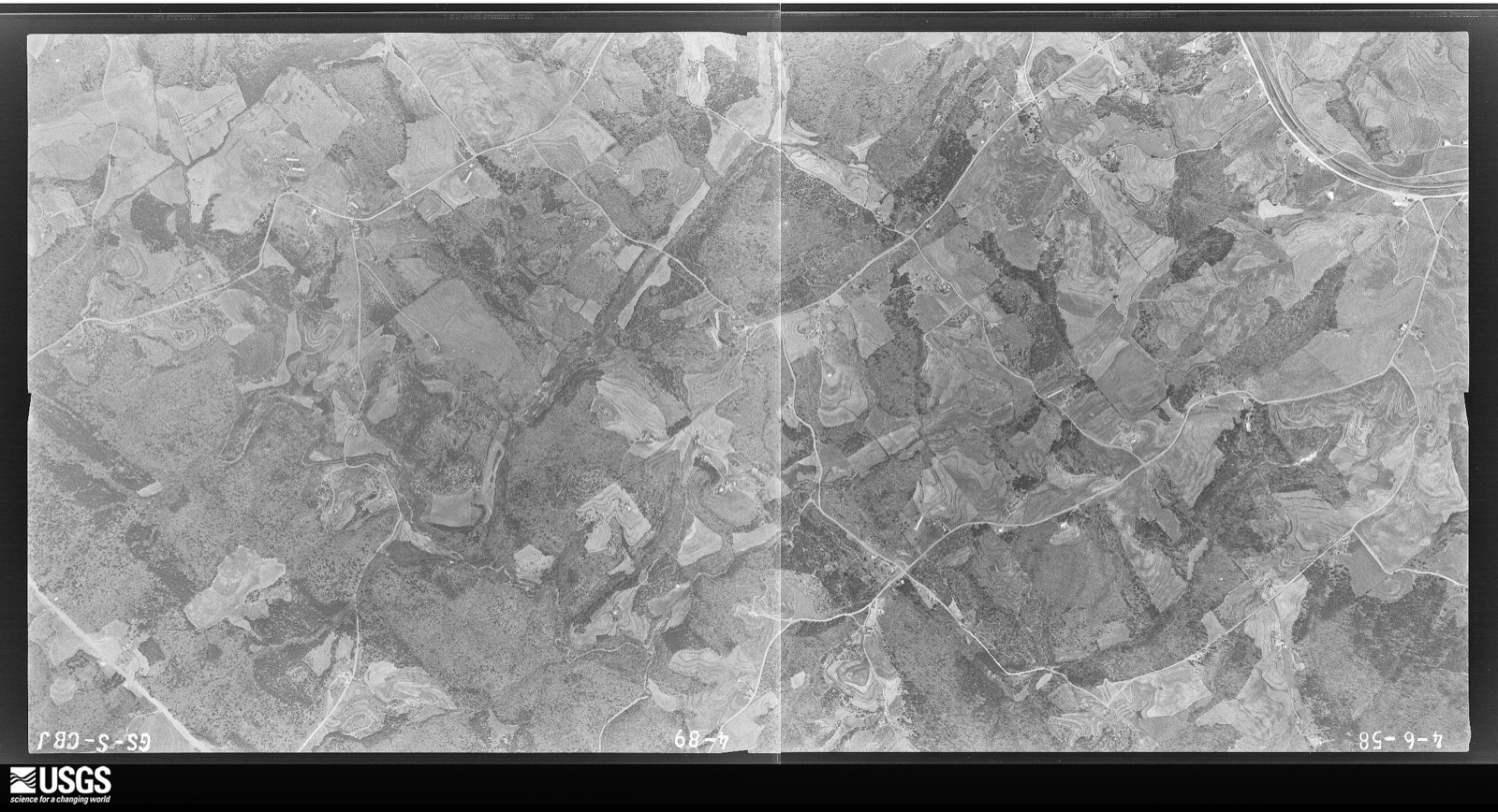
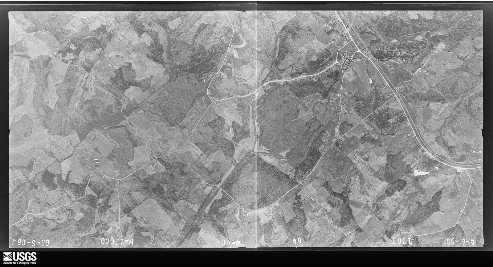
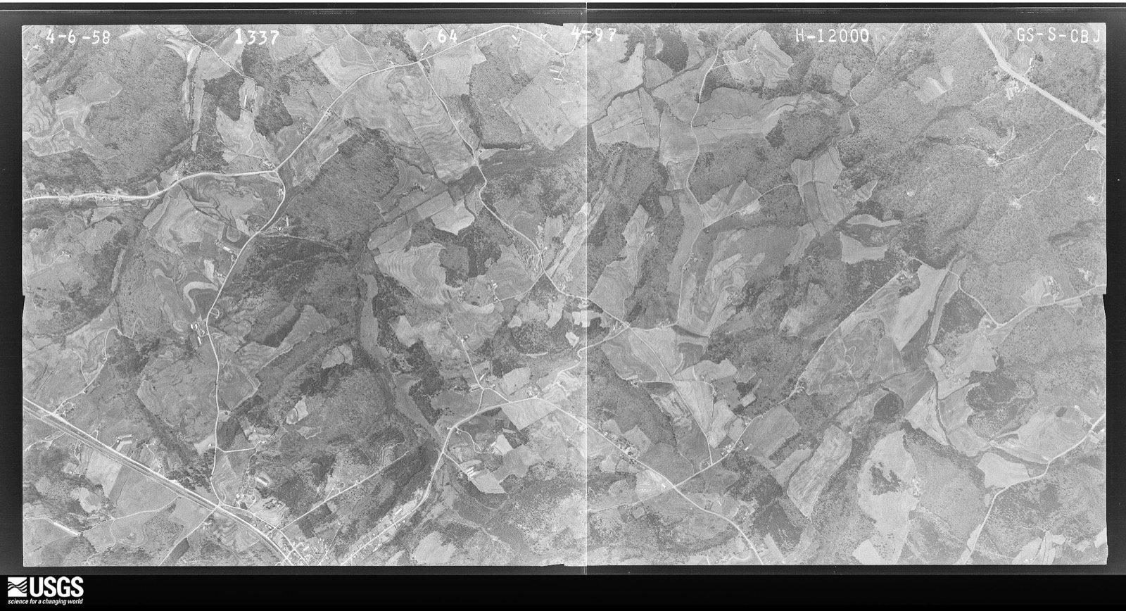
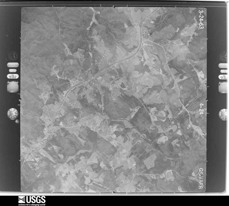
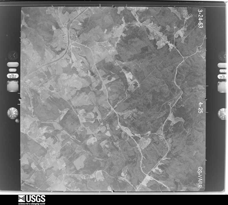
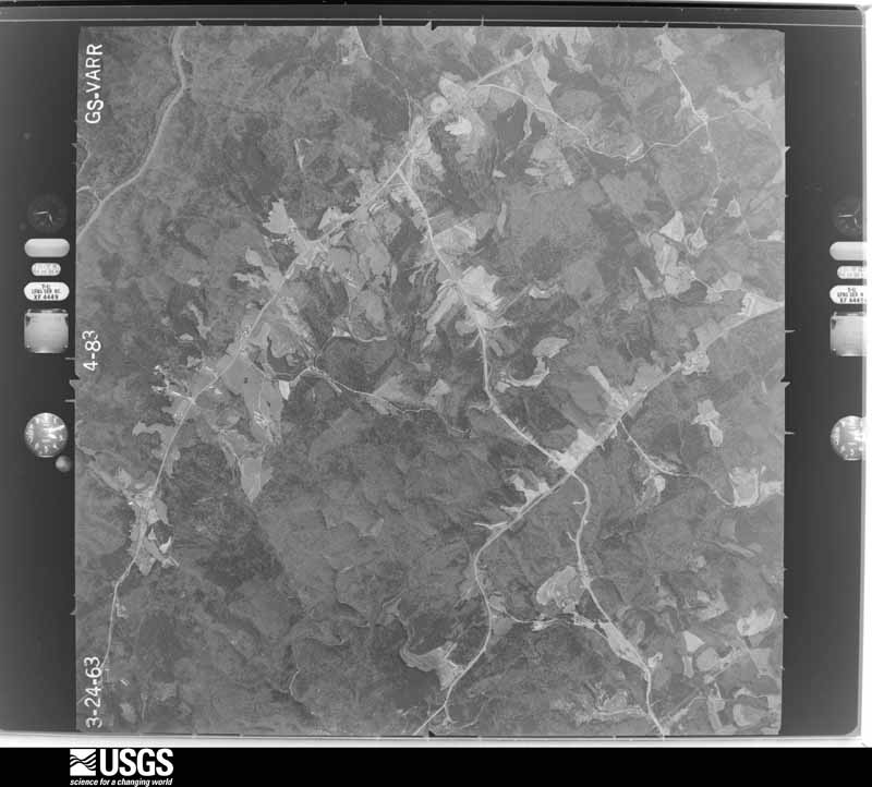
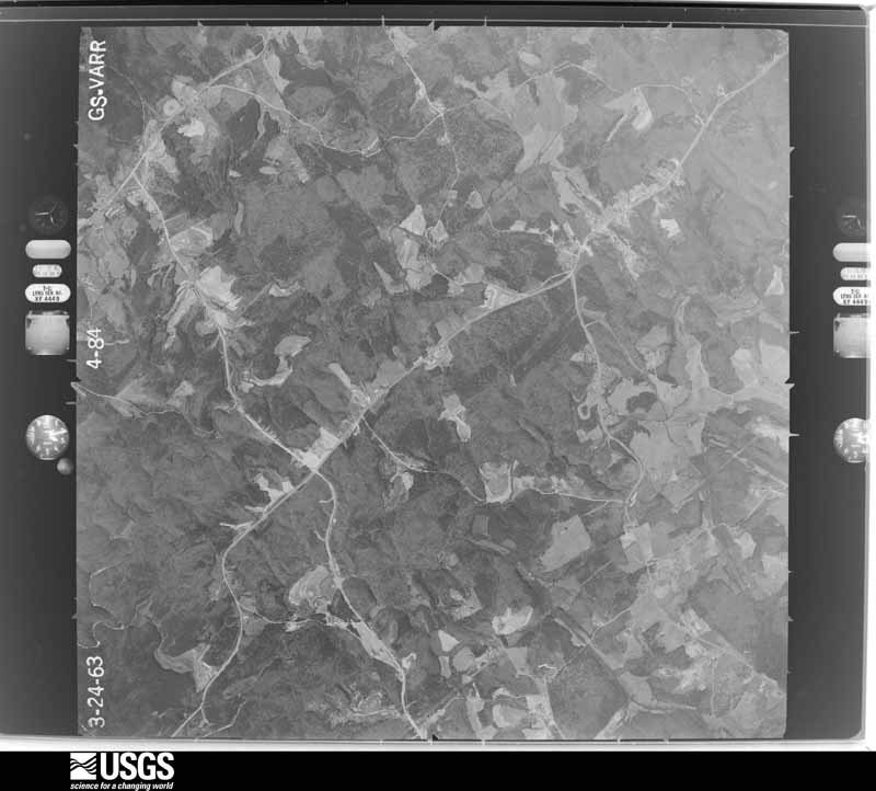
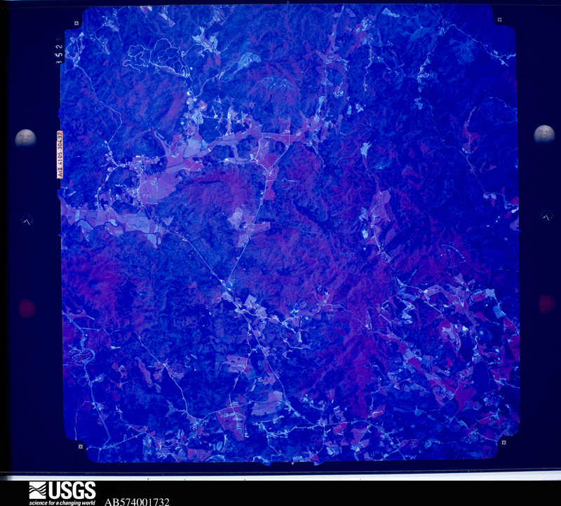
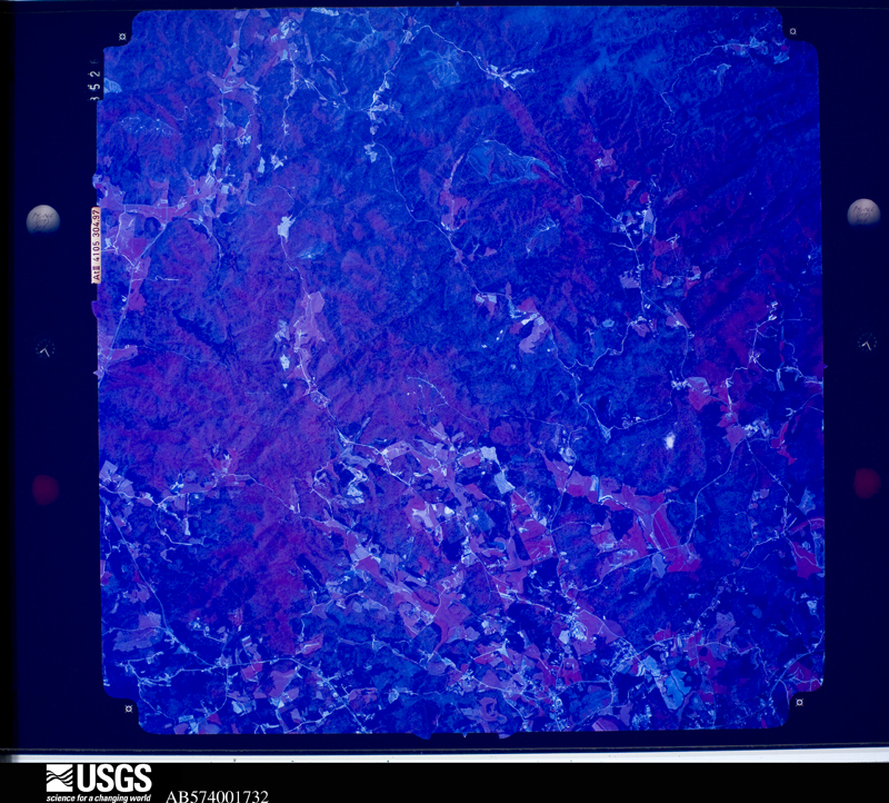
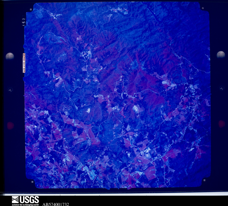
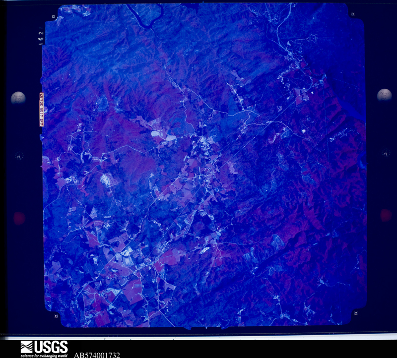
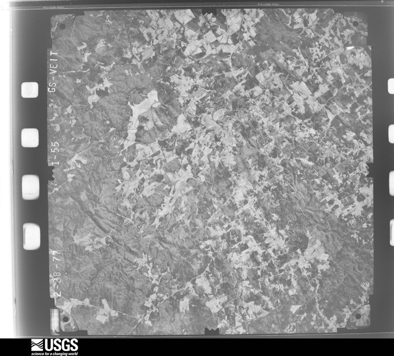
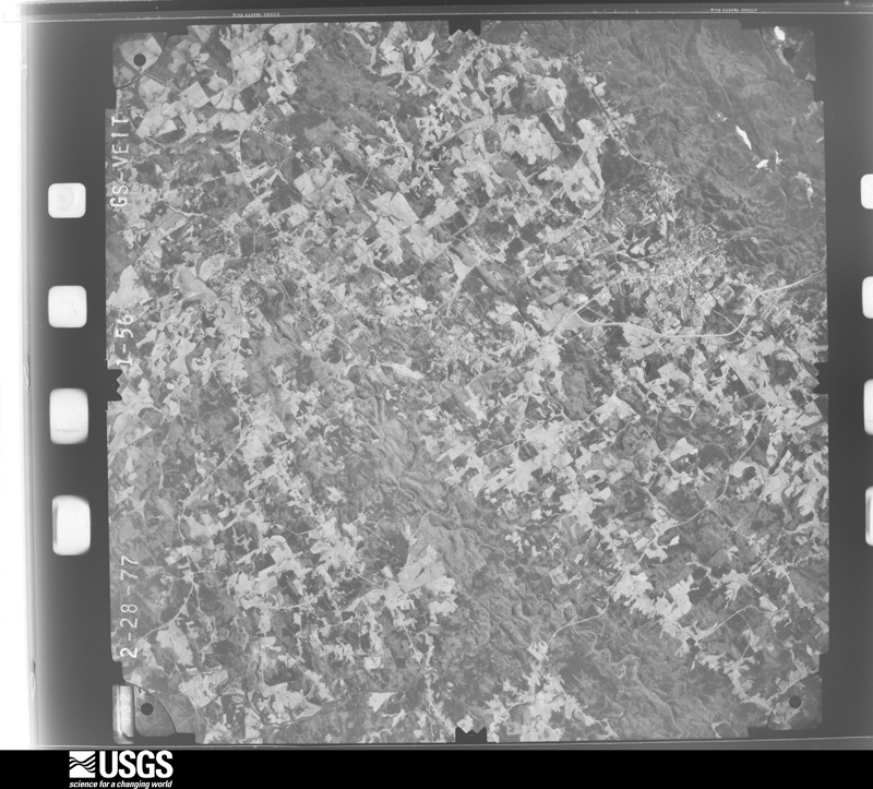
Flown by the U.S. Geological Survey between 1937 and 1989, the Aerial Photo Single Frames collection is the definitive mid-century view of the land: fields, roads and rivers as the camera saw them. The Survey holds 554 frames inside the rectangle that bounds this county; the 35 frames below were taken over the county itself, chosen across the decades of flights (at most four a year from that rectangle), so one flight cannot crowd out the rest. The full set is free to browse and download at EarthExplorer under the dataset Aerial Photo Single Frames.
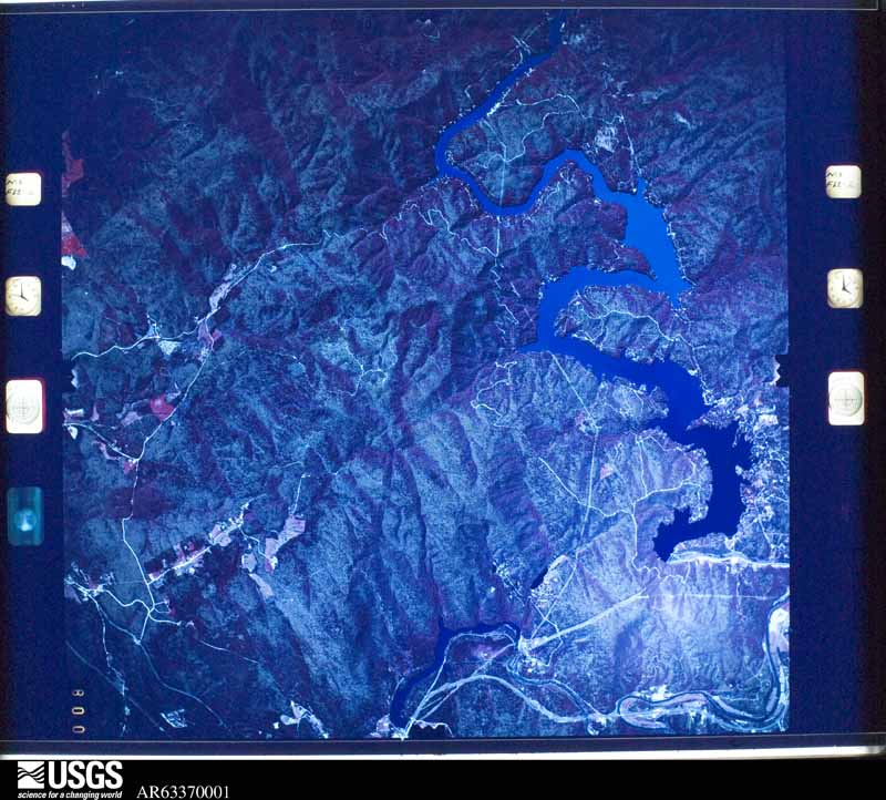

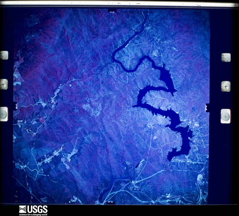
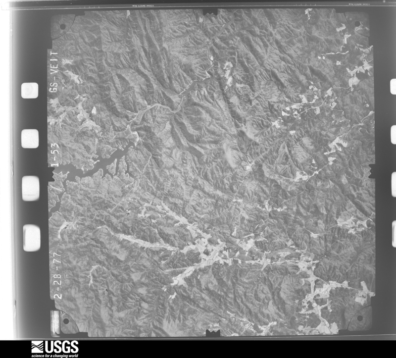
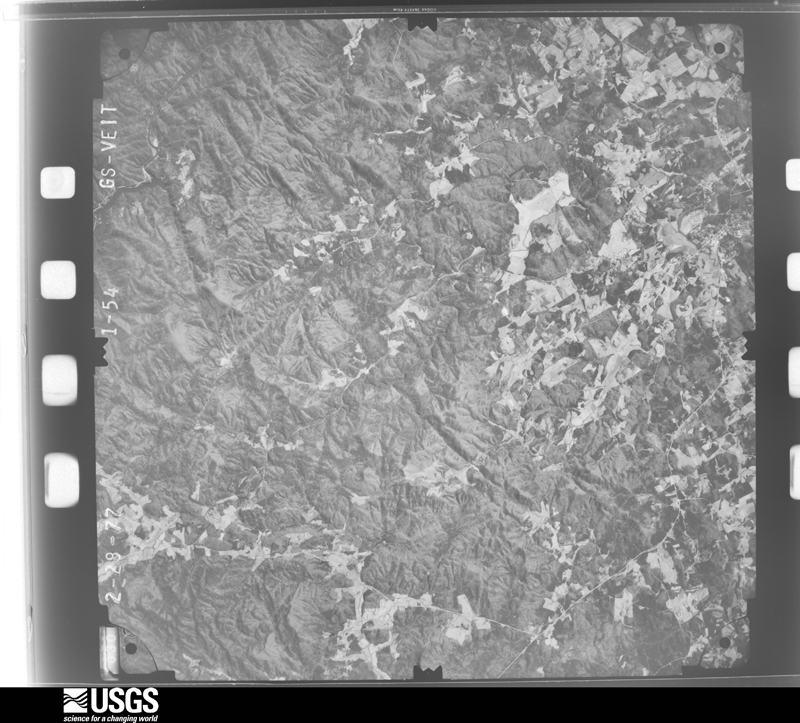
The thermometers that kept this county's weather, and the gages that measured the flow of its streams, as the federal records hold them. The extremes below are measured values from those records, not estimates.
Who lived here in 1950, one enumeration district at a time, as the Census Bureau described each district. Each row opens its official National Archives result, with Population Schedules and ED Maps available there.
Every wildfire the federal occurrence database records inside this county: 701 of them, burning about 2,188 acres. 26 started naturally and 97 were recorded as arson. Each settlement page carries the fires within five miles of it.
| Reported cause | Fires |
|---|---|
| Debris and open burning | 417 |
| Arson/incendiarism | 97 |
| Missing data/not specified/undetermined | 64 |
| Equipment and vehicle use | 37 |
| Natural | 26 |
| Railroad operations and maintenance | 17 |
| Smoking | 15 |
| Misuse of fire by a minor | 14 |
| Recreation and ceremony | 10 |
| Power generation/transmission/distribution | 3 |
| Other causes | 1 |
The five largest, by the area the report gives. Four of them were set deliberately.
| Date | Cause | Size | Reported by | Name on the report |
|---|---|---|---|---|
| 16 March 2006 | Arson/incendiarism | 170 acres | Chattahoochee-Oconee National Forest | SILK MILL FIRE |
| 5 April 2014 | Debris and open burning | 143 acres | Chattahoochee-Oconee National Forest | GOSHEN MOUNTAIN |
| 17 March 1994 | Arson/incendiarism | 111 acres | Chattahoochee-Oconee National Forest | FLAT MTN #2 |
| 18 June 2006 | Missing data/not specified/undetermined | 95 acres | Georgia Forestry Commission | not named |
| 31 January 1993 | Arson/incendiarism | 90 acres | Georgia Forestry Commission | not named |
| 31 January 1993 | Arson/incendiarism | 80 acres | Chattahoochee-Oconee National Forest | not named |
| 13 February 2011 | Missing data/not specified/undetermined | 76 acres | Chattahoochee-Oconee National Forest | HONEY STAND |
| 27 November 1998 | Debris and open burning | 49 acres | Georgia Forestry Commission | not named |
Every settlement page carries the fires within five miles of it - see the settlement index below.
The NOAA Storm Events Database holds 271 reports for this county, causing no deaths, 20 injuries and about $13,087,600 in recorded property damage. Each settlement page carries the reports that name it.
| Kind of event | Reports |
|---|---|
| Thunderstorm Wind | 125 |
| Hail | 88 |
| Flash Flood | 22 |
| Tornado | 17 |
| Flood | 13 |
| Lightning | 4 |
| Funnel Cloud | 1 |
| Heavy Rain | 1 |
The most serious of them, by death, then injury, then recorded damage. The accounts are quoted exactly as the forecast office filed them.
| When | Event | Place named | Harm | What the report says |
|---|---|---|---|---|
| October 1983 | Tornado (F1) | not stated | 6 hurt, $250,000 | no account filed |
| April 1989 | Tornado (F2) | not stated | 3 hurt, $2,500,000 | no account filed |
| November 1989 | Tornado (F3) | not stated | 3 hurt, $2,500,000 | no account filed |
| February 1993 | Thunderstorm Wind | Habersham | 3 hurt | Windows were blown out of a mobile home in Habersham. |
| June 1994 | Tornado (F1) | Clarksville to 4W Toc | 2 hurt, $5,000,000 | A tornado touched down near Demorest along Georgia Highway 365, moved east and produced damage in the communities of Hazel Creek and Camp Creek. The tornado lifted and occasionally touched down along a heavily forested area along Georgia Highway 13. The tornado crossed the Habersham/Stephens county border near Georgia Highway 365 and skipped east through a heavy forested area. The tornado continued east and touched down along Georgia Highway 17, 1.5 miles north of Toccoa where major damage occurred to homes and a few businesses. The tornado lifted several times on its eastward trek across mostly rural forest- land in northern Stephens county before dissipating north of U.S. Highway 123 near the South Carolina/Georgia border. In Habersham county, 24 homes and two businesses received minor to major damage. Numerous trees and power lines were also downed by tornadic winds. Habersham Emergency Management officials assessed storm damage to property at 155,000 dollars. In Stephens county, about 65 homes received major damage from trees downed by tornadic winds, another 22 received minor damage while 18 vehicles were either damaged or destroyed. Numerous trees were snapped off at about 20 feet from the base. Several roads, especially Georgia Highway 17 north of Toccoa, were blocked by tornado downed trees. Property damage was estimated at 350,000 dollars. Numerous power lines were downed over the northern half of Stephens county and over 4,000 electric customers had lost power for over 2 hours. Two injuries resulted from wind blown shattered glass. |
| July 1998 | Thunderstorm Wind | Clarkesville | 2 hurt | no account filed |
| March 1979 | Tornado (F1) | not stated | 1 hurt, $250,000 | no account filed |
| August 2000 | Lightning | Clarkesville | $1,000,000 | no account filed |
| June 1994 | Tornado (F1) | Cornelia | $500,000 | A tornado touched down and destroyed one brick home, three mobile homes, one business and moderately damaged three additional homes. The three homes moderately damaged suffered primarily roof and glass damage. Also, several trees were snapped midway from the crown and numerous power lines were downed from the tornadic winds. |
| May 1976 | Tornado (F2) | not stated | $250,000 | no account filed |
| October 2020 | Flash Flood | Clarkesville | $200,000 | Stream gauges and emergency manager reported flash flooding developed along the Soque and Chattahoochee River basins after 6 to 7 inches of rain fell in around 24 hours. Multiple roads along the Soque and its tributaries were heavily inundated or washed out, especially close to the White County line. These included Duncan Bridge Rd, Paradise Park Rd, Cross Creek Trail, Soque Trail, and Falling Water Dr. Additionally, a home was inundated on River Way, where the occupants required rescue. |
| July 2008 | Lightning | Demorest | $100,000 | Lightning ignited a house fire, causing extensive damage. |
| July 2005 | Thunderstorm Wind | Cornelia | $100,000 | Damage, reported as moderate to major, to 8 buildings, mainly around the Lakeview Heights section between Cornelia and Mt Airy. Numerous trees were either uprooted or had their tops blown out. Several trees fell on homes and power lines. |
| February 1997 | Tornado (F1) | Cornelia | $100,000 | no account filed |
| August 2005 | Thunderstorm Wind | Clarkesville | $50,000 | Numerous trees down, possibly hundreds, from just west of Clarkesville to the Mud Creek area. Several trees fell on homes. |
| April 1989 | Tornado (F1) | not stated | $25,000 | no account filed |
| August 1983 | Tornado (F1) | not stated | $25,000 | no account filed |
| July 1983 | Tornado (F0) | not stated | $25,000 | no account filed |
| September 1979 | Tornado (F0) | not stated | $25,000 | no account filed |
| April 2020 | Tornado (EF1) | Raoul | $20,000 | NWS storm survey found that a tornado moved into Habersham County from Hall County along Herring Mill Rd and moved east/northeast across extreme southern Habersham County, passing just north of Alto before moving into the Baldwin area. Damage was largely confined to numerous snapped and uprooted trees, although a metal roof was damaged on the southwest side of Baldwin. The tornado moved into Banks County just south of Gainesville Highway. |
| February 2016 | Thunderstorm Wind | Clarkesville | $20,000 | County comms reported a tree blown down on a house on View St. |
| September 2003 | Flash Flood | East Portion | $20,000 | A strong storm system produced widespread heavy rainfall across the region, which resulted in some flash flooding across Habersham County. Ankle-deep water entered several businesses in the Baldwin and Cornelia areas. Some creeks overflowed their banks and flooded adjacent roads, including a portion of highway 105 that was washed away. Flooding developed as far north as Clarkesville. |
| December 2024 | Thunderstorm Wind | Habersham | $15,000 | Fire dept reported several trees blown down around Clarkesville and vicinity, with one tree down on the fire station. At Least one business outside of town had roof damage. |
| August 2023 | Thunderstorm Wind | Hollywood | $10,000 | County comms reported a tree blown down and blocking the road in the area around Hollywood Highway and Rock Creek Ford Rd, and multiple trees blown down near the intersection of Ayersville Rd and Winchester Hill. One tree was on a house and another across a road in the latter location. |
| October 2020 | Flood | Clarkesville | $10,000 | Although rain tapered off across Habersham County during the morning hours, flooding continued along the Soque River into the early afternoon as runoff from the 6 to 7 inches of rain that fell across the basin in around 24 hours continued to flow through the basin. Multiple roads remained inundated or damaged and closed during this time. |
| August 2015 | Thunderstorm Wind | Harvest | $10,000 | County comms reported multiple trees and power lines blown down throughout Habersham County and roof damage to a government office in Clarkesville. |
| September 2009 | Flood | Tagula Camp | $10,000 | Water from a stream flowed over Rodeo Circle. Several other roads were flooded with several feet of water off highway 17 near Clarkesville. Additionally, a stream gauge on the Soque River at highway 197 went above its established flood stage. |
| August 2005 | Flash Flood | Clarkesville | $10,000 | Numerous roads closed due to flooding along creeks and streams. Several vehicles became stalled in flood waters. Closed/flooded roads included highway 17, Chase Rd, Savanna Rd, Wilson Rd, and Airport Rd. A guardrail was washed away on Habersham Mills Rd. A spotter in Clarkesville reported 6.5 inches of rain in less than 24 hrs. |
| July 2002 | Thunderstorm Wind | Clarkesville | $10,000 | Trees were blown down and a house was damaged near the Stephens County line. |
| July 1995 | Thunderstorm Wind | Batesville | $7,000 | Thunderstorm winds in the northwest part of the county blew the roof of a barn off and caused damage to a shed. A few trees were downed on powerlines. |
| June 2025 | Thunderstorm Wind | Raoul | $5,000 | Public reported several trees blown down in Alto and vicinity, including multiple trees blown down across Highway 23. Additionally, a tree was blown down on a vehicle and several transformers were blown in Cornelia and vicinity. |
| September 2024 | Flash Flood | Clarkesville | $5,000 | A stream gauge on the Soque River in Clarkesville exceeded its established flood stage after 7 to 10 inches of rain fell throughout the basin over a couple of days. Pitts Park in Clarkesville and other low spots were inundated. |
| April 2019 | Thunderstorm Wind | Baldwin | $5,000 | NWS storm survey found an area of straight line wind damage in extreme southwest Habersham County. Numerous trees along with a couple of power poles were blown down from Heads Ferry Rd to just southwest of Duncan Bridge Rd. Some minor structural damage also occurred to a few homes. |
| July 2015 | Thunderstorm Wind | Clarkesville | $5,000 | County comms reported multiple trees blown down, with part of the roof blown off a commercial building in downtown Clarkesvile. A spotter reported additional trees blown down off Highway 197 just south of town. |
| April 1993 | Thunderstorm Wind | Clarksville | $5,000 | Thunderstorm winds blew down several large trees along United States Highway 441. |
| September 2024 | Flood | Clarkesville | $2,000 | Although heavy rain ended across Habersham County by afternoon, high water conditions continued along the Soque River into the evening hours. |
| September 2024 | Tornado (EF0) | Clarkesville | $2,000 | NWS analysis determined that a weak tornado touched down near the Annandale subdivision. A few trees were blown downed along an intermittent path and an outbuilding was destroyed at a sod farm. |
| August 2021 | Flash Flood | Raoul | $2,000 | Emergency manager reported flash flooding developed along a few smaller creeks in central and southern Habersham County after 3 to 5 inches of rain fell in around 24 hours, with much of that falling in just a few hours during the morning and early afternoon of the 17th. These included GLade Creek, which flooded W Glade Creek Rd and E Glade Creek Rd northeast of Clarkesville. Little Mud Creek also flooded Alonzo Wade Rd in Alto. |
| September 2004 | Tornado (F1) | Cornelia | $2,000 | This tornado blew down numerous trees and power lines along its 2-mile track. |
| January 2024 | Flood | Clarkesville | $1,000 | A stream gauge on the Soque River in Clarkesville exceeded its established flood stage after 3 to 5 inches of rain fell throughout the basin in 12 to 18 hours. Pitts Park in Clarkesville was inundated. |
| March 2021 | Flood | Clarkesville | $1,000 | A stream gauge on the Soque River in Clarkesville exceeded its established flood stage after 4 to 7 inches of rain fell throughout the basin, mostly in about 12 hours from the 25th into the early part of the 6th. Pitts Park in Clarkesville was flooded. |
| August 2021 | Flood | Clarkesville | $1,000 | A stream gauge on the Soque River in Clarkesville exceeded its established flood stage after 3 to 5 inches of rain fell throughout the basin, mostly in about 24 hours. Pitts Park in Clarkesville was inundated. |
| May 2004 | Hail | Hollywood | $1,000 | Large hail broke a window out of a home and chipped paint off an automobile. |
| June 2004 | Thunderstorm Wind | Mt Airy | $1,000 | Several large trees were blown down. Some power outages also occurred. |
| July 2003 | Thunderstorm Wind | Baldwin | $1,000 | Trees and power lines were blown down. |
| August 2003 | Thunderstorm Wind | Cornelia | $1,000 | Trees and power lines were blown down. |
| July 2002 | Thunderstorm Wind | Clarkesville | $1,000 | Trees and powerlines were blown down. A fence was also blown down. |
| October 2021 | Flood | Clarkesville | $500 | A gauge on the Soque River in Clarkesville exceeded its established flood stage after 3 to 4 inches fell throughout the basin in about a 24-hour period. The main impact was flooding of Pitts Park. |
| February 2020 | Flood | Clarkesville | $500 | Although heavy rain began tapering off across northeast Georgia during the afternoon and evening, a stream gauge on the Soque River in Clarkesville indicated continued flooding along the river through the evening. This indicated flooding of Pitts Park along with multiple roads along the river and some of its tributaries. |
| February 2020 | Flash Flood | Clarkesville | $500 | A stream gauge on the Soque River in Clarkesville exceeded its established flood stage after 3 to 5 inches of rain fell in the basin in less than 18 hours, with the bulk of that falling in about a 6-hour period during the morning of the 6th. Pitts Park in Clarkesville was flooded, as were multiple roads along the river and some of its tributaries. |
| April 2019 | Flood | Clarkesville | $500 | Although heavy rainfall ended across Habersham County during the afternoon, flooding continued along the Soque River in Clarkesville through the evening. The main impact was flooding of Pitts Park. |
| April 2019 | Flash Flood | Clarkesville | $500 | A gauge on the Soque River in Clarkesville exceeded its established flood stage after 4 to 5 inches of rain fell throughout the basin, with most of that falling in around 6 hours. The main impact was flooding of Pitts Park. |
| December 2018 | Flood | Clarkesville | $500 | A stream gauge on the Soque River in Clarkesville exceeded its established flood stage after 4 to 5 inches of rain fell in the basin in about 24 hours. Pitts Park in Clarkesville was flooded, while county comms reported closure of West Water St and Habersham Mill Rd due nto flood water from the Soque or its tributaries. |
| November 2018 | Flood | Clarkesville | $500 | A gauge on the Soquee River in Clarkesville exceeded its established flood stage after 3 to 3.5 inches fell throughout the basin in about a 12-hour period. The main impact was flooding of Pitts Park. |
| March 2003 | Thunderstorm Wind | Clarkesville | $500 | A privacy fence was blown down at a residence. |
| June 1994 | Thunderstorm Wind | Cornelia | $500 | A few large trees were blown down by thunderstorm winds. |
| January 1995 | Thunderstorm Wind | not stated | $100 | Thunderstorm winds knocked down a tree and several power lines along Wilson Road. |
| April 2025 | Thunderstorm Wind | Raoul | - | County comms reported a tree blown down in the town of Alto and another tree down in Demorest. |
| April 2025 | Hail | Cornelia | - | County comms reported quarter size hail in the town of Cornelia. |
| April 2025 | Hail | Mt Airy | - | Public reported half-dollar size hail. |
The Survey's mineral resources record lists 26 workings inside this county. 2 still produce and 24 are closed or unrecorded. Each settlement page carries the workings within five miles of it.
| Commodity | Workings |
|---|---|
| Gold | 21 |
| Stone, Crushed/Broken | 3 |
| Manganese | 1 |
| Iron | 1 |
| Lead, Copper, Zinc | 1 |
| Platinum | 1 |
The least common of them first, because a county's hundredth gravel pit says nothing its first ten did not.
| Where | Site | Commodity | Status | Recorded |
|---|---|---|---|---|
| Habersham County Occurrences | Gold, Lead, Copper, Zinc, Platinum | Occurrence | PLACER | |
| J.P.Fort Property | Manganese | Past Producer | Residual | |
| Piedmont College Farm | Iron | Past Producer | Residual | |
| Habersham Quarry | Stone, Crushed/Broken | Producer | ||
| Habersham Quarry | Stone, Crushed/Broken | Past Producer | ||
| Stamborough Quarry | Stone, Crushed/Broken | Producer | ||
| Bell Davis Property | Gold | Past Producer | Vein | |
| C.T. Willbanks | Gold | Past Producer | Vein | |
| Chatman Estate | Gold | Past Producer | Stream Placer | |
| Crow (L.W. Bowen) Mine | Gold | Prospect | Placer, Some Vein Prospecting Also | |
| Crow Heirs Mine | Gold | Past Producer | Stream Placer | |
| Elrod, T. | Gold | Prospect | Placer | |
| H. Woods | Gold | Past Producer | Stream Placer | |
| Hood | Gold | Prospect | Placer | |
| J. Loudermilk (J. Perkins) | Gold | Prospect | Placer, Some Vein Prospecting Also | |
| Kennedy Placer | Gold | Prospect | Placer | |
| L. Wilson Placer | Gold | Past Producer | Stream Placer | |
| Ls Prade Placer(Shelton Mine; K & M Berron) | Gold | Past Producer | Stream Placer | |
| M.F. Wilson | Gold | Prospect | Placer | |
| Nichols Placer | Gold | Past Producer | Stream Placer | |
| Robert Brooks Placer | Gold | Prospect | Placer | |
| Soque River Placer | Gold | Prospect | Placer | |
| T. Wood Placer | Gold | Past Producer | Stream Placer | |
| U.S. Forest Service Lands Placers | Gold | Prospect | Placer | |
| Williams Placer | Gold | Prospect | Placer | |
| Wilson, Fred Placers | Gold | Prospect | Placer |
Named settlements recorded in the Geographic Names Information System, each with the topographic sheets covering it. Villages, hamlets and abandoned places alike. Each is shown with the nearest named watercourse or landform and the survey quadrangle it falls on. The 1 place that was also surveyed for fire insurance comes first, with the number of atlases and photographs held for them.
Cornelia census division · 30535 · On Camp Creek · Clarkesville quadrangle
18 sheets, 1886 to 1981
Fire insurance: 2 atlases
Clarkesville census division · 30523 · Near Irwin Mountain · Helen quadrangle
20 sheets, 1886 to 1981
Turnerville census division · 30523 · On Deep Creek · Tallulah Falls quadrangle
19 sheets, 1886 to 1981
No longer a settlement
Clarkesville census division · 30523 · Near Mack Mountain · Clarkesville NE quadrangle
19 sheets, 1886 to 1981
Clarkesville census division · 30535 · On Hazel Creek · Clarkesville quadrangle
18 sheets, 1886 to 1981
No longer a settlement
Clarkesville census division · 30523 · On Beaverdam Creek · Clarkesville quadrangle
18 sheets, 1886 to 1981
Clarkesville census division · 30523 · On Porters Mill Branch · Clarkesville NE quadrangle
19 sheets, 1886 to 1981
Cornelia census division · 30531 · Near Chenocetah Mountain · Clarkesville quadrangle
18 sheets, 1886 to 1981
Clarkesville census division · 30523 · On Glade Creek · Tallulah Falls quadrangle
19 sheets, 1886 to 1981
Clarkesville census division · 30535 · Near Smith Island · Clarkesville quadrangle
18 sheets, 1886 to 1981
Clarkesville census division · 30535 · On Hazel Creek · Clarkesville quadrangle
18 sheets, 1886 to 1981
Clarkesville census division · 30535 · On Lick Log Creek · Clarkesville quadrangle
18 sheets, 1886 to 1981
No longer a settlement
Clarkesville census division · 30523 · Near Yellowbank Mountain · Clarkesville NE quadrangle
19 sheets, 1886 to 1981
Clarkesville census division · 30523 · On Law Creek · Clarkesville quadrangle
18 sheets, 1886 to 1981
Turnerville census division · 30523 · On Fry Branch · Tallulah Falls quadrangle
19 sheets, 1886 to 1981
Cornelia census division · 30531 · On Wooten Branch · Baldwin quadrangle
14 sheets, 1891 to 1979
No longer a settlement
Clarkesville census division · 30523 · Near Irwin Mountain · Helen quadrangle
20 sheets, 1886 to 1981
No longer a settlement
Cornelia census division · 30563 · Near Chenocetah Mountain · Clarkesville quadrangle
18 sheets, 1886 to 1981
Clarkesville census division · 30535 · On Yellowbank Creek · Clarkesville quadrangle
18 sheets, 1886 to 1981
Turnerville census division · 30523 · Near Apple Pie Mountain · Tallulah Falls quadrangle
19 sheets, 1886 to 1981
Cornelia census division · 30563 · On Little Hazel Creek · Ayersville quadrangle
18 sheets, 1886 to 1981
Clarkesville census division · 30523 · On Beaverdam Creek · Clarkesville quadrangle
18 sheets, 1886 to 1981
No longer a settlement
Turnerville census division · 30523 · Near Apple Pie Mountain · Tallulah Falls quadrangle
19 sheets, 1886 to 1981
Turnerville census division · 30523 · Near Apple Pie Mountain · Tallulah Falls quadrangle
19 sheets, 1886 to 1981
No longer a settlement
Turnerville census division · 30523 · On Moody Branch · Tugaloo Lake quadrangle
20 sheets, 1886 to 1997
Turnerville census division · 30523 · On Little Panther Creek · Tallulah Falls quadrangle
19 sheets, 1886 to 1981
Clarkesville census division · 30523 · On Chastain Branch · Lake Burton quadrangle
18 sheets, 1886 to 1981
Cornelia census division · 30531 · On South Fork Little Mud Creek · Baldwin quadrangle
14 sheets, 1891 to 1979
The vanished settlements of Habersham County: the places named above that are no longer on the map.
18 topographic sheets and 2 fire insurance atlases, 1922
The complete index, with nothing left out. Each of these is a separate record with its own page: a federal survey report, or the case file that argued a property on to the National Register. Both are public domain and reproduced word for word.
The vanished settlements of Habersham County, the places these records name that are no longer on the map.