 Block
From the record
9 National Register listings published here.
Sources: the National Register database, National Park Service
33 topographic sheets cover 83 settlements here, and 9 properties are on the National Register of Historic Places.
9 National Register listings published here.
Sources: the National Register database, National Park Service
Taken for the Office of War Information and the Farm Security Administration, who photographed the country between 1935 and 1944. Works of United States government photographers, with no known restriction on use. Each opens its catalogue record.
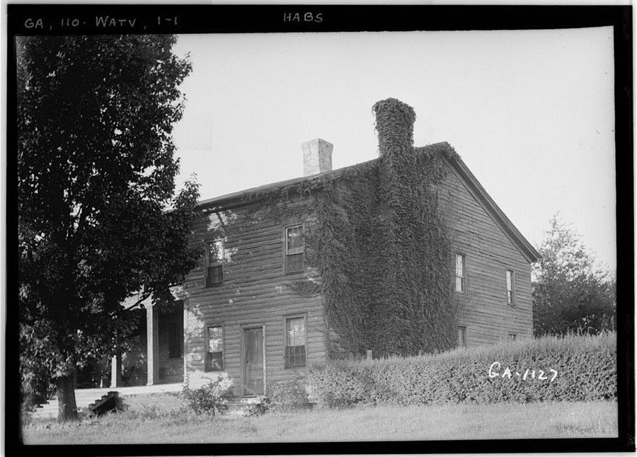
Every property in this county listed on the National Register of Historic Places, with the year it was listed and the federal nomination document.
| Photograph | Property | Type | Listed | Reference |
|---|---|---|---|---|
| Bishop Historic District | district | 1996 | 96000534 | |
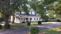 | William Daniell House | building | 1995 | 94001638 |
| Durham Homeplace | district | 2000 | 00000194 | |
 | Eagle Tavern | building | 1970 | 70000215 |
 | Elder's Mill Covered Bridge and Elder Mill | district | 1994 | 94000389 |
| Farmers and Citizens Supply Company Block | building | 1987 | 87001104 | |
| High Shoals Historic District | district | 2006 | 06000958 | |
 | Abe Jones House | building | 1994 | 93001572 |
| South Main Street Historic District | district | 1979 | 79000739 |
Oconee County has 1 covered bridge on the National Register. Each is a listed structure with a federal nomination on file.
| Elder's Mill Covered Bridge and Elder Mill | Listed 1994 |
Flown by the U.S. Geological Survey between 1937 and 1989, the Aerial Photo Single Frames collection is the definitive mid-century view of the land: fields, roads and rivers as the camera saw them. The Survey holds 250 frames inside the rectangle that bounds this county; the 16 frames below were taken over the county itself, chosen across the decades of flights (at most four a year from that rectangle), so one flight cannot crowd out the rest. The full set is free to browse and download at EarthExplorer under the dataset Aerial Photo Single Frames.
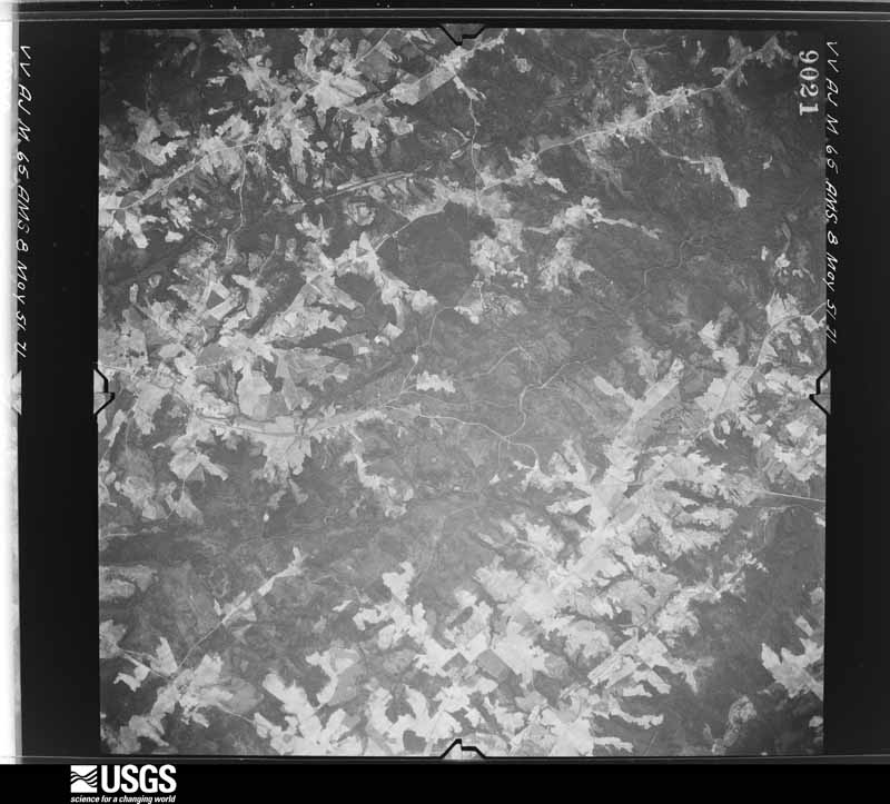
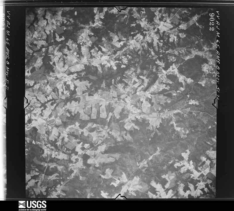
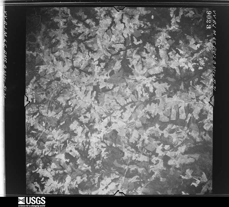
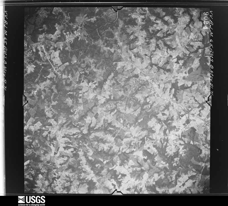
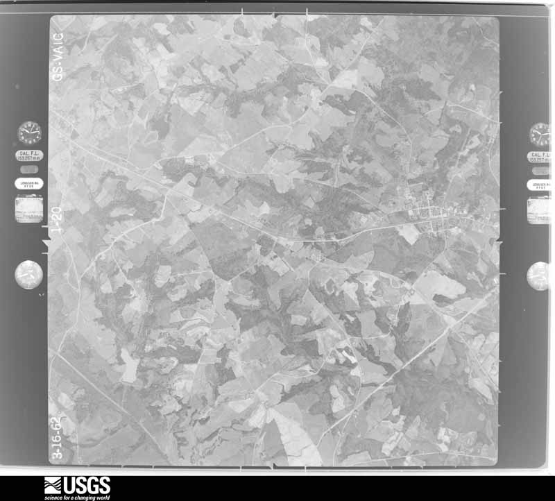
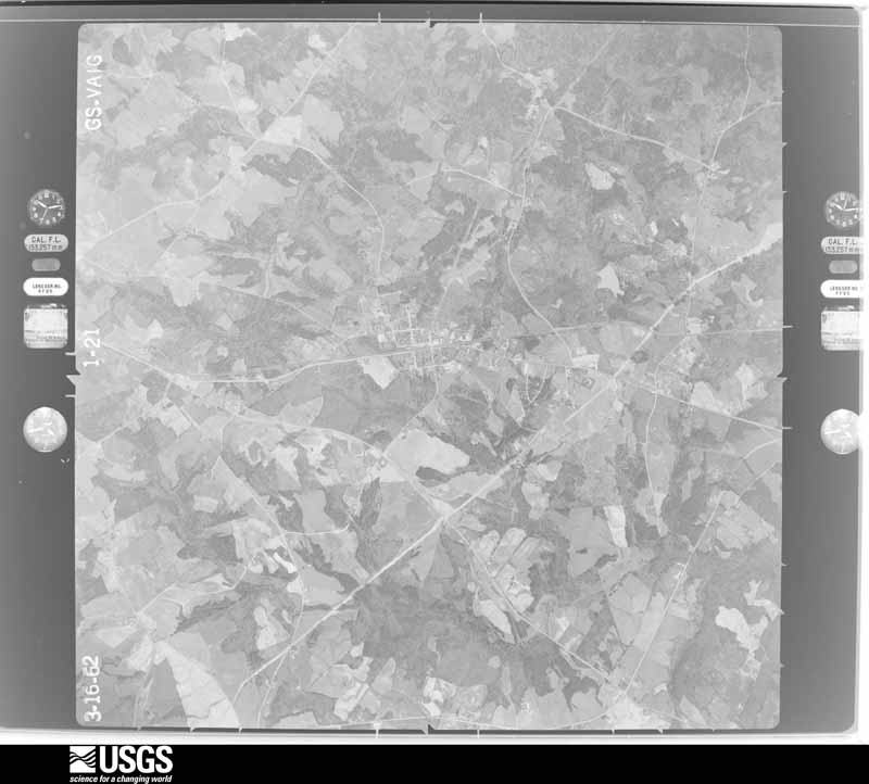

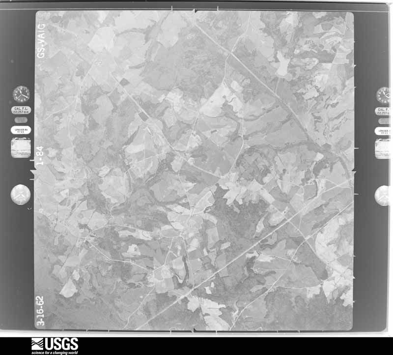
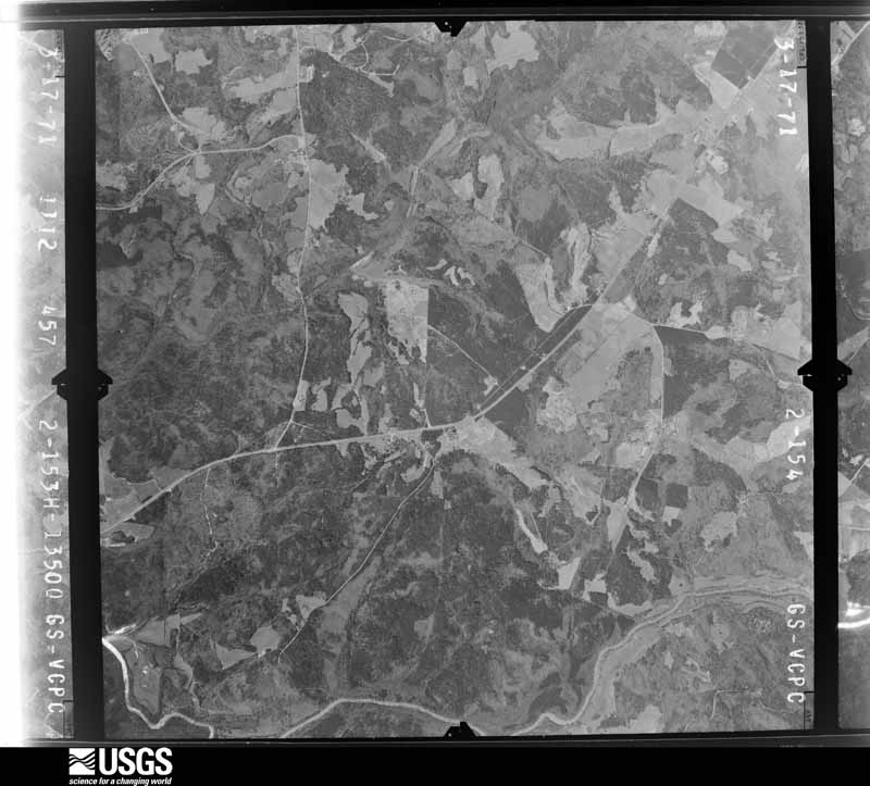
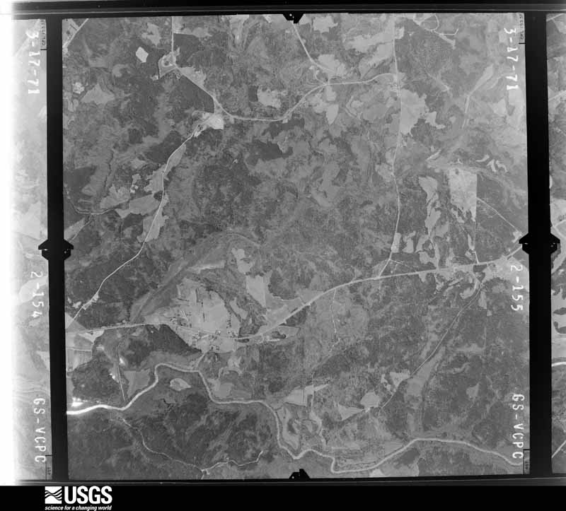
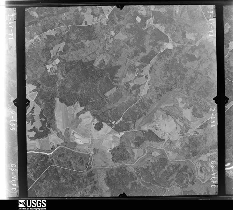
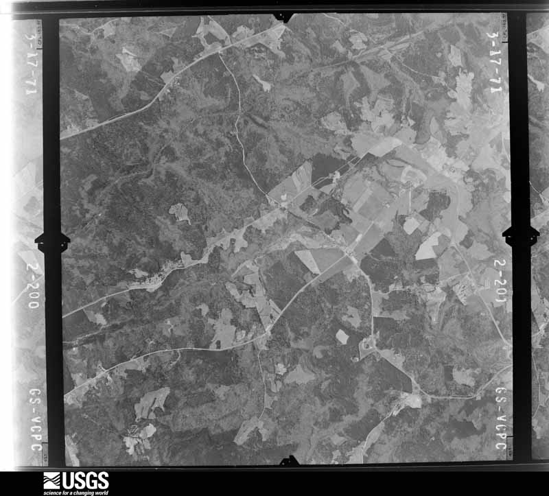



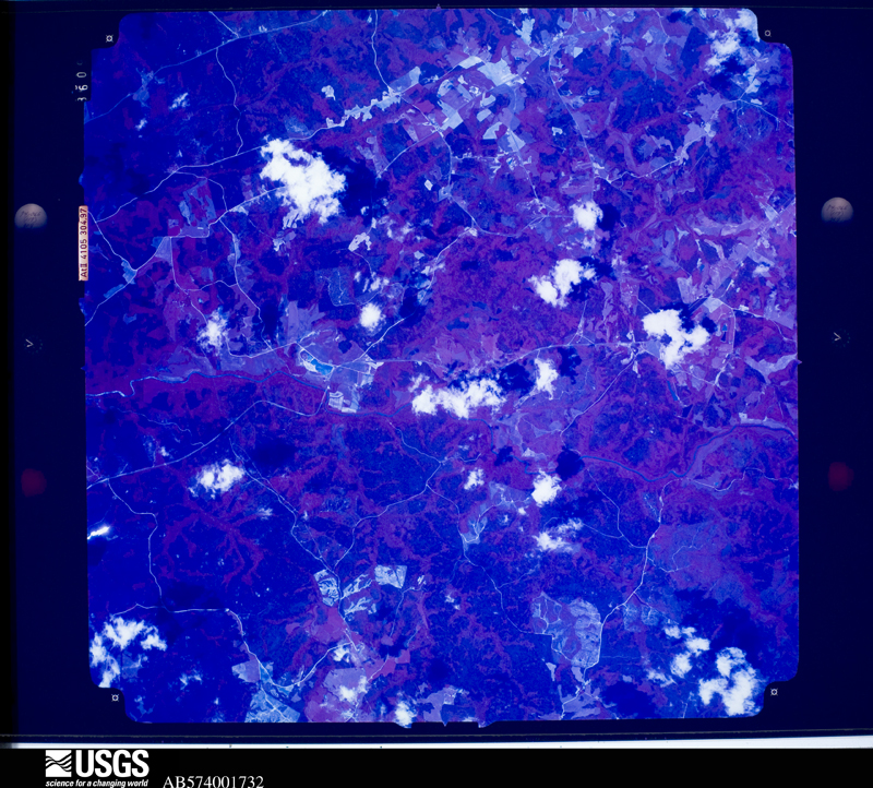
The thermometers that kept this county's weather, and the gages that measured the flow of its streams, as the federal records hold them. The extremes below are measured values from those records, not estimates.
Who lived here in 1950, one enumeration district at a time, as the Census Bureau described each district. Each row opens its official National Archives result, with Population Schedules and ED Maps available there.
Every wildfire the federal occurrence database records inside this county: 335 of them, burning about 635 acres. 15 started naturally and 39 were recorded as arson. Each settlement page carries the fires within five miles of it.
| Reported cause | Fires |
|---|---|
| Debris and open burning | 173 |
| Equipment and vehicle use | 42 |
| Arson/incendiarism | 39 |
| Missing data/not specified/undetermined | 27 |
| Natural | 15 |
| Smoking | 13 |
| Misuse of fire by a minor | 12 |
| Recreation and ceremony | 12 |
| Railroad operations and maintenance | 2 |
The five largest, by the area the report gives. None of them was recorded as arson.
| Date | Cause | Size | Reported by | Name on the report |
|---|---|---|---|---|
| 17 February 1996 | Smoking | 27 acres | Georgia Forestry Commission | not named |
| 23 March 2019 | Debris and open burning | 25 acres | Georgia Forestry Commission | FY2019OCONEE002 |
| 22 January 1995 | Debris and open burning | 21 acres | Georgia Forestry Commission | not named |
| 3 May 2008 | Debris and open burning | 20 acres | Georgia Forestry Commission | not named |
| 30 June 2009 | Railroad operations and maintenance | 18 acres | Georgia Forestry Commission | not named |
| 20 February 2000 | Debris and open burning | 18 acres | Georgia Forestry Commission | FY2000-OCONEE-010 |
| 23 February 2003 | Debris and open burning | 16 acres | Georgia Forestry Commission | not named |
| 11 March 1997 | Missing data/not specified/undetermined | 14 acres | Georgia Forestry Commission | not named |
Every settlement page carries the fires within five miles of it - see the settlement index below.
The NOAA Storm Events Database holds 180 reports for this county, causing 1 death, 3 injuries and about $252,861,300 in recorded property damage. Each settlement page carries the reports that name it.
| Kind of event | Reports |
|---|---|
| Thunderstorm Wind | 118 |
| Hail | 37 |
| Tornado | 12 |
| Lightning | 7 |
| Flash Flood | 4 |
| Flood | 1 |
| Strong Wind | 1 |
The most serious of them, by death, then injury, then recorded damage. The accounts are quoted exactly as the forecast office filed them.
| When | Event | Place named | Harm | What the report says |
|---|---|---|---|---|
| June 1994 | Tornado (F1) | Farmington | 1 killed, 3 hurt, $500,000 | A tornado sporadically touched down and destroyed five homes, seven mobil homes, four chicken houses and three barns along U.S. 441 near the Oconee/Morgan county line. One fatality occurred in a mobil home on U.S 441 one mile north of the Oconee/Morgan county line. Three minor injuries also resulted from the homes damaged by tornadic winds. Numerous trees and power lines were also downed along U.S. Highway 441 from tornadic winds. (F27M) |
| March 1973 | Tornado (F2) | not stated | $250,000,000 | no account filed |
| May 2006 | Hail | Eastville | $470,000 | The public reported golf ball-sized hail seven miles northwest of Watkinsville or two miles north-northwest of Eastville. The Oconee County Sheriff observed penny-sized hail near Bogart. |
| August 1985 | Tornado (F1) | not stated | $250,000 | no account filed |
| March 1975 | Tornado (F1) | not stated | $250,000 | no account filed |
| February 2009 | Tornado (EF1) | Turpin | $200,000 | A storm survey conducted by the National Weather Service Forecast Office in Peachtree City, Georgia, confirmed that an EF3 tornado touched down in extreme western Oconee county, just east of the Apalachee River near the intersection of U.S. Highway 441 and Tappin Spur Road. The tornado crossed U.S. 441 between county mile marker two and three, then continued on an almost due eastward track across the southern part of the county. The tornado lifted near the intersection of Hale Road and Colham Road, about two miles east-southeast of Salem, just shy of the Greene county line. The tornado path length was approximately five miles long, the maximum path width was estimated to be 1/2 mile, and maximum winds gusts were estimated to be 90 mph. Extensive damage to trees was observed along the path of the tornado. U.S. Highway 441 was completely closed for several hours as it was blocked from downed trees. The most extensive damage to trees occurred within the Georgia Nature Center, where several hundred trees were either blown down, uprooted, or topped along the path of the tornado. A vehicle was overturned on U.S. 441 as the tornado crossed the highway. Several homes along the path of the tornado sustained minor room damage and a mobile home was moved off its foundation. Also, at the Georgia Nature Center, two tent areas were destroyed and several solar panels were damaged. |
| August 2009 | Thunderstorm Wind | Bogart | $125,000 | The Oconee County 911 Center reported that more than 15 trees and several power lines were down, especially across the eastern part of the county from just west of Bogart to near Barnett Shoals. A large old oak tree fell on the roof of a home along North High Shoals Road resulting in moderate damage to the structure. A mobile home on Dials Mill Spur was destroyed when a tree fell on it. Trees were down on Mason Mill Road, Garrett Road, U.S. Highway 441, Fern Creek Drive, New High Shoals Drive, Jennings Mill Road, Monroe Highway, U.S. Highway 78 (Atlanta Highway) at several locations, and Pete Dickens Road. An 18-wheel truck carrying gasoline wrecked when it ran into a tree that had fallen across Atlanta Highway near Pete Dickens Road. The driver did not suffer any injuries. |
| August 2007 | Thunderstorm Wind | Watkinsville | $100,000 | The Oconee County Emergency Management Director reported that a thunderstorm downburst or microburst from a small thunderstorm caused considerable damage around the city of Watkinsville. The roof was blown off two chicken houses. In addition, two large feeding containers were blown from the chicken houses into an adjacent field. Twenty to 30 trees were blown down around the city. Trees were down on power lines at several locations and several roads were blocked from downed trees. |
| August 2006 | Lightning | Watkinsville | $100,000 | The Oconee Enterprise of Watkinsville reported that lightning struck a home on Wind Ridge Circle. The garage and bonus room above the garage burned. There was also heavy smoke and water damage in the house as well. The residents and their dog survived, but two pet rabbits did not. |
| August 2005 | Thunderstorm Wind | Watkinsville | $100,000 | The Oconee County Emergency Management Director reported that an apparent microburst or downburst associated with a strong thunderstorm blew down at least eight large trees near the intersection of Georgia Highway 53 and Experiment Station Road, or near the Phil Campbell USDA Research Center. At one location on the road, three large oak trees were blown down, one going through a portion of a residence. Another tree brought down power poles, including traffic signals and telephone cables. Next door, five large pecan trees were blown down, one causing minor damage to a residence and falling on another small structure on the premises. In addition, the tin roof was blown off a farm equipment shed on the same premises. |
| July 2002 | Lightning | Watkinsville | $100,000 | The Oconee Enterprise of Watkinsville reported that a fire was started at a home when lightning struck a pine tree and then traveled to the nearby garage. The garage caught fire and was gutted. Smoke and heat damage was also reported to neighboring parts of the home and all possessions stored in the garage were destroyed. Lightning caused problems at other locations in Watkinsville, including knocking out a transformer at a local bakery, damaging sheet rock at another home, and striking a tree which then fell onto a local road. |
| March 2020 | Thunderstorm Wind | Farmington | $75,000 | A National Weather Service survey determined that damaging thunderstorm wind gusts around 75 mph snapped or uprooted nearly 100 trees around a farm pond near the intersection of Price Mill Road and Branch Road. |
| May 1998 | Thunderstorm Wind | Watkinsville | $50,000 | Newspaper reports said there were dozens of trees knocked down by a powerful thunderstorm. At least 3 homes, several vehicles, and other structures were damaged. Most of the damage occurred in the Oak Pointe subdivision off Flat Rock Road about 3 miles southeast of Watkinsville. One tree fell on a pickup truck then onto the roof of a home. A funnel cloud was observed in the same area. The Oconee county EMA reported trees and power lines down along highway 78 north of Watkinsville. |
| July 2008 | Thunderstorm Wind | Watkinsville | $35,000 | The public reported that two grain silos on South Milledge Road between Watkinsville and the Clarke county line were blown over onto the road. Several power lines were also down in the area. |
| August 2001 | Thunderstorm Wind | Watkinsville | $30,000 | The Oconee Emergency Management Director and the Georgia State Climatologist both reported that numerous trees and power lines were down in Watkinsville, including on the U.S. Highway 441 bypass west of town. Several of the trees were quite large and one large tree went through the roof of a house in town. |
| June 2010 | Lightning | Watkinsville | $27,000 | The Oconee County 911 Center reported two lightning-related fires approximately five miles west-northwest of Watkinsville near Eastville. One lightning strike resulted in a house fire on Hodges Mill Road and another resulted in a brust fire near the intersection of Collin Ferry and Carsons Grade. No specific details were provided with respect to the damage to the home. |
| October 2010 | Thunderstorm Wind | Watkinsville | $25,000 | The Oconee County Emergency Management Director reported damage to several trees and power lines in the far southeast part of Oconee County, approximately six to seven miles southeast of Watkinsville. One vehicle suffered damage from a fallen tree. The Emergency Management Director was suspicious that the damage appeared to be caused by a tornado as there was a path of damage and trees and power lines were twisted along the path of damage. |
| January 2007 | Thunderstorm Wind | Bogart | $25,000 | The Oconee County 911 Center reported that several trees were down in scattered areas about the county, mainly the northern half, including Bogart, North High Shoals, and Watkinsville. A tree was down on Roanoke Road in Bogart, tree and limbs debris was found on Georgia Highway 53 at Ray's Church Road in Bogart, a vehicle was damaged on U.S. Highway 78 when a sign was blown onto it (also in Bogart), trees were down on Georgia Highway 53 in Watkinsville, and also on New High Shoals Road in North High Shoals. |
| August 2007 | Lightning | Watkinsville | $25,000 | The Oconee County Emergency Management Director reported that lightning struck a building in the city and set it on fire. A damage amount was indeterminable. |
| June 1998 | Thunderstorm Wind | Watkinsville | $25,000 | The Oconee county sheriff reported wind damage to the Post Office in Watkinsville. Numerous trees were knocked down county-wide. |
| November 1968 | Tornado (F1) | not stated | $25,000 | no account filed |
| June 2021 | Thunderstorm Wind | Allen | $24,000 | The Oconee County Emergency Manager reported numerous trees blown down in the Rays Church Road area between Highway 53 and Maxey Road. A GDOT sensor on Highway 78 recorded a wind gust of 61 MPH. |
| March 2017 | Thunderstorm Wind | Ashland | $20,000 | The Oconee County Sheriffs Office reported numerous trees blown down across the county from around Birchmore southeast to around Farmington and Elder. |
| February 1997 | Thunderstorm Wind | Stathum | $15,000 | no account filed |
| April 1997 | Thunderstorm Wind | Watkinsville | $15,000 | no account filed |
| April 1997 | Thunderstorm Wind | Watkinsville | $12,500 | no account filed |
| August 2020 | Thunderstorm Wind | North High Shoals | $12,000 | The Oconee County Emergency Manager reported numerous trees blown down from north of North high Shoals along Rays Church Road to west of Bishop along High Shoals Road. |
| August 2023 | Thunderstorm Wind | Old Mill Chase | $10,000 | Public also reported numerous trees and powerlines downed in the area around Mcree's Mill Rd and Flat Rock Rd. |
| August 2021 | Thunderstorm Wind | Bishop | $10,000 | The public reported a portion of a barn collapsed by winds near the intersection of Old Farmington Road and Astondale Road. |
| May 2011 | Thunderstorm Wind | North High Shoals | $10,000 | The Oconee County 911 Center reported that up to 30 trees were down across the southern end of the county. |
| August 2005 | Tornado (F0) | Bogart | $10,000 | The Oconee County Emergency Management Director concluded that an F0 tornado touched down about six miles southwest of Bogart on Ridgeway Road, just west of Lane Creek Road. This is also just south of Georgia Highway 53. The tornado damage path was only 0.1 mile long and 25 yards wide. Ten large trees were blown down in different directions and scattered about. A portion of a roof of a home was also blown off and the back deck railings were removed from the foundation and scattered about the yard. |
| February 2001 | Thunderstorm Wind | Watkinsville | $10,000 | The Oconee county 911 center reported that in two separate incidents a tree was knocked down on a home. A storm spotter reported that some small limbs were broken off trees in North High Shoals at the intersection of Georgia Highway 186 and New High Shoals Road. |
| June 2021 | Thunderstorm Wind | Jennings Mill | $8,000 | The public reported numerous trees blown down along Mars Hill Road. |
| August 2019 | Thunderstorm Wind | Jennings Mill | $7,000 | The Oconee County Emergency Manager reported multiple trees blown down from around Mars Hill Road and Rocky Branch Road. |
| June 2018 | Thunderstorm Wind | Elder | $7,000 | The Oconee County Emergency Manager reported trees blown down across the county from Hog Mountain Road south of Bogart to Hardin Hill Road and Colham Ferry Road in Watkinsville and Antioch Church Road east of Elder. |
| June 2011 | Thunderstorm Wind | North High Shoals | $7,000 | The Oconee County 911 Center reported that several trees and power lines were down throughout the county. Among other locations, trees were down on Moores Mill, Ridgeway and power lines were down on Malcolm Bridge, and Lenru Roads. |
| July 2015 | Thunderstorm Wind | Ben Dowdy | $6,000 | The Oconee County 911 Center reported trees and power lines down on Epps Bridge Parkway. |
| August 2023 | Thunderstorm Wind | Old Mill Chase | $5,000 | Multiple trees reported down near the intersection of Mcrees Mill Rd and Mcrees Mill Ln. |
| June 2020 | Thunderstorm Wind | Frogtown | $5,000 | The Oconee County Manager reported trees and power lines blown down from around the intersection of Hebron Church Road and Dove Creek Road to around the intersection of Moores Ford Road and Lane Creek Road. |
| August 2019 | Thunderstorm Wind | Victoria Station | $5,000 | Multiple trees down near the intersection of Simonton Bridge Road and Castle Drive, northeast of Watkinsville. Time estimated from radar. |
| July 2017 | Thunderstorm Wind | Elder | $5,000 | The Oconee County 911 center reported large trees and power lines blown down near the intersection of Watson Springs Road and Jerusalem Road. |
| August 2015 | Flash Flood | Farmington | $5,000 | The public reported Greenbrier Creek flooded JT Elder Road near the Georgia Nature Center around one mile north of Salem. The road was closed for a few hours due to the high water water. Minor erosion damage occurred to the road bed. |
| June 2013 | Flash Flood | Ben Dowdy | $5,000 | Heavy rain overwhelmed the storm drains in Watkinsville and caused flood waters to enter the basement of a church at the corner of Main Street and Simonton Bridge Road. The water got up to one foot deep in the basement. There appeared to be no debris blockage contributing to the flooding. |
| September 2009 | Flash Flood | Frogtown | $5,000 | The Oconee County Emergency Management Director reported minor flash flooding in some parts of the county as rainfall exceeded six inches in a 12-hour period. One road in a Bogart subdivision was closed because of flooding. Damage was confined to minor debris removal. |
| May 2008 | Thunderstorm Wind | North High Shoals | $5,000 | The Oconee County 911 Center reported that several trees and power lines were down in the west central and southern part of the county, south of Watkinsville, mostly in the Bishop area. |
| November 2003 | Thunderstorm Wind | Watkinsville | $5,000 | The Oconee county Emergency Manager reported that a number of trees and several power lines had been blown down. |
| December 2002 | Lightning | Watkinsville | $5,000 | The Oconee Enterprise reported that lightning struck a home in the Baker's Acres subdivision. The lightning struck just outside the house, but the current ran in on a Christmas light cord. The lightning strike caused extensive damage to the floor and sheet rock walls of the home's carport. Although the residents were home at the time of the incident, no injuries were reported. |
| July 2002 | Thunderstorm Wind | Countywide | $5,000 | The Athens Daily News reported that several trees were blown down across the county. |
| June 1994 | Tornado (F0) | Franklin | $5,000 | A weak tornado briefly touched down three miles southeast of Franklin and downed several pine trees before dissipating. |
| June 1994 | Thunderstorm Wind | Watkinsville | $5,000 | Several large trees and power lines were downed by thunderstorm winds. |
| February 1993 | Thunderstorm Wind | Watkinsville | $5,000 | Several large trees were blown down. |
| June 2016 | Thunderstorm Wind | Bogart | $4,000 | The Oconee County Emergency Manager reported several trees blown down across northern portions of the county, mainly around the Bogart area. |
| May 2014 | Thunderstorm Wind | Bishop | $4,000 | The Oconee County 911 Center reported that numerous trees and power lines were blown down throughout the county, much of it in the Bishop and Farmington region. |
| April 2011 | Thunderstorm Wind | Eastville | $4,000 | The Oconee County 911 Center reported that more than a dozen trees were down across the county. |
| July 2019 | Thunderstorm Wind | Ashland | $3,000 | The Oconee County Emergency Manager reported trees blown down along Highway 53 southwest of Bogart. |
| July 2016 | Thunderstorm Wind | Victoria Station | $3,000 | The public reported trees blown down in the Watkinsville area. |
| April 2005 | Thunderstorm Wind | Countywide | $3,000 | The Oconee County 911 Center reported that several trees were down throughout the county. |
| August 2002 | Lightning | Watkinsville | $3,000 | The Oconee Enterprise reported that lightning struck and set on fire a barn off Hog Mountain road. The barn was full of hay. |
| September 1995 | Thunderstorm Wind | Countywide | $3,000 | Thunderstorm winds knocked several trees down on county roads. Power and traffic lights were out all over the county. |
| April 1982 | Tornado (F0) | not stated | $2,500 | no account filed |
The Survey's mineral resources record lists 2 workings inside this county. None of them still produces: all are closed or unrecorded. Each settlement page carries the workings within five miles of it.
| Commodity | Workings |
|---|---|
| Mica | 2 |
The least common of them first, because a county's hundredth gravel pit says nothing its first ten did not.
| Where | Site | Commodity | Status | Recorded |
|---|---|---|---|---|
| Branch Prospect | Mica | Prospect | ||
| Thomas Prospect | Mica | Prospect |
Named settlements recorded in the Geographic Names Information System, each with the topographic sheets covering it. Villages, hamlets and abandoned places alike. Each is shown with the nearest named watercourse or landform and the survey quadrangle it falls on.
Watkinsville census division · 30677 · On Parker Branch · Athens West quadrangle
15 sheets, 1953 to 1998
Elder census division · 30619 · Near Coon Mountain · Barnett Shoals quadrangle
11 sheets, 1953 to 1988
Watkinsville census division · 30606 · On Parker Branch · Athens West quadrangle
15 sheets, 1953 to 1998
Watkinsville census division · 30606 · On Parker Branch · Athens West quadrangle
15 sheets, 1953 to 1998
Watkinsville census division · 30606 · On Parker Branch · Athens West quadrangle
15 sheets, 1953 to 1998
Watkinsville census division · 30677 · On Calls Creek · Athens West quadrangle
15 sheets, 1953 to 1998
Watkinsville census division · 30677 · On Parker Branch · Athens West quadrangle
15 sheets, 1953 to 1998
Watkinsville census division · 30677 · On Lampkin Branch · Watkinsville quadrangle
12 sheets, 1953 to 1988
Watkinsville census division · 30677 · On Lampkin Branch · Watkinsville quadrangle
12 sheets, 1953 to 1988
Watkinsville census division · 30606 · On Barber Creek · Athens West quadrangle
15 sheets, 1953 to 1998
Watkinsville census division · 30606 · On Parker Branch · Athens West quadrangle
15 sheets, 1953 to 1998
Watkinsville census division · 30606 · On Parker Branch · Athens West quadrangle
15 sheets, 1953 to 1998
Bogart census division · 30677 · On Parker Branch · Athens West quadrangle
15 sheets, 1953 to 1998
Watkinsville census division · 30677 · On Parker Branch · Athens West quadrangle
15 sheets, 1953 to 1998
Elder census division · 30677 · On Little Rose Creek · Barnett Shoals quadrangle
11 sheets, 1953 to 1988
Watkinsville census division · 30621 · Watkinsville quadrangle
12 sheets, 1953 to 1988
Watkinsville census division · 30677 · On Lampkin Branch · Watkinsville quadrangle
12 sheets, 1953 to 1988
Watkinsville census division · 30677 · On Calls Creek · Athens West quadrangle
15 sheets, 1953 to 1998
Watkinsville census division · 30606 · On Barber Creek · Athens West quadrangle
15 sheets, 1953 to 1998
Watkinsville census division · 30677 · On Lampkin Branch · Watkinsville quadrangle
12 sheets, 1953 to 1988
Watkinsville census division · 30677 · On Lampkin Branch · Athens West quadrangle
15 sheets, 1953 to 1998
Watkinsville census division · 30677 · On Lampkin Branch · Watkinsville quadrangle
12 sheets, 1953 to 1988
Watkinsville census division · 30677 · On Lampkin Branch · Watkinsville quadrangle
12 sheets, 1953 to 1988
Watkinsville census division · 30621 · On Lane Creek · High Shoals quadrangle
16 sheets, 1896 to 1988
Watkinsville census division · 30677 · On Parker Branch · Athens West quadrangle
15 sheets, 1953 to 1998
Elder census division · 30677 · On Porters Creek · Barnett Shoals quadrangle
11 sheets, 1953 to 1988
Bogart census division · 30677 · On Parker Branch · Athens West quadrangle
15 sheets, 1953 to 1998
Watkinsville census division · 30677 · On Porters Creek · Barnett Shoals quadrangle
11 sheets, 1953 to 1988
Watkinsville census division · 30621 · On Frazer Creek · Watkinsville quadrangle
12 sheets, 1953 to 1988
Watkinsville census division · 30677 · On Porters Creek · Barnett Shoals quadrangle
11 sheets, 1953 to 1988
Elder census division · 30677 · On Porters Creek · Barnett Shoals quadrangle
11 sheets, 1953 to 1988
Watkinsville census division · 30677 · Watkinsville quadrangle
12 sheets, 1953 to 1988
Watkinsville census division · 30677 · On Porters Creek · Barnett Shoals quadrangle
11 sheets, 1953 to 1988
Watkinsville census division · 30677 · On Parker Branch · Athens West quadrangle
15 sheets, 1953 to 1998
Elder census division · 30677 · On Slab Camp Creek · Barnett Shoals quadrangle
11 sheets, 1953 to 1988
Elder census division · 30605 · Near Coon Mountain · Barnett Shoals quadrangle
11 sheets, 1953 to 1988
No longer a settlement
Watkinsville census division · 30677 · On Calls Creek · Athens West quadrangle
15 sheets, 1953 to 1998
Watkinsville census division · 30606 · On Barber Creek · Athens West quadrangle
15 sheets, 1953 to 1998
Watkinsville census division · 30677 · On Lampkin Branch · Athens West quadrangle
15 sheets, 1953 to 1998
Watkinsville census division · 30677 · On Lampkin Branch · Athens West quadrangle
15 sheets, 1953 to 1998
Watkinsville census division · 30606 · On Barber Creek · Athens West quadrangle
15 sheets, 1953 to 1998
Watkinsville census division · 30606 · On Barber Creek · Athens West quadrangle
15 sheets, 1953 to 1998
Watkinsville census division · 30677 · On Lampkin Branch · Watkinsville quadrangle
12 sheets, 1953 to 1988
Watkinsville census division · 30677 · Watkinsville quadrangle
12 sheets, 1953 to 1988
Watkinsville census division · 30677 · Apalachee quadrangle
11 sheets, 1953 to 1988
No longer a settlement
Watkinsville census division · 30677 · On Calls Creek · Watkinsville quadrangle
12 sheets, 1953 to 1988
Watkinsville census division · 30677 · On Lampkin Branch · Watkinsville quadrangle
12 sheets, 1953 to 1988
Watkinsville census division · 30677 · On Lampkin Branch · Watkinsville quadrangle
12 sheets, 1953 to 1988
Watkinsville census division · 30677 · On Parker Branch · Athens West quadrangle
15 sheets, 1953 to 1998
Watkinsville census division · 30677 · On Parker Branch · Athens West quadrangle
15 sheets, 1953 to 1998
Watkinsville census division · 30677 · On Lampkin Branch · Athens West quadrangle
15 sheets, 1953 to 1998
The vanished settlements of Oconee County: the places named above that are no longer on the map.
The complete index, with nothing left out. Each of these is a separate record with its own page: a federal survey report, or the case file that argued a property on to the National Register. Both are public domain and reproduced word for word.
The vanished settlements of Oconee County, the places these records name that are no longer on the map.