 Block
From the record
7 National Register listings published here.
Sources: the National Register database, National Park Service
61 topographic sheets and 2 fire insurance atlases across 1 place.
7 National Register listings published here.
Sources: the National Register database, National Park Service
Every property in this county listed on the National Register of Historic Places, with the year it was listed and the federal nomination document.
| Photograph | Property | Type | Listed | Reference |
|---|---|---|---|---|
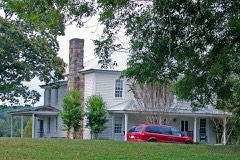 | Cagle House | building | 2002 | 02000191 |
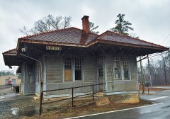 | Georgia Marble Company and Tate Historic District | district | 2005 | 05000644 |
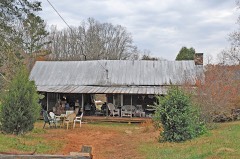 | Griffeth-Pendley House | building | 2008 | 08000293 |
 | Pickens County Courthouse | building | 2008 | 08000352 |
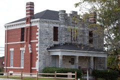 | Pickens County Jail | building | 1984 | 84001218 |
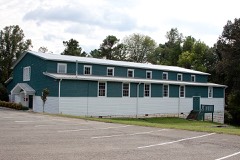 | Tate Gymnasium | building | 2002 | 02001493 |
 | Tate House | building | 1974 | 74000700 |
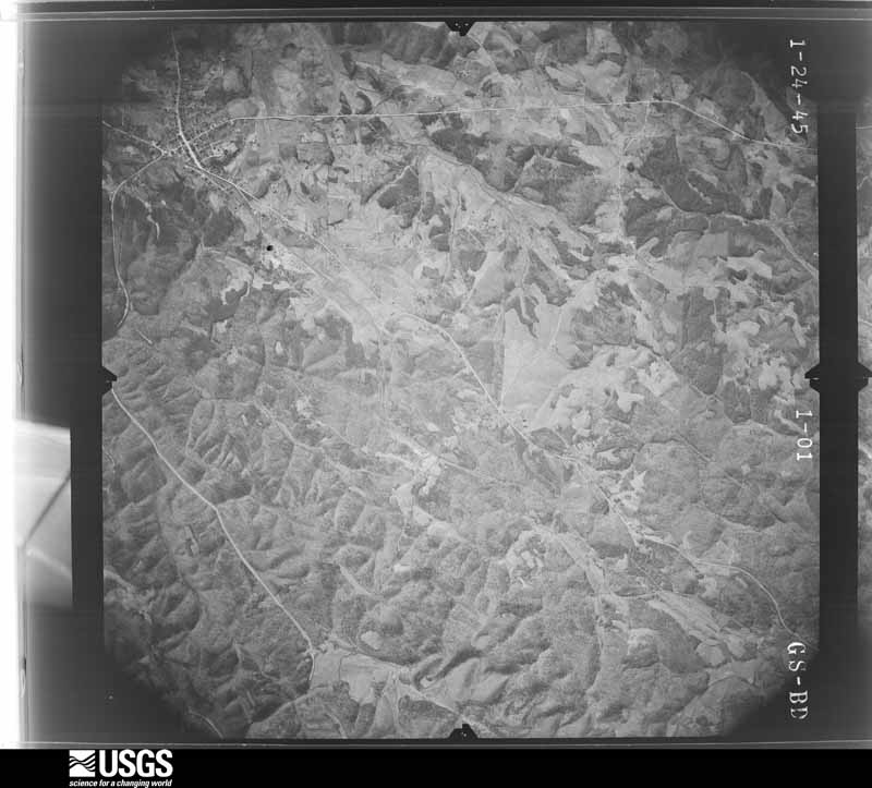
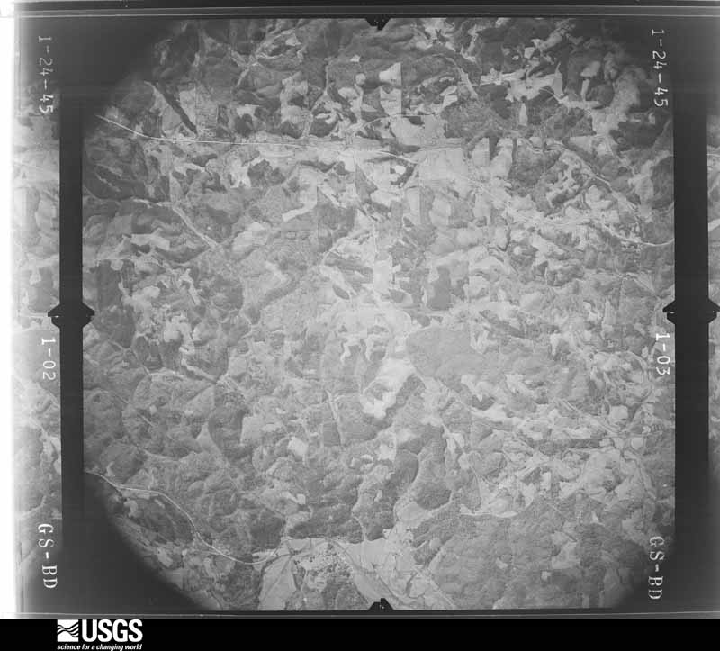
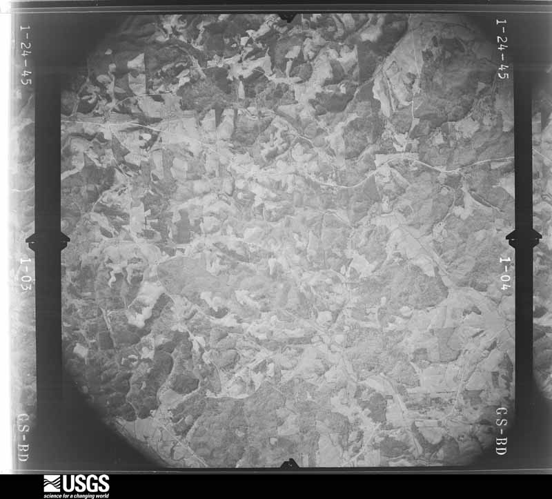
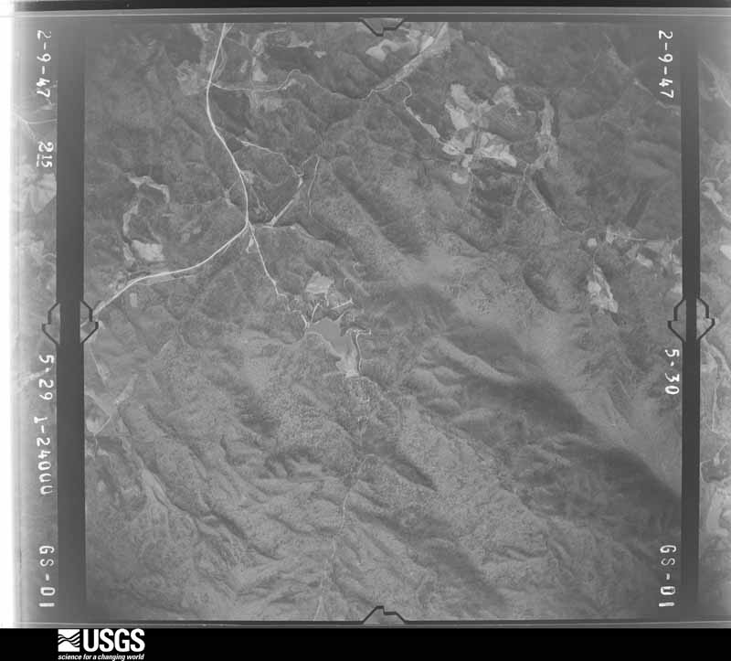
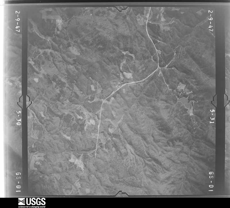
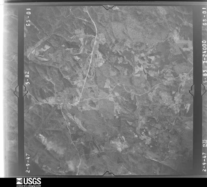
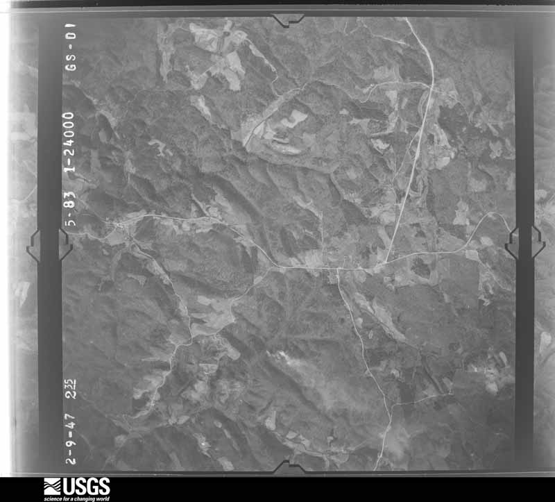
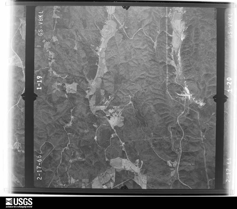
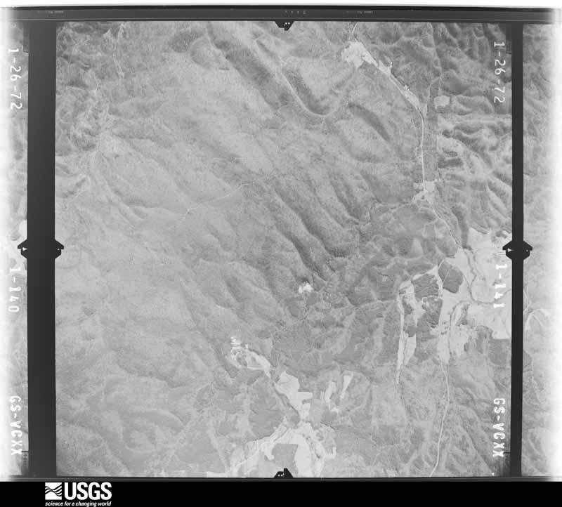
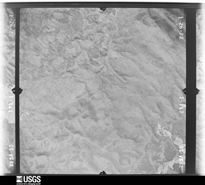
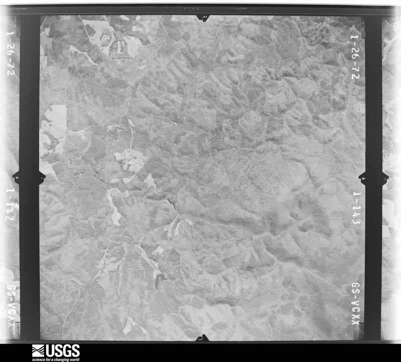
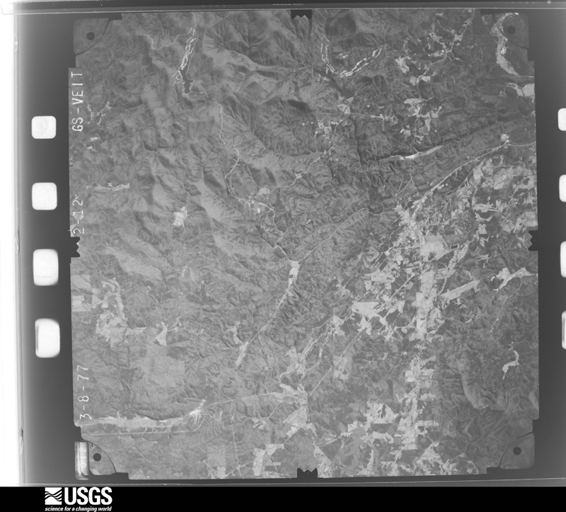
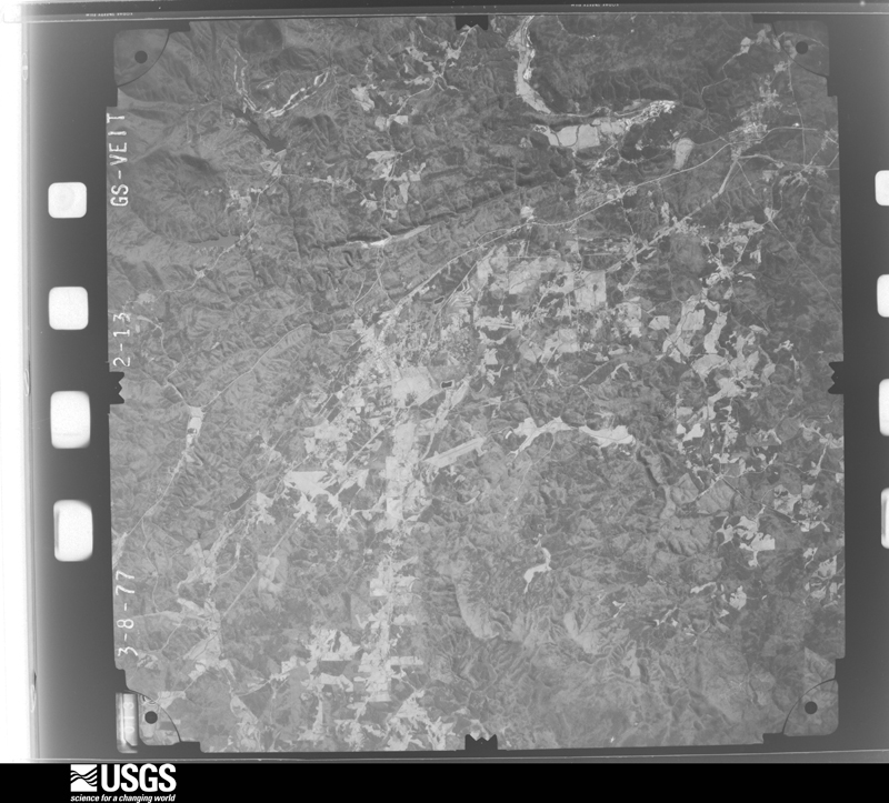
Flown by the U.S. Geological Survey between 1937 and 1989, the Aerial Photo Single Frames collection is the definitive mid-century view of the land: fields, roads and rivers as the camera saw them. The Survey holds 323 frames inside the rectangle that bounds this county; the 28 frames below were taken over the county itself, chosen across the decades of flights (at most four a year from that rectangle), so one flight cannot crowd out the rest. The full set is free to browse and download at EarthExplorer under the dataset Aerial Photo Single Frames.




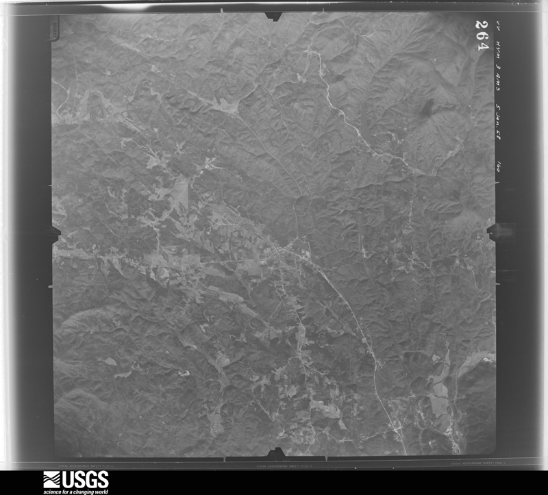
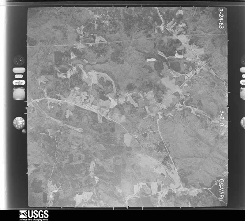
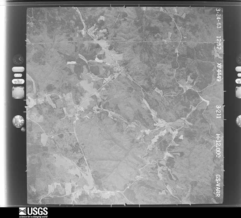
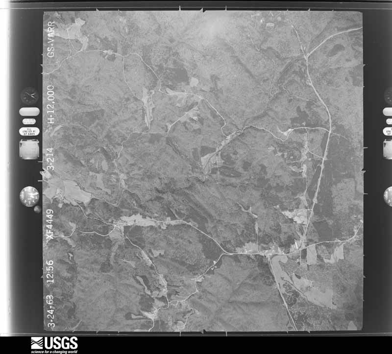
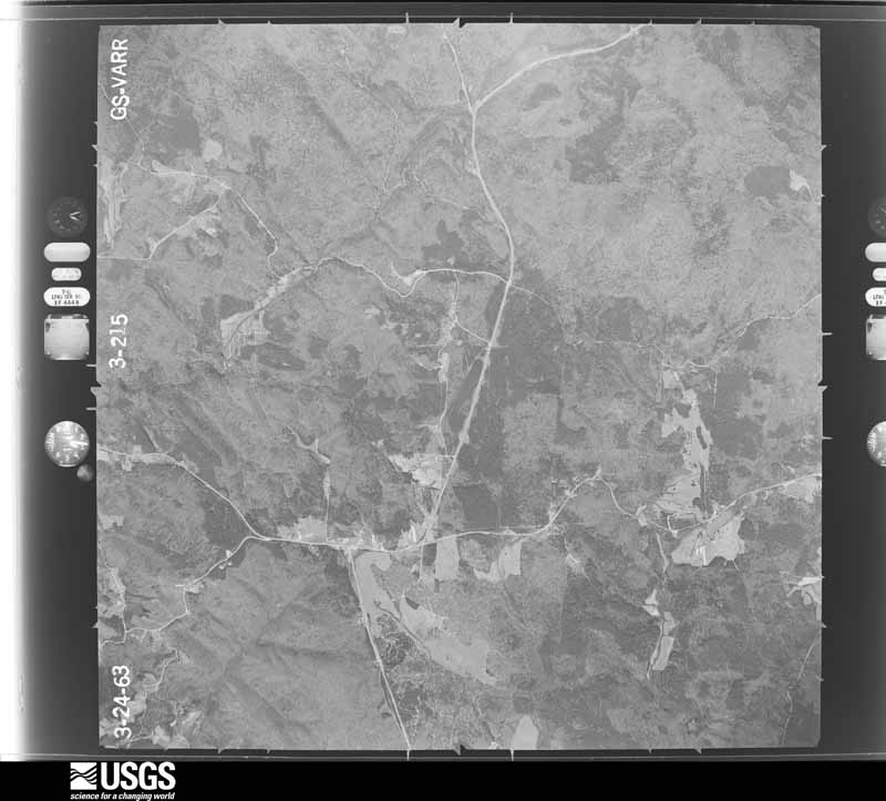
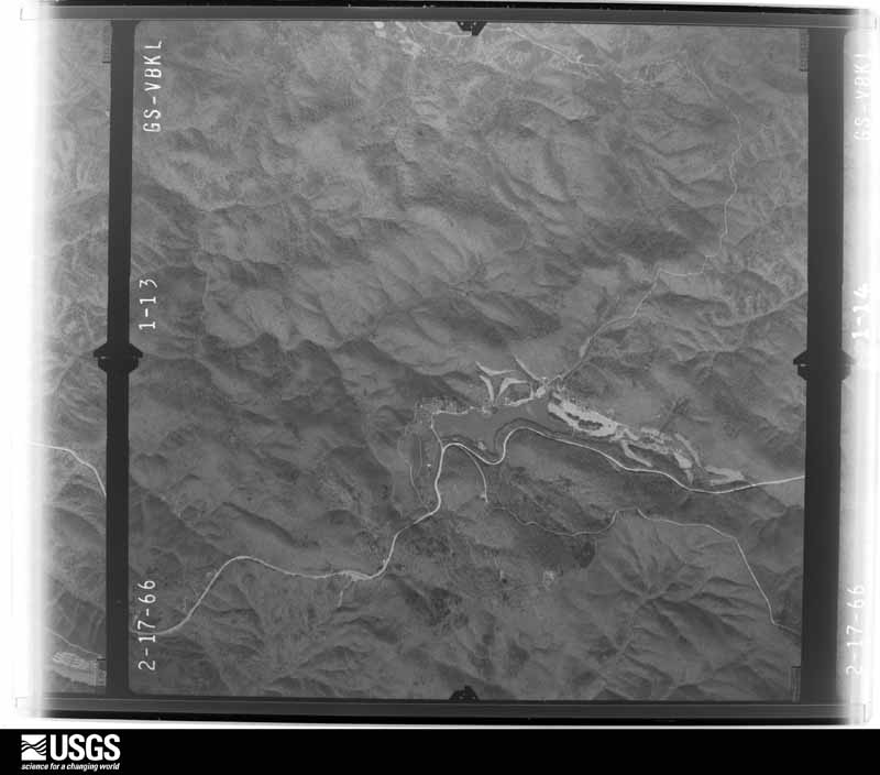
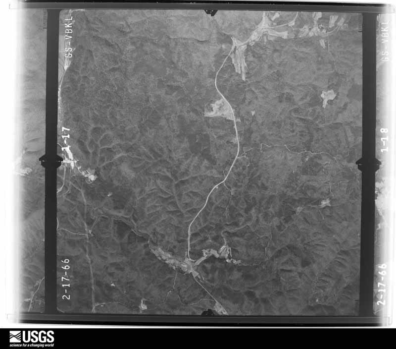
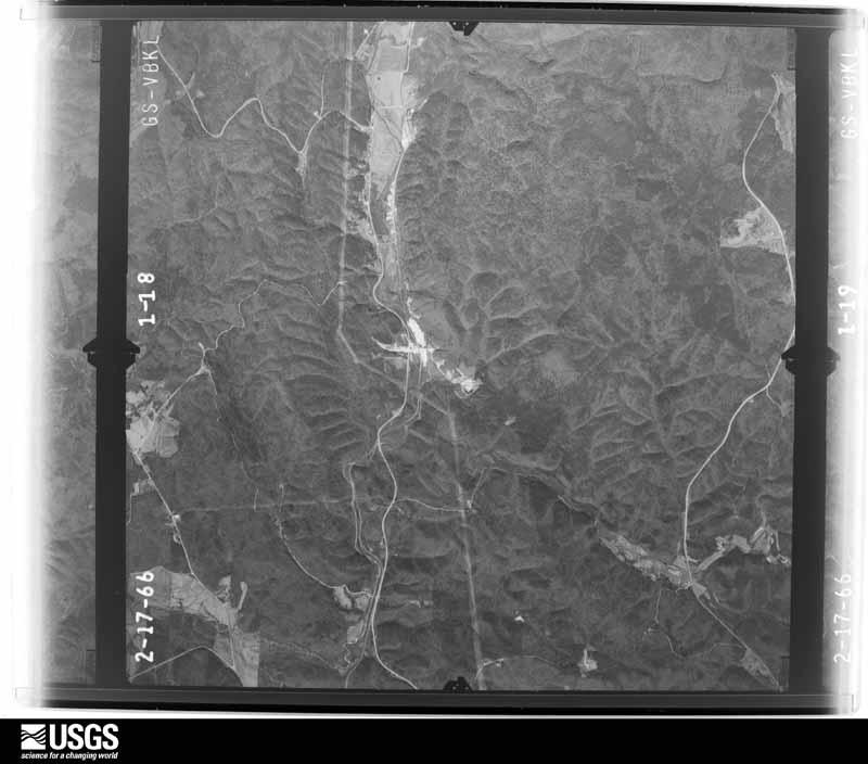



The thermometers that kept this county's weather, and the gages that measured the flow of its streams, as the federal records hold them. The extremes below are measured values from those records, not estimates.
Who lived here in 1950, one enumeration district at a time, as the Census Bureau described each district. Each row opens its official National Archives result, with Population Schedules and ED Maps available there.
Every wildfire the federal occurrence database records inside this county: 1,023 of them, burning about 4,278 acres. 18 started naturally and 388 were recorded as arson. Each settlement page carries the fires within five miles of it.
| Reported cause | Fires |
|---|---|
| Debris and open burning | 389 |
| Arson/incendiarism | 388 |
| Missing data/not specified/undetermined | 77 |
| Equipment and vehicle use | 47 |
| Misuse of fire by a minor | 31 |
| Smoking | 29 |
| Railroad operations and maintenance | 27 |
| Natural | 18 |
| Recreation and ceremony | 17 |
The five largest, by the area the report gives. Four of them were set deliberately.
| Date | Cause | Size | Reported by | Name on the report |
|---|---|---|---|---|
| 22 March 2011 | Arson/incendiarism | 780 acres | Georgia Forestry Commission | FY2011-PICKENS-017 |
| 4 September 2002 | Railroad operations and maintenance | 301 acres | Georgia Forestry Commission | FY2003-PICKENS-008 |
| 13 May 2007 | Natural | 159 acres | Georgia Forestry Commission | HARRITON ROAD FIRE |
| 24 March 1995 | Arson/incendiarism | 103 acres | Georgia Forestry Commission | not named |
| 24 March 1995 | Arson/incendiarism | 83 acres | Georgia Forestry Commission | not named |
| 29 October 2000 | Smoking | 80 acres | Georgia Forestry Commission | FY2001-PICKENS-013 |
| 15 February 1998 | Arson/incendiarism | 71 acres | Georgia Forestry Commission | not named |
| 14 March 2000 | Recreation and ceremony | 65 acres | Georgia Forestry Commission | FY2000-PICKENS-036 |
Every settlement page carries the fires within five miles of it - see the settlement index below.
The NOAA Storm Events Database holds 204 reports for this county, causing 1 death, 27 injuries and about $25,166,900 in recorded property damage. Each settlement page carries the reports that name it.
| Kind of event | Reports |
|---|---|
| Thunderstorm Wind | 106 |
| Hail | 64 |
| Flash Flood | 16 |
| Tornado | 10 |
| Lightning | 4 |
| Flood | 3 |
| Heavy Rain | 1 |
The most serious of them, by death, then injury, then recorded damage. The accounts are quoted exactly as the forecast office filed them.
| When | Event | Place named | Harm | What the report says |
|---|---|---|---|---|
| April 1974 | Tornado (F4) | not stated | 1 killed, 17 hurt, $2,500,000 | no account filed |
| November 2002 | Tornado (F2) | Tate | 10 hurt, $5,600,000 | The tornado that originated in Cherokee county near Beasley Gap, continued into and across Pickens county. Once again, the National Weather Service disaster survey team determined that this was a multi-segmented tornado, with much of the damage along the path caused by straight line winds of at least 70 mph. The tornado entered the county southwest of Cagle, then continued on to just north of Tate roughly paralleling Georgia Highway 108, then turned more eastward along Georgia Highway 53 to near Marblehill, through the Big Canoe golf course and recreation area, then east of Big Canoe into extreme western Dawson county. There was definite evidence of F2 tornadic damage just north of Tate where winds were estimated in the 113 to 157 mph range. Some of the hardest hit areas included homes on Pleasant Union Road near the Cherokee county border; the Mountain Lakes Estates area, where several homes suffered extensive damage; the Bethany-Salem district where at least 56 structures were damaged or destroyed; Refuge Road near Tate, the town suffering some of the greatest damage where several homes and business were destroyed; the Big Canoe area near the Dawson county border, where several homes were damaged and the tennis center suffered extensive damage. All together, a total of 26 structures, mostly residential homes were destroyed, 142 structures were partially damaged, 2 businesses were destroyed, and 14 vehicles were totally destroyed. In addition, ten people were injured, primarily in damaged homes or trapped in vehicles on which trees fell. One of the businesses destroyed was the popular Davis's Barbeque on Georgia Highway 108. The restaurant was completely blown away, including the 20-foot white columns that stood in front of the restaurant. Three of the injuries in the county occurred in new mobile homes behind the Barbeque restaurant when their homes were flattened by the winds and other debris from the restaurant. One of the children injured, a 4-year old girl, was found by a nearby pond. The Refuge Baptist Church suffered extensive damage and was left in shambles. The historic Big Canoe chapel was also among the structures suffering damage. The steeple and all of the windows were lost from the church along with other structural damage to both the exterior and interior walls. Numerous trees were uprooted and many power lines were damaged along the path. Thirty people had to be put up in shelters and at least 6000 people were left without power for an extended period. Pickens county was the hardest hit of five counties declared in a state of emergency by the governor. |
| April 2011 | Tornado (EF3) | Talmadge | $8,000,000 | A damage survey conducted by the National Weather Service Forecast Office in Peachtree City, Georgia and the Cherokee County Emergency Management Director confirmed that the EF3 tornado that touched down in northern Bartow county, five miles northeast of Kingston and continued across extreme northwest Cherokee county, also continued into western Pickens county before lifting. The tornado tracked northeast across Pickens county, entering the county almost five miles west-southwest of Talmadge and lifting approximately two miles east of Hinton or seven miles west of Jasper. Within in Pickens county extensive damage was observed along Henderson Mountain Road and Bryant Road where several mobile homes were completely destroyed. There was at least one injury observed, but no fatalities in Pickens county as a result of this tornado.||Total damages in Pickens county consist of 26 homes and/or business destroyed, 15 with major damage, and 35 with minor damage for a total of 76 affected structures.||[04/27-04/28/11: Tornado #6, County #3-3, EF3, Bartow-Cherokee-Pickens, 2011:015]. |
| September 2011 | Tornado (EF1) | Nelson | $3,000,000 | The Pickens County Emergency Management Director confirmed that the EF1 tornado, which originally touched down in far southern Cherokee county just west of Woodstock and continued on a north-northeastward track across eastern Cherokee county, entered Pickens county at the city of Nelson. Damage in Pickens county remained consistent with an EF1 rating. From here, the tornado continued north-northeast to just past Marble Hill before finally lifting. Within Pickens county the tornado had a path length of approximately five miles with a maximum path width of 220 yards or 1/8 mile. Eleven homes were damaged along the path of the tornado within Pickens county. One of these homes was completely removed from its foundation and destroyed. Four other homes suffered major damage, three with moderate damage, and the remaining three minor damage. The majority of this damage was in the Marble Hill community. In addition, three structures at the Emory Marble Plant in Marble Hill suffered major damage. Dozens of medium to large-sized trees, including several large oak trees, were downed along the path of the tornado. Several roads were completely blocked as a result, including a portion of Georgia Highway 53 between Tate and Marble Hill.||[09/05/11: Tornado #1, County #2-2, EF1, Cherokee-Pickens, 2011:025]. |
| April 1985 | Tornado (F2) | not stated | $2,500,000 | no account filed |
| July 2023 | Thunderstorm Wind | Ruden | $500,000 | Approximately 500 trees down across Pickens County with county wide power outages. Damage has affected roughly 60 roads and a few homes damaged. |
| August 2006 | Lightning | Jasper | $500,000 | The Pickens County Progress of Jasper reported that lightning struck the Big Canoe Golf Shop. The building was a total loss, including a restaurant, pro shop, locker rooms, and a bar. Later investigations determined that lightning likely entered the building via a two-way radio antenna into the pro shop. Lightning also damaged several other buildings in downtown Jasper, including a lawyer's office, the Carriage House, and the Savor Restaurant. |
| June 2011 | Thunderstorm Wind | Blaine | $300,000 | The Pickens County Emergency Management Director widespread and extensive tree damage across the county with dozens of trees were down throughout the county. Several structures were damaged from downed trees and several roads were blocked. |
| March 2011 | Thunderstorm Wind | Talking Rock | $300,000 | A damage survey conducted by the National Weather Service Forecast Office in Peachtree City, Georgia and the Pickens County Emergency Management Director confirmed that extensive damage to trees and property across the northern half of Pickens county was the result of a 75 mph straight-line thunderstorm winds. Two large chicken houses, just south-southwest of Talking Rock, collapsed and were destroyed. Eight homes in the same general area suffered minor damage from downed trees and/or tree limbs. In Jasper, the roof of a large building was removed by the strong winds. It should be noted, however, that this roof was built on top of an existing roof. Several power lines were also down in the area between Talking Rock and Jasper. |
| August 2008 | Hail | Blaine | $300,000 | The public observed penny, quarter, and golf ball-sized hail in western Pickens county from the northwest corner to the southwest corner, west of Blaine. Radar data suggests that hail of similar size likely fell all the way to the Cherokee county line in the southwest corner of the county. |
| April 1965 | Tornado (F2) | not stated | $250,000 | no account filed |
| September 2008 | Lightning | Talking Rock | $200,000 | The Pickens County Progress reported that lightning struck two homes west of Jasper. A home on Hobson Drive was struck and set on fire causing considerable electrical and smoke damage to the home. However, the house was apparently not destroyed. Another home in the 3600 block of Georgia Highway 53 was also struck and set on fire by lightning. The home was completely destroyed. |
| July 2010 | Lightning | Jasper | $150,000 | The Atlanta Journal-Constitution reported that a double lightning bolt struck a 66-acre farm just north of Jasper killing four thoroughbred horses valued over $100,000. The lightning bolts apparently hit the pasture where the horses were grazing and traveled through a drainage pipe that ran underneath a dam where the horses were standing at the time of the incident. |
| April 2011 | Hail | Hinton | $128,000 | The public observed golf ball-sized hail near Talking Rock. WSR-88D radar data suggests that similar-sized hail likely fell across much of the county from west of Hinton to the northeast corner of the county near Sequoyah Lake. |
| September 2004 | Flash Flood | Countywide | $100,000 | The Georgia Emergency Management Agency and the Pickens County Progress of Jasper reported that flash flooding was widespread and extensive across the county. Several roads were washed out from flash flooding, including portions of Georgia Highway 136. Numerous other roads in the county were flooded and closed as well. Whole sections of pipeline along some roads were washed out, including about 100 feet of a water line. Around 12 bridges and culverts in the county were damaged from flood waters and had to be inspected. The public also reported significant flooding in many areas of the county as well. |
| May 2013 | Lightning | Nelson | $60,000 | The Pickens County Emergency Manager reported that a house was partially burned down due to lightning. |
| March 2017 | Thunderstorm Wind | Ruden | $50,000 | A trained spotter and the public reported thunderstorm wind damage across Pickens County including roof damage in Jasper, an auto repair garage heavily damaged near the Pickens County Airport and around 25 very large trees snapped or uprooted along Pickens Street in Nelson. |
| August 2013 | Flash Flood | Jasper | $50,000 | The Pickens County emergency manager reported swift water rescues in progress at Sharptop Cove Young Life Camp off of Camp Hope Road northeast of Jasper. A portion of the road was washed out by Long Swamp Creek which was cutting off the camp. Two camp employees in a truck attempted to cross the flood waters and were washed downstream around 40 yards from the culvert. A portion of Tamarack Drive was completely washed out by the same creek around one quarter mile downstream from the camp. Another swift water rescue and evacuation from a home was in progress off of Price Creek Trail. Flood waters from Price Creek were threatening the home and first responders were having difficulty reaching the home due to a washed out road. A landslide around 100 feet wide and around 40 feet high closed one lane on a portion of Georgia Highway 136. In summary, 3 evacuations and 3 swift water rescues of people occurred. |
| July 2012 | Thunderstorm Wind | Ludville | $50,000 | The public reported that several trees were blown down, including one on a house. |
| April 2009 | Hail | Blaine | $50,000 | The public observed golf ball-sized hail near Jasper and quarter-sized hail northeast of Nelson in the far southeast part of the county. Nickel-sized hail was observed by the public in Marble Hill. Radar data and previous reports from Gordon county support quarter or larger sized-hail beginning west of Blaine near the Gordon county line. The public reported that hail fell for up to 20 minutes in the Marble Hill area. |
| June 2025 | Thunderstorm Wind | Carns Mill | $30,000 | Significant swath of wind damage stretching across the southeast portion of the county. Damage and downstream reports were indicative of over 85mph winds. |
| June 2019 | Thunderstorm Wind | Jerusalem | $30,000 | A trained spotter reported numerous trees blown down around the intersection of Henderson Mountain Road and S. Basin Drive. A report was received on social media of a roof damaged by wind near the intersection of Jonah Lane and Noah Drive. |
| August 2010 | Thunderstorm Wind | Marblehill | $25,000 | The Pickens and Cherokee County Emergency Management Directors report that a strong thunderstorm downburst had downed nearly 100 trees near the Cherokee county, near and just north of Tate. At least nine power poles were also down, including one main power transmission line. Several roads were blocked from downed trees. |
| April 2009 | Tornado (EF1) | Jasper | $25,000 | A damage survey conducted by the National Weather Service Forecast Office in Peachtree City confirmed than an EF1 tornado touched down in Pickens county, approximately one mile northeast of Jasper, near the intersection of Georgia Highay 136 and Old Grandview Road and continued on an eastward approximately 3.5 mile-long path before lifting. The maximum path width was determied to be 440 yards with maximum winds estimated at 90 mph. Damage was greatest along Old Grandview Road near the Grandview community. In this area, at least forty 18-inch and less diameter hardwood trees were either uprooted or snapped along the path of the tornado. A number of power lines were down in the area and several utility poles were snapped. While no direct fatalities or injuries were reported, one person was said to have suffered a heart attack because of anxiety during the event. Only minor structural damage was reported. |
| July 2008 | Thunderstorm Wind | Jasper | $25,000 | The Pickens County Emergency Management Director reported that a thunderstorm downburst resulted in a dozen trees being blown down in the area just west and south of Jasper, especially near Georgia Highway 53, where a large tree fell on and destroyed the deck of a home. Just south of Jasper, a large oak tree fell on a home causing damage to that structure. |
| July 2003 | Flash Flood | West Portion | $25,000 | The Pickens county 911 center, as well as the public reported that a number of roads were flooded and impassable, especially around Ludville and Hinton. Excessive rainfall of two to six inches in a three hour or less period had occurred. At one location, at least one-half foot of water was reported to have been flowing across Georgia Highway 53 near Ludville. The river gage on the Talking Rock Creek at Talking Rock rose eight feet in just 30 minutes. |
| February 1959 | Tornado (F1) | not stated | $25,000 | no account filed |
| April 2017 | Thunderstorm Wind | Hinton | $20,000 | A trained spotter reported multiple trees blown down and a shed destroyed from Mullinax Road and Highway 53 to Mullinax road and Hill City Road. |
| April 2011 | Thunderstorm Wind | Blaine | $20,000 | The Pickens County 911 Center reported that over a dozen trees and a number of power lines were down across the county. The most concentrated damage appeared to be in and around Jasper. |
| July 2003 | Thunderstorm Wind | Marblehill | $20,000 | The public reported that two large trees were blown down across their driveway in the Cherokee Hills Subdivision destroying a vehicle. |
| June 1995 | Thunderstorm Wind | Tate | $20,000 | Thunderstorm winds blew the roof off of a house and knocked trees down on cars. |
| July 2023 | Thunderstorm Wind | Scarecorn | $15,000 | Public report of numerous trees down including 4 on a residence near Carver Mill and Townsend Rd. |
| August 2020 | Thunderstorm Wind | Rober | $15,000 | The Pickens County Emergency Manager and the public reported numerous trees and a few power lines blown down across the northwestern portion of the county. |
| August 2013 | Flash Flood | Blaine | $15,000 | The Pickens County emergency manager reported drainage branches flowing into Town Creek southwest of Jasper were out of their banks and flooding Mineral Springs Road and White Oak Drive. A few homes were being evacuated along Wigington Lane and Burnt Mountain Road north of Jasper due to flooding of a stream flowing into Talking Rock Creek. A USGS stream gage indicated the water level on the middle and upper portions of Talking Rock Creek caused minor flooding of creek access roads...woodlands and fields. |
| August 2011 | Thunderstorm Wind | Jasper | $15,000 | The Pickens County 911 Center reported that at least two dozen trees were down throughout the Burnt Mountain area of northeast Pickens county, approximately three to four miles northeast of Jasper. Several power lines were also down in the area with widespread power outages noted in this community. The Burnt Mountain area has elevations generally above 3000 feet. More than a dozen trees were also down in the southeast part of the county around Marble Hill. A number of power outages were noted in this area as well. |
| June 2023 | Thunderstorm Wind | Cagle | $10,000 | Public report of multiple trees down on Mitchell Rd and Upper Bethany Rd. |
| July 2023 | Thunderstorm Wind | Jerusalem | $10,000 | Numerous uprooted trees and snapped power poles reported near Henderson Mountain Rd and S Basin Dr. |
| August 2019 | Thunderstorm Wind | Hinton | $10,000 | The Pickens County 911 center reported trees blown down and a portion of a roof blown off around the intersection of Highways 53 and 136 and Carver Mill Road. |
| July 2015 | Thunderstorm Wind | Carns Mill | $10,000 | The Pickens County 911 Center reported numerous trees blown down, mainly across the southern portion of the county. |
| August 2013 | Flash Flood | Ruden | $10,000 | The Pickens County Fire Department evacuated a man from a manufactured home off Wigington Lane north of Jasper due to a creek beginning to flood on the property. The flood waters damaged a car in front of the house and entered the home. |
| July 2010 | Thunderstorm Wind | Jasper | $10,000 | A storm spotter reported that two large pine trees were snapped, numerous large branches were down, and more than 50 percent of the shingles were peeled from a home's roof. The spotter estimated that wind gusts were 60 mph or greater. |
| August 2024 | Thunderstorm Wind | Holcomb | $8,000 | At least eight trees down along summit dr west and summit dr east. |
| July 2016 | Thunderstorm Wind | Jerusalem | $8,000 | Trained spotters reported trees and power lines blown down across western Pickens County including on Henderson Mountain Road and on Jerusalem Church Road southwest of Jasper and on Pleasant Hill road and Hobson Road near Talking Rock. |
| June 2015 | Thunderstorm Wind | Tate | $8,000 | The Pickens County 911 Center reported a power line was blown down near Bradley Court and Parker Road causing a fire in an adjacent field. |
| August 2014 | Thunderstorm Wind | Jasper | $8,000 | The Pickens County 911 Center reported numerous trees and power lines down across the entire county. |
| July 1997 | Thunderstorm Wind | Jasper | $7,500 | At least six trees were knocked down by thunderstorm winds. At least one tree was down on a house, however no damage to the home was reported. |
| May 2020 | Thunderstorm Wind | Ludville | $6,000 | The Pickens County 911 center reported several trees blown down from Ludville, along Ludville School Road, to Northwest of Talking Rock along Keetor Road and Chance Way. |
| June 2016 | Thunderstorm Wind | Carns Mill | $6,000 | The Pickens County 911 center reported several trees blown down on South Main Street, Refuge Road and Camp Road in the Jasper area. |
| January 2020 | Thunderstorm Wind | Jerusalem | $5,000 | Storm spotters reported trees blown down from Henderson Mountain Road southwest of Jasper into Jasper. |
| June 2019 | Thunderstorm Wind | Jerusalem | $5,000 | A trained spotter reported multiple trees blown down onto power lines on Henderson Mountain Road. |
| June 2018 | Thunderstorm Wind | Jasper Pickens Co Ar | $5,000 | The Pickens County 911 center reported wind damage from Jasper, where traffic signals were blown down at the intersection of Highway 515 and Highway 53, to northeast of Talking Rock where trees were downed along Ellijay Road. |
| February 2017 | Thunderstorm Wind | Jasper Pickens Co Ar | $5,000 | The Pickens County 911 center reported a few trees blown down from around Gum Circle and White Oak Drive to Camp Road near the Cornerstone Church. |
| September 2017 | Thunderstorm Wind | Ruden | $5,000 | The Pickens County 911 center reported trees and power lines blown down around Old Federal Road, McEntire Place and N. Main Street in Jasper. |
| August 2011 | Thunderstorm Wind | Talmadge | $5,000 | The Pickens County 911 Center reported that seven large trees were down in the far southwest corner of the county near the Gordon county line. Several of these trees were down in power lines with a small subdivision located in this region of the county. WSR-88D radar data suggests that damage may well have occurred in southeast Gordon county as well, but no reports of damage were received from that area. |
| January 2009 | Flood | Talking Rock | $5,000 | The Pickens County Progress of Jasper reported that heavy rain pushed many creeks in the county out of their banks. Talking Rock Creek rose from one foot to eight feet. Part of Talking Rock Highway had to be closed because of a mudslide. Several other roads were closed because of localized flooding, including Petit, Jordan, Mineral Springs, Fortner, and Thompson Lane. Damage was limited to debris removal, mostly as a result of the mudslide. |
| September 2009 | Flood | Cagle | $5,000 | The Pickens County 911 Center reported that Old Mill Road in Tate was closed because of flooding. A number of residents were evacuated in the area as a precaution. A portion of Georgia Highway 53 was also temporarily closed because of flooding. However, no water rose into any homes. Monetary damage was confined to minor debris removal in the area. |
| December 2004 | Thunderstorm Wind | Talking Rock | $5,000 | The public reported that a tree fell on a car while traveling on a roadway. |
| May 2003 | Flash Flood | Talking Rock | $5,000 | The Pickens county 911 center reported that very heavy rain had quickly forced Price Creek above flood stage resulting in flooding of nearby areas between Georgia Highway 136 and the Gilmer county line along and near East Price Creek Road. |
| June 1999 | Thunderstorm Wind | Hinton | $5,000 | A radio station relayed a report from the public of trees down and 2 chicken houses damaged on highway 53 near Hinton. |
| April 1998 | Flash Flood | Talking Rock | $5,000 | There was some flooding in Pickens county when Mill Creek overflowed its banks. The Post Office had some water around it. |
The Survey's mineral resources record lists 53 workings inside this county. 12 still produce and 41 are closed or unrecorded. Each settlement page carries the workings within five miles of it.
| Commodity | Workings |
|---|---|
| Mica | 19 |
| Stone, Crushed/Broken | 13 |
| Marble, Dimension | 10 |
| Iron | 4 |
| Flagstone | 4 |
| Beryllium | 1 |
| Iron, Manganese | 1 |
| Stone, Dimension | 1 |
| Dolomite | 1 |
The least common of them first, because a county's hundredth gravel pit says nothing its first ten did not.
| Where | Site | Commodity | Status | Recorded |
|---|---|---|---|---|
| Denson Mines | Mica, Beryllium | Past Producer | ||
| Duncan Quarry | Stone, Dimension | Producer | ||
| Mill No 4 Ga Marble Co | Dolomite | Producer | ||
| Richards Property | Iron, Manganese | Occurrence | 1919 | |
| A.M.Darnell Prospect | Iron | Prospect | ||
| Charcoal Quarry | Flagstone | Past Producer | ||
| Jerusalem Quarry | Flagstone | Producer | ||
| North Georgia Quarry | Flagstone | Past Producer | ||
| Pine Log Quarry | Flagstone | Producer | ||
| S.C. Tate Estate | Iron | Past Producer | Residual | |
| W.J. Hogan Property | Iron | Past Producer | Residual | |
| W.J. Hogan Property | Iron | Prospect | ||
| Amicalola Quarries | Marble, Dimension | Past Producer | ||
| Dishroom Property | Marble, Dimension | Occurrence | ||
| Ga Mining Co Quarry | Marble, Dimension | Past Producer | ||
| Kennesaw Quarry | Marble, Dimension | Past Producer | ||
| Marble Quarry Unnamed | Marble, Dimension | Past Producer | ||
| Marble Quarry Unnamed | Marble, Dimension | Past Producer | ||
| Marble Quarry Unnamed | Marble, Dimension | Past Producer | ||
| Perseverence Quarry | Marble, Dimension | Past Producer | ||
| Piedmont Quarry | Marble, Dimension | Past Producer | ||
| Tate Quarry | Marble, Dimension | Producer | ||
| Calcium Products Div. Mill | Stone, Crushed/Broken | Producer | ||
| H & M Quarry | Stone, Crushed/Broken | Producer | ||
| Mine No. 3 | Stone, Crushed/Broken | Producer | ||
| Mine Number 4 | Stone, Crushed/Broken | Producer | ||
| Mine Number 5 | Stone, Crushed/Broken | Past Producer | ||
| Mine Number 6 | Stone, Crushed/Broken | Producer | ||
| Nelson Marble Prospect | Stone, Crushed/Broken | Occurrence | ||
| New York Mine | Stone, Crushed/Broken | Producer | ||
| Number 3 Mine | Stone, Crushed/Broken | Past Producer | ||
| Pickens County Plant | Stone, Crushed/Broken | Producer | ||
| Unnamed Marble Quarry | Stone, Crushed/Broken | Past Producer | ||
| Unnamed Marble Quarry | Stone, Crushed/Broken | Past Producer | ||
| Whitestone No. 1 Mine | Stone, Crushed/Broken | Past Producer | ||
| A V Reeves Prospect | Mica | Prospect | ||
| Allen Morton Prospect | Mica | Prospect | ||
| C C West Prospects | Mica | Prospect | ||
| Cagle Mine | Mica | Past Producer | ||
| Davis Mine | Mica | Past Producer | ||
| Fowler & Freeman Prospects | Mica | Prospect | ||
| G W Worley Deposit | Mica | Prospect | ||
| Howell Mine | Mica | Past Producer | ||
| J F Carney Prospect | Mica | Prospect | ||
| J L Mullinax Prospect | Mica | Prospect | ||
| James Foster Prospect | Mica | Prospect | ||
| May Davis Prospect | Mica | Prospect | ||
| Partain Prospects | Mica | Prospect | ||
| Poole Mine | Mica | Past Producer | ||
| Reynolds Mine | Mica | Past Producer | ||
| W J Garrison Prospect | Mica | Prospect | ||
| W P Stancil Prospect | Mica | Prospect | ||
| Walker Mine | Mica | Prospect |
Named settlements recorded in the Geographic Names Information System, each with the topographic sheets covering it. Villages, hamlets and abandoned places alike. Each is shown with the nearest named watercourse or landform and the survey quadrangle it falls on. The 1 place that was also surveyed for fire insurance comes first, with the number of atlases and photographs held for them.
Jasper census division · 30143 · On Champion Creek · Jasper quadrangle
21 sheets, 1890 to 1997
Fire insurance: 2 atlases
Talking Rock census division · 30175 · On Mud Creek · Talking Rock quadrangle
20 sheets, 1886 to 1981
Nelson-Tate-Marble Hill census division · 30143 · Near Burnt Mountain · Amicalola quadrangle
17 sheets, 1888 to 1981
Talking Rock census division · 30175 · On Fisher Creek · Talking Rock quadrangle
20 sheets, 1886 to 1981
Talking Rock census division · 30175 · On Ball Creek · Talking Rock quadrangle
20 sheets, 1886 to 1981
Nelson-Tate-Marble Hill census division · 30107 · On East Branch Long Swamp Creek · Nelson quadrangle
20 sheets, 1890 to 1997
Jasper census division · 30143 · Near Sharptop Mountain · Jasper quadrangle
21 sheets, 1890 to 1997
Ludville census division · 30143 · On Bryant Creek · Ludville quadrangle
19 sheets, 1890 to 1981
Ludville census division · 30143 · Near Stripling Mountain · Ludville quadrangle
19 sheets, 1890 to 1981
Talking Rock census division · 30175 · On Fisher Creek · Talking Rock quadrangle
20 sheets, 1886 to 1981
No longer a settlement
Ludville census division · 30175 · On Jackson Branch · Ludville quadrangle
19 sheets, 1890 to 1981
Nelson-Tate-Marble Hill census division · 30143 · On Darnell Creek · Nelson quadrangle
20 sheets, 1890 to 1997
Ludville census division · 30175 · Near Gee Mountain · Oakman quadrangle
19 sheets, 1886 to 1981
Nelson-Tate-Marble Hill census division · 30107 · On Fourmile Creek · Nelson quadrangle
20 sheets, 1890 to 1997
Talking Rock census division · 30175 · On Mud Creek · Talking Rock quadrangle
20 sheets, 1886 to 1981
No longer a settlement
Jasper census division · 30143 · On Champion Creek · Jasper quadrangle
21 sheets, 1890 to 1997
Ludville census division · 30175 · On Scarecorn Creek · Talking Rock quadrangle
20 sheets, 1886 to 1981
Talking Rock census division · 30175 · On Mill Creek · Talking Rock quadrangle
20 sheets, 1886 to 1981
Ludville census division · 30139 · Near Stripling Mountain · Ludville quadrangle
19 sheets, 1890 to 1981
Nelson-Tate-Marble Hill census division · 30177 · On East Branch Long Swamp Creek · Jasper quadrangle
21 sheets, 1890 to 1997
Nelson-Tate-Marble Hill census division · 30143 · Near Burnt Mountain · Amicalola quadrangle
17 sheets, 1888 to 1981
The vanished settlements of Pickens County: the places named above that are no longer on the map.
21 topographic sheets and 2 fire insurance atlases, 1924