 Block
Tate, Georgia
21 topographic sheets cover this place, the earliest surveyed in 1890 and the latest in 1997. It stands in the Nelson-Tate-Marble Hill census division. It lies in ZIP code area 30177. It stands on East Branch Long Swamp Creek. The Survey maps it on the Jasper quadrangle. It stands 1,247 feet above sea level.
On record in Tate
Buildings and businesses the archive holds for this place. Each opens its own page, with the source record it came from.
On the National Register 4 records
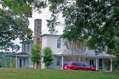 Cagle Houselisted 2002
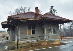 Georgia Marble Company and Tate Historic Districtlisted 2005
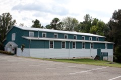 Tate Gymnasiumlisted 2002
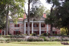 Tate Houselisted 1974
Topographic sheets covering this place
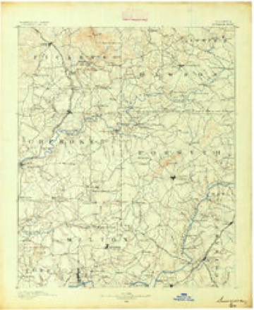
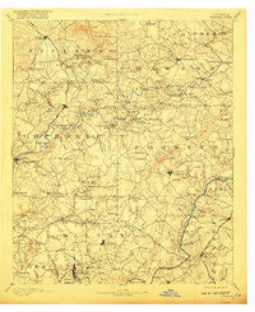
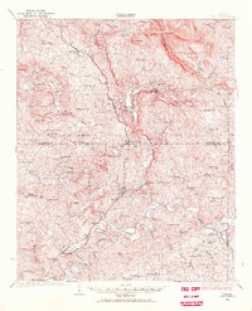
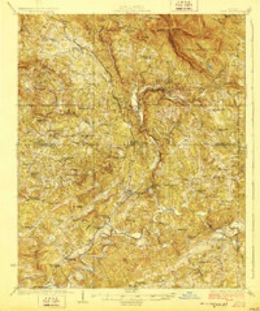
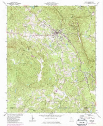
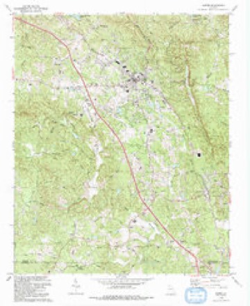
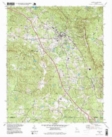
12 surveys from 21 printed sheetsMatched by testing this settlement's coordinate against the published boundary of every sheet in the United States Geological Survey's historical collection. Each opens the scanned sheet at the Survey.
- 1890 USGS Suwanee quadrangle1:125000
- 1894 USGS Suwanee quadrangle1:125000, 6 printings
- 1926 USGS Tate quadrangle1:62500
- 1928 USGS Tate quadrangle1:62500
- 1955 USGS Rome quadrangle1:250000
- 1958 USGS Rome quadrangle1:250000, 3 printings
- 1961 USGS Rome quadrangle1:250000
- 1963 USGS Rome quadrangle1:250000
- 1973 USGS Jasper quadrangle1:24000, 2 printings
- 1981 USGS Cartersville quadrangle1:100000, 2 printings
- 1992 USGS Jasper quadrangle1:24000
- 1997 USGS Jasper quadrangle1:24000




Fires near this place
413 since 1992Regional context, not property-specific evidence. The federal wildfire occurrence database lists 413 fires within 5 miles of Tate between 1992 and 2020, burning about 1,788 acres in total. 9 started naturally. 118 were recorded as arson. Distance is straight-line from the map coordinates, so a fire counted here may appear on a neighbouring settlement's page as well.
| Reported cause | Fires |
|---|---|
| Debris and open burning | 184 |
| Arson/incendiarism | 118 |
| Missing data/not specified/undetermined | 30 |
| Equipment and vehicle use | 21 |
| Smoking | 16 |
| Misuse of fire by a minor | 14 |
| Railroad operations and maintenance | 12 |
| Natural | 9 |
| Recreation and ceremony | 9 |
The most recent of them, most recent first, with the day each was reported and the service that recorded it.
| Date | Cause | Size | Reported by | Name on the report |
|---|---|---|---|---|
| 9 September 2002 | Debris and open burning | under an acre | Georgia Forestry Commission | FY2003-PICKENS-017 |
| 8 September 2002 | Recreation and ceremony | under an acre | Georgia Forestry Commission | FY2003-CHEROKEE-007 |
| 8 September 1999 | Missing data/not specified/undetermined | under an acre | Georgia Forestry Commission | not named |
| 5 September 2002 | Arson/incendiarism | under an acre | Georgia Forestry Commission | FY2003-PICKENS-016 |
| 5 September 1999 | Missing data/not specified/undetermined | under an acre | Georgia Forestry Commission | not named |
| 4 September 2010 | Debris and open burning | 1.5 acres | Georgia Forestry Commission | FY2011-CHEROKEE-004 |
| 4 September 2002 | Railroad operations and maintenance | under an acre | Georgia Forestry Commission | FY2003-PICKENS-013 |
| 4 September 2002 | Railroad operations and maintenance | under an acre | Georgia Forestry Commission | FY2003-PICKENS-012 |
Settlements close enough to share some of these fires:
Mines and quarries near this place
10 of 40 shownRegional context, not property-specific evidence. The federal mineral resources record lists 40 workings within 5 miles of Tate: 17 past producers, 13 prospects, 5 occurrences, 5 producers. 5 still produce. What was taken out: Mica, Marble, Dimension, Stone, Crushed/Broken, Iron. Distance is straight-line from the map coordinates, so a quarry counted here may appear on a neighbouring settlement's page as well.
| Where | Site | Commodity | Status | Recorded |
|---|---|---|---|---|
| Denson Mines | Mica, Beryllium | Past Producer | ||
| Burty No.1 | Gold | Past Producer | Stream Placer | |
| Charcoal Quarry | Flagstone | Past Producer | ||
| North Georgia Quarry | Flagstone | Past Producer | ||
| Richards | Gold | Prospect | Placer | |
| A.M.Darnell Prospect | Iron | Prospect | ||
| Grady Holbert Property | Iron | Past Producer | Residual | |
| Grady Holbert Property | Iron | Past Producer | ||
| S.C. Tate Estate | Iron | Past Producer | Residual | |
| W.J. Hogan Property | Iron | Prospect |
Storms near this place
12 since 1995Regional context, not property-specific evidence. The National Weather Service names Tate in 12 storm reports between 1995 and 2026: 8 thunderstorm wind, 3 hail, 1 tornado. The reports record 10 injuries. Each account below is quoted exactly as the forecast office filed it, from the NOAA Storm Events Database, and each date opens the federal record of that event.
| When | Event | Place named | Harm | What the report says |
|---|---|---|---|---|
| November 2002 | Tornado (F2) | Tate | 10 hurt, $5,600,000 | The tornado that originated in Cherokee county near Beasley Gap, continued into and across Pickens county. Once again, the National Weather Service disaster survey team determined that this was a multi-segmented tornado, with much of the damage along the path caused by straight line winds of at least 70 mph. The tornado entered the county southwest of Cagle, then continued on to just north of Tate roughly paralleling Georgia Highway 108, then turned more eastward along Georgia Highway 53 to near Marblehill, through the Big Canoe golf course and recreation area, then east of Big Canoe into extreme western Dawson county. There was definite evidence of F2 tornadic damage just north of Tate where winds were estimated in the 113 to 157 mph range. Some of the hardest hit areas included homes on Pleasant Union Road near the Cherokee county border; the Mountain Lakes Estates area, where several homes suffered extensive damage; the Bethany-Salem district where at least 56 structures were damaged or destroyed; Refuge Road near Tate, the town suffering some of the greatest damage where several homes and business were destroyed; the Big Canoe area near the Dawson county border, where several homes were damaged and the tennis center suffered extensive damage. All together, a total of 26 structures, mostly residential homes were destroyed, 142 structures were partially damaged, 2 businesses were destroyed, and 14 vehicles were totally destroyed. In addition, ten people were injured, primarily in damaged homes or trapped in vehicles on which trees fell. One of the businesses destroyed was the popular Davis's Barbeque on Georgia Highway 108. The restaurant was completely blown away, including the 20-foot white columns that stood in front of the restaurant. Three of the injuries in the county occurred in new mobile homes behind the Barbeque restaurant when their homes were flattened by the winds and other debris from the restaurant. One of the children injured, a 4-year old girl, was found by a nearby pond. The Refuge Baptist Church suffered extensive damage and was left in shambles. The historic Big Canoe chapel was also among the structures suffering damage. The steeple and all of the windows were lost from the church along with other structural damage to both the exterior and interior walls. Numerous trees were uprooted and many power lines were damaged along the path. Thirty people had to be put up in shelters and at least 6000 people were left without power for an extended period. Pickens county was the hardest hit of five counties declared in a state of emergency by the governor. |
| June 1995 | Thunderstorm Wind | Tate | $20,000 | Thunderstorm winds blew the roof off of a house and knocked trees down on cars. |
| June 2015 | Thunderstorm Wind | Tate | $8,000 | The Pickens County 911 Center reported a power line was blown down near Bradley Court and Parker Road causing a fire in an adjacent field. |
| March 2026 | Thunderstorm Wind | Tate | $1,000 | The emergency manager relayed a report of a tree down 1 mile n of tate. |
| November 2010 | Thunderstorm Wind | Tate | $1,000 | The Pickens County 911 Center reported that a two to three trees were down in the vicinity of Tate. |
| June 1998 | Thunderstorm Wind | Tate | $1,000 | Pickens county 911 reported several trees down. |
| April 2023 | Thunderstorm Wind | Tate | - | Report of trees and powerlines down at Refuge Valley Rd and Waleska 108. |
| August 2022 | Thunderstorm Wind | Tate | - | Numerous trees and large branches down near GA-53 and Christian Ave in Tate. |
| July 2004 | Hail | Tate | - | The public reported dime to quarter-sized hail. |
| May 2001 | Hail | Tate | - | The public reported dime size hail. |
| April 1999 | Hail | Tate | - | The public reported quarter size hail. |
| May 1995 | Thunderstorm Wind | Tate | - | Thunderstorm winds knocked down several trees within the city limit. |
Nearest settlements
The eight closest, with where each one stands in the county. Distances are straight-line, computed from the Geographic Names Information System coordinates.
Elsewhere
Matched on this settlement's Geographic Names Information System number rather than its name, so it cannot be a different place of the same name in another state.
| Wikipedia article on Tate | An encyclopaedic summary. Its text is share-alike, so it is linked here rather than copied. |
| Wikidata item Q3709035 | The structured record the population and elevation above come from. Public domain (CC0). |
Provenance
This settlement is recorded in the Geographic Names Information System as feature 356584. The sheet list is computed by point-in-boundary test against the United States Geological Survey's historical topographic inventory. Both are works of the United States government and carry no copyright under 17 U.S.C. 105.
Wildfire. Short, Karen C. 2022. Spatial wildfire occurrence data for the United States, 1992-2020 [FPA_FOD_20221014]. 6th Edition. Fort Collins, CO: Forest Service Research Data Archive. https://doi.org/10.2737/RDS-2013-0009.6 Collected with United States Government funding and usable without additional permissions or fees.
Mines and quarries. USGS Mineral Resources Data System (MRDS) https://mrdata.usgs.gov/mrds/ A work of the United States government, no copyright under 17 U.S.C. 105.
Storms. NOAA National Centers for Environmental Information, Storm Events Database https://www.ncei.noaa.gov/stormevents/ A work of the United States government, no copyright under 17 U.S.C. 105. Narratives are quoted verbatim from the National Weather Service report and are not edited or summarised.