 Block
From the record
8 National Register listings published here.
Sources: the National Register database, National Park Service
16 topographic sheets and 8 fire insurance atlases across 1 place.
8 National Register listings published here.
Sources: the National Register database, National Park Service
Taken for the Office of War Information and the Farm Security Administration, who photographed the country between 1935 and 1944. Works of United States government photographers, with no known restriction on use. Each opens its catalogue record.

Every property in this county listed on the National Register of Historic Places, with the year it was listed and the federal nomination document.
| Photograph | Property | Type | Listed | Reference |
|---|---|---|---|---|
 | Hawkinsville City Hall-Auditorium | building | 1973 | 73000638 |
 | Hawkinsville Commercial and Industrial Historic District | district | 2004 | 04001349 |
 | Hawkinsville Public School | building | 2008 | 08000492 |
 | Merritt-Ragan House | building | 1991 | 91001156 |
 | Pulaski County Courthouse | building | 1980 | 80001224 |
| R. J. Taylor Memorial Hospital | building | 2021 | 100006907 | |
 | St. Thomas African Methodist Episcopal Church | building | 2000 | 00001477 |
 | Taylor Hall | building | 1978 | 78001000 |
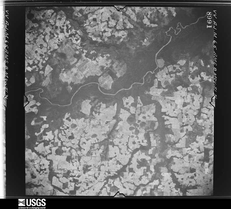
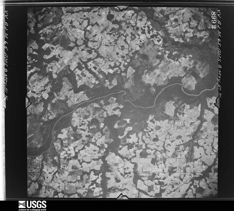
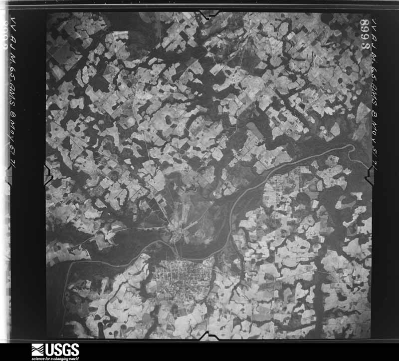
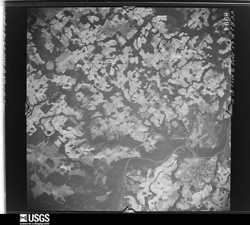
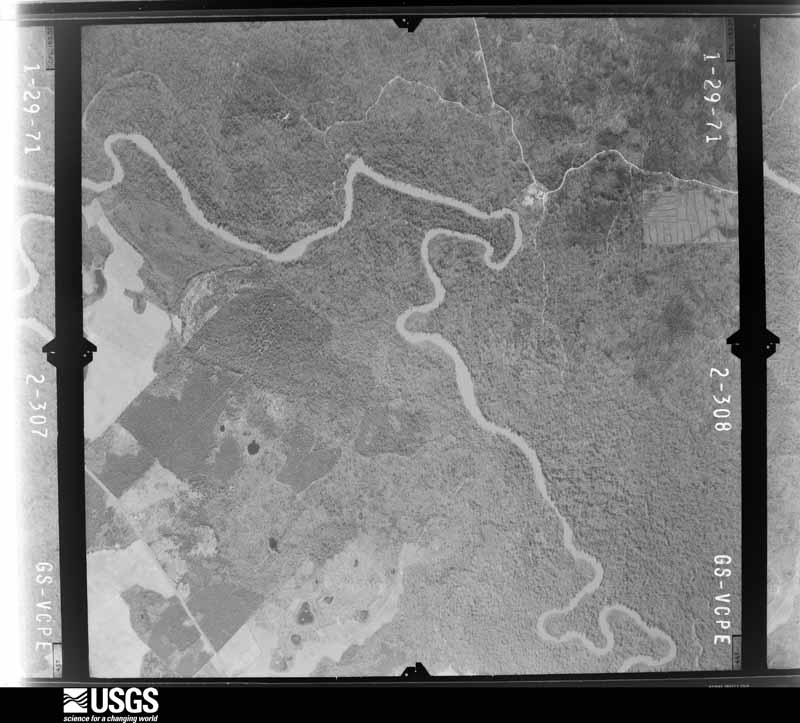
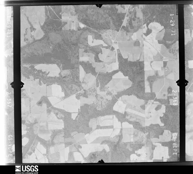
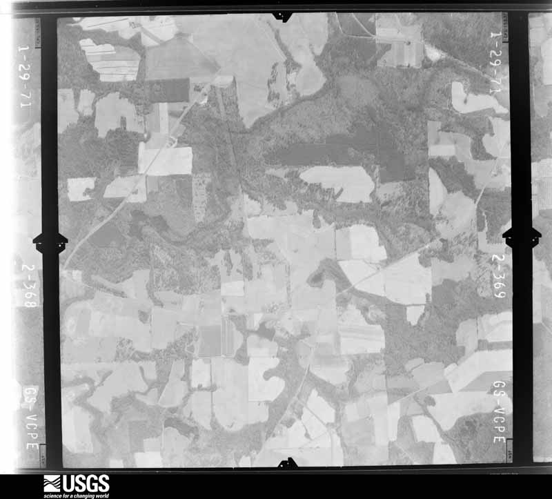
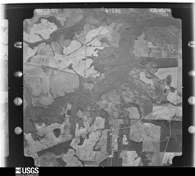
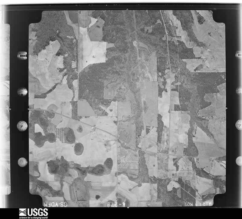
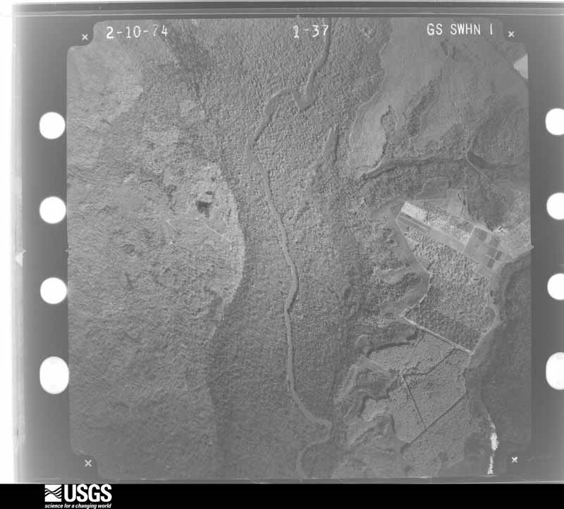
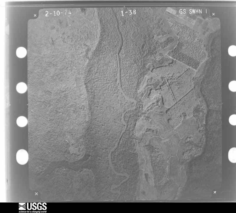
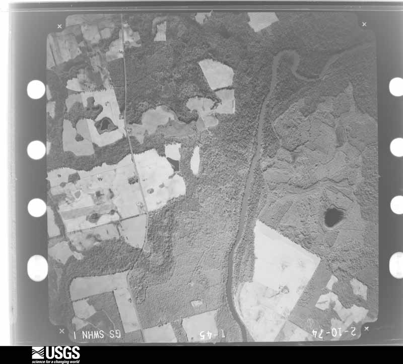
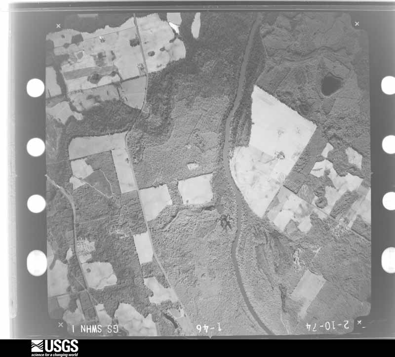
Flown by the U.S. Geological Survey between 1937 and 1989, the Aerial Photo Single Frames collection is the definitive mid-century view of the land: fields, roads and rivers as the camera saw them. The Survey holds 413 frames inside the rectangle that bounds this county; the 19 frames below were taken over the county itself, chosen across the decades of flights (at most four a year from that rectangle), so one flight cannot crowd out the rest. The full set is free to browse and download at EarthExplorer under the dataset Aerial Photo Single Frames.
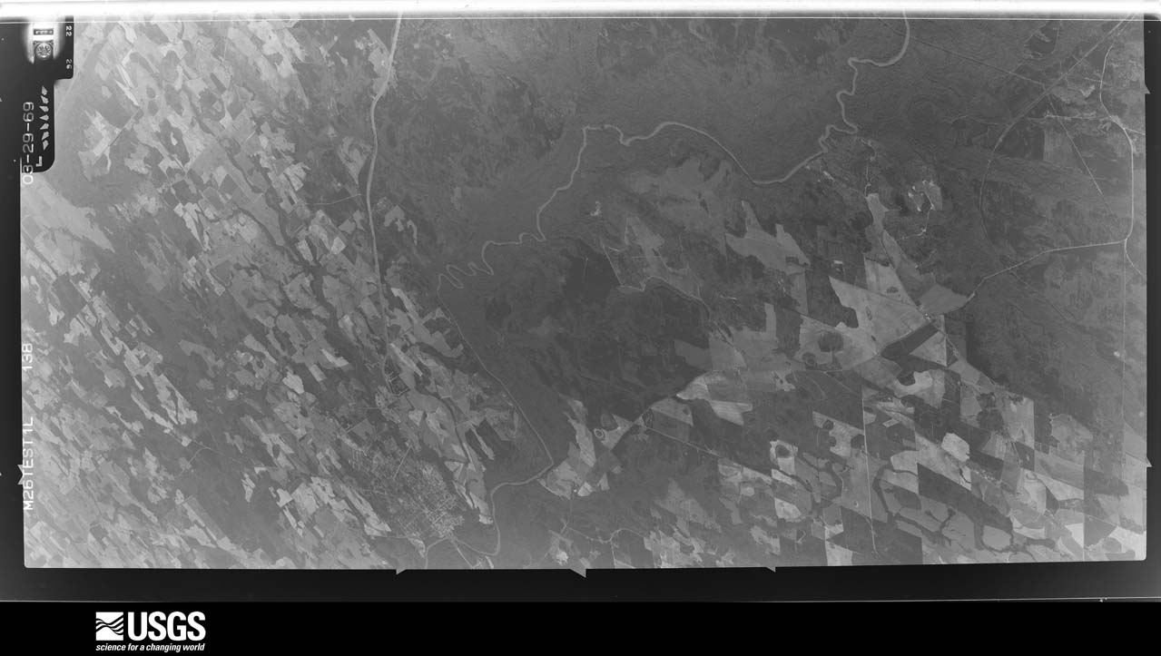
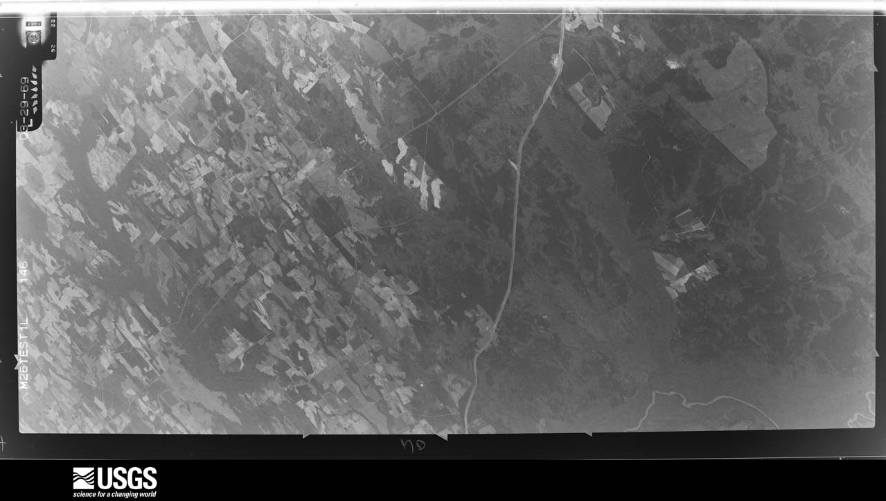
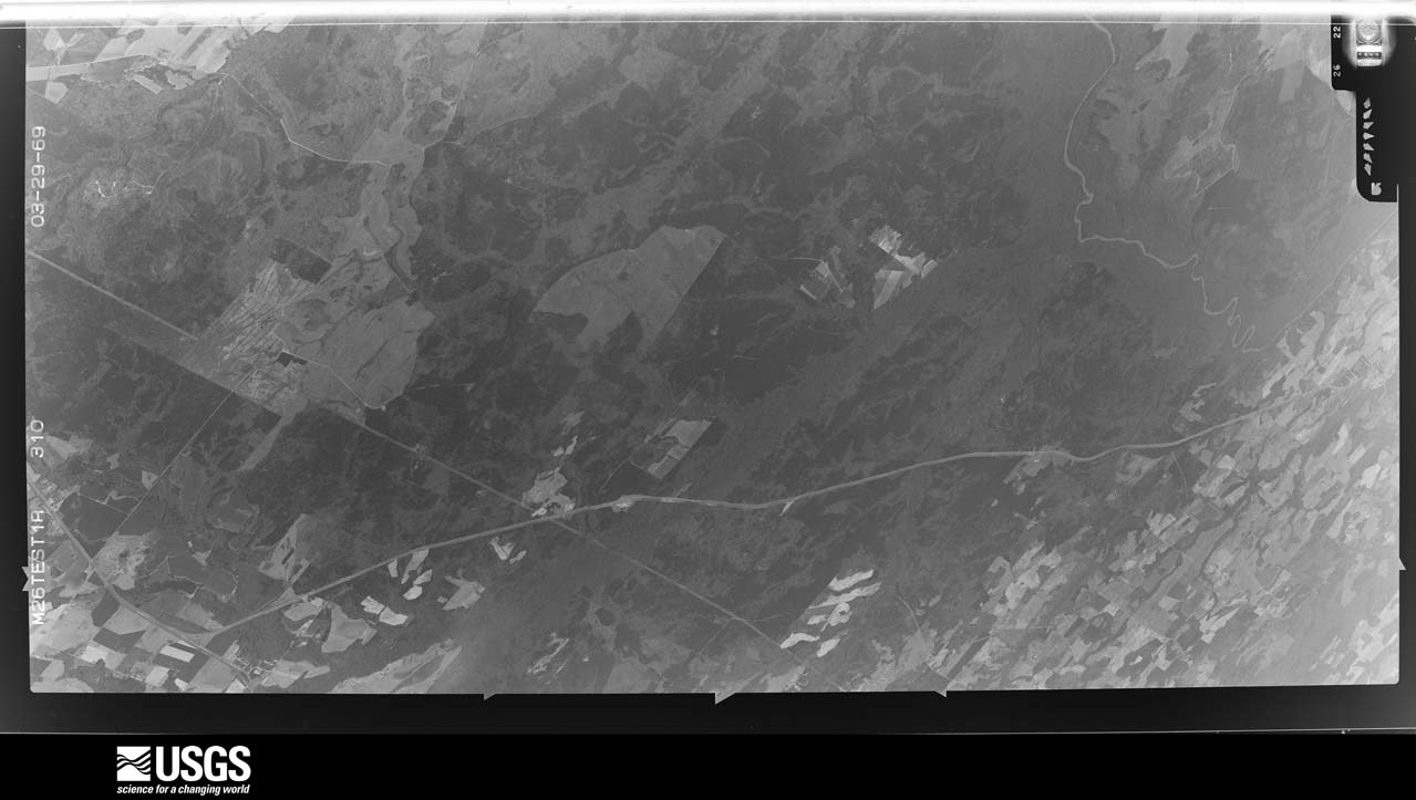
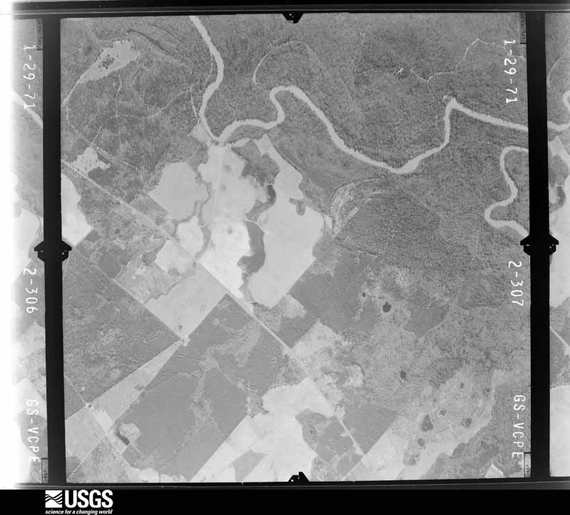


The thermometers that kept this county's weather, and the gages that measured the flow of its streams, as the federal records hold them. The extremes below are measured values from those records, not estimates.
Who lived here in 1950, one enumeration district at a time, as the Census Bureau described each district. Each row opens its official National Archives result, with Population Schedules and ED Maps available there.
Every wildfire the federal occurrence database records inside this county: 1,367 of them, burning about 3,658 acres. 62 started naturally and 64 were recorded as arson. Each settlement page carries the fires within five miles of it.
| Reported cause | Fires |
|---|---|
| Debris and open burning | 966 |
| Equipment and vehicle use | 155 |
| Arson/incendiarism | 64 |
| Natural | 62 |
| Smoking | 47 |
| Missing data/not specified/undetermined | 42 |
| Misuse of fire by a minor | 20 |
| Recreation and ceremony | 11 |
The five largest, by the area the report gives. One of them was set deliberately.
| Date | Cause | Size | Reported by | Name on the report |
|---|---|---|---|---|
| 12 March 2005 | Debris and open burning | 107 acres | Georgia Forestry Commission | not named |
| 20 May 2000 | Debris and open burning | 93 acres | Georgia Forestry Commission | FY2000-PULASKI-083 |
| 16 February 2002 | Debris and open burning | 82 acres | Georgia Forestry Commission | FY2002-PULASKI-038 |
| 28 August 2014 | Debris and open burning | 78 acres | Georgia Forestry Commission | FY2015-PULASKI-008 |
| 10 November 2007 | Debris and open burning | 70 acres | Georgia Forestry Commission | not named |
| 23 March 2007 | Arson/incendiarism | 60 acres | Georgia Forestry Commission | not named |
| 16 July 2006 | Natural | 56 acres | Georgia Forestry Commission | not named |
| 19 May 2011 | Debris and open burning | 49 acres | Georgia Forestry Commission | FY2011-PULASKI-079 |
Every settlement page carries the fires within five miles of it - see the settlement index below.
The NOAA Storm Events Database holds 142 reports for this county, causing 2 deaths, 2 injuries and about $2,768,700 in recorded property damage. Each settlement page carries the reports that name it.
| Kind of event | Reports |
|---|---|
| Thunderstorm Wind | 84 |
| Hail | 27 |
| Tornado | 15 |
| Flash Flood | 6 |
| Lightning | 4 |
| Heavy Rain | 4 |
| Flood | 2 |
The most serious of them, by death, then injury, then recorded damage. The accounts are quoted exactly as the forecast office filed them.
| When | Event | Place named | Harm | What the report says |
|---|---|---|---|---|
| July 1995 | Thunderstorm Wind | Hawkinsville | 1 killed, $25,000 | Thunderstorm winds knocked a tree down on a home, killing one person inside. Trees and power lines were knocked down throughout the county. (F??PH) |
| August 2003 | Heavy Rain | Hawkinsville | 1 killed | The Pulaski county Emergency Management Director reported that a 14-year old male fell into a rain-swollen drainage ditch. He was subsequently swept away and carried nearly two blocks away from where he fell in. He was killed instantly. Approximately 2.5 inches of rain had fallen in the area in just a 45 to 60 minute period of time. High water was also reported on several roads in the area. |
| May 1989 | Tornado (F1) | not stated | 1 hurt, $250,000 | no account filed |
| October 2021 | Thunderstorm Wind | Finleyson | 1 hurt, $1,000 | The Pulaski County Emergency Manager reported a tree blown down near the intersection of Highway 230 and Rocky Spring Road. A vehicle ran into the downed tree resulting in one injury. |
| May 2009 | Thunderstorm Wind | Hawkinsville | $350,000 | The Pulaski County Emergency Management Director reported extensive wind damage in the northern part of the county from Hawkinsville to just northwest of Mobley Crossing near the Bleckley county line. More than two dozen trees were down in the area and a number of power lines. At least one structure suffered substantial damage when a tree fell on the structure. Several homes on the northwest side of Hawkinsville, especially along Jackson and Dooly streets, sustained minor to moderate roof damage when shingles or portions of the roofs were torn off the homes. |
| April 2011 | Thunderstorm Wind | Browndale | $250,000 | The Pulaski County Emergency Management Director reported that up to 30 trees were down across the county. A number of power lines were down as well. Several roads were blocked at the height of the storm and Wood Street in Hawkinsville remained blocked from downed trees into the next day. One mobile home was destroyed by a downed tree and two other homes sustained minor to moderate damage. |
| March 2005 | Flash Flood | Countywide | $250,000 | The Pulaski County Sheriff's office and the Hawkinsville Dispatch and News reported that extensive flooding was occurring throughout the county. A number of secondary county roads were flooded and closed. A portion of Georgia Highway 112 was washed out in the southern portion of the county. In addition, the Hawkinsville North Fresh Water Plant had to be closed because of flooding. Rainfall of four to five inches fell across much of the county between mid morning and early evening, with local amounts of six to eight inches, especially in the far northern portion of the county. Isolated reports of up to 10.5 inches of rain were also received. |
| March 1980 | Tornado (F1) | not stated | $250,000 | no account filed |
| April 1964 | Tornado (F1) | not stated | $250,000 | no account filed |
| June 2008 | Thunderstorm Wind | Hawkinsville | $210,000 | The Pulaski County Emergency Management Director reported that four buildings at the Harness Horse Racing Training Facility sustained significant damage from downburst thunderstorm winds. Damages to the facility exceeded $200,000. At least two trees were also down on power lines in the area of Lower River Road and Woodard Road. |
| December 2005 | Tornado (F0) | Finleyson | $100,000 | A damage survey conducted by the Pulaski County Emergency Manager confirmed that an F0 tornado had touched down in the extreme southern part of the county near the Wilcox county line near the town of Finleyson, just north of the town of Pineview. One house was blown off its foundation and moved some five to eight feet from its original location. A 20 by 30 foot metal shop was blown away with debris scattered up to 1/2 mile away. A peanut trailer was moved across a field and destroyed. A tractor was also blown away and destroyed. In addition, five homes had roof damage with shingles lifted off and several irrigation pivots were turned over. |
| June 2010 | Thunderstorm Wind | Hawkinsville | $75,000 | The Pulaski County Emergency Management Director reported that two buildings at an irrigation company off U.S. Highway 129, two miles south of Hawkinsville, were damaged from thunderstorm downburst winds. A pontoon was pushed approximately 100 yards into one of these buildings. Anywhere from six to eight trees and a few power lines and phone lines were also down in this same general area. |
| February 2008 | Thunderstorm Wind | Browndale | $75,000 | The Pulaski County Emergency Management Director reported that several trees were blown down throughout the county. Trees were blocking parts of Upper River, Lower River, and Industrial Boulevard in Hawkinsville. In addition, a grain elevator was toppled over in Hawkinsville. |
| March 2011 | Hail | Hawkinsville | $63,000 | The Pulaski County Sheriff's Office observed golf ball-sized hail approximately five miles south of Hawkinsville. WSR-88D radar data suggests that quarter to golf ball-sized hail likely fell across the county from west of Hawkinsville to southeast of Hawkinsville. |
| June 1999 | Thunderstorm Wind | Countywide | $50,000 | The newspaper article said that thunderstorm winds did extensive damage to four center-pivot irrigation systems and a number of farm buildings. Two barns were totally destroyed, and at least 6 homes were damaged. |
| April 1998 | Thunderstorm Wind | Hawkinsville | $50,000 | Sight survey by a NWS employee showed the damage path continued out of Houston county into Pulaski county. Over 150 pecan trees in 2 separate orchards were blown down. Very large oak and pine trees were also knocked down. An unoccupied mobile home was flipped and landed 30 to 40 feet away. It was upright and intact, but destroyed. The EMA director indicated a total of 17 homes were damaged or destroyed. Most of the damage came from falling trees. Power outages also resulted when trees fell on power lines. |
| August 1998 | Thunderstorm Wind | Hawkinsville | $50,000 | A sudden downburst from a thunderstorm peeled the roof off a high school gymnasium. Georgia Emergency Agency reported numerous trees and power lines were downed as well. |
| June 2001 | Flash Flood | Countywide | $45,000 | The Pulaski county Emergency Management Director and the Macon Telegraph reported that very heavy rain caused Fost Road in the southwest part of the county to be washed out. A culvert washed out of the road leaving a 10 foot canyon where the road had been. Several other dirt roads were washed out in the county and several crops were flooded. |
| May 2003 | Thunderstorm Wind | Hawkinsville | $30,000 | The Pulaski county 911 center reported that 30 to 40 trees were blown down, some falling on and causing minor structural damage to homes. One home suffered significant damage when a large oak tree fell on the structure, as well as the two nearby vehicles in the driveway. Five barns at the end of the Harness Track Arena suffered substantial damage as the wind tore off the tin roofs. |
| March 2009 | Thunderstorm Wind | Browndale | $25,000 | The Pulaski County Emergency Management Director reported that two trees were down in the area just southeast of Browndale. One of the trees was down on a home causing considerable damage to the roof of the structure. |
| June 2008 | Lightning | Hawkinsville | $25,000 | The Pulaski County Emergency Management Director reported that lightning strikes ignited two fires in southwest Pulaski county, one to a wheat field and the other to some woods. Nine acres of a wheat field burned and two acres of woods burned before the fires were extinguished. |
| March 2003 | Flash Flood | Countywide | $25,000 | The Pulaski county 911 center reported that excessive rainfall caused extensive flooding to roads in the county. Some of the major roads flooded included U.S. Highway 341, U.S. Highway 129, and Georgia Highway 26. A number of roads were washed out. |
| April 1998 | Thunderstorm Wind | Hawkinsville | $25,000 | Numerous trees were downed by thunderstorm winds, some falling on power lines causing power outages. Roofs were taken off houses. Quarter size hail was also reported. |
| November 1983 | Tornado (F1) | not stated | $25,000 | no account filed |
| April 1972 | Tornado (F1) | not stated | $25,000 | no account filed |
| September 2017 | Thunderstorm Wind | Finleyson | $20,000 | The Pulaski County 911 center reported multiple trees and power lines blown down around the intersection of Highway 257 with Folds/Noble Road. One home sustained damage from a falling tree, no injuries were reported. |
| August 2000 | Lightning | Finleyson | $20,000 | The Hawkinsville Dispatch and News reported that lightning set fire to a double wide trailer when it struck a nearby pine tree. The bolt of lightning was believed to have traveled from the pine tree to the trailer and then through the trailer to the ground, thus starting the fire. Considerable damage to the trailer, especially the attic, and the contents was reported. |
| June 2015 | Thunderstorm Wind | Hawkinsville | $15,000 | The Pulaski County Emergency Manager reported a brick faade blown off of a business on Commerce Street in Hawkinsville. In addition, several trees were blown down in north Hawkinsville, some onto power lines, and the roof was torn off of a mobile home on Gooseneck Lane southeast of Hawkinsville. |
| January 2015 | Tornado (EF0) | Finleyson | $15,000 | An NWS survey team found that a brief EF0 tornado, with maximum wind speeds of 85 MPH and a maximum path width of 50 yards, touched down in far southern Pulaski County in the 1600 block of Pineview Highway. The tornado travelled .16 miles before dissipating. Approximately 20 small to medium-sized pine trees were snapped along the path of this tornado. A very large oak limb fell onto a brick outbuilding, causing minor damage to the roof and the covering was also blown off of a well house. [01/04/15: Tornado #1, County #1-1, EF0, Pulaski, 2015:001]. |
| January 2015 | Tornado (EF0) | Hawkinsville Arpt | $10,000 | An NWS survey team found that the same storm that produced a brief tornado in southern Pulaski County produced a new EF0 tornado, with maximum wind speeds of 85 MPH and a maximum path width of 100 yards, in eastern Pulaski County. The tornado touched down on Raleigh Cobb Road and traveled east-northeast for 2.18 miles before dissipating near Midway Church Road and Fire Road 246. A tin covered barn was blown over and minor damage was noted to the roof of a home. Several trees were downed along the path of the tornado. [01/04/15: Tornado #2, County #1-1, EF0, Pulaski, 2015:002]. |
| June 2009 | Thunderstorm Wind | Browndale | $10,000 | The Pulaski County Emergency Management Director reported that several trees (at least a dozen, possibly more) were down across the county. Some roads were blocked from downed trees. Radar data suggests that the strongest winds tracked across the county from northeast of Browndale to just west of Finleyson. |
| June 2007 | Thunderstorm Wind | Hawkinsville | $10,000 | The Pulaski County Emergency Management Director reported that eight trees were down in the Hawkinsville area. One building was also damaged. |
| June 2007 | Thunderstorm Wind | Hawkinsville | $10,000 | The Pulaski County Emergency Management Director reported that the roof was blown off a barn. The debris caused damage to another outbuilding and a nearby home. In addition, three trees were also blown down in the area. Pea-sized hail was also observed. |
| September 2004 | Heavy Rain | Countywide | $10,000 | The Hawkinsville Dispatch and News along with the Pulaski County 911 Center reported that heavy rain caused the newly renovated court house to suffer roof damage. The damaged roof allowed water to leak inside, causing damage to part of the new library. |
| May 2003 | Thunderstorm Wind | Countywide | $10,000 | The Pulaski county 911 center reported that a number of trees and several power lines were blown down around the county. In Hawkinsville, some road signs were blown over. |
| October 2002 | Lightning | Hawkinsville | $10,000 | The Hawkinsville Dispatch & News reported that lightning struck electrical lines in the downtown area causing an electrical surge that destroyed a number of computer and phone systems in downtown area buildings. The county offices in the courthouse and annex were the hardest hit with every office suffering computer damage and the entire phone system was out in the building. The courthouse clock and the bank clock across the street from the courthouse also stopped when the lightning hit. There were several other businesses affected by the lightning strike in the downtown area including a paint store, the Dispatch & News, an x-ray facility, and a drugstore. Each store suffered varying degrees of damage to computers and phone systems in the buildings. |
| January 2017 | Thunderstorm Wind | Hawkinsville | $5,000 | The Pulaski County Emergency Manager reported damage from thunderstorm winds in the Hawkinsville area including a large tree blown down on Rawls Street and a building on Eastman Highway with roof damage. |
| November 2014 | Thunderstorm Wind | Browndale | $5,000 | The Pulaski County 911 Center reported trees and power lines down along Macedonia Church Road. |
| November 2014 | Tornado (EF0) | Browndale | $5,000 | A NWS storm survey team determined that the tornado that touched down in Houston county moved into Pulaski County causing EF-0 damage with maximum wind speeds of 75 MPH. Trees were snapped and uprooted and a shed and fence were damaged before the tornado lifted near Highway 129. [11/23/14: Tornado #9, County #2-2, EF0, Houston-Pulaski, 2014:026]. |
| July 2013 | Flash Flood | Browndale | $5,000 | The Pulaski County emergency manager reported ditches overflowed a portion of Buck Creek Road east of Klondike with two feet of water and flooded a residential yard. A portion of Georgia Highway 26 near Browndale had erosion damage due to an overflowing culvert. |
| May 2012 | Lightning | Hawkinsville | $5,000 | The Pulaski County Emergency Manager reported that lightning struck a home near the center of town, catching electrical wires on fire. Overall the home sustained only minor damage, most of which was due to smoke. |
| April 2009 | Thunderstorm Wind | Browndale | $5,000 | WMAZ Television from Macon, Georgia reported that the metal roof of a home on U.S. Highway 341 near Brownwood was damaged from strong straight-line winds. Several outdoor objects were blown around. A tree was also down in the area and a window was blown out of a barn. |
| December 2005 | Hail | Finleyson | $5,000 | The Pulaski County 911 Center reported golf ball-sized hail. |
| February 1998 | Flash Flood | Southwest Portion | $5,000 | Localized flooding was reported by the county EMA. 5 county roads were closed and 1 was washed out. Nearly two inches of rain had fallen onto nearly saturated soil in the past 24 hours. |
| June 1998 | Thunderstorm Wind | Hawkinsville | $5,000 | 15 to 20 trees were blown down in and around Hawkinsville. |
| June 1994 | Thunderstorm Wind | Hawkinsville | $5,000 | Several trees and power lines were downed by thunderstorm winds. |
| April 1997 | Thunderstorm Wind | Hawkinsville | $5,000 | no account filed |
| July 2015 | Thunderstorm Wind | Tippets | $3,000 | The Pulaski County 911 Center reported trees and power lines down on Highway 230 just west of downtown Hawkinsville. |
| December 2009 | Flood | Wallace | $3,000 | The Pulaski County Emergency Management Director reported minor flooding of roads and property across the county, mostly adjacent to overflowing creeks. Russ Road near Wesley Chapel Road was flooded and closed. Monetary damage was confined to debris removal in these areas. |
| June 2009 | Thunderstorm Wind | Tippets | $3,000 | The Pulaski County 911 Center and the public reported that at least eight trees were down across the eastern part of the county. At least three trees were down in the Hawkinsville area, including on Anderson and 5th Streets. Five trees were down in the far southeastern corner of the county, well east of Wallace, on Midway Church Road near the Dodge county line. |
| June 1972 | Tornado (F0) | not stated | $2,500 | no account filed |
| April 1967 | Tornado (F0) | not stated | $2,500 | no account filed |
| April 1961 | Tornado (F1) | not stated | $2,500 | no account filed |
| March 1961 | Tornado (F0) | not stated | $2,500 | no account filed |
| April 1959 | Tornado (F1) | not stated | $2,500 | no account filed |
| June 2023 | Thunderstorm Wind | Finleyson | $2,000 | Trees down on hwy 257 near Friendship Church Road. |
| April 2020 | Thunderstorm Wind | Hawkinsville | $2,000 | Reports of trees and power lines down on Fale Street, in Hawkinsville. |
| June 2019 | Thunderstorm Wind | Tippets | $2,000 | The Pulaski County 911 center reported a few trees blown down on Highway 27 at mile marker 7 northeast of Snow Road. |
| March 2018 | Hail | Browndale | $2,000 | The Pulaski County Emergency Manager reported quarter size hail around the intersection of Highway 230 and Mock Springs Road. |
| June 2018 | Thunderstorm Wind | Finleyson | $2,000 | The Pulaski County Emergency Manager reported a couple of trees blown down along Highway 230 near Midway Church Road. |
The Survey's mineral resources record lists 2 workings inside this county. None of them still produces: all are closed or unrecorded. Each settlement page carries the workings within five miles of it.
| Commodity | Workings |
|---|---|
| Sand and Gravel, Construction | 2 |
The least common of them first, because a county's hundredth gravel pit says nothing its first ten did not.
| Where | Site | Commodity | Status | Recorded |
|---|---|---|---|---|
| Unnamed Sand Deposit | Sand and Gravel, Construction | Occurrence | Alluvium | |
| Unnamed Sand Deposit | Sand and Gravel, Construction | Occurrence | Alluvium |
Named settlements recorded in the Geographic Names Information System, each with the topographic sheets covering it. Villages, hamlets and abandoned places alike. Each is shown with the nearest named watercourse or landform and the survey quadrangle it falls on. The 1 place that was also surveyed for fire insurance comes first, with the number of atlases and photographs held for them.
Hawkinsville census division · 31036 · On Town Creek · Hawkinsville quadrangle
11 sheets, 1956 to 1988
Fire insurance: 8 atlases
Finleyson census division · 31071 · On Wolf Creek · Finleyson West quadrangle
8 sheets, 1957 to 1988
Hawkinsville census division · 31036 · On Mile Creek · Finleyson East quadrangle
8 sheets, 1957 to 1988
Hartford census division · 31036 · On Town Creek · Hawkinsville quadrangle
11 sheets, 1956 to 1988
Hawkinsville census division · 31036 · On Mile Creek · Hawkinsville quadrangle
11 sheets, 1956 to 1988
11 topographic sheets and 8 fire insurance atlases, 1885 to 1939
The complete index, with nothing left out. Each of these is a separate record with its own page: a federal survey report, or the case file that argued a property on to the National Register. Both are public domain and reproduced word for word.